Giveaways
AFTER Kaohsiung, I travelled a short distance around the southern end of Taiwan to arrive in Taitung City.
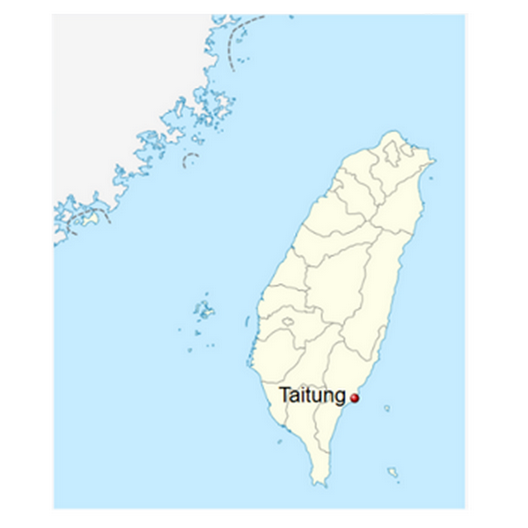
Taitung literally means ‘East Taiwan.’ As a name, it refers to a much larger county area, Taitung or East Taiwan County, as well as Taitung City.
Taitung City is the second-largest city on the east coast of Taiwan, even though its population is only just over 100,000. This makes Taitung a minnow by the standards of Taipei and the west coast.
The largest city on the east coast, Hualien, the gateway to the marble-walled Taroko Gorge — a must-see for next time — is only just larger.
In Taiwan’s latitudes, the prevailing winds blow from the east. So, the East Coast of Taiwan is wild, wet, and exposed.
With deep water immediately offshore and pounding waves, there isn’t much of a coastal plain either.
And so, the cities of Taiwan’s east coast are small — and the landscape spectacular.
In fact, the counties of Taitung and Hualien, plus the offshore Green Island, form the East Coast National Scenic Area.
But Taitung is not just on a scenic coast (of which more below), but also, at the heart of the chief remaining stronghold of Taiwan’s indigenous Austronesian cultures.
The Austronesians are a cultural and linguistic group native to Taiwan, which also expanded outward to establish a variety of southeast Asian and Pacific peoples.
The Austronesian diaspora includes the majority of Malays, Indonesians, and Filipinos — who number in hundreds of millions in total — along with the smaller island populations of Oceania, such as the Māori.
In nearly every case, the Austronesian diaspora established itself on islands of various sizes. Even peninsular Malaysia, the main exception to that rule, is almost an island. And Taiwan is an island, too.
The word ‘Austronesian’ was thus coined by modern scholars, from Greek words meaning ‘southern’ and ‘islands.’
Because the Taitung area retains a strong Austronesian heritage, Taitung is home to the main campus of Taiwan’s National Museum of Prehistory. In Taitung City, I stayed at the Who Knows Hostel, near the bus station, which was handy to everything. But I also went for a wander around the strongly Austronesian-themed ITA Taiwan Indigenous Cultural Resort, where I might stay next time.
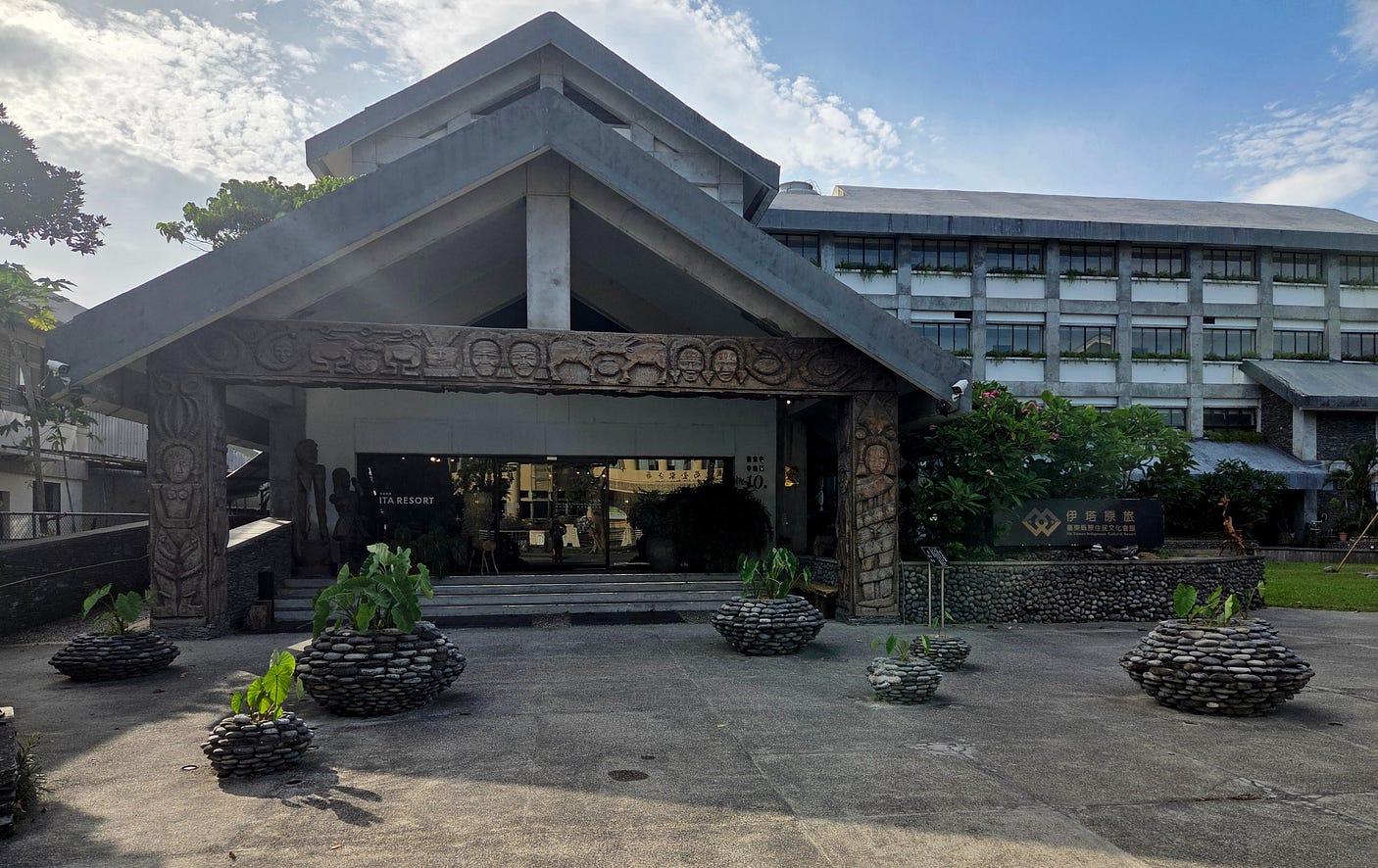
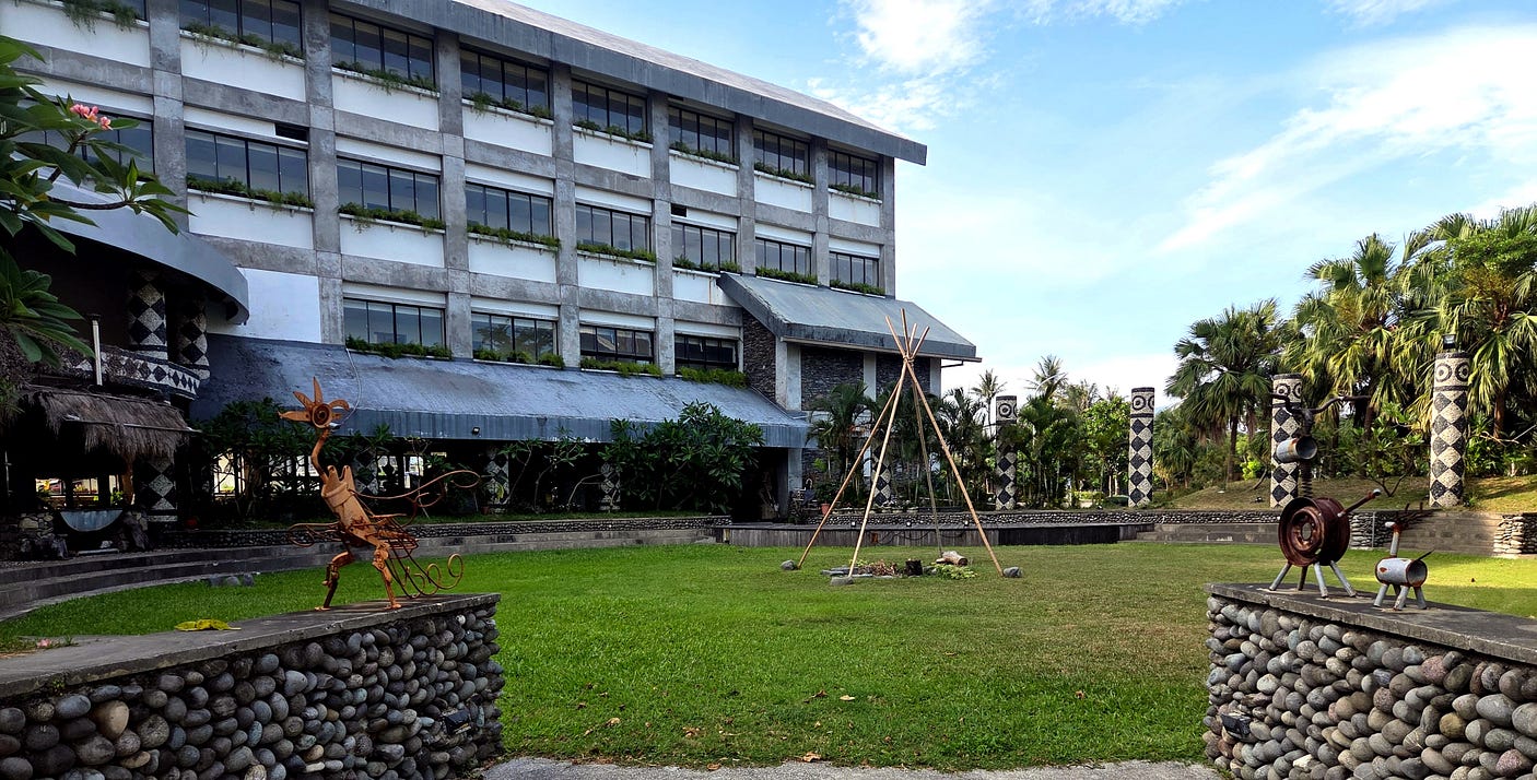
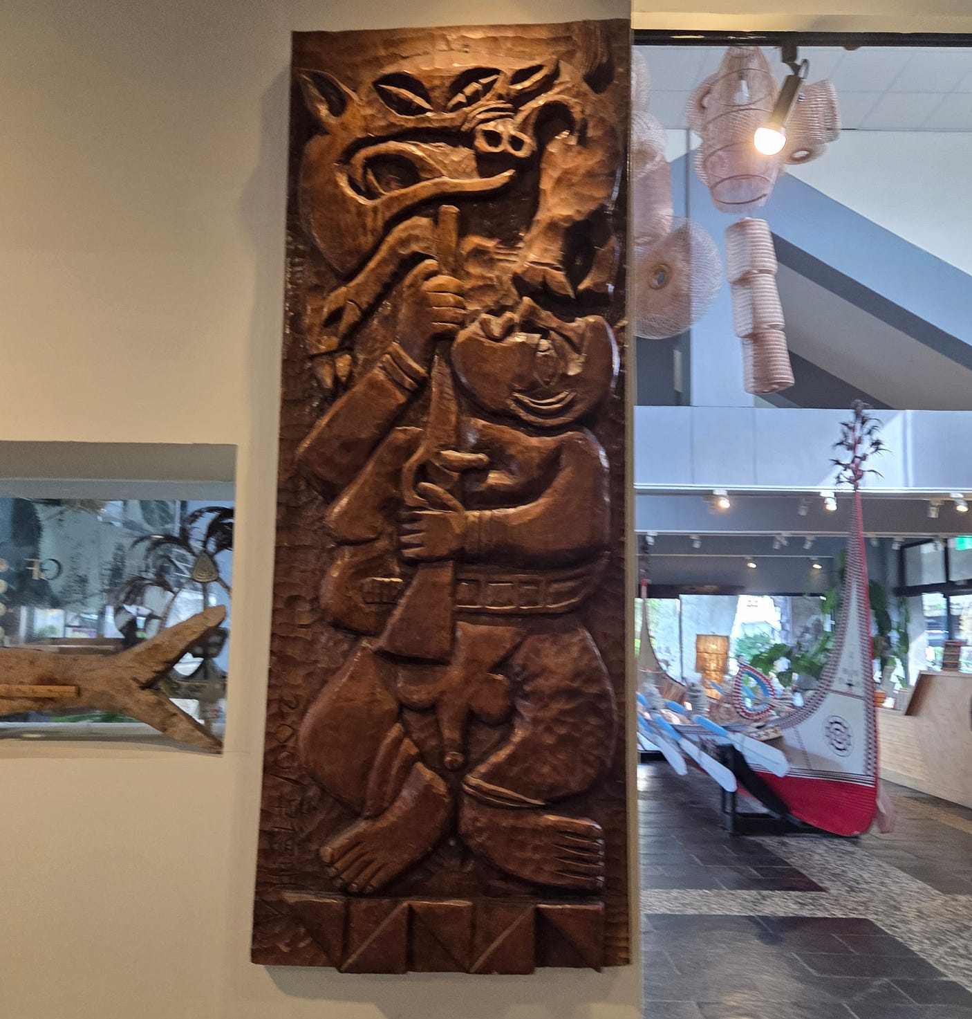
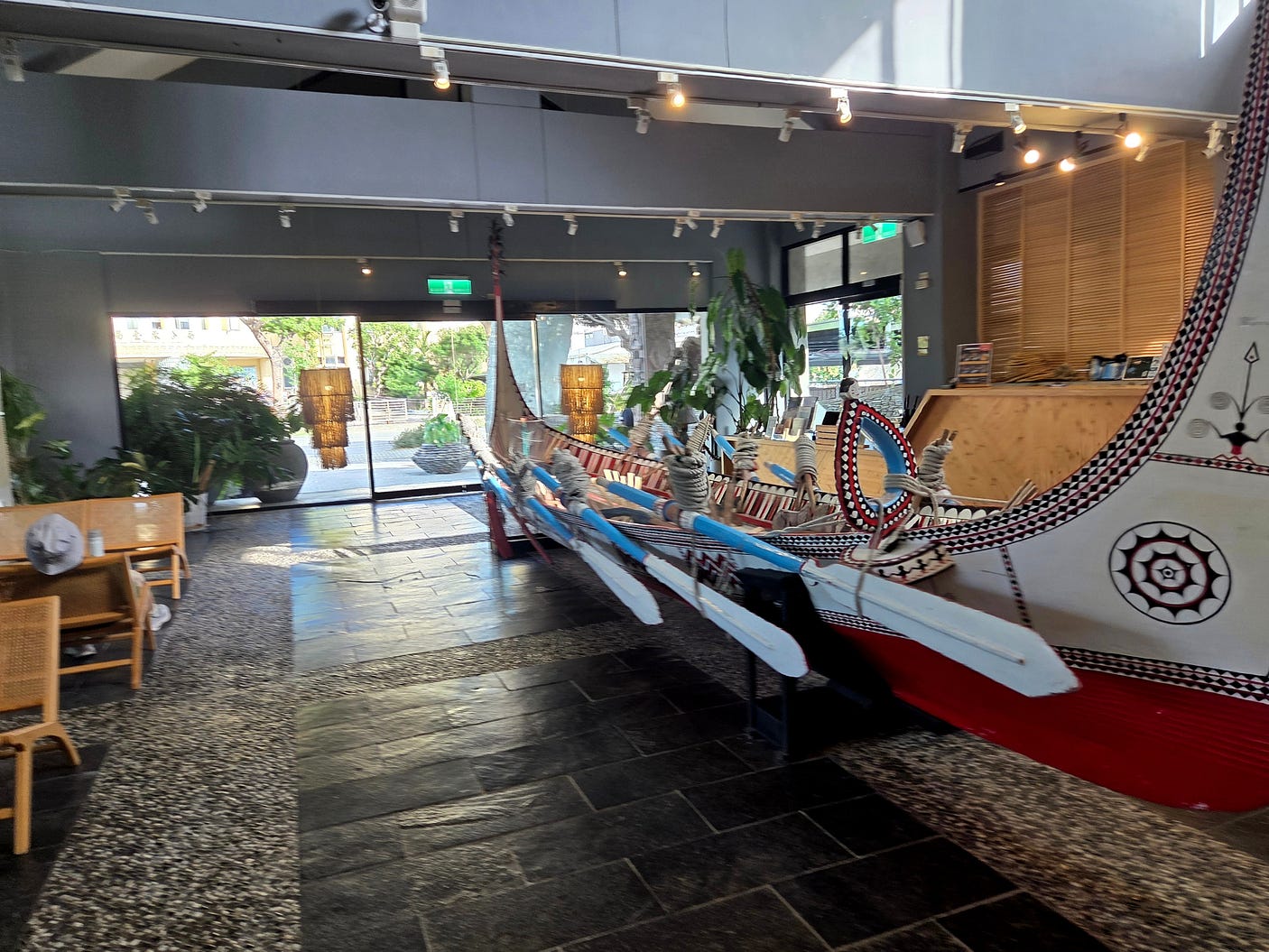
The ITA Resort has many amazing woodcarvings of heroes and spirit guardians. Here’s a modern-looking one, next to a white-topped and red-bottomed canoe, or waka as we would say in New Zealand, of the kind that are sailed by the Tao people of Orchid Island (Ponso no Tao).
Here is another view of the white canoe:
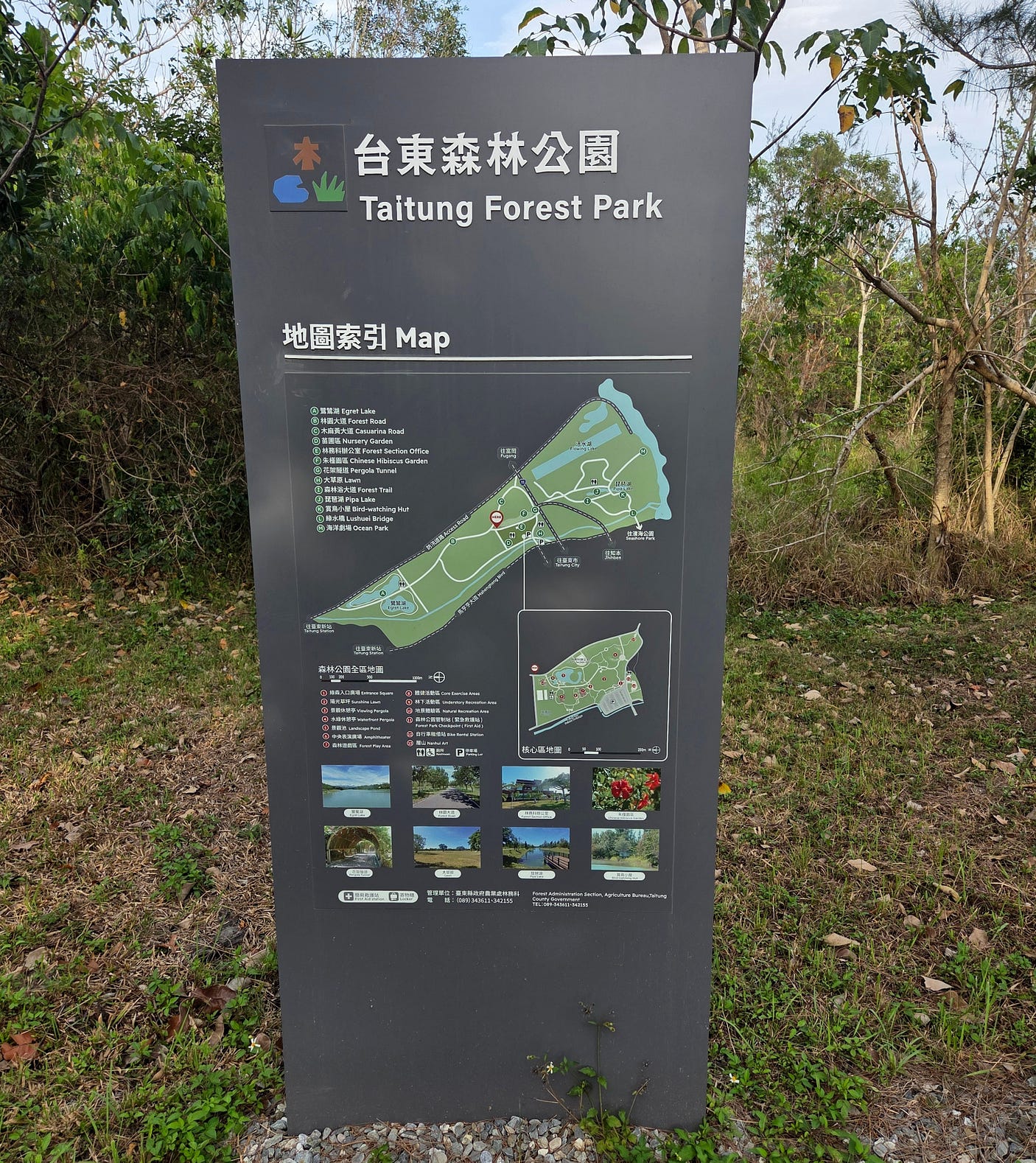
There was a grand esplanade between the built-up area of Taitung and the Beinan River to its north, called the Taitung Forest Park.
And a night market, the first one that I had visited in Taiwan.
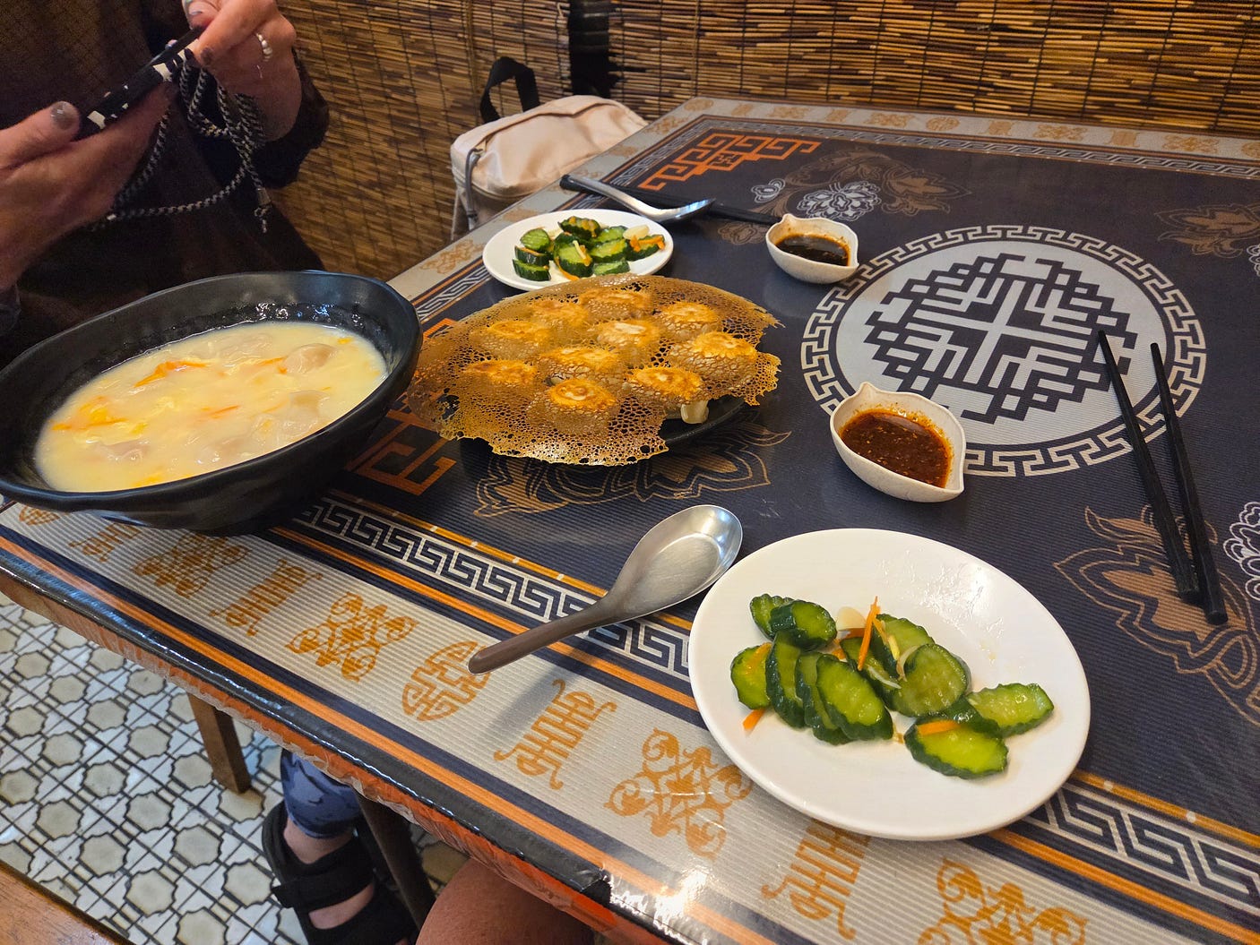
Here’s a photo of tofu dumplings, enjoyed with another traveller I met!
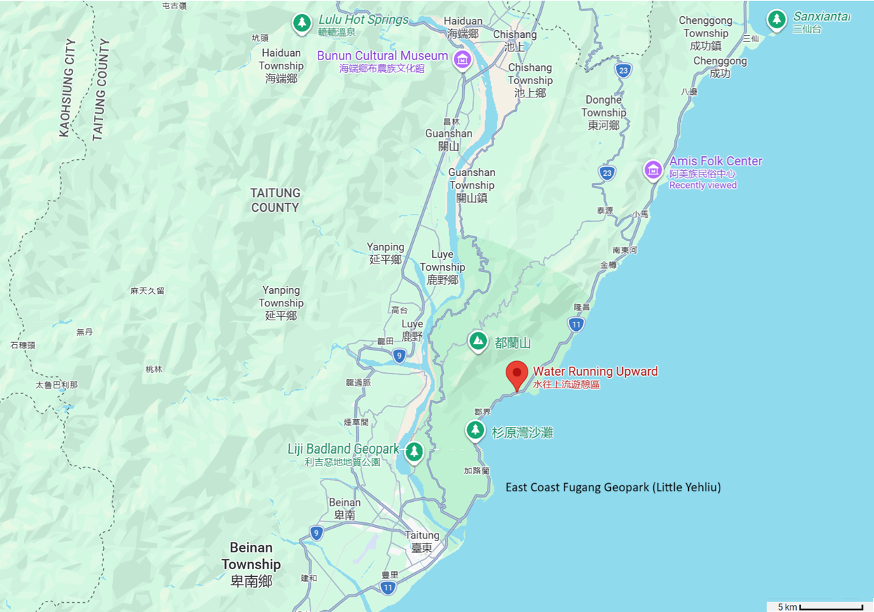
Taitung City was amazing! But of course, the city is not the only attraction on this scenic coast. And so, I joined a bus tour travelling up the coast as far as Sanxiantai, a rocky coral-reef island joined to the mainland since 1987 by an eight-arch pedestrian bridge, now a famous landmark.
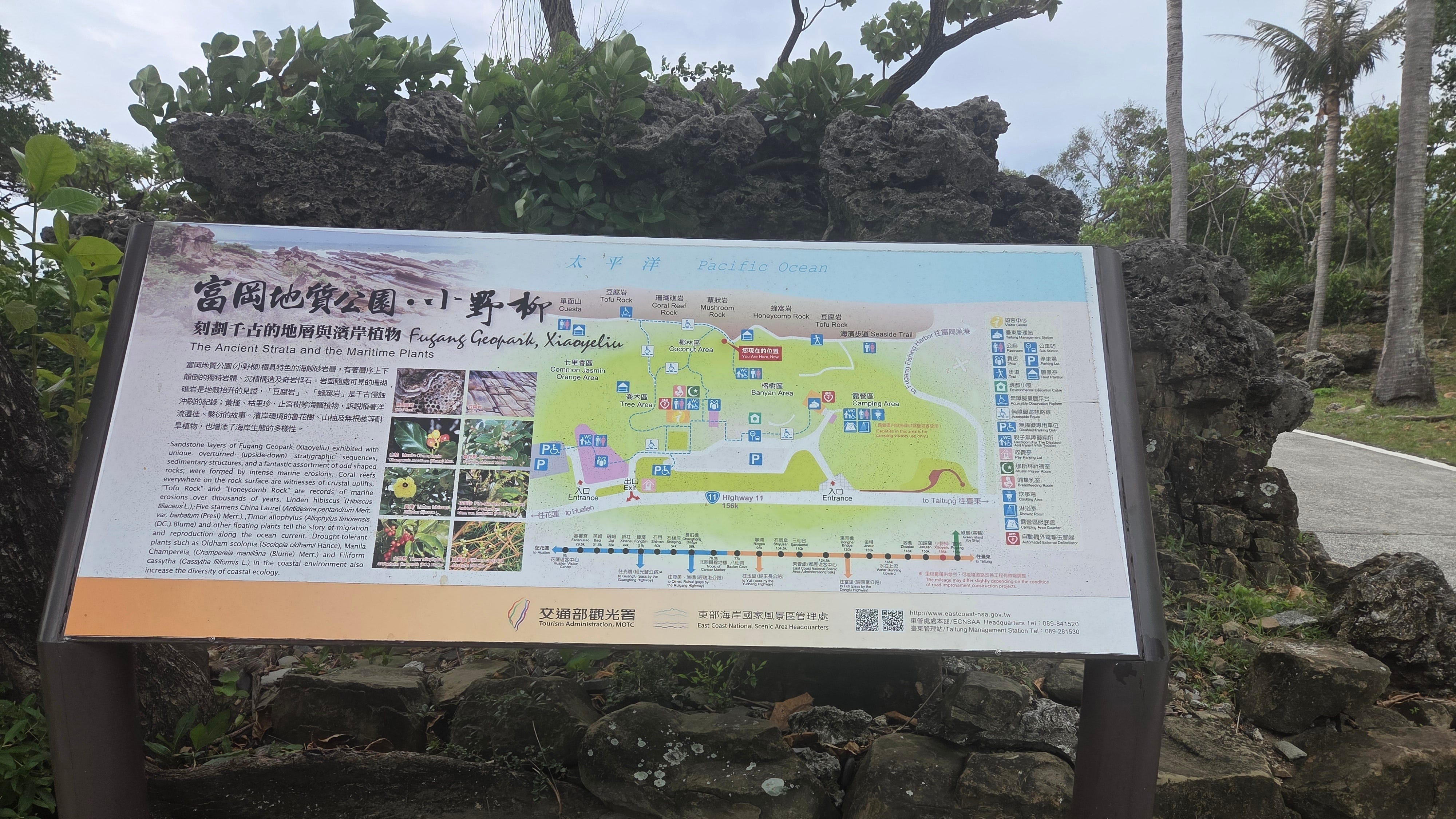
The first place we stopped at, not far north of Taitung City, was the Fugang Geopark, also known as Xiaoyeliu or ‘Little Yehliu’ because of its similarly weathered rocks, on which a lush coastal rainforest grows.
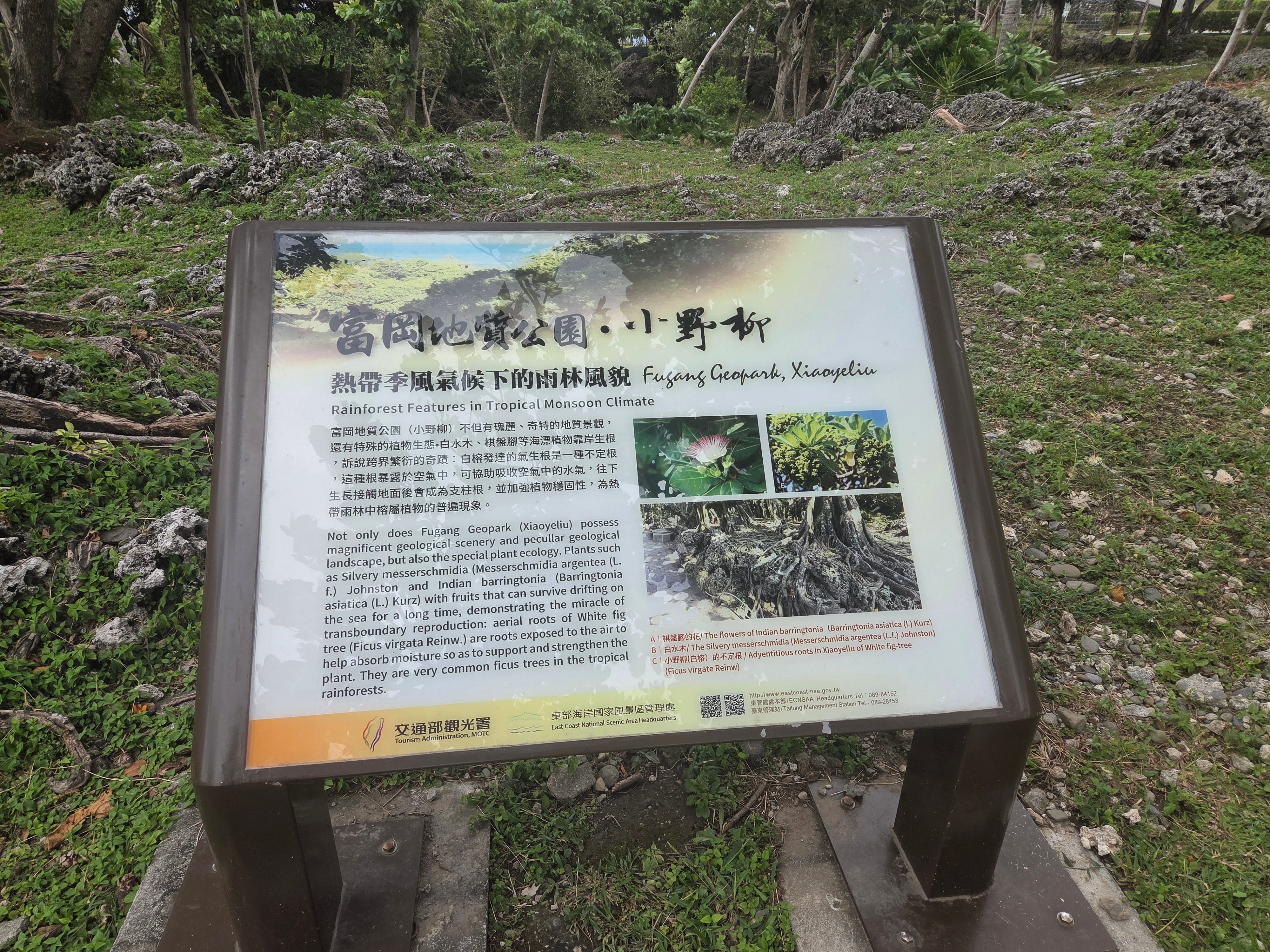
The information panel above describes the plants, while the one below describes a wide variety of different sorts of weathered rocks.
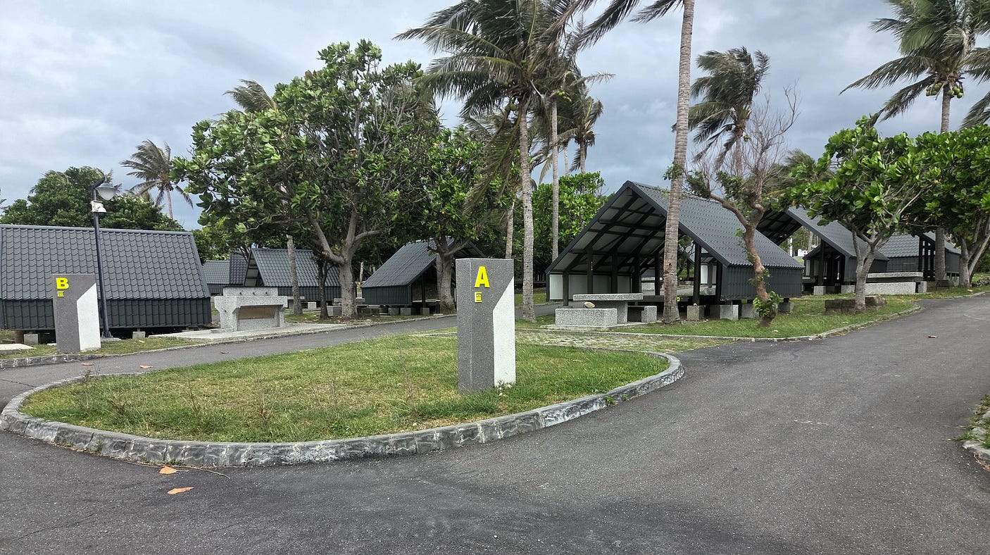
There was also a campground nearby, with concrete benches and tables. It is not as if you always have to stay in hotels or hostels or Airbnb.
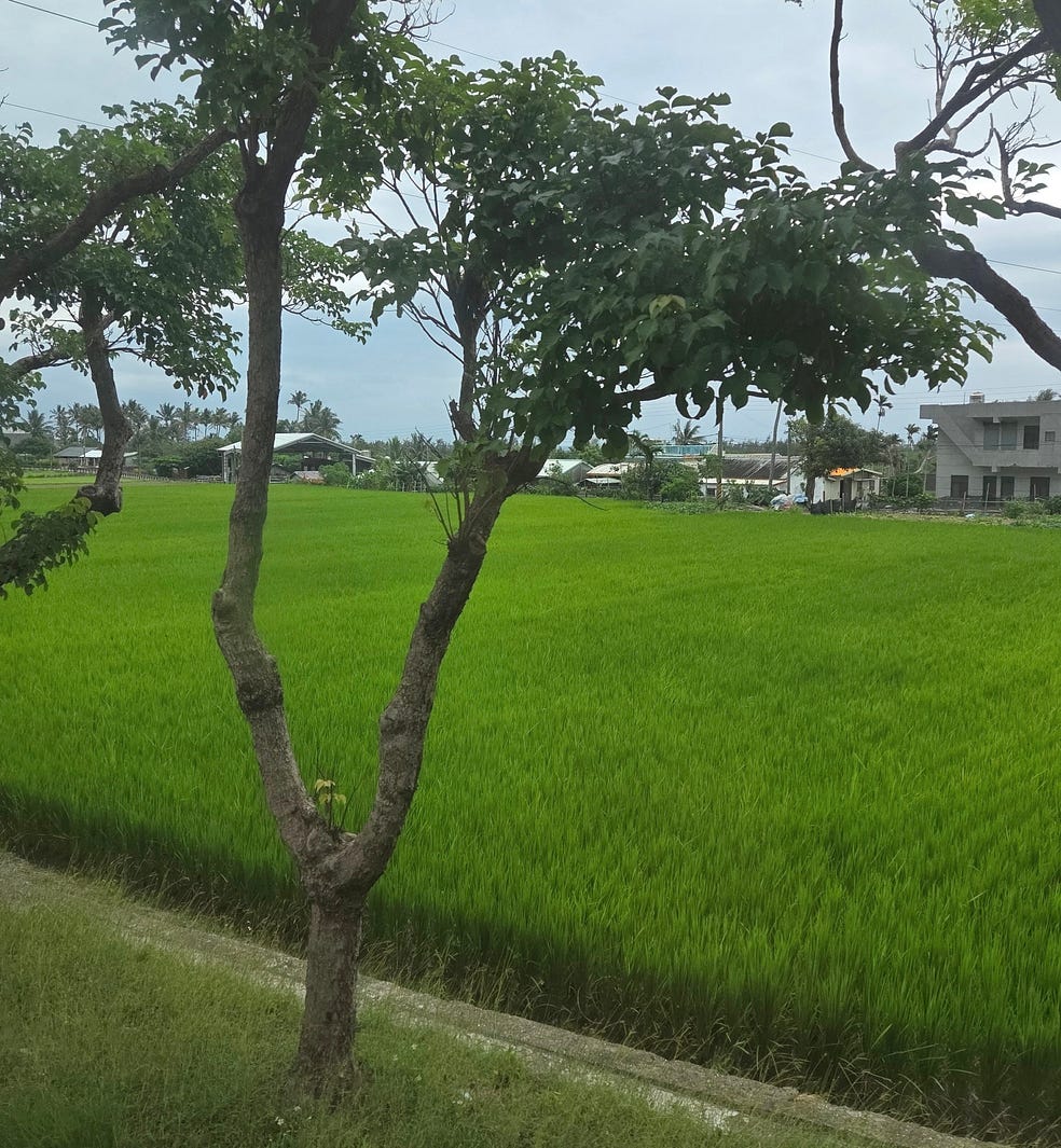
We also saw lush rice paddies.
And the Old Donghe Bridge over the Mawuku River, a rather attractive single-arch structure similar to Auckland’s Grafton Bridge. The Old Donghe Bridge was originally built by the Japanese, and was later bypassed by a new motorway and a new bridge. These days, the old bridge is only open to pedestrians.
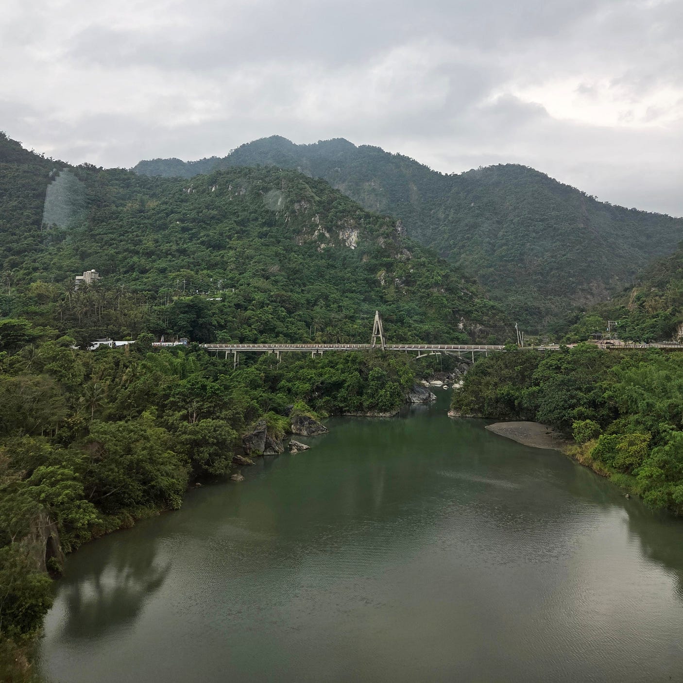
The next place of interest, travelling northward, is a locality called ‘Water Running Upward,’ where, by an optical illusion, water appears to run uphill.
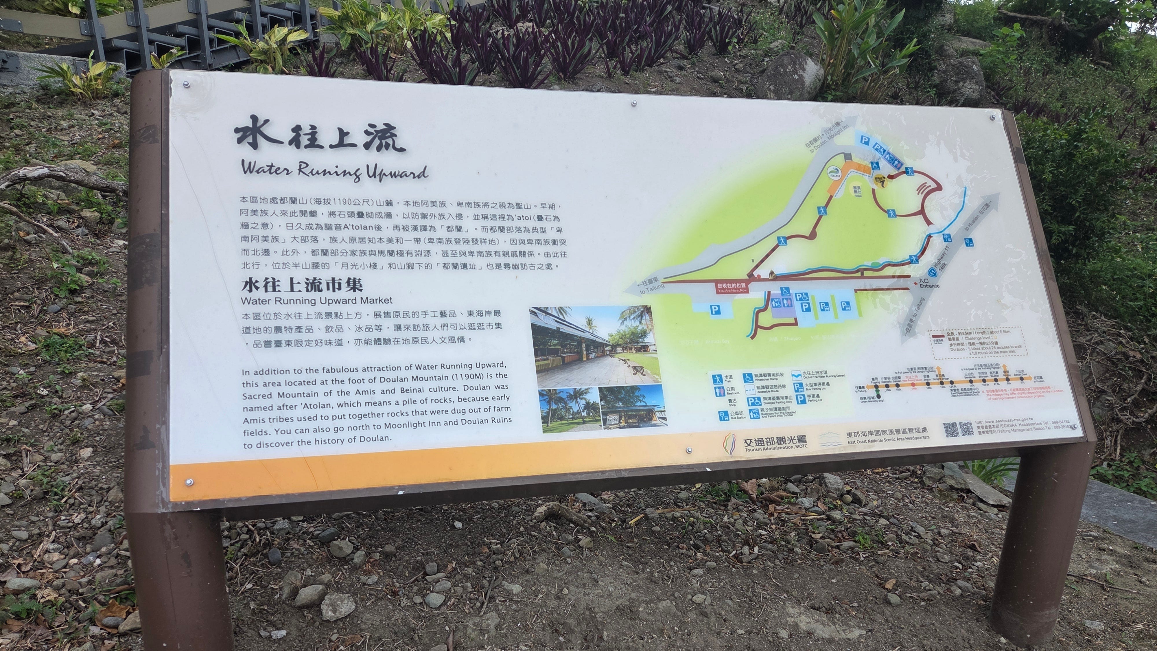
Another information panel described the history of Water Running Upward, stating that it was a traditional irrigation channel of the Doulan Amis, which gradually became a tourist attraction because of the illusion of water appearing to run uphill.
Water Running Upward features in my video of the East Coast, embedded just below.
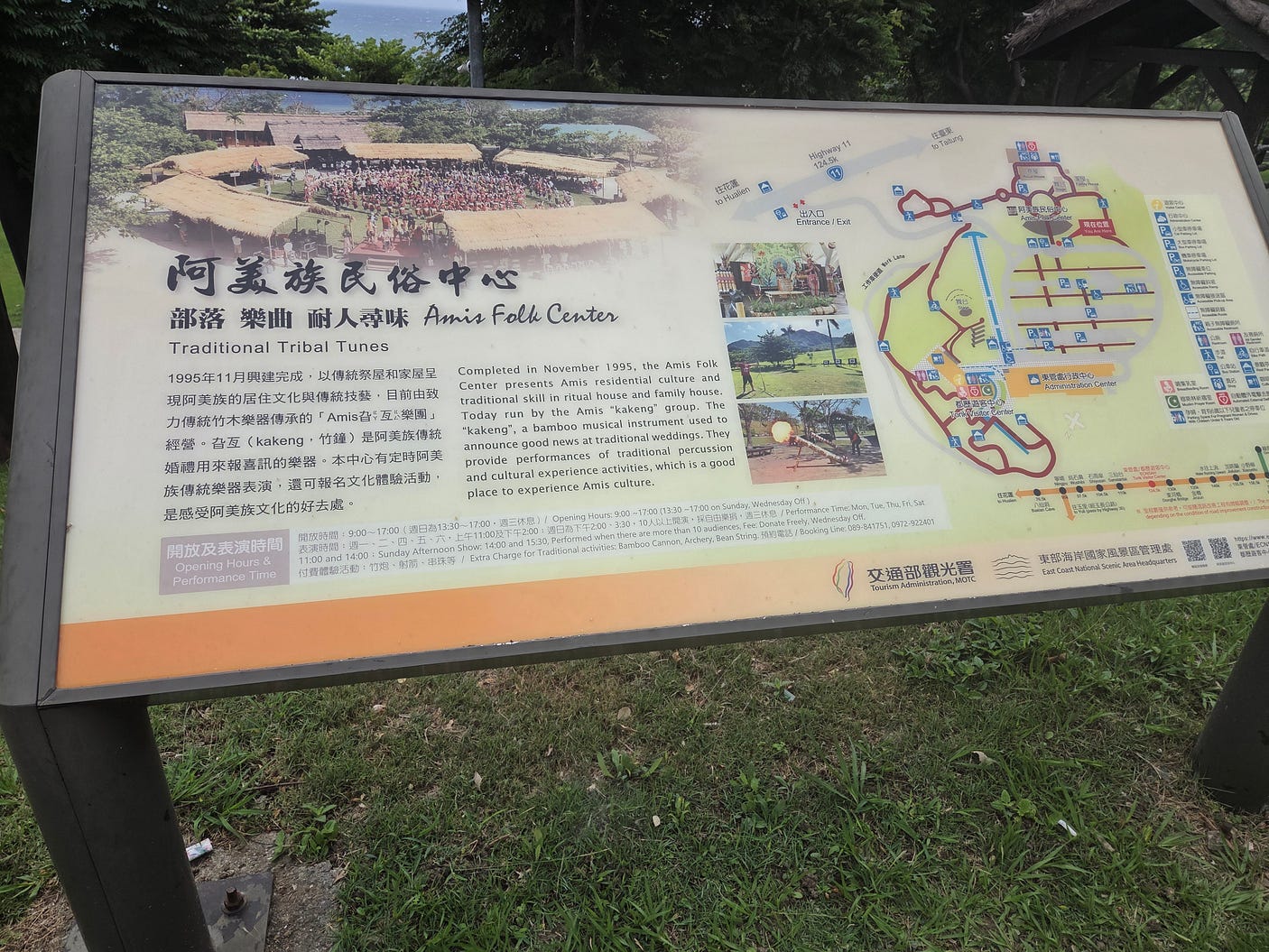
After Water Running Upward, travellers come to the Amis Folk Center, which celebrates the culture of the Amis, the Austronesian group whose country includes Taitung City.
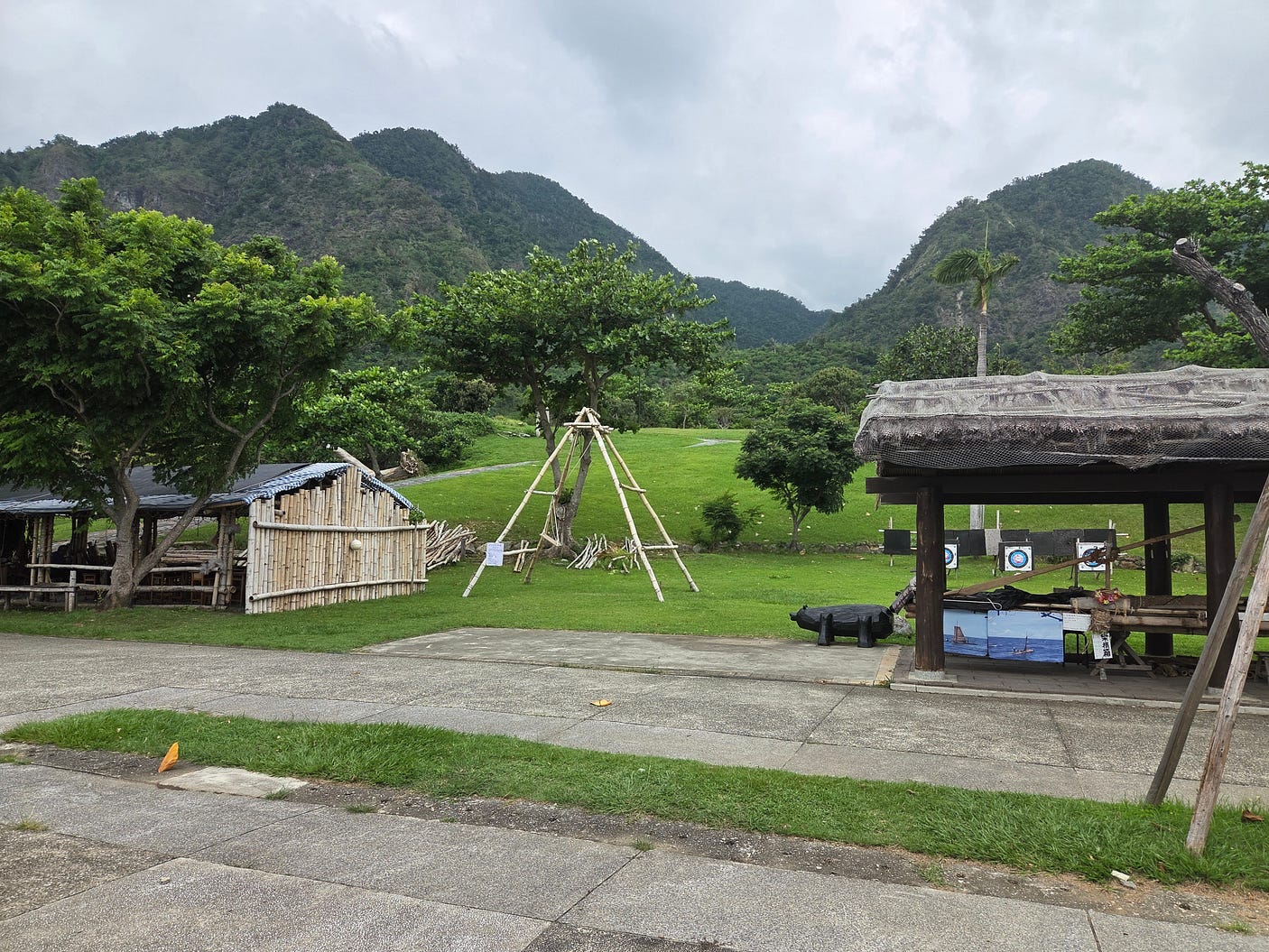
Here is a view of some of the re-created buildings of the Amis Folk Center, against the green mountains that press right down toward the sea in this region.
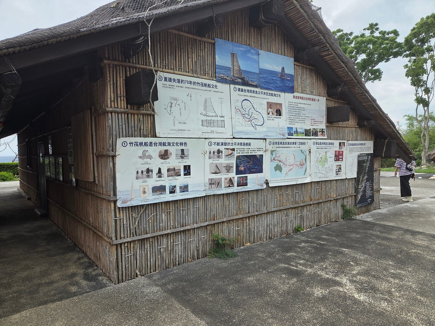
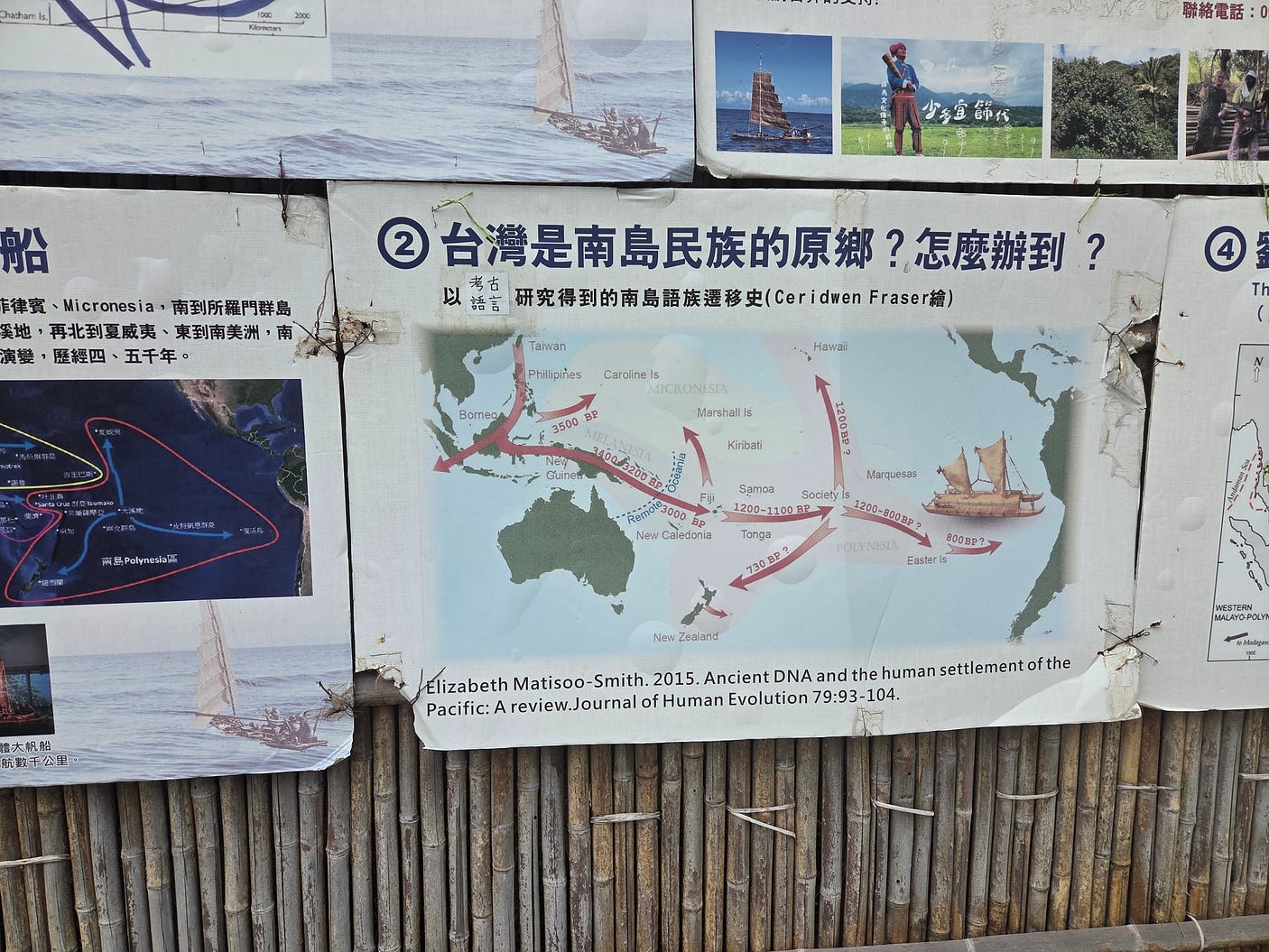
One of the buildings bore information displays about Austronesian seafaring and dispersal.
Here is a close-up that shows how the Austronesians dispersed by way of the Philippines and Borneo.
I made a video at the Amis Folk Centre, including some scenes of a riveting performance by the Amis Kakeng Musical Group. The Kakeng is a bell made from bamboo, used to announce impending marriage, and so the name symbolises the spreading of good news.
(The Amis Kakeng Musical Group has produced several albums and EPs that you can purchase on Apple Music, and presumably on other outlets as well.)
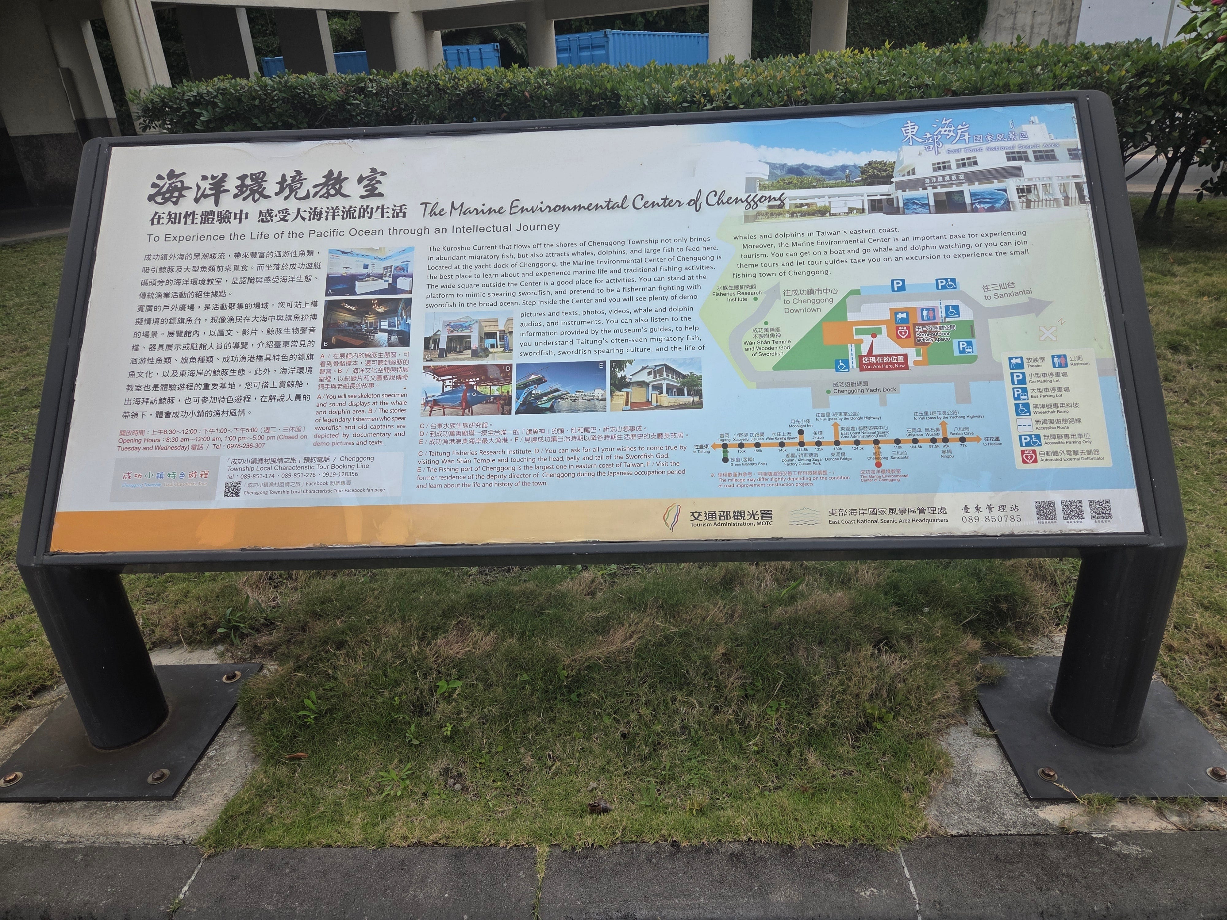
And then to Chenggong, the site of a Marine Environmental Centre. The following information panel describes the centre, and the warm, Gulf Stream-like Kuroshio Current that bathes the East Coast of Taiwan, the Ryūkyū islands and the main islands of Japan.
Chenggong is also where the last known Japanese soldier to surrender after World War II, Teruo Nakamura, who finally gave up in 1974, came from. Despite his army name, Nakamura was actually an indigenous Taiwanese, presumably Amis, born Attun Palalin.
After Chenggong, our bus pulled into Sanxiantai with its eight-arch bridge, a number that is auspicious in Chinese culture.
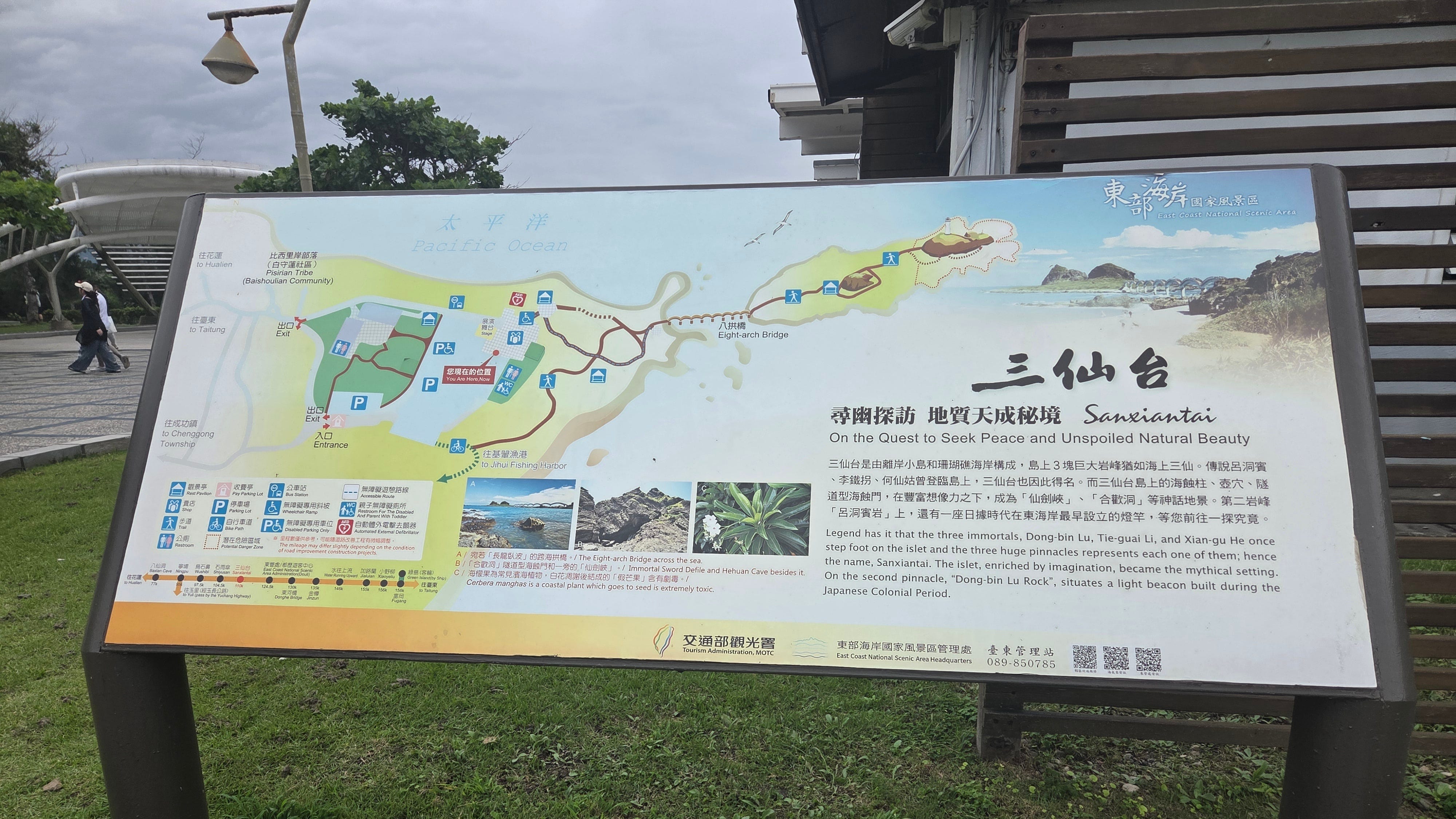
Here are some photos that I took at Sanxiantai.
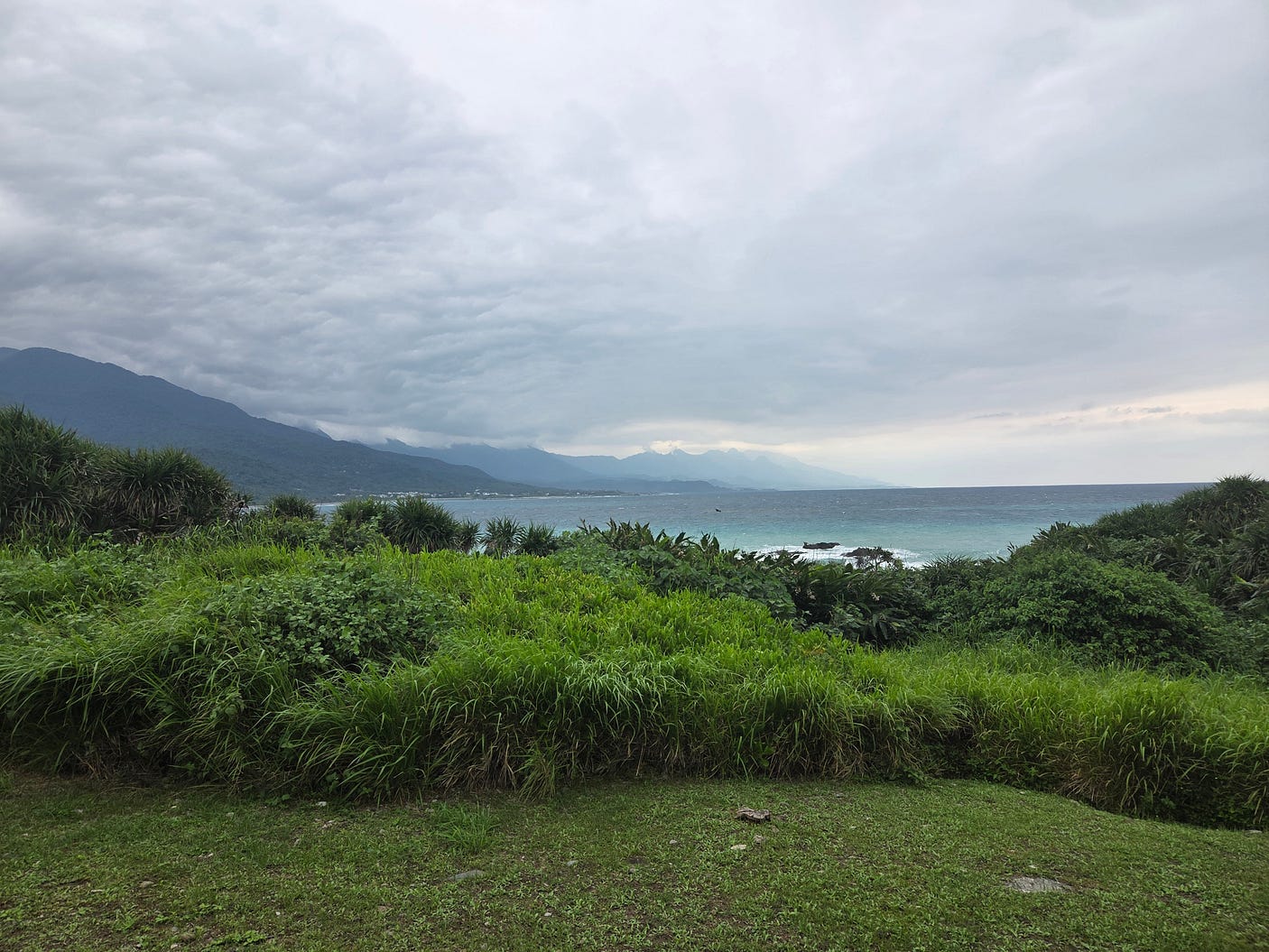
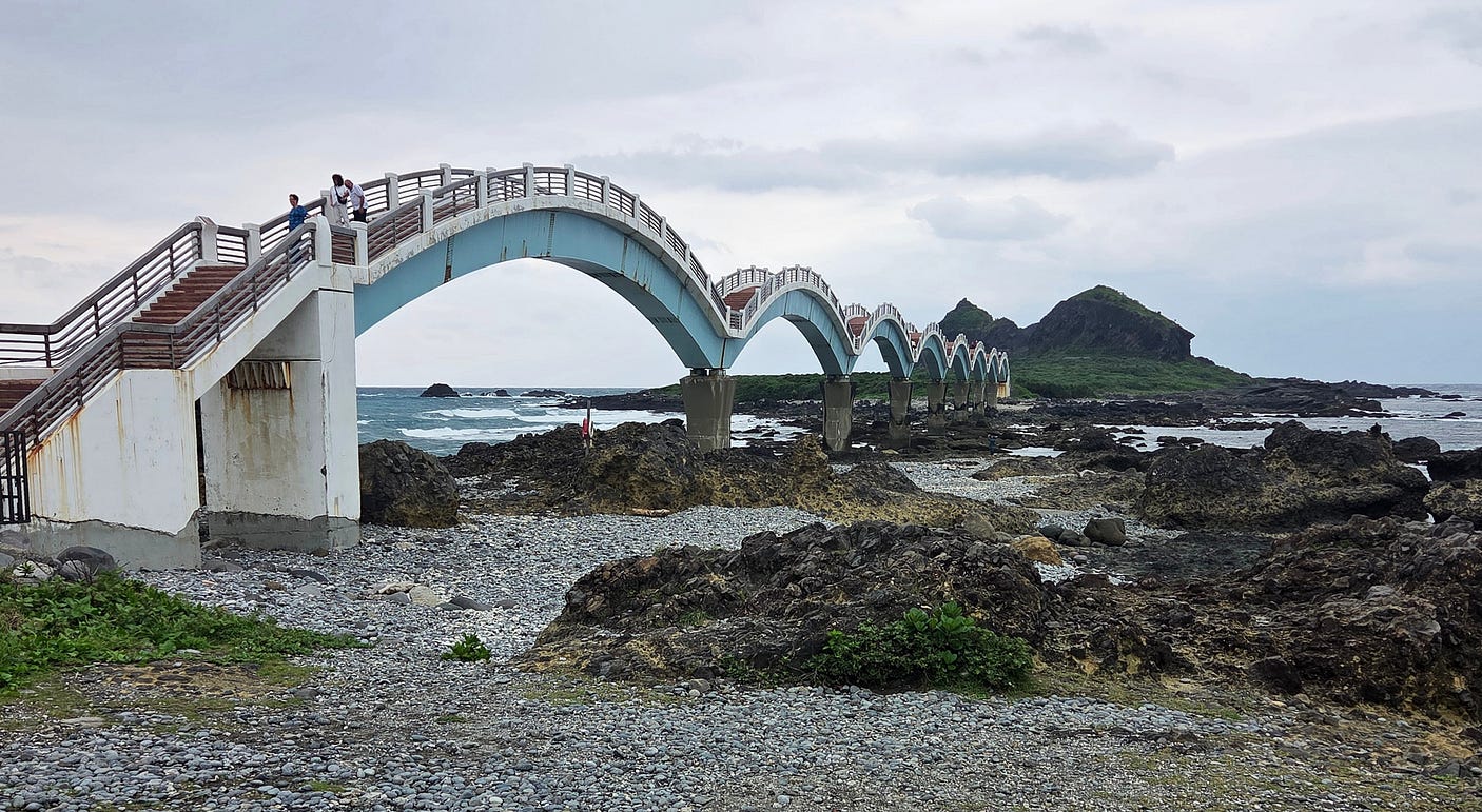
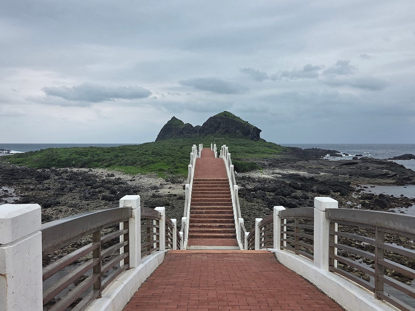
Here’s a video I made of the landscape at the Amis Folk Center, the Sanxiantai Arch Bridge, and Water Running Upward.
After I returned to Taitung, I caught a train back to Taichung on the west coast, and, from there, a bus to Sun Moon Lake, which I will be blogging about next week.
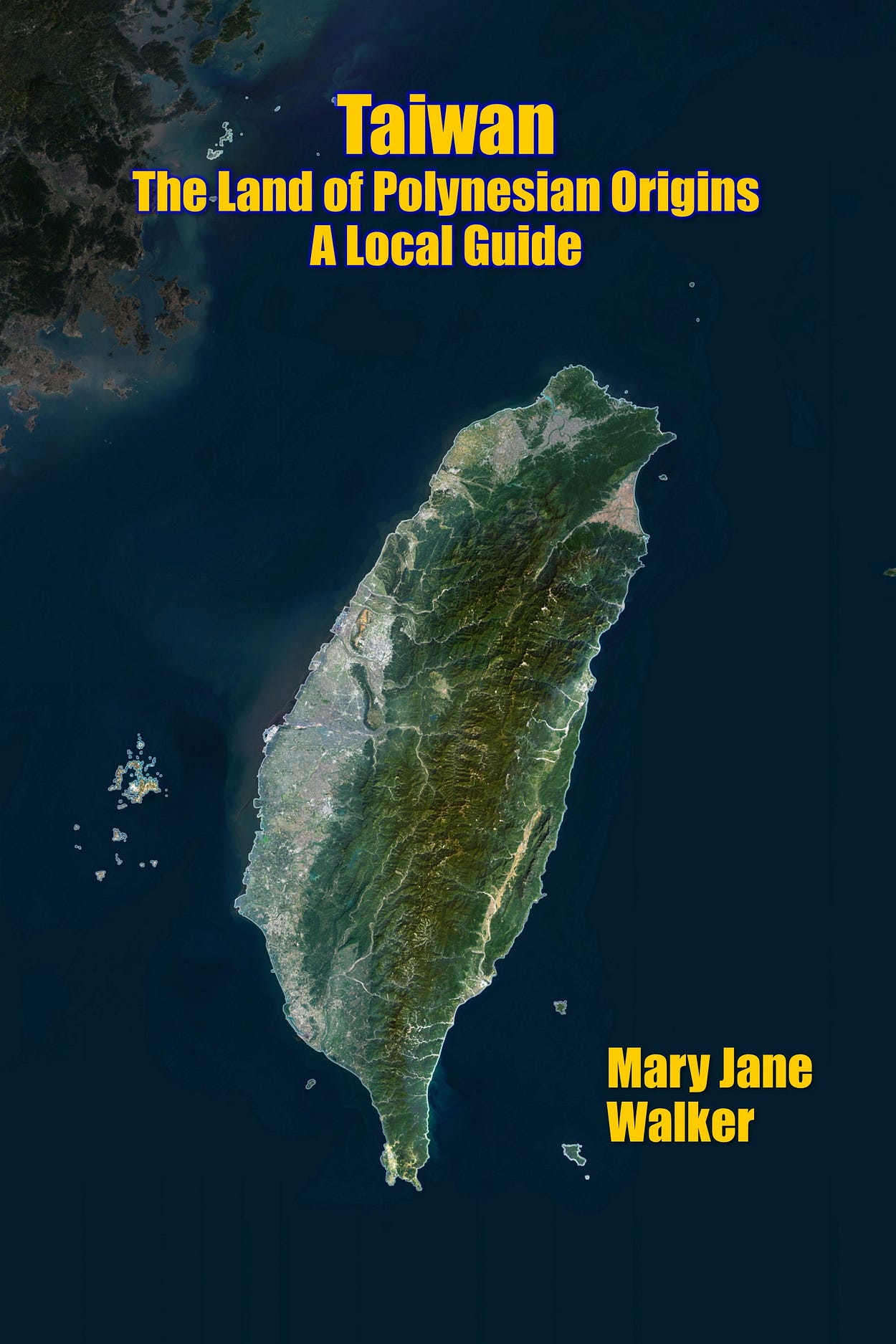
PS: Since this post was published, I’ve written a book about Taiwan — you can purchase it on geni.us/Taiwan.
Subscribe to our mailing list to receive free giveaways!

