Giveaways
FROM Delhi, I flew to Leh, the capital of Ladakh: a mountainous district bordering Tibet, in the eastern part of Indian-controlled Kashmir.

Like Nepal, the Indian-controlled part of Kashmir is divided into distinct upland and lowland regions, the uplands resembling Tibet in language, culture, and religion, while the lowlands are more like neighbouring parts of India.
The city of Srinagar, which I visited on an earlier trip, lies in the Kashmir Valley, at an altitude of around 1,585 metres (5,200 feet) above sea level (ASL). This puts it in the lowlands, at least by local standards.
Ladakh stands above the Kashmir Valley, at the western end of the Himalayas. There are 25 named mountain peaks over 7,000 metres ASL in Ladakh alone.
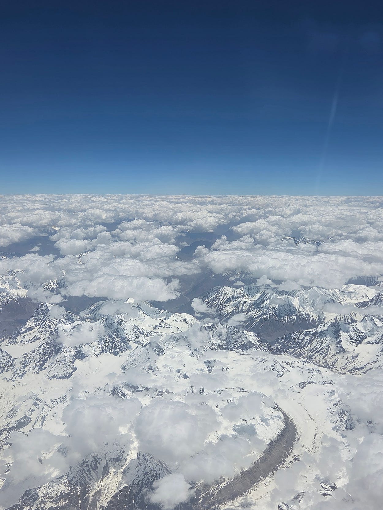
I took some photos and videos out the window of the plane. In this one, you can see a curving glacier. It was June, the start of summer, but the mountains were still covered in snow.
Leh, the gateway to those mountains, stands at over 3,500 metres (11,500 feet) ASL. In fact, Leh’s airport, Kushok Bakula Rinpoche Airport, is around 700 metres, or 2,000 feet, higher than Lukla Airport in Nepal, the gateway to Everest.
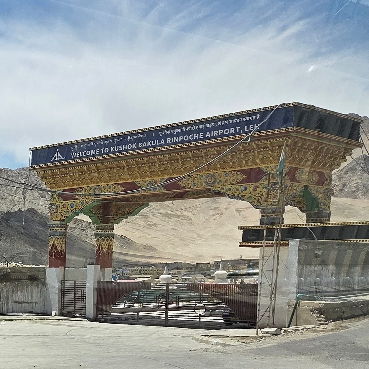
Even today, it is hard to get to Leh by road for much of the year, so the airport is a vital year-round lifeline. In the old days, Leh must have been very remote and exotic: much like the sorts of places that inspired the fictitious Shangri-La.
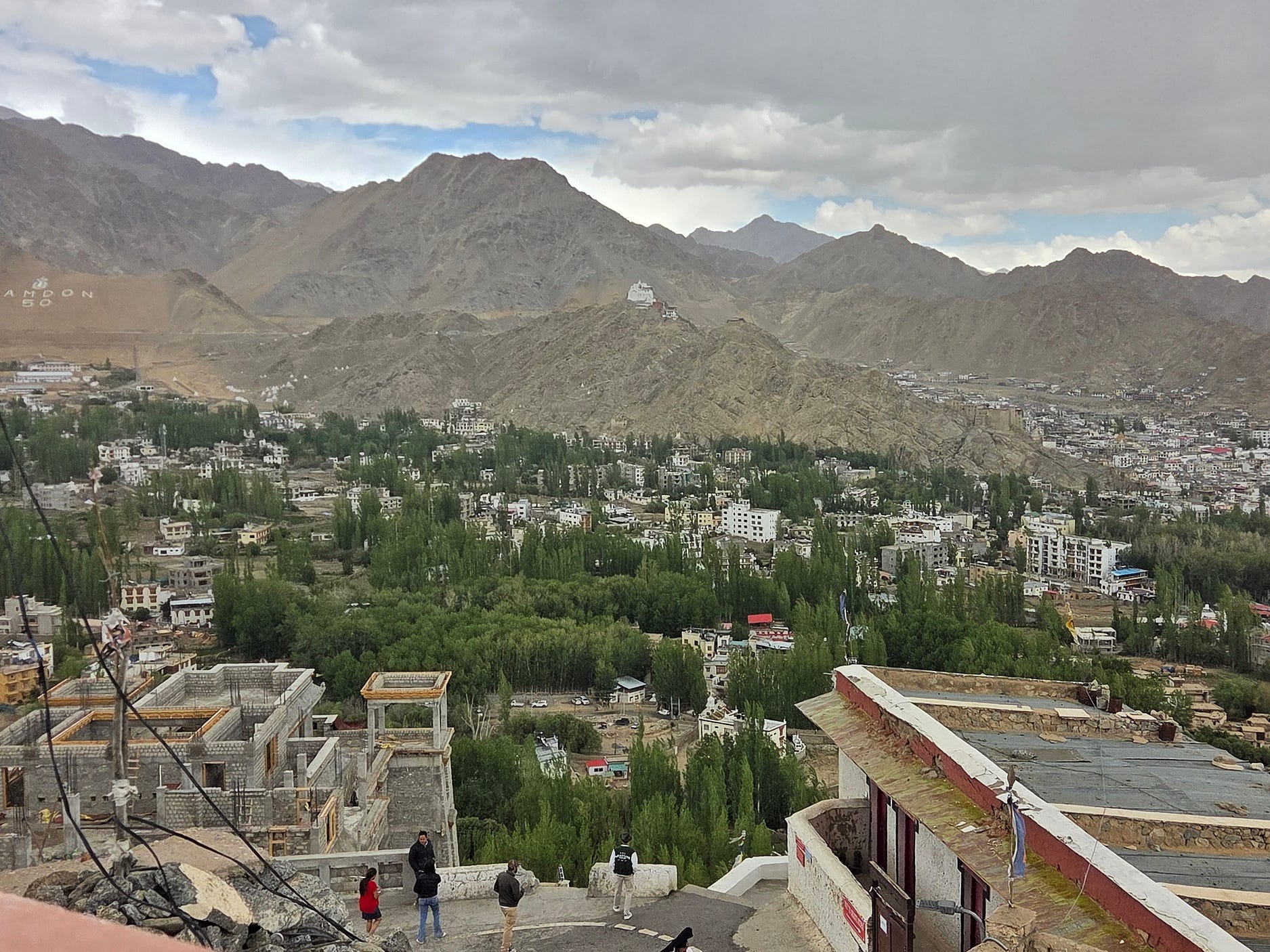
Like Tibet, Ladakh is also a semi-desert. The local rivers and streams are mostly fed by melting snow from high mountains. So, trees, crops, and other forms of greenery tend to be confined to the bottoms of each local valley. You can see all that in the following photograph of Leh, which is in the valley of mostly glacier- and snow-fed Indus River, the great river that ultimately irrigates Pakistan.
Leh is on roughly the same northern latitude as our Cape Reinga is southern: namely a bit over 34 degrees from the equator in both cases.
It’s incredible to think that if Leh were in the vicinity of Cape Reinga, it would be 2,000 metres above the tree line, despite the similarities of latitude. There would be nothing but rocks and ice.
‘Continental heating,’ whereby the air above Ladakh is warmed by the land around it in the sun, and is not blown away and replaced by cold air from the sea, explains the difference, at least in summer. By the same token, the winters are harsher than in New Zealand.
As in Nepal, the uplands of Kashmir also tend to be like Tibet in language, culture, and religion, whereas the Kashmir Valley, like lowland Nepal, is Indian in character.
The Kushok Bakula Rinpoche, after whom Leh’s airport is named, is the head of the Spituk Monastery, one of several Tibetan Buddhist monasteries near Leh. At present, the Spituk Monastery is headed by its twentieth Kushok Bakula Rinpoche, who, like the Dalai Lama, is believed to be a reincarnation of his predecessors.
I decided to do a ten-day hiking tour of Ladakh, up the nearby Markha, Zanskar, and Nubra Valleys with a firm called Yato Tour, which also organised my permits to enter the valleys outside the city.
These permits are needed because of mountain hazards, and also because Ladakh is close to Kashmir’s disputed borders with China and Pakistan, along which skirmishes are occasionally fought in such places as the Siachen Glacier, to which one of the valleys I was going to be hiking in, the Nubra Valley, leads directly.
In Leh, I stayed at the Tsetan Guesthouse, which is very well regarded and where I had my own ensuite bathroom. There were two dining rooms. They also had a retreat where they performed Buddhist ceremonies and held gatherings. The meals were mainly vegetarian, with produce from their own gardens.
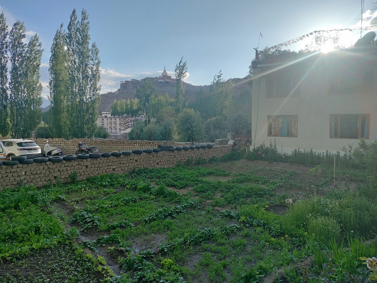
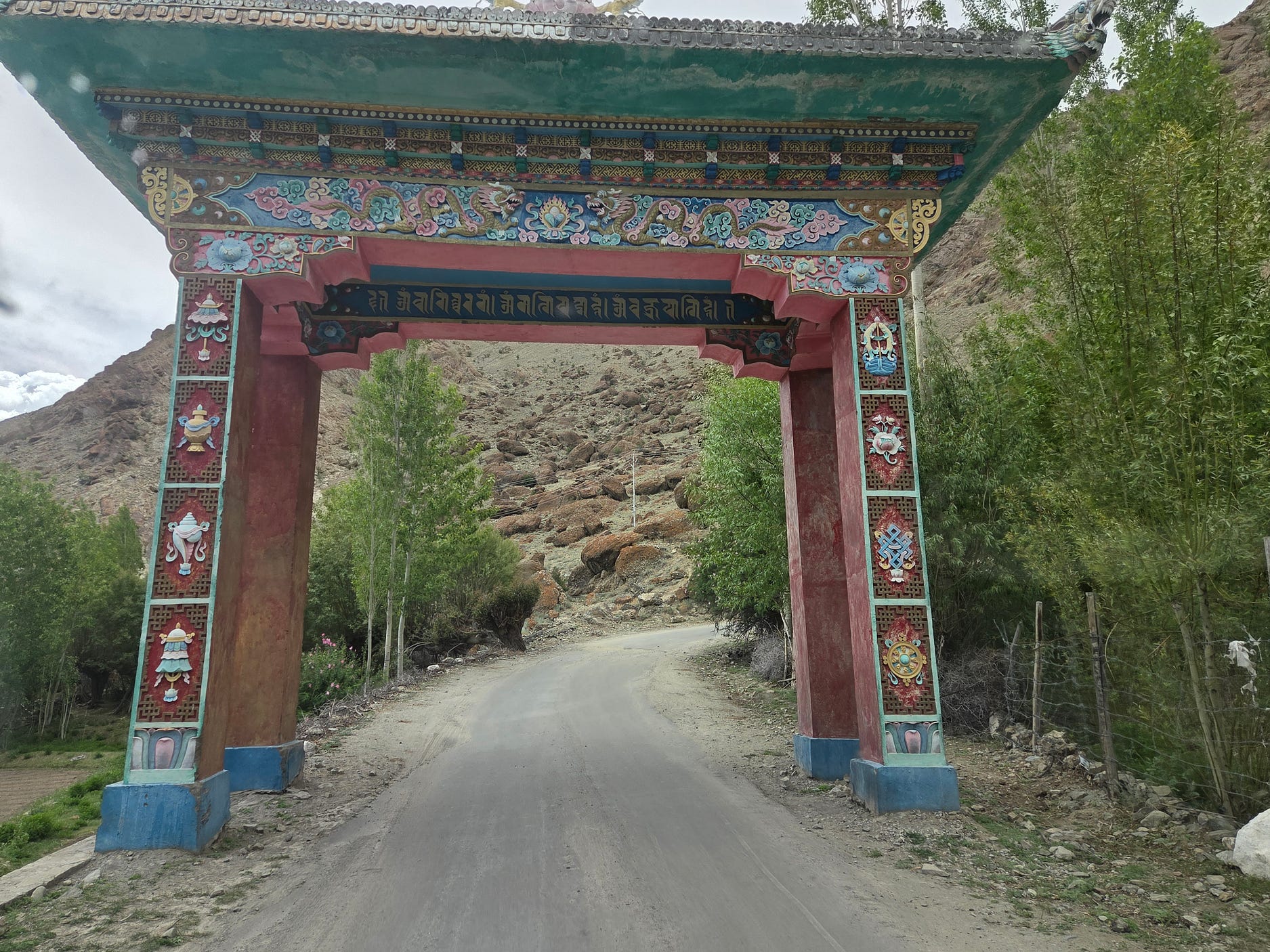
Here are some more photos of Leh:
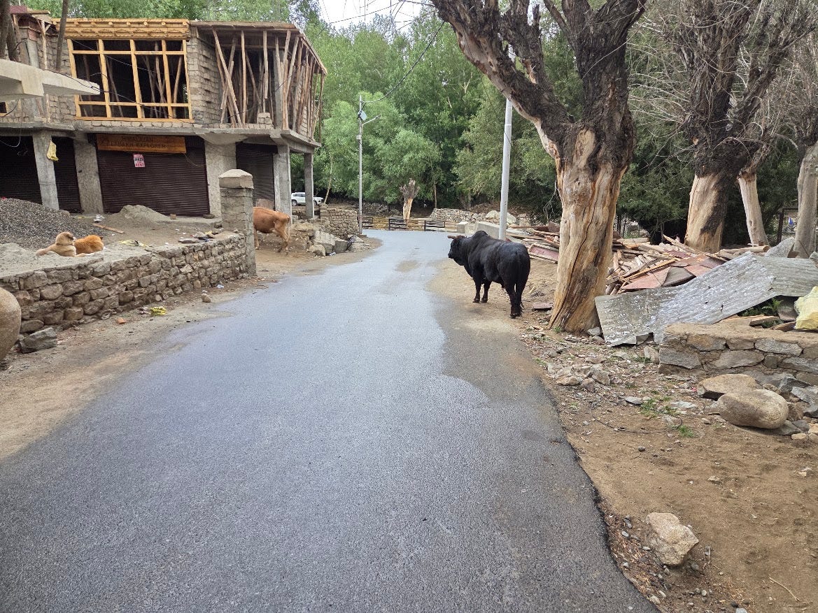
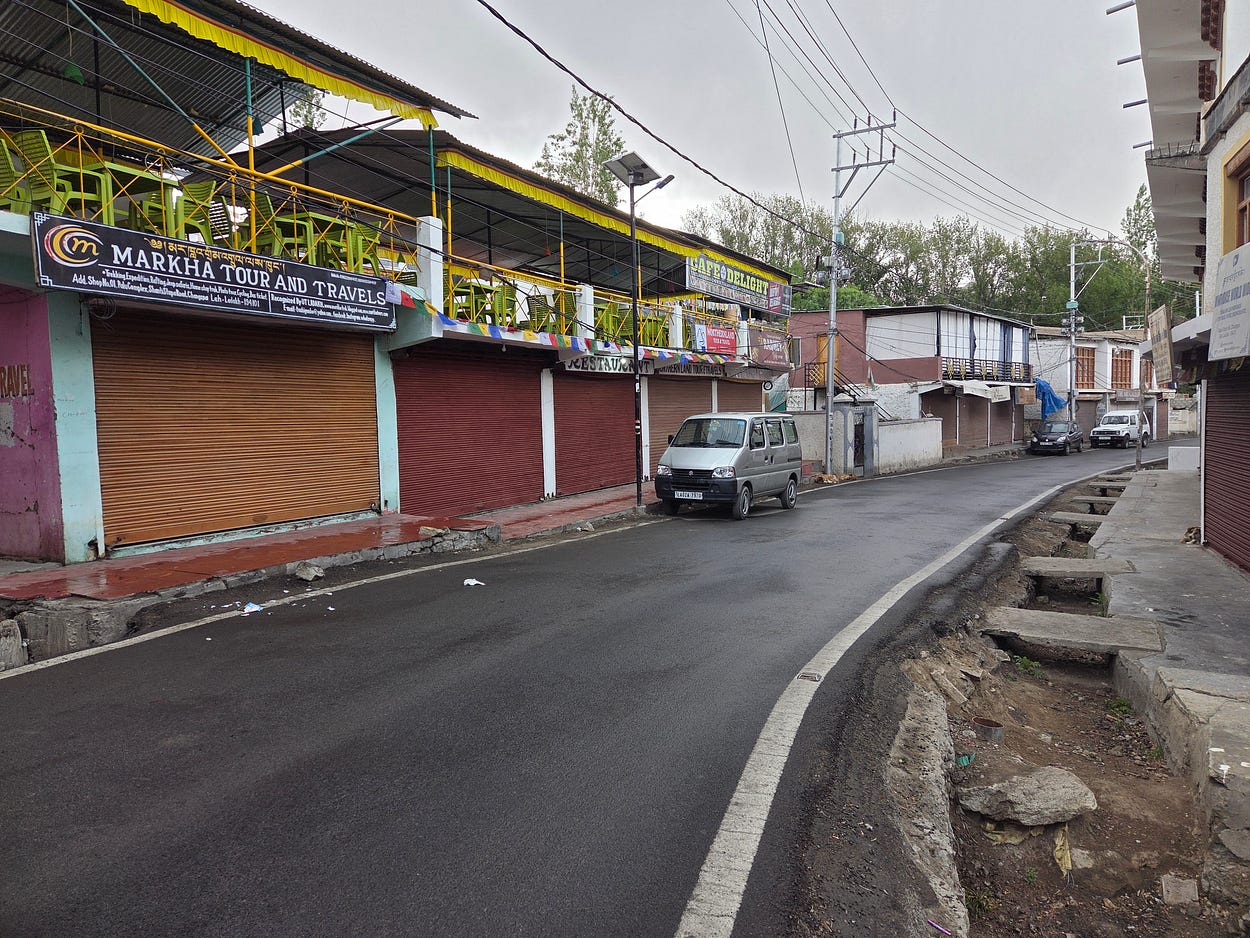
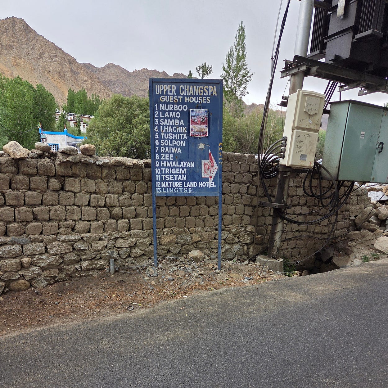

I was pretty dizzy from the altitude at first, and had to spend a little while in Leh to acclimatise before going on any actual hikes.
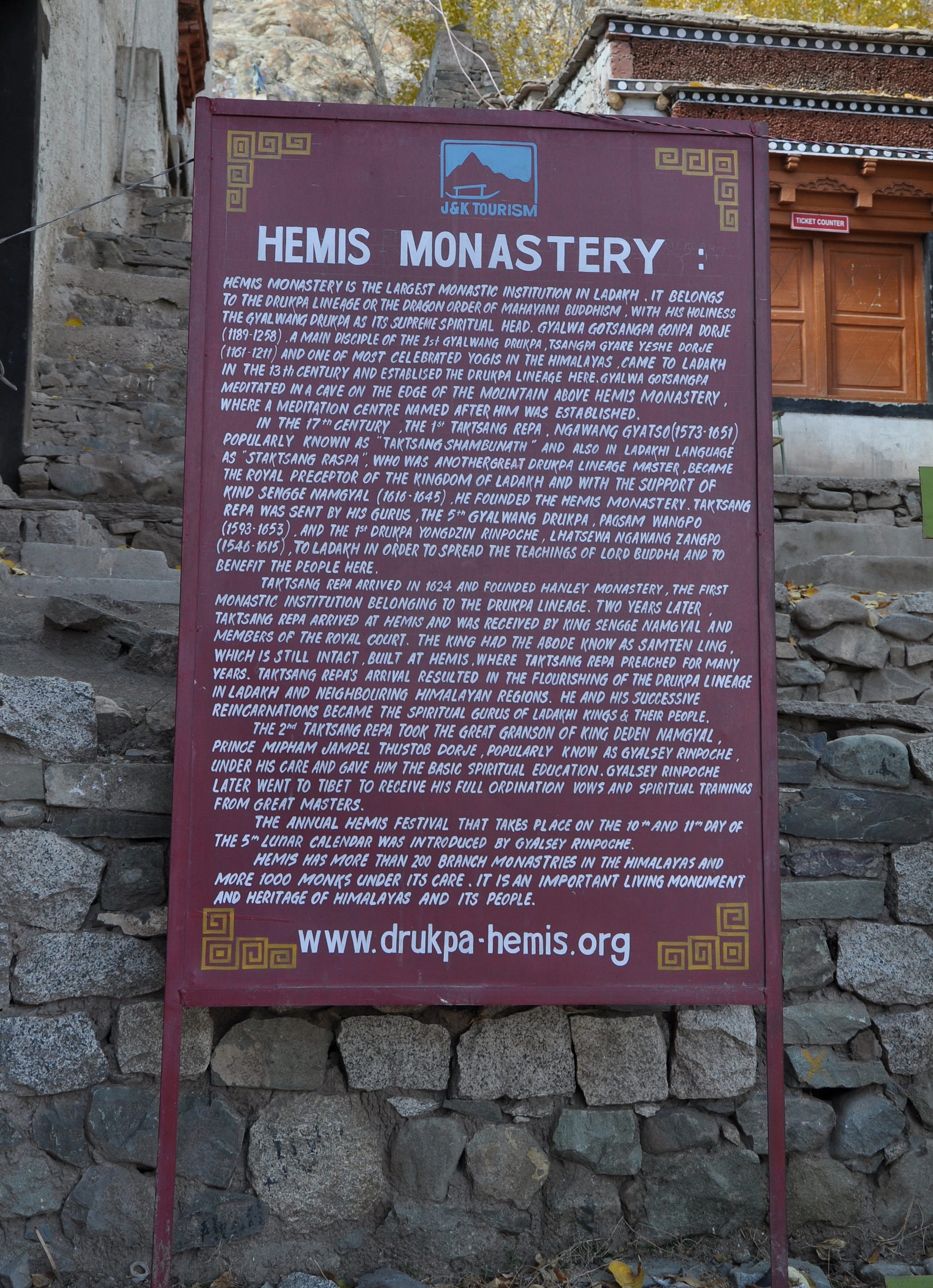
So, Yato Tour began the hiking trip by taking our group on a tour of the Buddhist monasteries near Leh. The first one was the Hemis Monastery, the largest and wealthiest in Ladakh. The current structure dates to the 17th century, but there has been a monastery on the site for perhaps a thousand years or more.
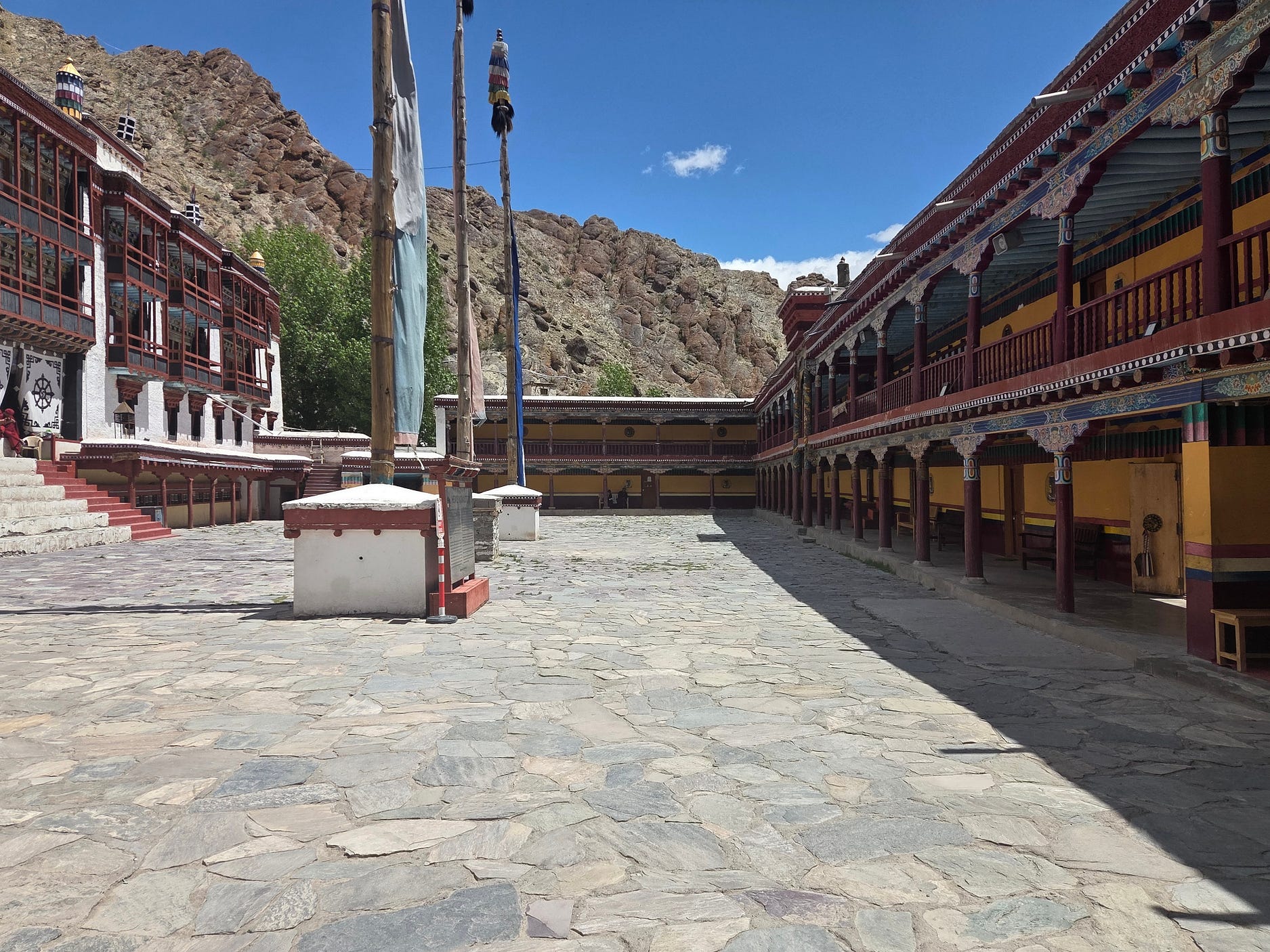
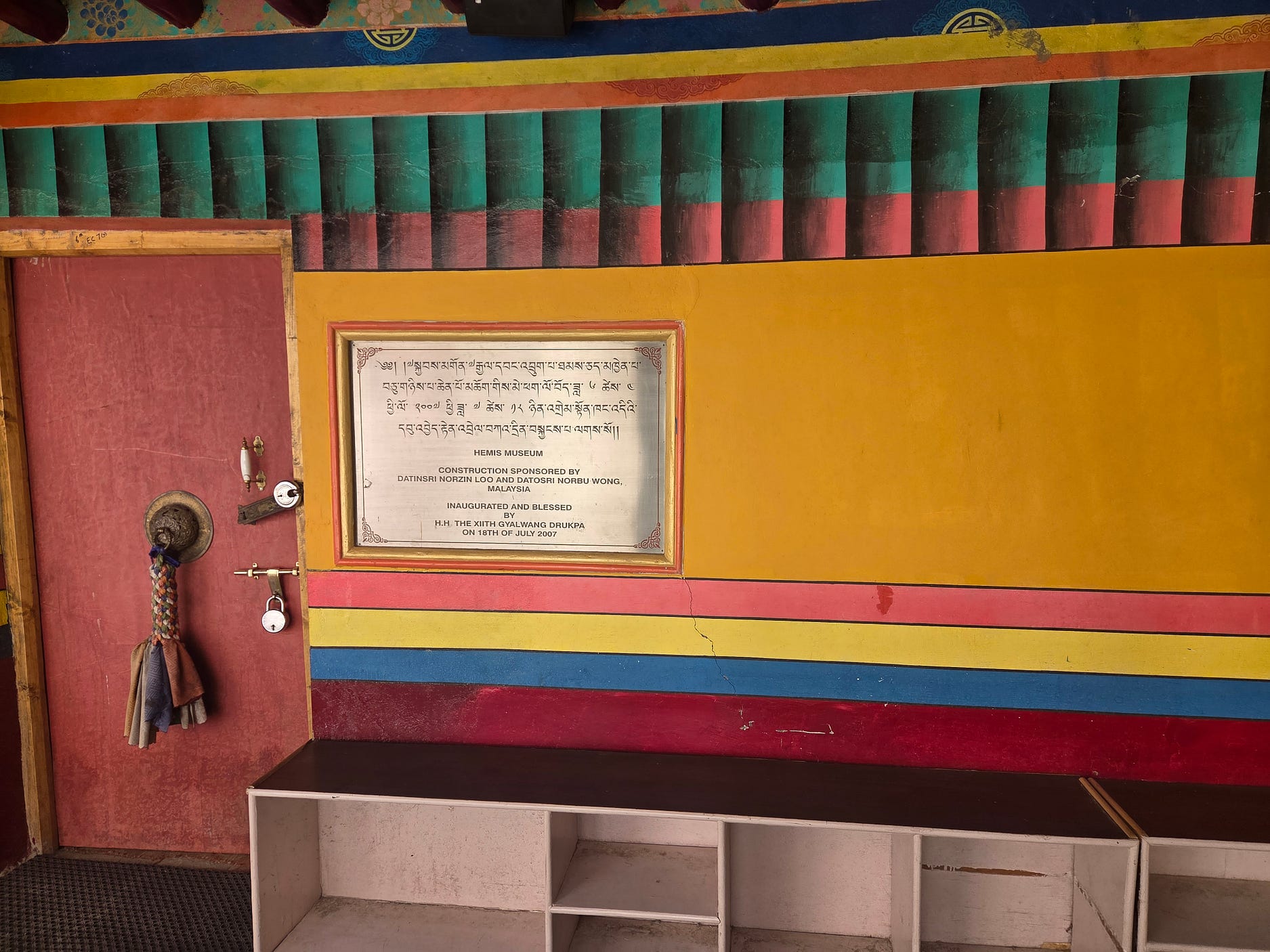
I photographed the following information panel, but it didn’t come out very sharp, so here’s a photo of the same panel from Wikimedia Commons. The website at the end now seems to be defunct.
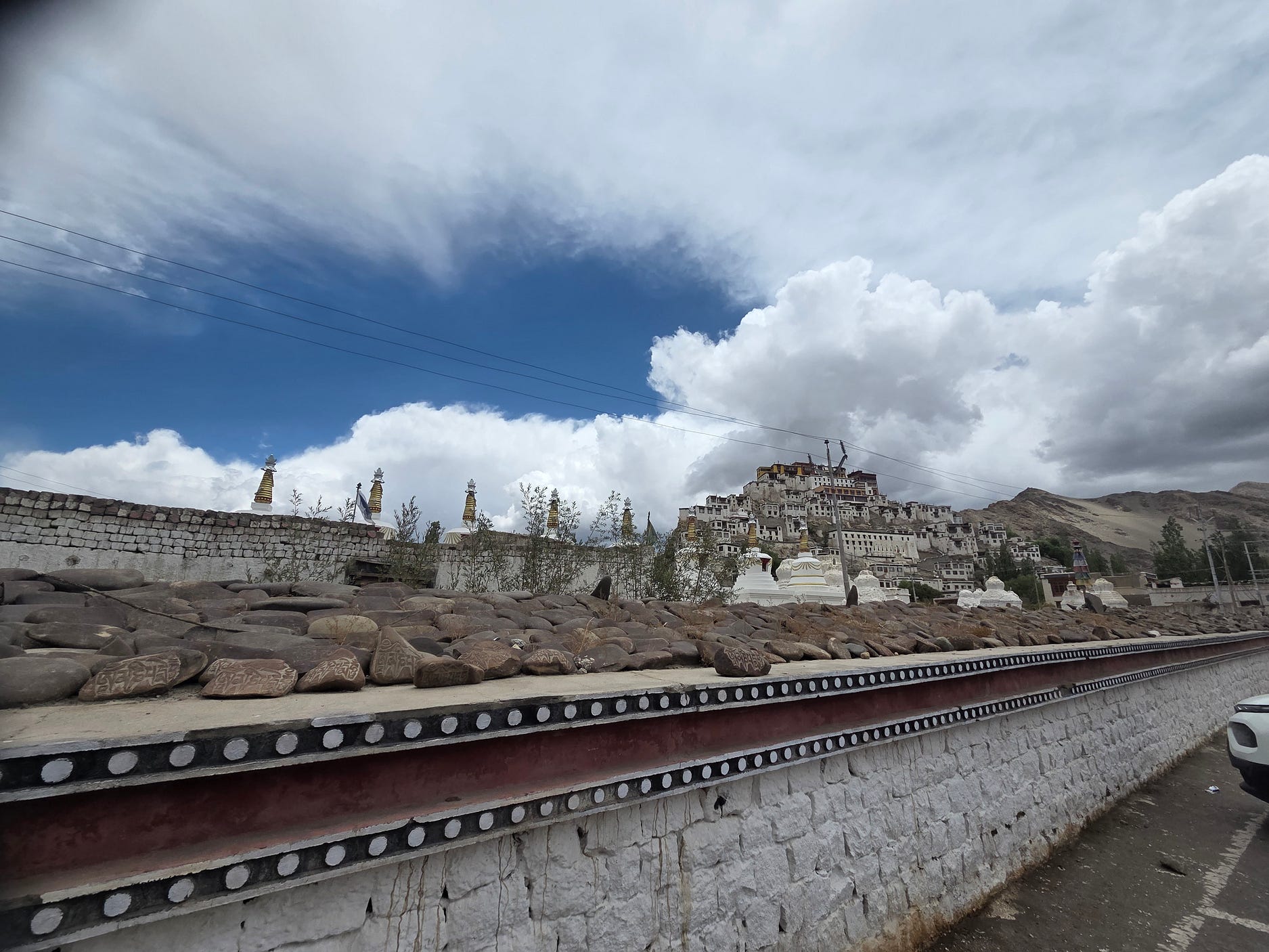
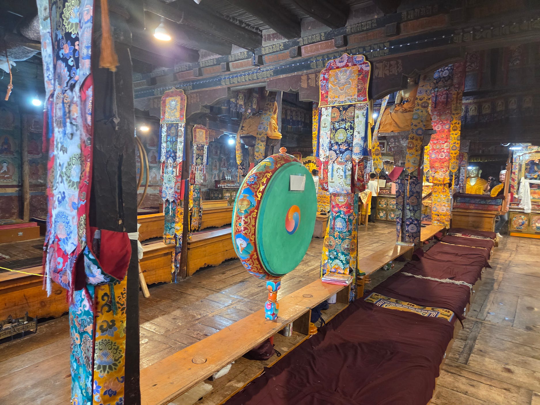
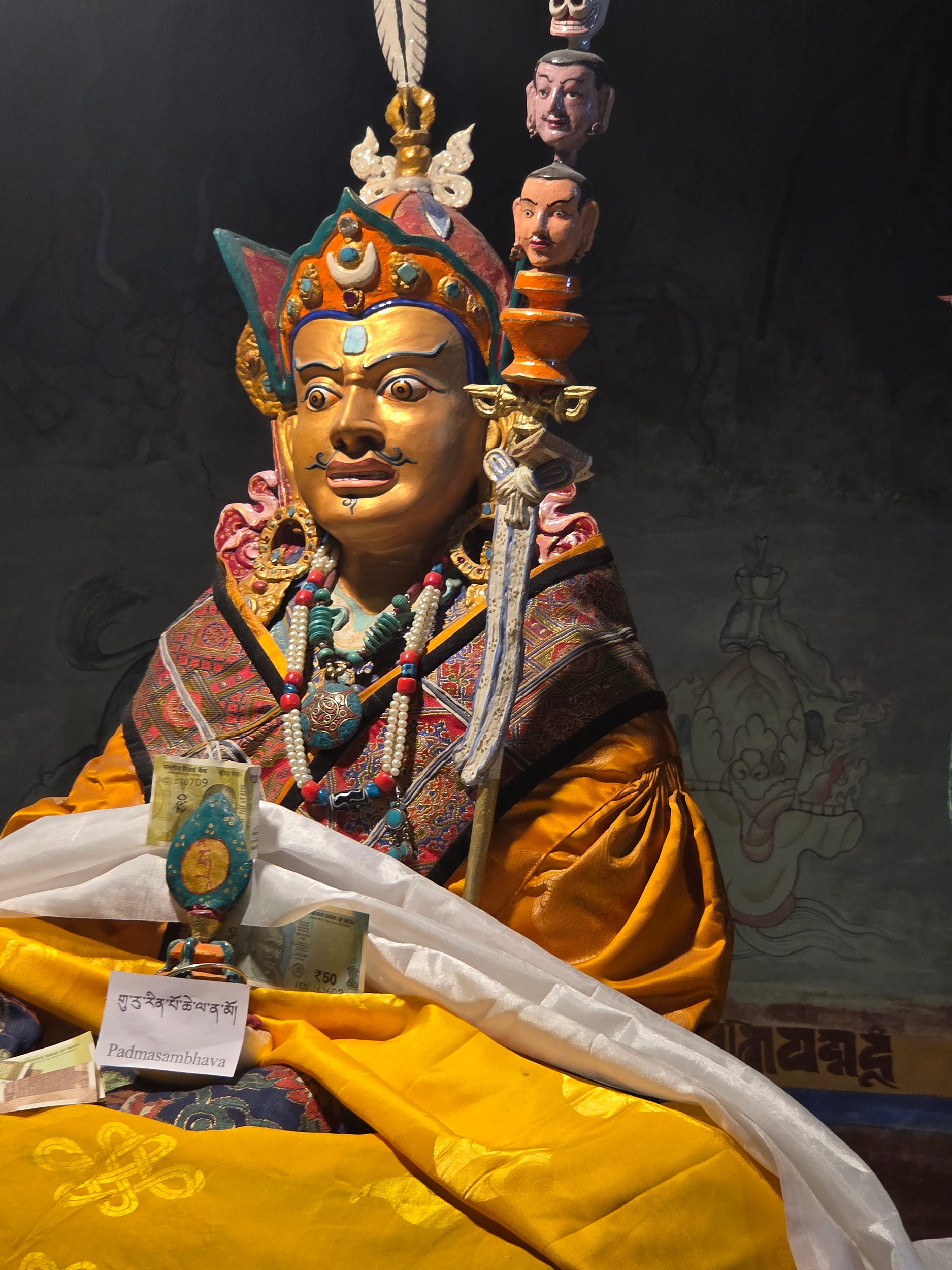
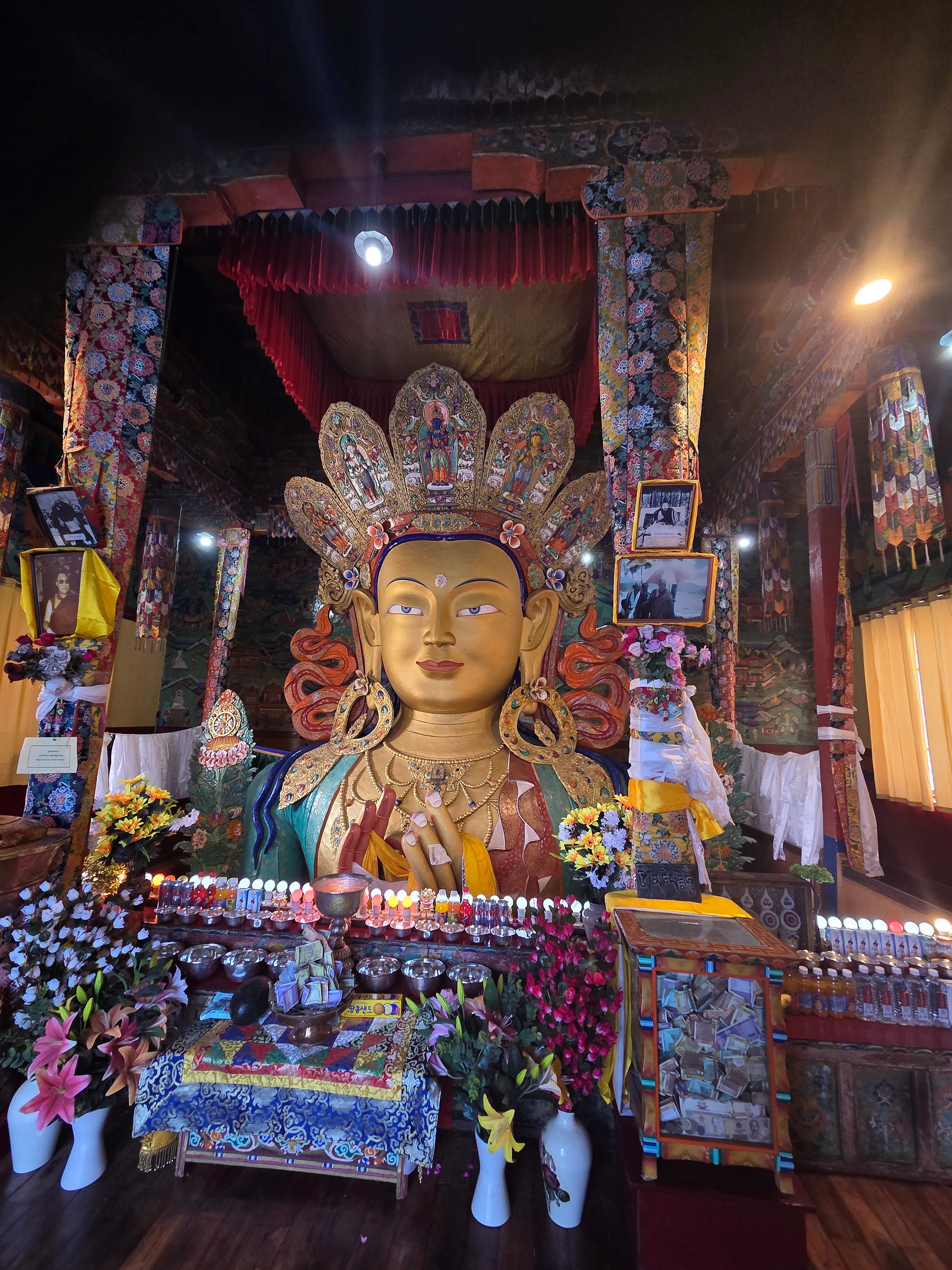
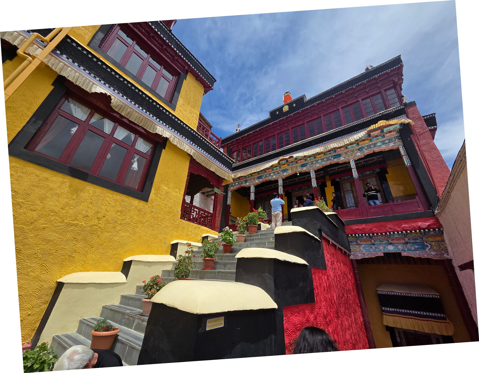
The next site we visited was Thiksey Monastery, from which I have included a greater number of photos in this post because there seemed to be more strange and beautiful things to memorialise. A visitor who came here in 1933 seems to have agreed:
Then there is Tikse, wonderful Tikse, with its gompa, perhaps the most picturesque and beautiful in all Ladakh, whose hundred buildings descend in steps from the top of a great ridge of rock right down to the plain below, which bristles with a forest of chorten.
Thus wrote the Italian traveller Giotto Dainelli in 1933, at a time when Leh was still remote and inaccessible. Gompa is the Tibetan word for monastery or temple, and chorten are small, stupa-like memorials or shrines. Here’s a photo of Thiksey that I took from the road, in which you can see the “hundred buildings” and some of the chorten.
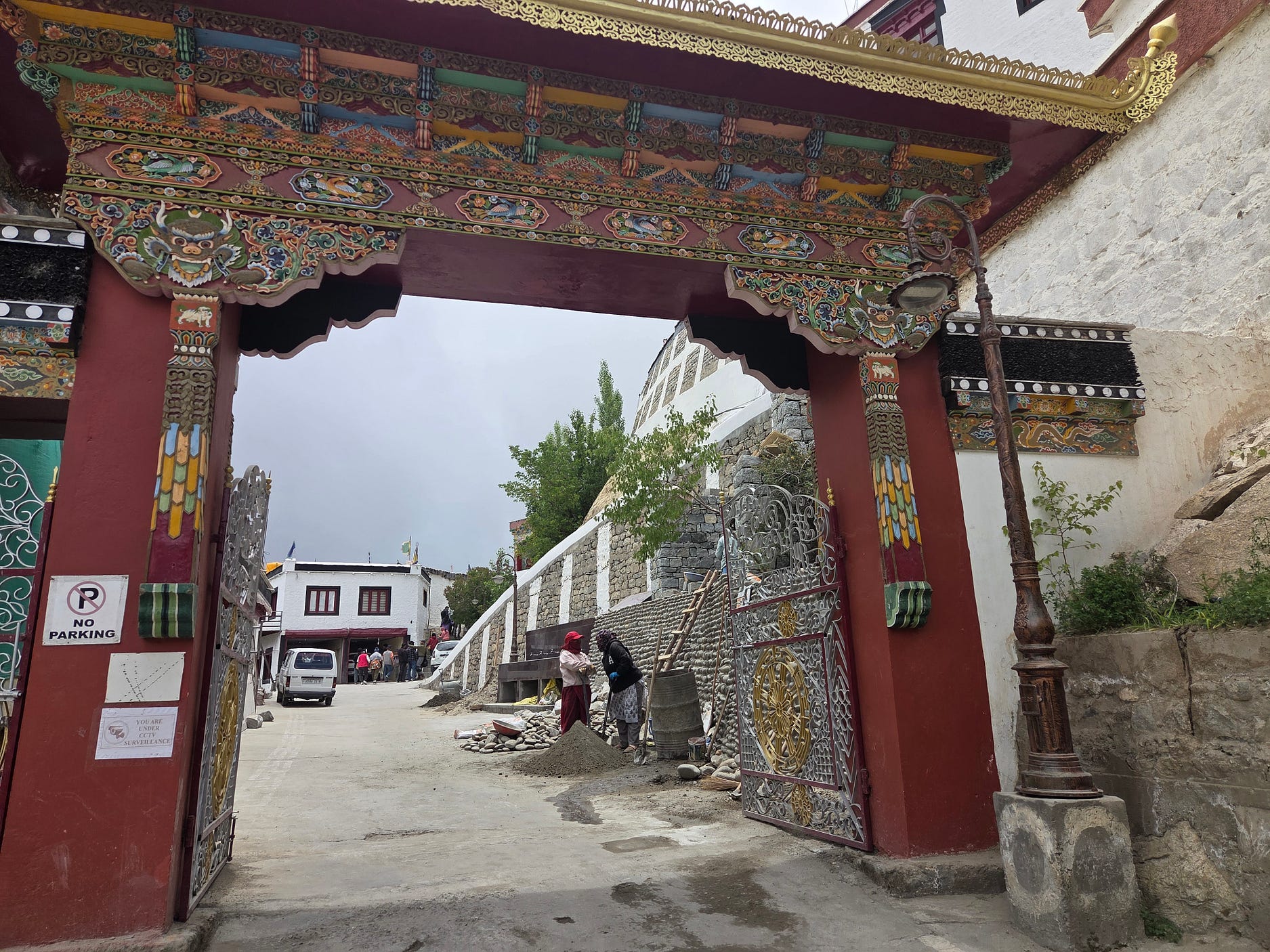

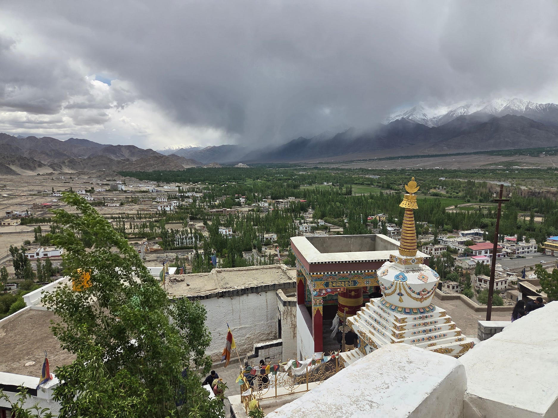
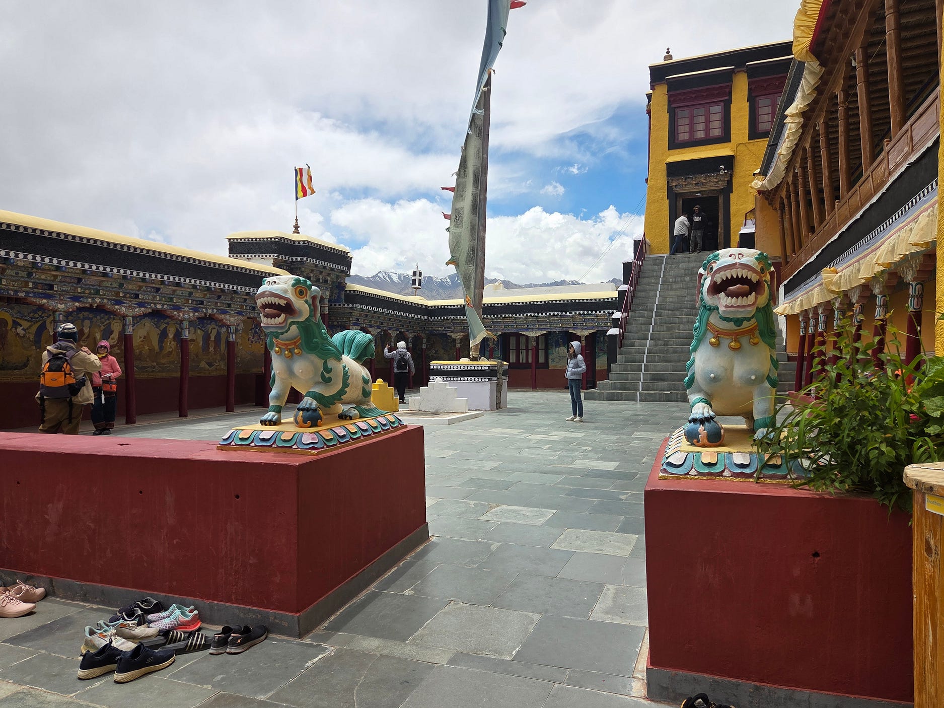
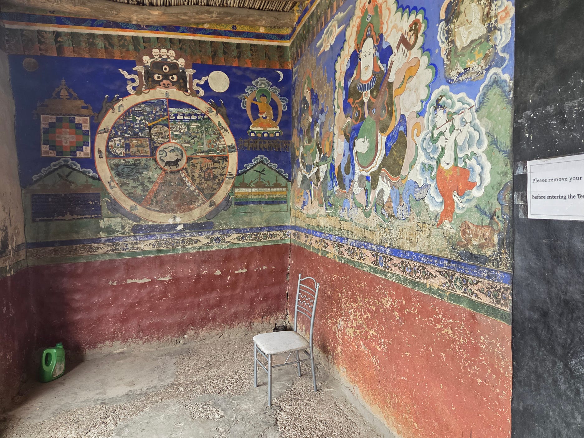
Also known as the Shey Palace, the Shey Monastery used to house the local king and queen.

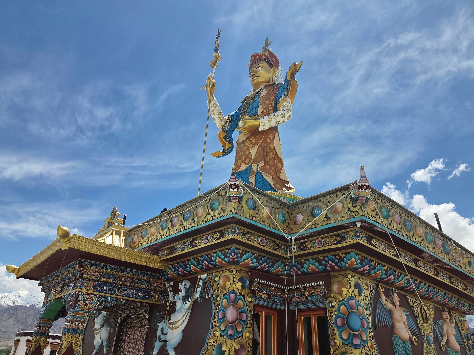
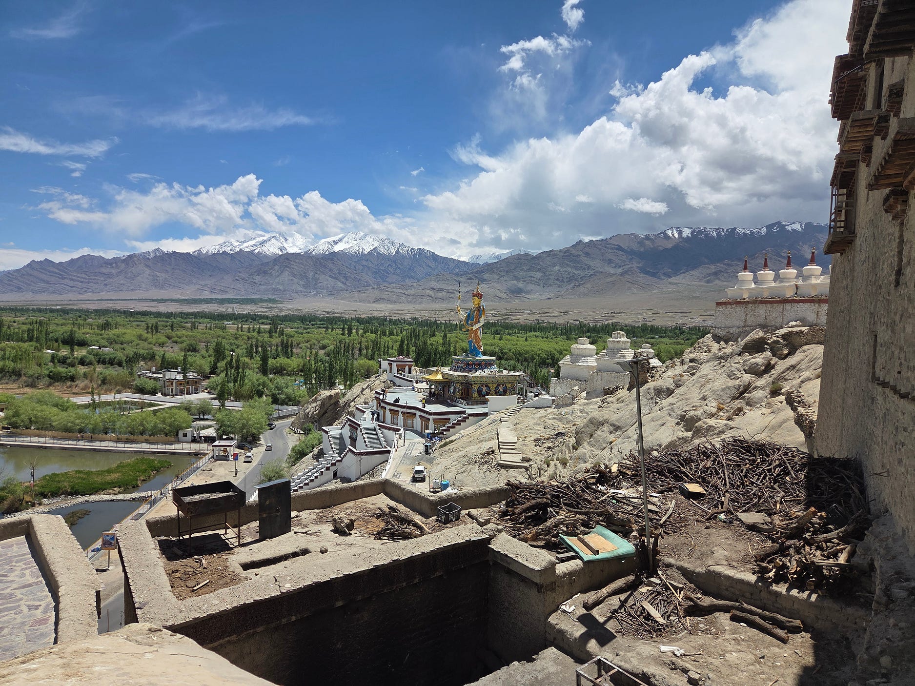
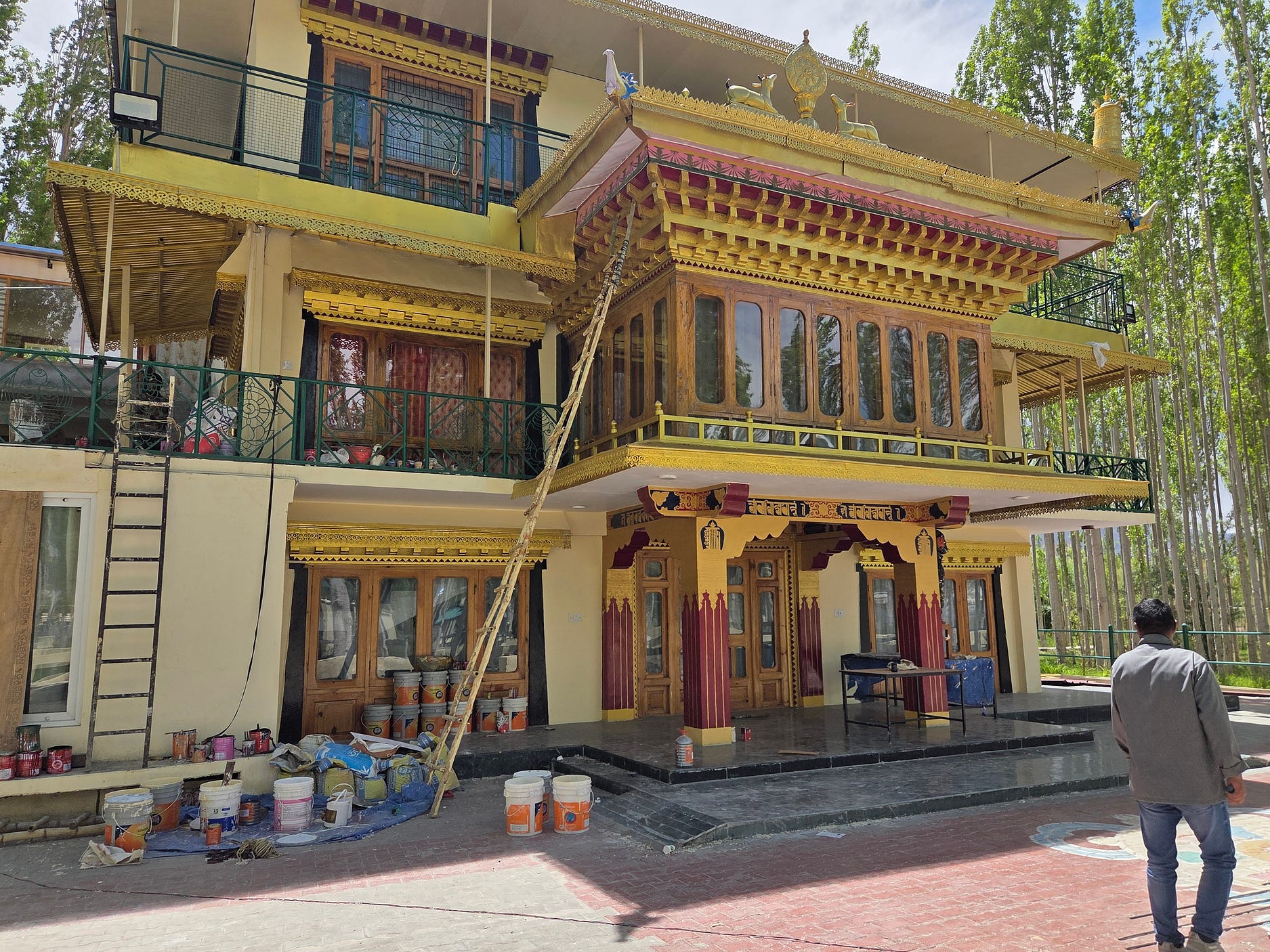
The next photo shows the house in which the Dalai Lama, normally resident in Dharamshala, lives for one or two months each year during the monsoon season. Its elaborate paint job was just getting touched up as we went past!
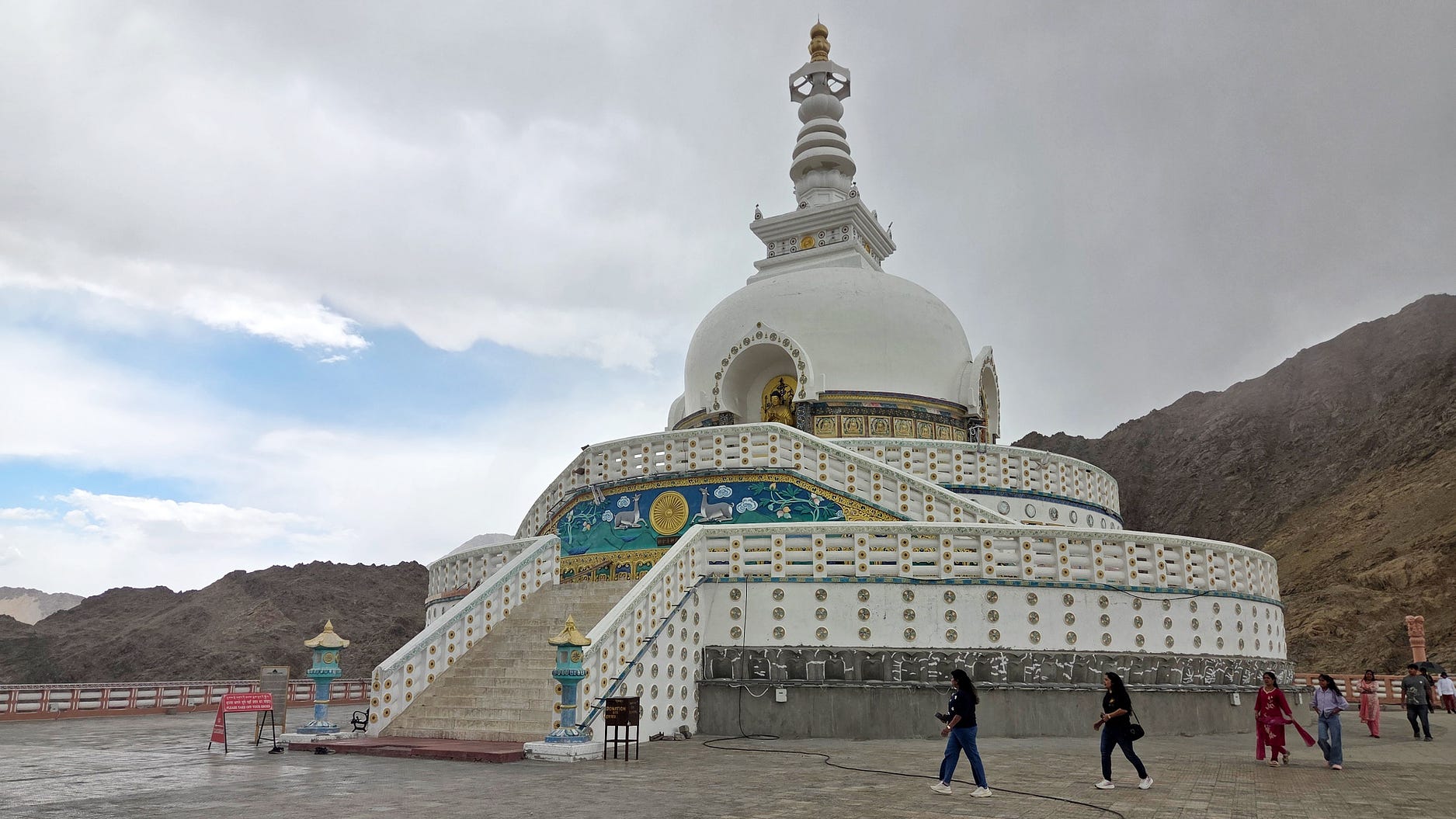
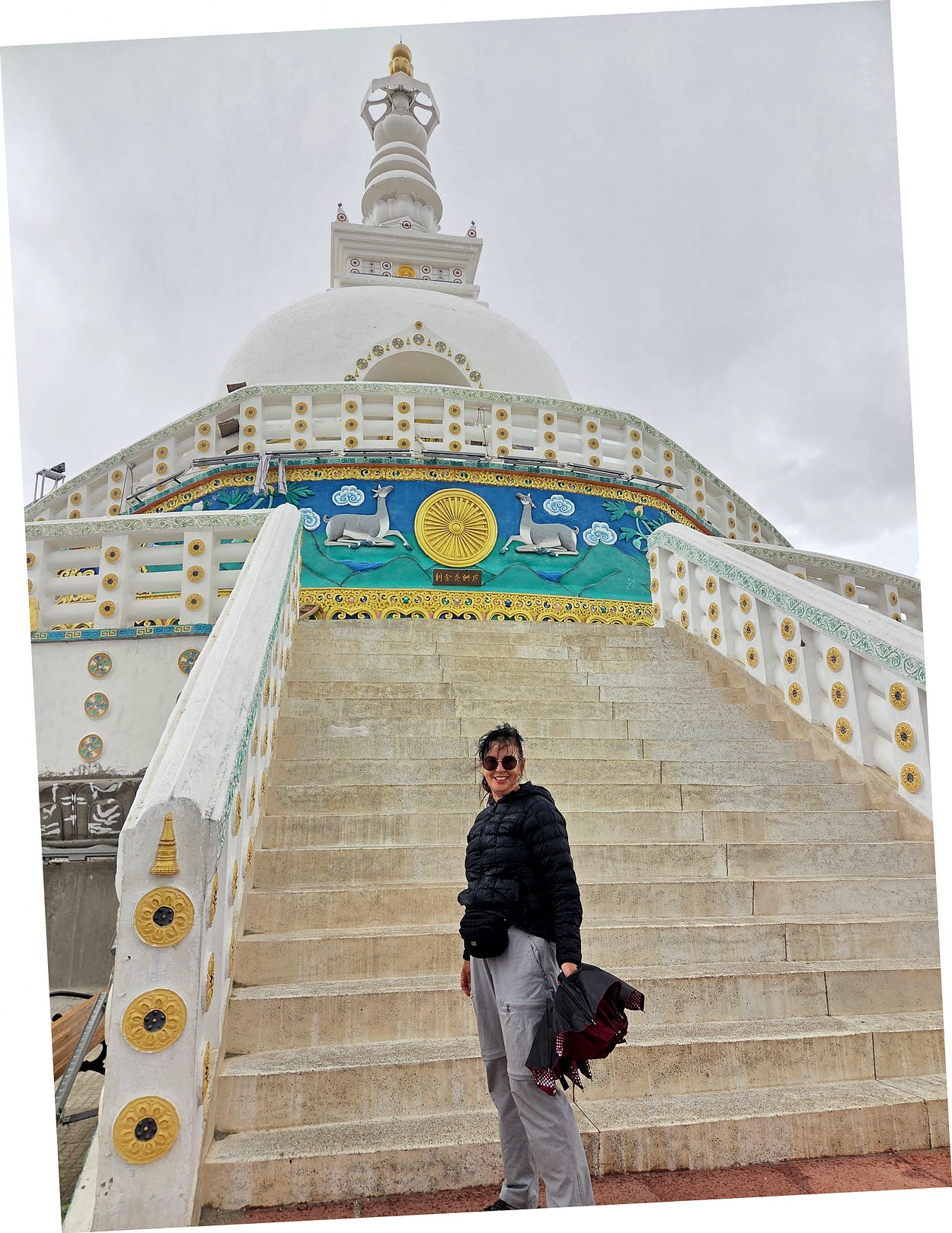
Here’s a short video I made of my arrival in Leh:
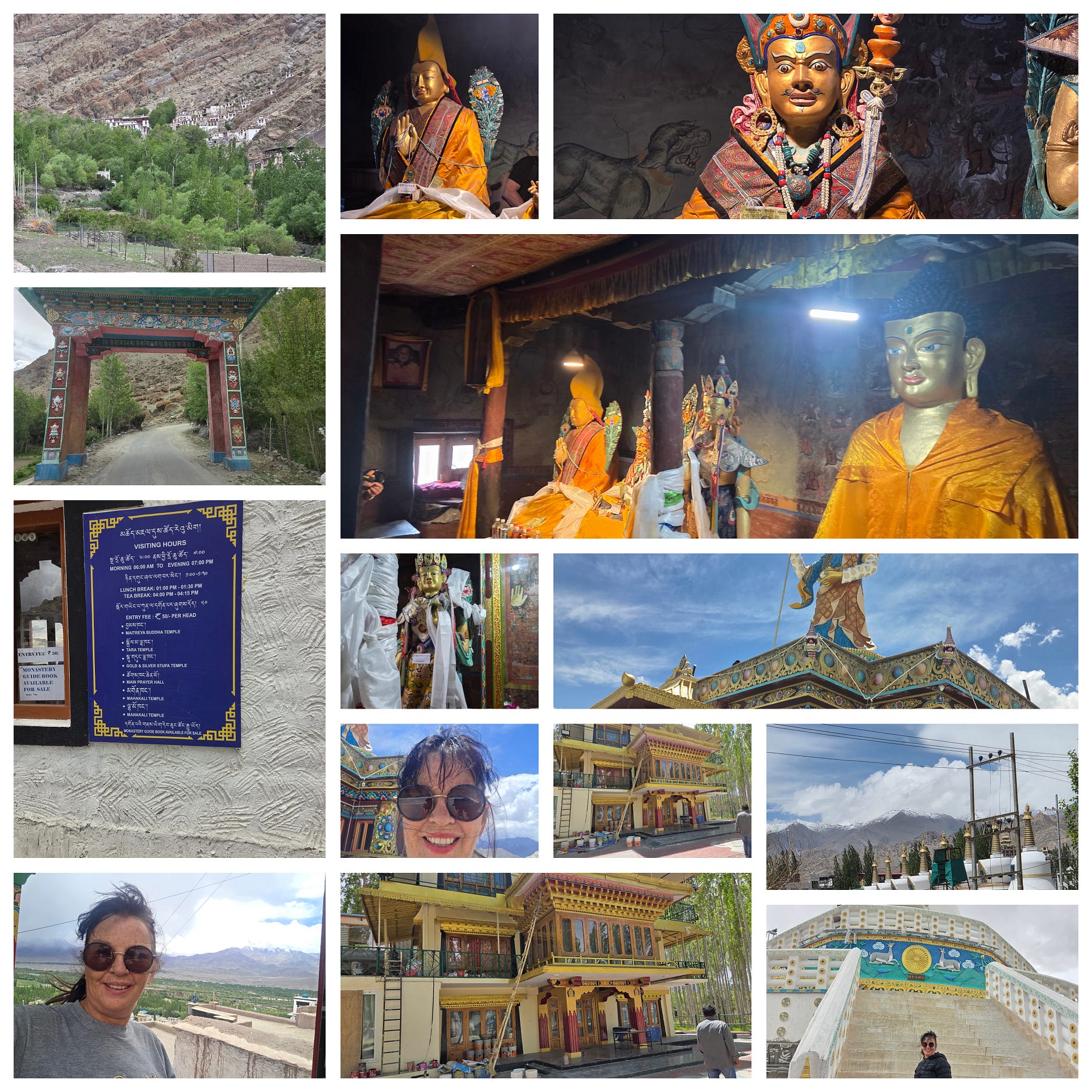
I also made a collage of some of these images, and more, for my social media!
For more on the region, see the Ladakh Development Foundation’s website subpage, ‘About Ladakh.’
Next week, I head out on my first few days of trekking, into the Markha Valley.
Subscribe to our mailing list to receive free giveaways!

