Giveaways
AFTER Hong Kong and Macao, I flew to Kathmandu, Nepal, to renew my acquaintance with the wonderful Himalayan country I last visited before the Pandemic.
I was to go on the Langtang Valley Trek, which set out from the village of Syabrubesi on the Trishuli River, at a nominal 1,550 metres above sea level (ASL).
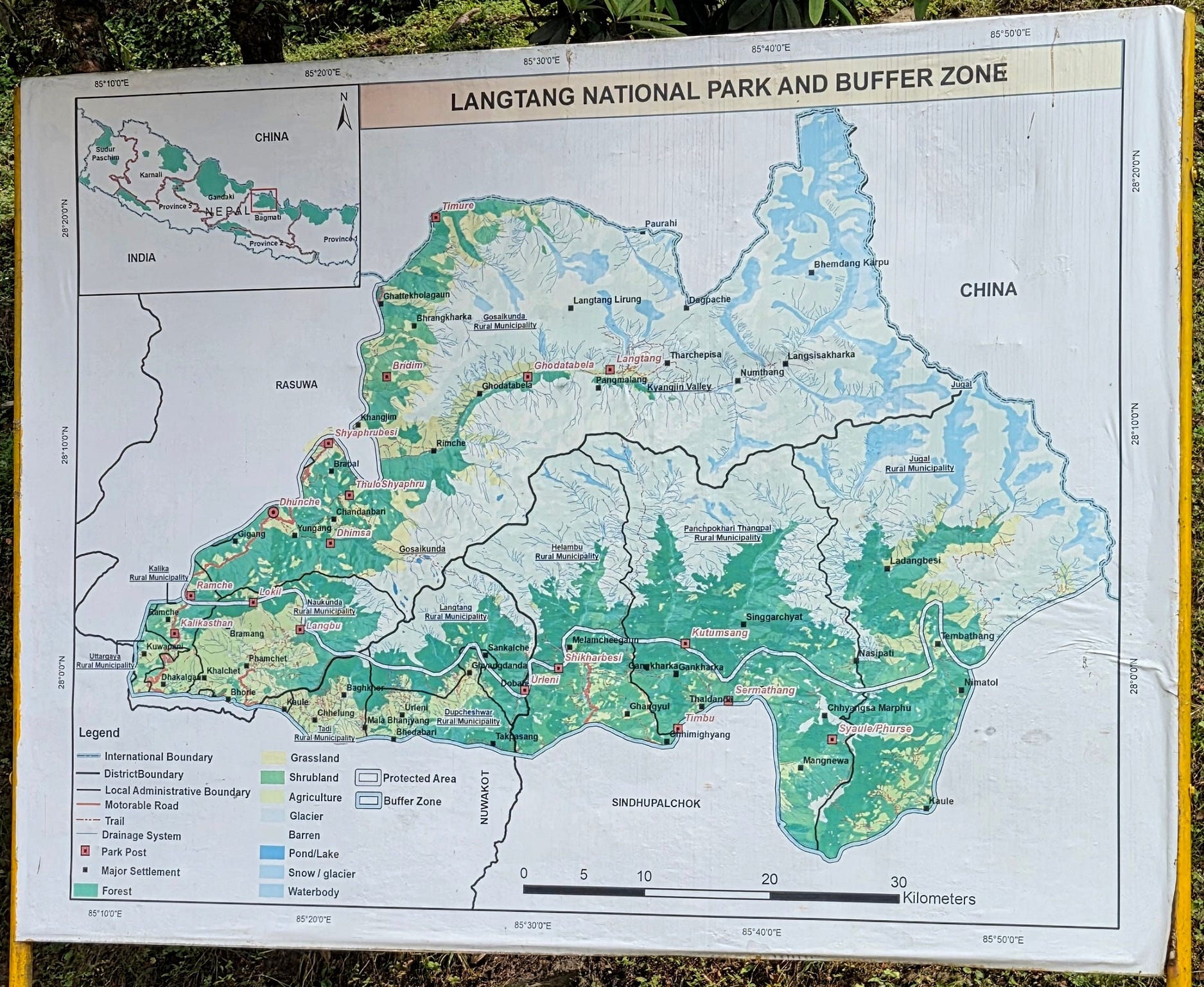
The Langtang Valley is in the northern half of the Langtang National Park, which lies to the north of Kathmandu and on the border with Tibet, as per this sign.
The western boundary of the Langtang National Park is formed by the Trishuli River, also known in its northern reaches as the Bhote Koshi, meaning ‘river from Tibet.’
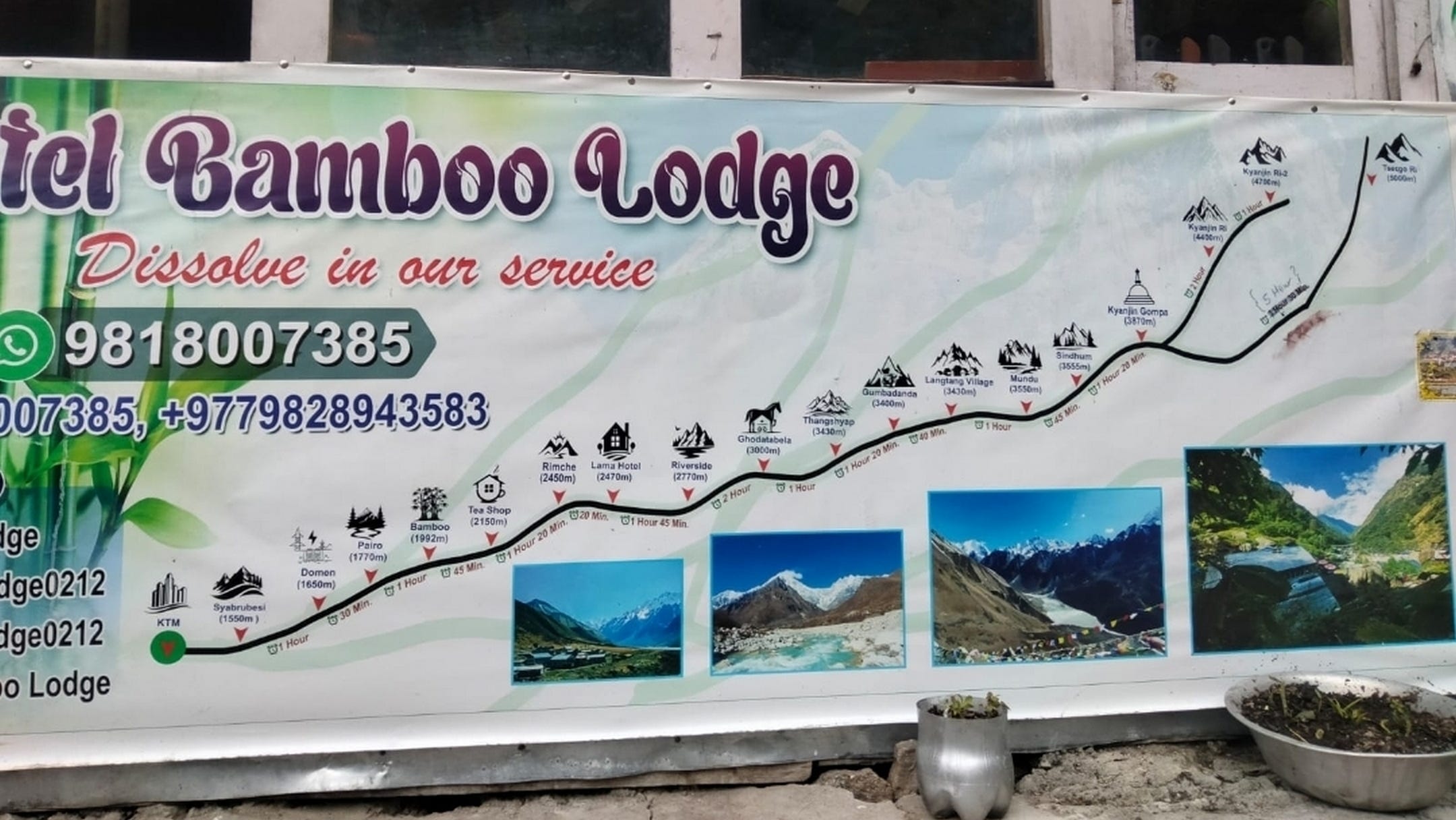
The Langtang Valley Trek climbs from Syabrubesi to the village of Kangjin Gompa (Kangjin Monastery) at 3,870 metres ASL, and from there to the Kyangin Ri (Kyangjin Peak), which has a lower peak at 4,400 metres ASL and an upper peak at 4,700 metres ASL, said to be one of the most spectacular lookouts in the world.
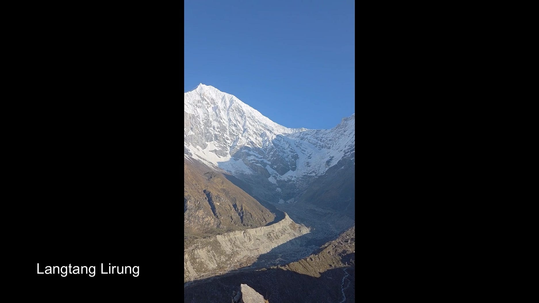
The northern side of the Langtang Valley contains the Langtang Himal or Lantang Range.
The largest mountain in the Langtang Himal is Langtang Lirung, a very tall and steep mountain, 7,220 metres ASL.
From the lower peak of Kyangjin Ri, we were able to get a spectacular view of the scar carved by a 2015 landslide that destroyed the village of Langtang.
Little did we know that something even more disastrous was about to happen on the north face just three months after our visit.
We set out by bus for Syubrabesi from Kathmandu.
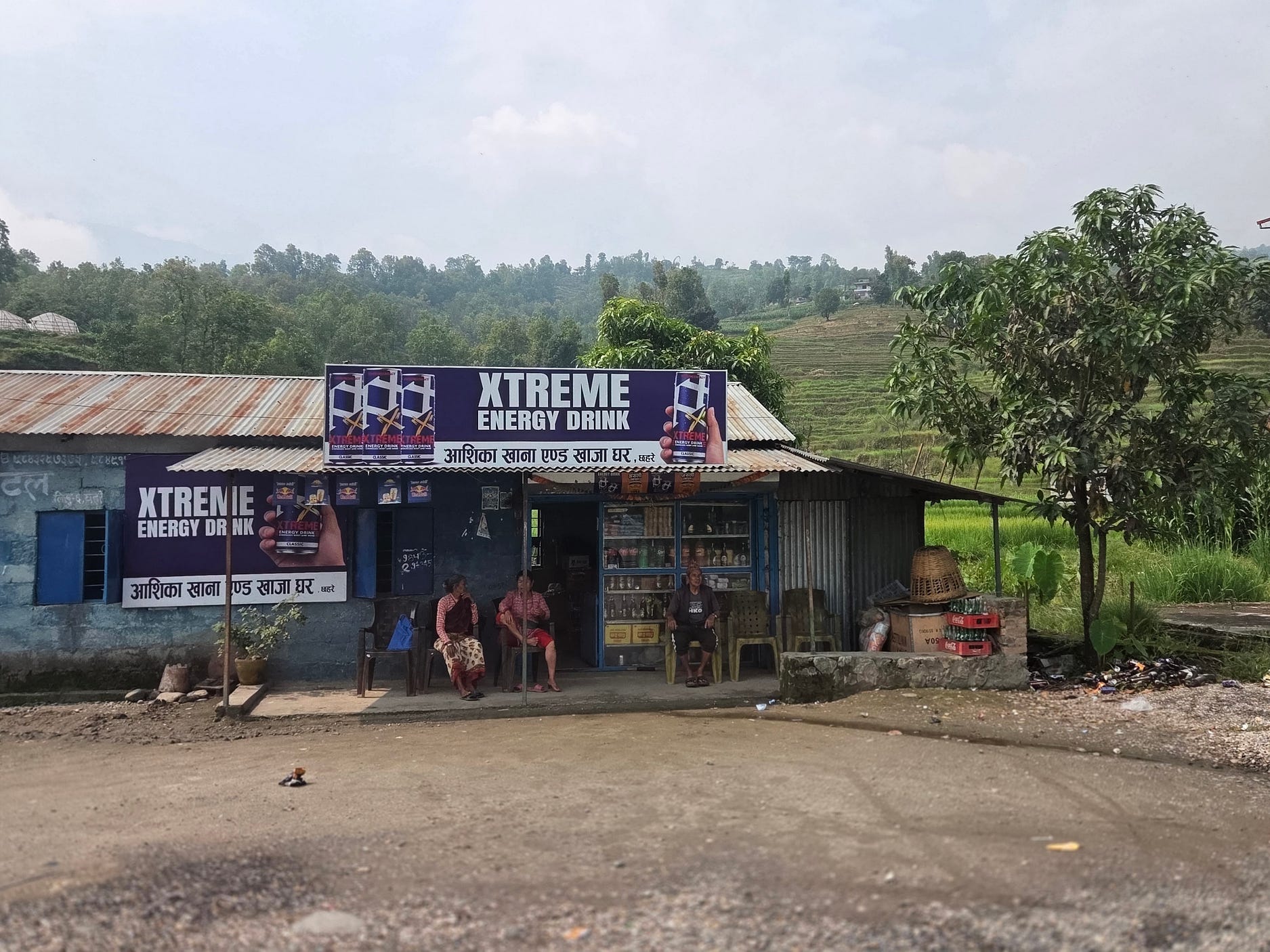
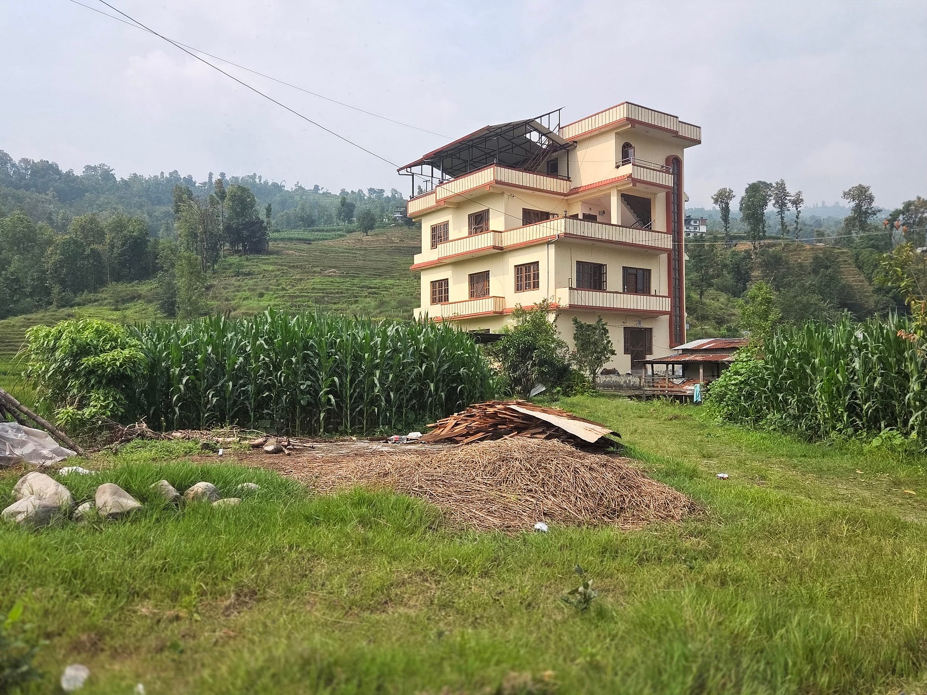
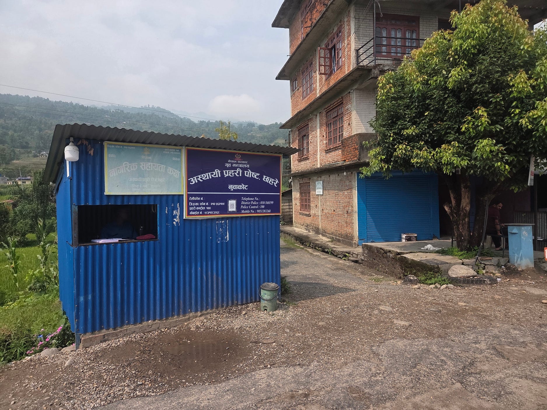
And so, we arrived in Syubrabesi.
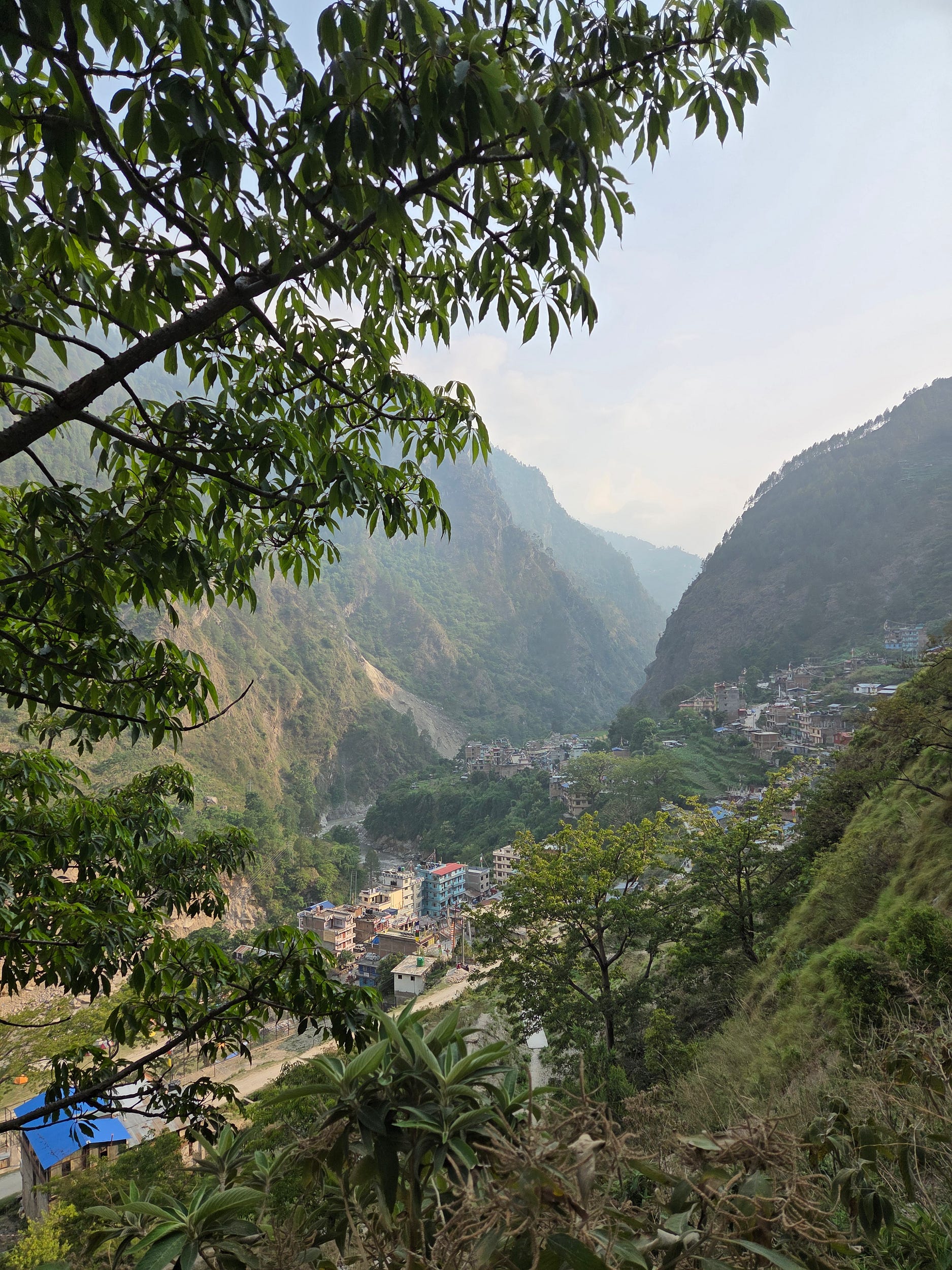
The photo just above shows how much of the town was built on a flat terrace above the gorge of the Trishuli (or Bhote Koshi). This was thought to be at a safe level, but the 26 August 2026 flood, caused by a landslide on the north face of Langtang Lirung, overtopped the gorge and washed away all the buildings on the flat terrace.
You can see before-and-after photos from a similar vantage point, here.
There must have been a great many dead and missing, though, apparently, no-one has yet worked out how many specifically from Syubrabesi.
A couple of the hostels which I photographed in Syubrabesi, this May, were among the destroyed.
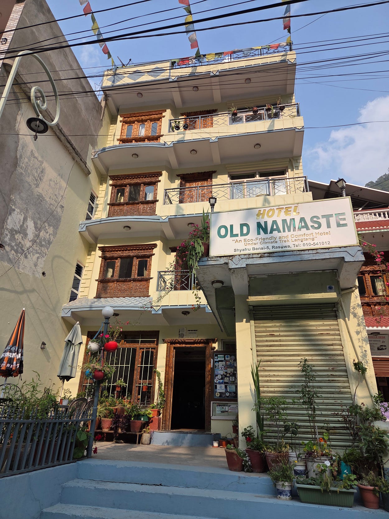
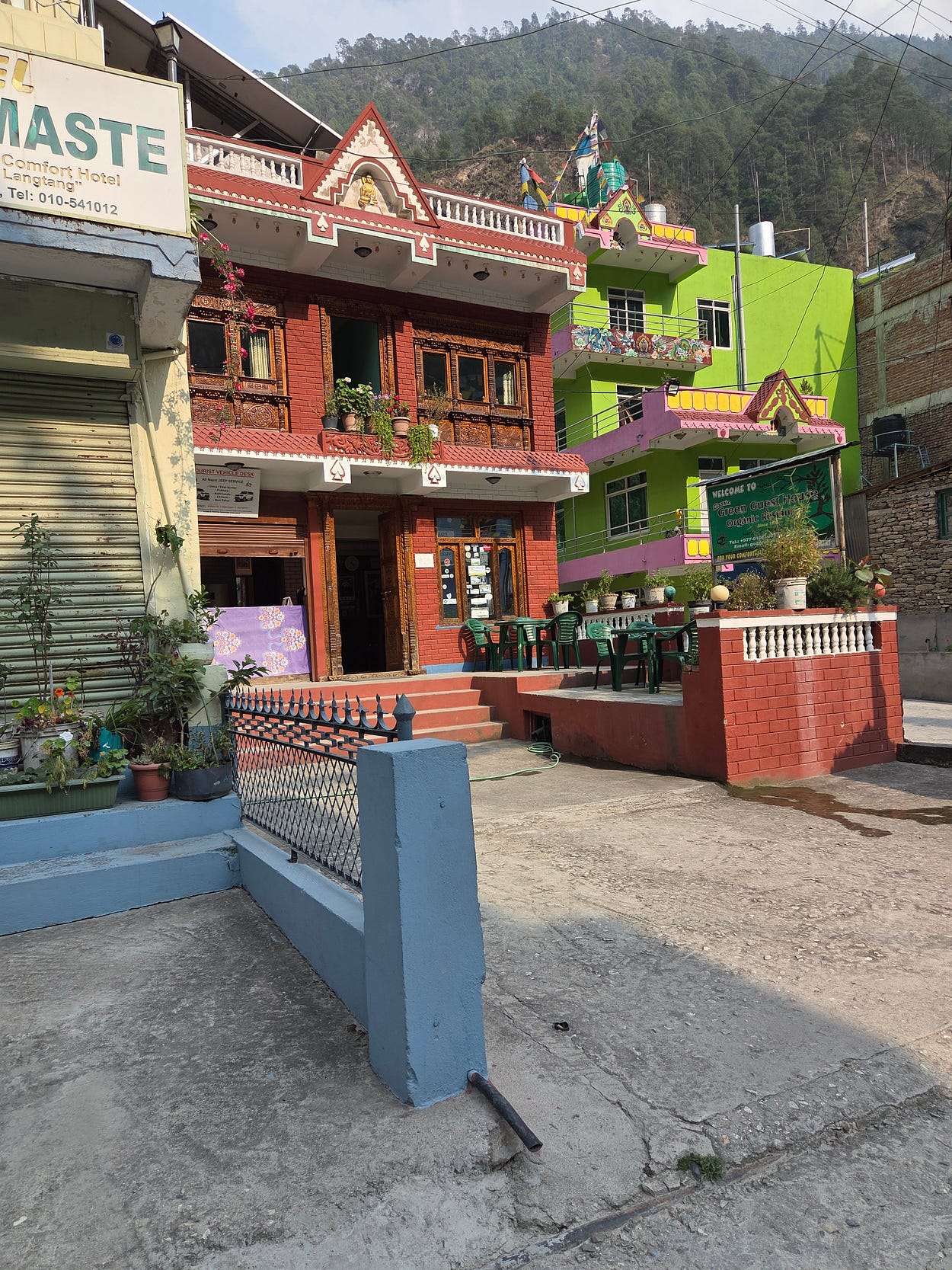
A spectacular statue of the Guru Rinpoche must have survived, as it was well above the river, on a hill known as the Small Hill.
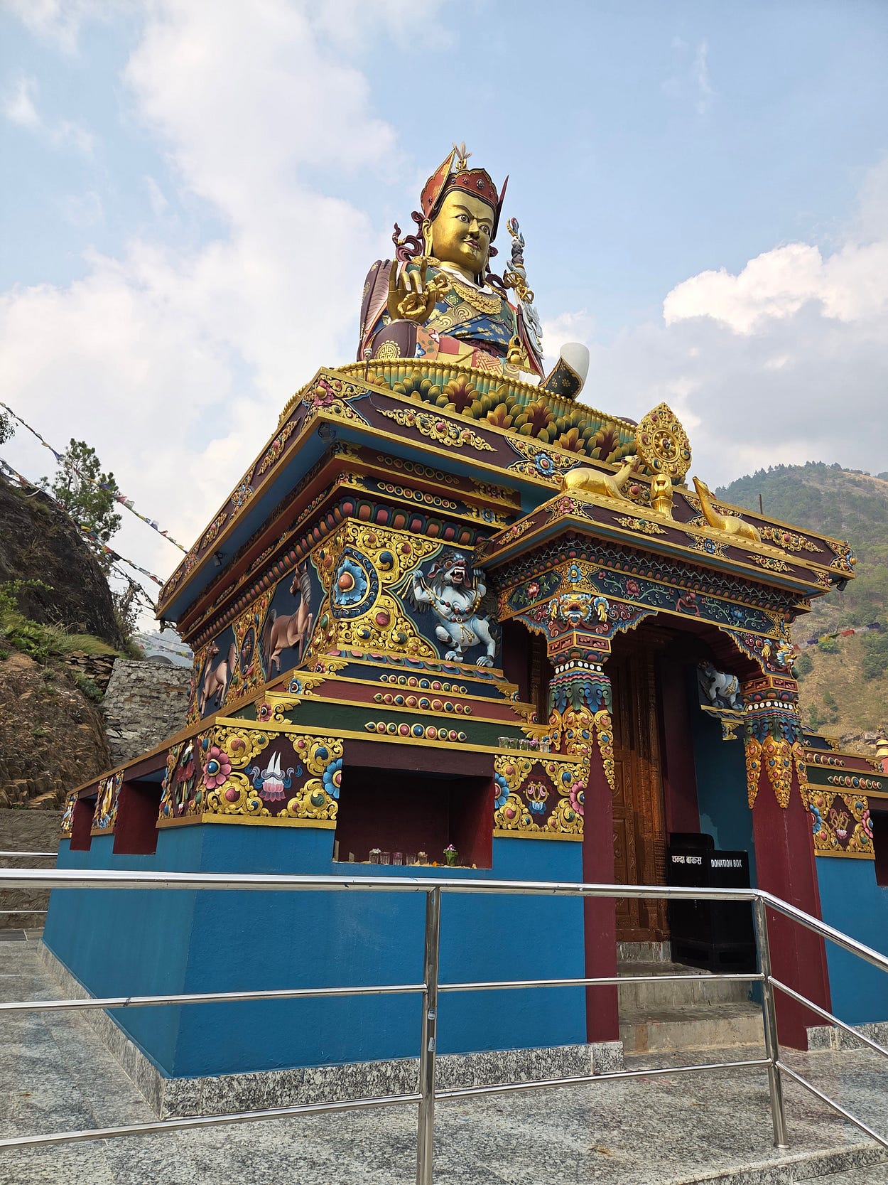
It might seem odd, therefore, to be writing up this hike in the aftermath of the tragedy of August 26. Nevertheless, hiking and tourism were the life of Syabrubesi, and nothing could help the local people more than for people to start hiking these trails again, as quickly as possible.
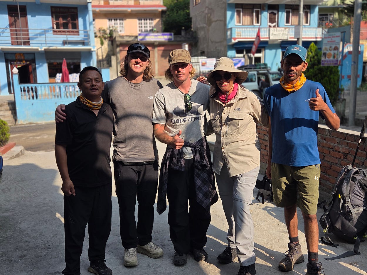
The next photo shows our cheerful hiking group in Syubrabesi. From the left as shown on the webpage, it consisted of my porter, Mr Lama, who turned out be perhaps the most useful person in the expedition, two fit young Australian guys, myself, and our guide.
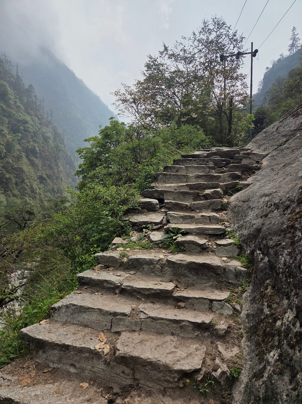
Much of the trail follows the course of the Langtang Khola (River), which feeds into the Trishuli near Syubrabesi.
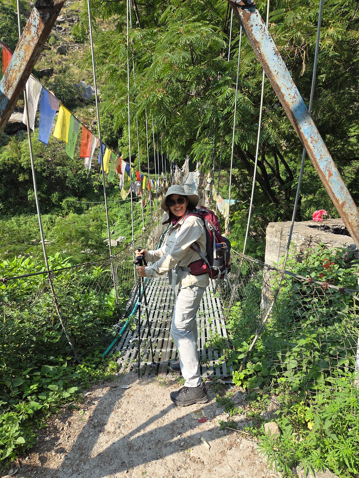
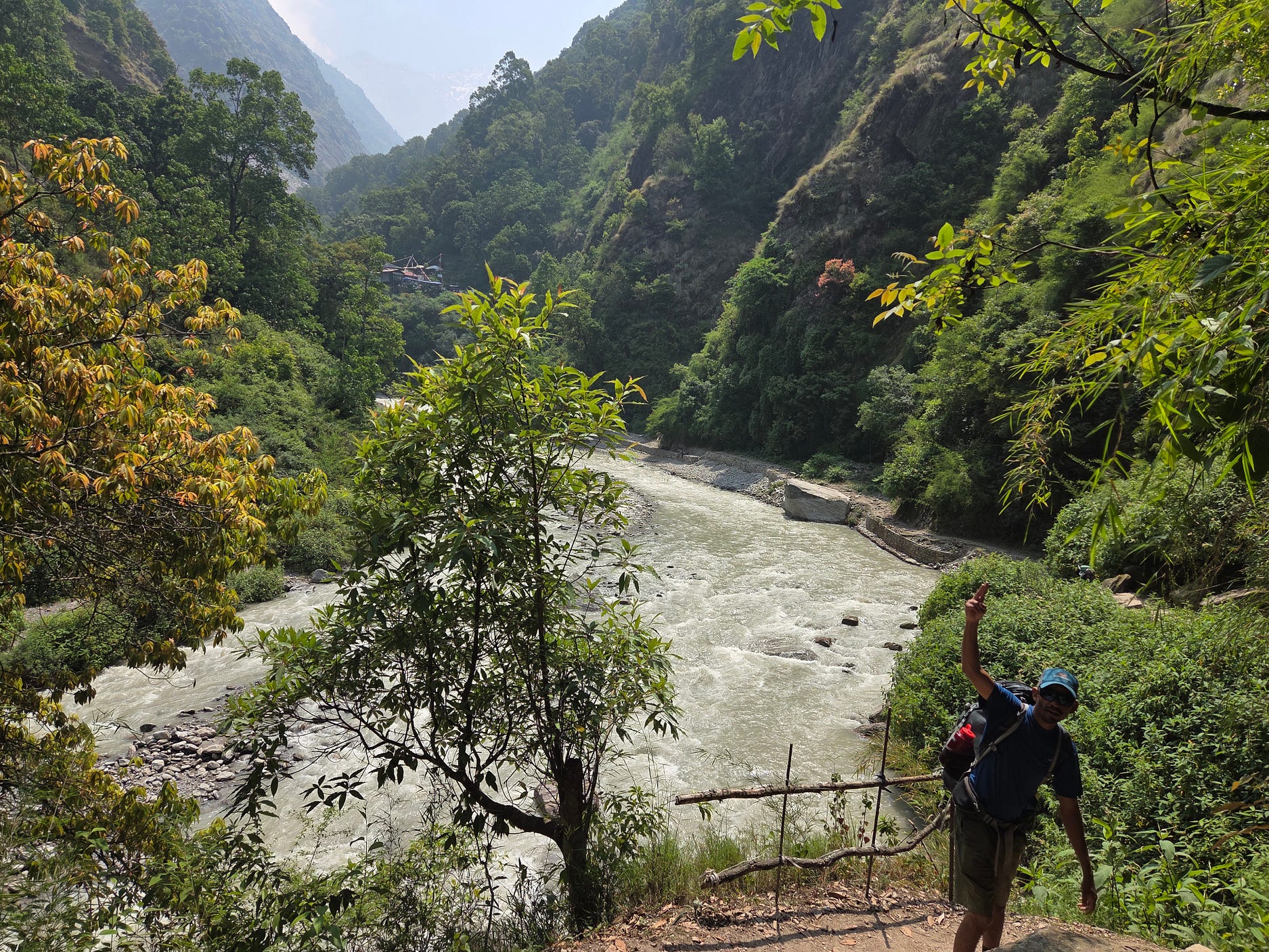
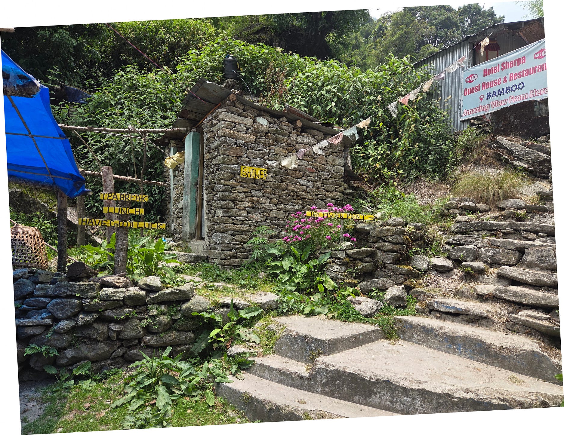
The next few photos, and video, are of the Bamboo Guest House, one of several we stayed at. It is at 1,992 metres ASL, on the Langtang, which by this stage is starting to get more bouldery.
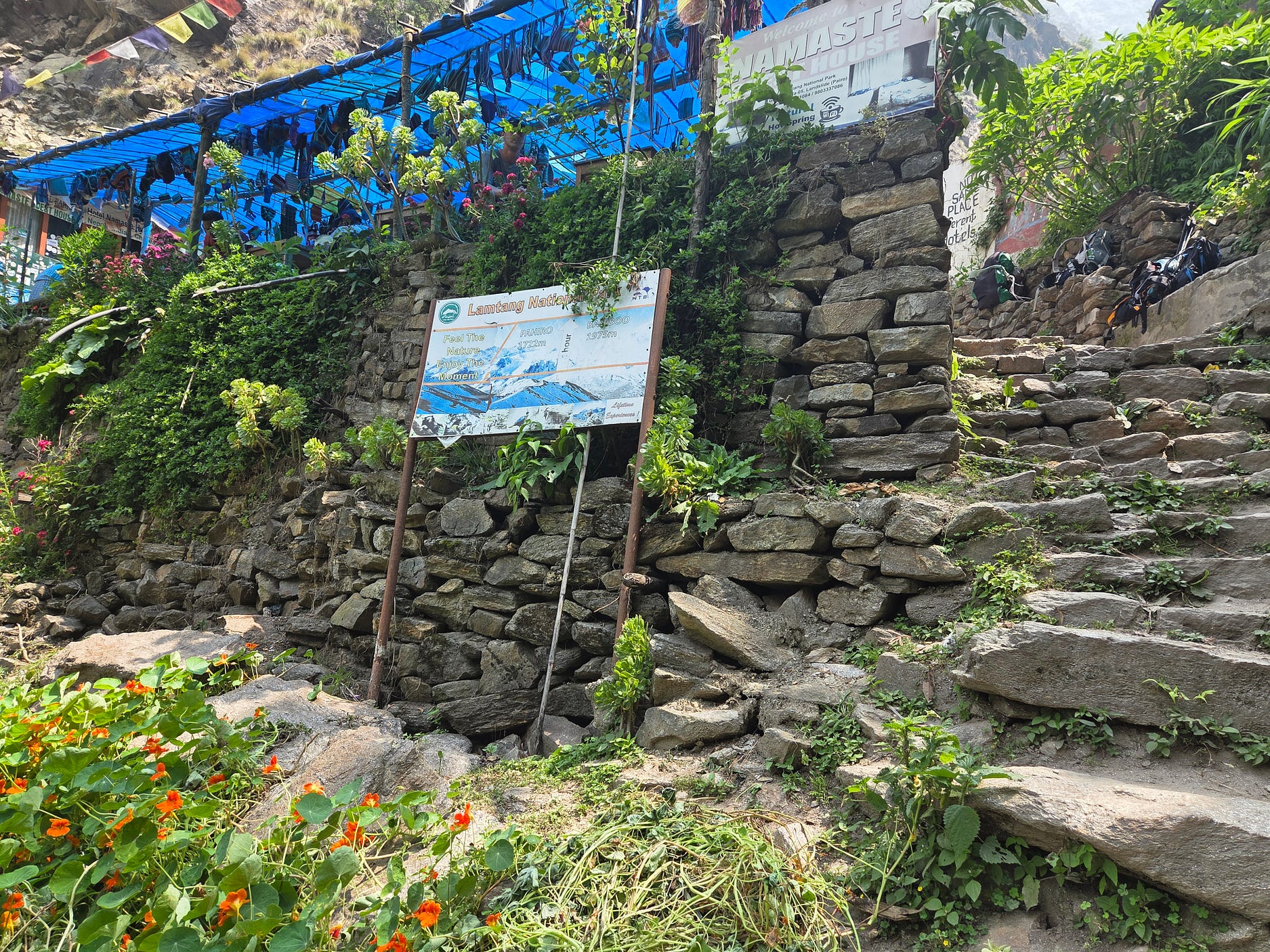
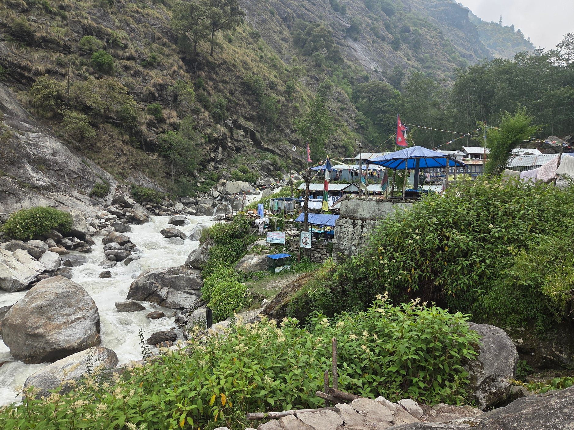
The shower at the Bamboo Guest House was in a rustic stone shed.
Here is a video I made in these parts:
I also filmed a bird, which I think was a male Red-Headed Bullfinch, common in the mountain forests of Nepal.
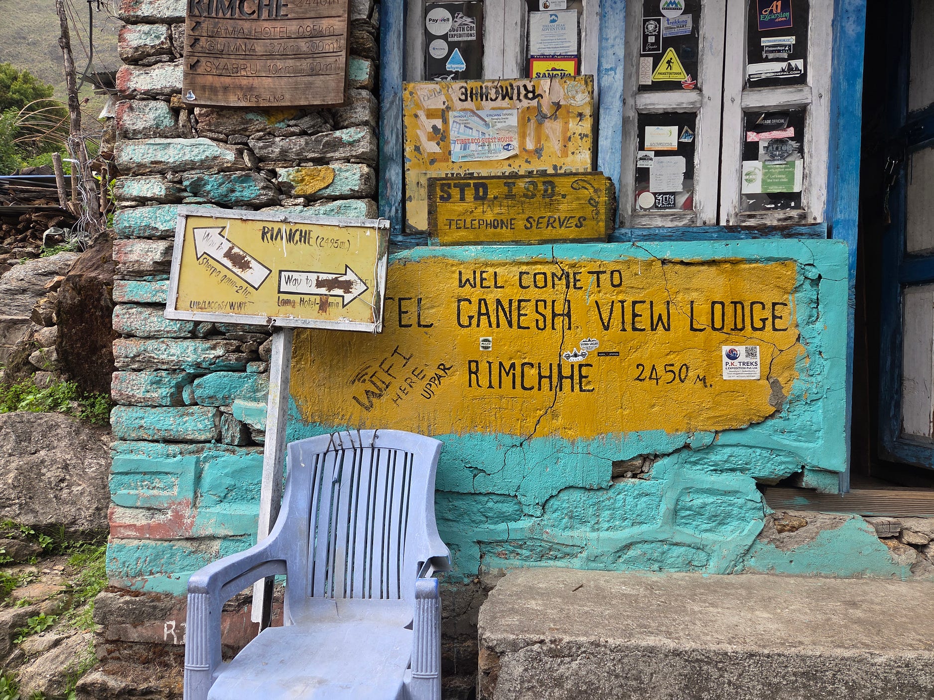
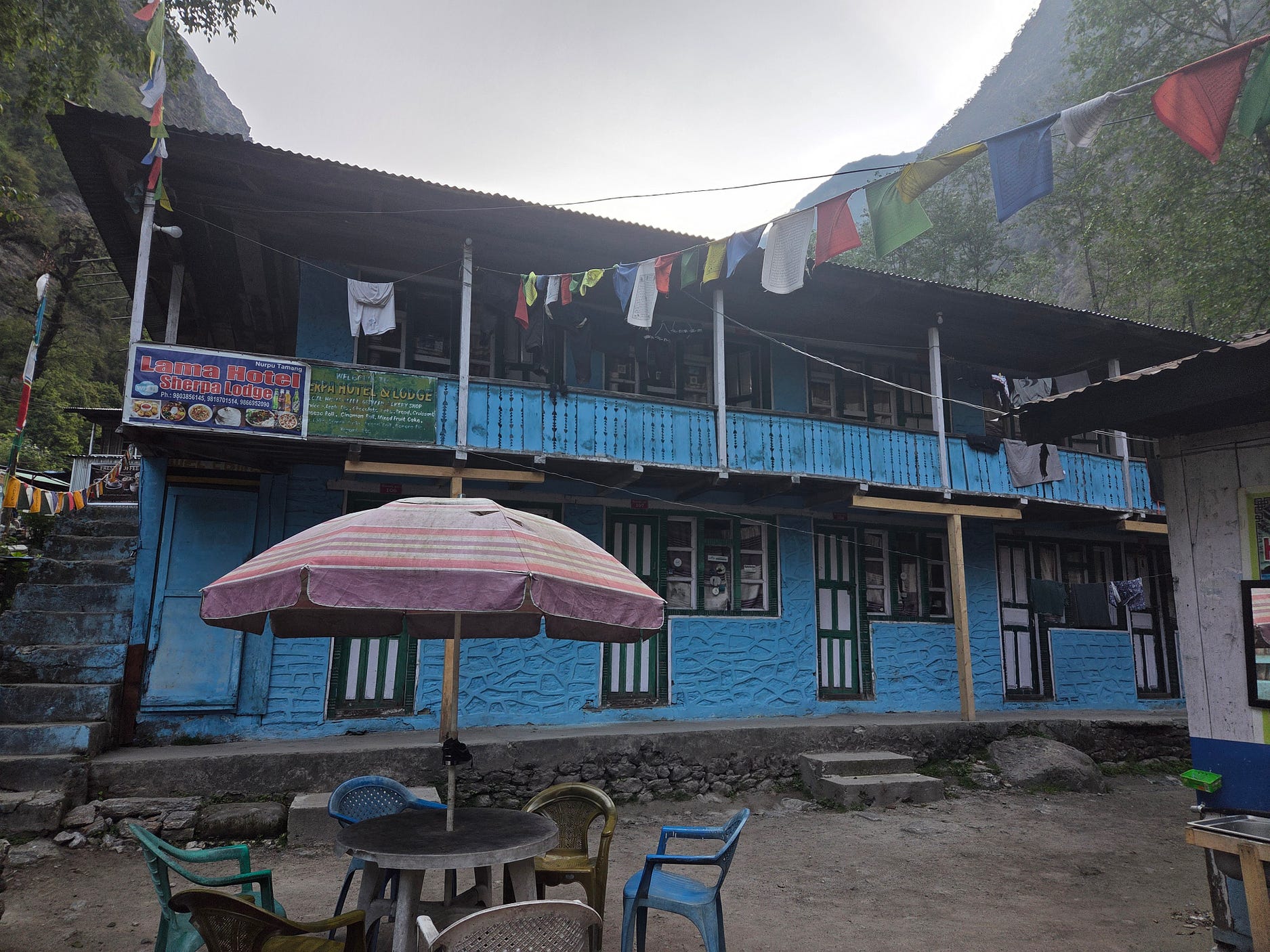
And then on to Rimche, or Rimchhe, and, a short distance further on, the Lama Hotel.
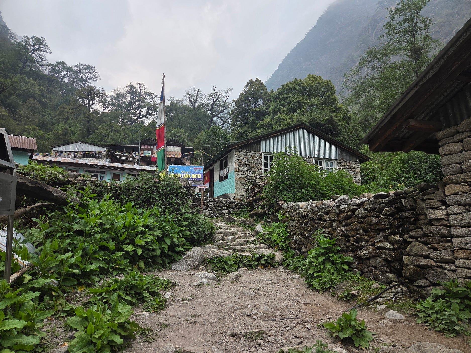
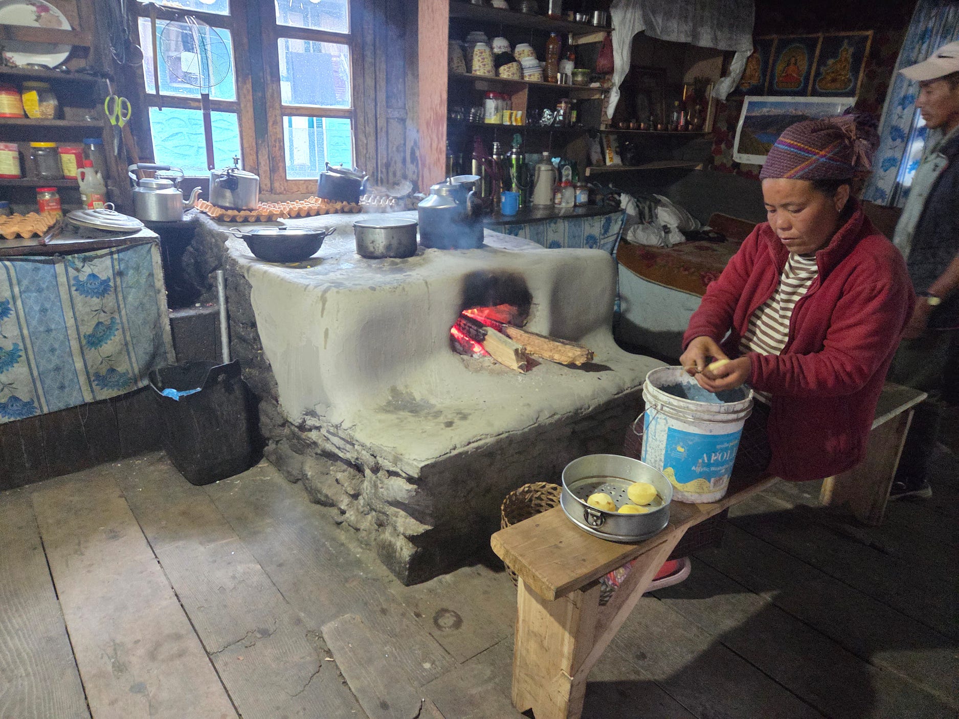
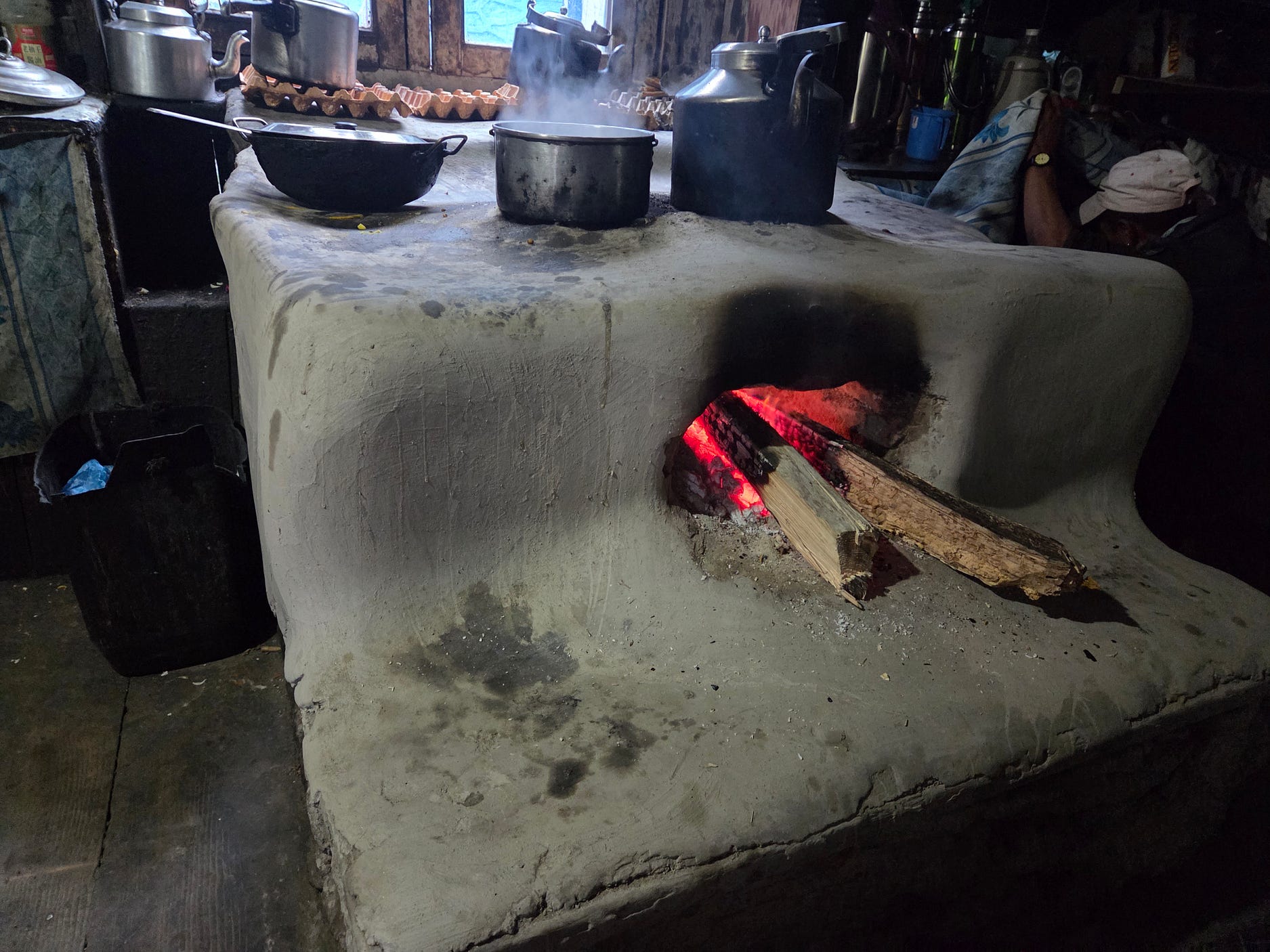
The kitchen of the Lama Hotel had a really traditional wood-fired clay stove, similar to the kind that in northern China are called a kang.
The Lama Hotel didn’t have any running water when I was there, however, which was getting a bit too rustic for my liking.
Next week, I get into the more seriously alpine part of the hike!
Subscribe to our mailing list to receive free giveaways!

