Giveaways

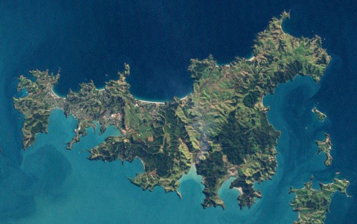
WAIHEKE Island is the largest island in Auckland’s inner Hauraki Gulf. You can see it in the map above, which also shows the ferry routes of Auckland Harbour.
Waiheke Island’s got quite a large ferry commuter suburb in its western half, chiefly made up of the townships of Oneroa (‘long beach’), Little Palm Beach, and Onetangi (‘weeping sands’), where the following short video was made:
The eastern half of the island is agricultural, with lots of vineyards. Indeed, Waiheke Island is particularly famous for its vineyards and winery tours.
There’s a good Wikipedia page on Waiheke Island, which used to be a hippie getaway but is now gentrified and wine-trail-ified, especially on the northern shore, where it has the best beaches and the most sun.
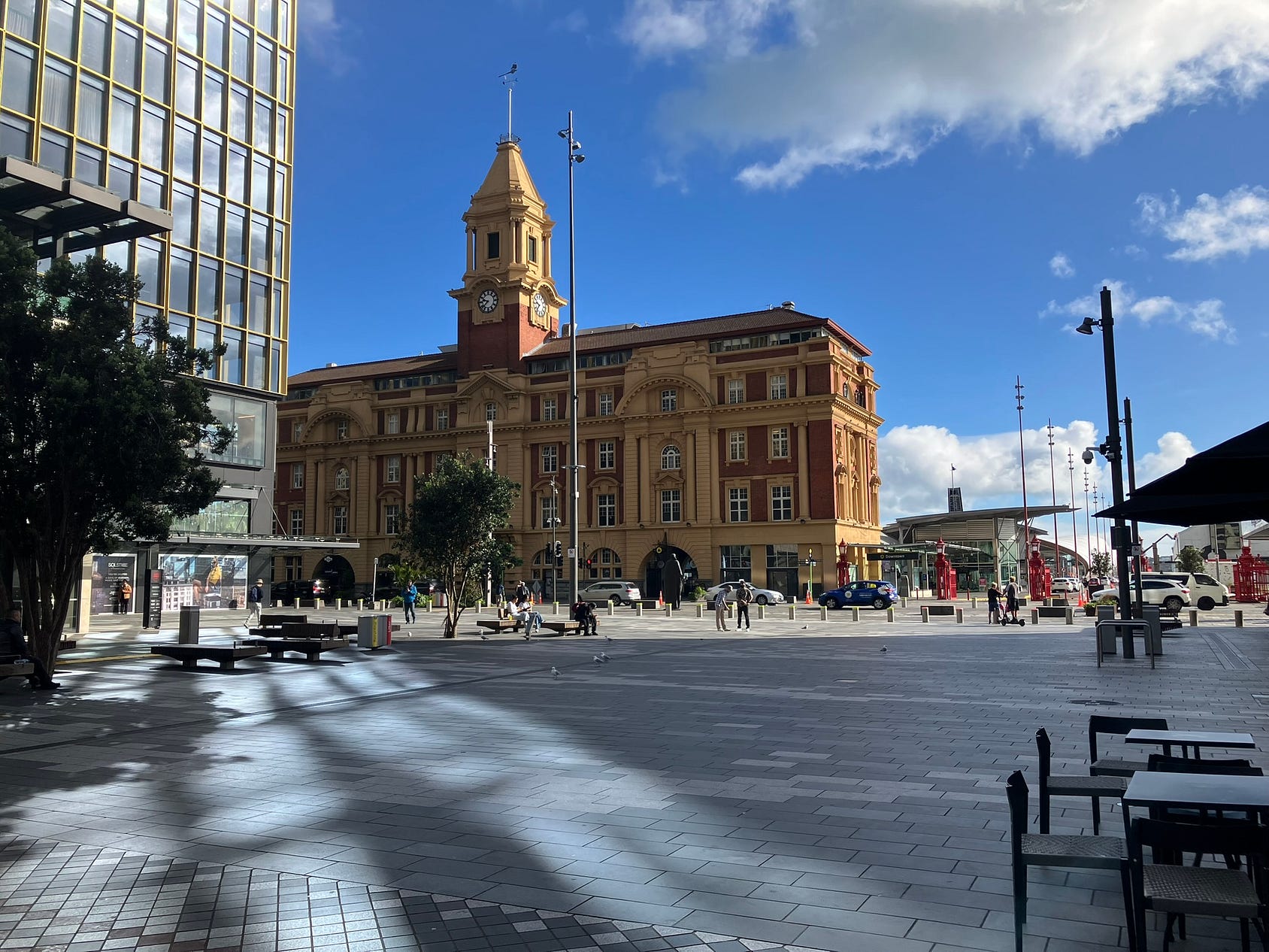
To get there, you catch a ferry from downtown Auckland’s main ferry building and terminus. A standard adult return walk-up ticket is NZ $65 as of the time of writing, though it is free for pensioners with a gold Auckland Transport AT Hop card.
The next photo shows a red Sealink car ferry, taken from a Fullers ferry. Fullers provides the most commonly used service at the moment, but does not take cars.

Here’s a video of the ferry trip, mostly outward but including, at the end, the return to Auckland’s Ferry Terminal from the suburban wharf at Devonport, where the thumbnail was taken.
It’s also possible to fly to Waiheke Island by helicopter and even by chartered light plane, as there is a small aerodrome in the middle of the island, though there are no scheduled air services.
The main ferry port on Waiheke Island is at Matiatia, on the western end.
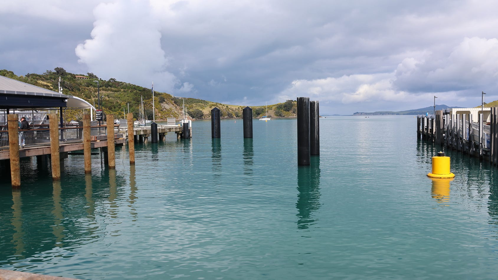
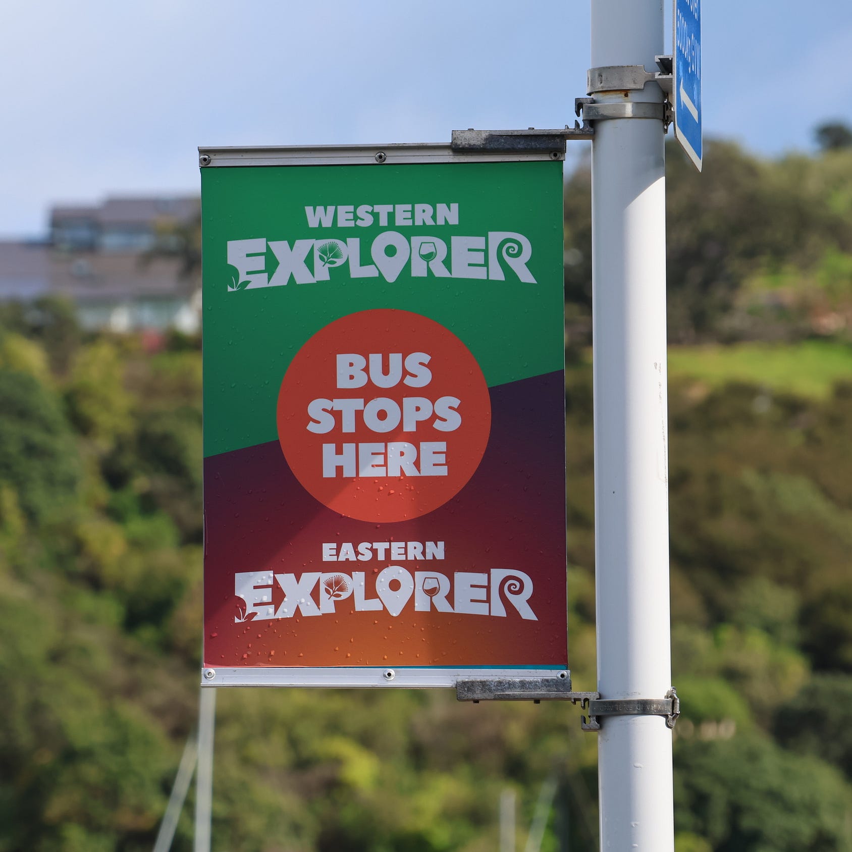
The island has excellent bus services fanning out from Matiatia, both for locals and for tourists.
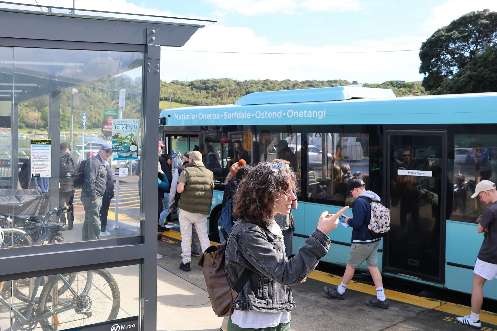
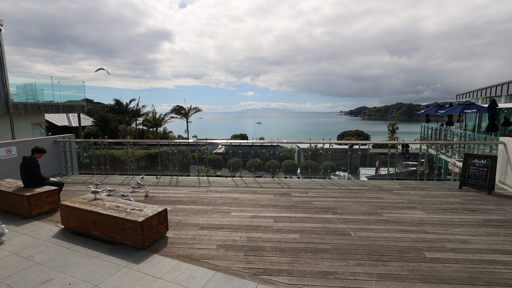
The northern part of the western half of the island, where the best beaches and most sun are, is well set up for commercial tourism, with lots of restaurants and cafés, many of them overlooking the sea.
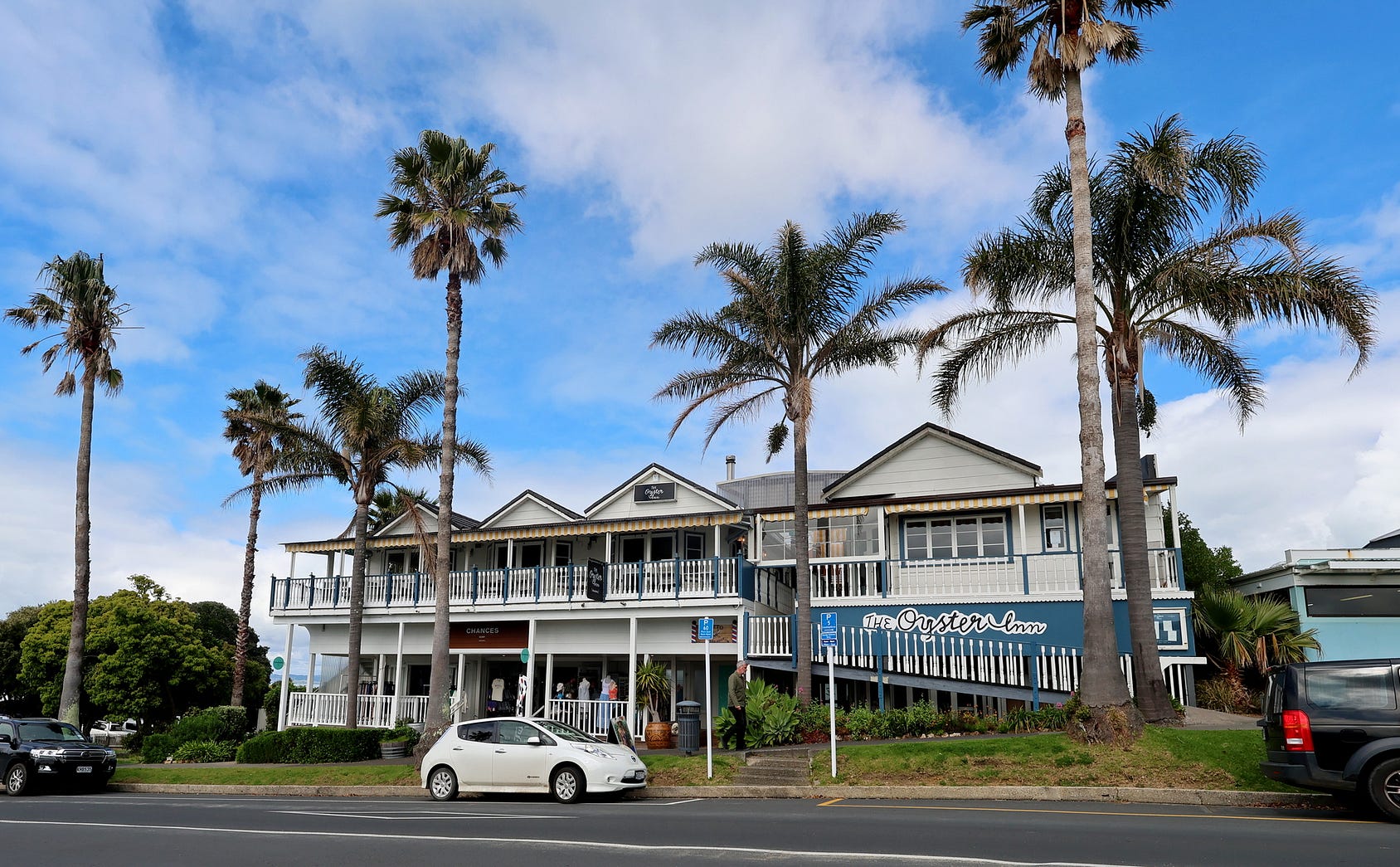
Here’s the Oyster Inn, in Oneroa.
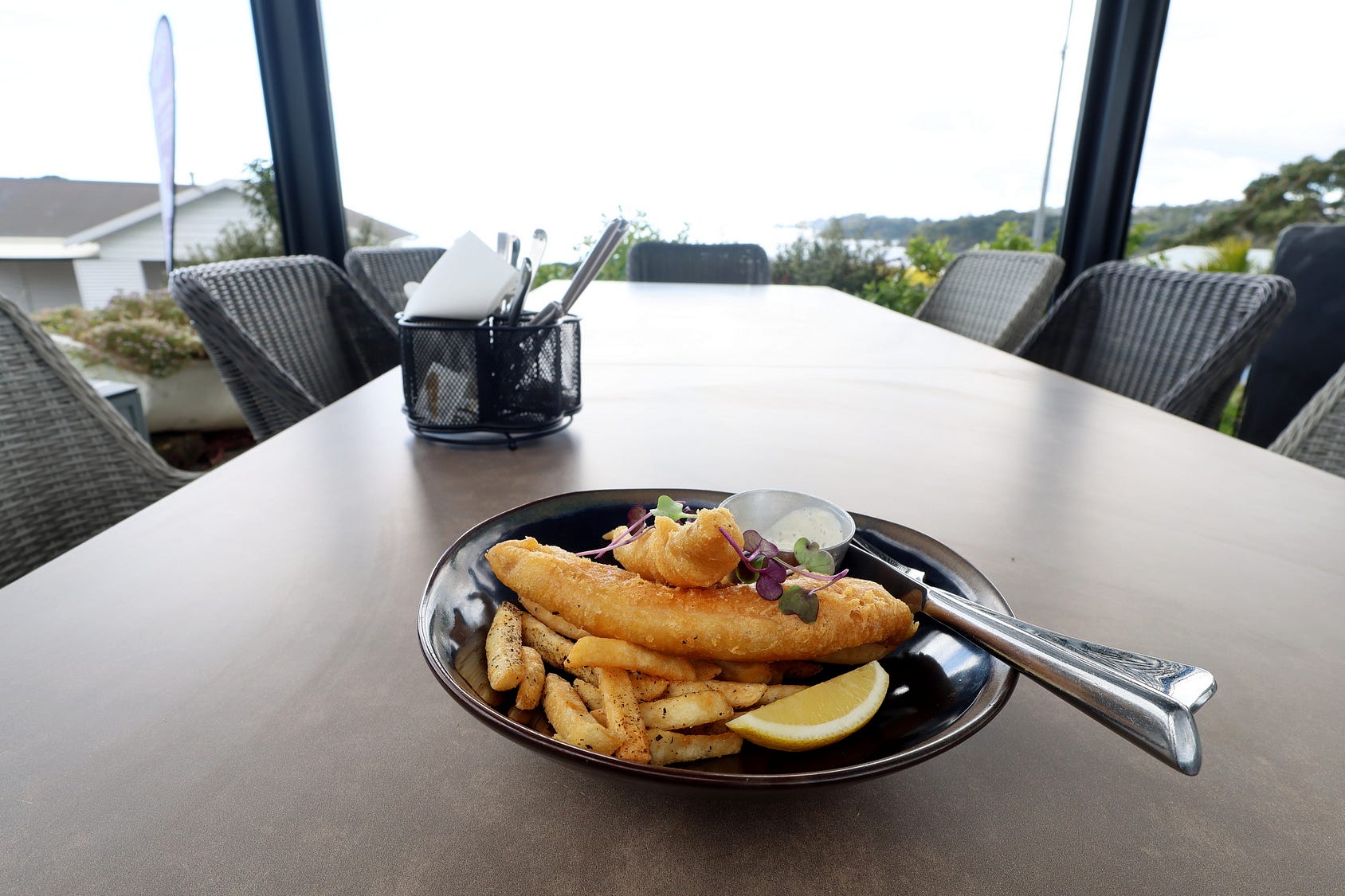
And some fish and chips at Obee’s Seafood Restaurant, also in Oneroa.
(This post was made without any paid promotion, as usual for my posts— it’s purely for information.)
The south side of the island, with less spectacular beaches and a southerly, poleward aspect, is less built-up save for the township of Ostend, but preferred by some people for all that.
In the settlement of Ōmiha, also on the south side, the only café is a temporary weekend one in the local war memorial hall.
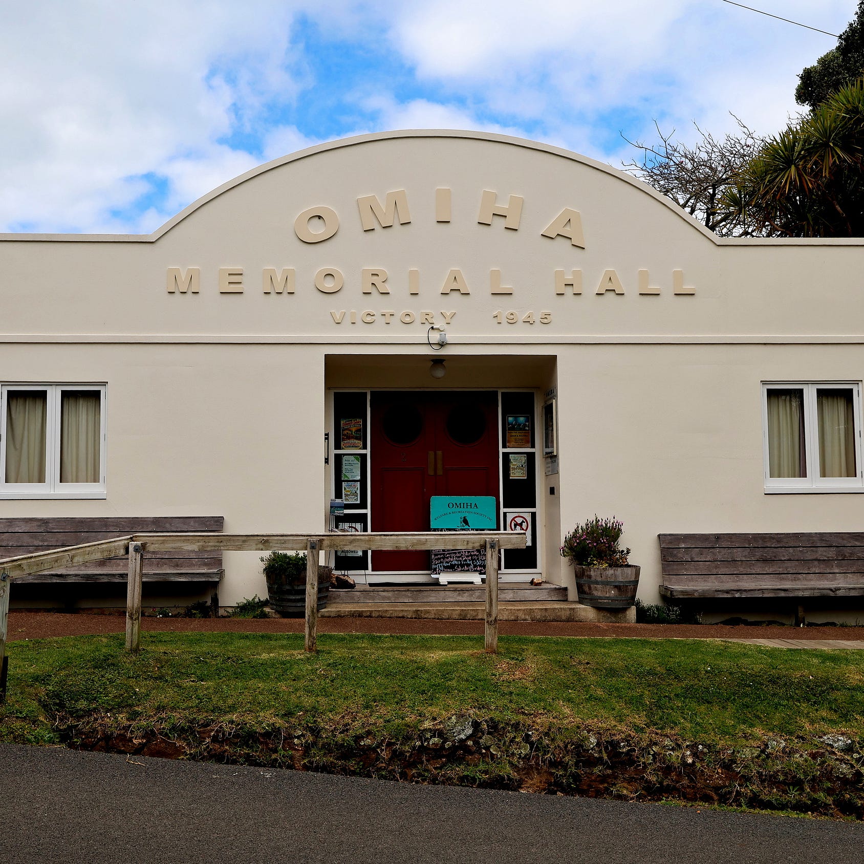
And that’s despite the fact that plenty of yachts anchor in the local harbour.
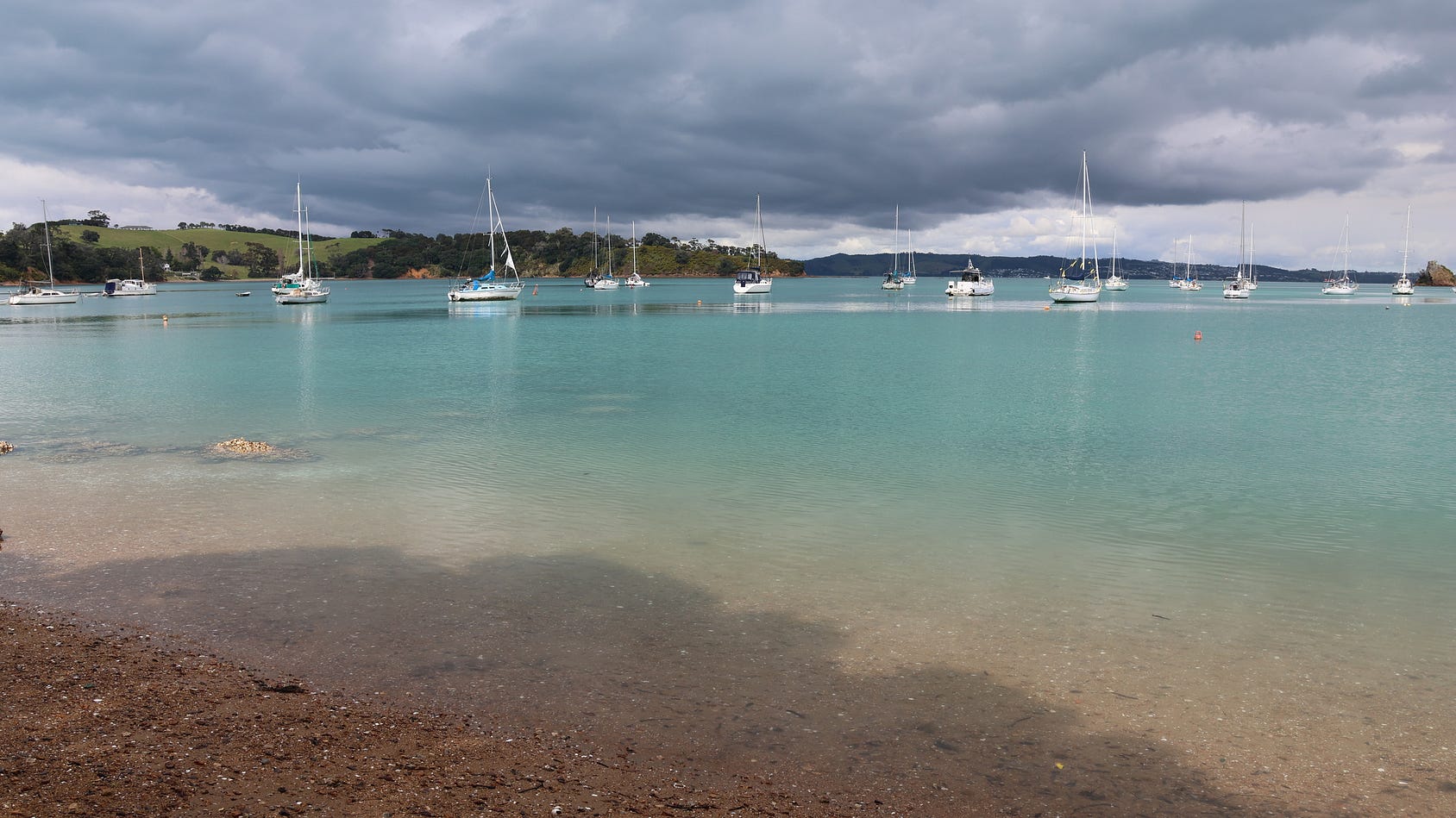
Here’s a short pan across Ōmiha Bay:
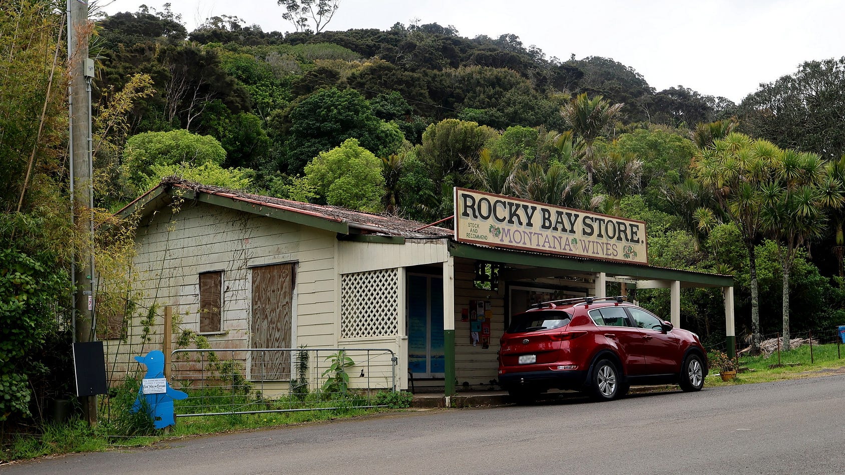
There used to be a store at Ōmiha, also known as Rocky Bay, but it burned down over twenty years ago. Nobody ever got around to demolishing the ruin, and there are plans to have it restored.
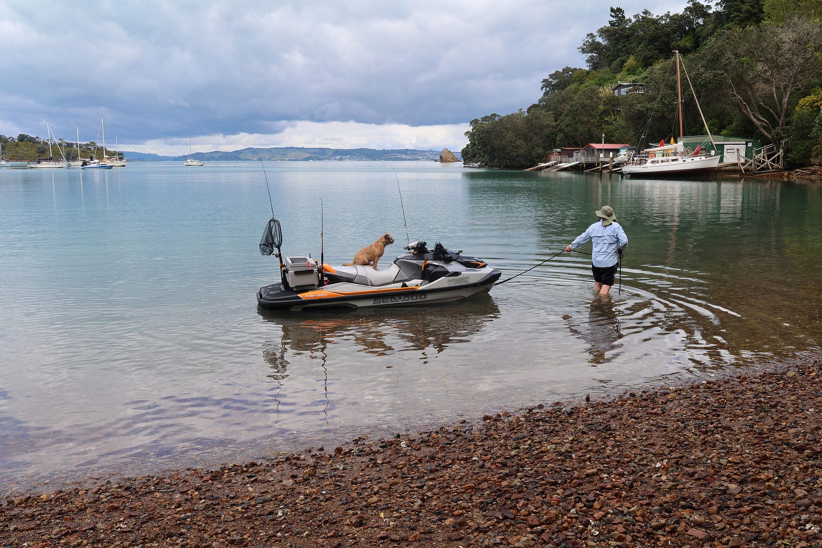
Here’s another photo from Ōmiha, a place where nothing much ever seems to happen!
The south side of the island also sports the following notable reserves:
+ Te Matuku Bay Scenic Reserve, between the two southernmost headlands on the island, accessible by Orapiu Road. The bay itself is part of the Te Matuku Marine Reserve.
+ Whakanewha Regional Park, where the sun sets over the waters of Whakanewha Bay (Rocky Bay) and Ōmiha Bay.
At the eastern end of the island, it’s also worth visiting Stony Batter, which has attractive natural rocks and World War II fortifications (and another vineyard).
Here’s a popular song about Waiheke Island, by The Gypsy Pickers.
The Gypsy Pickers used to play at an Onetangi beachfront venue called McGinty’s, later replaced by an upmarket beachfront development.
So much for the old Waiheke, at least on that side of the island!
For more on Waiheke Island, see Tourism Waiheke: tourismwaiheke.co.nz/ and fullers.co.nz/destinations-and-experiences/destinations/waiheke-island.
And, for the island’s many remarkable walks, walkwaiheke.co.nz.
The other great café-tourism island is Kawau Island, well to the north, which you get to by a ferry from Sandspit, near Warkworth. Currently operated by Kawau Cruises, the ferry charges an adult walk-up price of $85 return plus a $10 Diesel surcharge for the time being (though a ten-trip ticket works out at only $37.70 per return trip, plus surcharge).
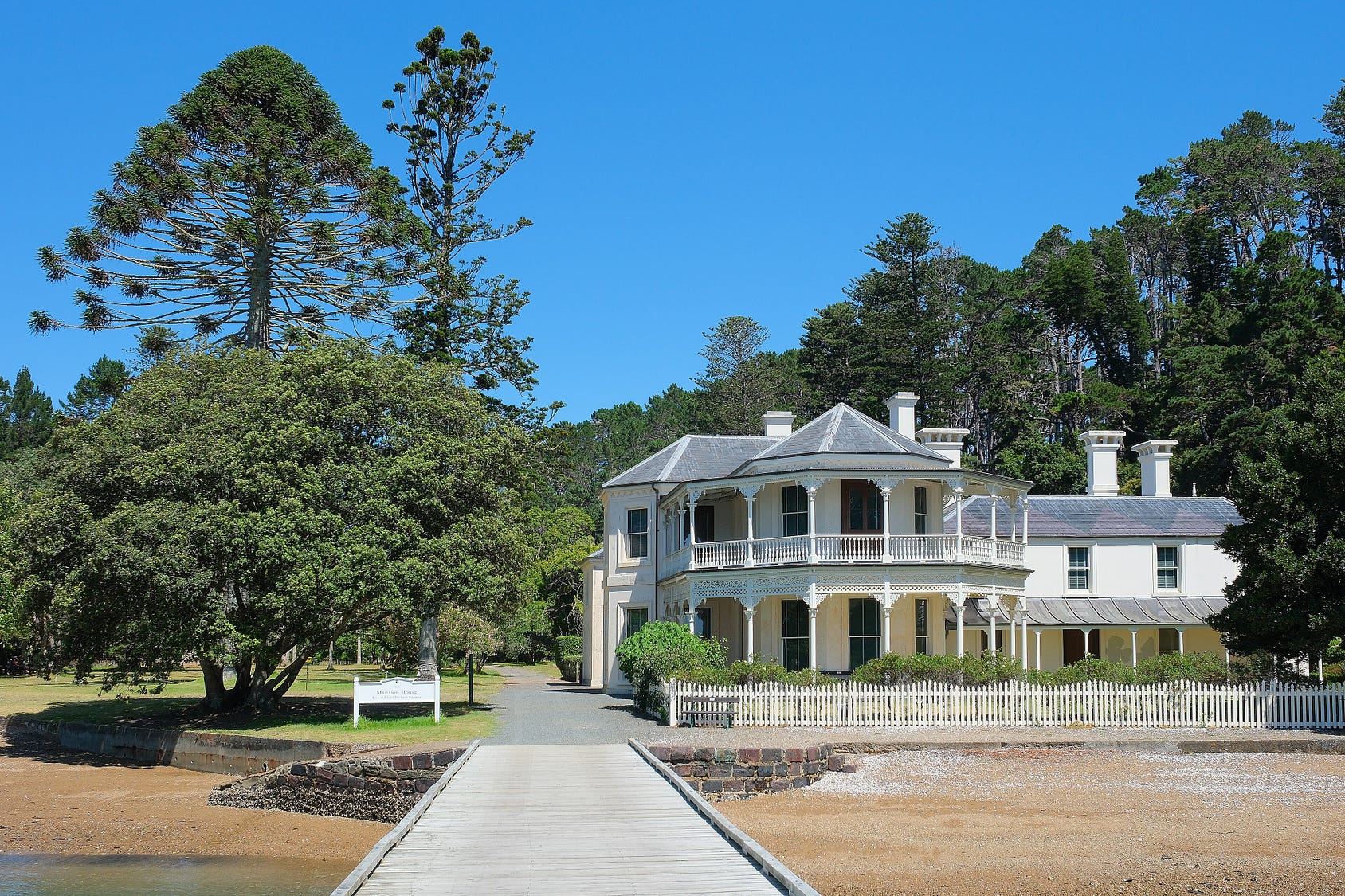
The ferry drops you off at the historic Mansion House, at one time the residence of New Zealand’s long-serving nineteenth-century governor Sir George Grey.
Here’s a famous photograph, taken around 1870 or 1871, of Sir George Grey and his adopted niece, Annie Thorne George, in the drawing room at the Mansion House.
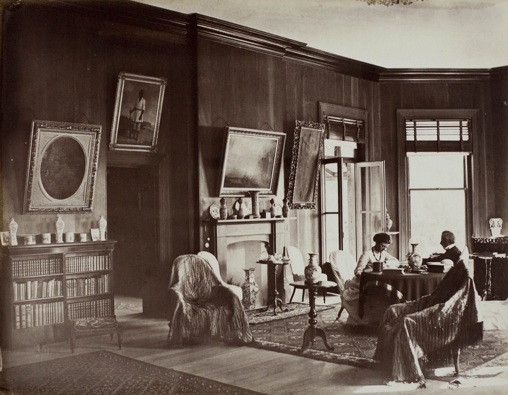
A couple of the chairs are draped in Māori cloaks, and on the wall there is an 1862 portrait of a Māori warrior, Hāmi Hōne Rōpiha (also known as John Hobbs), who served as Grey’s equerry, a sort of personal attendant and bodyguard. As Grey spent much of his time in New Zealand waging war against Māori who resisted colonial encroachments onto their lands, he must have trusted Rōpiha rather a lot.
The island still retains something of a Victorian ambience, complete with an exotic semi-tropical garden and a menagerie of peacocks and other creatures, plus part of Grey’s collection of colonial artifacts.
The Mansion House includes a café and light restaurant: so, just as in Grey’s time, you won’t be roughing it.
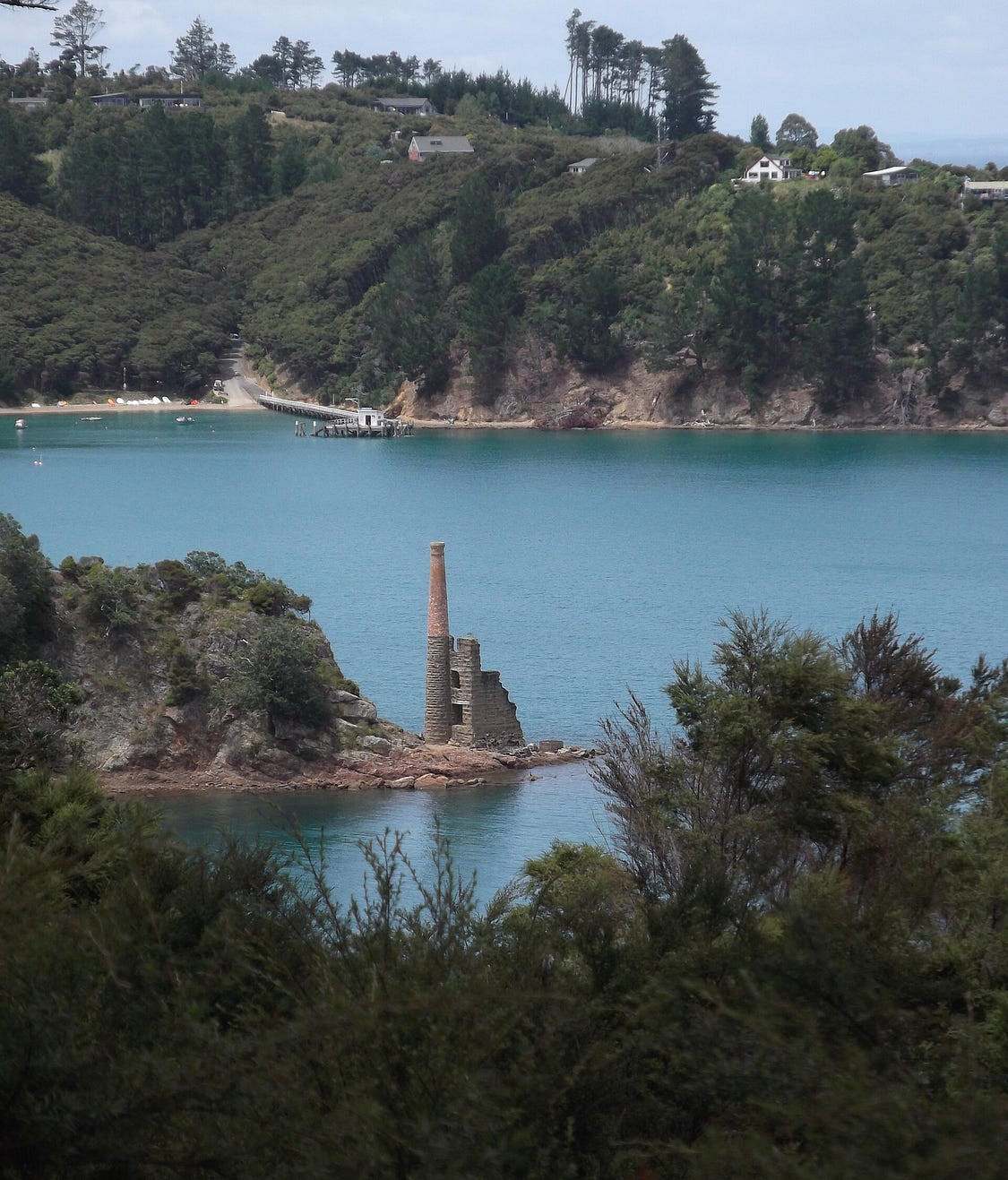
Before the Grey era, Kawau Island was the site of a copper mine. Indeed, the Mansion House was first erected in 1845, in an initially smaller and more modest form, for the mine’s manager. The remains of the mine are still there, and are the other big historical attraction.
Although more people go to Waiheke Island these days, Kawau Island was, for a long time, Auckland’s premier getaway island, as you can see from the following film, made in 1947.
If you liked this post, check out my forthcoming book about the North Island of New Zealand, soon to be available from my website a-maverick.com.
Subscribe to our mailing list to receive free giveaways!

