Giveaways
FROM Langtang, I returned to Kathmandu. After spending a bit of time there, and exploring the nearby historic town of Bandipur, all of which I will blog about a bit later, I hopped on a local bus to Pokhara, a popular tourist city 140 km west-northwest of Kathmandu.
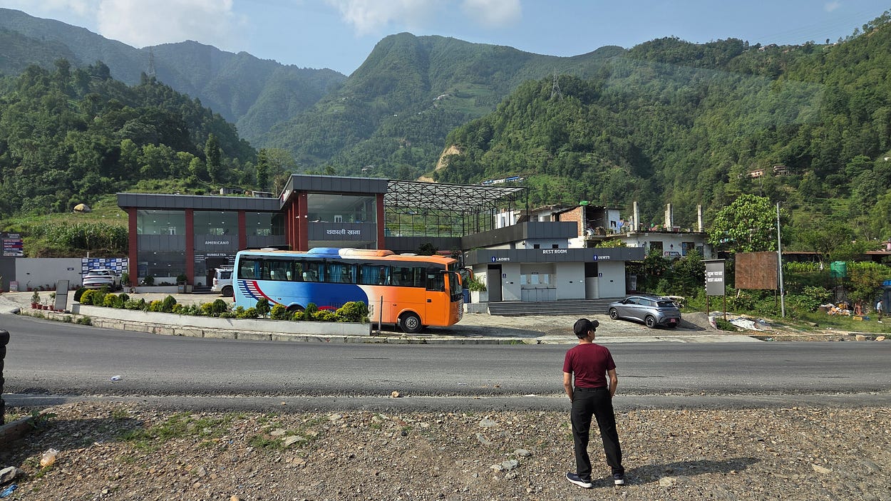
Just as Kathmandu is south of the Langtang National Park, Pokhara is the gateway to the Annapurna Conservation Area, named after the great mountain massif of Annapurna.

One of Annapurna’s peaks was the first above 8,000 metres to be climbed by anyone. That was accomplished by a French expedition in 1950, roughly two years after Nepal, which had long been a sort of hermit kingdom, began opening its borders to foreign tourists and mountaineers.
From Pokhara, you can hike trails in the foothills of the Himalayas, all the way up to the Annapurna Massif.
Pokhara sits next to a beautiful lake, Phewa Lake, which adds to its attractions.
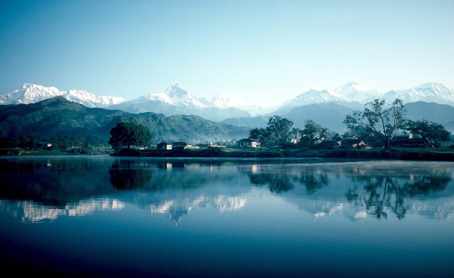
I would have got a photo like that last one myself, except that I had arrived a couple of days before May became June. This is the time of year when the storm-clouds of the coming monsoon first start to gather. And so, the peaks were often hidden, though I did get some good shots in the end.
(Oddly enough, this was also the time of year when Edmund Hillary and Tenzing Norgay finally conquered Everest in 1953, five years after climbers had been allowed into Nepal: they were cutting it fine with the weather at the time, and they knew it.)
Meanwhile, I made the most of Pokhara, staying in a lovely hostel near Phewa Lake called the New Annapurna Guest House, where they grow much of their own food and even their own coffee beans.
The lakefront was a great place to be, with lots of restaurants, places to be, and things to do, including boats and hiking trails.
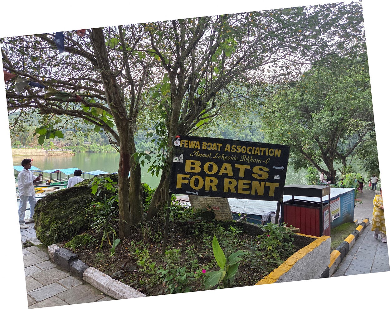
There was a hiking trail along the lakeshore, and hiking trails to at least two lookouts above the lake, both of which I visited.
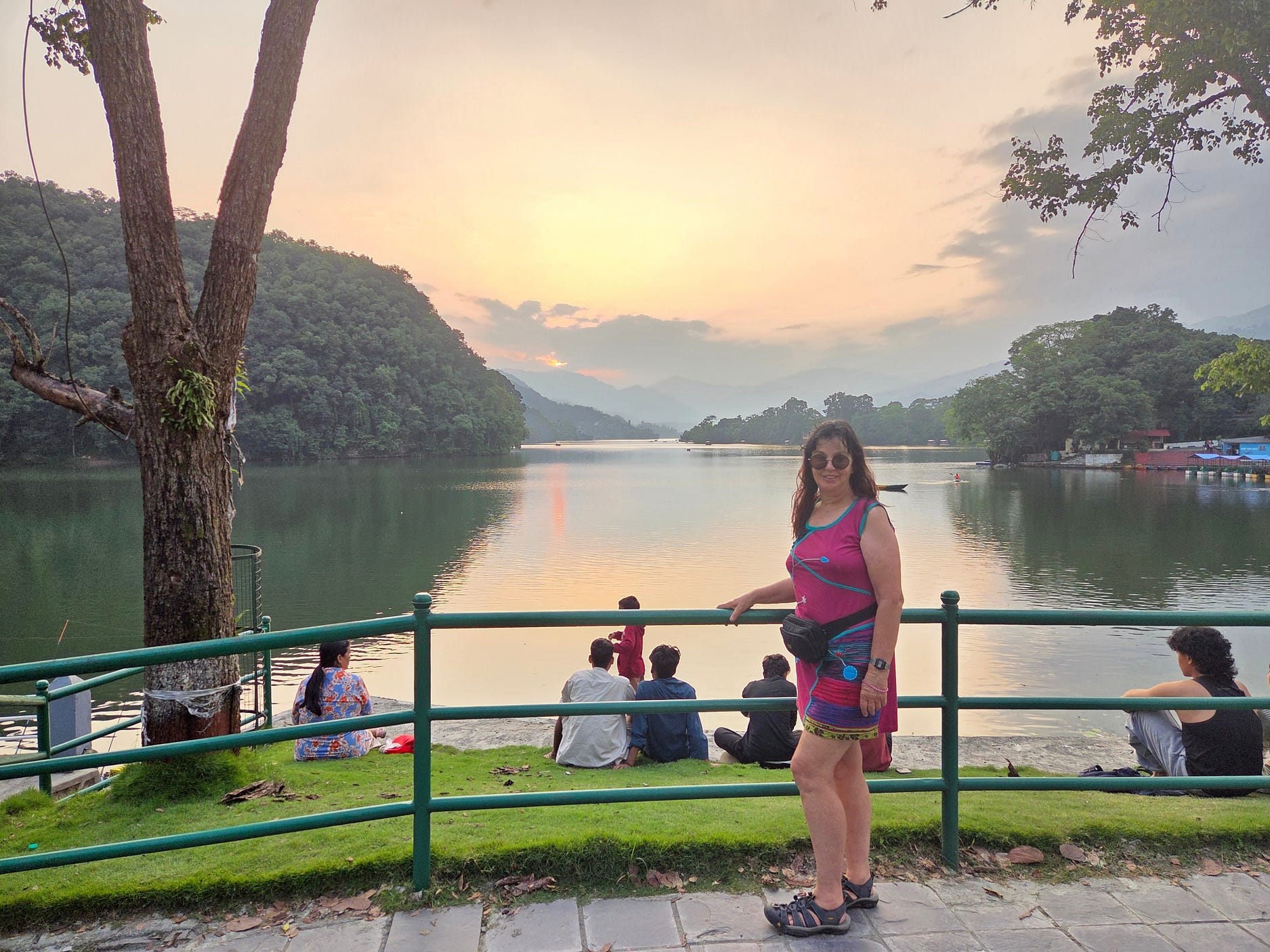
One lookout is in a suburb north of Phewa Lake called Sarangkot, where the Panchamukhi Ganesh Temple, with a massive five-headed statue of the Hindu god Lord Ganesh, commands the view from the top.
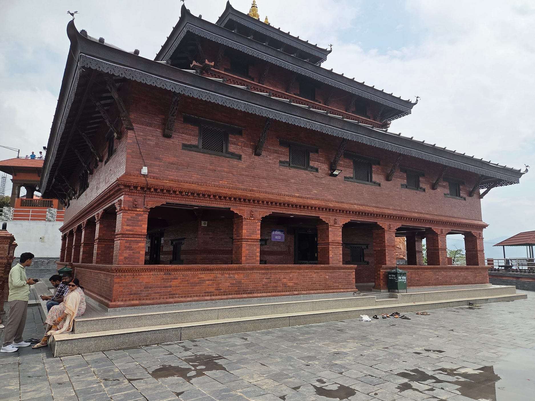
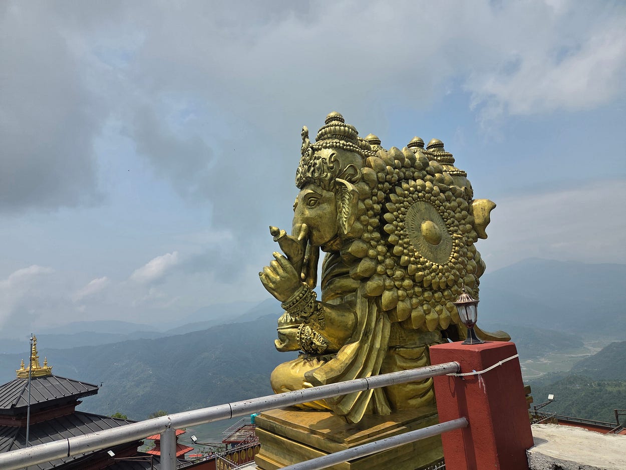
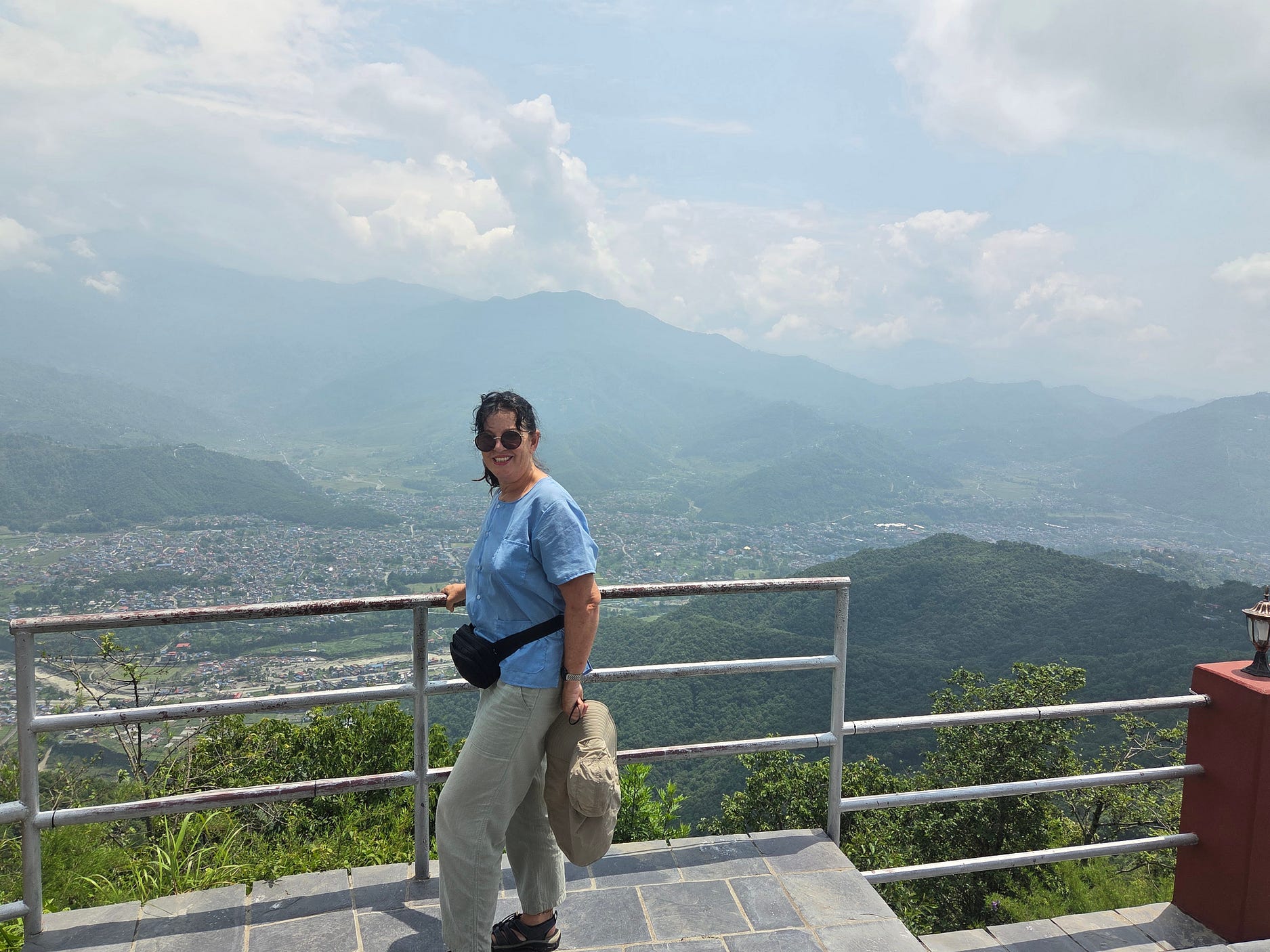
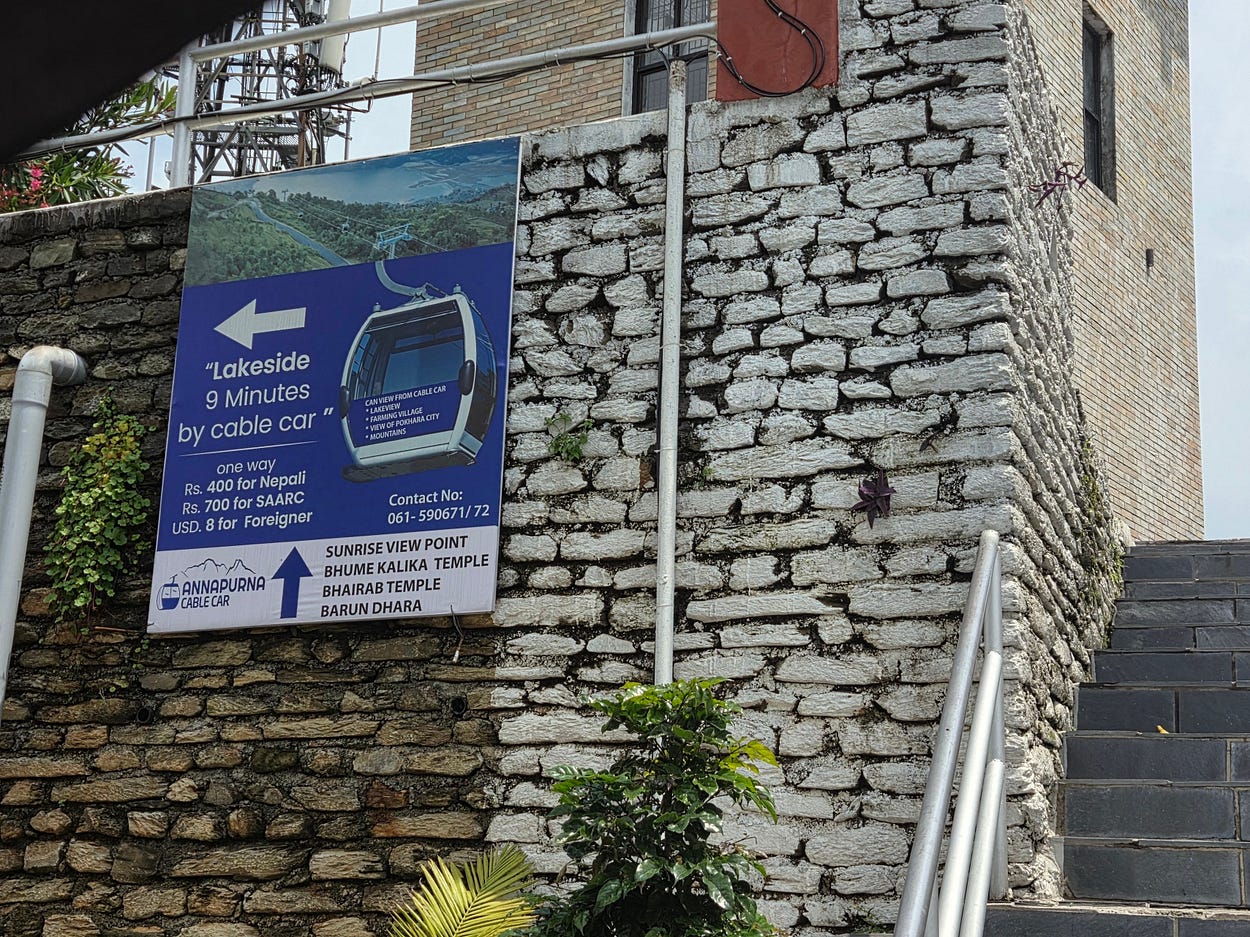
You can get to the Sarangkot Summit by the Annapurna Cable Car.
On the south side of Phewa Lake, the World Peace Pagoda, also known as Shanti Stupa, stands on Anadu Hill.
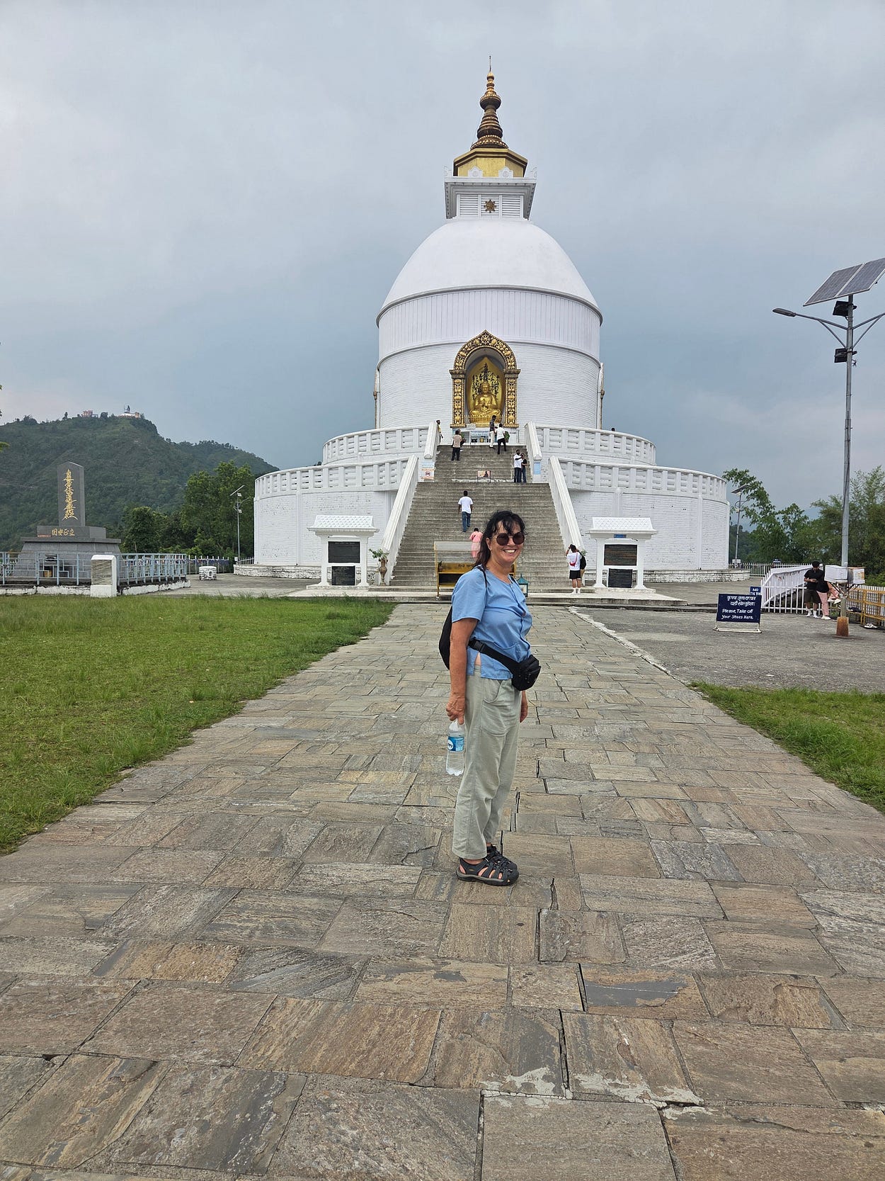
From here, too, the view is amazing.
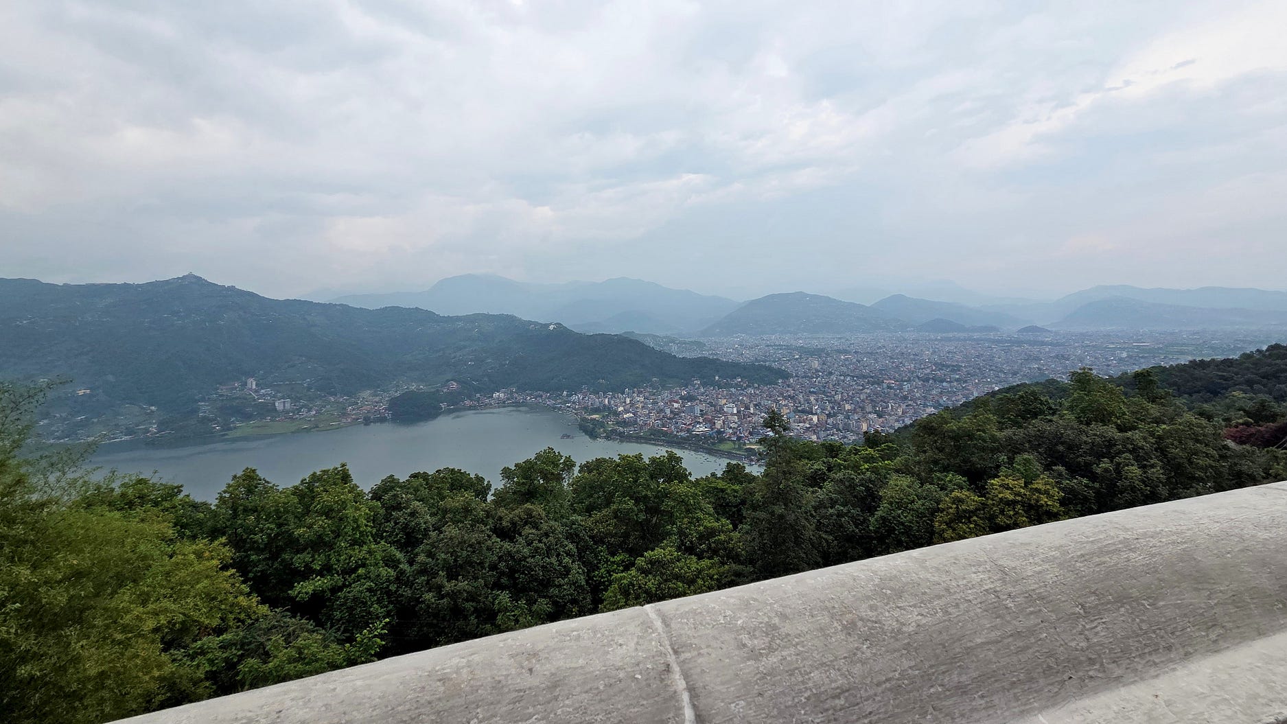
These days, Pokhara is quite a big city, but in 1950, it would have been tiny. The rapid growth of cities is a big issue in Asia, just as it was in Britain during the Industrial Revolution.
Nepal is a country in transition, and it seems different every time I go back.
I also visited the International Mountain Museum, founded by Nepal’s mountaineers, which opened in 2004.
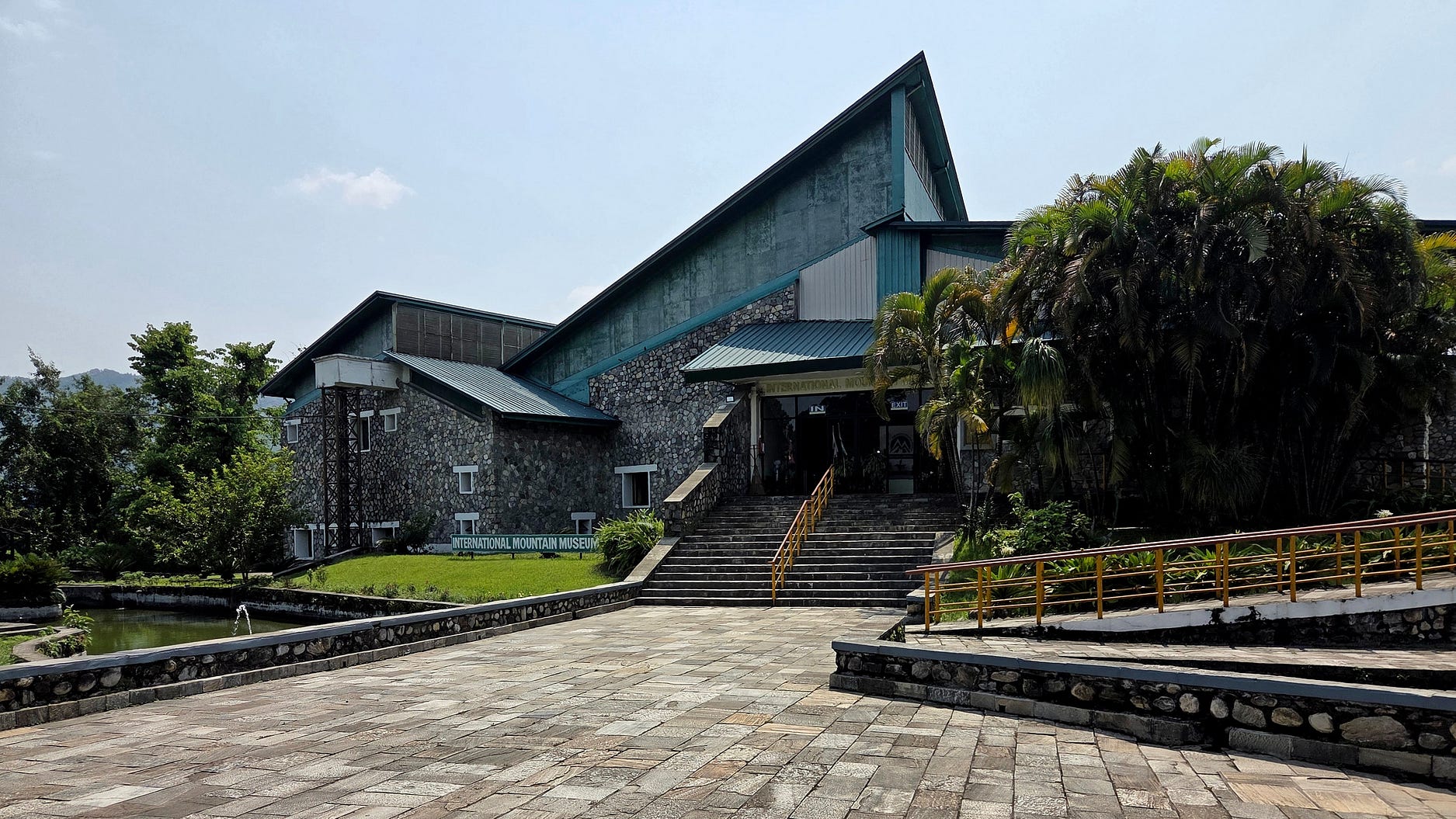
The path to the museum leads past a memorial to mountaineers who have lost their lives.

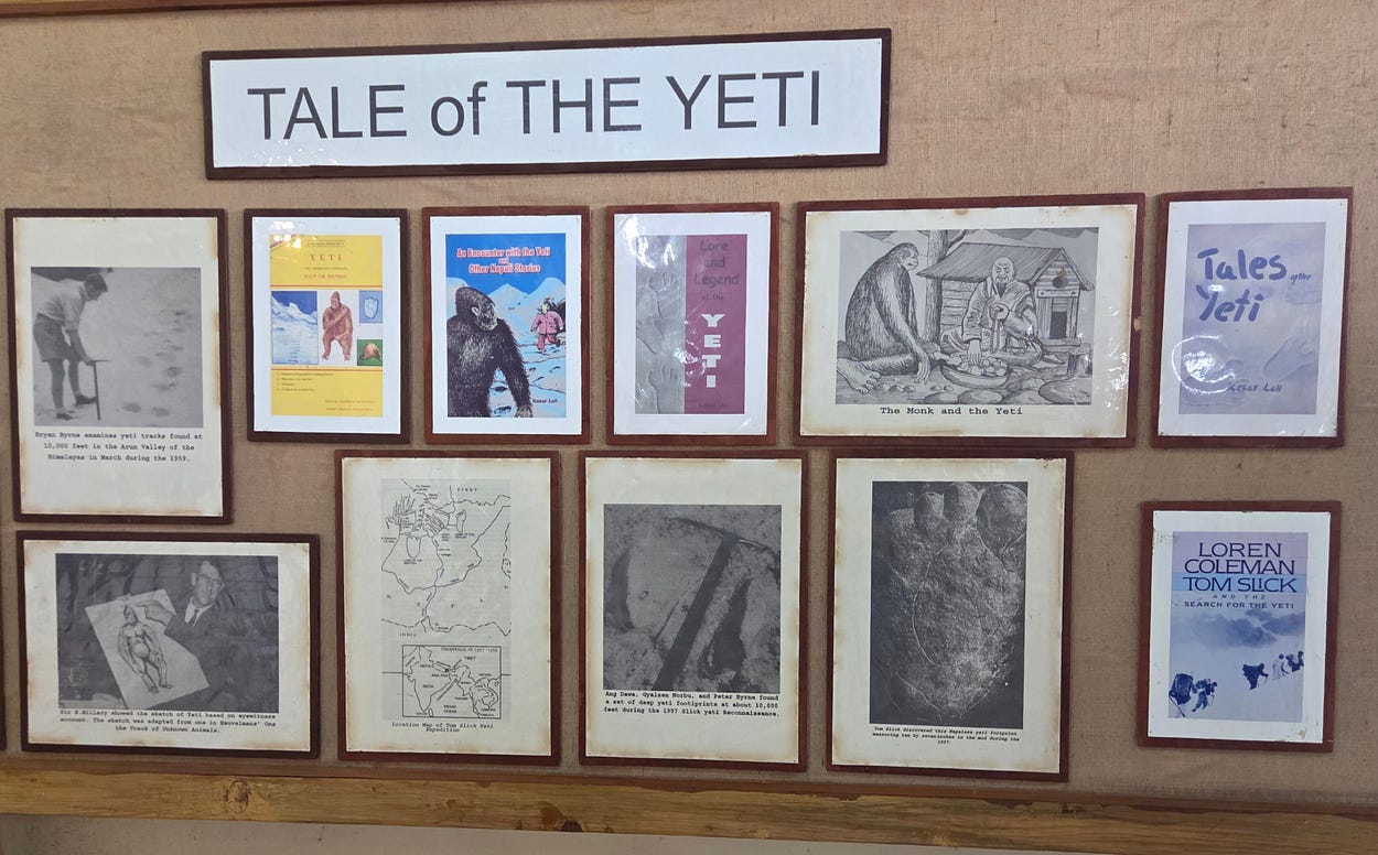
The International Mountain Museum had a great many displays, which covered not just the nuts and bolts of climing and geology of the mountains, but the social history of mountaineering and hiking, as well as local folklore such as the Yeti, or abominable snowman, which might simply be a bear.
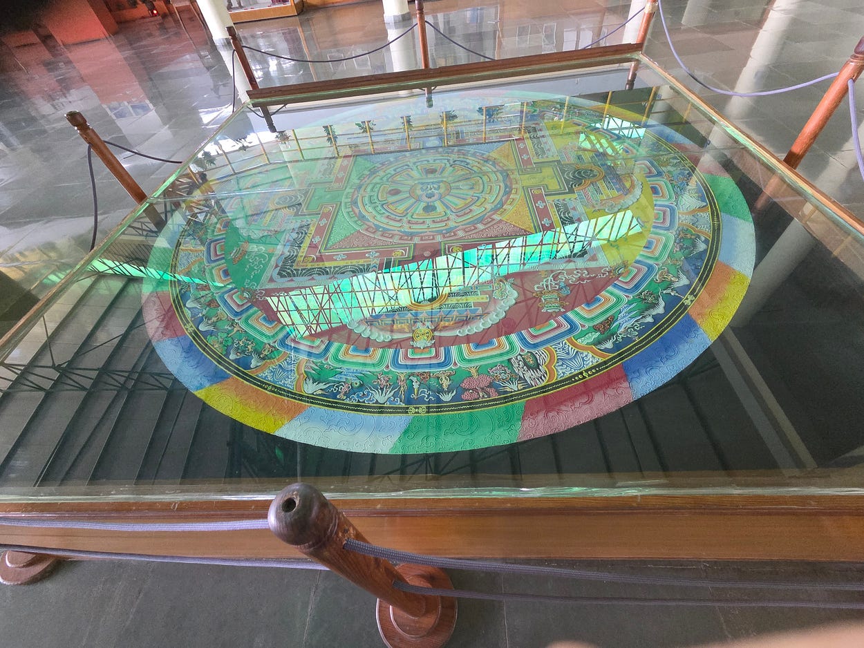
And a colourful Buddhist sand mandala.
The museum described the crucial role of the porters, mostly drawn from indigenous mountain people such as the Sherpas and Tamangs.
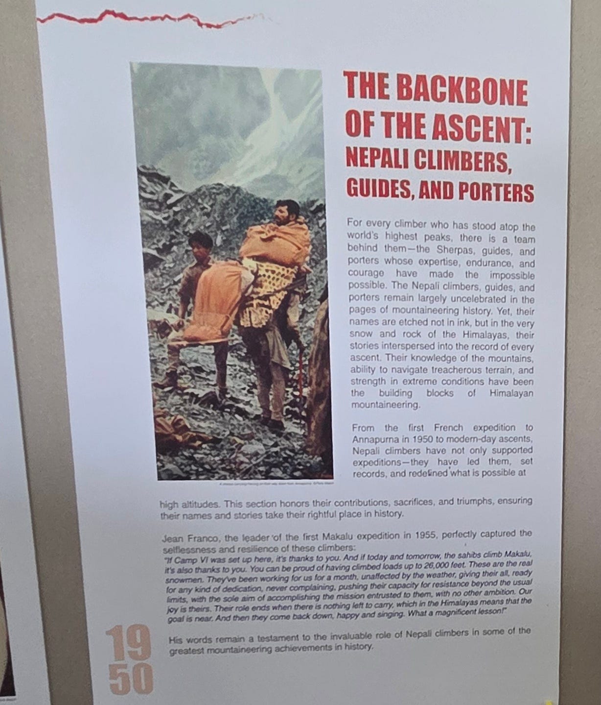
The photograph in the information panel just above reminds us that, in the days before helicopters were common, mountaineering and even trekking rescues were often epic expeditions in themselves, especially if the person being rescued could no longer walk. This porter must have been strong; another method was to strap the sufferer to a door and somehow lug it down the mountain with the aid of two or three people.
Until a thousand or so years ago, Nepal was mostly inhabited by the ancestors of the Sherpa, Tamang, and kindred peoples whom I have just described as indigenous. These peoples speak languages related to Tibetan and, more distantly, to Chinese, and their religions are mainly the Tibetan or Chinese ones of Buddhism and Taoism.
The lowlands of Nepal gradually became colonised by an overspill of population of from India, a highly crowded country even in those days, and the indigenous peoples largely got pushed up into the hills: a very common pattern in Asia wherever hills overlook thickly populated lowlands.
Today, the majority of the Nepalese speak Nepali, a language closely related to such languages as Hindi in India, Urdu in Pakistan, and Bengali in Bangladesh, and, distantly, to the majority of European languages, English included.
The name Nepal originally referred to the indigenous peoples and their land, but was soon appropriated by their colonisers, in much the same way that the term ‘New Zealander’ originally just meant the Māori but soon came to apply to a mostly British population.
There were displays in the museum about this history of colonisation, which also explains why there was an Indian-style Hindu temple on a hill on one side of Lake Phewa, and a Buddhist stupa on a hill on the other side.
The following map, from the museum, shows the distribution of ethnic groups in Nepal, which is a real patchwork quilt.
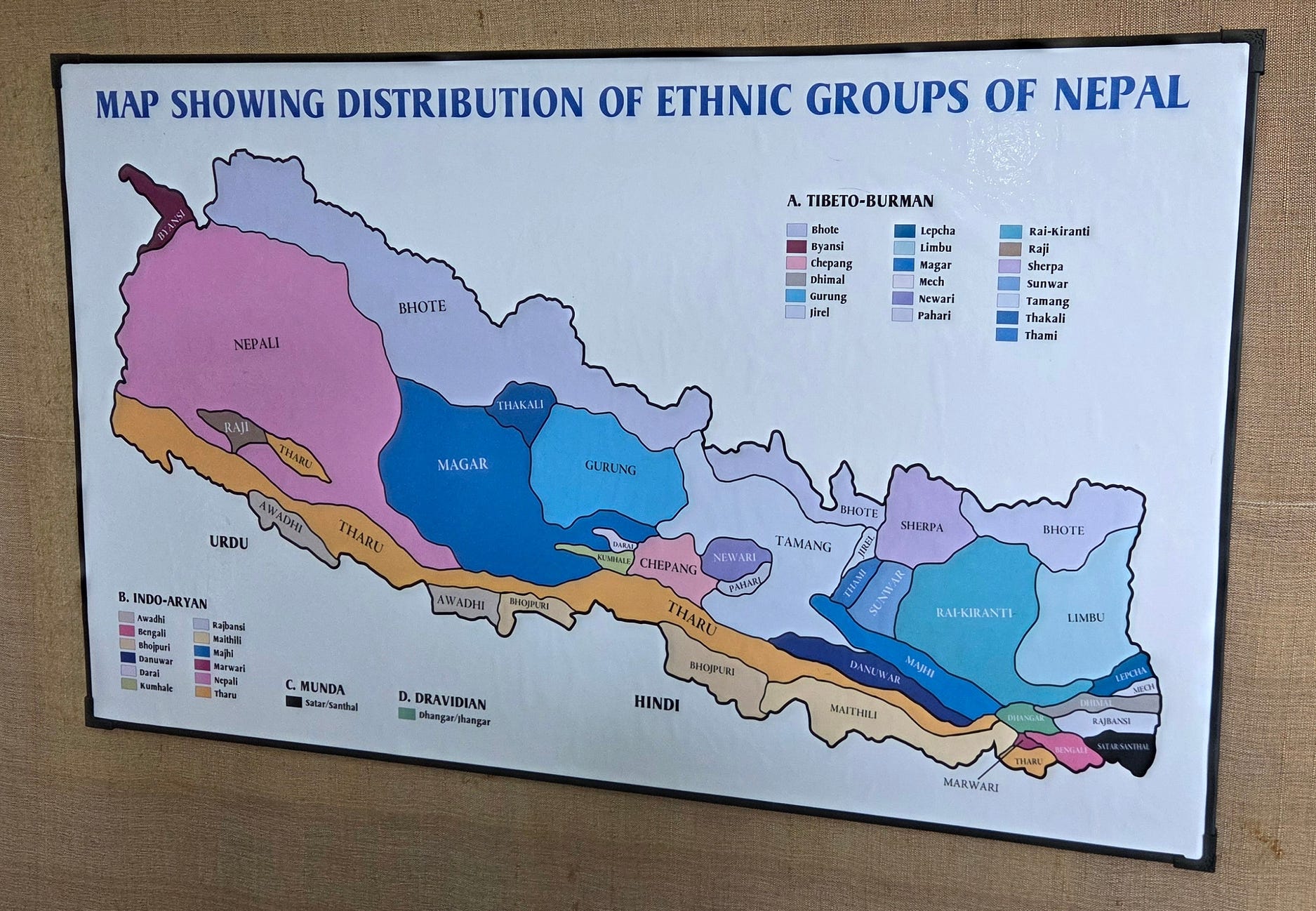
The ‘Tibeto-Burman’ are the indigenous populations, while the peoples called ‘Indo-Aryan’ are the ones who migrated to Nepal from neighbouring provinces of India. The Munda also come from India but speak languages resembling Vietnamese; while the Dravidians are another distinct people from southern India.
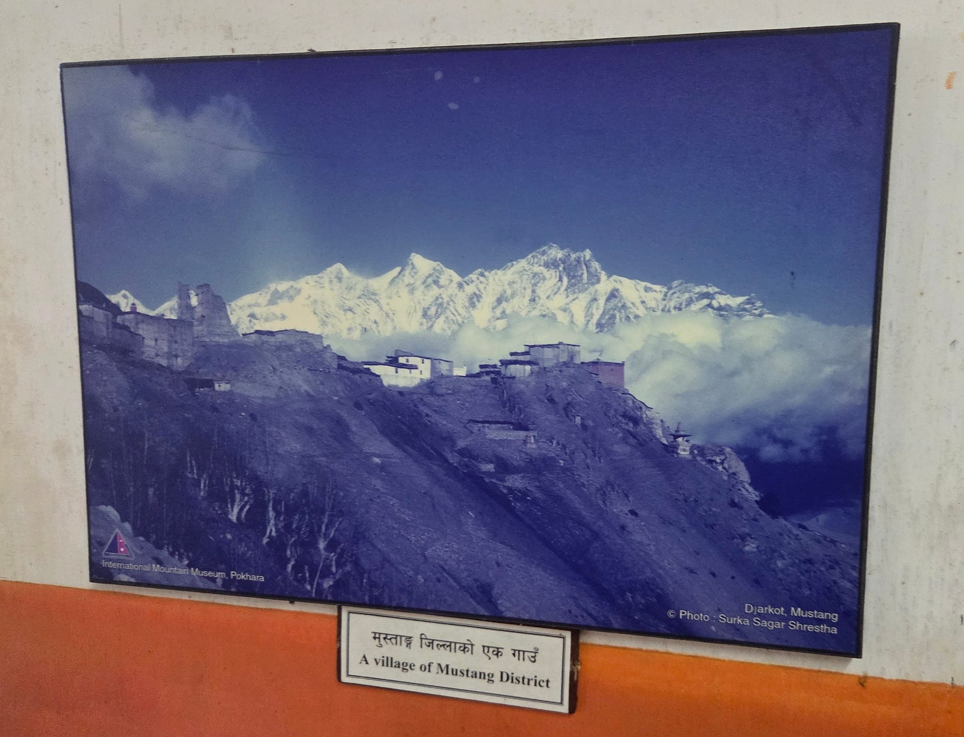
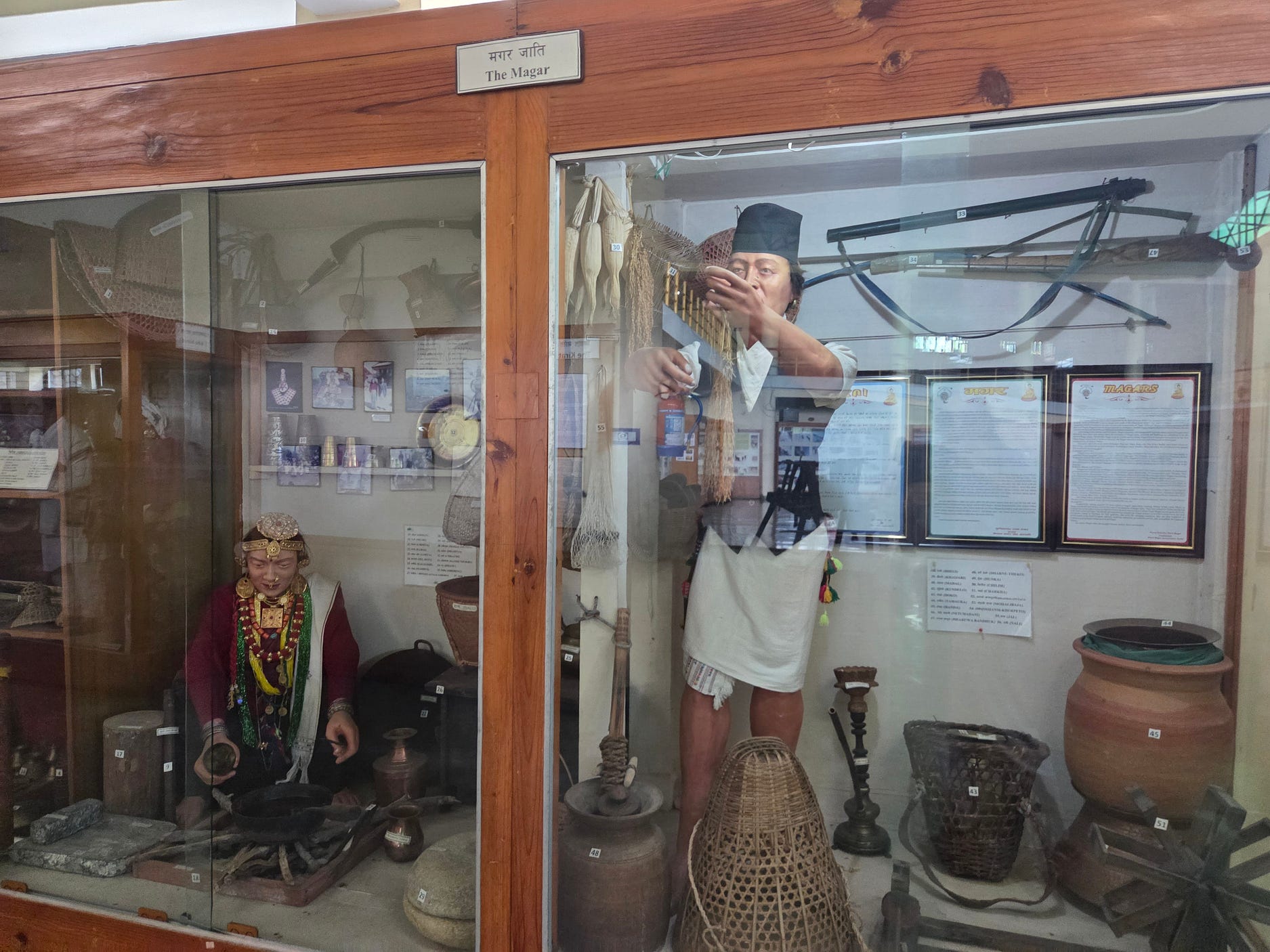
These displays were in the Hall of Mountain People, which also included displays showing the way of life of various mountain clans in Nepal.
Other displays in the Hall of Mountain People compared Himalayan mountain-village ways to those of Alpine dwellers in Europe. Ways that apparently weren’t so different, at least in the old days.
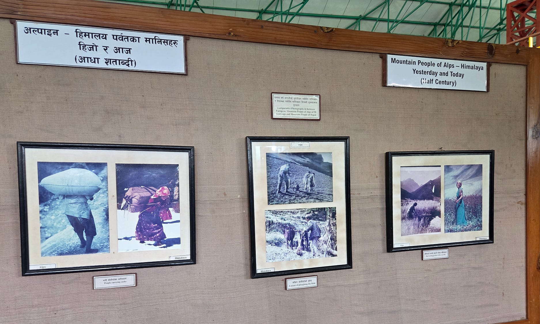
The argument seemed to be that Nepal was, in some respects, where European Alpine countries like Switzerland and Austria had been a few generations ago.
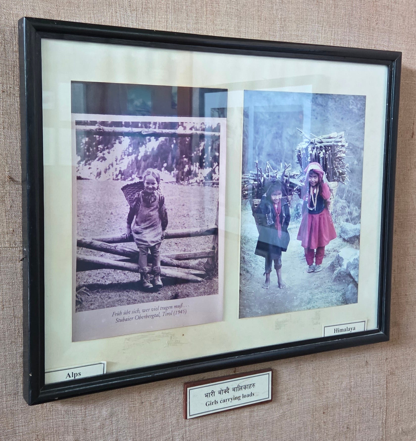
I got the impression that the Nepalese thought the old ways were dying out in the face of progress, and that these folkways therefore needed to be documented in museums before it was too late.
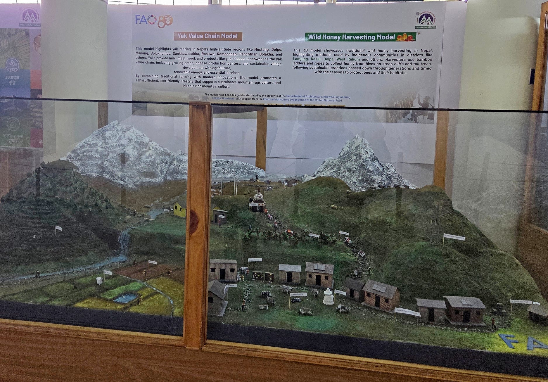
The next display describes current methods of generating income in the mountains, other than from trekking and tourism.
There was also quite a bit about early, pre-Hillary and Tenzing attempts to climb Mount Everest (known locally as Sagarmatha and Chomolungma). These early expeditions had to go in from the Tibetan side, as the Nepalese side was still closed in those days.
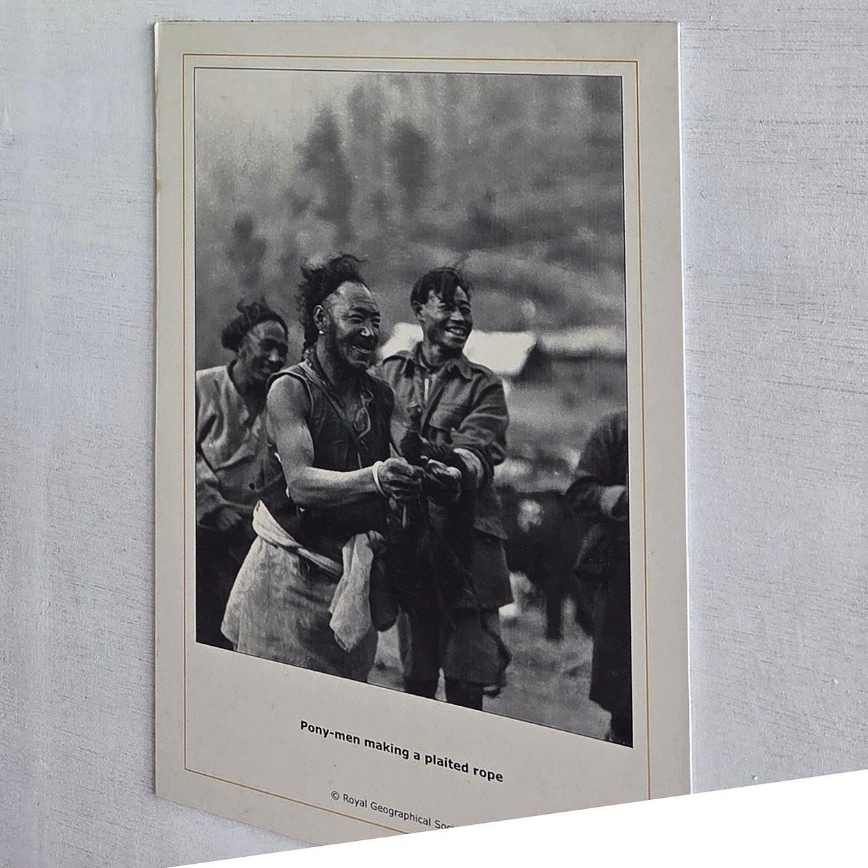
In the next photo on display, an expedition member named Noel Odell is riding one of the animals maintained by the pony-men.
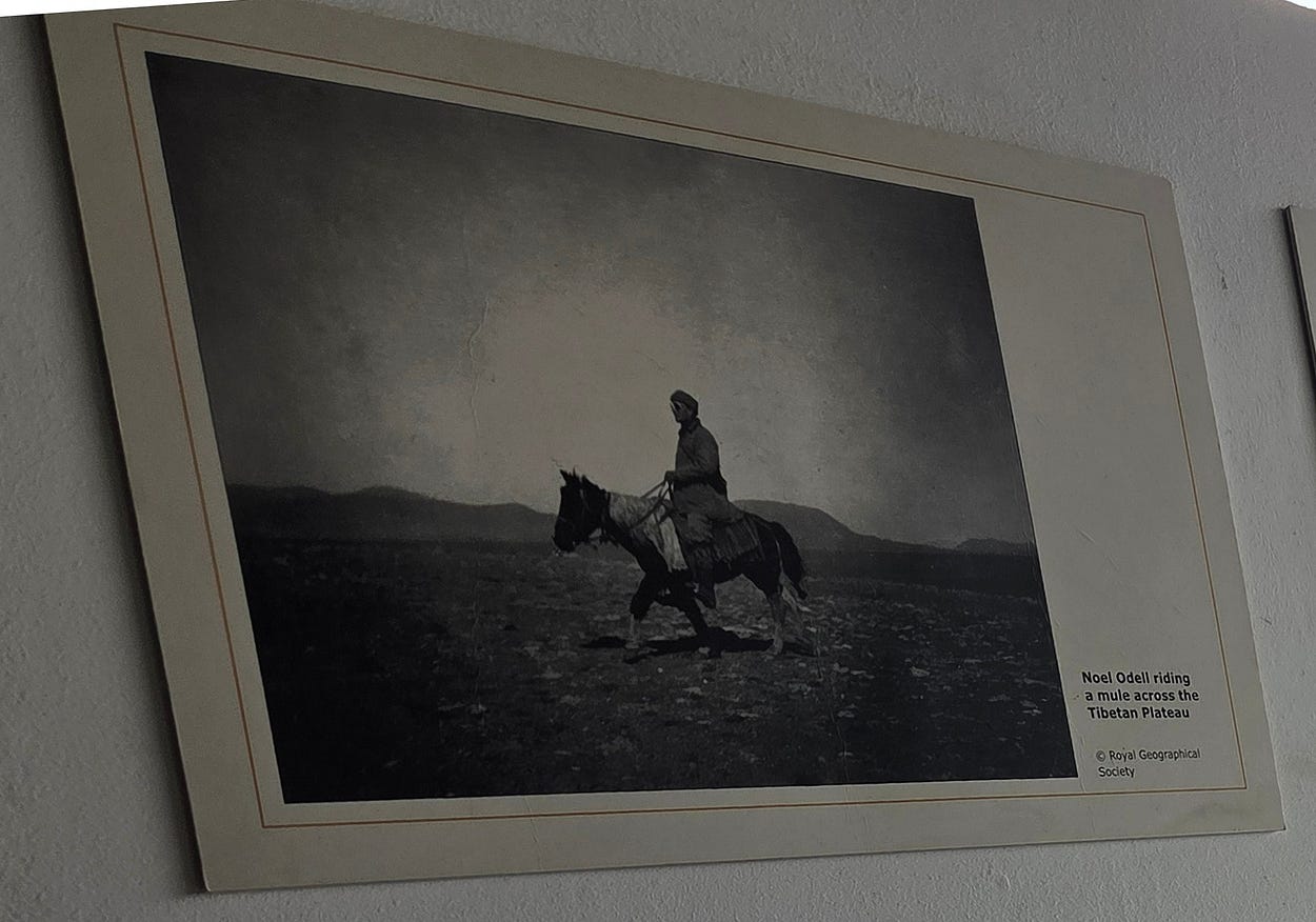
These, and many other historical images of exploration and mountaineering, can be obtained as good copies from the Royal Geographical Society, here.
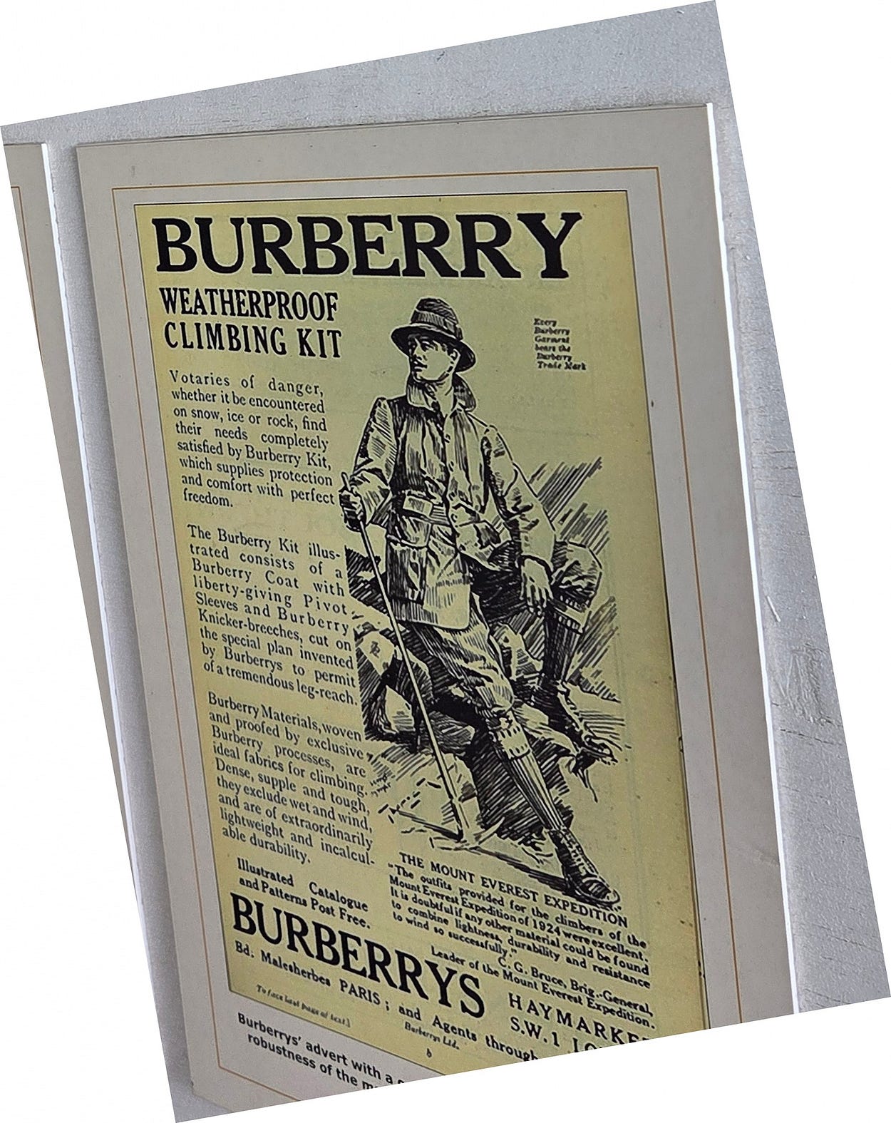
The climbing gear of those times seems to have been rather primitive by later standards: perhaps more the sort of thing a person might have worn for a ramble in Scotland.
Here’s another display about the organisers of a 1922 expedition.
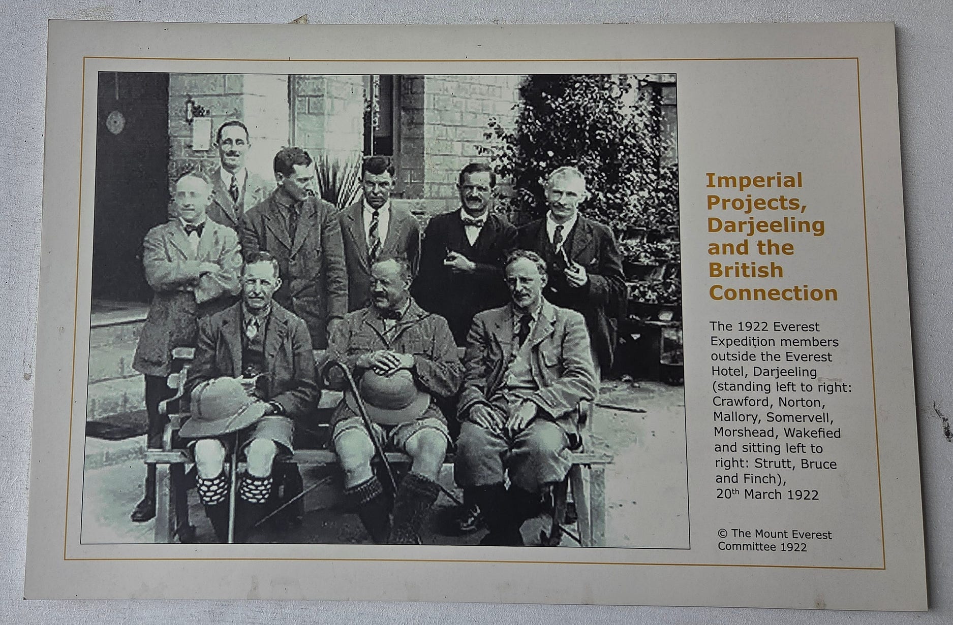
George Mallory, one of the people in the 1922 expedition photograph, was to perish with climbing partner Andrew ‘Sandy’ Irvine quite close to the summit of Everest in 1924. Mallory and Irvine were last seen through a gap in the clouds, near the top and climbing strongly. Their bodies were later found below where they were last seen climbing, so people have wondered ever since whether they managed to get to the top after all, almost thirty years before Hillary and Tenzing’s official first in 1953.
The tweedy look would eventually be superseded. George Finch, who is also in the 1922 expedition photo above, proposed that climbers in the Himalayas should wear down jackets covered in tough but thin fabric, which he called ‘eiderdown coats:’ an idea that initially met with skepticism. However, Hillary and Tenzing ascended Everest in down jackets in 1953, gear that frankly looked far more serious than tweeds, and this set the tone for what people go up in today.
To round off, along with the threats posed to the old ways by modern life, even the many ancient trails that tourists and travellers have been trekking along since the 1950s are starting to be replaced by modern roads, in much the same way that the thundering motorways of the Canadian city of Calgary are called ‘Trails,’ because that is what they once were.
Ironically, this aspect of Nepal’s modernisation threatens to wreck the prosperity of these regions, since the mountain villages along them — tiny in 1950— have grown greatly from the tourism economy and come to depend on the hikers, who stay in hotels and hostels built over the last few decades and patronise restaurants that also didn’t exist in the old days.
Certainly, there is a need for better roads, as you can see in the following photo.
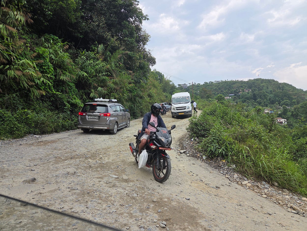
And also from a video I made of my bus ride to Pokhara, where if I had been carrying a pot of cream, it might have turned to butter by the end (that scene is followed by the viewpoint at Sarangkot and one of the displays at the museum.)
Will modern roads bring more development? Or will they kill the goose that has laid so many golden tourism eggs since Nepal opened up to the world?
Next week, I will describe my hike along the trails, some already being turned into roads, toward the Annapurna Massif.
Subscribe to our mailing list to receive free giveaways!

