Giveaways
AFTER the rustic Lama Hotel, where I concluded Part 1, we trudged on uphill in the direction of Ghodatabela and then, ultimately, to the Kyangjin Valley, to the village of Kyangjin Gompa (meaning, ‘Kyangjin Monastery’), and to Kyangjin Ri (‘Kyangjin Peak’), a famous lookout with an upper peak at 4,700 metres above sea level (ASL), and a lower peak at 4,400 metres.
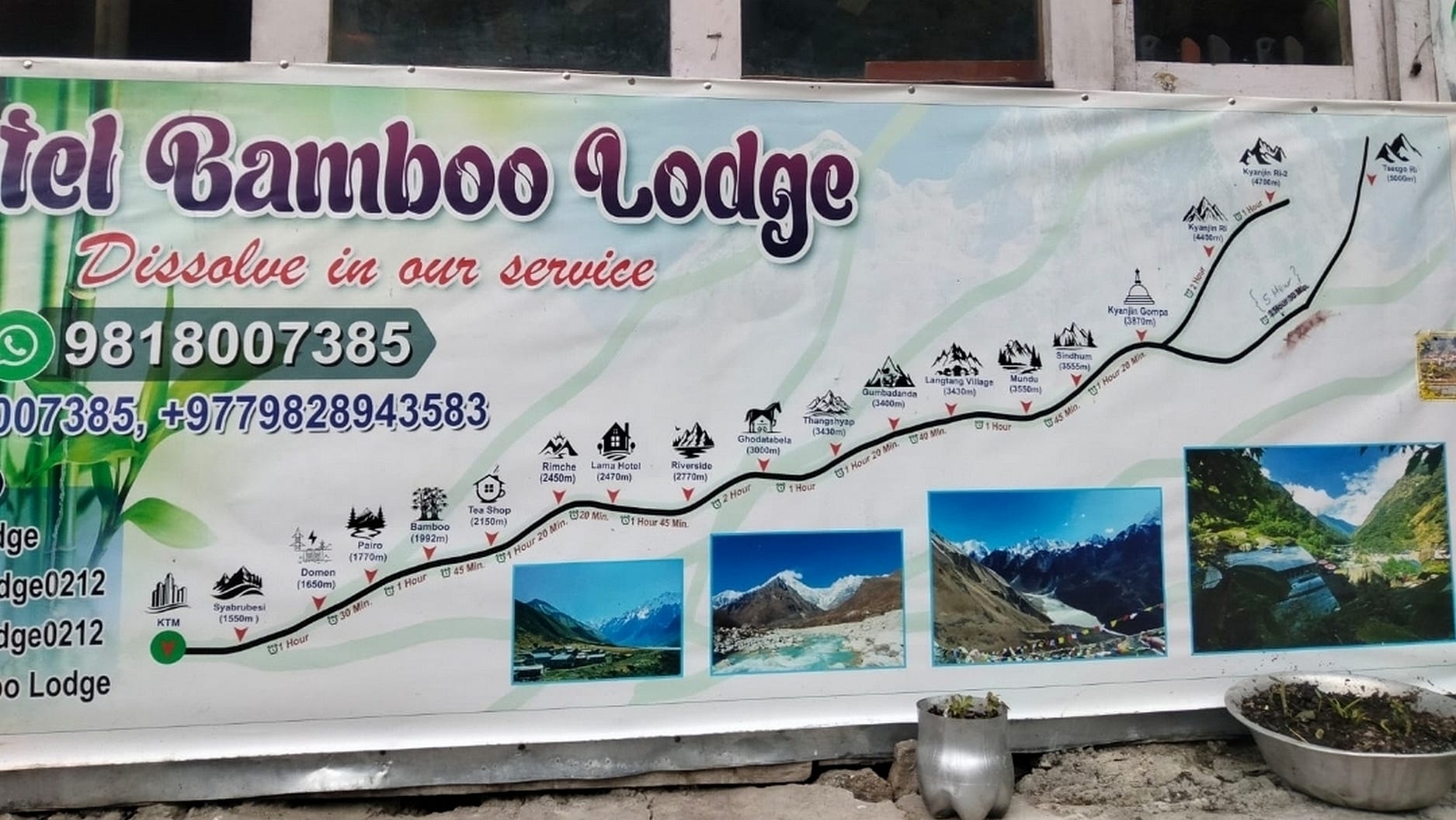
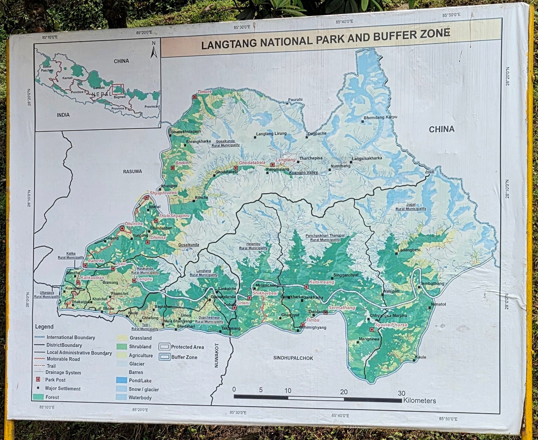
At this altitude, getting on for 3,000 metres at Ghodatabela, the forests were getting ever more temperate in appearance.
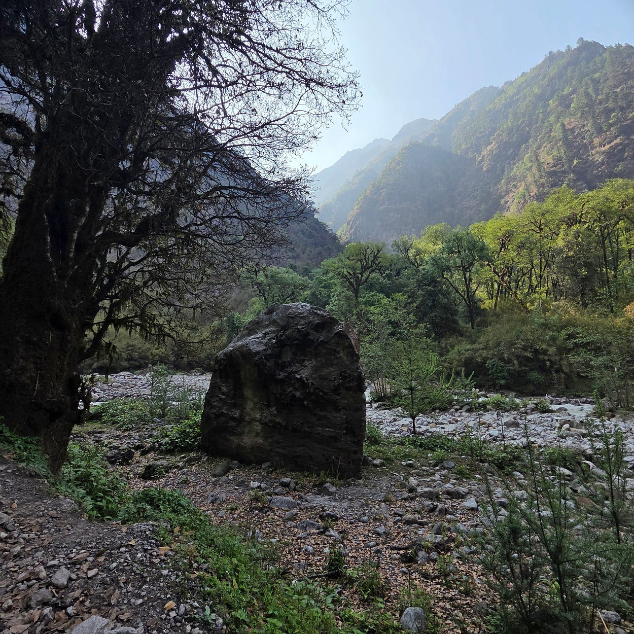
Though it was spring, you could see that some of the trees had an autumn-like appearance.
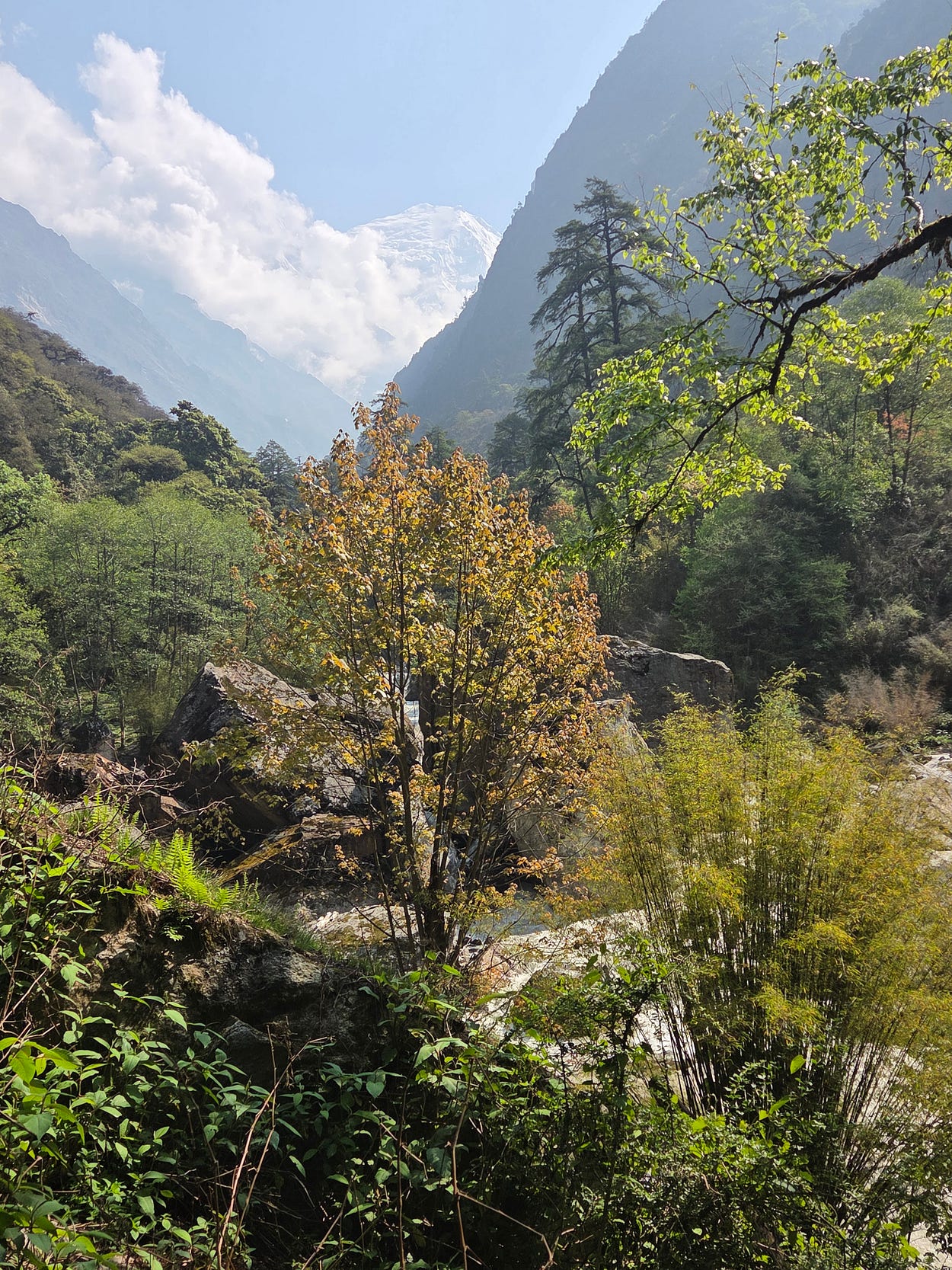
This is because many deciduous trees in these parts shed their leaves in late spring and early summer, to conserve water.
They green up again once the monsoon hits — typically, in June — so we were there at just the right time to experience this strange ‘autumn in springtime,’ not to mention plenty of blue skies.
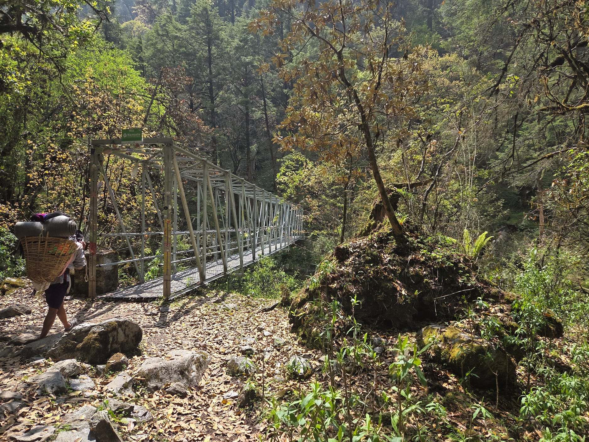
There are also a lot of evergreen trees, which tough it out whatever the weather.
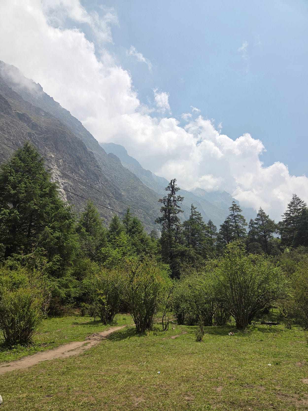
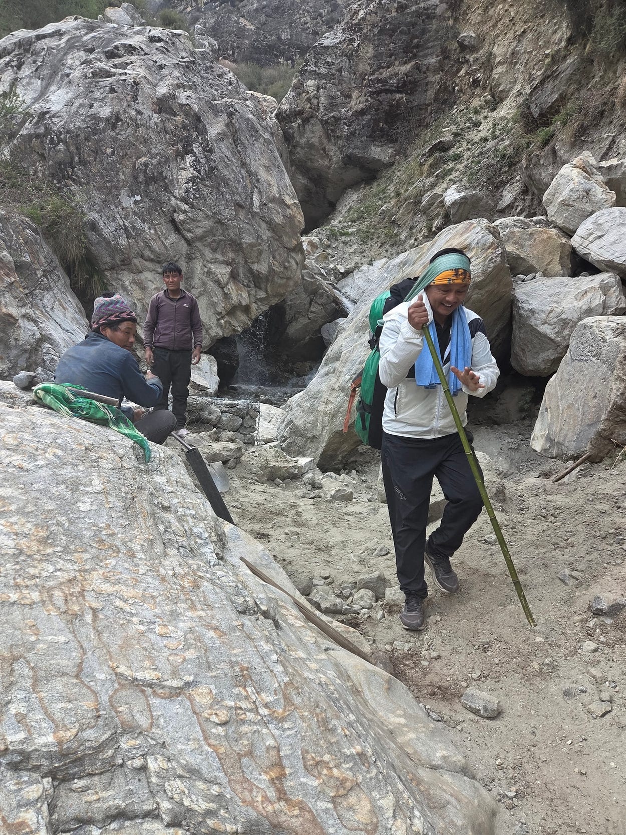
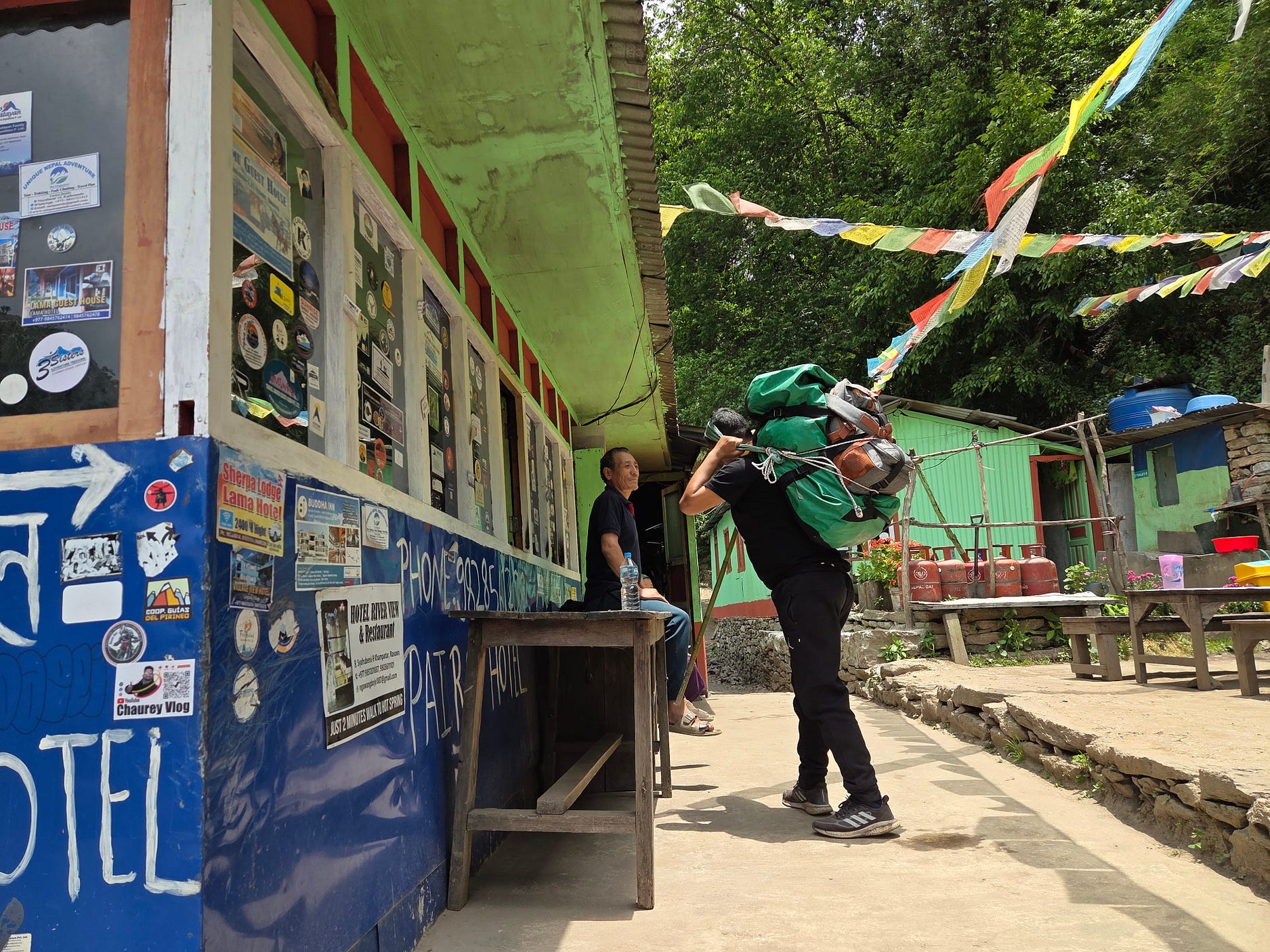
The porters do an amazing job. Some carry heavy loads, it seems, though it is not too heavy if the load mostly consists of bedrolls and warm clothing.
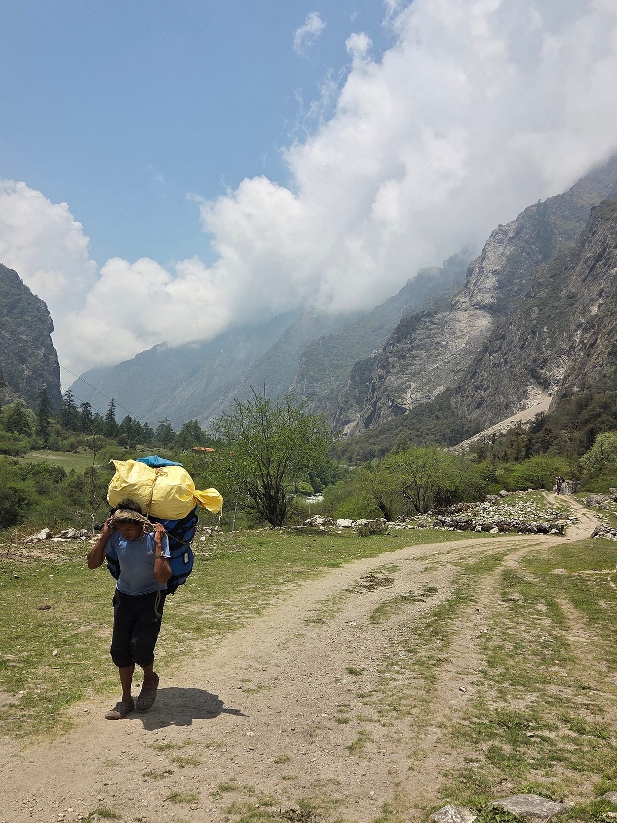
I had hired a porter to carry my backpack, as I just wasn’t up to carrying all my stuff up into the Himalayas; though the two young Australian guys in our party did carry their own backpacks.
I made a video about portering, and about the pack animals that we came across on the trail as well.
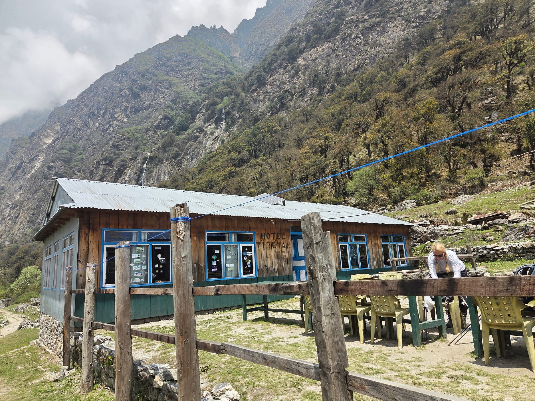
Here is the Hotel Tibetan, at Ghodatabela.
Here’s another place at Ghodatabela, the ‘Lovely Guest House.’
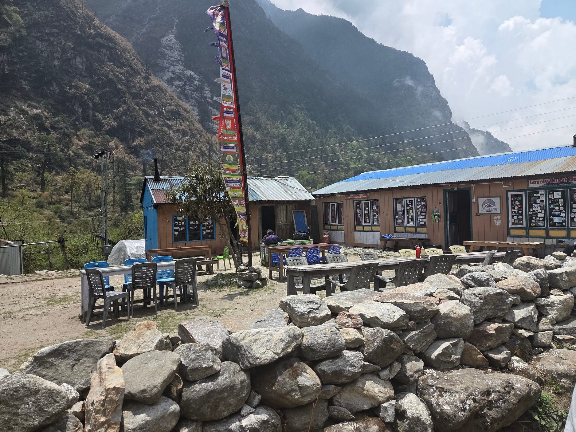
Ghodatabela, also written Ghoda Tabela, means ‘horse stable’ in Nepali and Hindi. It is an ancient waystation, and a good place for hikers and climbers to stop off and acclimatise today, taking advantage of some local hiking trails. It’s possible to do bouldering locally, and to catch sight of local grey langur monkeys, while resting up.
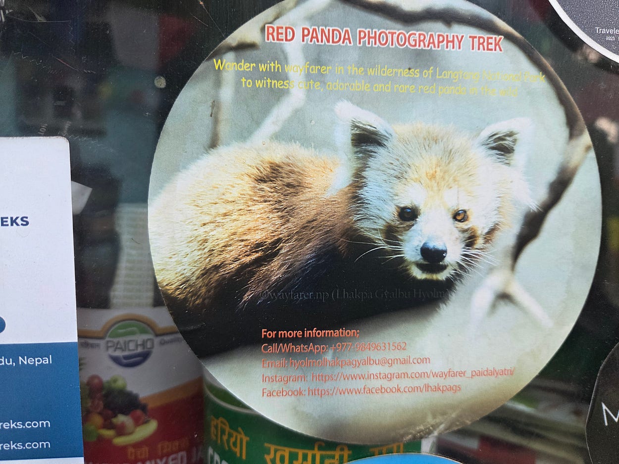
The red panda, a smaller cousin of the giant panda, also lives in the Langtang Valley.
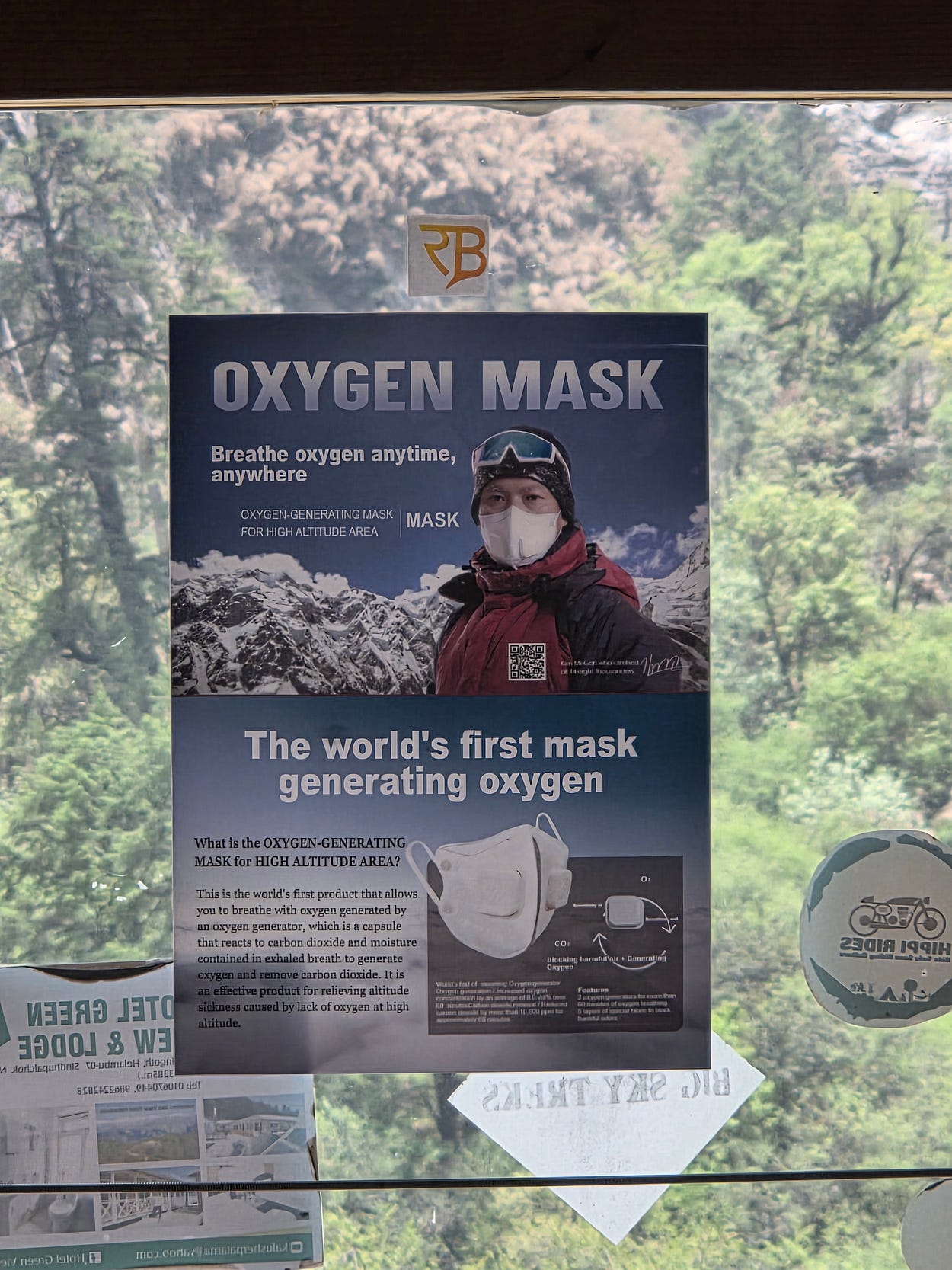
While I was at Ghodatabela, I saw an ad for an oxygen-generating facemask. It presumably uses a peroxide bleach compound, similar to the kind used in nappy-soaking powders and in scuba and submarine ‘rebreathers’, to react with carbon dioxide and moisture in the breath and release oxygen. I don’t think packets small enough to put in a fabric facemask would generate very much, however.
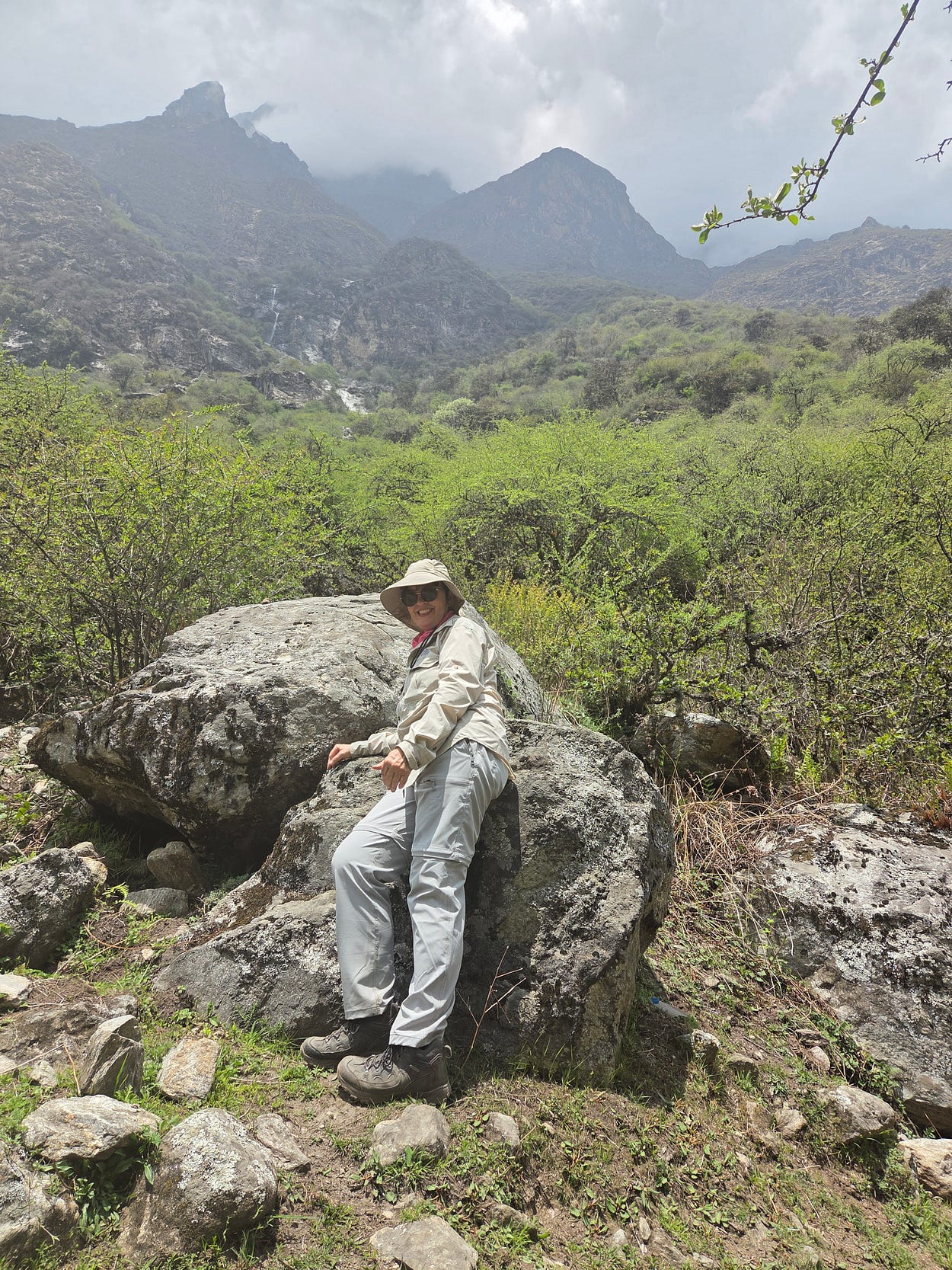
It seemed that, by now, the forest was giving way to scrub, though there were still a few small trees around.
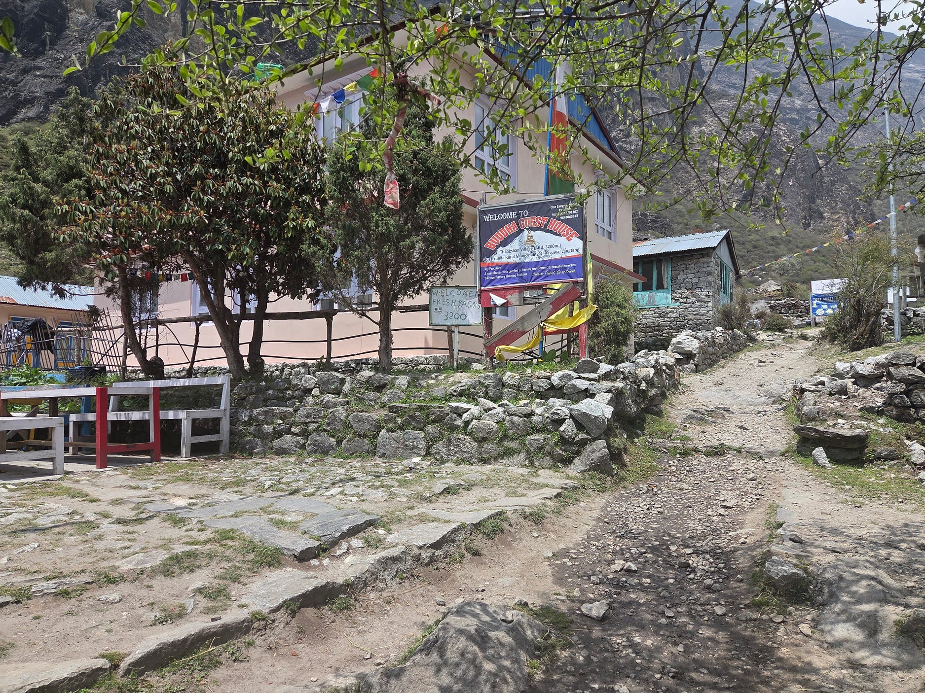
The next photo shows the Buddha Guest House at Thangshap or Thangsyap Village, between Ghodatabela and Lantang Village, which was destroyed by the 2015 landslide from Langtang Lirung and then rebuilt on a slightly different site, so that it would be less vulnerable to landslides in the future.
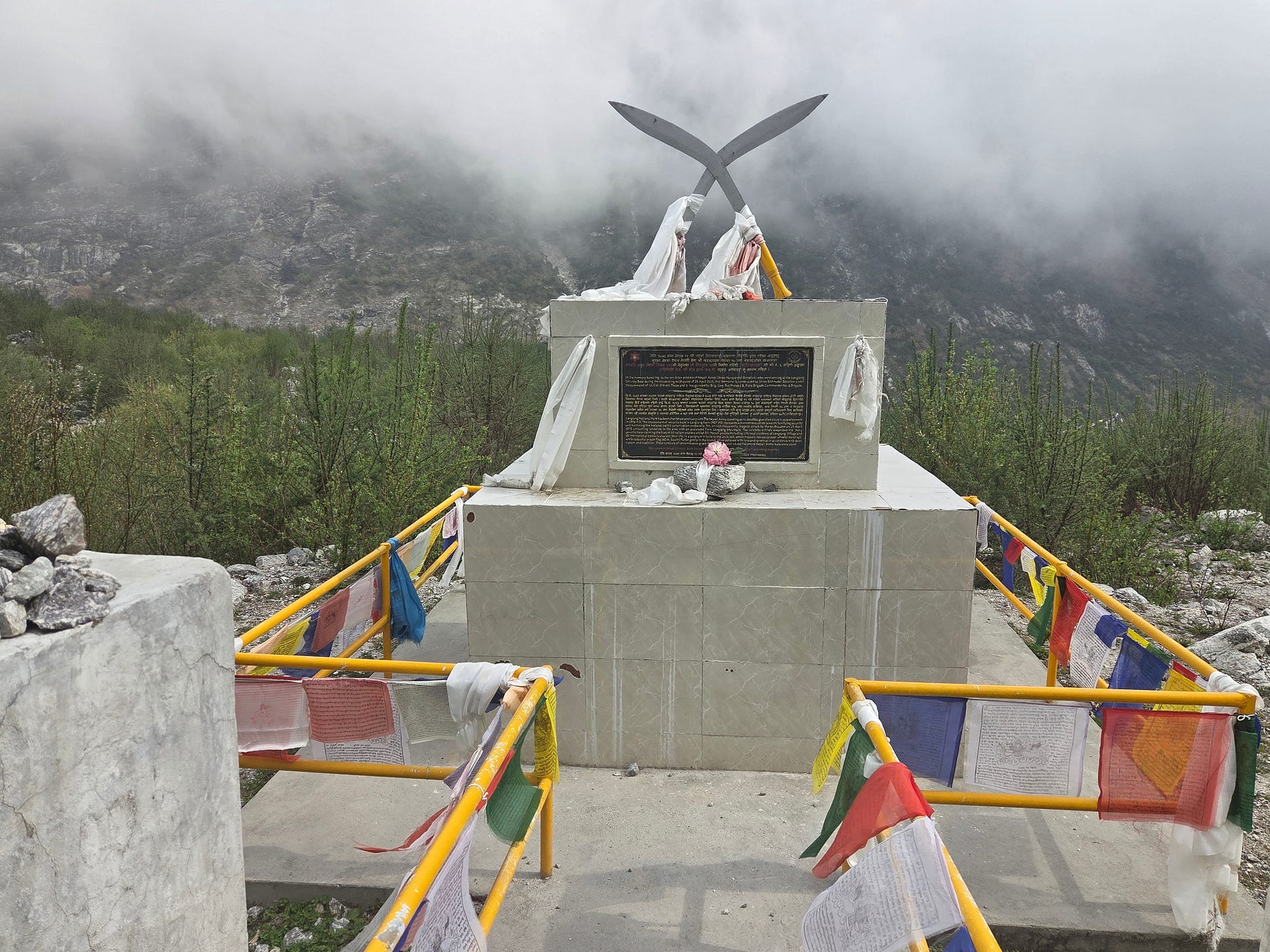
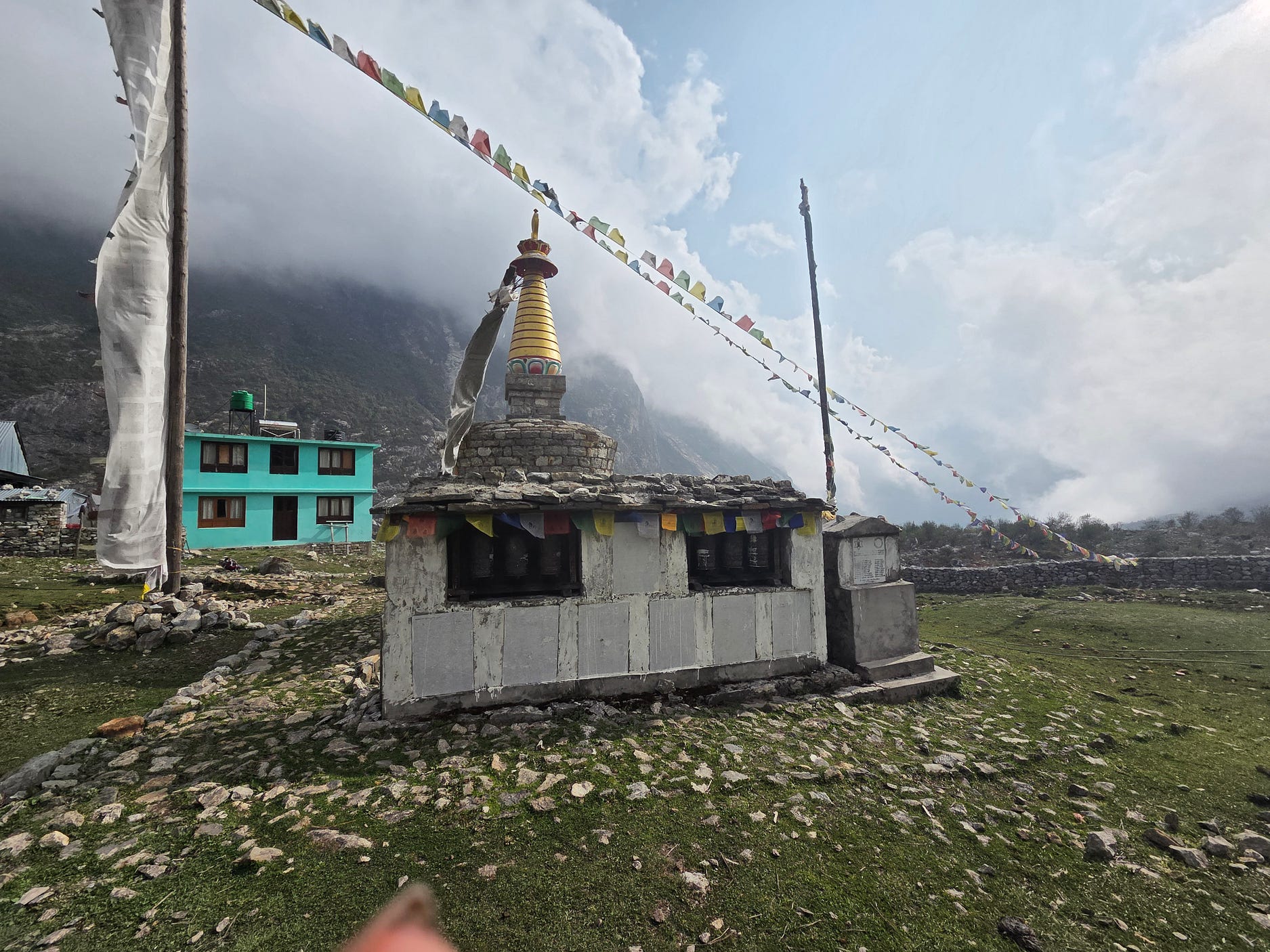
The next two photographs show memorials, at the rebuilt Langtang Village, to those who lost their lives in the 2015 Langtang Lirung landslide.
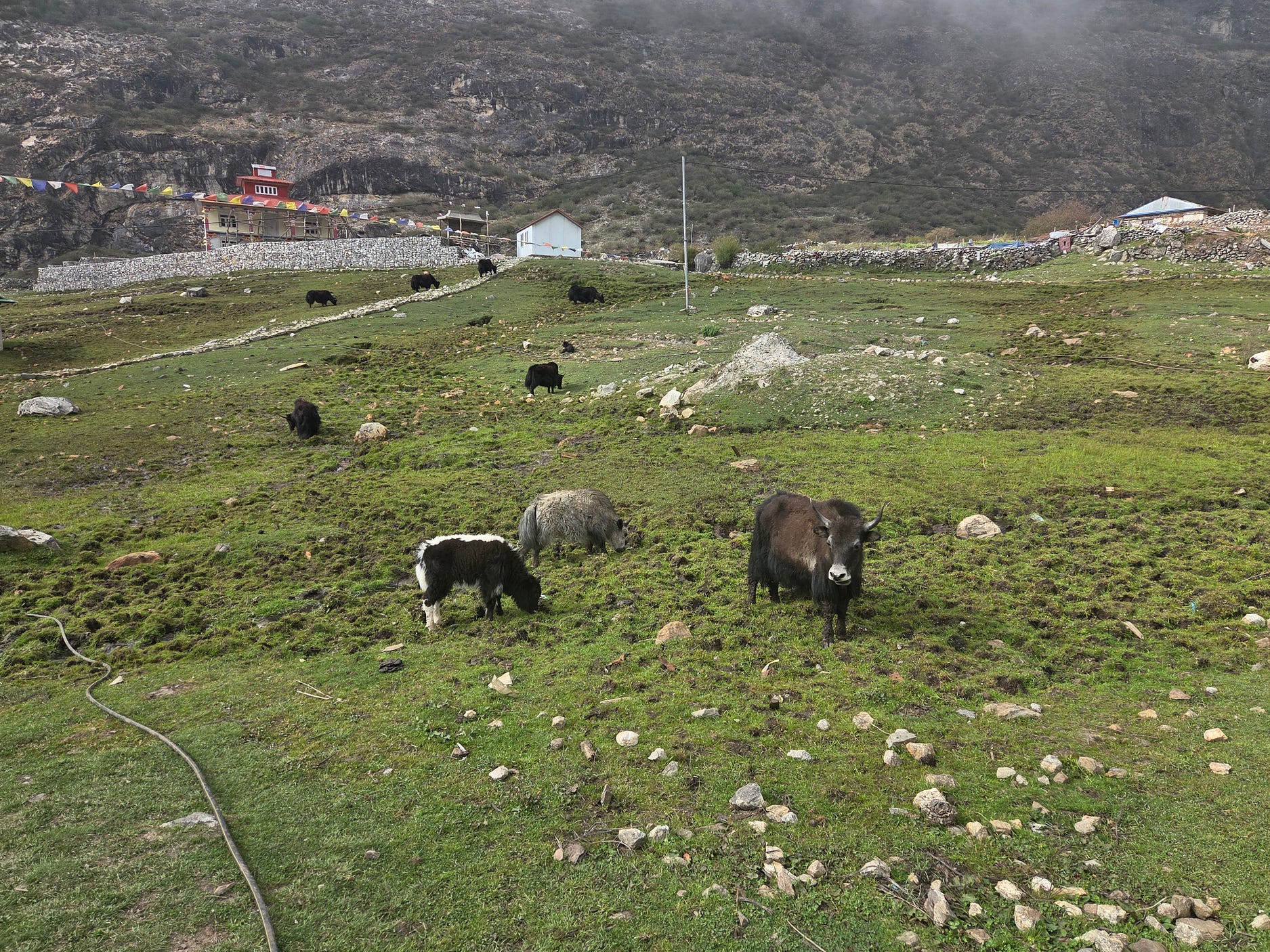
The next photo shows yaks and/or dzos grazing near Langtang Village.
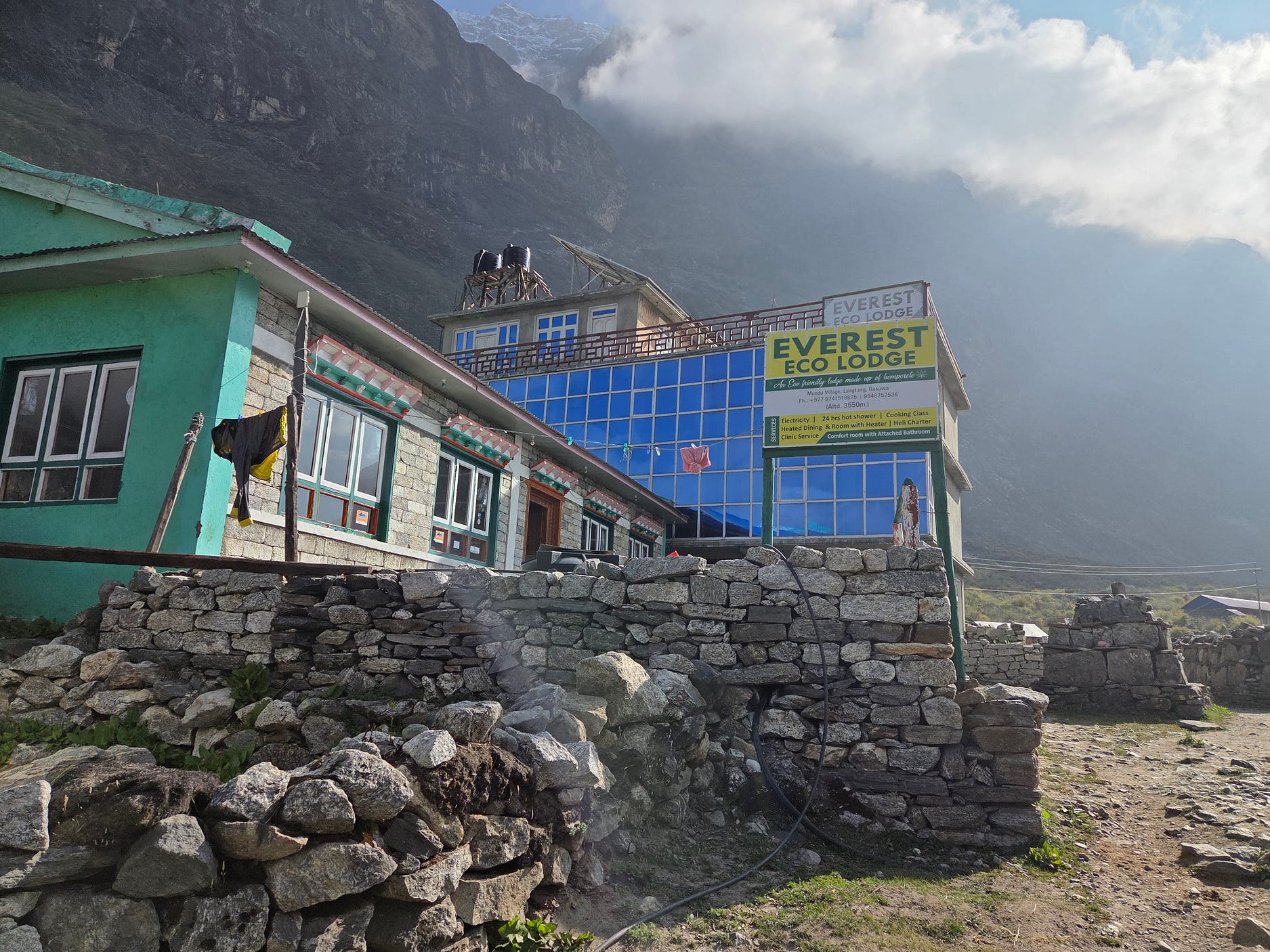
And the Everest Eco-Lodge at Mundu Village, about a 15-minute walk past the new Langtang Village.
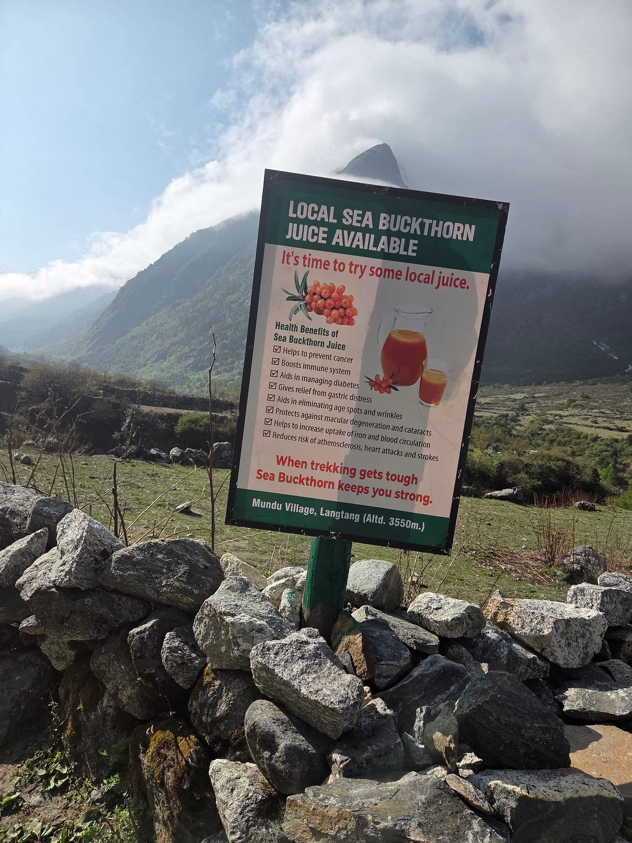
Although we were a long way from the sea, the hardy coastal shrub known as sea buckthorn in Britain also grows in the Himalayas. Its berries and juice really are full of healthgiving properties though, because the berries are difficult to harvest, since they are amid masses of thorns and don’t come away easily, it’s not as well known as it might be otherwise.
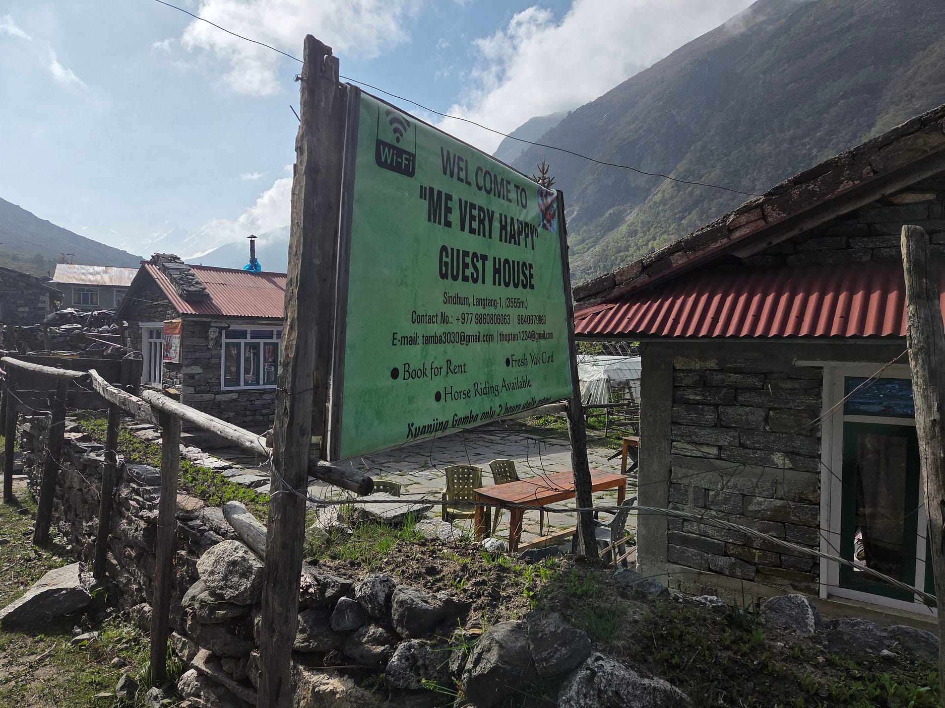
And so we came to another guesthouse, at Sindhum.
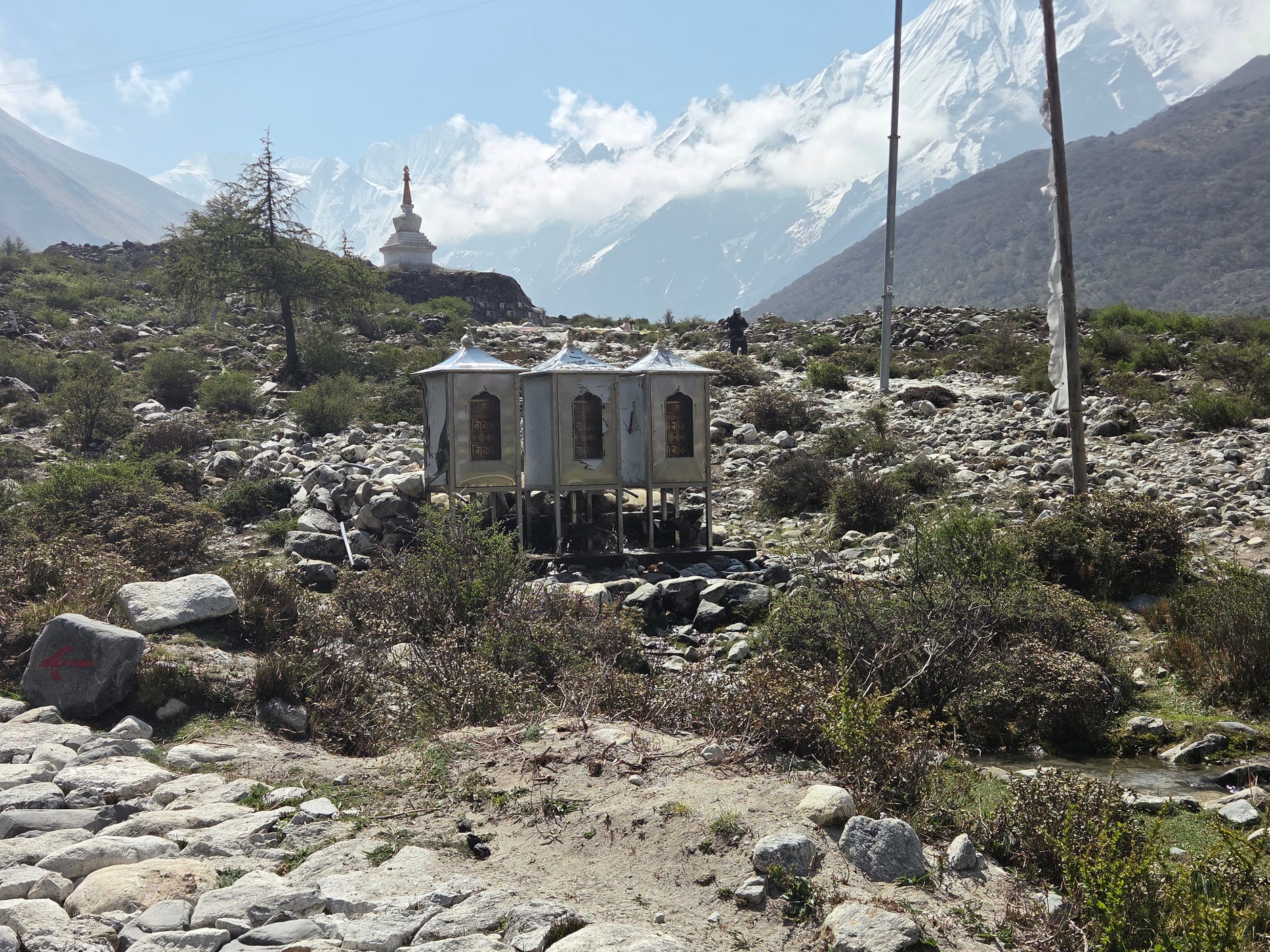
We came across another stupa and more prayer wheels, including prayer wheels that were being operated by a water-wheel!
Here’s one of the swing bridges on the way.
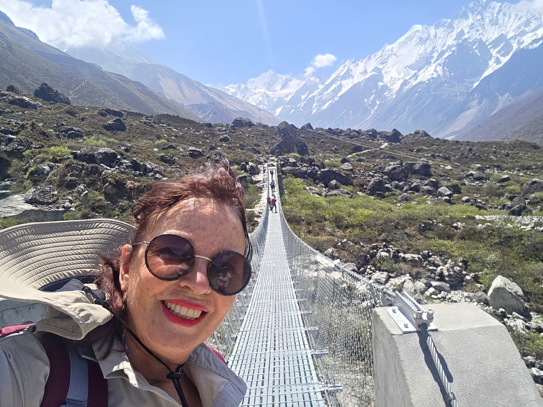
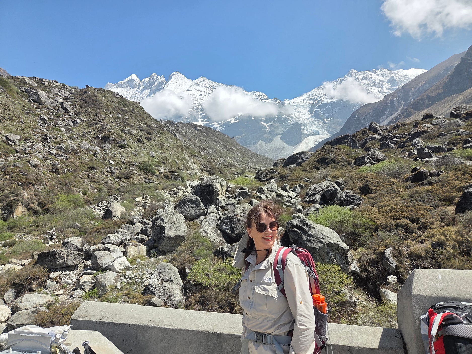
By now, as you can see, things were getting not just scrubby but alpine.
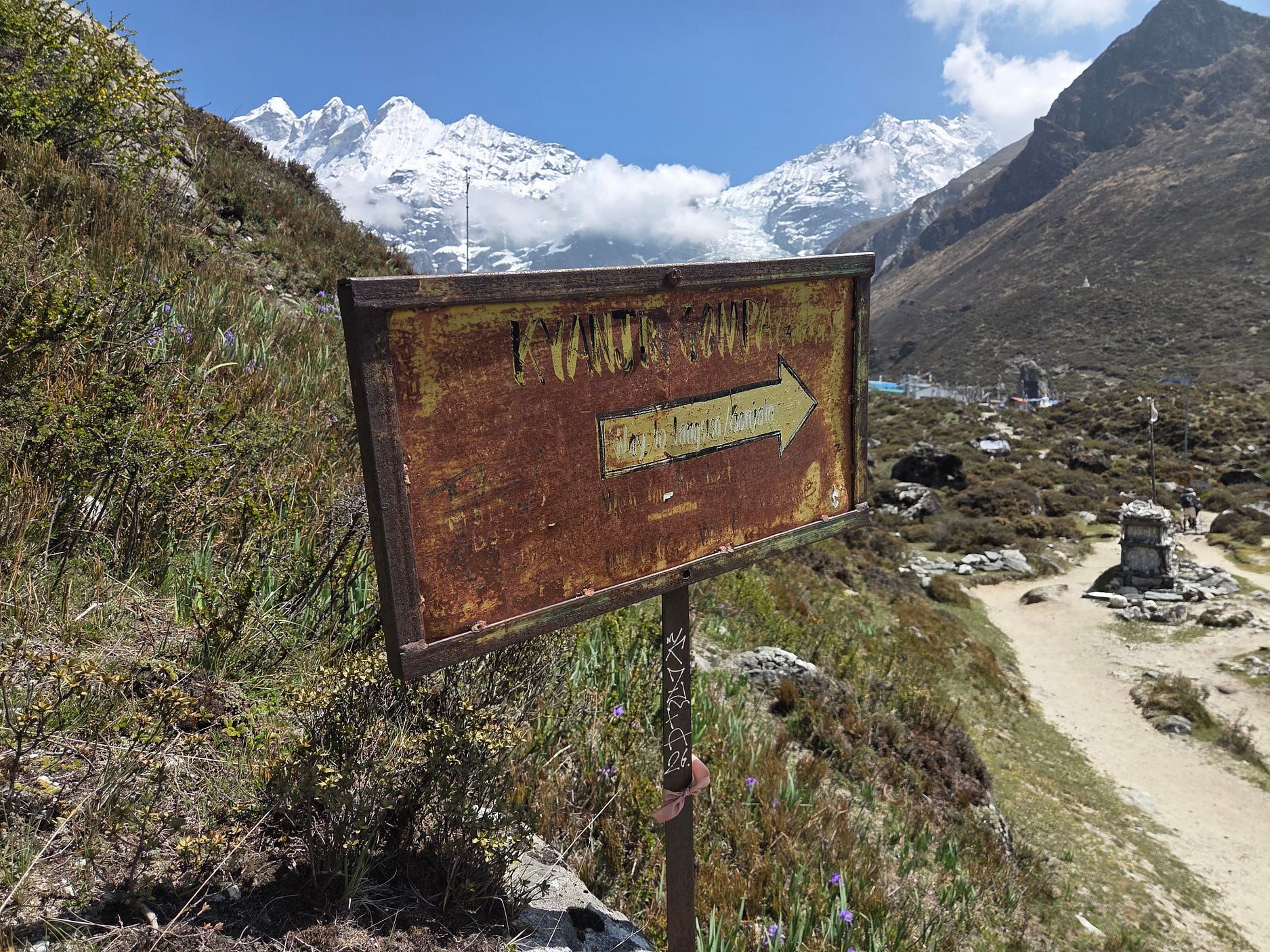
The following sign looks overdue for renewal. It can just be made out to read ‘Kyanjin Gompa,’ an alternative spelling of Kyangjin Gompa, and the way to something, which might be more readable up close.
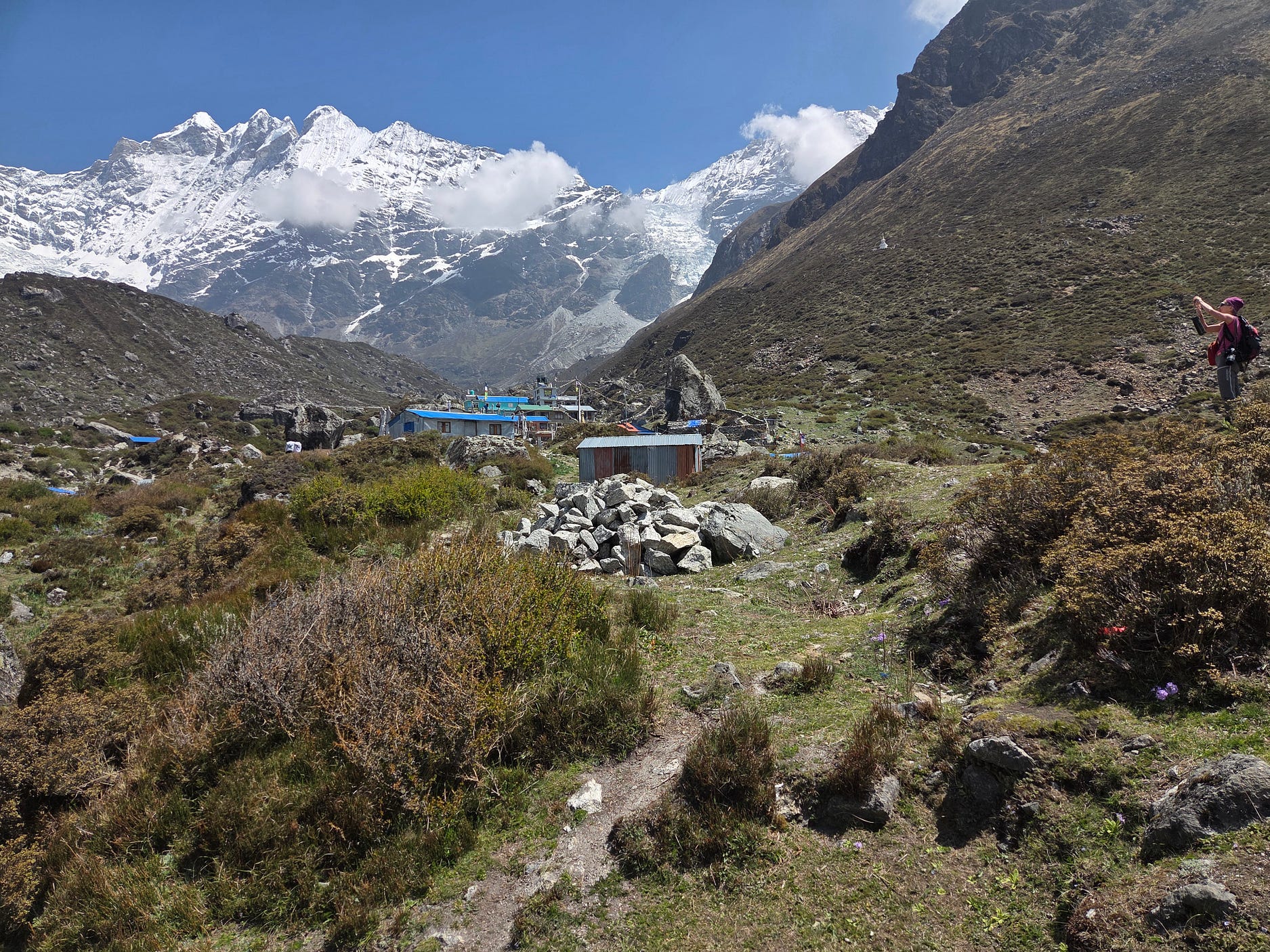
And here is another view of the village of Kyangjin Gompa, with someone else taking pictures as well.
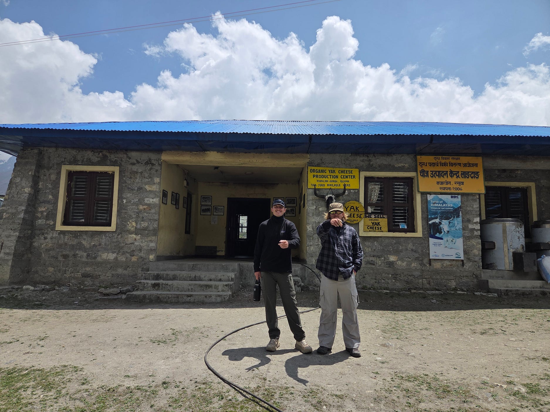
Here are the two Australians, in front of Kyangjin Gompa’s organic yak cheese production centre.
At 3,870 metres ASL, Kyangjin Gompa is one of the highest villages in the world, a little bit higher than Lake Titicaca in Peru and Bolivia.
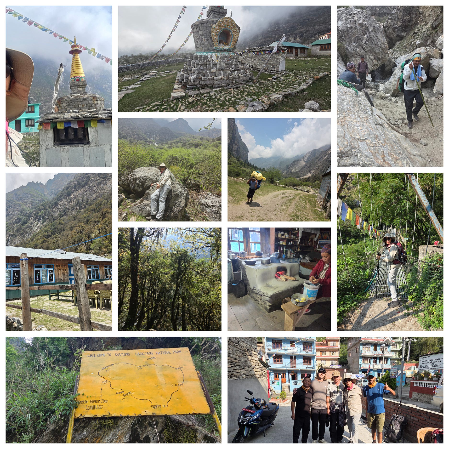
Here’s a collage that I made of photos thus far (but wait, there’s more!)
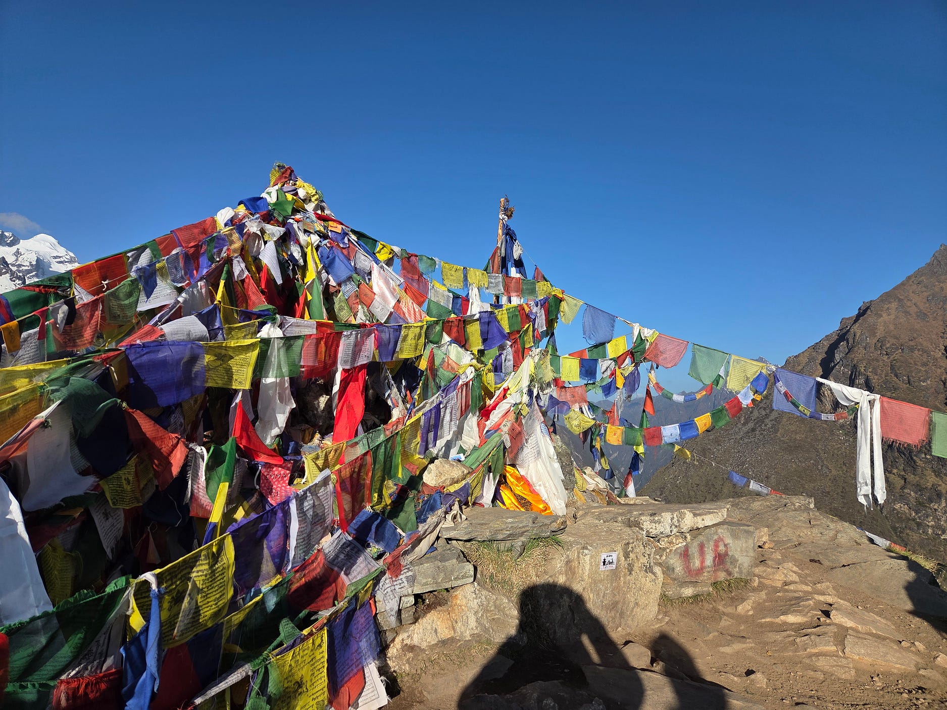
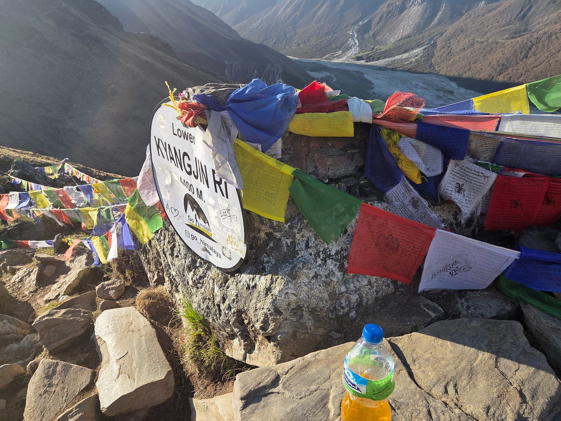
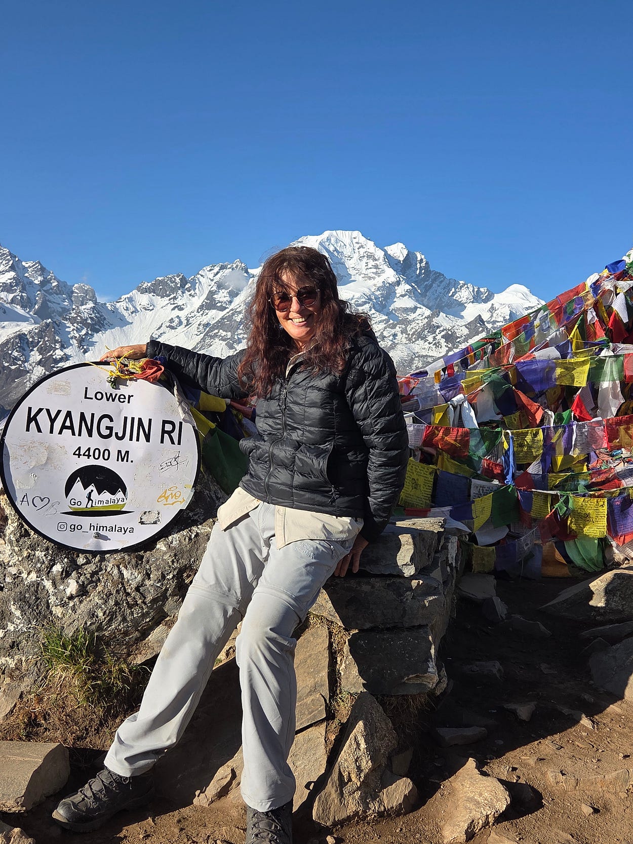
After Kyangjin Gompa, we hiked up to the lower peak of Kyangjin Ri, at 4,400 metres ASL.
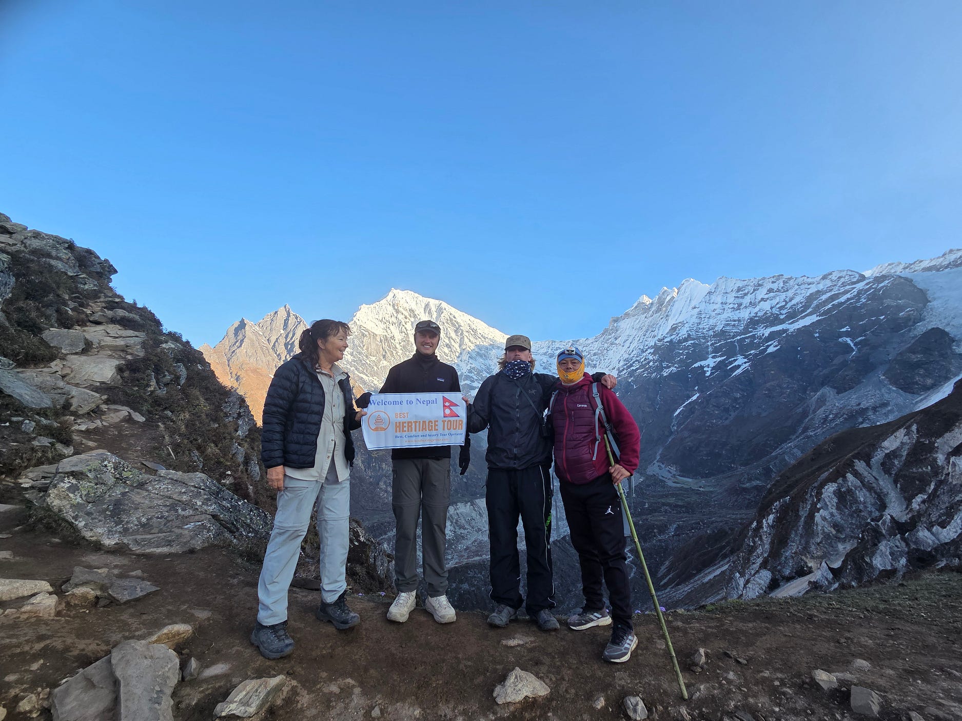
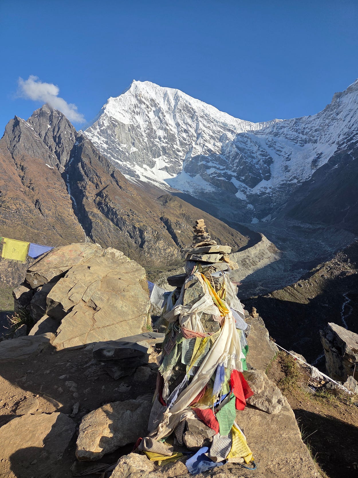
From Kyangjin Ri, it was possible to get a really clear view of the Lirung Glacier, which has wasted away dramatically in recent decades: wastage, doubtless due to global warming, that is thought to have contributed to the 26 August 2026 glacier collapse on the north face of the mountain as well.

The sun was just then coming up, and slowly illuminating more and more of the valley below.
After a while, the sun began to strike the Lirung Glacier.
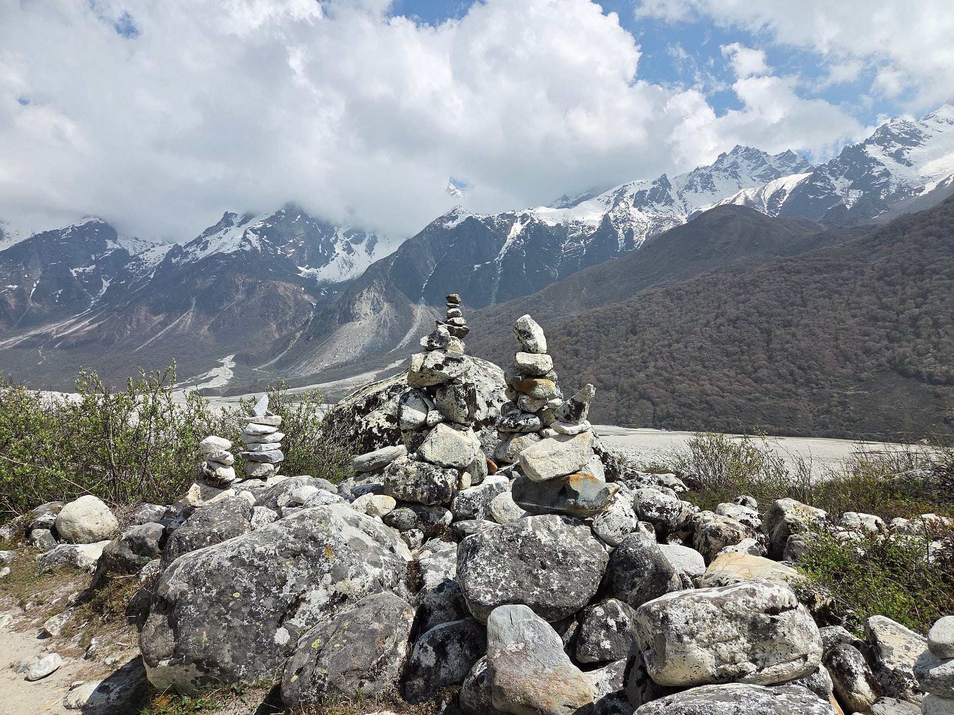
And so we hiked back down the valley the way we came, past cairns.
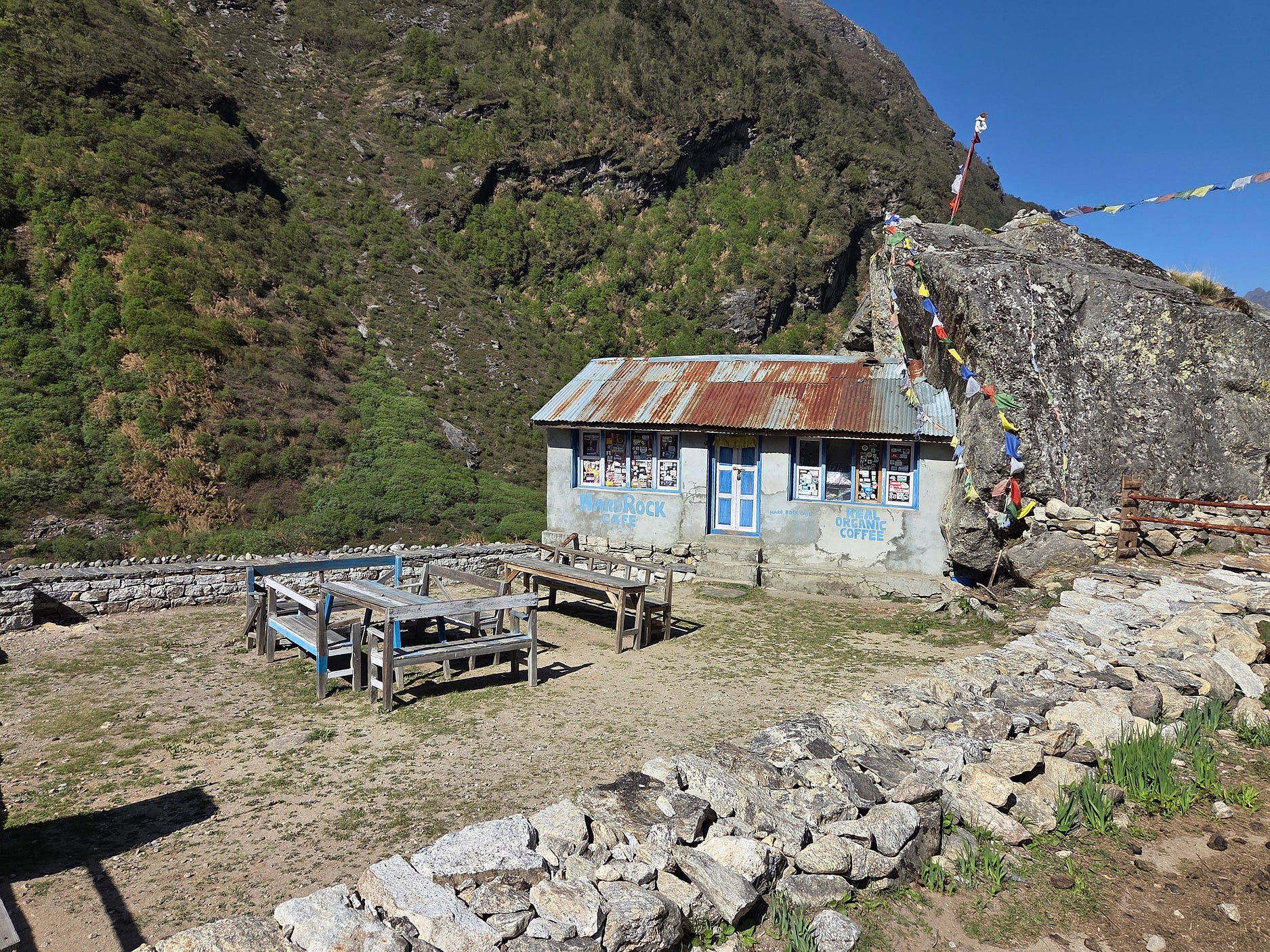
And the aptly named Hard Rock Café!
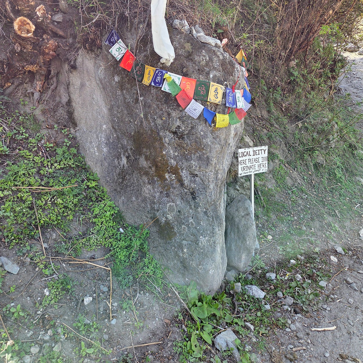
And a sign saying ‘local deity here, please don’t urinate here.’ Well, quite.
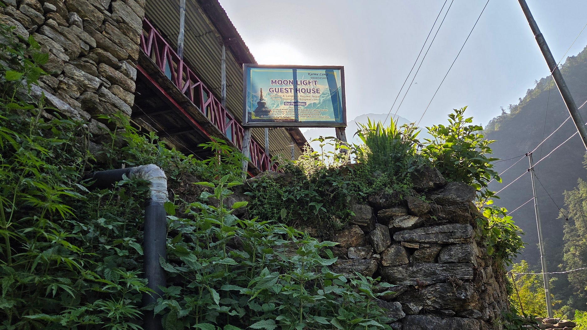
This photo shows us being welcomed to the Moonlight Guesthouse, in Rimche, lower down in the valley (2,450 m ASL), where they have mains electricity.
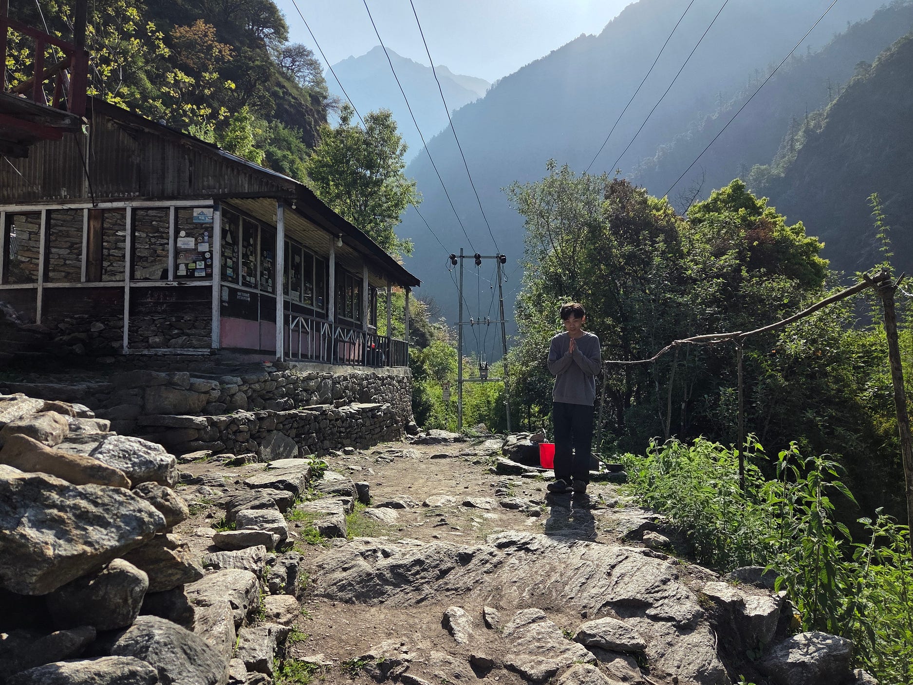
There are several Moonlight Guesthouses in the region, including one near Kyangjin Gompa, so it is important not to get them confused.
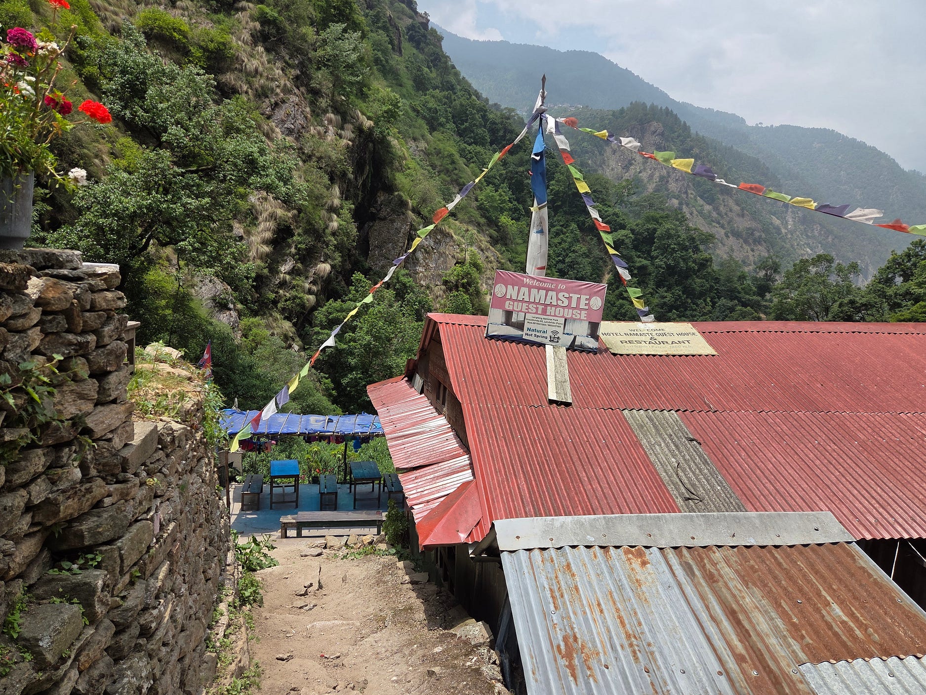
We arrived at the Namaste Guest House, which I suspect is also a very common name.
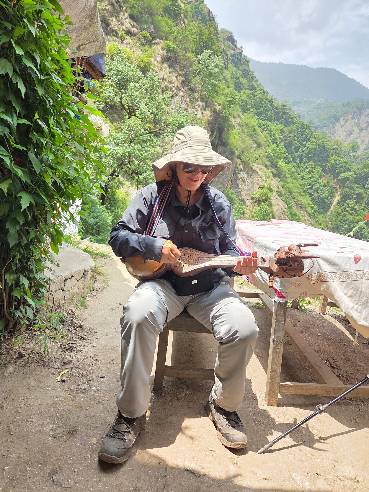
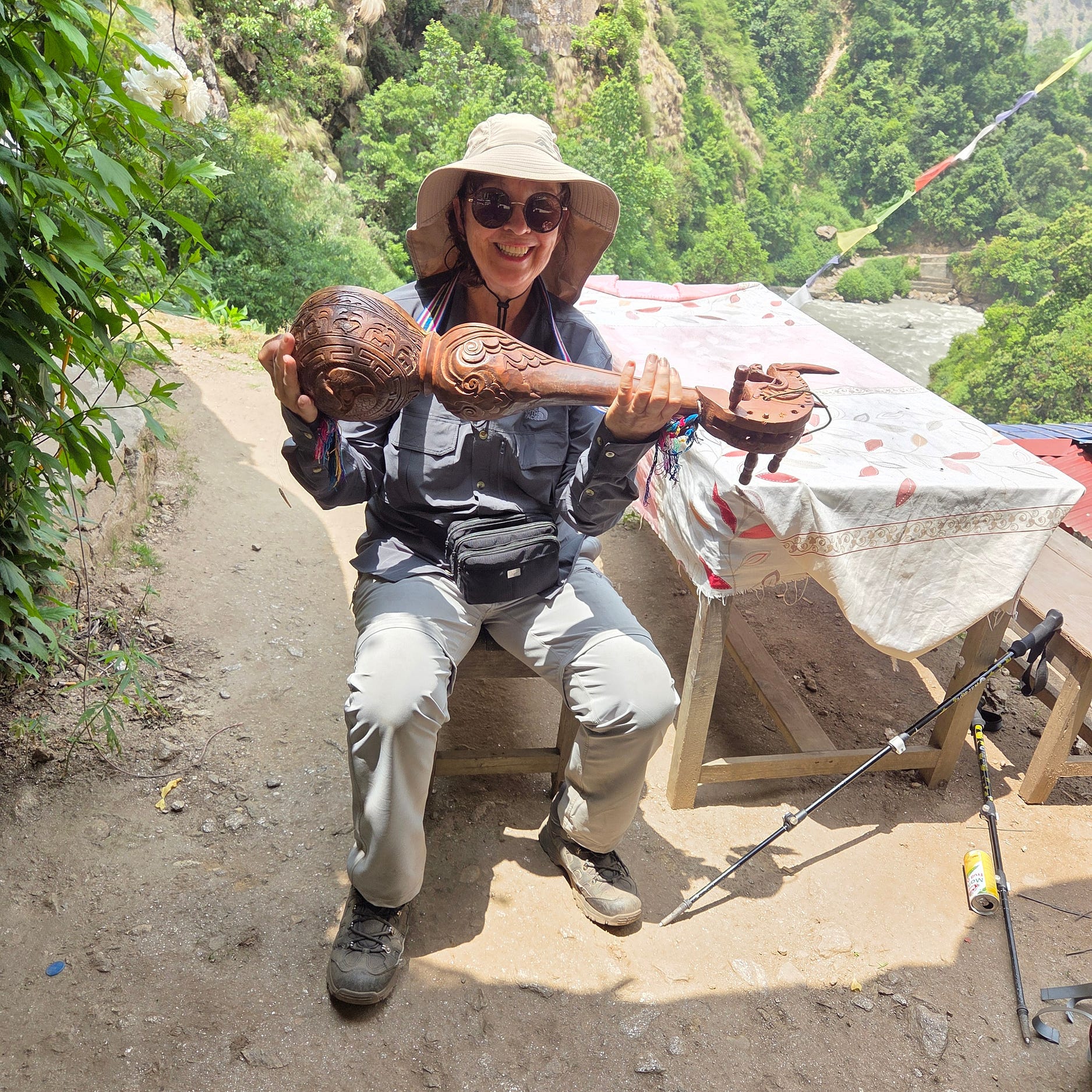
The next photo shows Mr Lama playing a traditional lute called a tungna, at the Namaste Guest House.
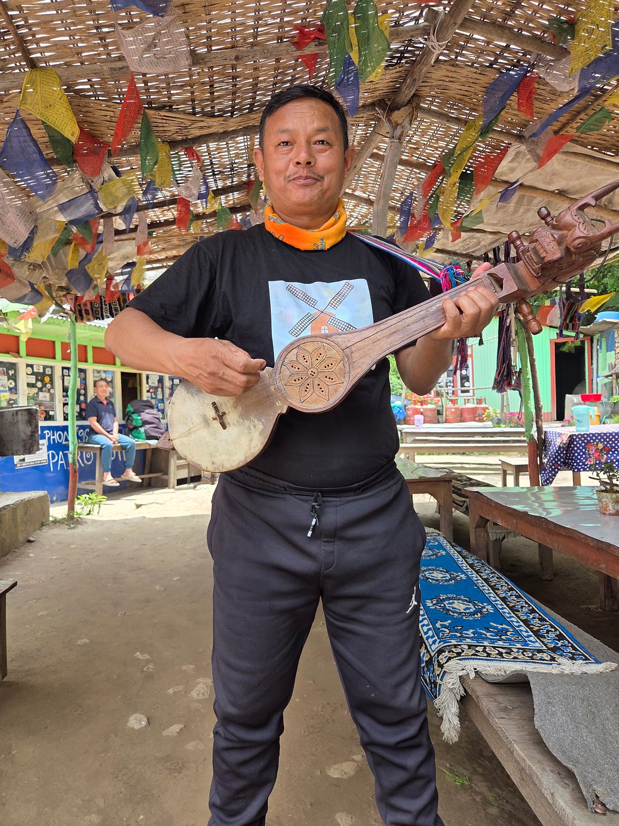
And then I give it a go.
You can see it is really intricately carved on the back!
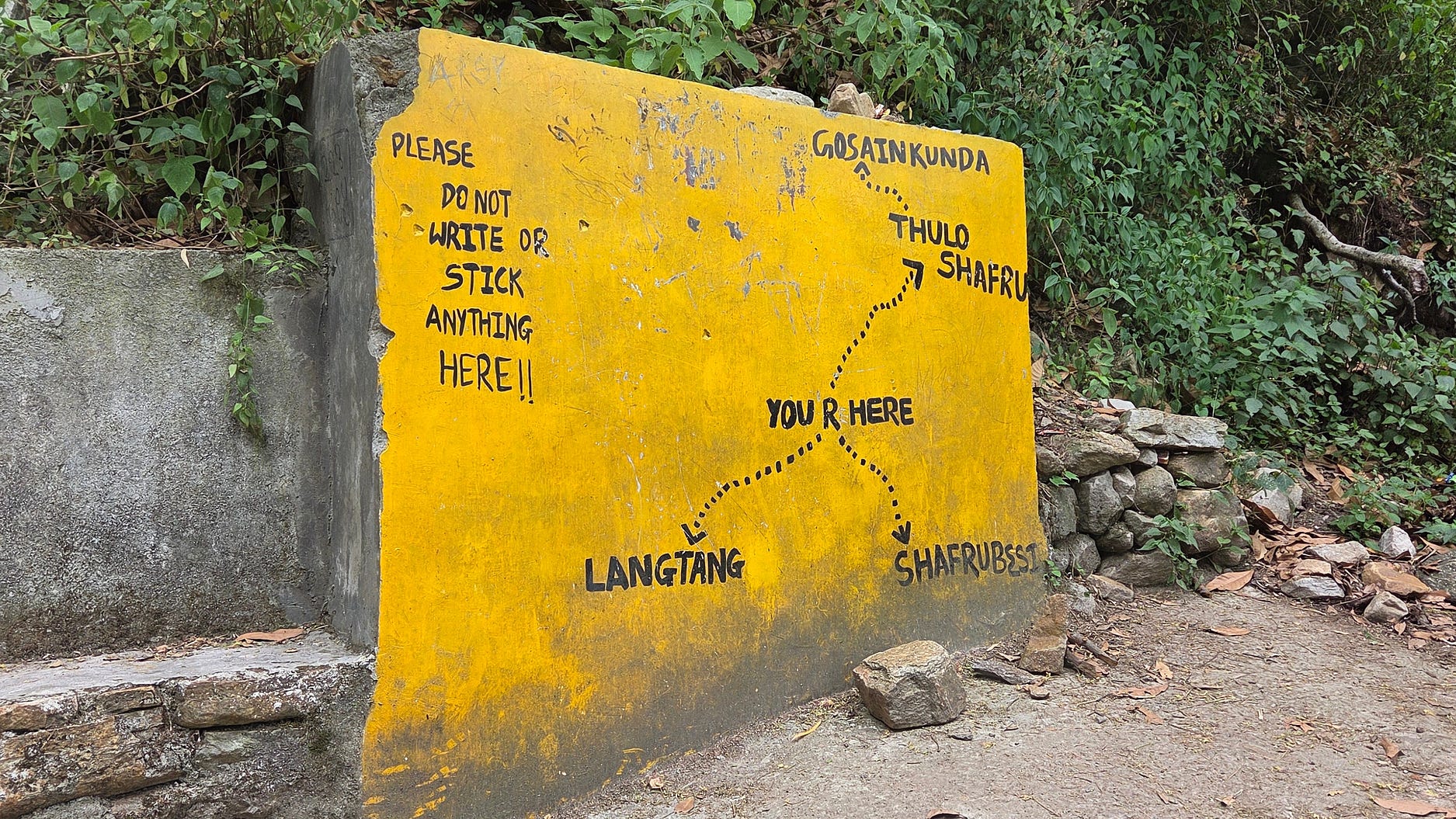
Here is an interesting sort of a sign: I think it has south at the top.
Other pros and cons of the trip were as follows. First, the tea shops were pretty amazing. Staple foods include Momo dumplings and Dahl bhat, with vegetables. Further up, at Kynangjin Gompa, the yak cheese was yummy!
First of all, altitude. As a general rule, above eight to ten thousand feet or 2.500 to 3,000 metres, you aren’t supposed to go up more than 300 metres a day, as measured from sleeping quarters the night before to sleeping quarters the next night.
Otherwise, you risk altitude sickness, which involves headaches and feeling under the weather, or, more seriously, High Altitude Pulmonary Oedema (HAPE) and High Altitude Cerebral Oedema (HACE), which can completely incapacitate or even kill a climber.
A lot of people push these limits and survive, but by the same token, you’re playing Russian Roulette to some degree.
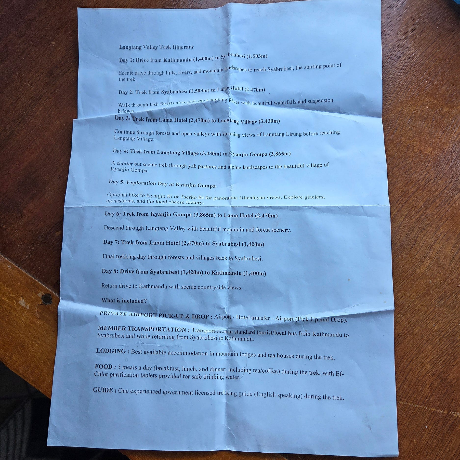
Well, on this trip, on Day 2, the first day of the hike proper, we went up from 1550 metres at Syabrubesi to the Lama Hotel at 2,470 metres, which was strenuous but not yet in the danger zone. However, on Day 3 we also went a further 970 metres upward to Langtang Village, and that was more the three times higher than we should have gone between sleeps above 2,500 metres, taking the conservative view. No wonder I needed a porter!
One of the two Aussies in our party, who both went up to the upper peak of Kyangjin Ri at 4.700 metres (I did not have it in me to continue), did get a headache. We were tested for oxygen levels and heart rate, which was professional.
The guide was a born-again Christian, who had converted from Hinduism to get away from the caste system, apparently, and I felt he was not doing enough to show me the Buddhist monasteries (though they are mentioned in the itinerary above). Also, nobody mentioned the landslide that wiped out Langtang Village in 2015, I had to learn about that in other ways.
The food was good. And the company chose good hotels apart from the Lama Hotel, which had no running water, holes in the walls, and people smoking in their rooms.
The tour guide put me in another hotel on the way down, but the owner of the business wanted me to stay in the run-down Lama Hotel on the way down. I complained to the tourist police in Syabrubesi, and the tourist police said they were going to chase up this quality issue.
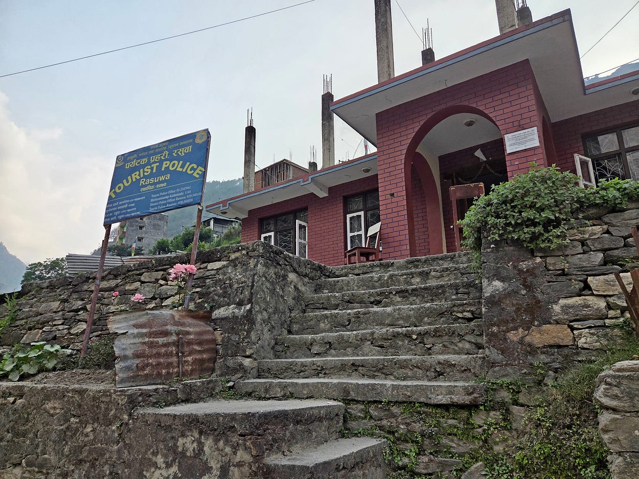
Meanwhile, the firm’s owner said he was going to get the guide to do more to explain the monasteries and the 2015 landslide.
(Langtang National Park cannot be trekked without a licensed guide, whom you can also get from apps like Klook and GetYourGuide. I got ours via the firm’s owner, who I had actually known for 11 years, having been to Nepal a few times already.)
Finally, before returning to Kathmandu, we stayed at the New Red Panda Hotel in Syabrubesi, fairly close to the river. It was completely destroyed just three months later, in the 26 August flood, and my thoughts go out to the guests and staff who were there on that date.
Subscribe to our mailing list to receive free giveaways!

