Giveaways
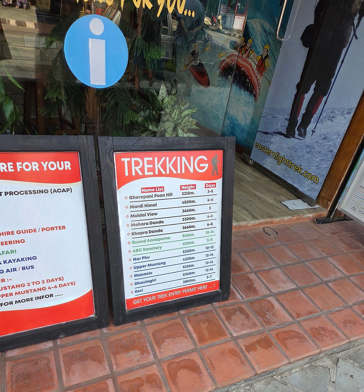
IN Pokhara, there were lots of signs advertising treks into the Annapurna Conservation Area, the section of the Himalayas north of the city, which you can see from Pokhara on a clear day.
Last week, I included a file photo of the view I missed when I was at the lookouts over Phewa Lake. Here’s another one!

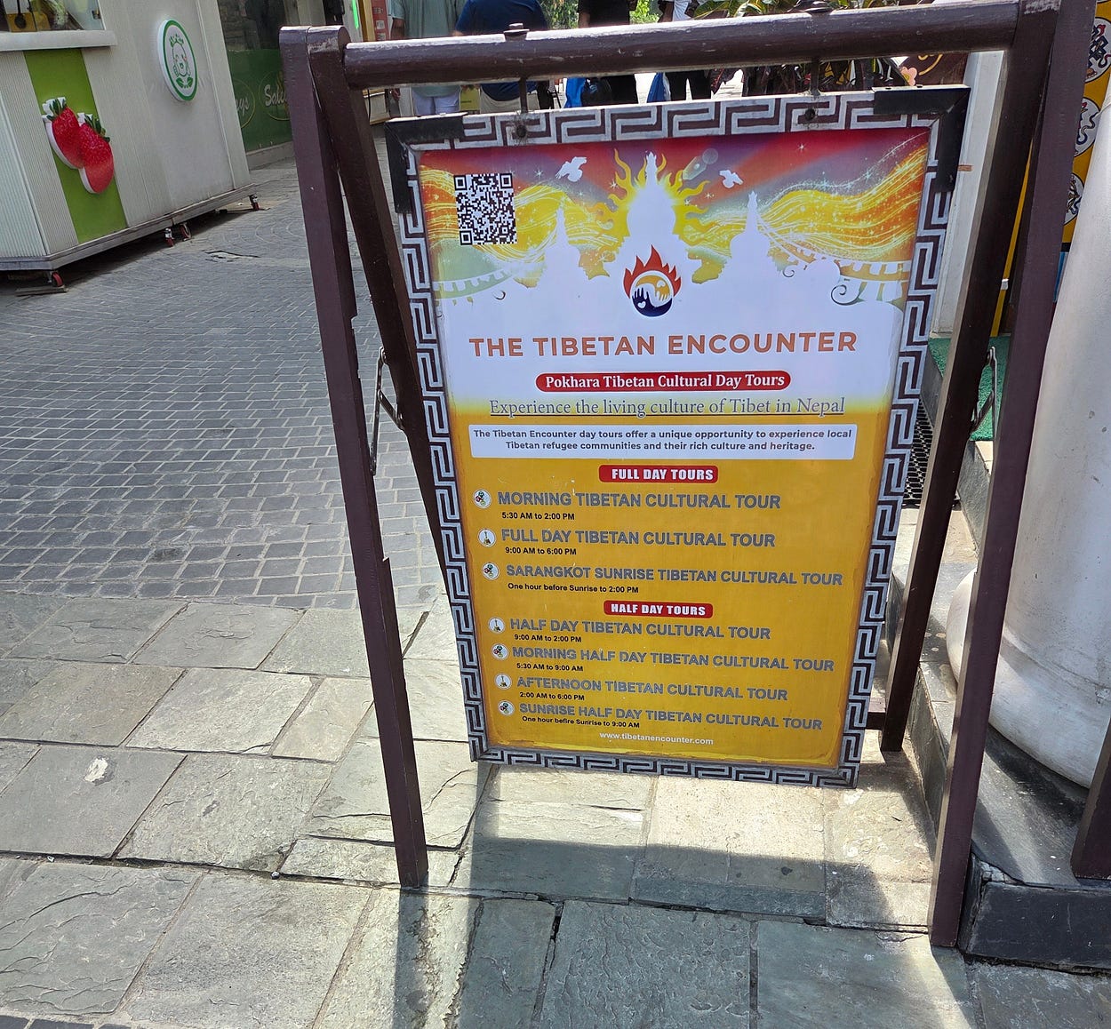
Other signs advertised cultural tours, tours into the Manaslu Conservation Area east of Annapurna, and to hot springs, viewpoints, and other attractions.
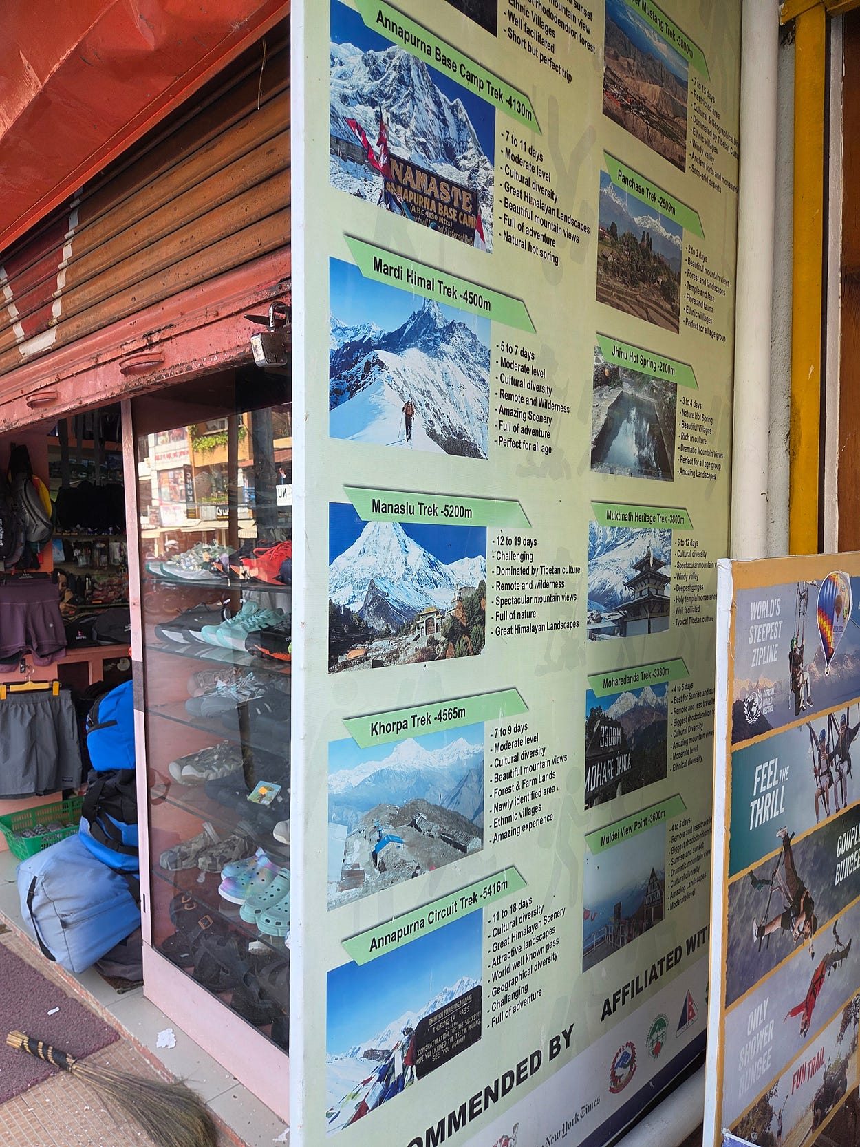
To enter the Annapurna Conservation Area, you need a trekking permit, which can be obtained from Nepal’s National Trust for Nature Conservation, or at the Annapurna Conservation Area Visitor Center in Pokhara. I went on a guided tour, which is now compulsory. Even if you are solo, you have to have a guide.

It was in today’s Annapurna Conservation Area that the first documented ascent of an 8,000-metre-plus peak, the 8,091-metre (26,545 feet) Annapurna I, was made by the French climbers Maurice Herzog and Louis Lachenal on 3 June 1950.
Annapurna is really a massif, with several peaks. The following photograph, which I took on my hike, shows the 7,219-metre (23,684-foot) peak of Annapurna South at left, a peak on the flank of Annapurna South called Hiunchuli (6,441 metres, or 21,132 feet), and then, to the right of a valley through which mountaineers and alpine trekkers hike to get onto the massif, the pointy Machapuchare (6,993 metres or 22,943 feet), the so-called ‘Matterhorn of Nepal.’

Interestingly enough, I was there at exactly the time of year — May going on June — when many first ascents of Himalayan Peaks, such as Annapurna 1 (3 June) and Everest (29 May) — were made.
The reason for that fact, and why May is also the month when nearly everyone goes up Everest today, is that these peaks are so high that they poke up into the stratosphere’s northern-hemisphere Subtropical Westerly Jet Stream, meaning nearly constant winds of 160 km per hour (100 miles per hour) or more.
Just before the onset of the monsoon, which usually begins in the first days of June, the Subtropical Westerly Jet Stream shifts to the north of the Himalayas and Tibet.
May’s respite from the jet stream opens a short climbing season called the “magic window.” The reason it is short is because the northward shift of the jet stream triggers the monsoon.
When the jet stream is in place, it blocks warm, humid, tropical air from entering Nepal and neighbouring regions. But when the jet stream shifts north, the warm, humid, tropical air arrives, and this is the monsoon.
Once the monsoon is established, the weather will turn bad in the mountains even though the jet stream isn’t there for the time being.
Unfortunately, the onset of the monsoon is what I also ran into on much of this hike!
There’s a great circuit hike around the Annapurna and Manaslu Conservation Areas, over high passes, which I did some years ago and blogged about in 2021.

However, on this trip I did a shorter hike that began at the village of Nayapul, about one kilometre from Birethanti, near the bottom left of the map above.
From Pokhara, I set out in a bus with a group bound for Birethanti and Nayapul.
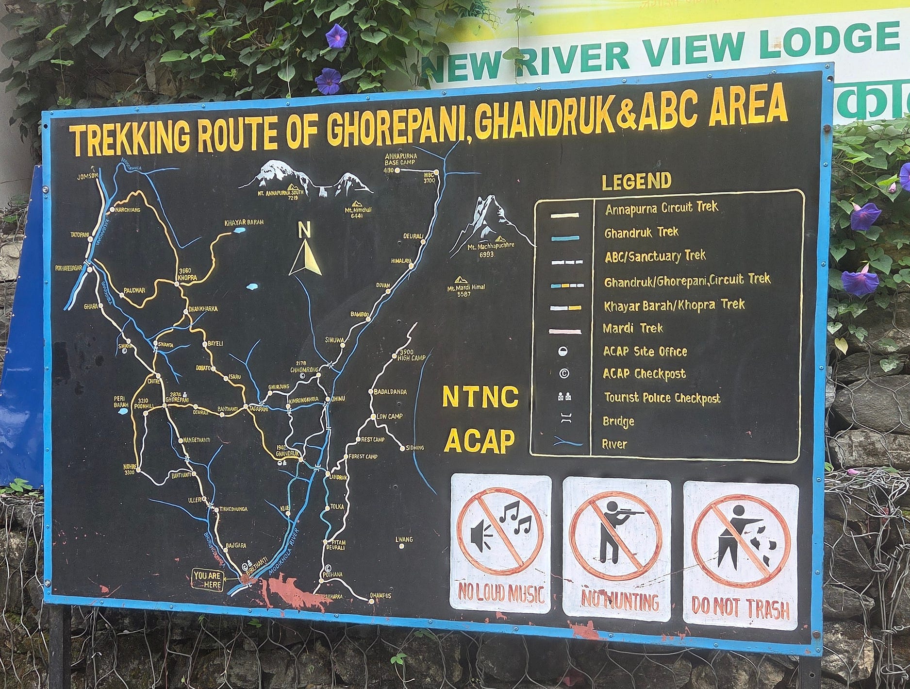
From Nayapul, we were to hike a short clockwise circuit through Ulleri, Ghorepani with a detour to Poon Hill, Tadapani, Ghandruk, and then back to Birethanti. (I haven’t mentioned every village on the way, but those are enough to make the route clear.)

Here’s one of the buses.

The bus was a regular local service, with people who had bags of rice from the shops, and everything!


There are, apparently, 3,200 stone steps on the way up to Ulleri. Spot the guy sitting down at the top of the next photo!

At Ulleri, I stayed at the Super View Point Guest House, from the upper parts of which you can see Annapurna South, Hiunchuli, and Machapuchare on a clear day (though it was misty when I was in Ulleri).


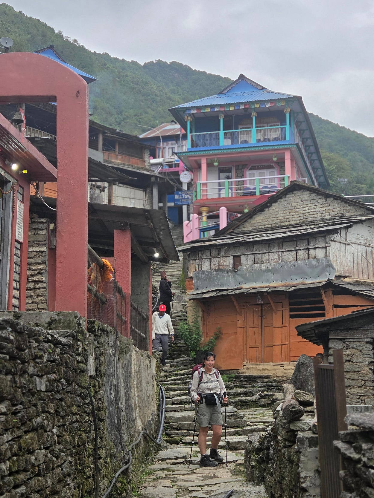
Although the stone steps of Ulleri don’t look as if they will ever be accessible to wheeled traffic, other parts of the trail network are being turned into mountain roads.
We had to walk along these roads for part of the way, sharing them with four-wheel-drive vehicles, which the locals mostly seem to call jeeps.
Road conversion is reducing the attractiveness of the Annapurna trails.
There’s really good article about this conflict called ‘When the road comes, the trek disappears: The story of Annapurna’s vanishing trails,’ by Reena Thapa, in Nepal News, 21 July 2026. According to that article,
The Ghorepani–Poon Hill trekking trail, located in the Annapurna Conservation Area, is a top choice for tourists visiting to witness blooming rhododendrons in March–April and clear mountain vistas during the autumn season. Jeeps now ply roads where only trekkers once walked. Trekkers are now forced to walk on the very same motor roads — wading through mud during the monsoon and braving choking dust in the winter.
The road network has affected more than just the Ghorepani–Poon Hill trek; most traditional trails across the Annapurna Conservation Area have been integrated into roads. While roads have eased travel for locals — making it easier to transport patients to hospitals and deliver daily necessities — they have shortened the distance of world-famous treks and diluted the overall experience and charm.
. . . . .
Even tourists who wish to walk are forced to use the motorable roads for large portions of the route.
Obviously, at some point, the modern world has to come to these parts.
The problem is that, up to now, the authorities have often converted old mountain trails into roads without either making separate paths that don’t have road traffic on them, or building the roads on new courses.
Anyhow, here’s another local scene from an as-yet-unspoilt section:
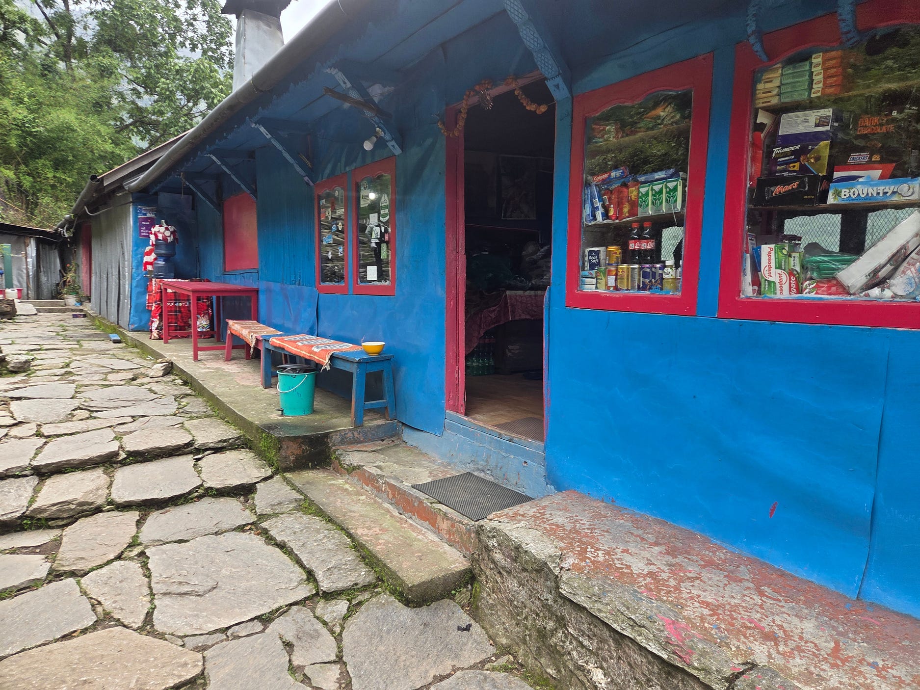
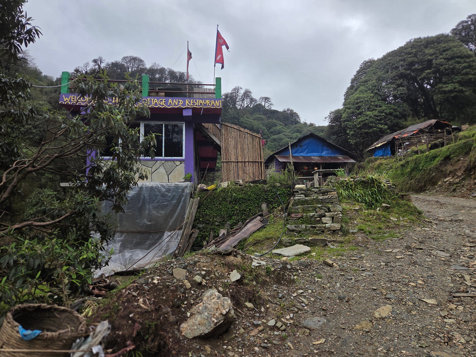
After a short while, just an hour or so, we came to the circuit’s first Banthanti: a name that means ‘forest rest house’ in Nepalese and therefore, apparently, rather common. We would come to a second Banthanti after Ghorepani.


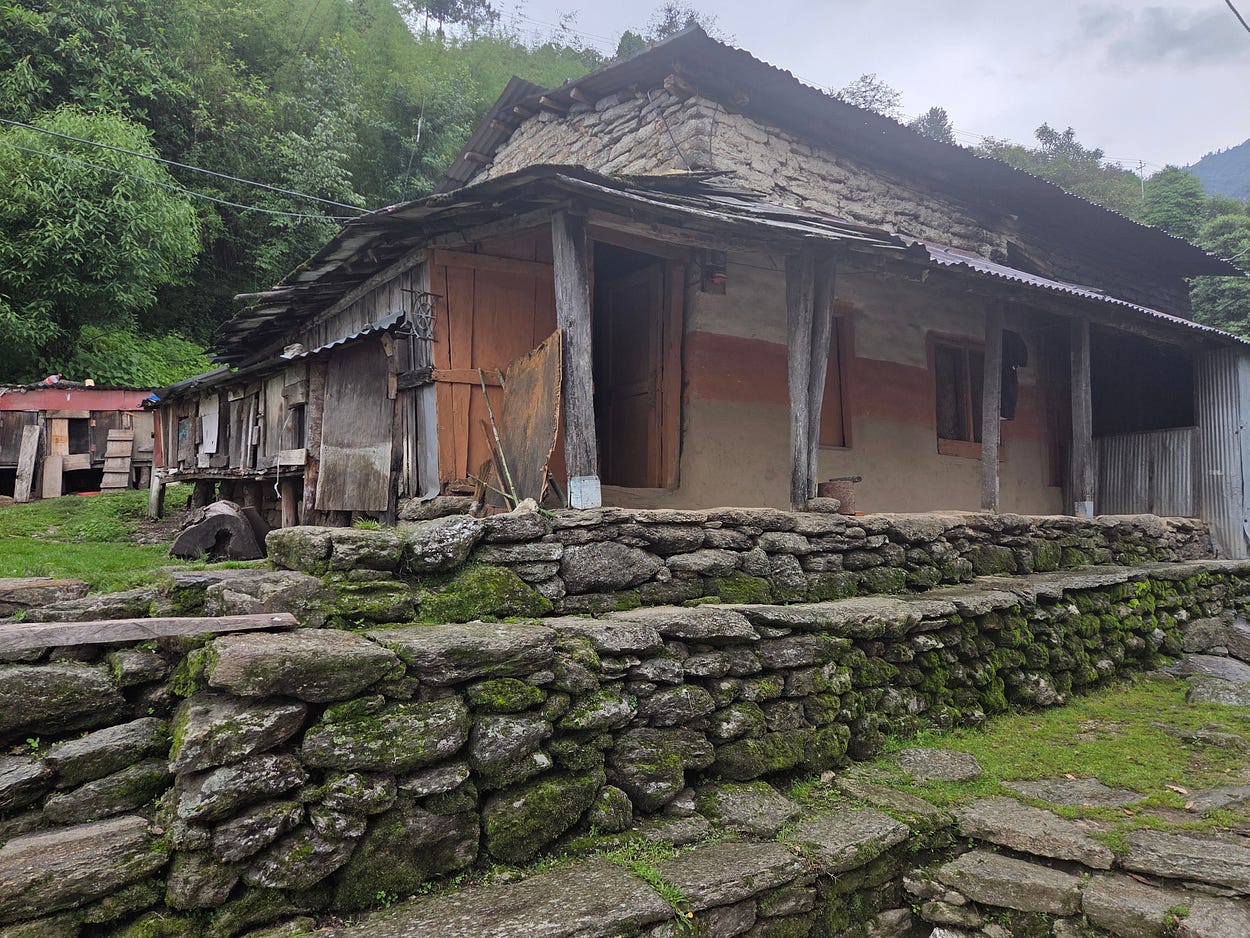
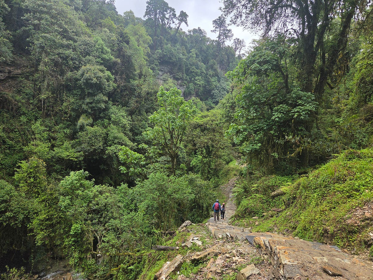

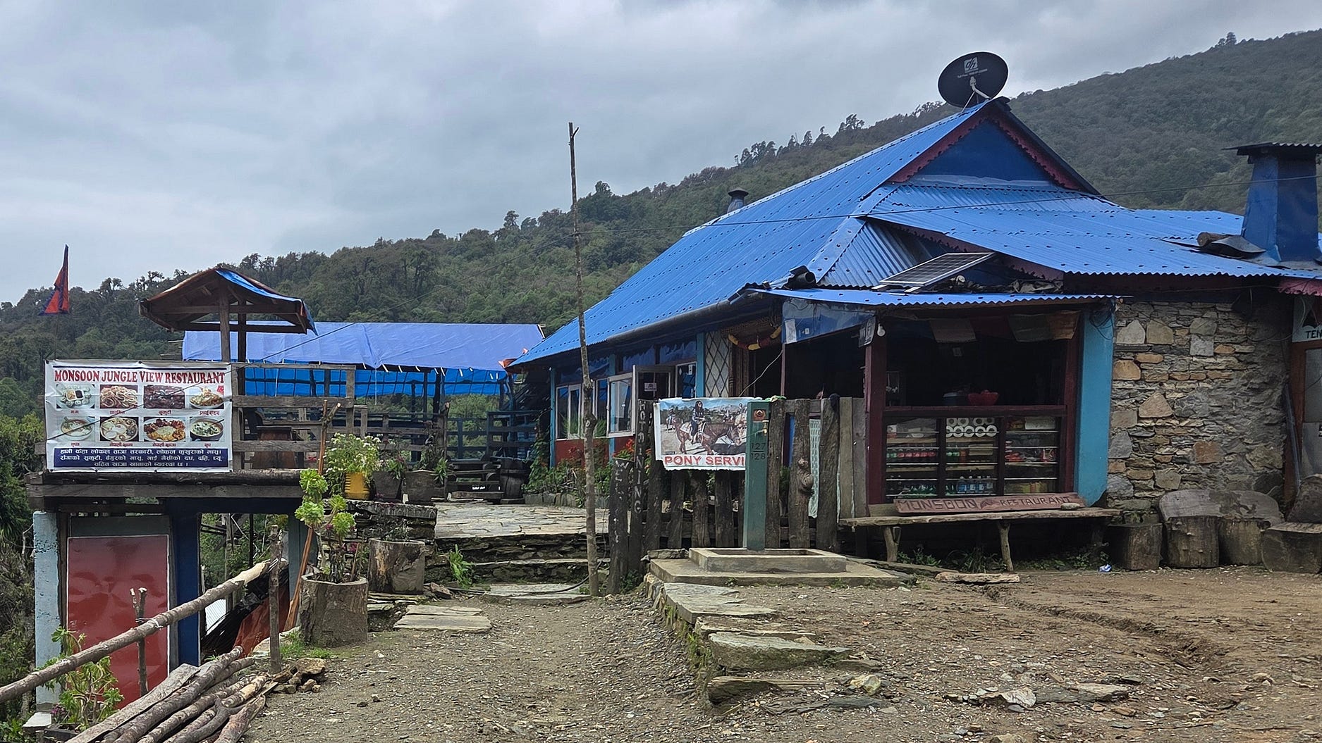
The Monsoon Jungle View Restaurant in the village of Nangethanti, just before Ghorepani, was a gem!
Here’s a video I made of the bus ride, of Ulleri, and of hiking past one of the waterfalls on the way to Ghorepani:
By the way, the names of Nepalese villages and localities are often spelled many different ways in English. Ghorepani can be written Ghodepani, Nangathanti as Nangathati, and so on.

There are big hotels everywhere now.

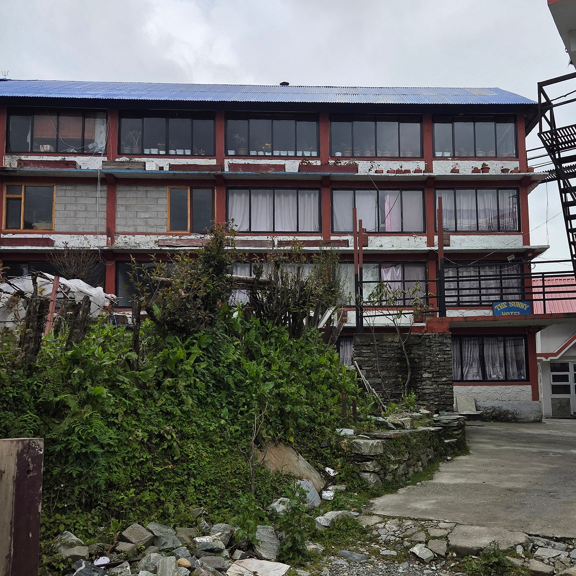
I stayed at the Sunny Hotel in Ghorepani. My photo of it was taken from an unflattering angle: but it is well-regarded!
Poon Hill is a famous mountain lookout. You can drive up to it now. When I was at the Sunny Hotel, our guide wanted me to get up at 3 am for the view, but I missed it!
On the way from Ghorepani to Tadopani, you go past Thapla Danda, which offers similarly amazing views of the Annapurna Massif and neighbouring peaks — but only when the weather is fine!

Here’s a Facebook post that shows what I was missing out on! And the next photo, for that matter.

The following photos show the colourful Yak Hotel and Lodge at Deurali, past Thapla Danda and on the way to the second Banthanti.


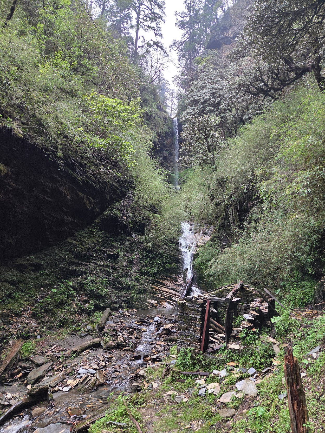
Incidentally, there are lots of lookouts along the way, including a lookout tower at Deurali. But the next few photos are of the misty trail, as there wasn’t much to see from the lookouts on this day.


At Tadapani, I stopped in at the Annapurna Guest House.
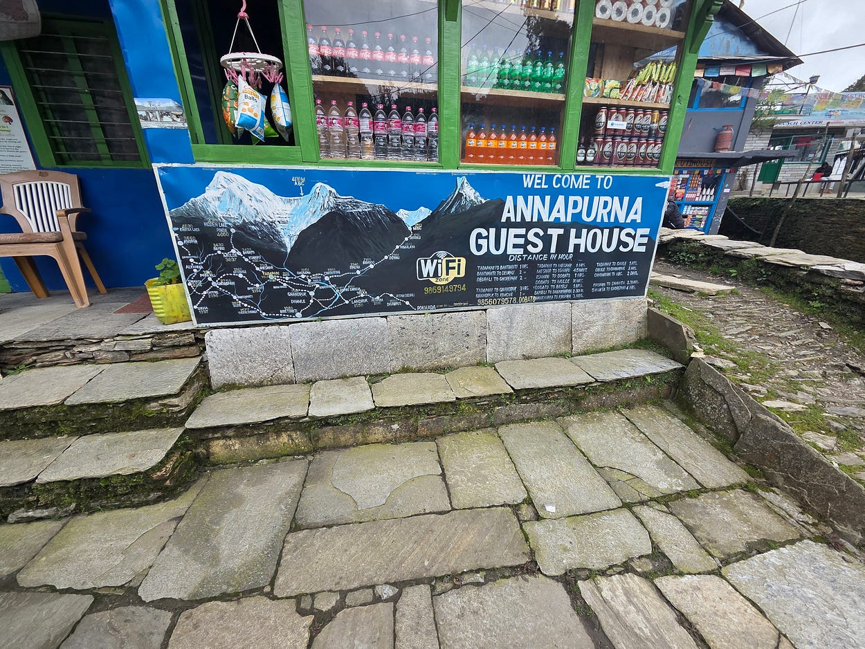

And at the Fishtail View Top Lodge, from which at last I have good, though cloudy, views of the Annapurna Massif and Machapuchare.

‘Fishtail’ is actually what Machapuchare means, since the very top of the peak has a sort of V in the middle and thus looks like a fish’s tail from this angle. You can just see that in the next couple of photos!


Machapuchare is probably the champion for being spelled several different ways in English, with Machapuchare simply the easiest one to remember.
And here’s a closer view of Annapurna South and Hiunchili.

I made a video here, which also shows something of the lodge:
Also, nearby, I saw an information panel that gave the names of a great many hotels, hostels, and homestays in the region!

At Ghandruk, I visited the Old Gurung Museum, which preserved the way of life of the indigenous Gurung people of the region.


The famous Gurkha regiments and other Gurkha contingents of the Nepalese, Indian, Brunei and British Armies, the Singaporean Police, and United Nations peacekeeping forces, have often drawn many of their recruits from the Gurung community.
Here are some donkeys moving through the incredibly narrow alleyways of this old village.

And some photos of terraced hills, on the way from Ghandruk back to Birethanti.
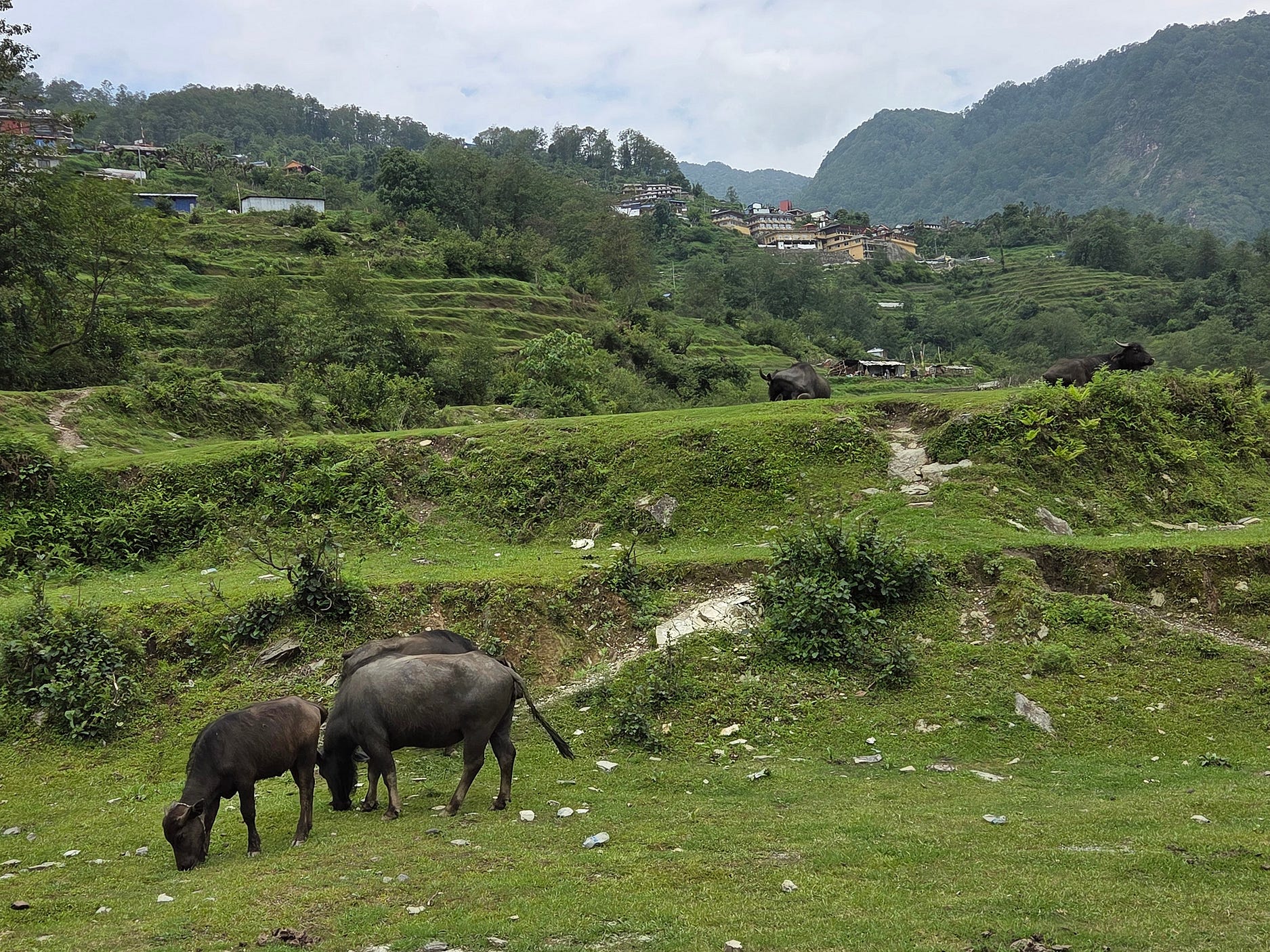


On the way from Ghandruk to Birethanti, we also went past the Hungry Eye Roof Top River View Restaurant, in a locality called Dangsing, on a beautiful Modi River coursing down from where we had just been.

Here’s a photo of someone purchasing a chicken, in Birethanti.

And so, finally, we got back to bustling Pokhara.

My next Nepal post will be about Kathmandu!
Subscribe to our mailing list to receive free giveaways!

