Giveaways
AFTER TAIWAN, I flew to Hong Kong, the former British colony that has been, since 1997, a Special Administrative Region (SAR) of China.
Hong Kong consists of a mainland peninsula, plus two big islands and a great many smaller ones. One of the two big islands is Hong Kong Island, the core of the original colony ruled by Britain from 1842 to 1997.
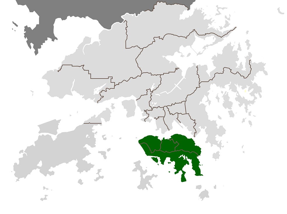
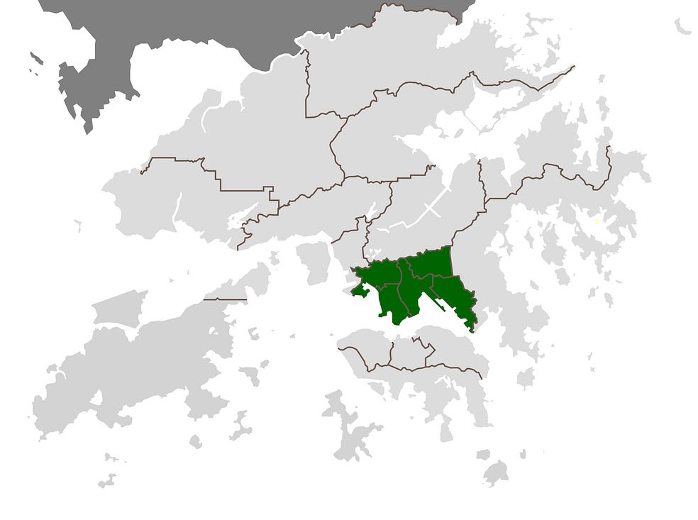
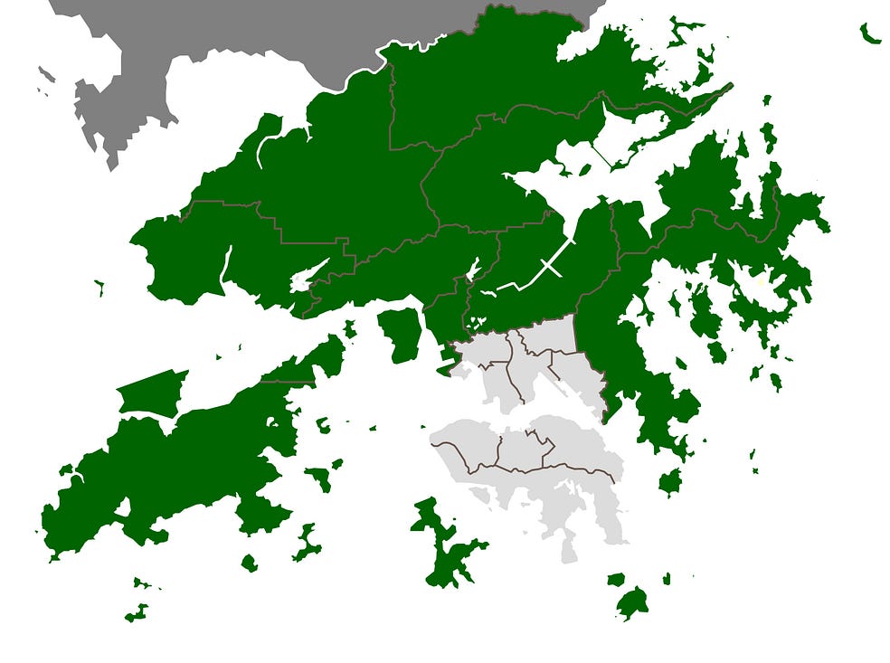
Administratively, the three main divisions of the Hong Kong SAR are Hong Kong Island, Kowloon, and the New Territories.
The British occupied Hong Kong Island in 1841, during a sordid affair called the First Opium War, in which Britain was championing the rights of drug dealers, who grew opium poppies in India, to sell their opium in China and thus addle the local inhabitants: a trade which the Chinese government was trying to stamp out (funny, that).
The Chinese lost heavily, and Hong Kong Island was ceded to Britain in 1842 under the Treaty of Nanjing, a treaty that began what later Chinese leaders would refer to as their nation’s ‘century of humiliation,’ in part because the one-sided military conflict also revealed how technologically backward China had become relative to Europe and North America.
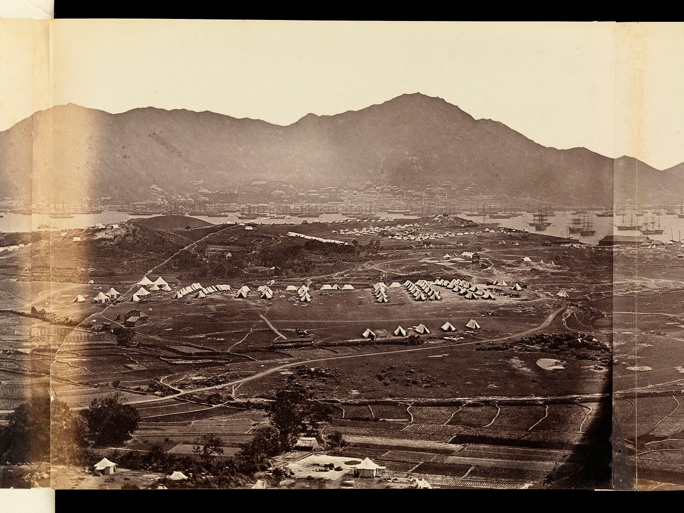
In 1860, at the end of the Second Opium War, China was forced to cede Kowloon to the British as well. One thing you can see in the following photograph, from 1860, before modern skyscrapers were erected, is how high the peaks on Hong Kong Island are. Victoria Peak, the tallest, is 552 metres high.
Subsequently, in 1898, a larger area was leased to Britain for 99 years, thus forming the New Territories.
Though mostly on the mainland, the New Territories include some islands, including the biggest of Hong Kong’s islands: Lantau Island, larger than Hong Kong Island but much less built-up.
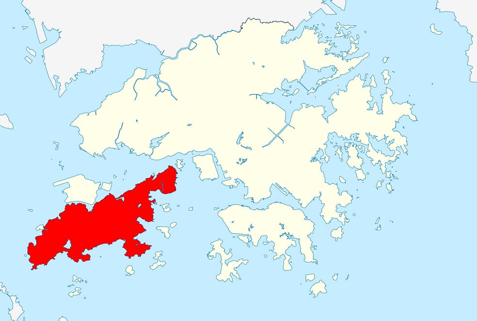
Though the three-part division between Hong Kong Island, Kowloon, and the New Territories was created by the British biting off of successive chunks of China in the days of its humiliation, this division remains in force today under Chinese rule.
That is because these three areas developed different planning laws and land-use rights under the British.
Since 1997, the new Chinese authorities have, therefore, kept the old three-part colonial division of Hong Kong on their books.
Hong Kong Island, and Lantau Island in the New Territories, are both connected to the mainland part of Hong Kong by road and rail, as are a number of the smaller islands, such as Tsing Yi, between Lantau Island and the mainland New Territories.
Hong Kong is famously crammed in. And, surprisingly enough, it is also quite green. 733 square kilometres out of a total of 1,113 square kilometres are in woodland, mainly because once you get out of the crammed-in built-up areas, the terrain is so steep that forest is all that those 733 square kilometres are suited to. Indeed, if they weren’t wooded, they would probably slip down onto the town below.
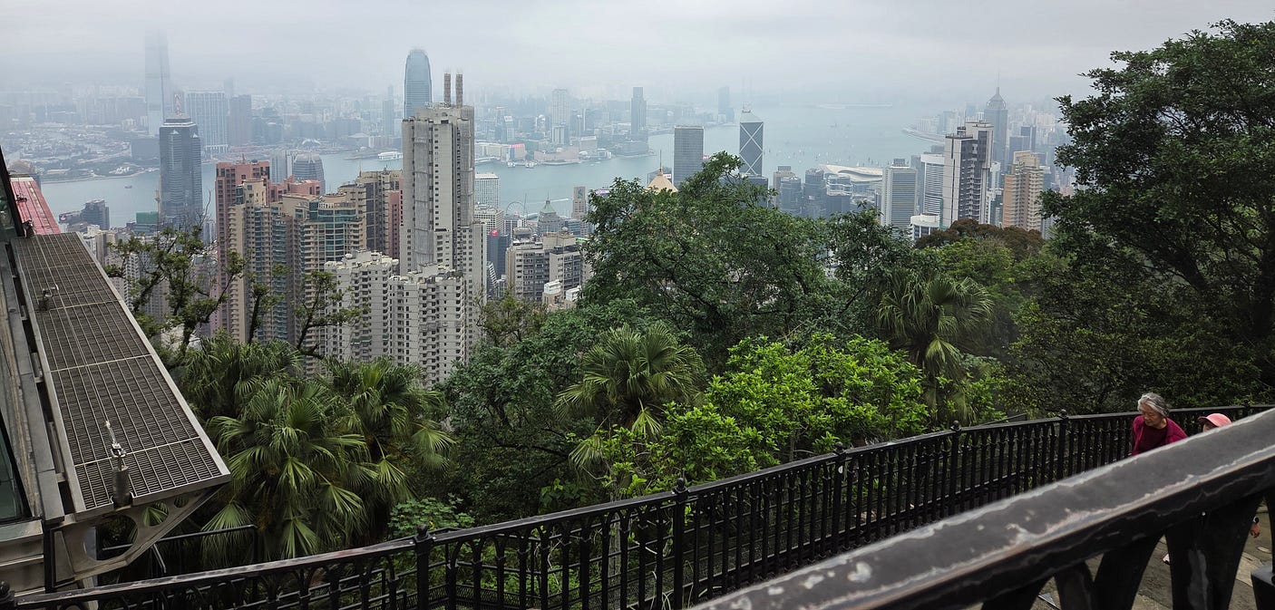
Though it is small overall, Hong Kong contains many peaks, of which the highest is 957 metres high.
Given that much of the remaining part of Hong Kong is zoned commercial, that 31 square kilometres are underwater, and that 64 square kilometres are farmed (that is really surprising!), only 80 square kilometres are left for the residents to inhabit.
For a total population of 7.5 million, that means that nearly one hundred thousand people are crammed into every square kilometre of residential ground-space!
(By contrast, the inner-city suburb of Thorndon South in Wellington, one of the densest residential areas in New Zealand, only has about 3,700 residents per square kilometre.)
Hong Kong’s population has increased more than tenfold since 1945, when it stood at a far more manageable 600,000: a population that grew to two million in the 1950s as a result of an outflow of pro-Kuomintang refugees from Mao’s China.
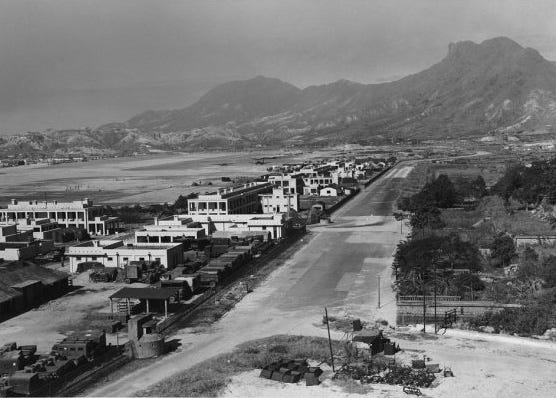
Partly as a result, Hong Kong is now the most expensive and arguably also the most exploitative city in the world for housing. According to a 2019 article called ‘The Unstoppable Housing Market in Hong Kong,’ “A UBS research [report] reveals that even those who earn twice the city’s average income would need to work for 21 years to afford a 650 sq ft flat near the city centre in Hong Kong.” And that was in 2019.
Here’s another view showing how green most of Hong Kong is, from a spot on the flanks of Victoria Peak.
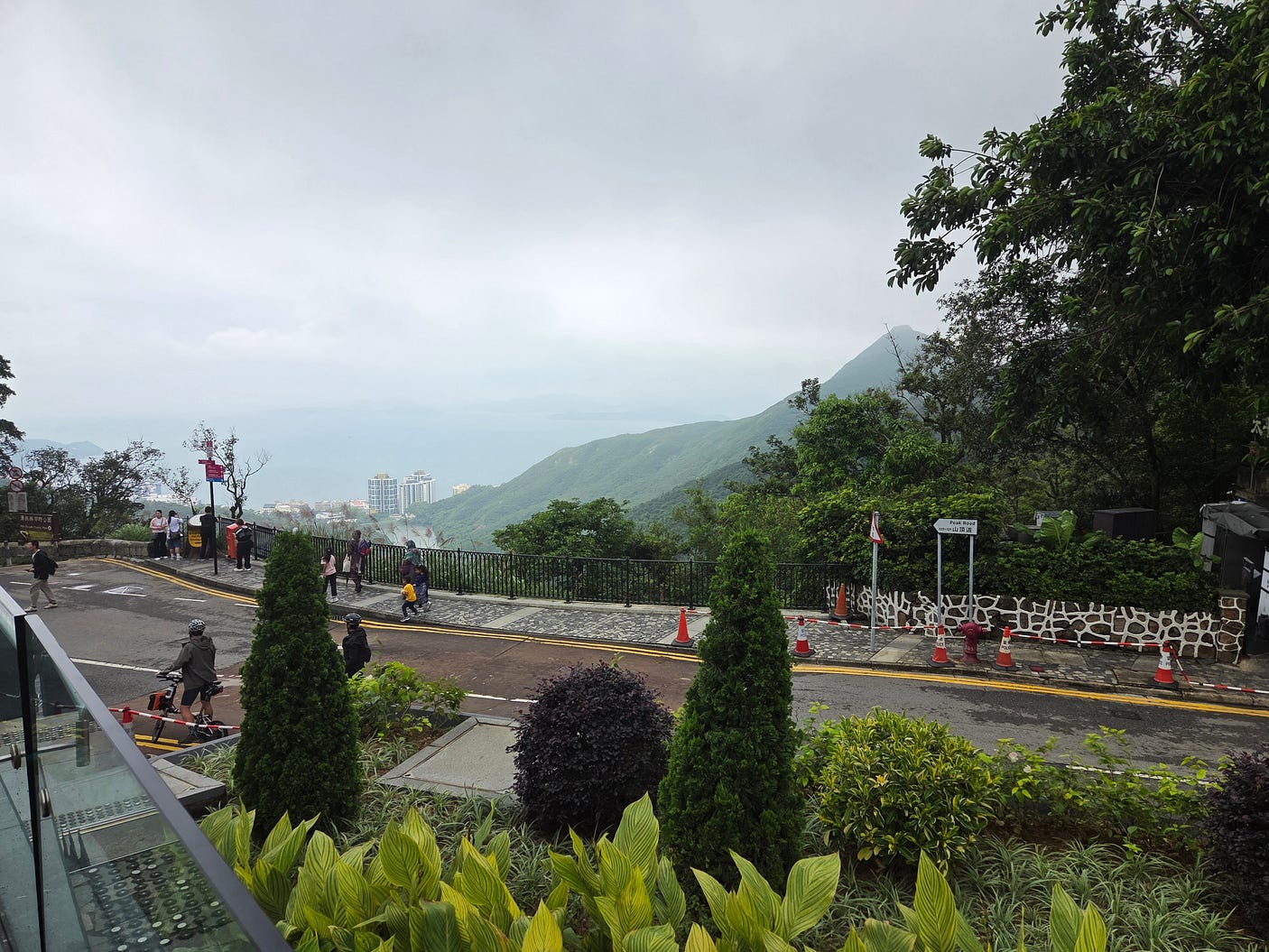
Victoria Peak, the highest peak on Hong Kong Island, is 552 metres high. As even its flanks are hundreds of metres high and thus relatively cool and breezy, Victoria Peak was the favoured area for British colonists. In fact, Chinese people weren’t allowed to live on Victoria Peak between 1907 and 1947!
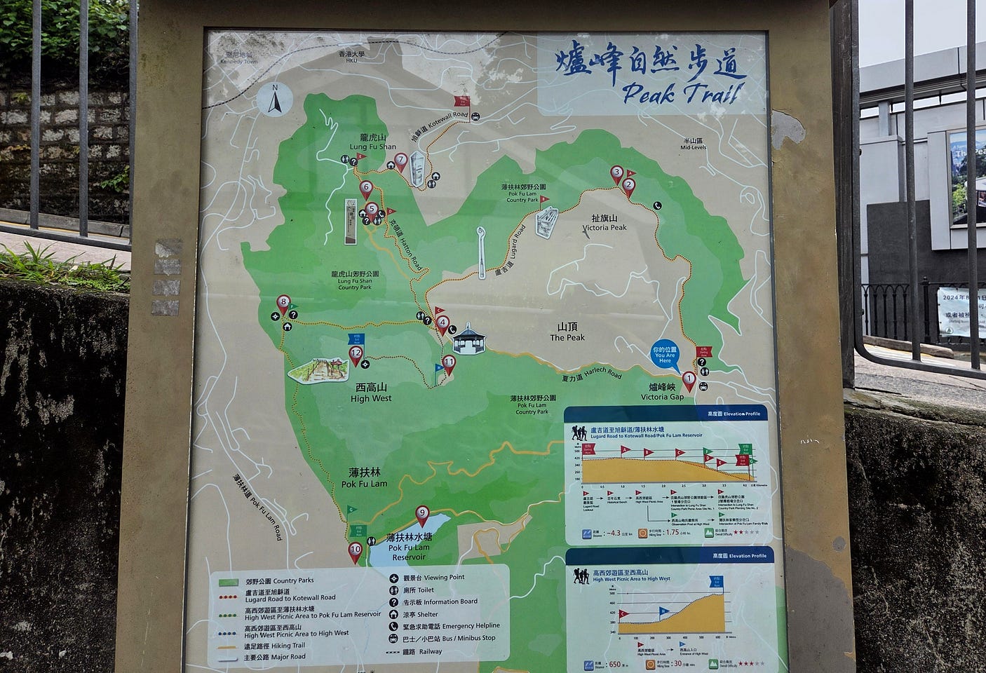
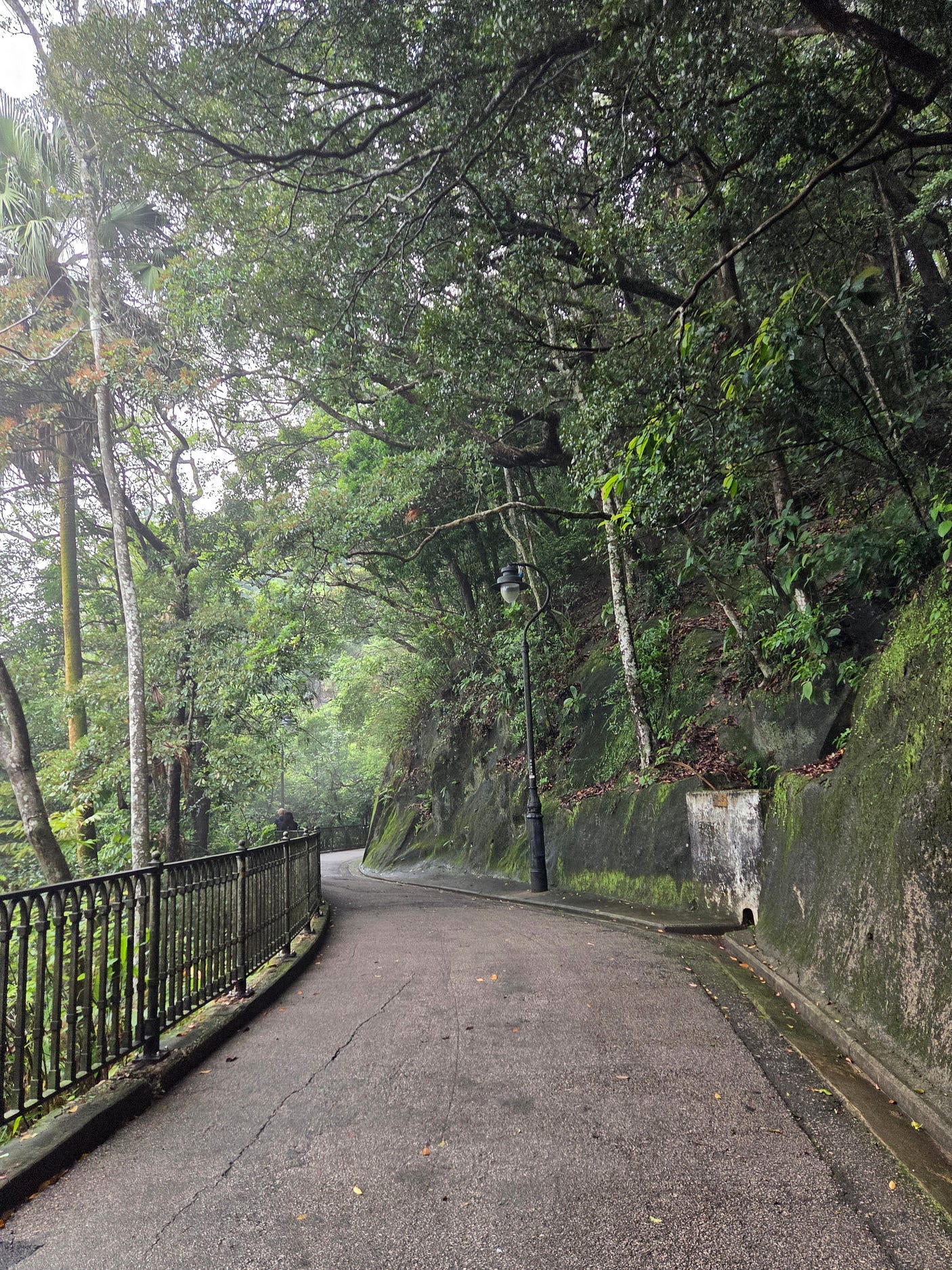
Here’s a bikeable part of the Peak Trail.
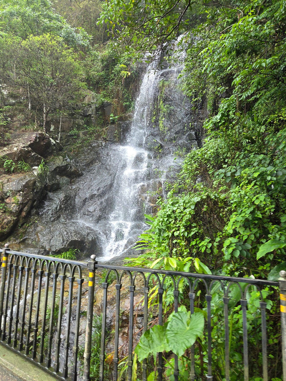
And a waterfall — as I say, Hong Kong is really green!
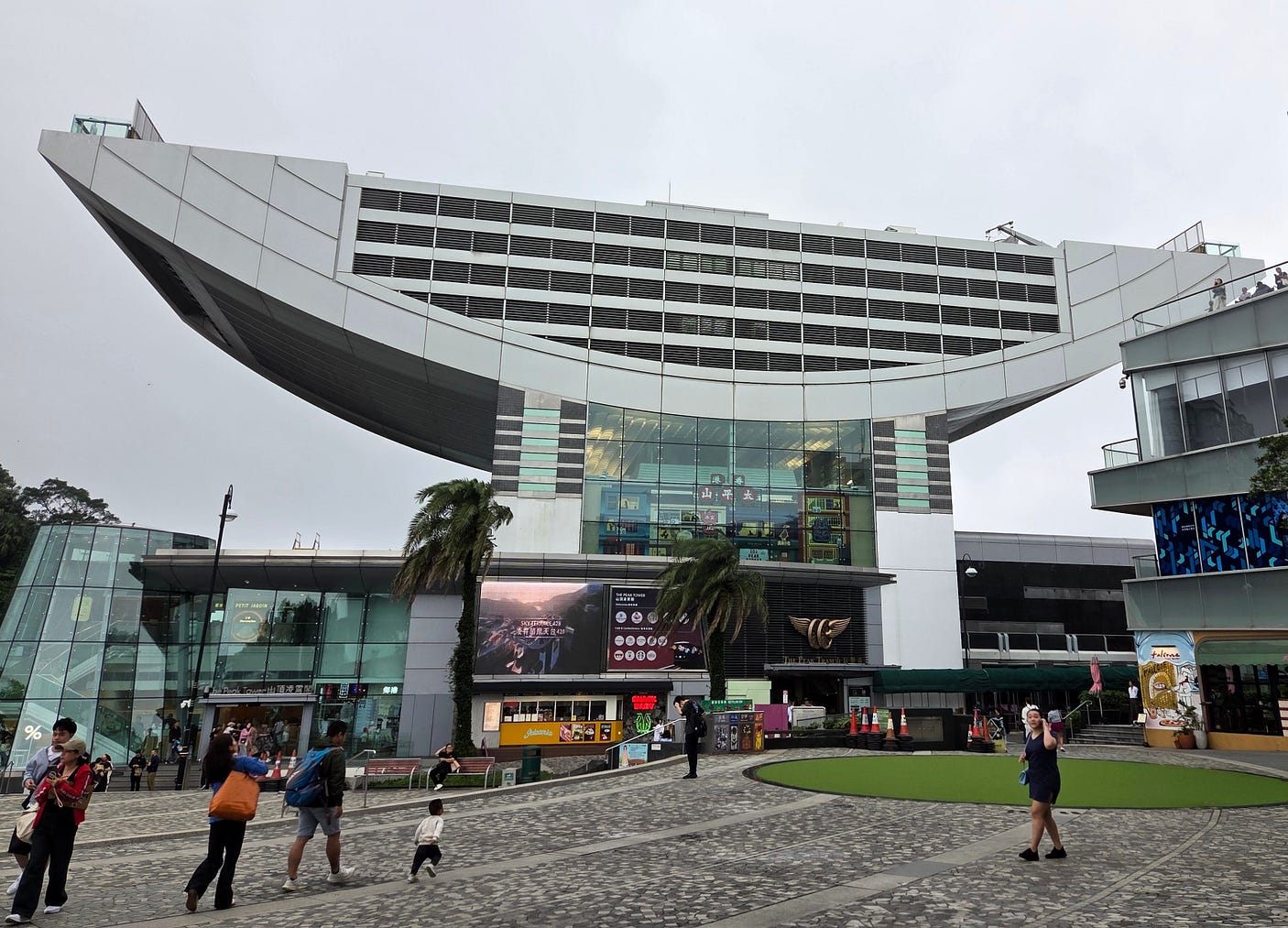
These days, there’s a shopping centre called the Peak Tower, which also serves as a terminus for the Peak Tram, first run by the British in the 1880s as a way of getting up to their refuge and still going strong today.
The other big island is Lantau Island, which is much less built-up and where much of the farmland in Hong Kong is located. Growing mountain coffee is a specialty.
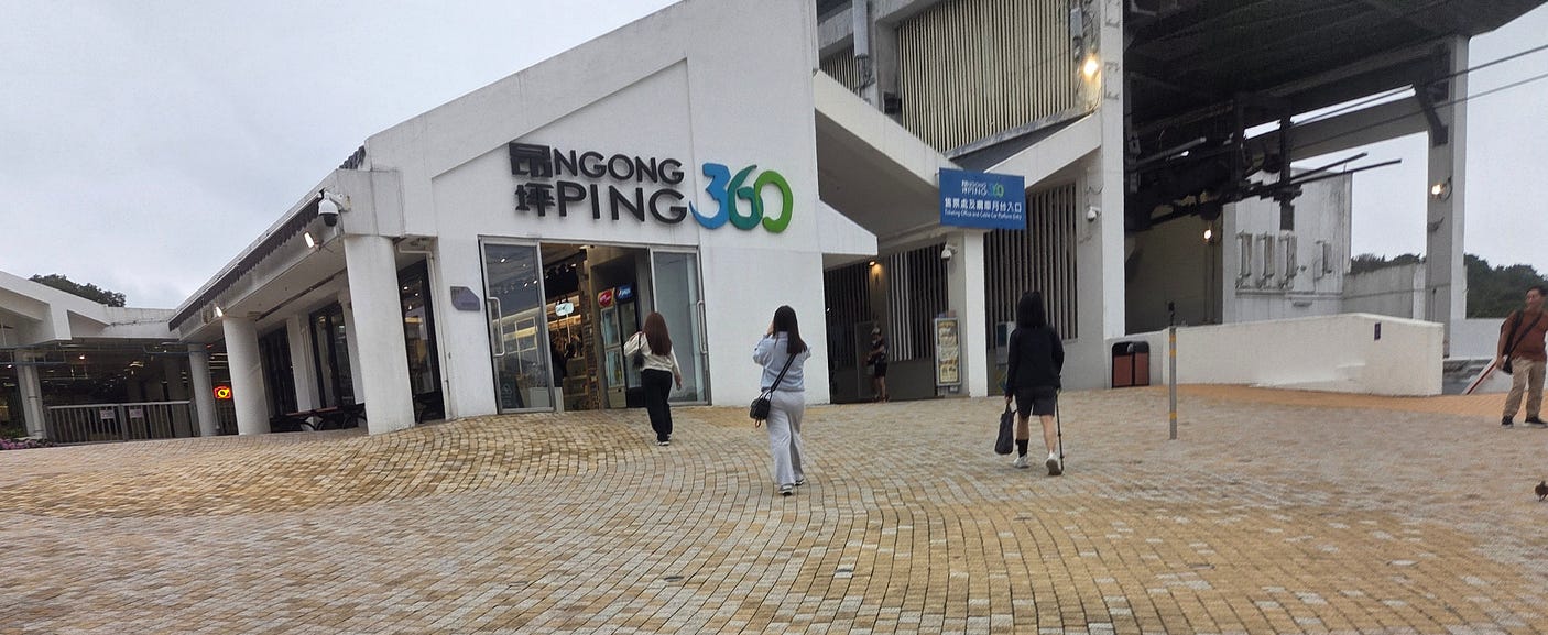
I caught regular public transport to Lantau Island, and then boarded an epic scenic cablecar called the Ngong Ping 360, which runs for 5.7 km from an urbanised area called Tung Chung, at the eastern end of Lantau Island, to the Ngong Ping Plateau.
On the way, it passes over Tung Chung Bay.
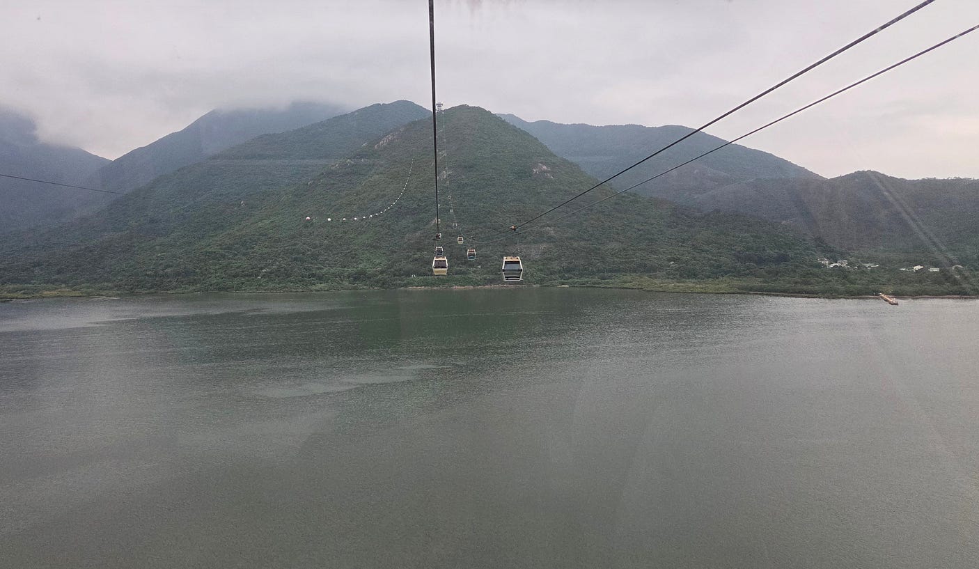
And then over the North Lantau Country Park.
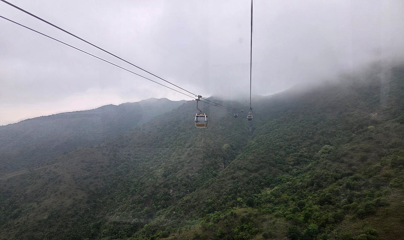
As you can see, if Hong Kong Island looks verdant but with skyscrapers along the waterfront, much of Lantau Island looks practically uninhabited. You would not think you were in Hong Kong at all!
At the plateau, you eventually catch a glimpse of the Tian Tan Buddha.
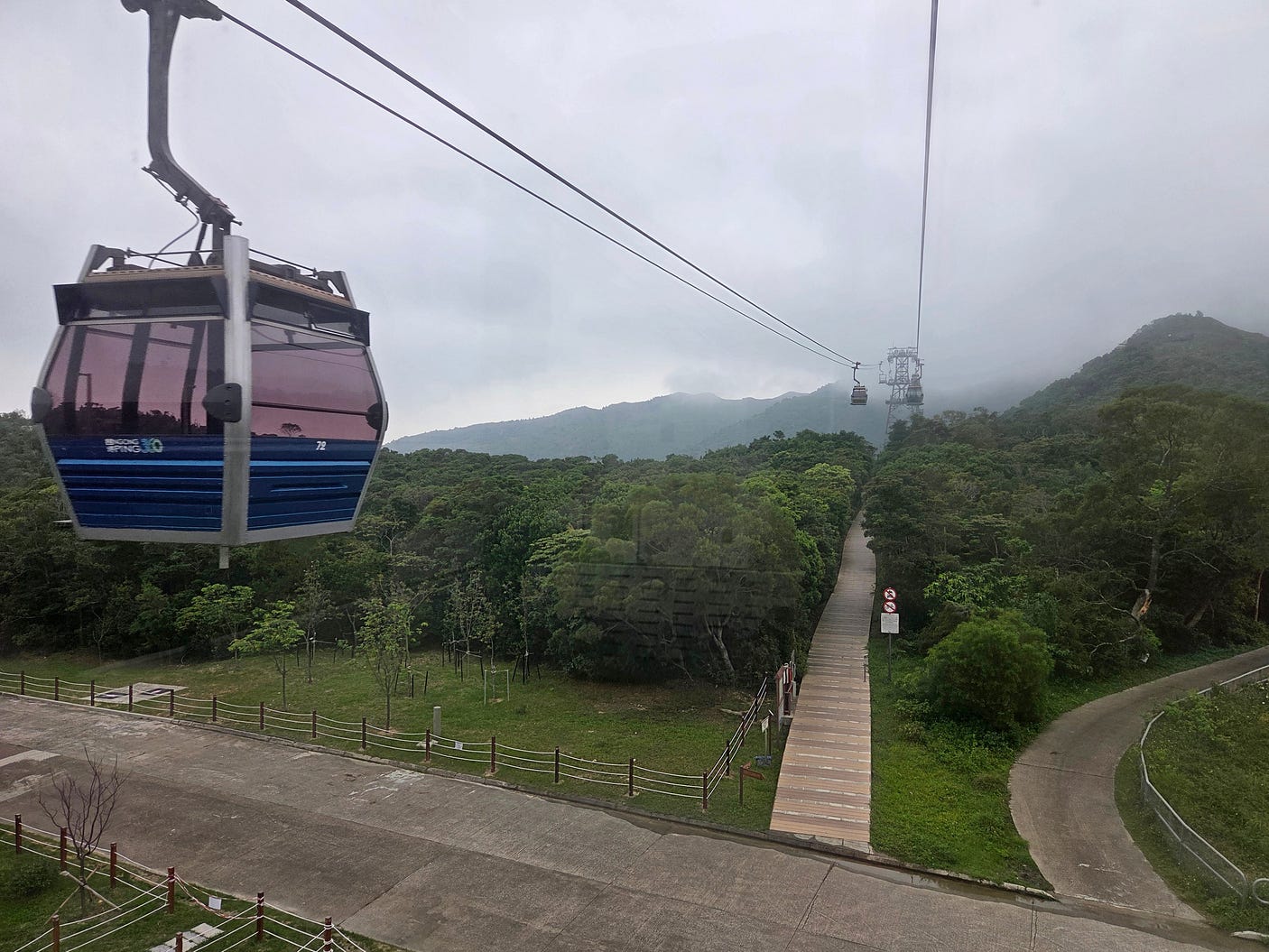
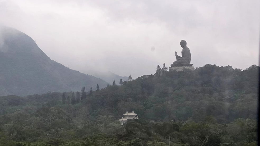
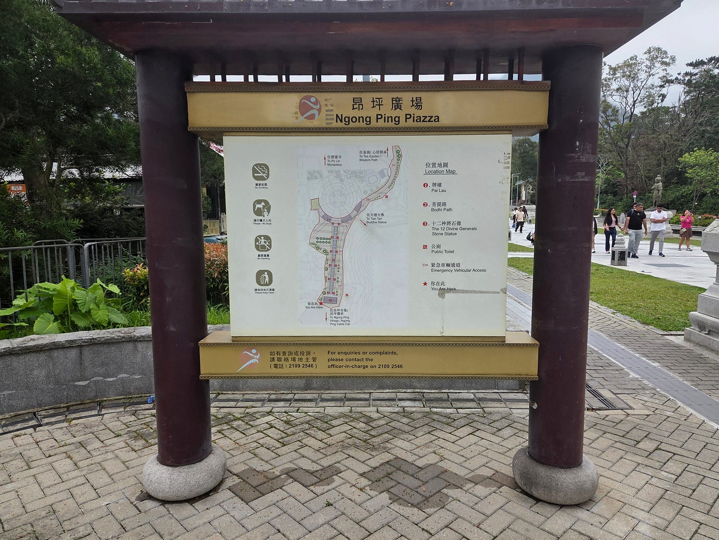
The plateau is covered in temples and a walkable piazza.
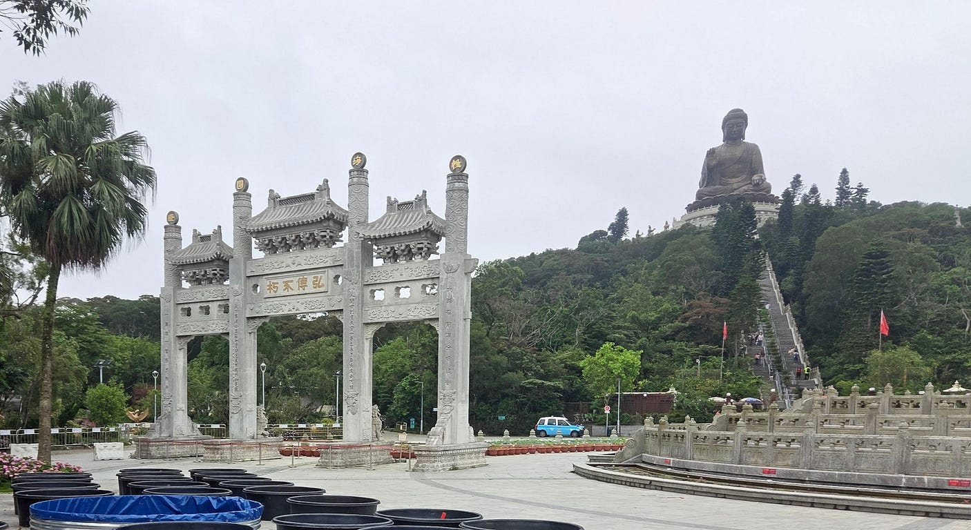
There was a ceremonial gate, and steps leading up to the Tian Tan Buddha, which looked small before but is in fact a genuinely ‘big Buddha,’ of the kind that I have also seen in Thailand.
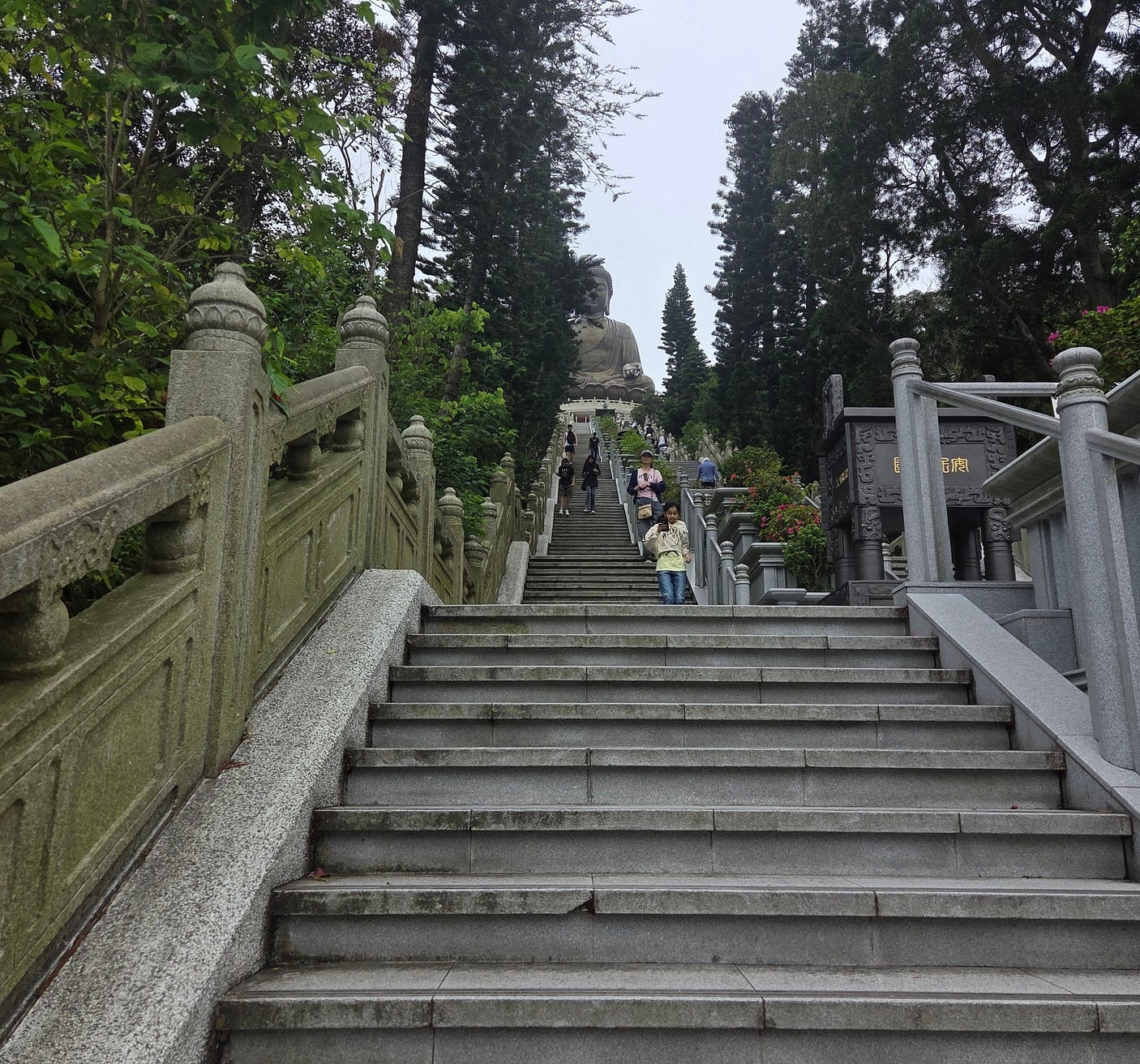
This is what it looks like walking up the steps:
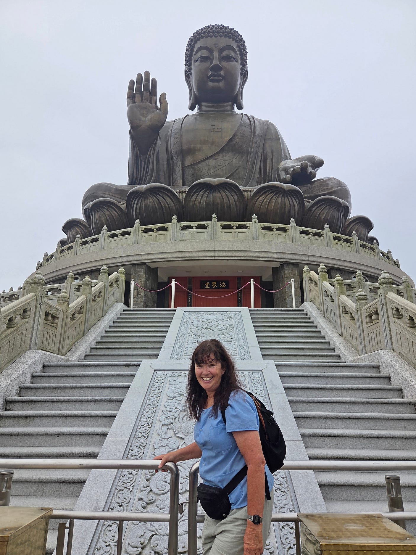
Finally, I arrived.
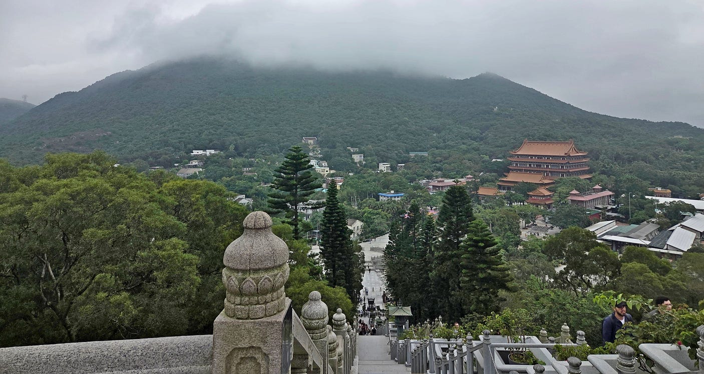
Here is what the plateau looks like, looking down the steps.
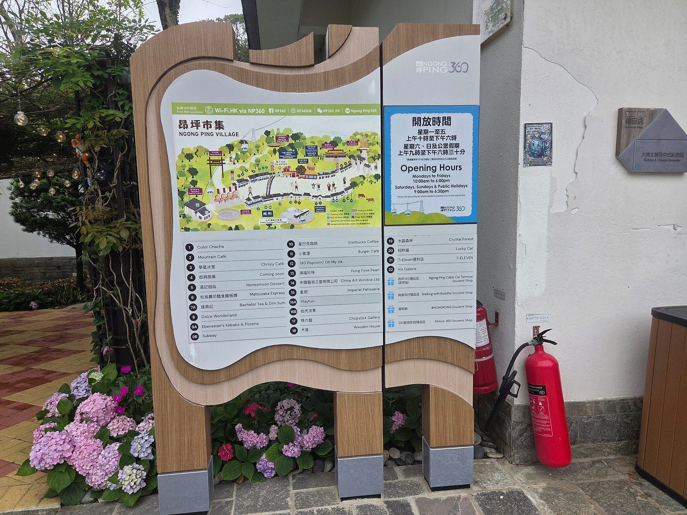
It’s actually a complete village, albeit mostly catering to visitors.
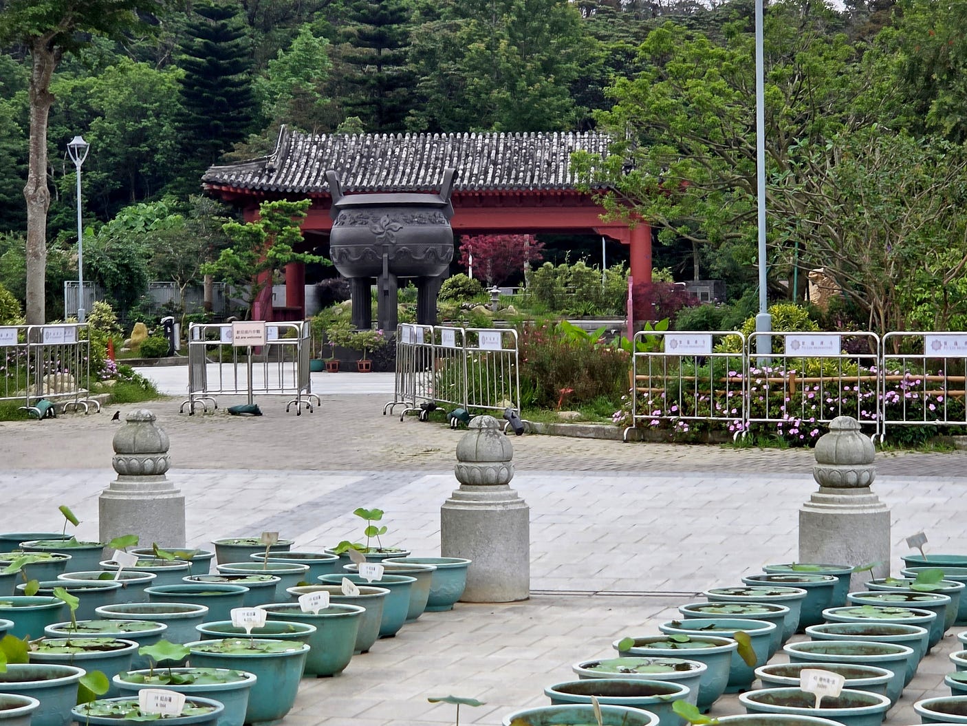
Here’s what looks like a small shrine with a huge three-legged ceremonial cauldron, of the type that is so important in Chinese culture. It bears the symbol of the Hong Kong SAR, so I suspect it is not particularly ancient.
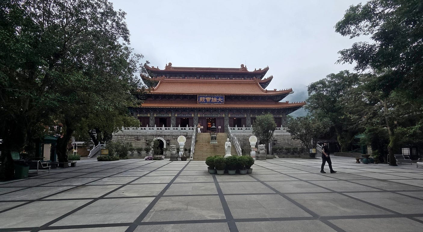
Here are some more beautiful temples amid the cloud forest.
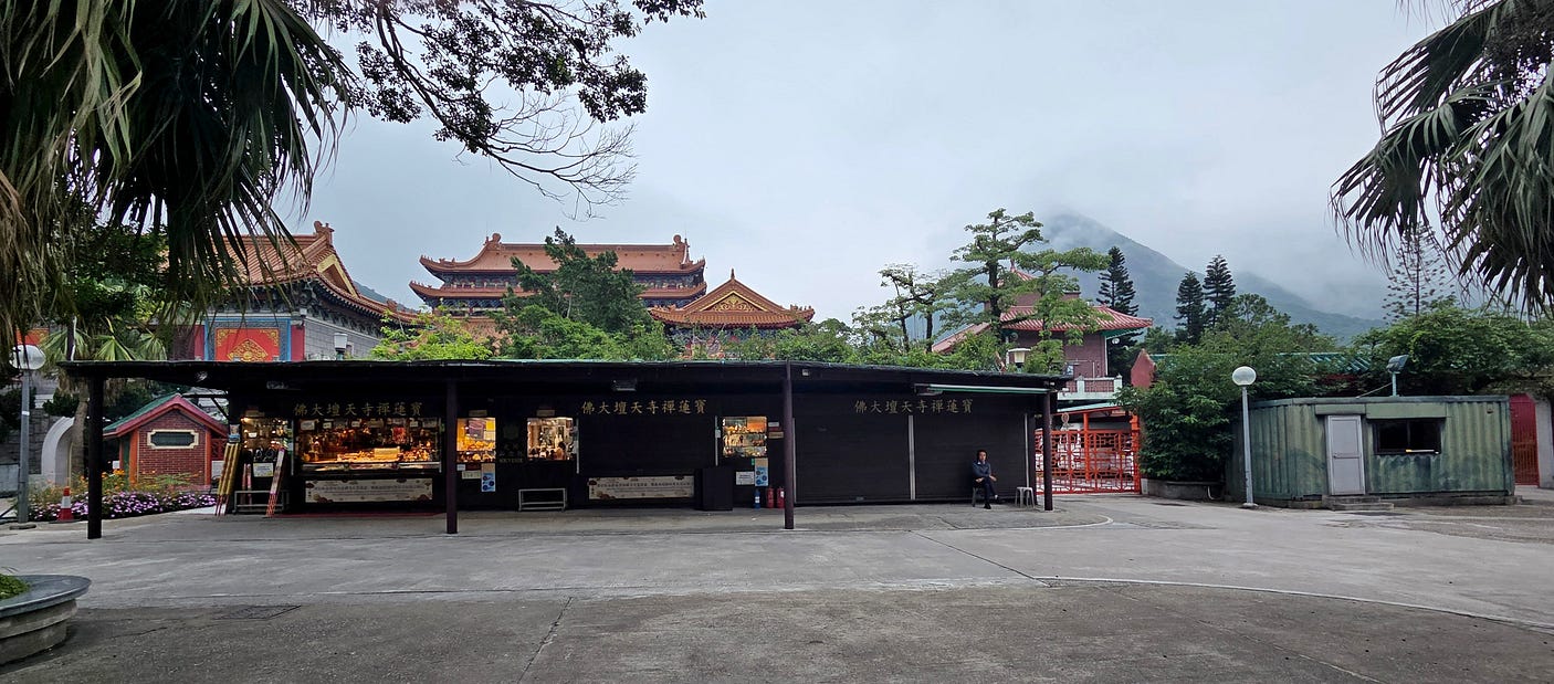
And the forecourt of one of the temples.
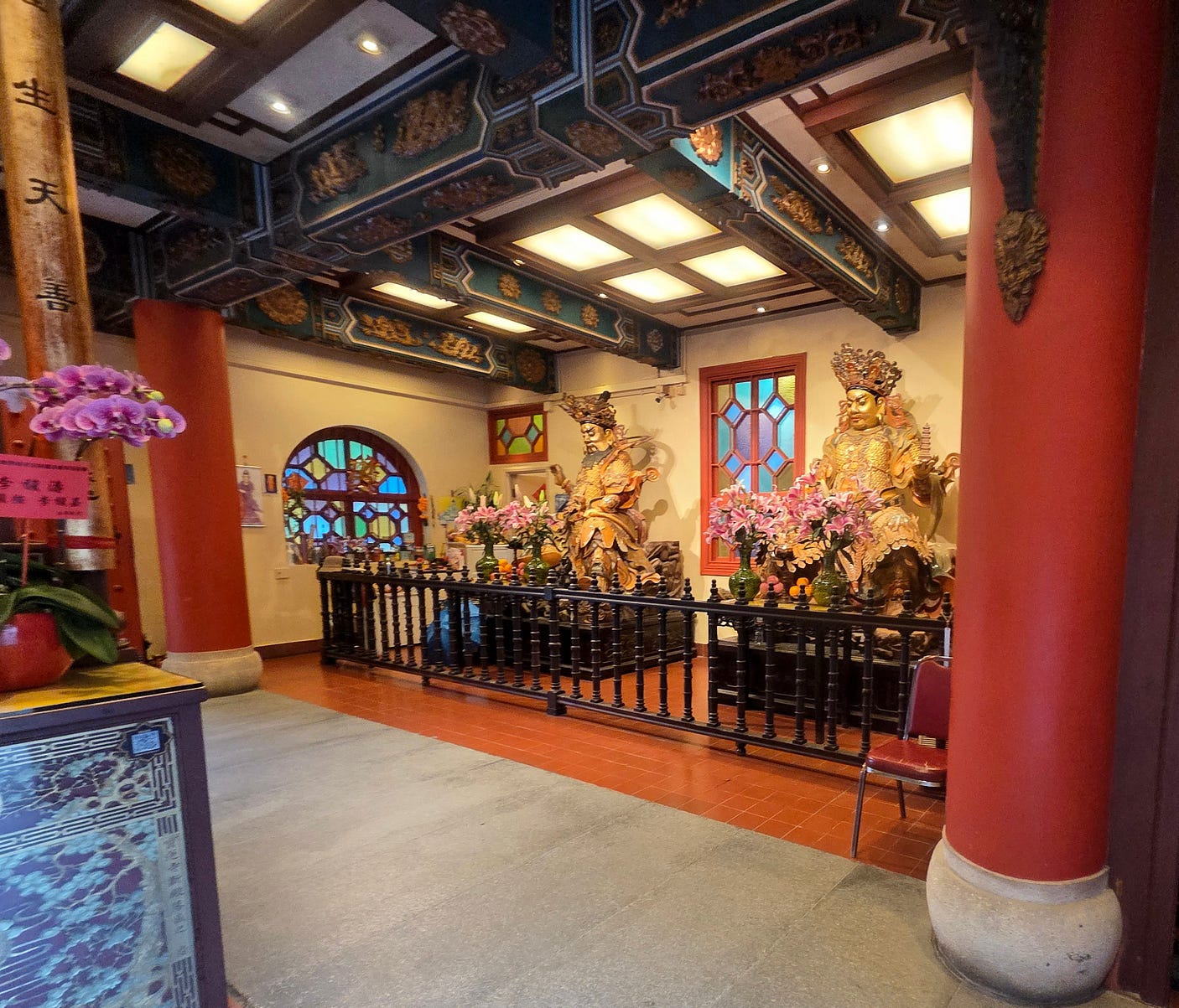
I took this photo inside one of the temples, which had stained glass windows.
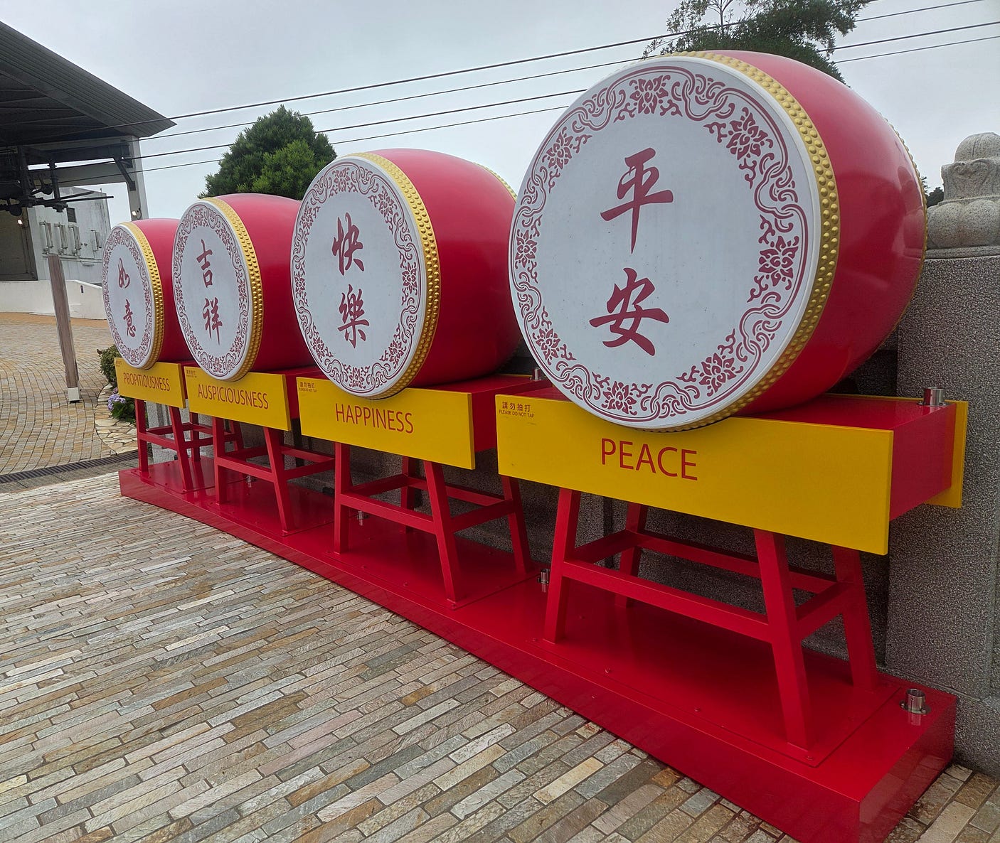
I also made sure to get some selfies next to these amazing ceremonial drums!
From there, you head back via the cablecar. It’s also possible to get to the plateau by bus. I actually took the bus up, and the cablecar back to Tung Chung, so the cablecar photos above are really of my return journey. The cablecar has two kinds of car: standard ones, and ‘crystal’ ones that give a more unobstructed view.
I was staying in the three-star Rambler Oasis Hotel, which was very handily located on the small island of Tsing Yi, between Kowloon and Lantau Island, well-reviewed and cheap, where you can stay for around NZ $100 a night or NZ $2,000 for 30 days. (At the time of writing, the NZ $ is worth about 58 cents US).
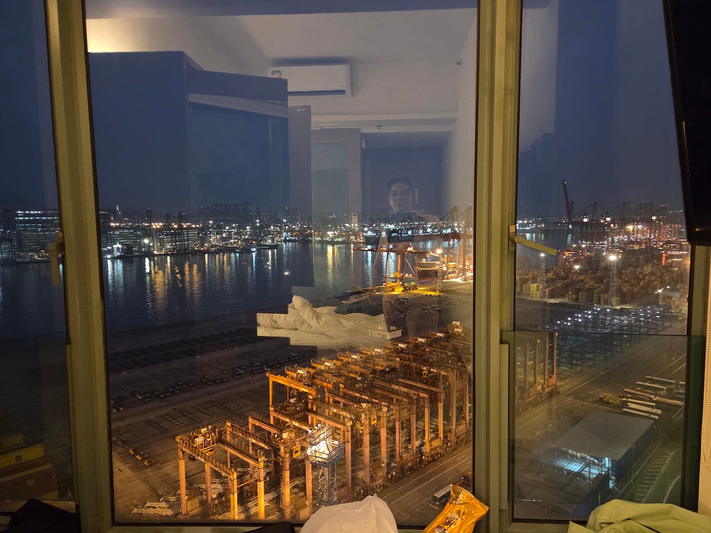
The view out the window was a bit industrial to be sure, albeit with harbour lights over the Rambler Channel. But, as I was soon to discover, many Hong Kongers have it a lot tougher.
The next day, I went for a wander downtown and on a free tour of the ‘darker side’ of Hong Kong, in a comparatively seedy part of Kowloon known as Sham Shui Po.
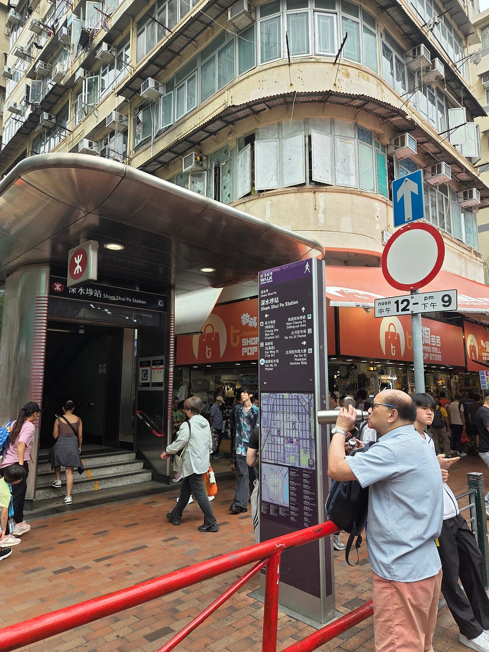
Sham Shui Po is the second-poorest of the eighteen districts into which Hong Kong is currently divided below the three-part level, and formerly the poorest.
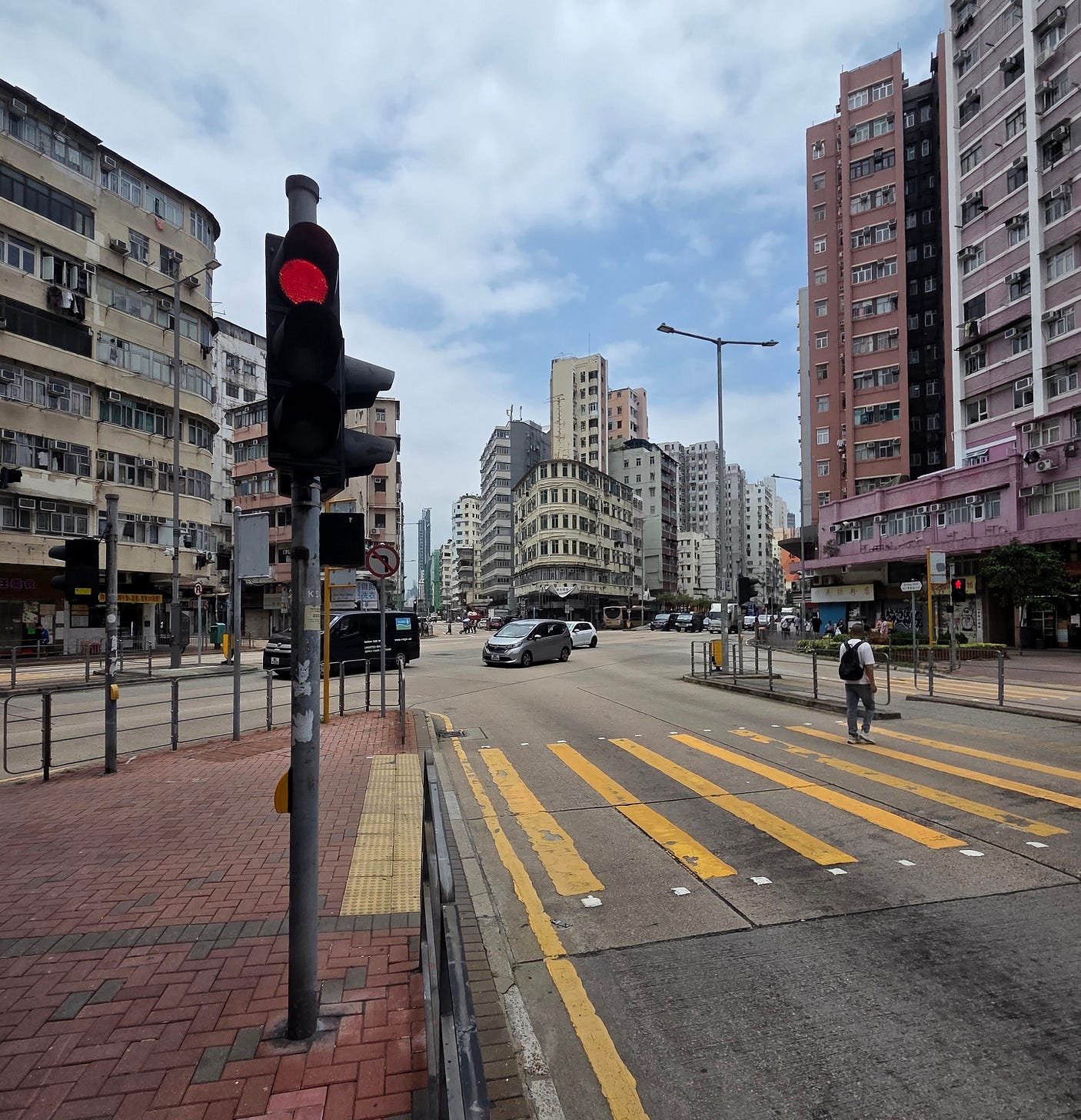
Having said that, Sham Shui Po is a fairly lively sort of place, with lots of street food and cheap electronics stores.
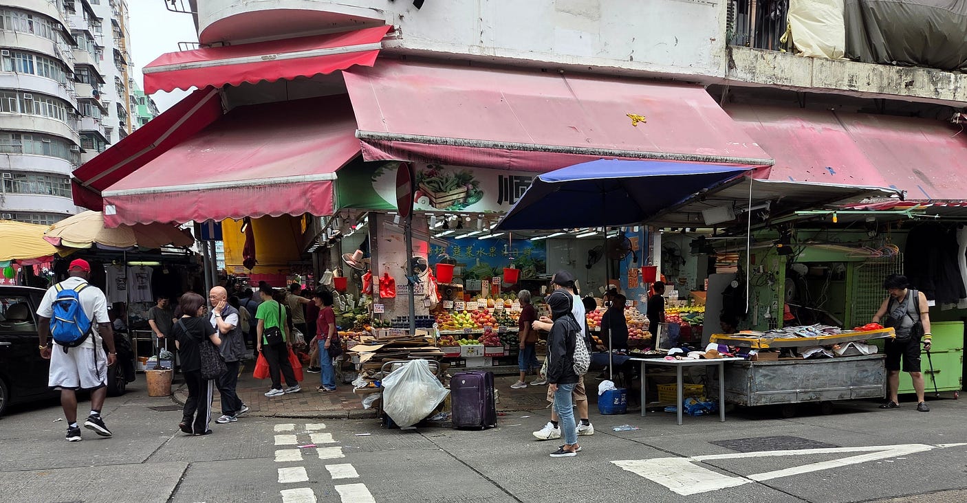
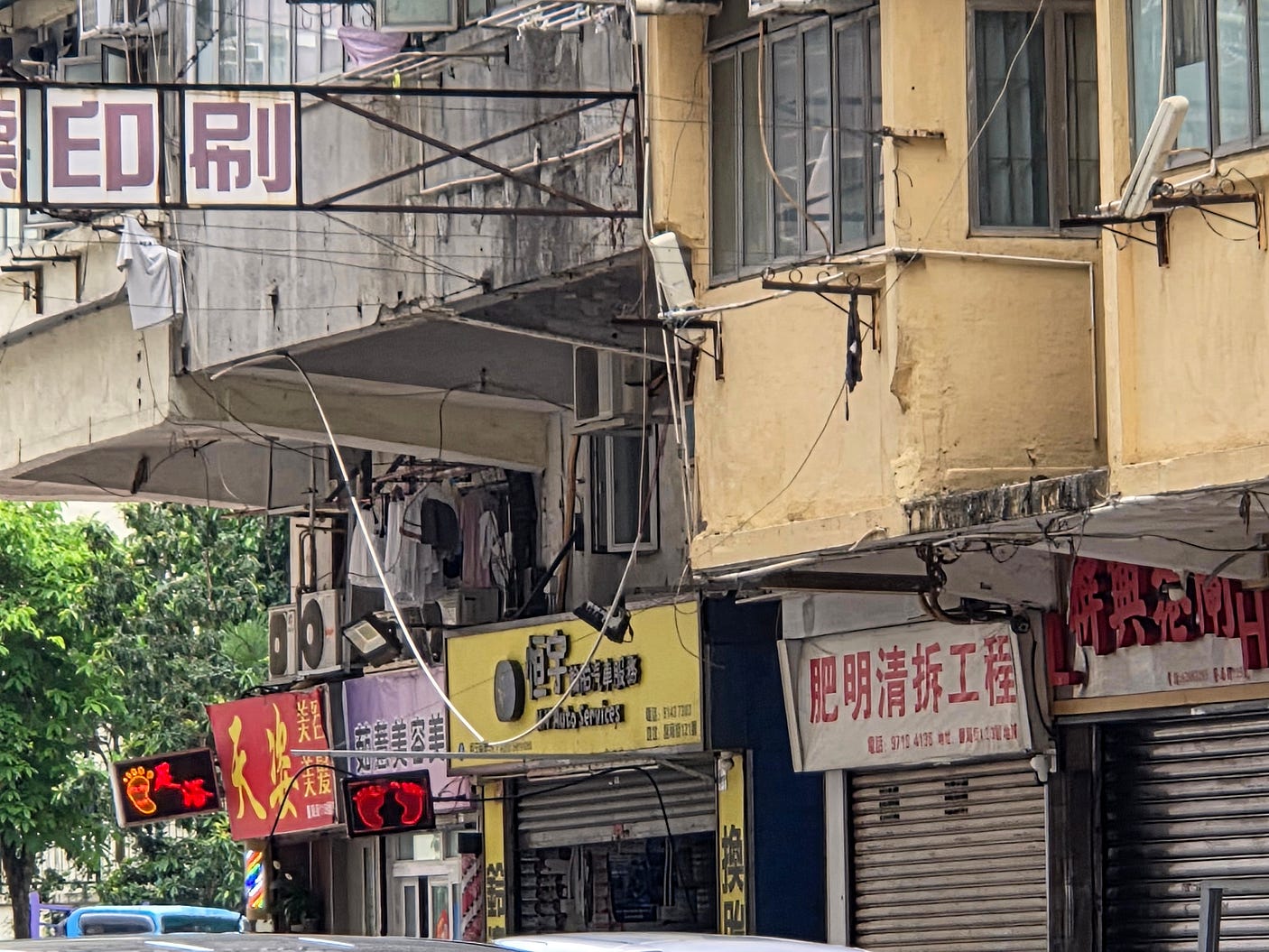
Still, a lot of the buildings looked about ready for urban renewal.
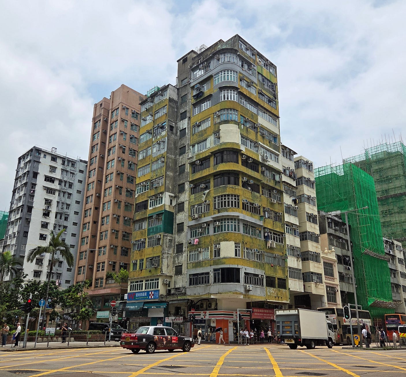
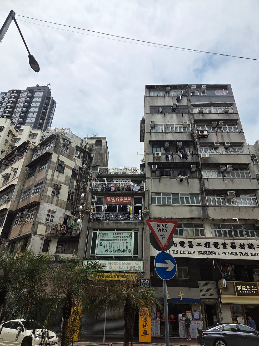
External units for air conditioners hung from every other window. Presumably, the buildings dated back to before the time when built-in air conditioning was standard.
Apparently, the density of air conditioners also serves as a yardstick of the degree of overcrowding, about which I have a bit more to say below.
I also saw plenty of the famous bamboo scaffolding for which Hong Kong has long been known (I believe they are phasing it out now).
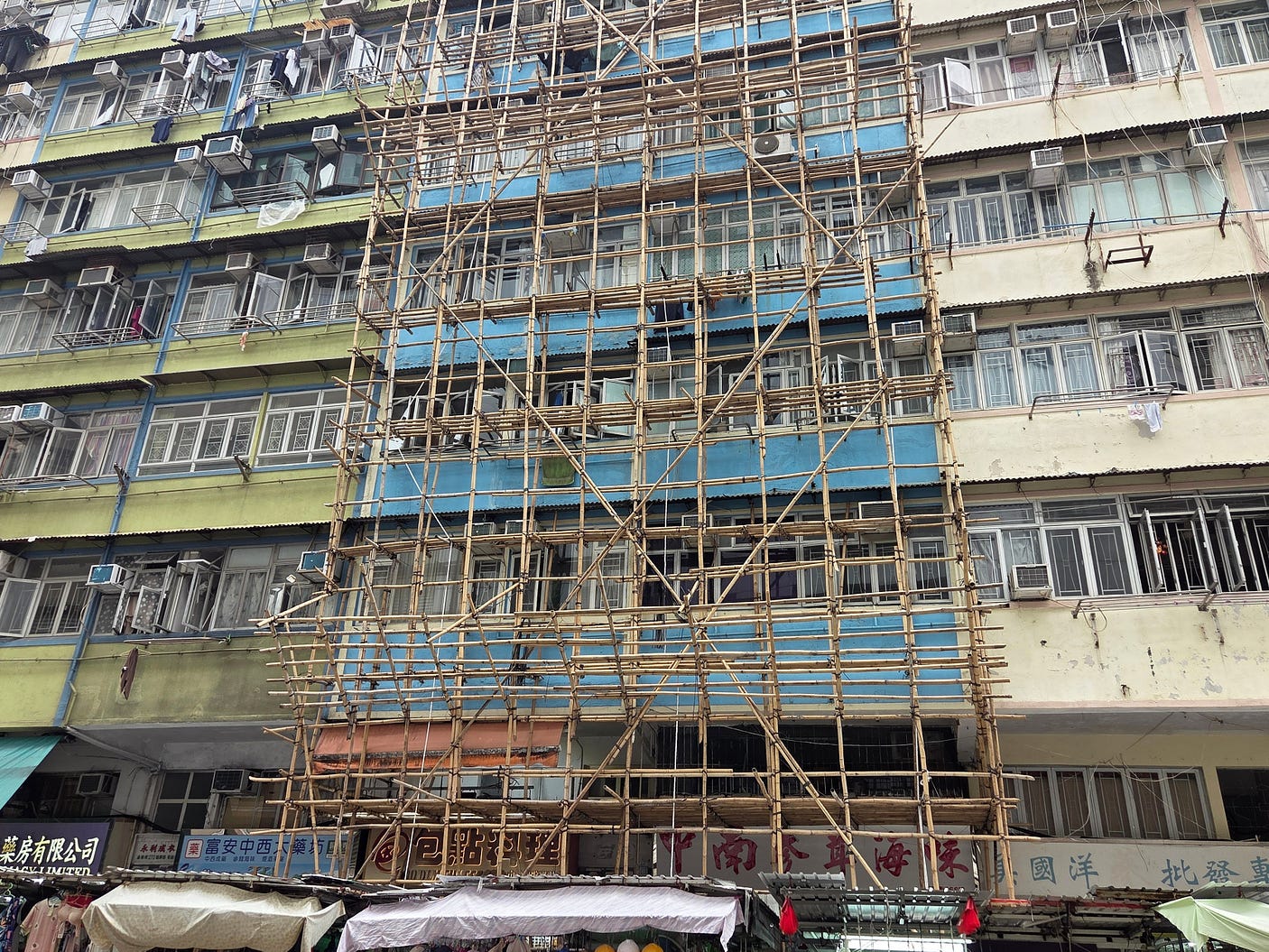
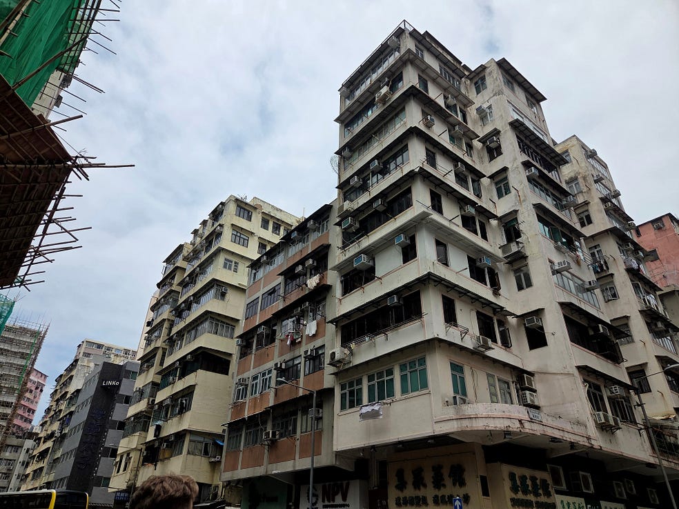
Many of the buildings were ‘jettied,’ meaning that their first floor and the ones above overhung the street level, mainly to get some extra floor space. In Britain and Europe, jettying is quite common in buildings from the Middle Ages and the Elizabethan period, giving them the real Lord of the Rings look, though Kowloon’s examples of jettying were not quite so picturesque.
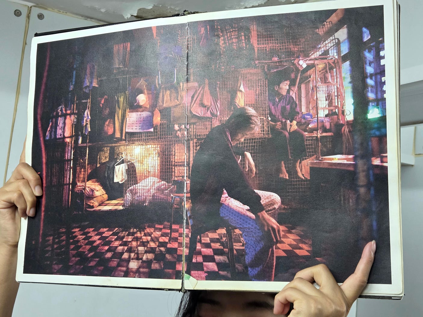
The real horror of these neighbourhoods lies with the so-called ‘cage homes,’ as shown in the following photo held up by our guide, in which about 220,000 people still live. Tiny flats are subdivided further into cages, in which people doss down.
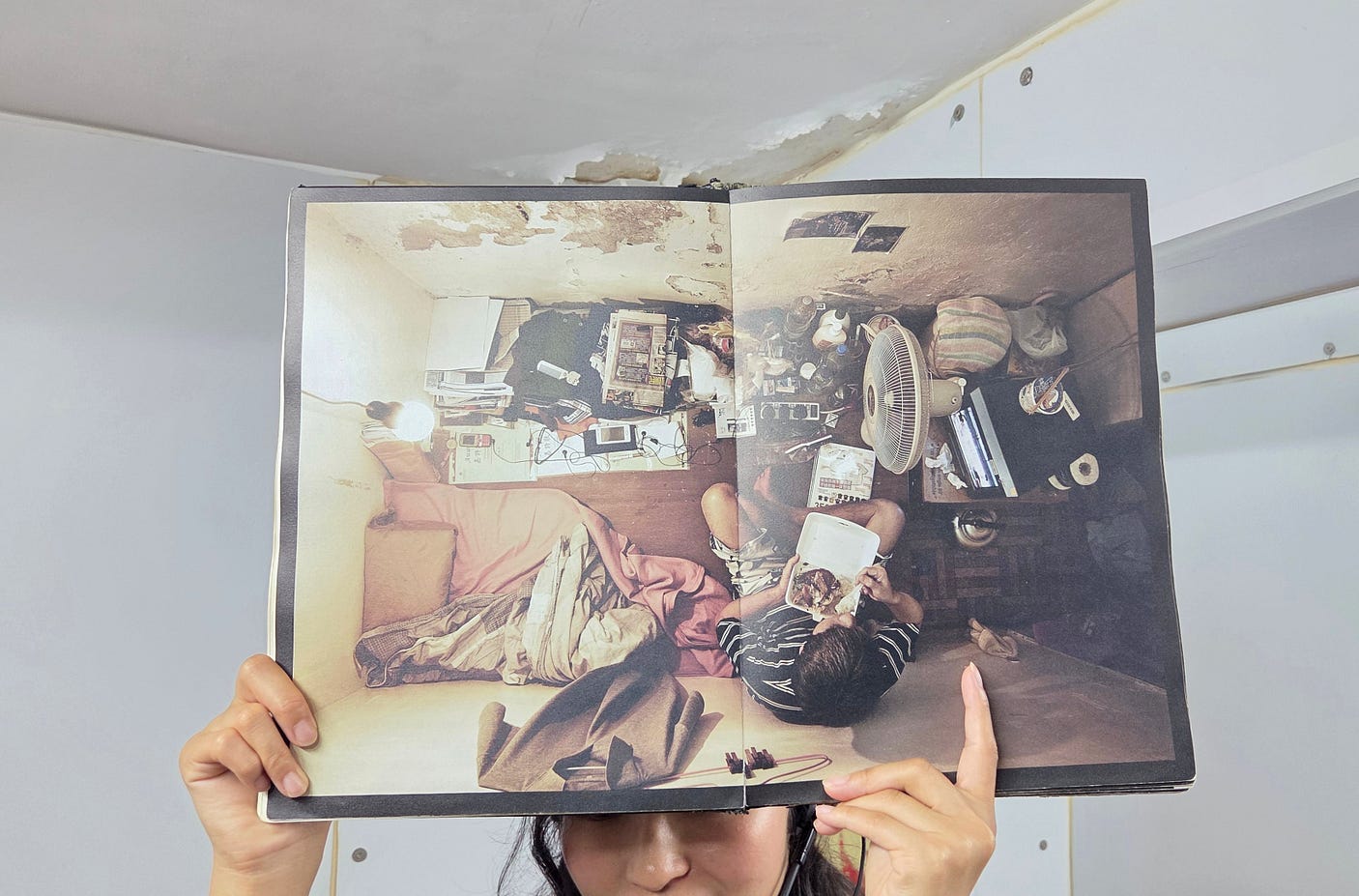
The same sort of cubicles, subdivided with plywood, are called ‘coffin homes.’
We visited an organisation called SOCO, the Society for Community Organization, which has been working with the poor of Hong Kong since 1971.
Here’s another image that we were shown:
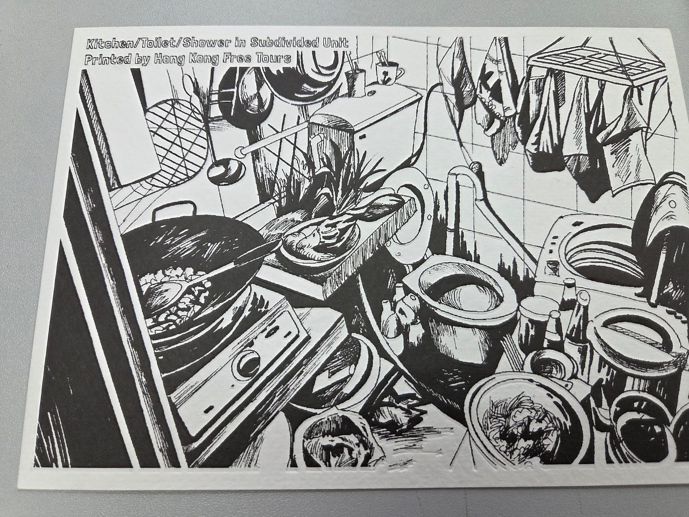
A lot of these older slum buildings aren’t really all that tall by the standards of today. Despite all the problems caused by the collision of geography and population growth, it ought to be possible to remove the old blight and put in new buildings with much greater floorspace. I wouldn’t like to be living in one of these old tenements if there was an earthquake, either.
As in other places, some of the locals resent the way that new arrivals to Hong Kong, who are continually arriving, mainly from the mainland, are housed in the limited social housing that is available.
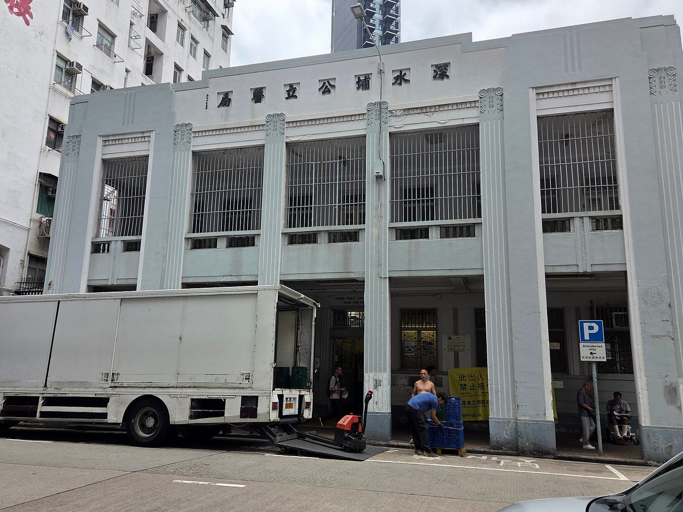
There are, however, more positive aspects even of a place like Sham Shui Po. Here’s the local Art Deco medicine dispensary, serving the community since the 1930s (when, as I mentioned, the Hong Kongers were far fewer in number.)
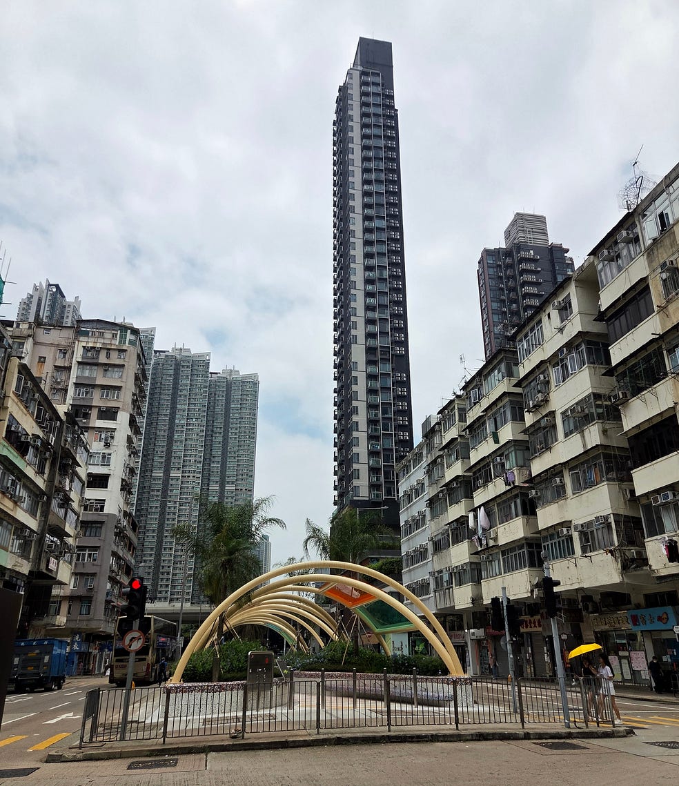
And there have been some attempts at reviving, improving, and greening the streets between the tenements. The next photo shows one such iniative, along with some new tower blocks that are far taller than the older ones around them.
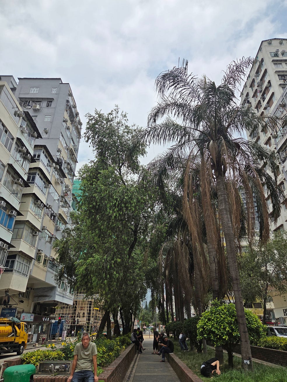
Here’s a greened-up area in the middle of the streets, though I think I can spot at least one drug addict.
What else can I add?
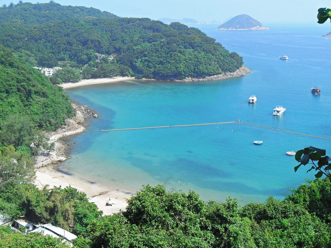
Well, first and foremost, partly because so much of Hong Kong is actually in a fairly wild and natural condition, there are many attractive beaches, some of them on the smaller Outlying Islands as well as the mainland, Hong Kong Island, and Lantau Island.
The beaches shown in the next photograph are at Clear Water Bay, in the New Territories east of Kowloon. About the only place that doesn’t have any beaches of note is Kowloon itself, where the waterfront is entirely in wharves and embankments.
There is, of course, a Hop On-Hop Off bus, though I didn’t go on it.
Evening cruises on Victoria Harbour are well worth it, particularly so for as long as there is a nightly light show called ‘A Symphony of Lights.’ However, this light show is being retired toward the end of 2026, in favour of more occasional festivals of lights.
Finally, I totally recommend Hong Kong Free Tours, for which you can also download its app. Its free weekly walking tours, right now, are:
You can also organise customised, non-free tours for travel, education, and business clients.
Lastly, it pays to tip your free tour guides from about 100 to 200 Hong Kong dollars per person, which amounts to around NZ $20 to $40.
Next week, I head to the nearby former Portuguese colony of Macao.
Subscribe to our mailing list to receive free giveaways!

