Giveaways
FOLLOWING on from last week’s post, this one continues my journey onward through the southern half of the Westland District, from Fox Glacier to Jackson Bay.
I roamed around the district a fair bit. But I will describe the beautiful sights of this part of New Zealand in the same way as last week’s, namely, from north to south.
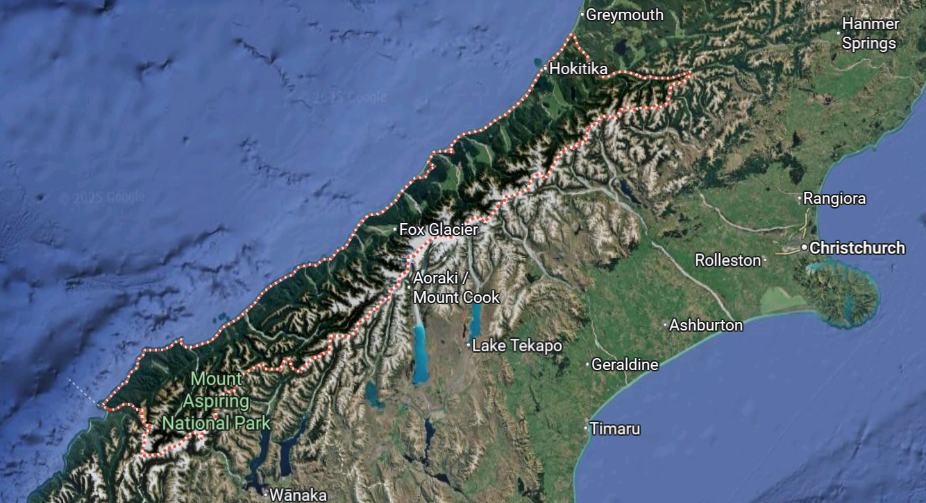
Though you could travel for 330 km, as the crow flies, without leaving the Westland District, it only has a permanent population of just over nine thousand. So, all the towns are fairly small, even Hokitika. This is probably because of the district’s sheer ruggedness, which by the same token makes it a fabulous destination for the tourist and those passing through.
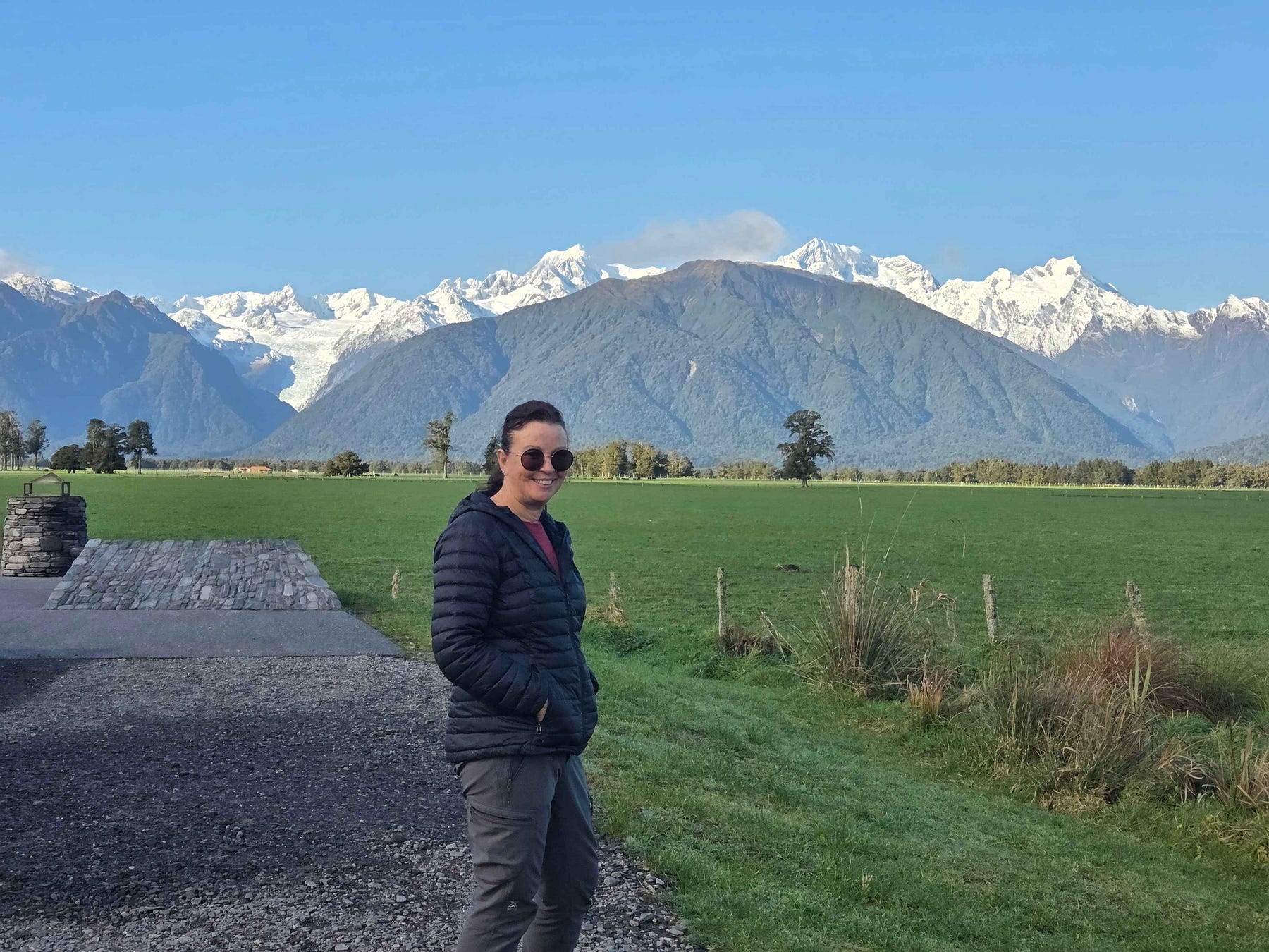
From north to south, this second half of the journey commences at Fox Glacier, the sister township to Franz Josef.
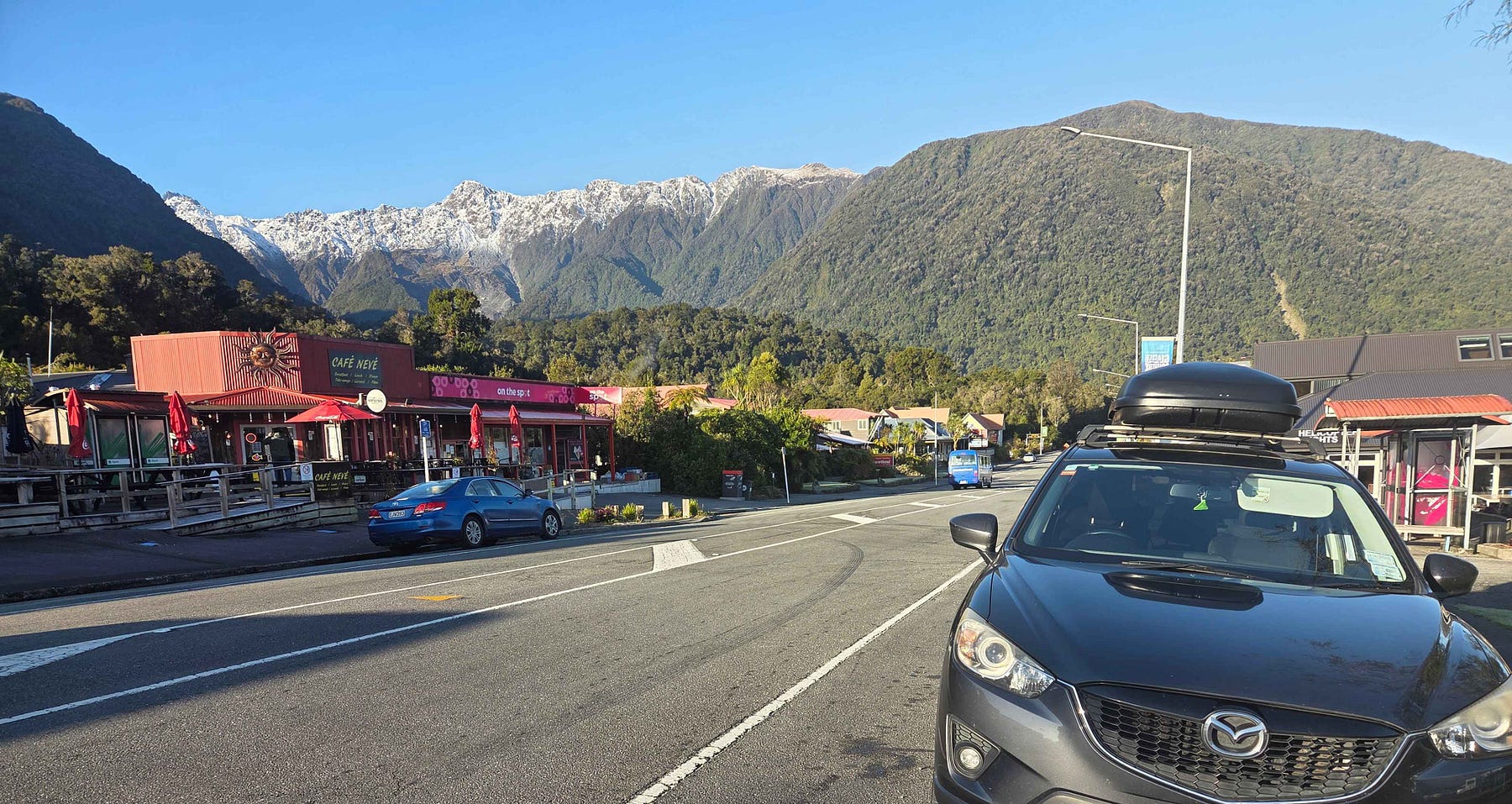
Like Franz Josef, Fox Glacier is the jumping-off point for another scenic glacier of the same name as the township.
Though the two townships are not very far apart, when we passed through, the petrol in Fox Glacier was a lot cheaper than the petrol in the larger and more commercialised village of Franz Josef. Hokitika was cheaper again.
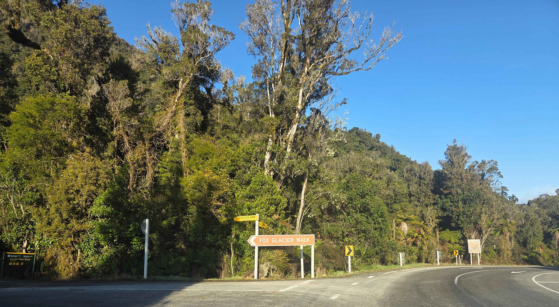
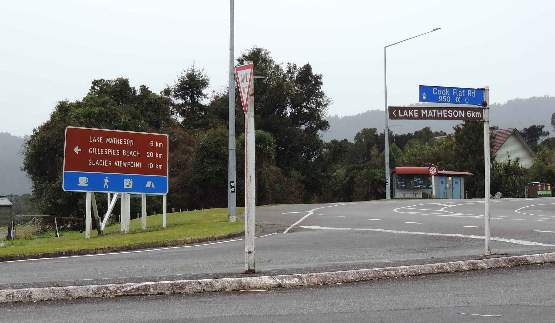
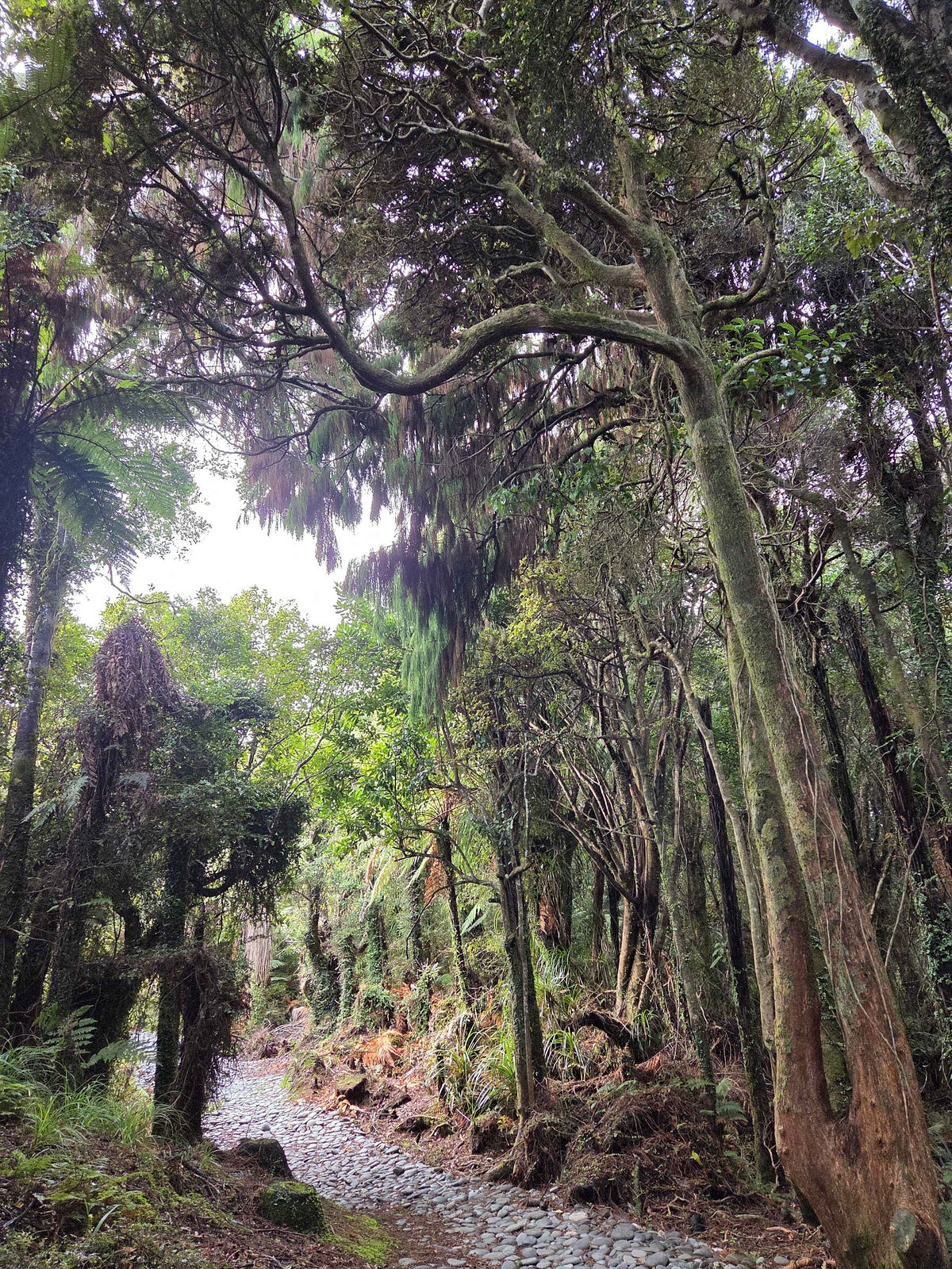
Here is a photo of the turnoff to the Fox Glacier Walk and the Glacier View.
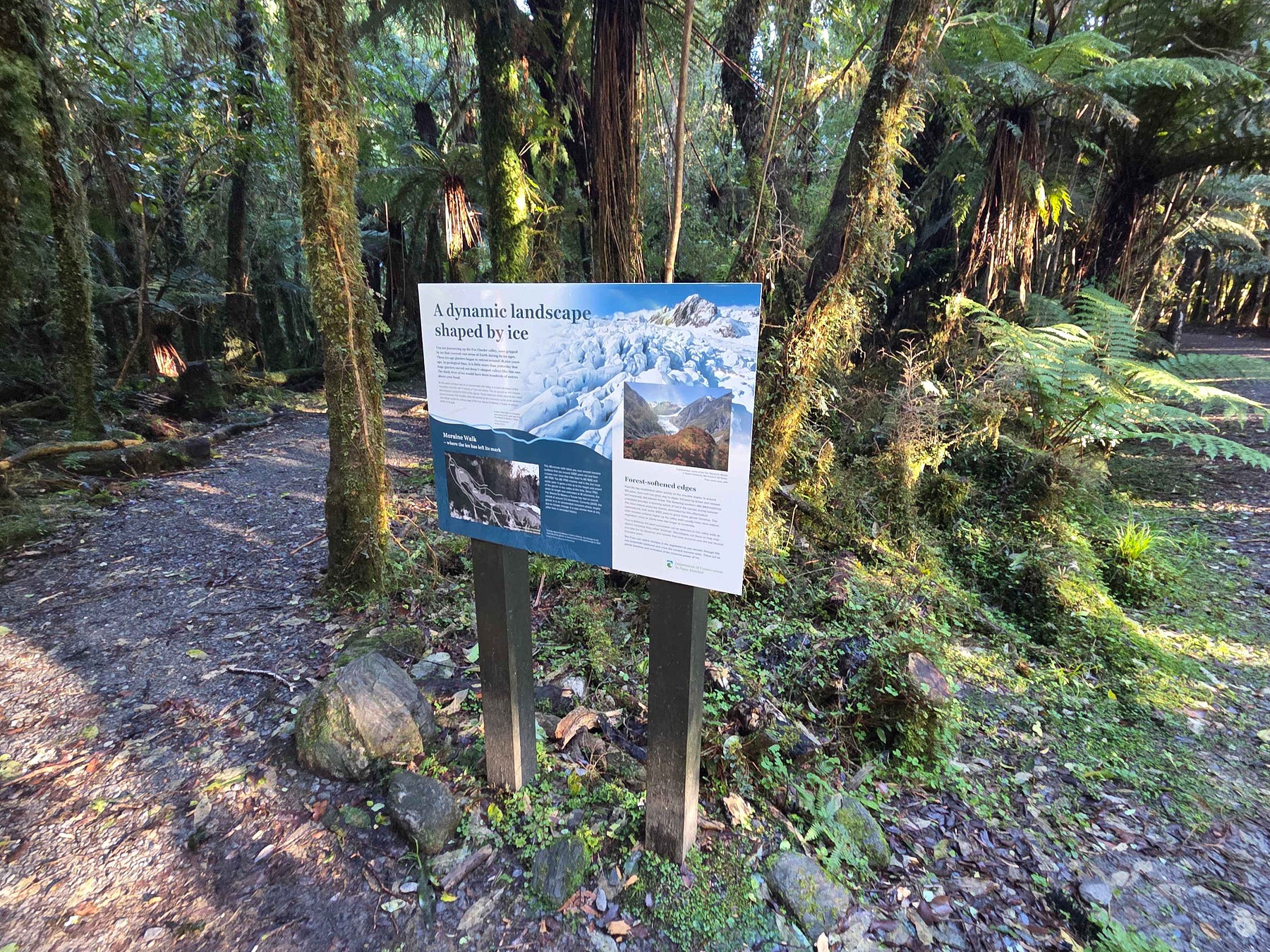
An information panel describes how the local landscape was “shaped by ice.”
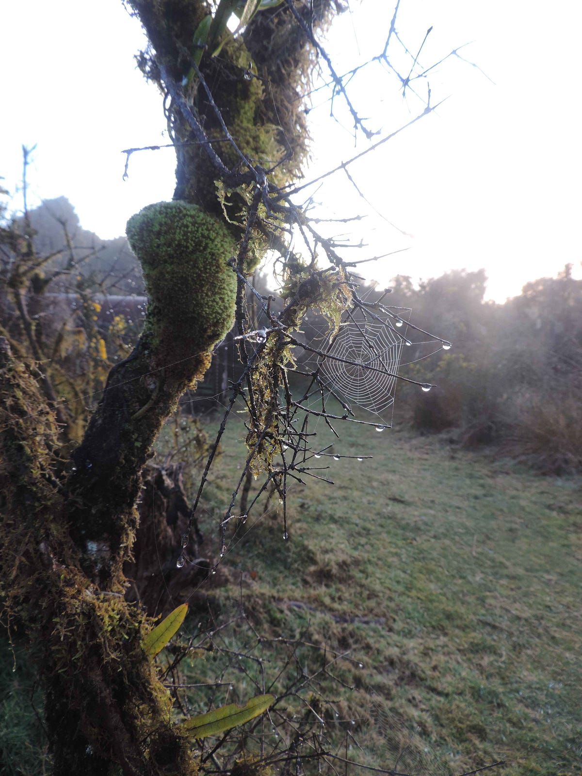
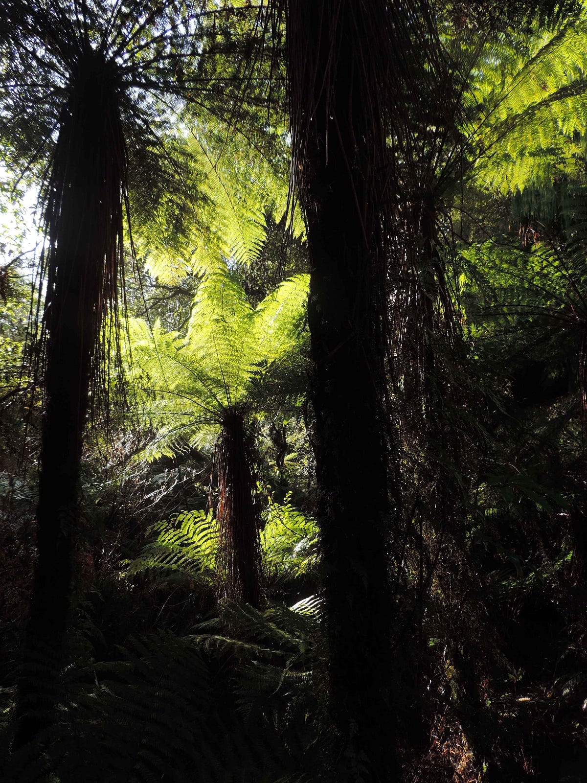
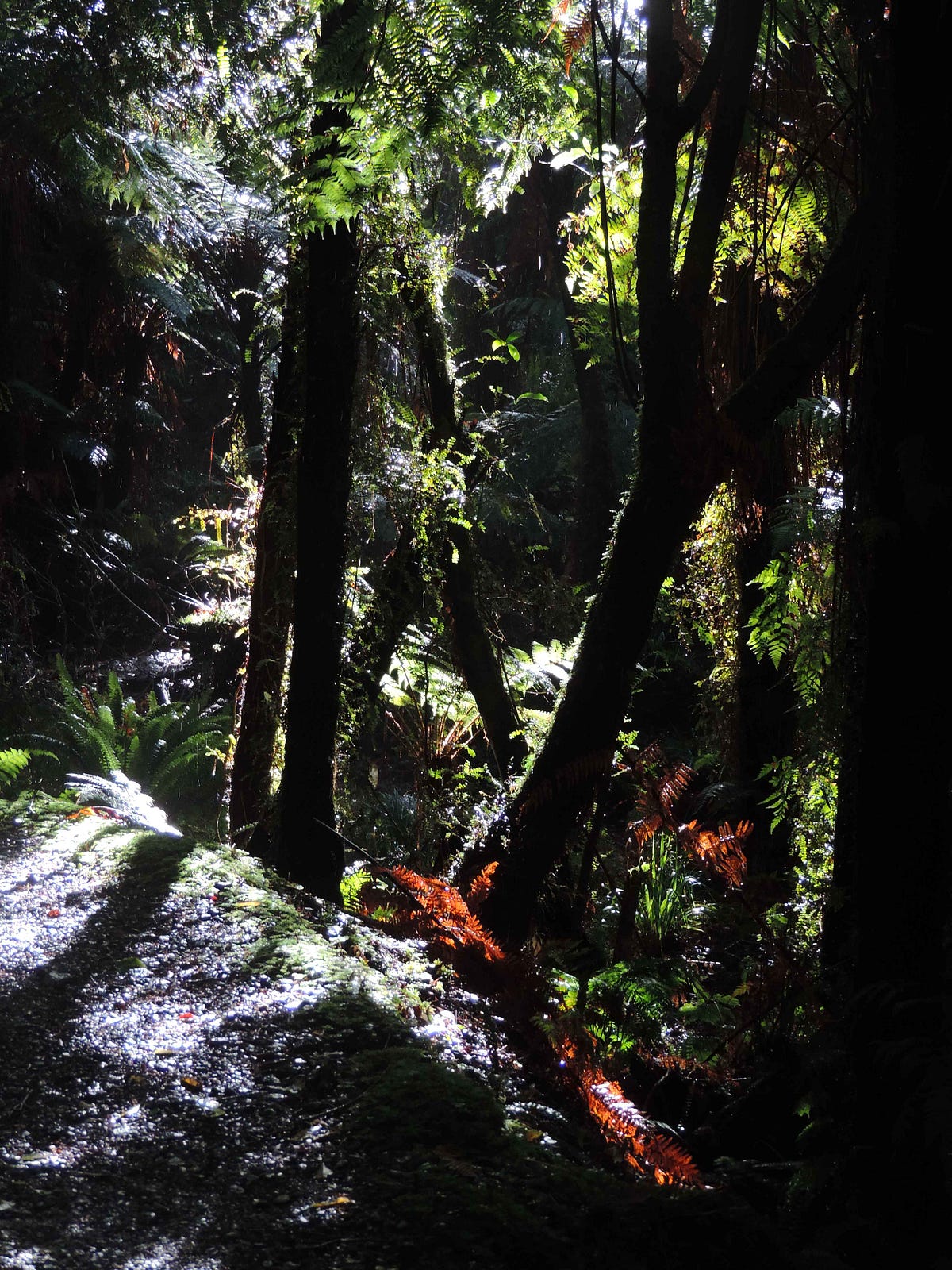
I walked on through what a poet would, no doubt, describe as dappled glades.
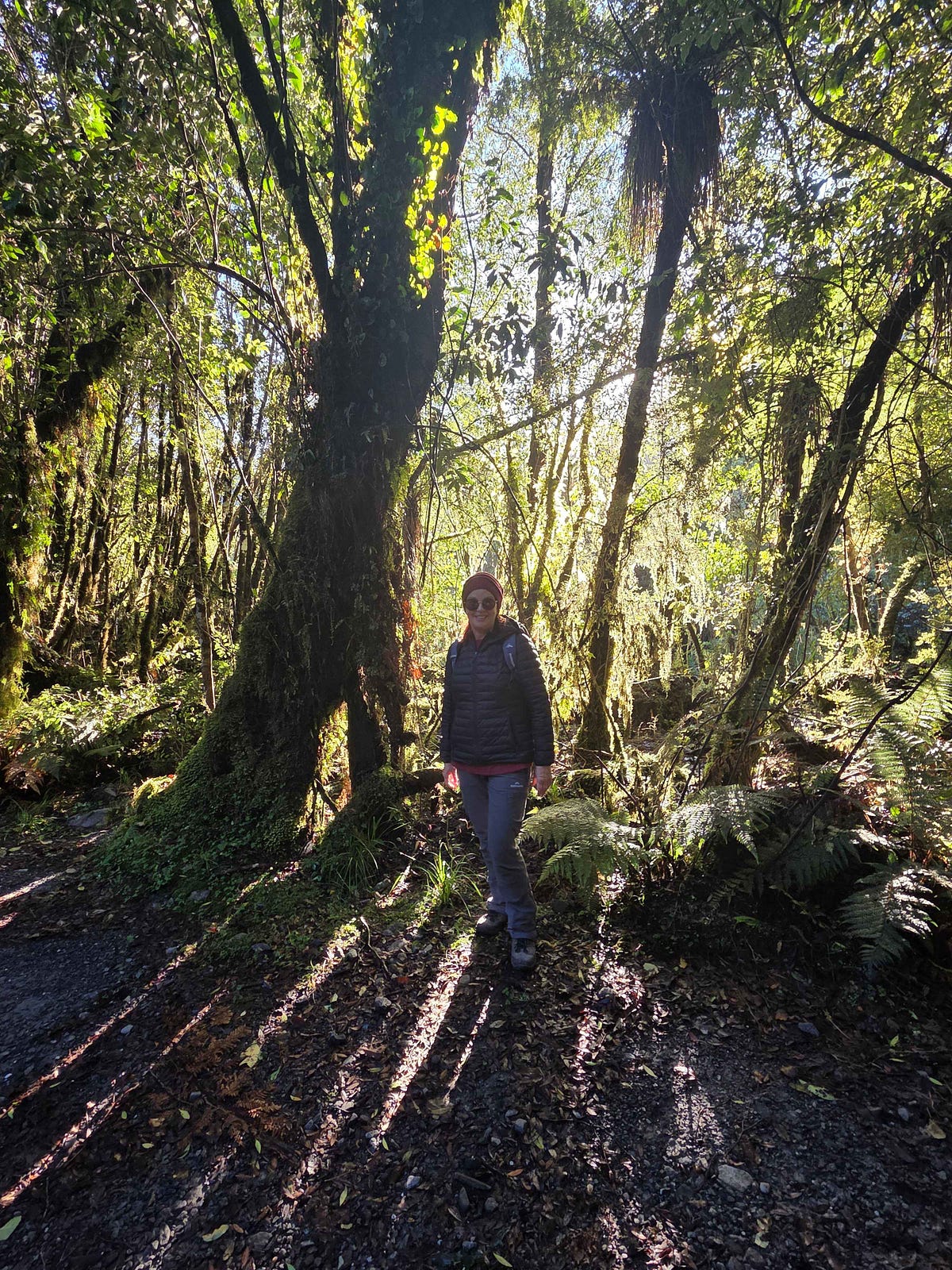
While the winter’s low sun lent a dappled effect to the places where it peeped through, the places it did not get to were fairly chilly, such as the bed of the Fox River.
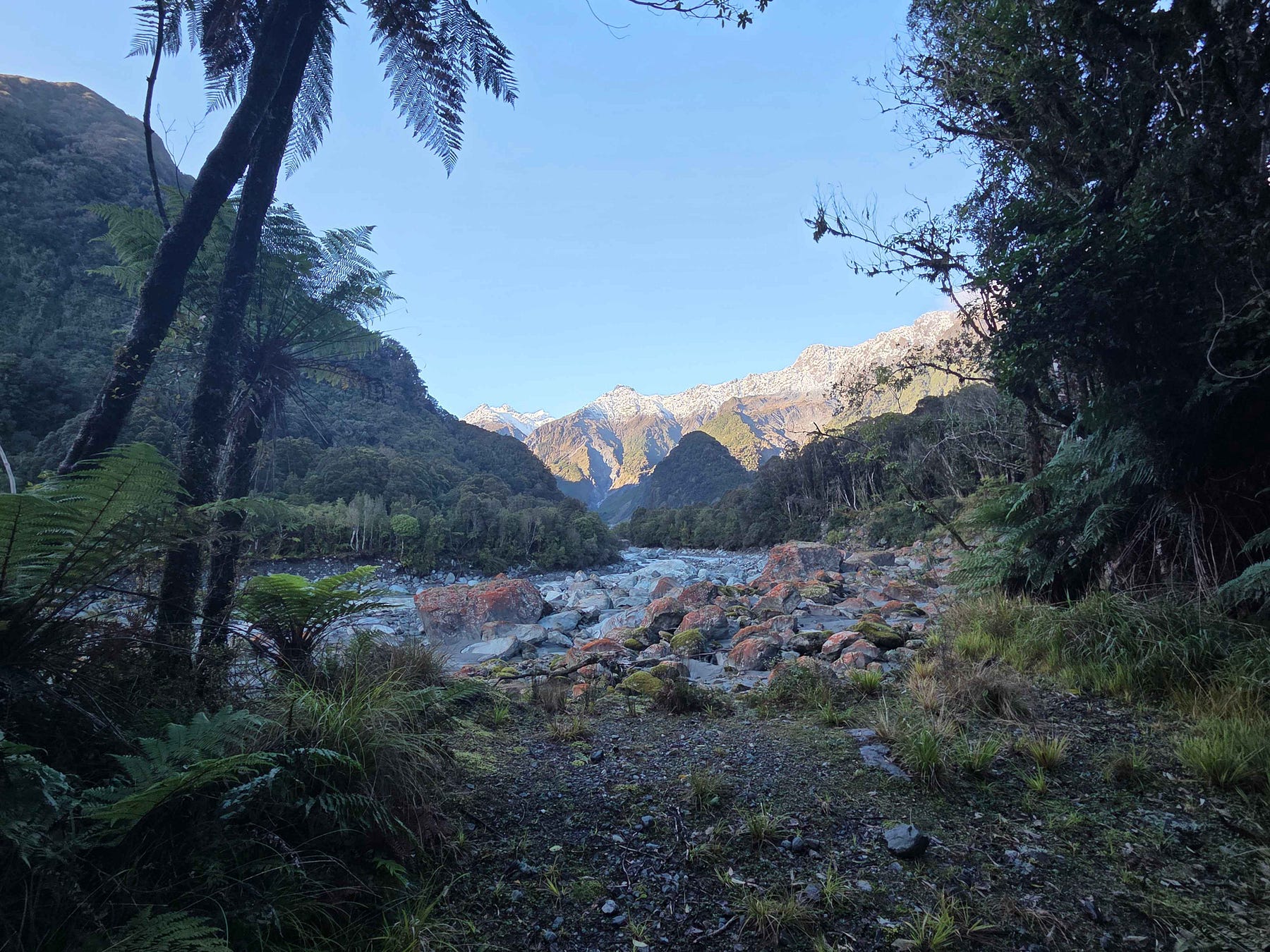
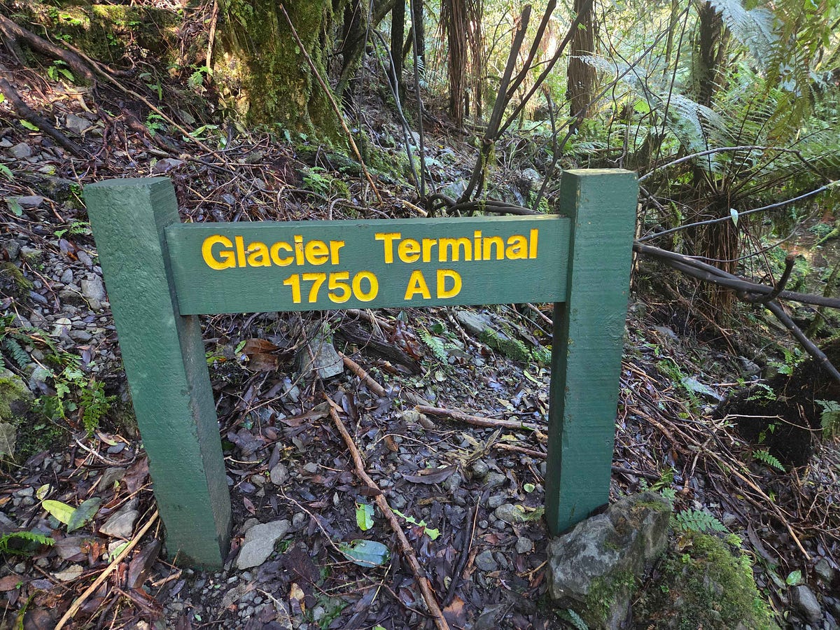
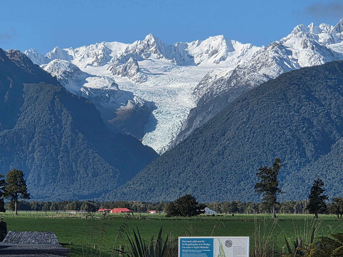
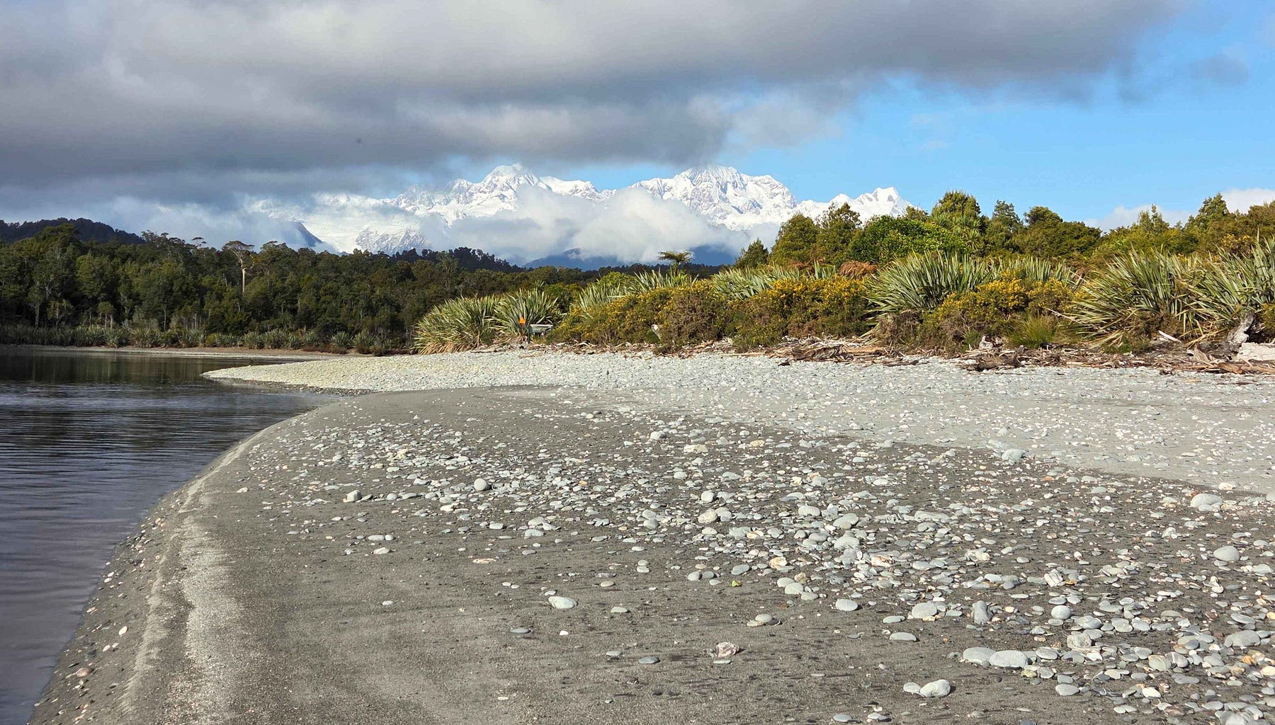
I finally managed to get a good view of the glacier, which has unfortunately retreated quite a bit since the dawn of the Industrial Revolution.
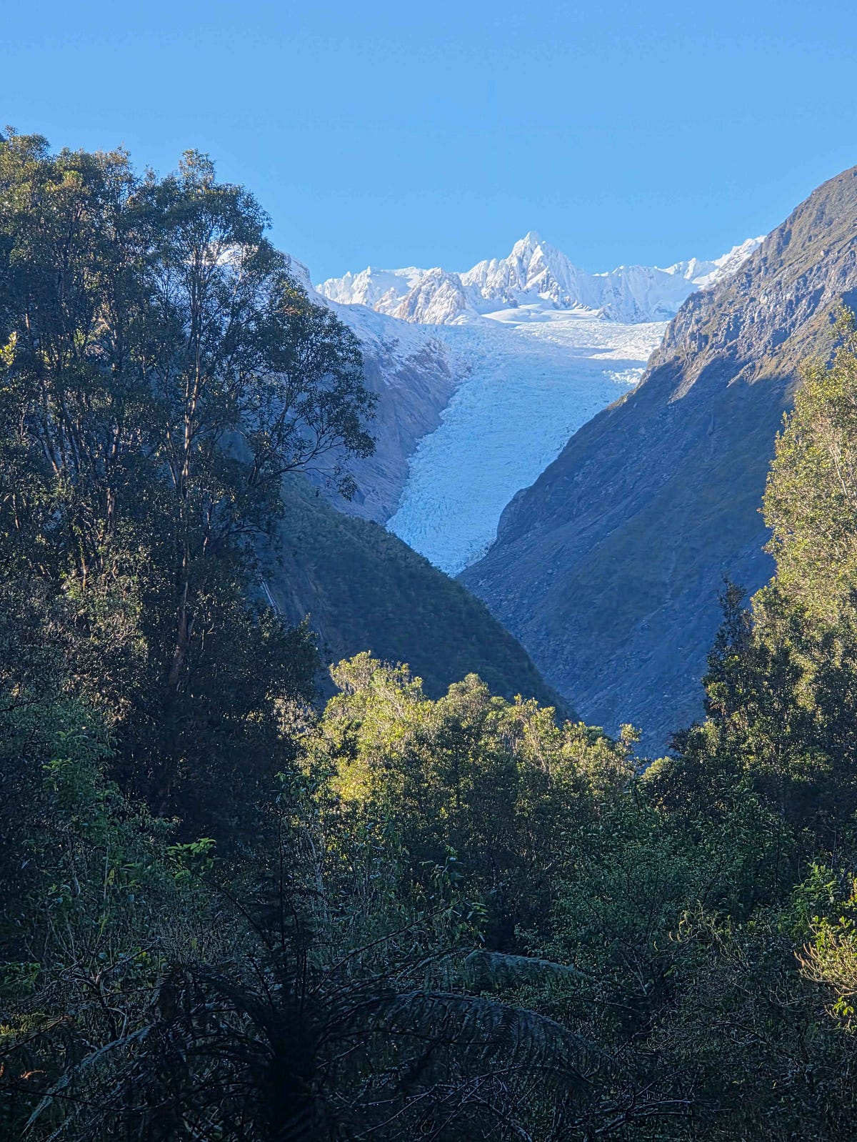
The glacier was amazing. But you cannot drive to it. It took me an hour to walk there. It was stunning.
There is also a mountain-biking trail to the glacier; a nice bike-friendly touch.
And there is the Moraine Walk as well.
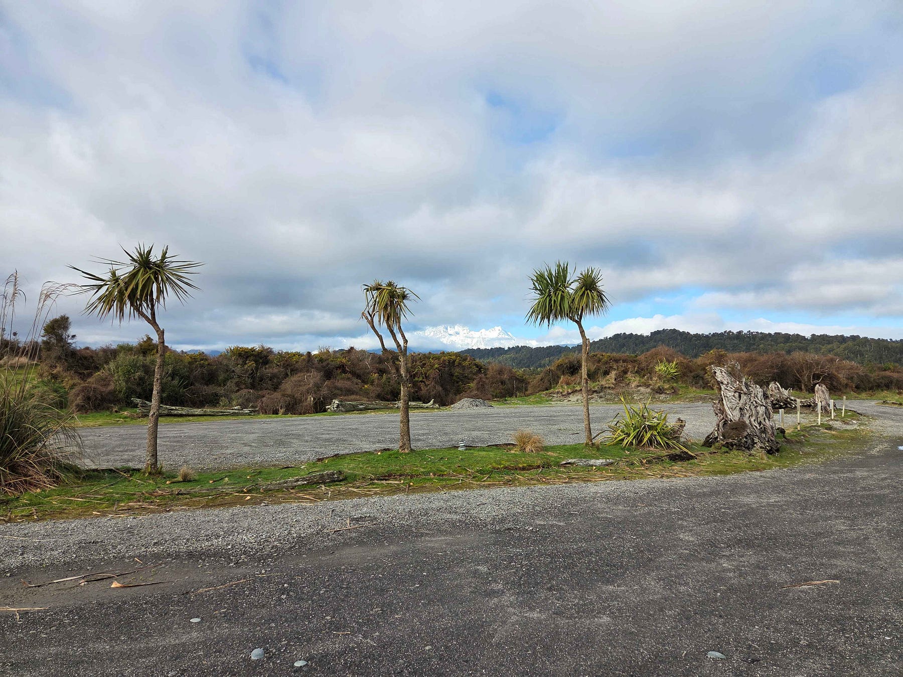
On the other side of the main highway, Cook Flat Road leads to Lake Matheson and Gillespies Beach via Cook Flat Road, plus a remote glacier viewpoint.
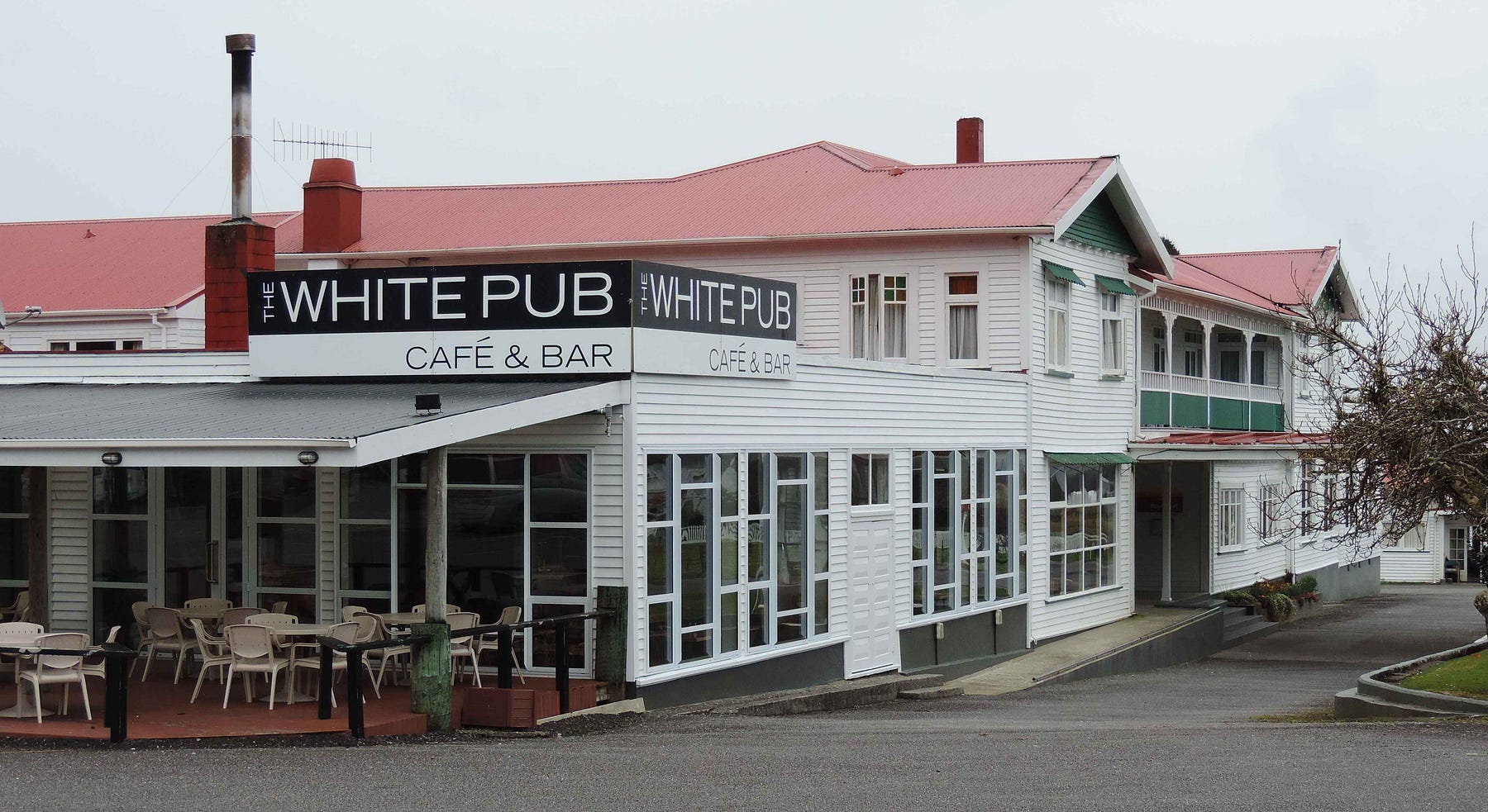
The White Pub is on the corner between the main highway and Cook Flat Road.
Lake Matheson is extremely scenic in fine weather.
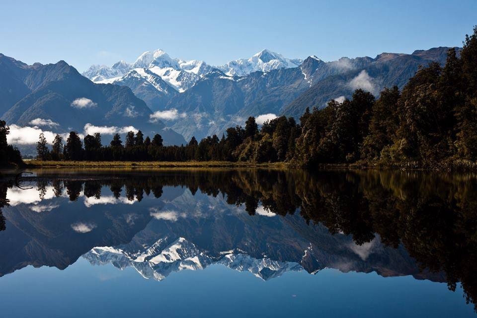
You reach Lake Matheson via a turnoff to Lake Matheson Road, on the right as you are heading westward along Cook Flat Road or on the left on the way back to Fox Glacier. There are local walking tracks and a track up to Lake Gault.
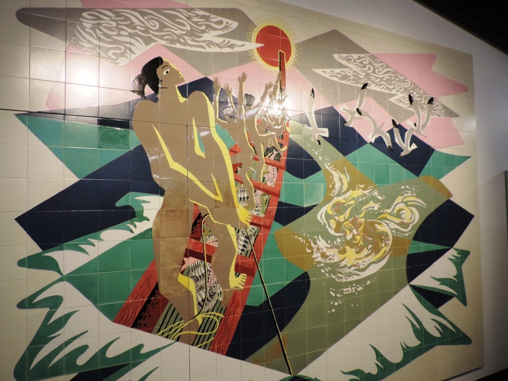
After a while you come to Gillespies Beach Road. A short distance along Gillespies Beach Road, just before the Clearwater Creek Bridge, there is the Fox Glacier lookout known as Te Kopikopiko o te Waka, meaning the capsized canoe, a reference to a Māori legend whereby the South Island was the canoe of Māui, from which the North Island was fished out of the sea. After the landing of the North Island the canoe was capsized, its keel becoming the Southern Alps.
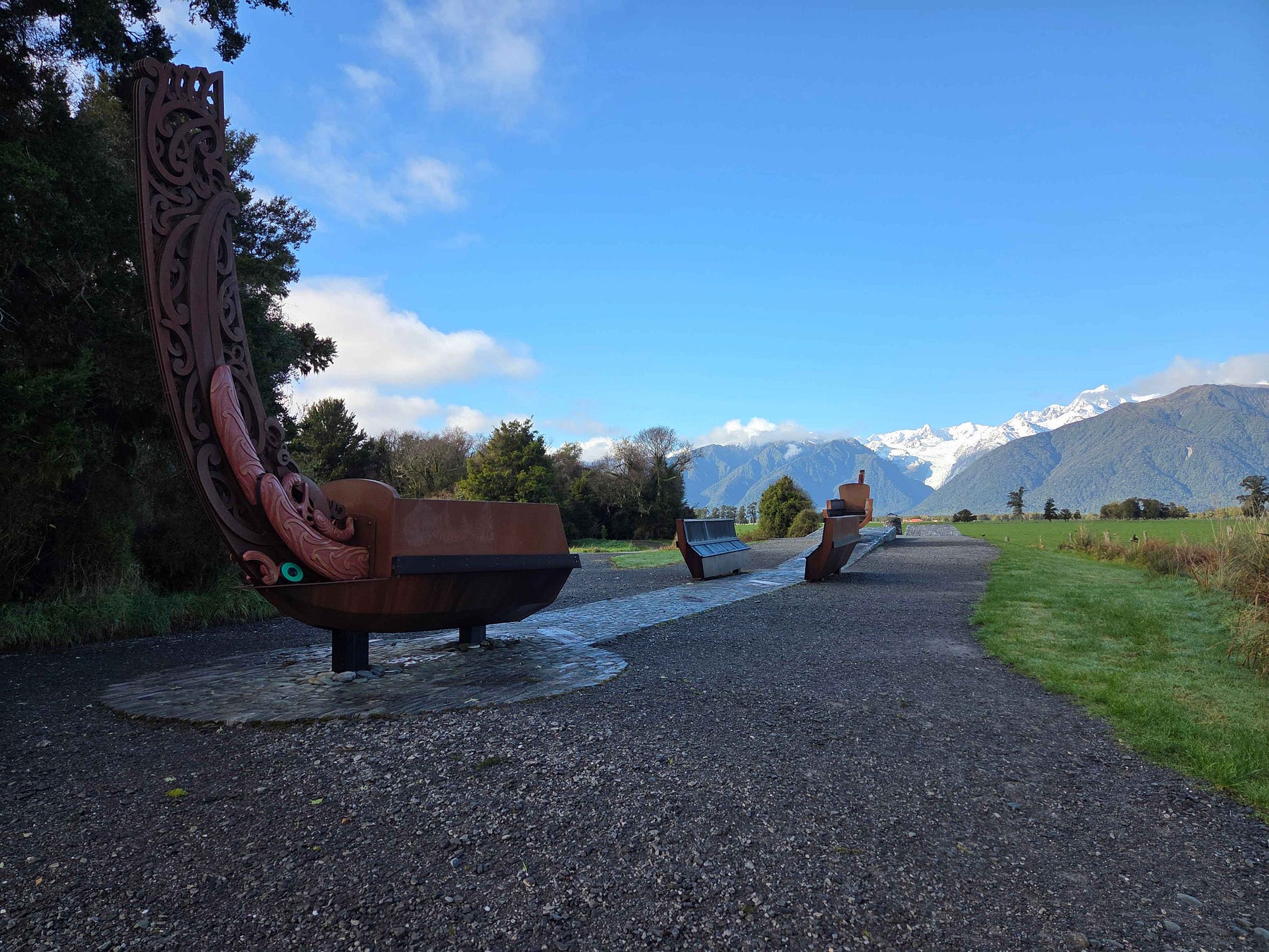
Here is a video of scenes I filmed from various Fox Glacier viewpoints, both locally and from Te Kopikopiko o te Waka.
Past Te Kopikopiko o te Waka, Gillespies Beach Road wends its way up and over a gap in some coastal hills to the beach. This section, which comprises most of Gillespies Beach Road’s length, comes with various dire warnings.
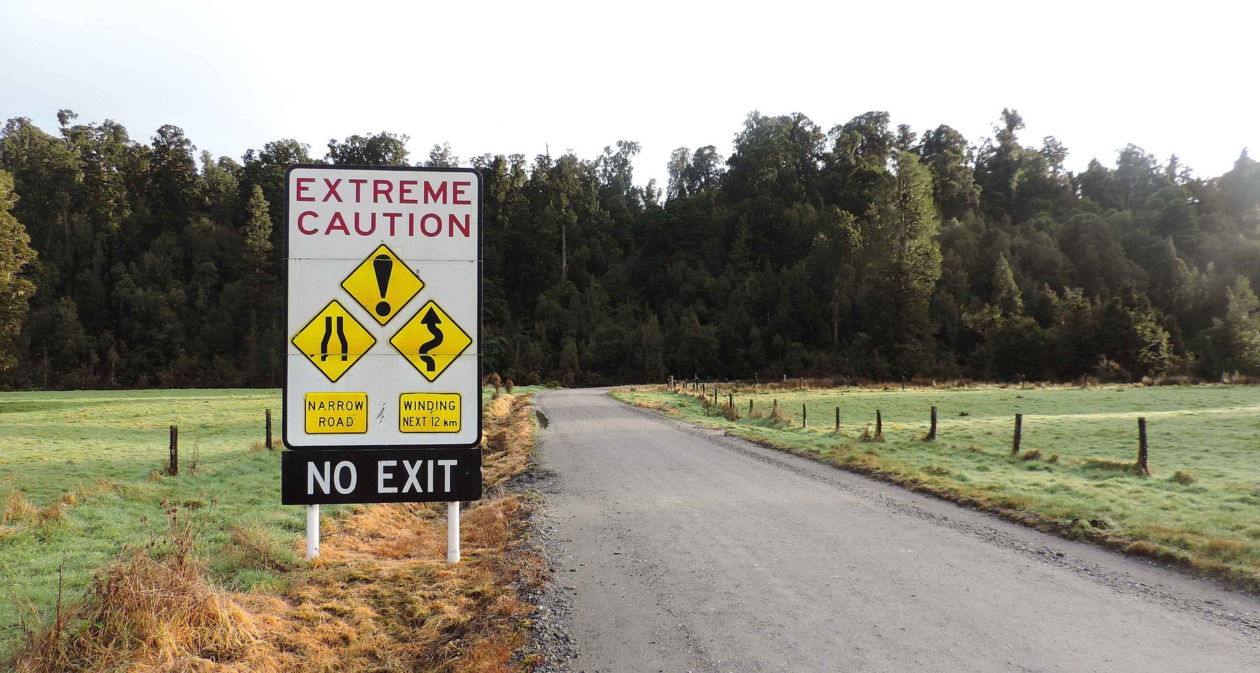
I wouldn’t like to be driving back from Gillespies Beach in a storm. But otherwise, this last section of the road to the beach is not really that bad, though I suppose if you weren’t used to driving on New Zealand’s back-country roads it might come as a bit of a shock.
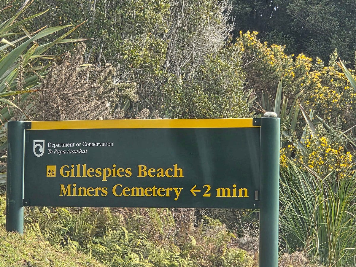
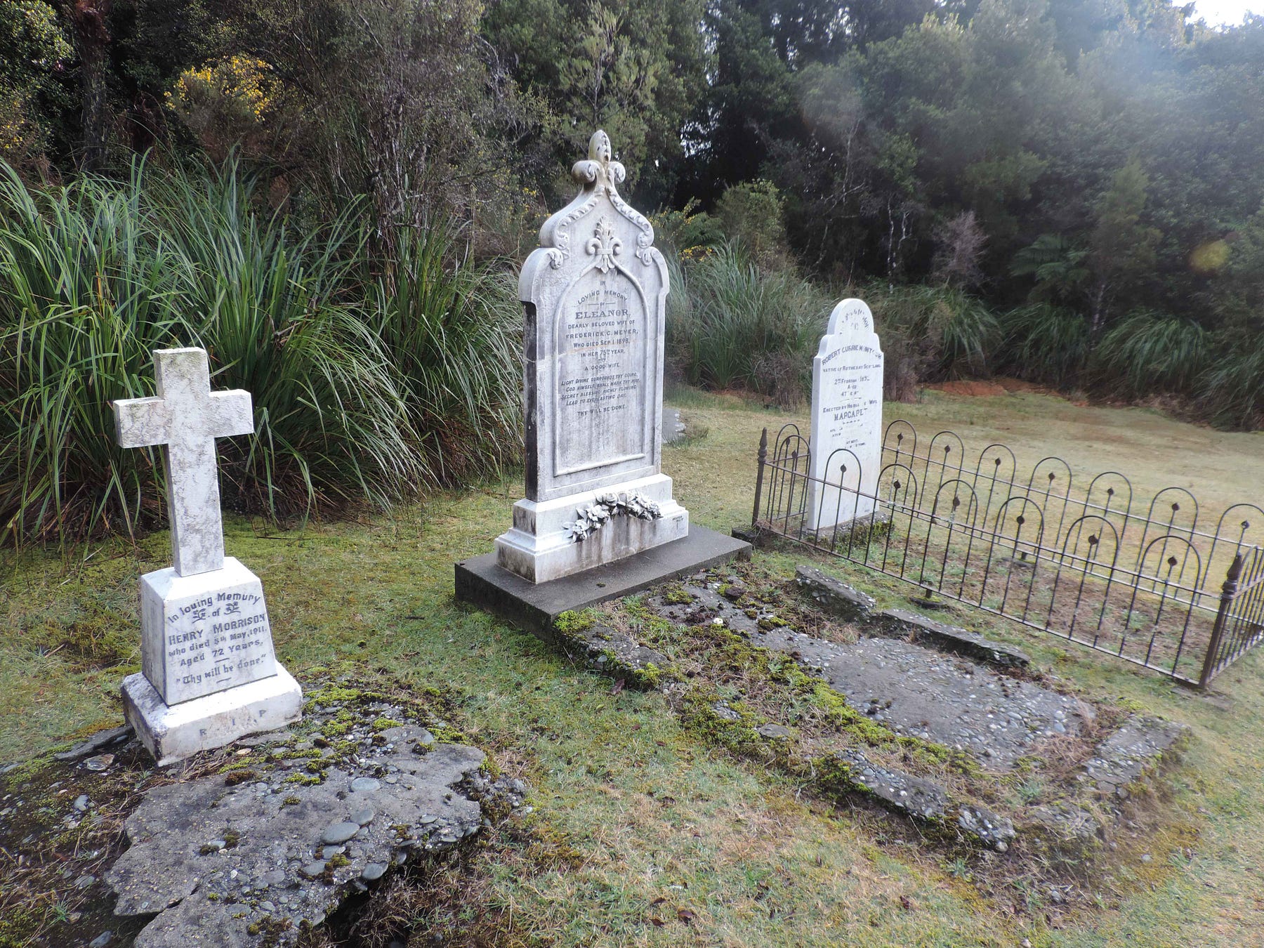
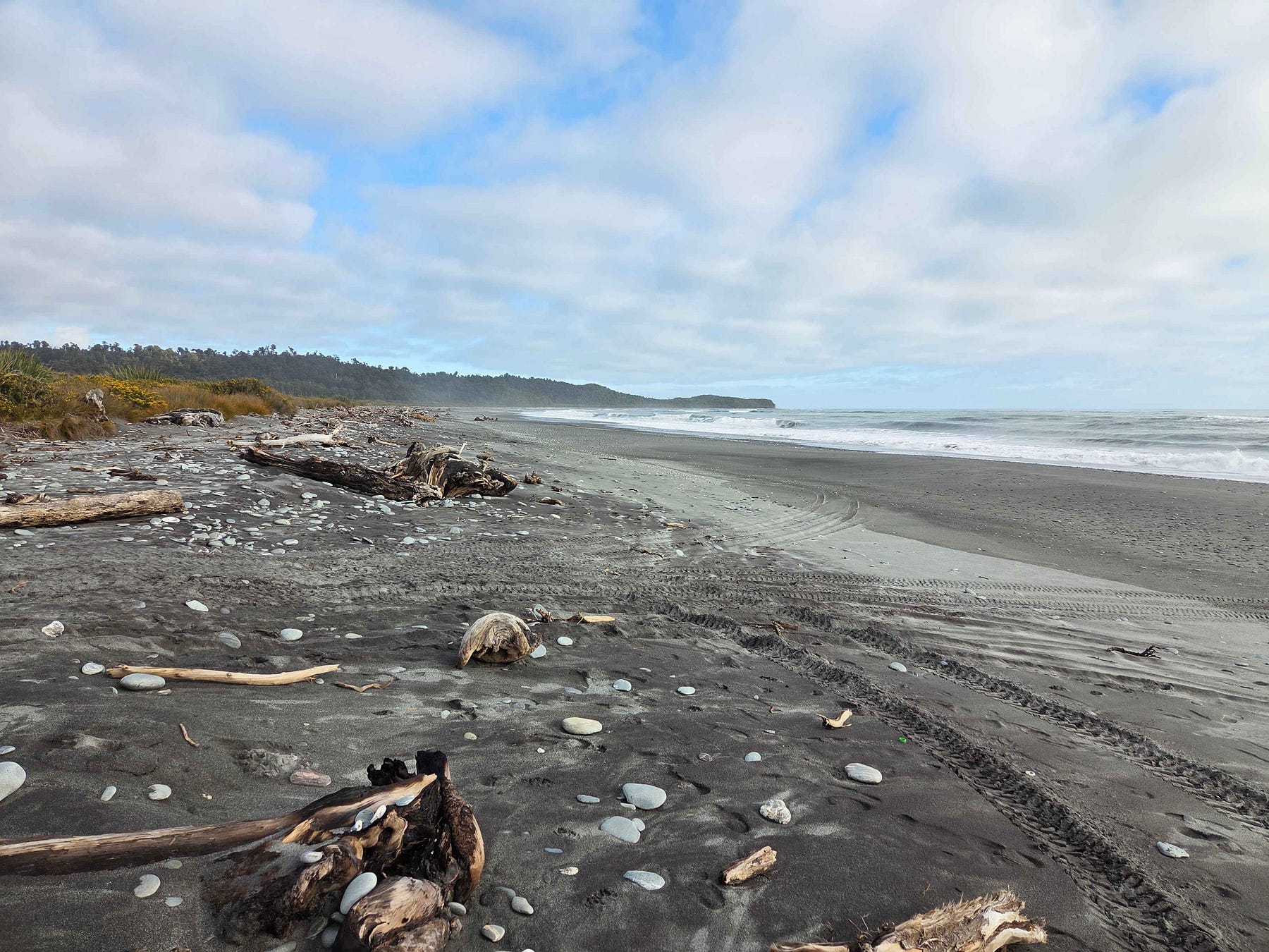
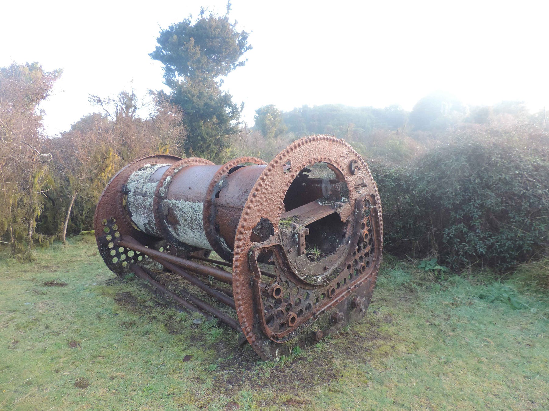
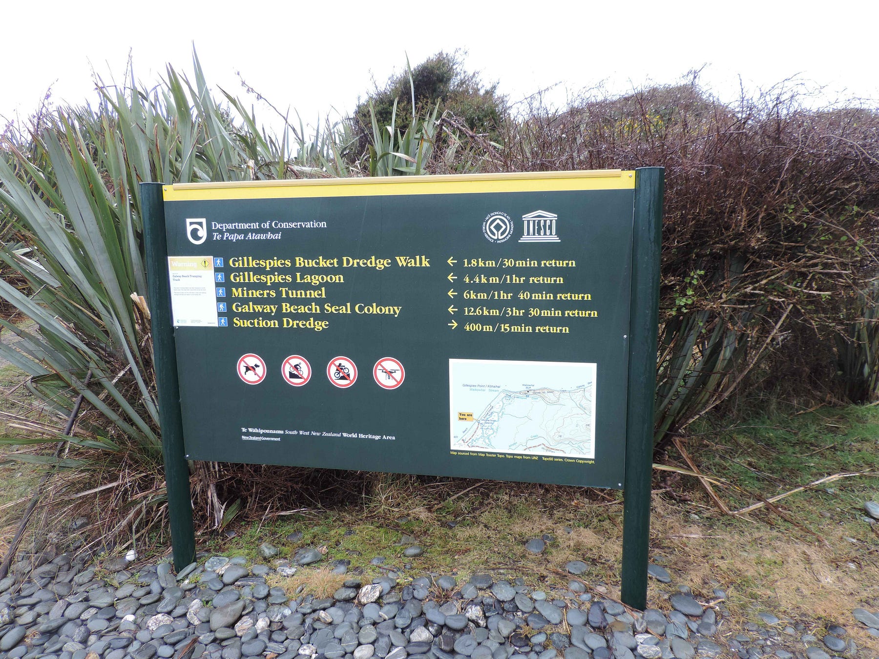
Arriving at Gillespies Beach, which I do highly recommend, you are definitely away from it all. At one time, the beach was mined for gold, and had many historic traces of those days.
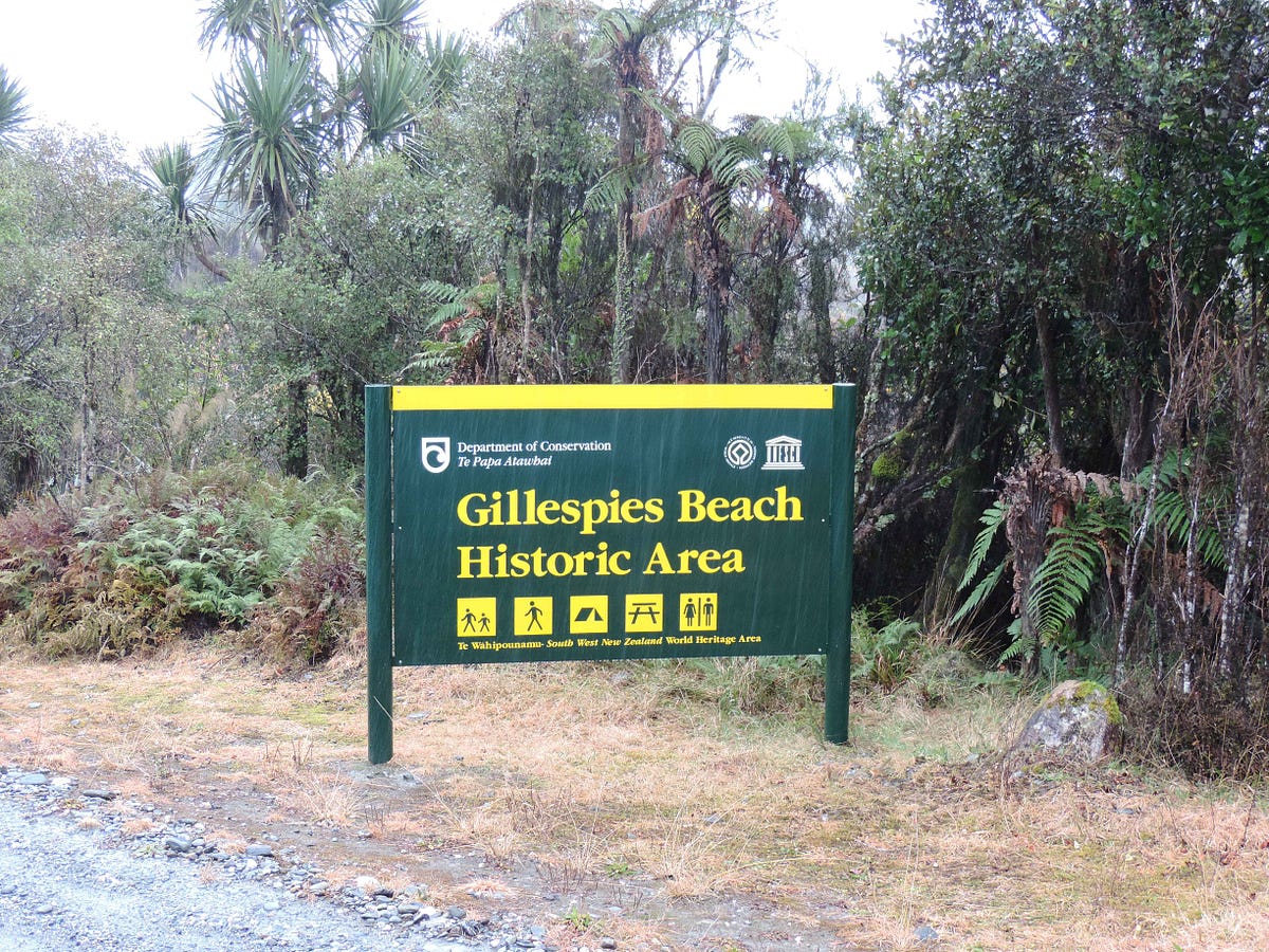
There’s a miner’s cemetery, in which the Irish heritage of most of the miners is clear.
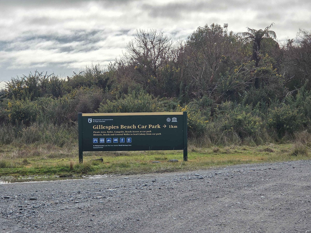
There’s a big carpark at Gillespies Beach.
The beach itself is really lonesome and desolate.
Mining continued from Victorian times into the twentieth century, and there are lots of relics and tracks to explore them.

It was a fairly dripping-wet sort of a place.
However, the sun did brighten up, showing the wonderful views of the Southern Alps that are so typical of the whole of South Westland, when the clouds part.
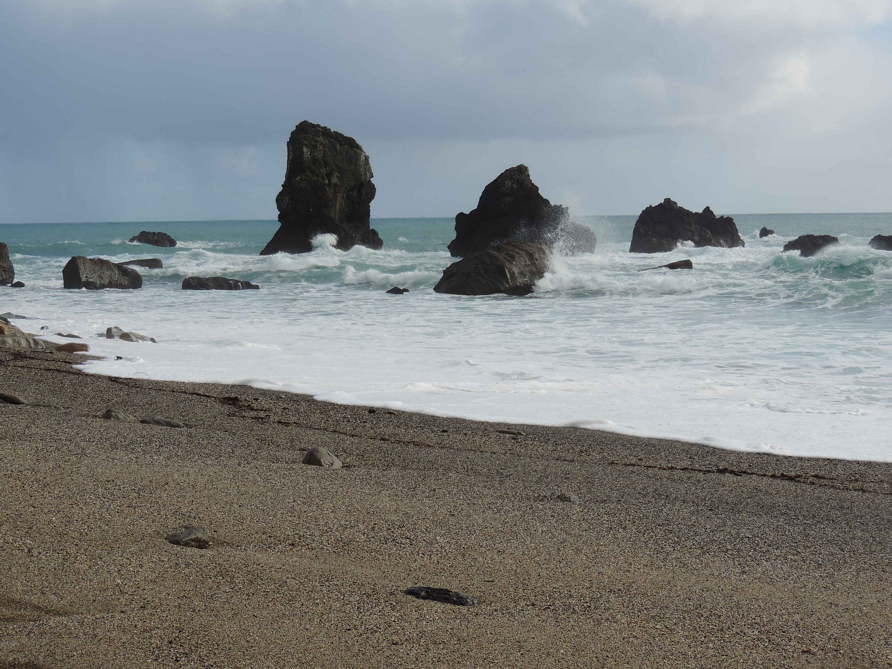
Here is a panorama of Gillespies Beach, showing the roaring sea-spray.
I spent one night in Fox Glacier, and then pushed on. There is also a Department of Conservation campground at Gillespies Beach. That would be an amazing place to unwind in future as well.
After Fox Glacier, heading southward, there is Hunts Beach, another desolate beach, but more accessible from the main road via the fairly short Hunts Beach Road. There is a well-reviewed motel there, called Hunts Beach Accommodation.
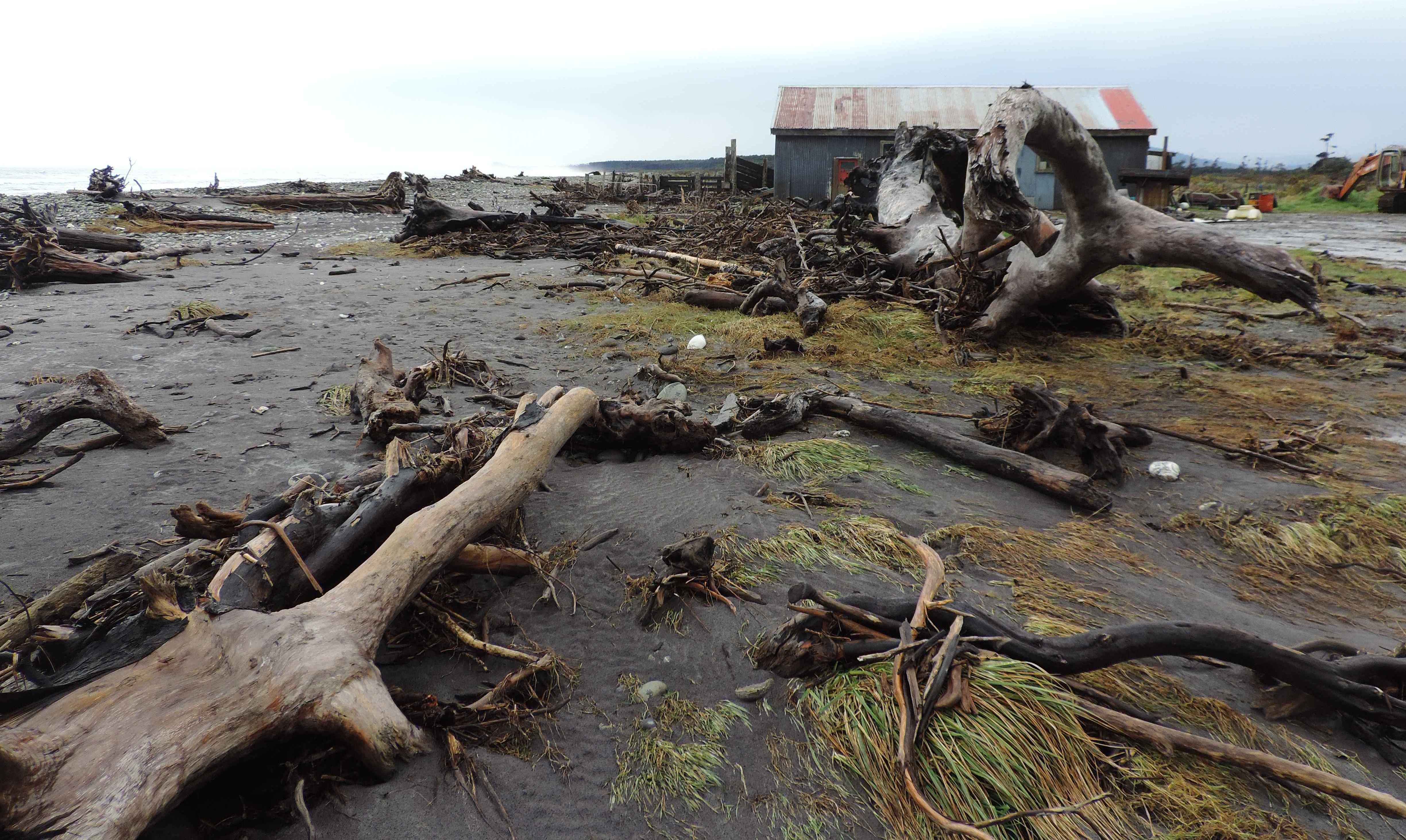
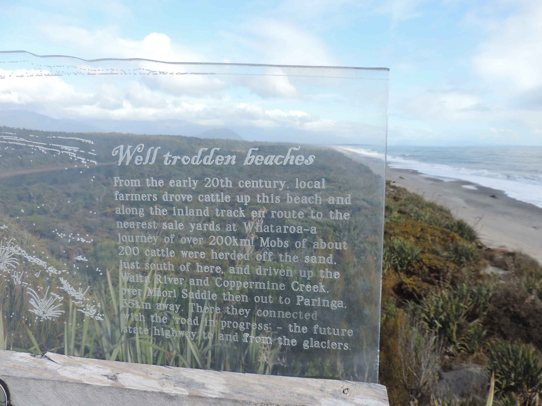
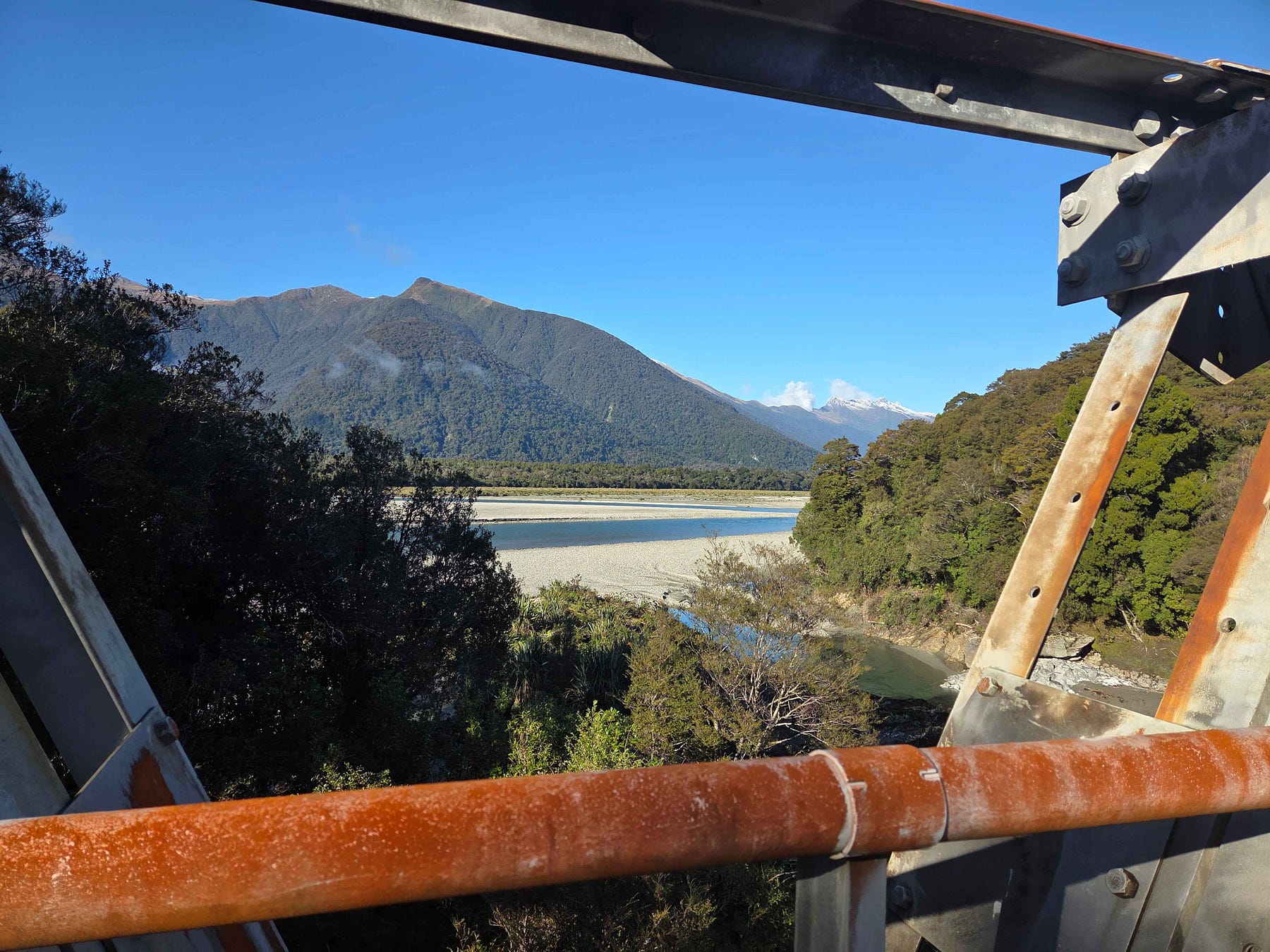
Next is Bruce Bay, where the main highway is right next to the sea and often washes out, despite the placement of great boulders between the road and the sea.
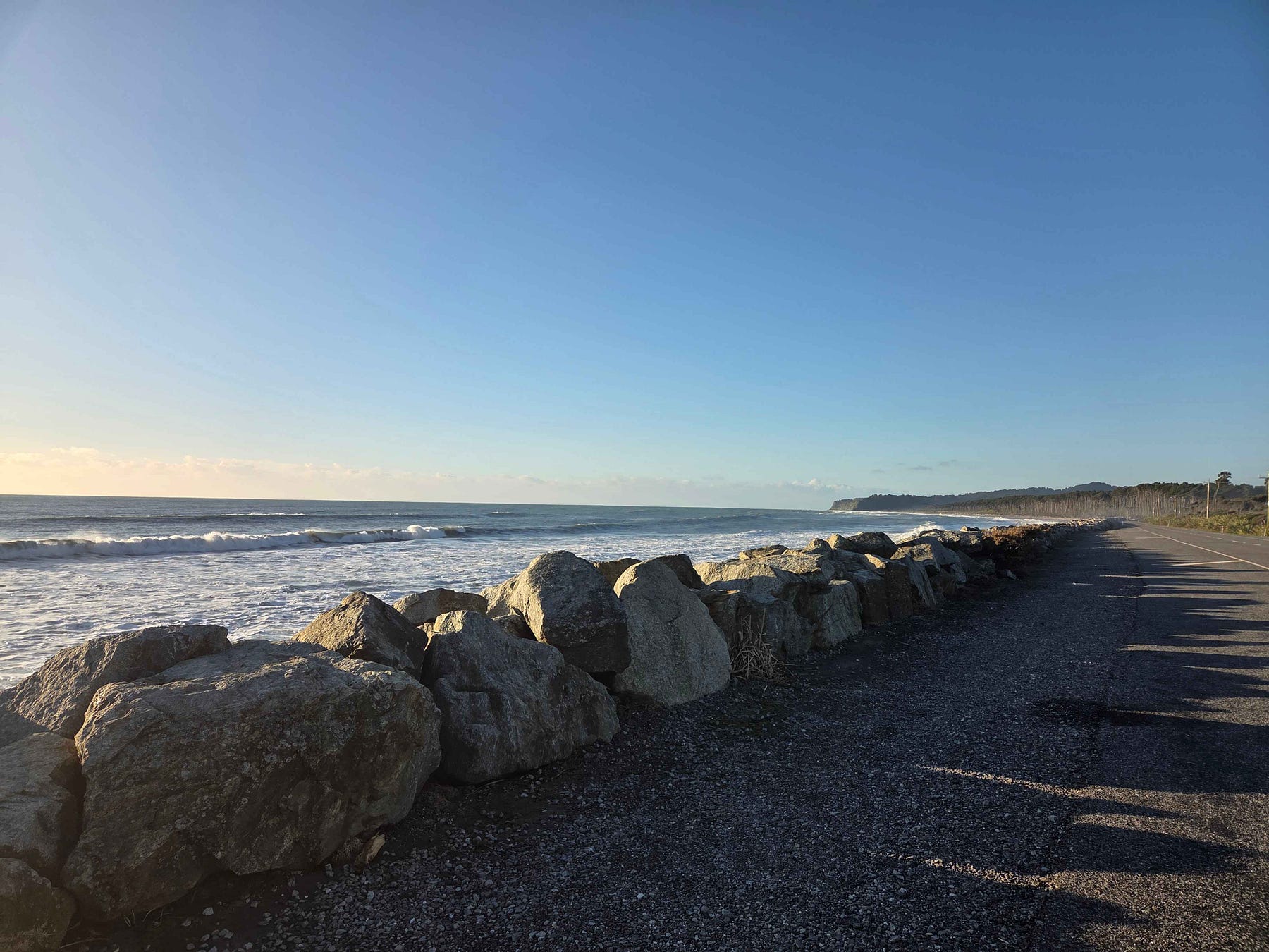
There is a story behind the vulnerable location of the road at Bruce Bay. The beach on the other side of the boulders is called Māori Beach, because the beach in Bruce Bay was traditionally used as a highway by South Island Māori. The modern road probably lies on the upper half of the old-time beach. So, the sea is probably just trying to reclaim what once belonged to it.
Here is a video of Bruce Bay and of Neils Beach, which is in fact at the end of this journey, in Jackson Bay.
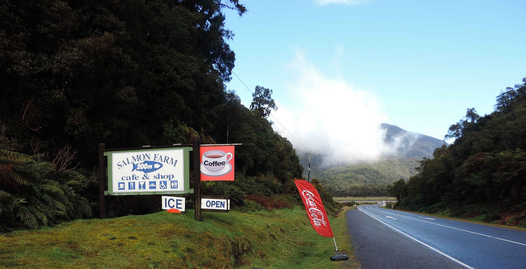
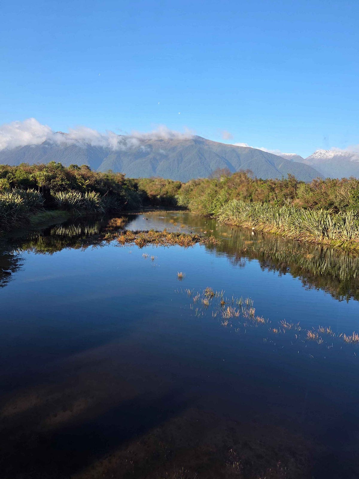
The next stop, heading ever southward, is Lake Paringa, another lovely lake in a lush rainforest setting, with a major Department of Conservation campsite next to it, and the famous Paringa Salmon Farm and Café nearby.
Lake Paringa is close to one end of the historic Haast-Paringa Cattle Track, which is just a hiking trail these days.

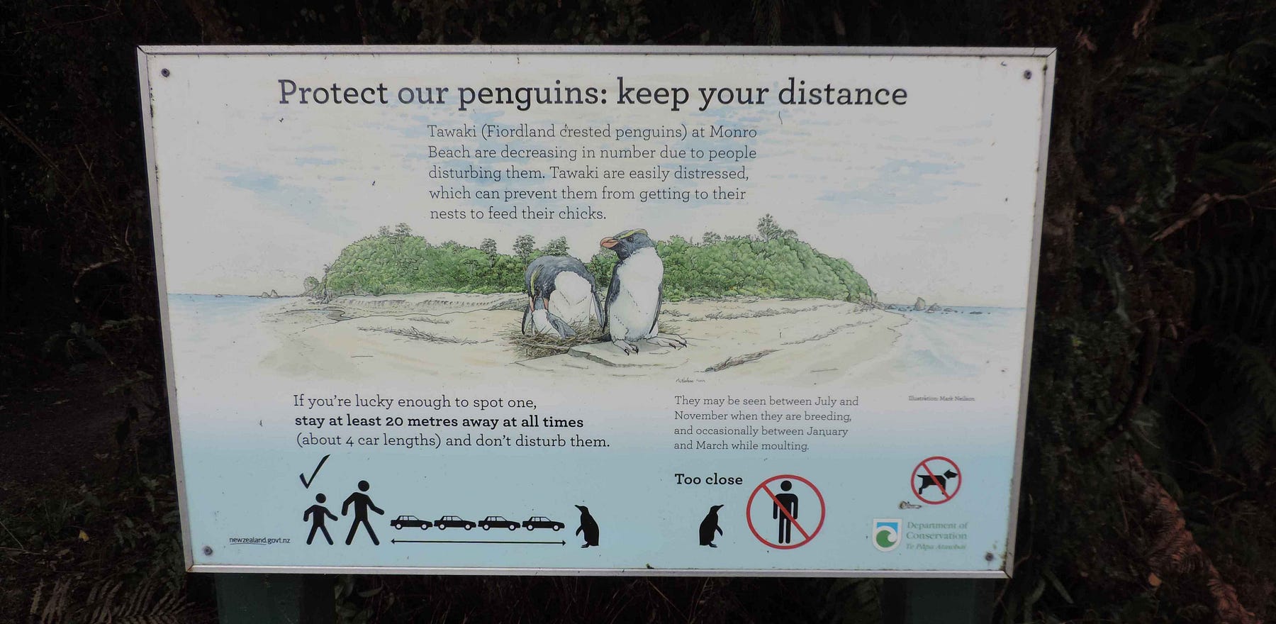
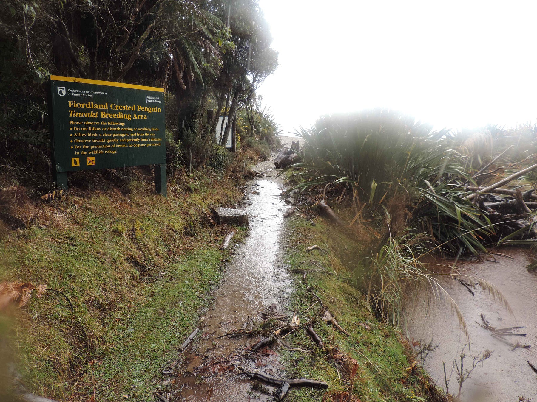
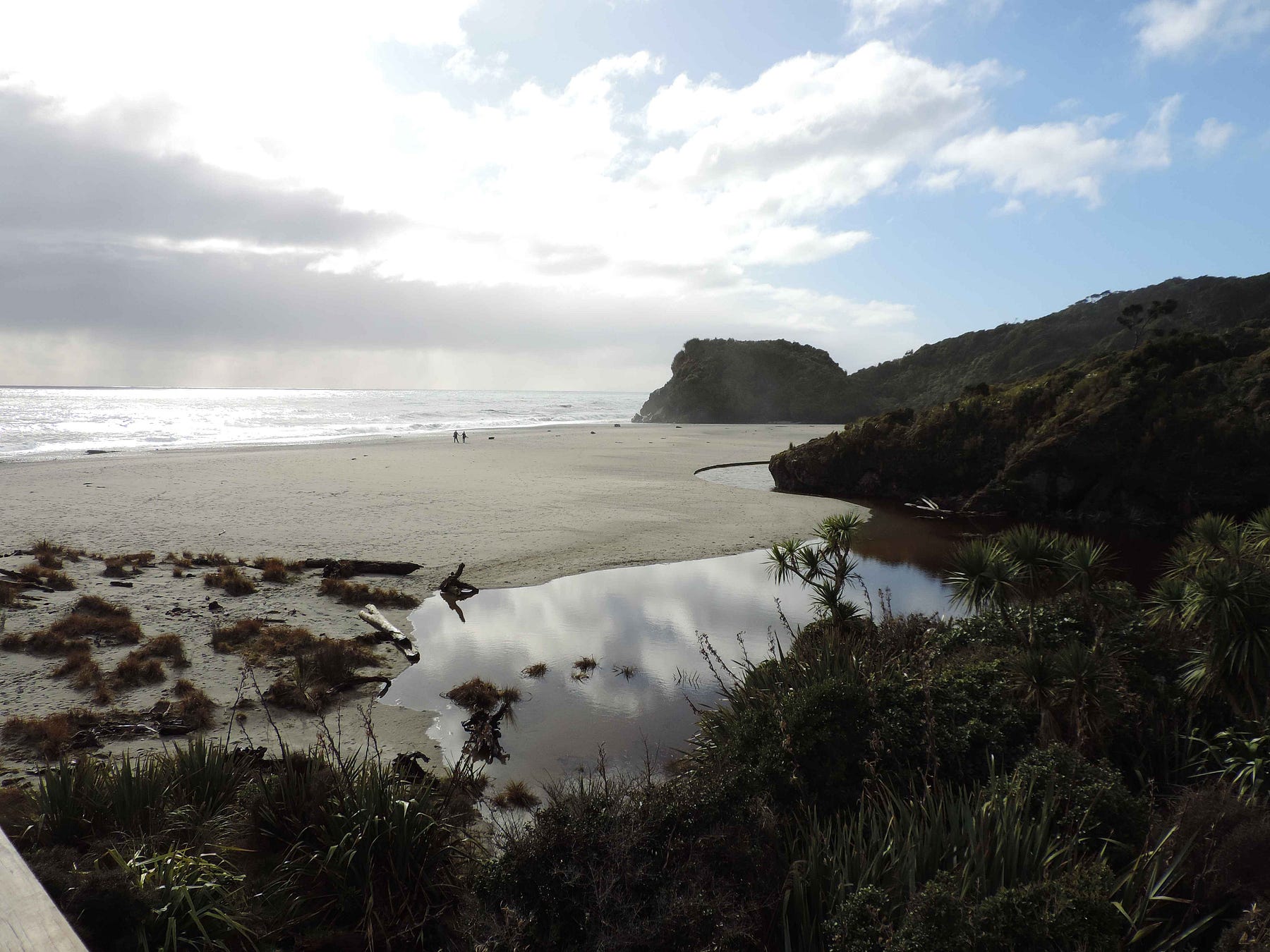
The next must-see along the way southward is Monro Beach, which you get to by way of the Monro Beach Track from the main highway, across the road from Lake Moeraki.
If you are lucky, you may get to see tawaki, or Fiordland crested penguins. Amazingly, half the species of penguins in the world live on the shores of New Zealand. Scientists now think penguins originated in New Zealand and southeastern Australia and the Tasman Sea between, and only spread later to Antarctica and other parts of the world where they are known, such as South America, South Africa, and the Galápagos Islands.
I’ve got a video of Monro Beach and its track, as well.
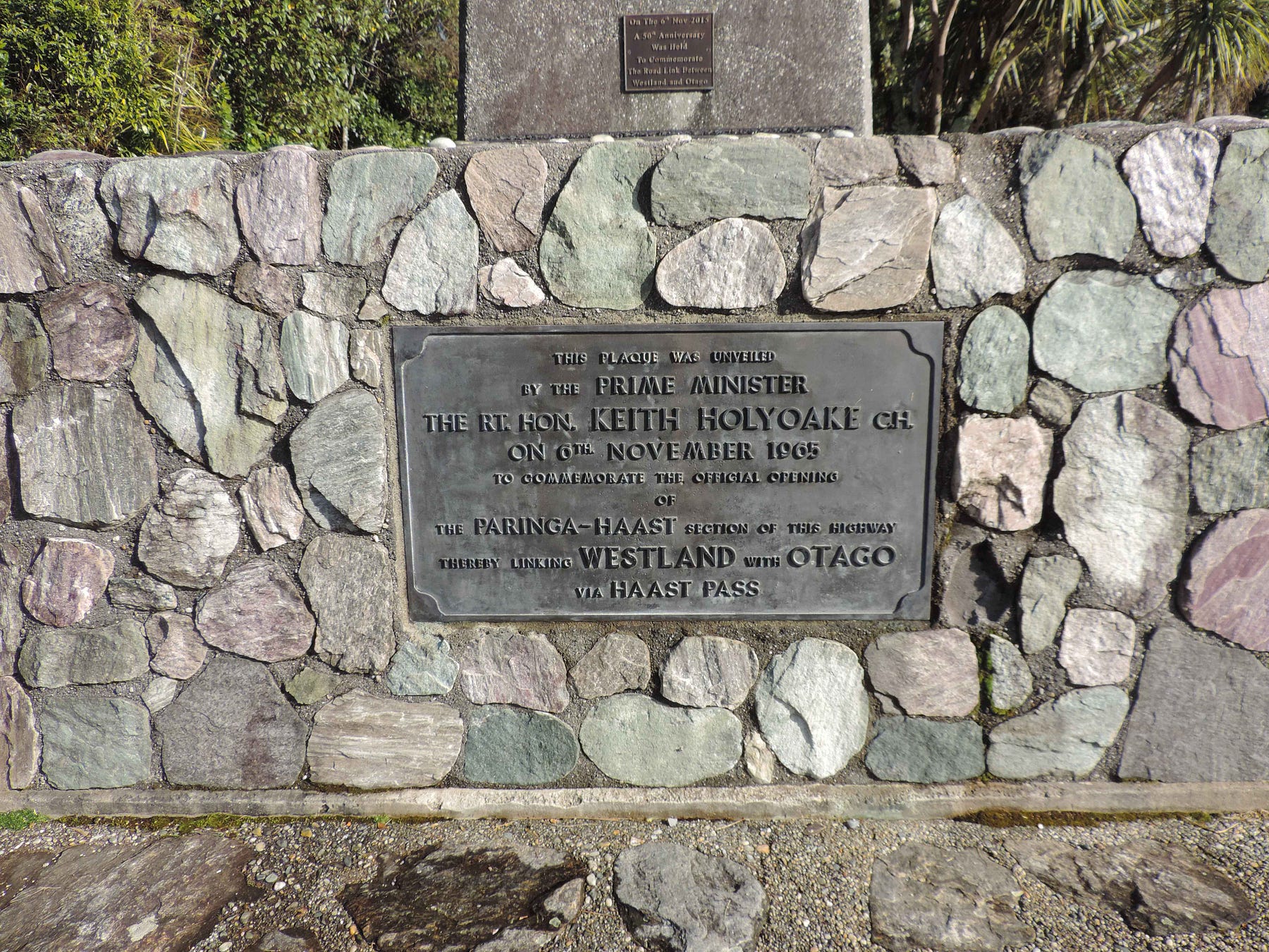
Shortly after the Monro Beach Track, the main highway passes by a clifftop lookout overlooking Knights Point. You definitely have to stop off and take a look around, as per this pan:
A former Prime Minister, Keith Holyoake, unveiled a plaque here to commemorate the official opening of the road through Haast Pass, joining the West Coast to the Queenstown Lakes area. It must have been one of his more pleasant duties: a very good excuse to get out of the office for a day.
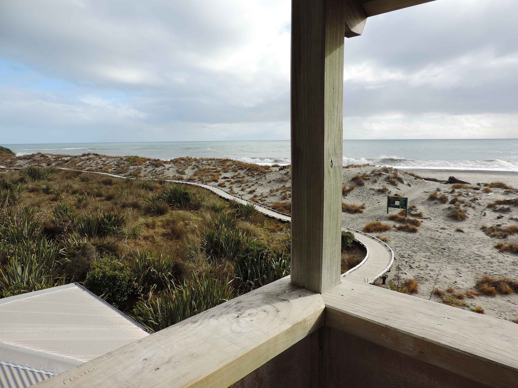
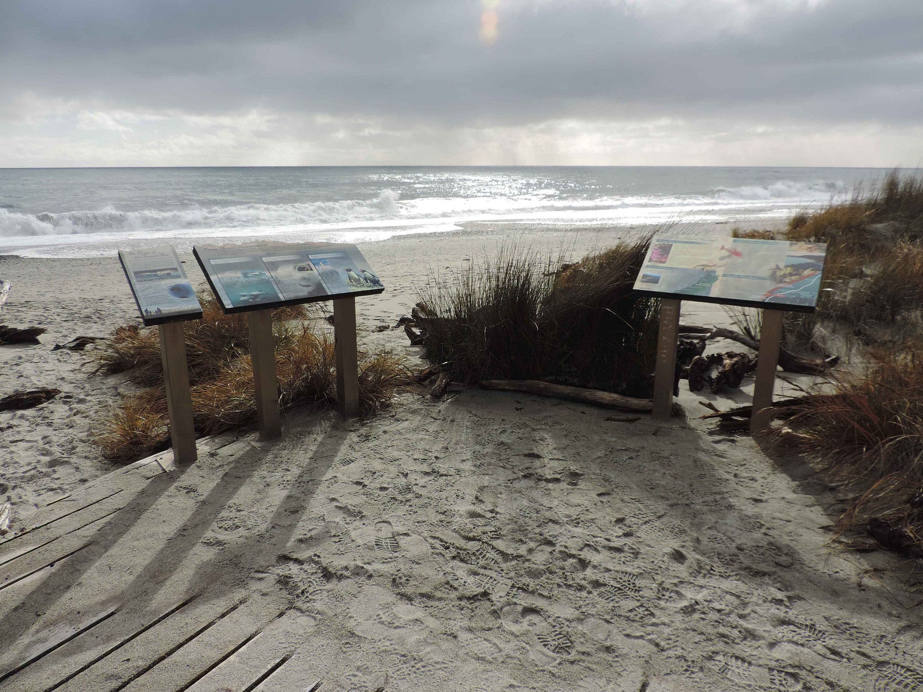
After Knights Point, a further must-view is Ship Creek, also known as Tauparikākā, meaning ‘parrots all walking in a row,’ where there was also a beach highway at one time.
There are lots of information panels and local walks here.
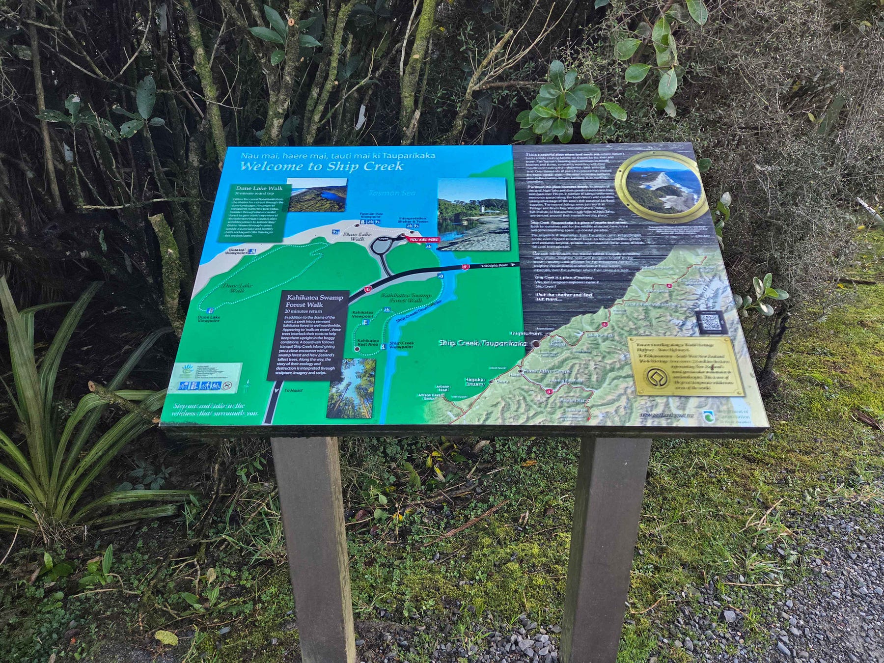
There is a pavilion, with a tower you can climb for a better view, and boardwalks over the most sensitive parts of the dunes.
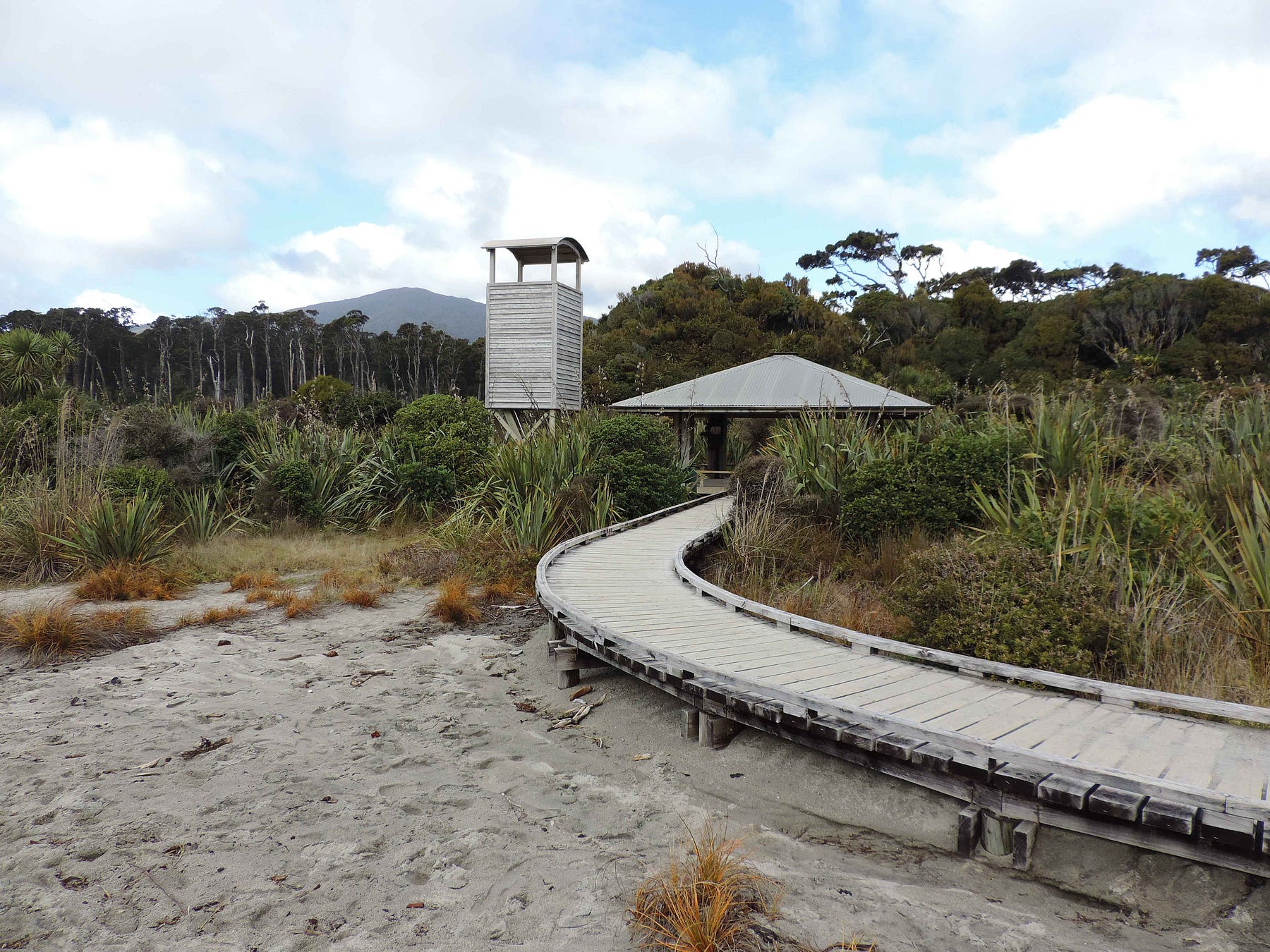
Ship Creek abounds with fantails, or pīwakawaka, which feed on the prolific local insects and, as usual, come right up to people in the hope that we might be trailing a cloud of sandflies. Here’s a video of the animated little birds in the tower/pavilion area.
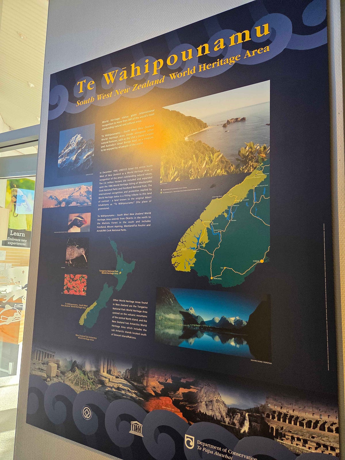
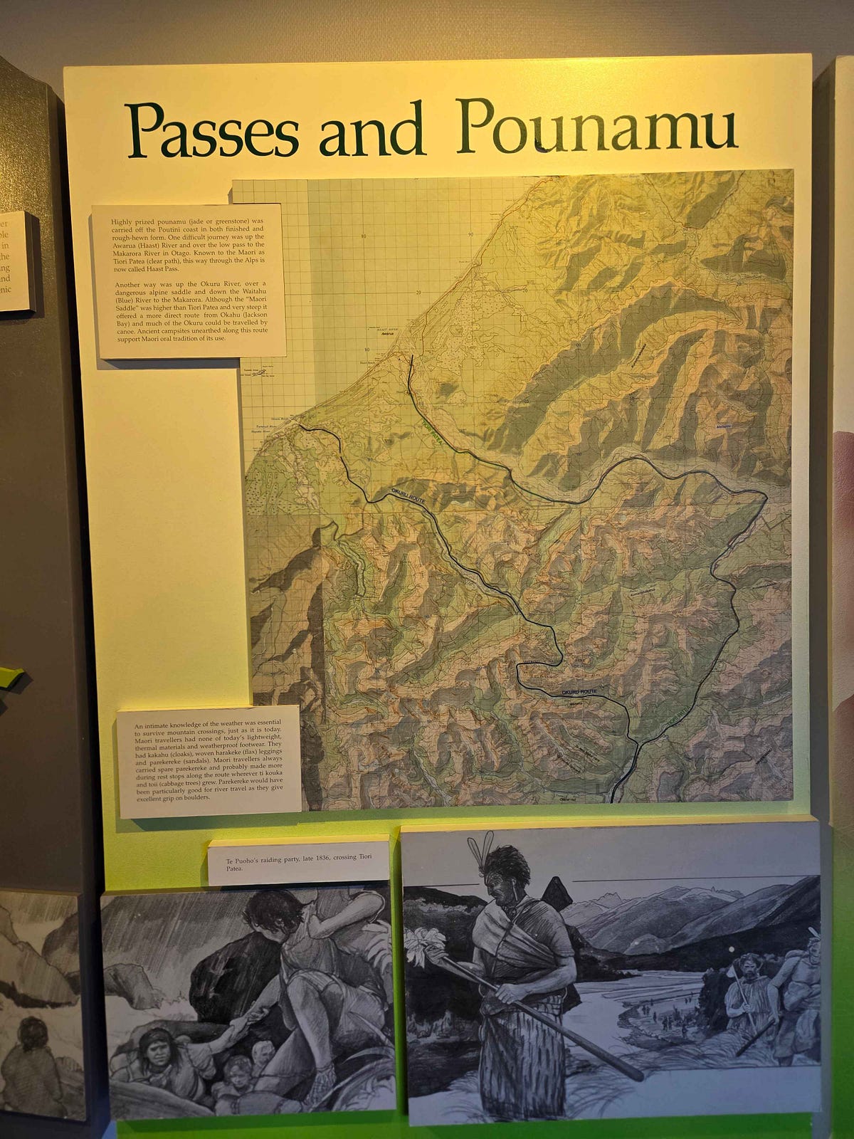
The next stop is the small township of Haast and its Department of Conservation Visitor Centre, one of the largest in the whole country.
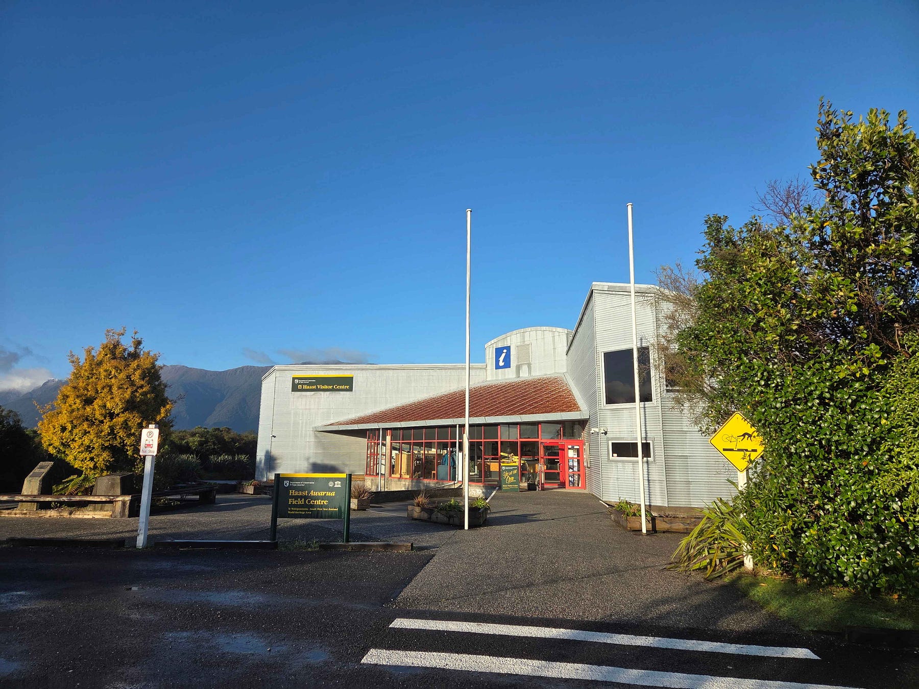
The Visitor Centre has museum-like displays that describe the region and its history.
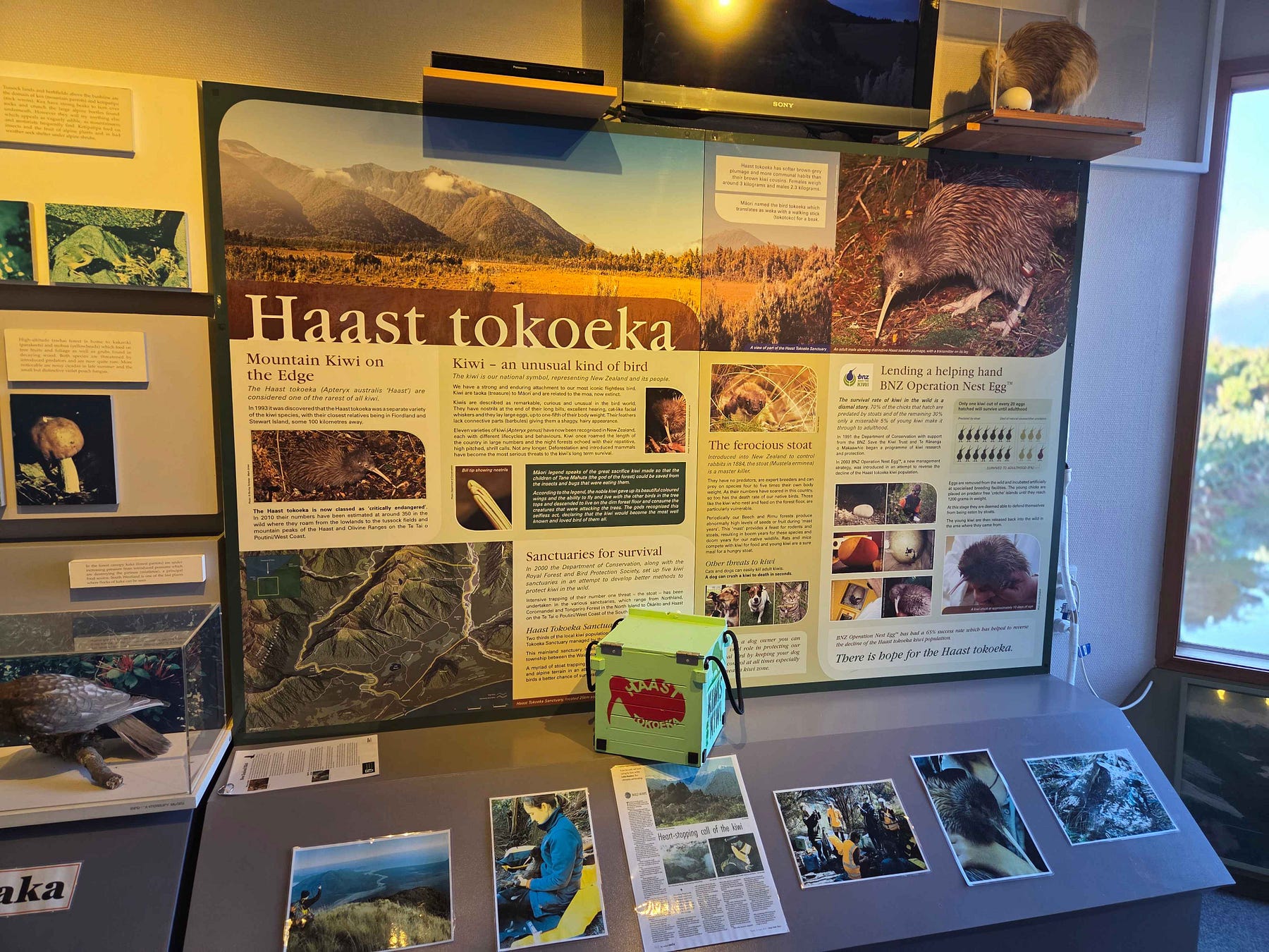
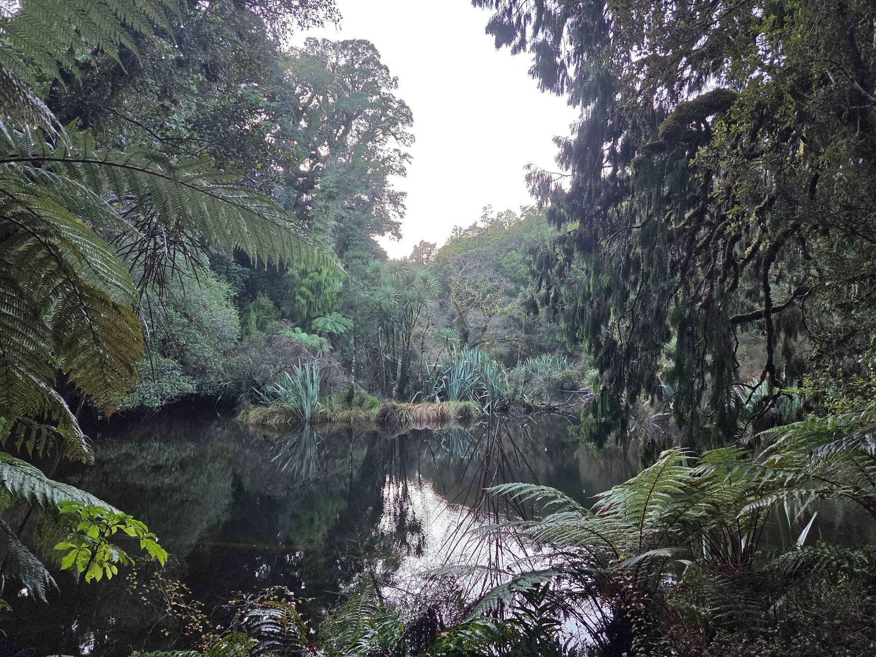
The Haast Visitor Centre was a great source of information, with a great display of places to go and places to be. And there is an attractive scenic pond out the back.
Haast had a café that was reasonably priced, with quite good food. And an On-the-Spot dairy. There were quite a few places to eat in fact.
Because it was winter, the backpacker hostel in Haast was closed.
And if you booked elsewhere you might find the place was closed as well. Apparently, a lot of locals head off overseas on holiday at this time.
Nonetheless, I found a good deal on Booking.com to stay at in Haast, namely the more permanently open Heartland Hotel Haast. For two people, it was NZ $100. I don’t know whether the rates go up in summer or not.
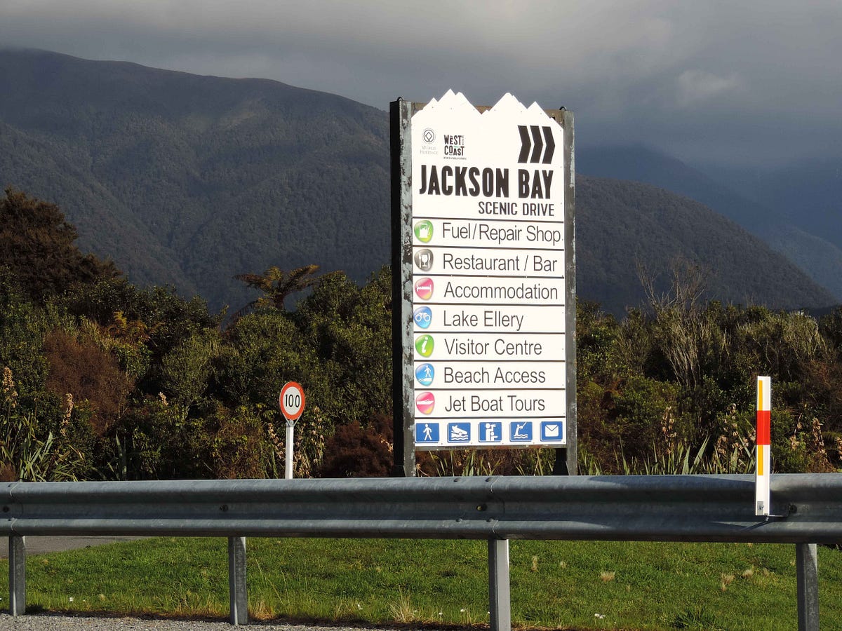
Then it was on to Neils Beach, some 40 km further south-westward from Haast, at the mouth of the Arawhata River in Jackson Bay. The fishing village of Jackson Bay is a bit further on still, at the end of the last local road under a headland. at the very end of the bay of the same name.
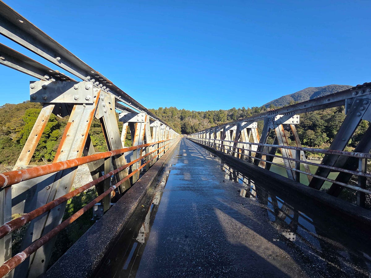
You cross a narrow one-lane bridge, again with fabulous views when the sun is out.
Neils Beach was full of penguins! There is also a freedom camping site there, but the regulations have been tightened up lately as to what sorts of vehicles are allowed to stay overnight. I’ve got a list of Westland District camping sites at the end of this post.
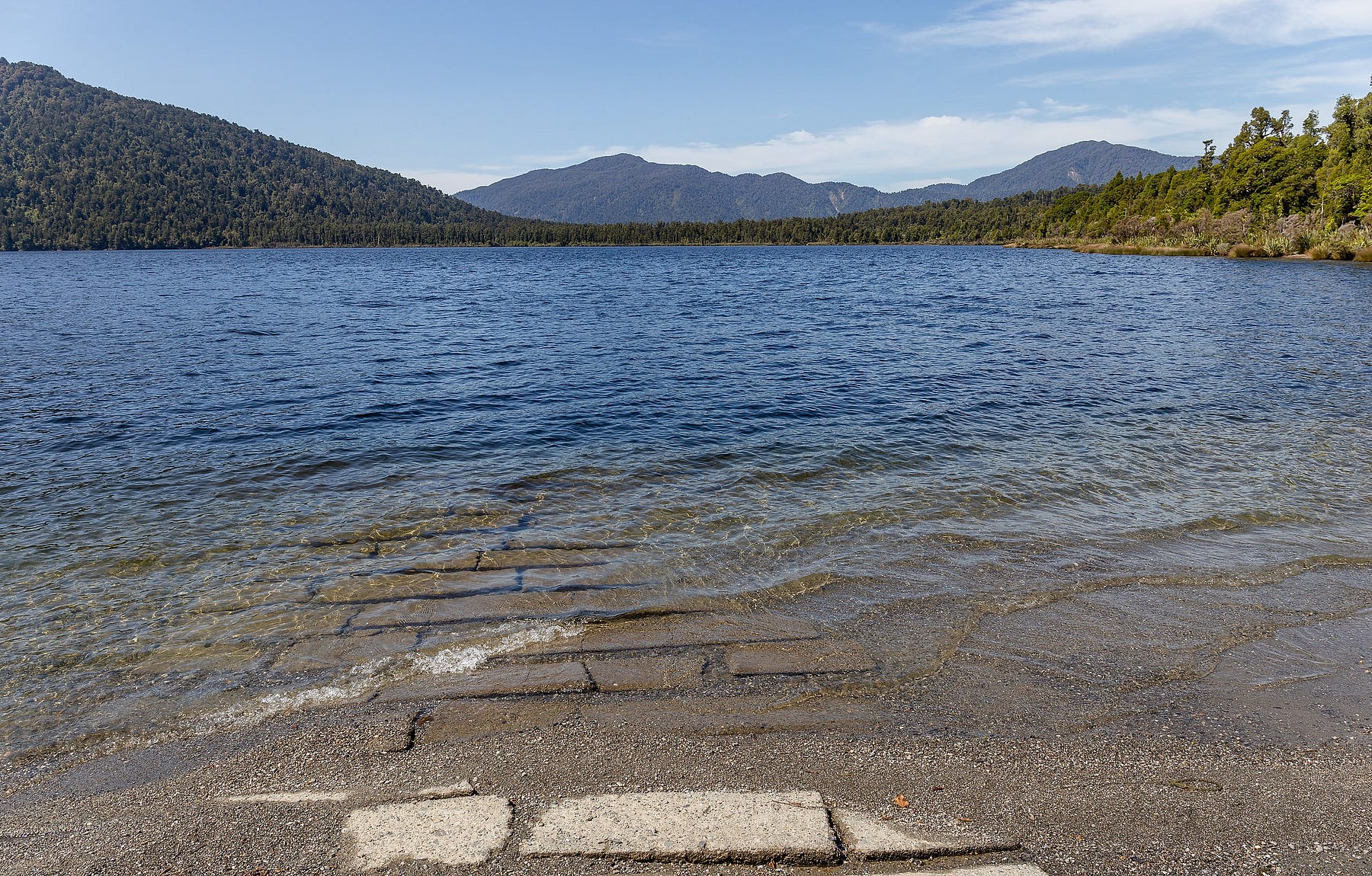
My friend Grant and I went for a hike to Lake Ellery, another scenic lake, with reflecting pools along the way.
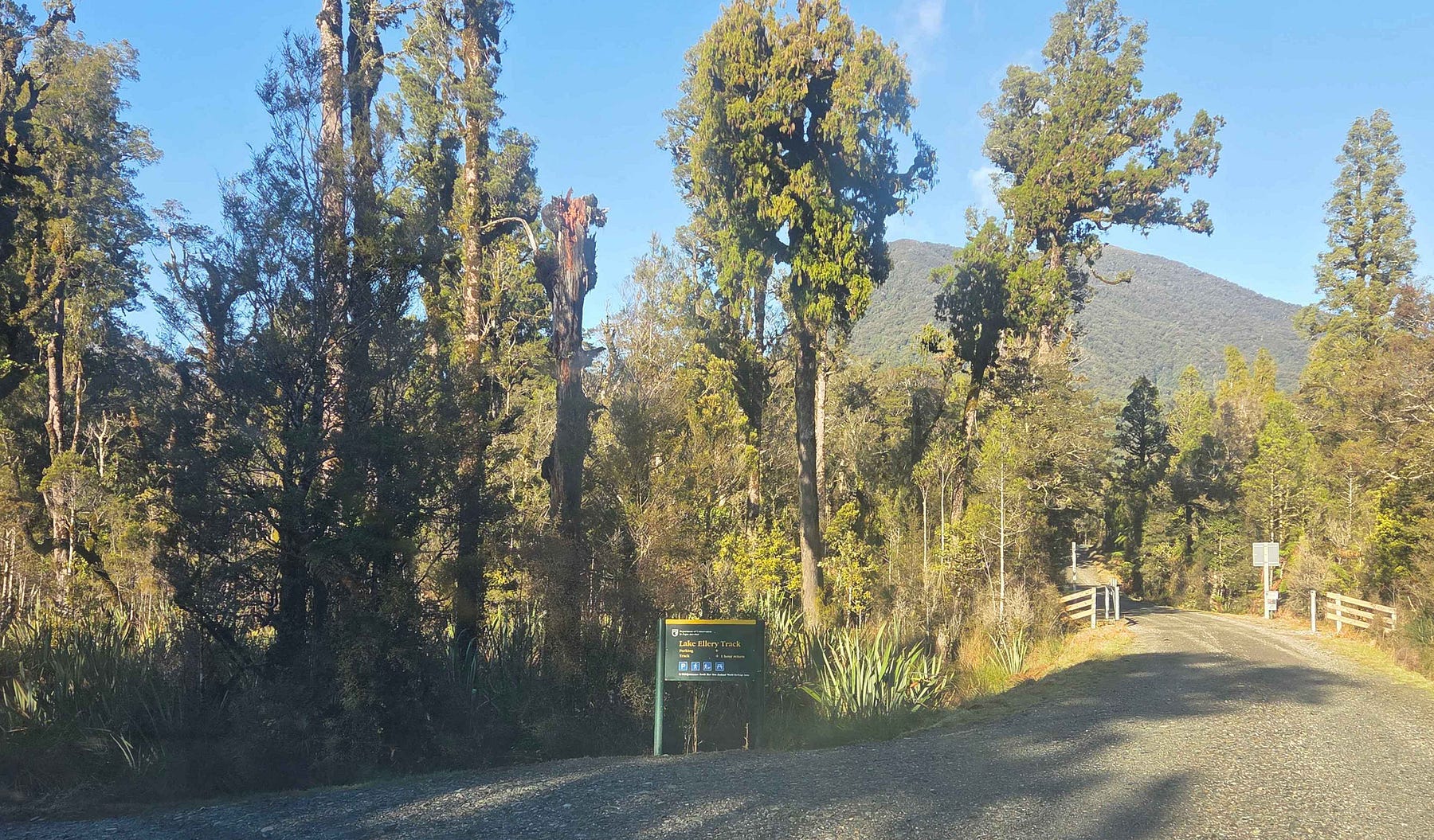
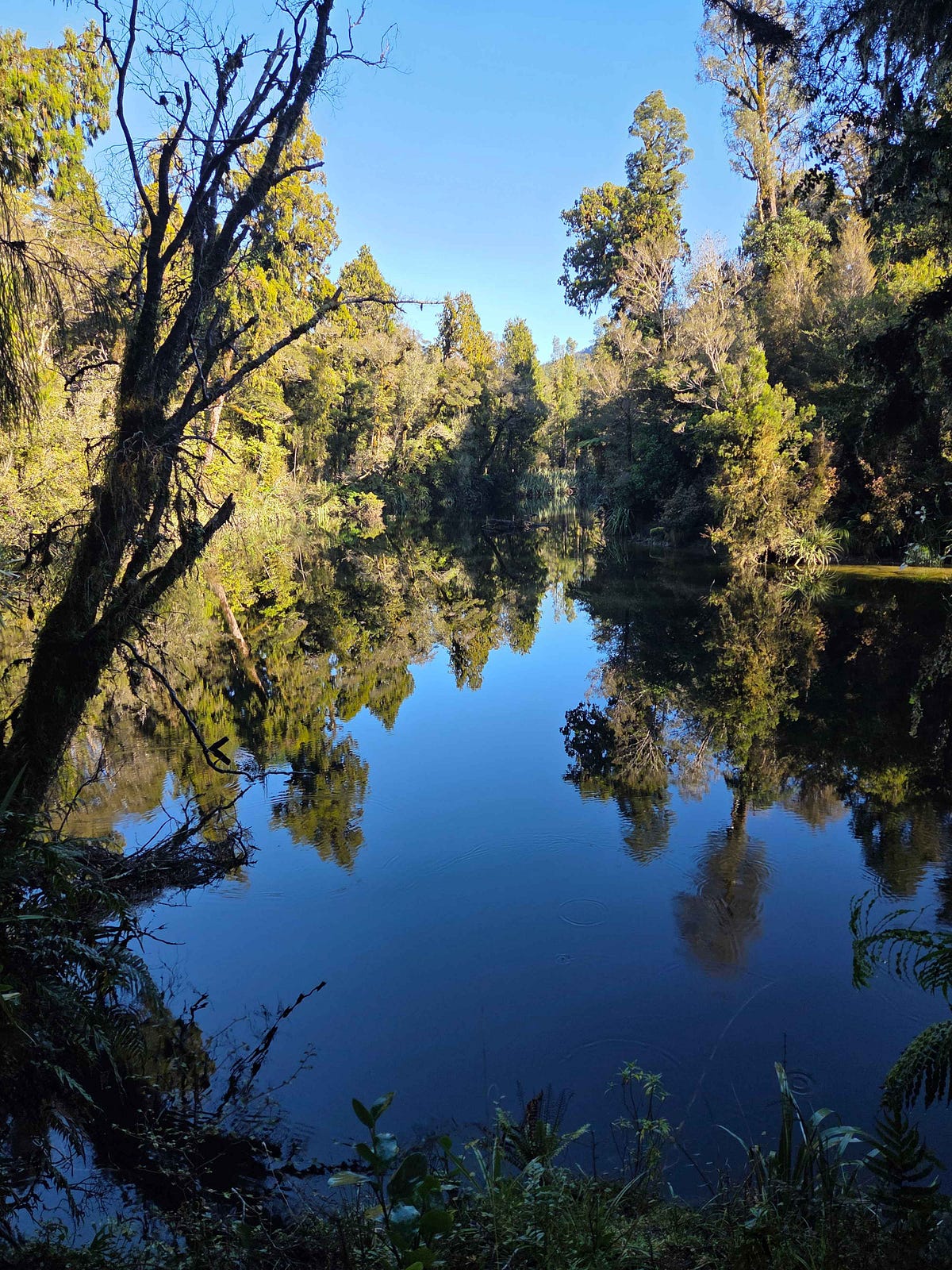
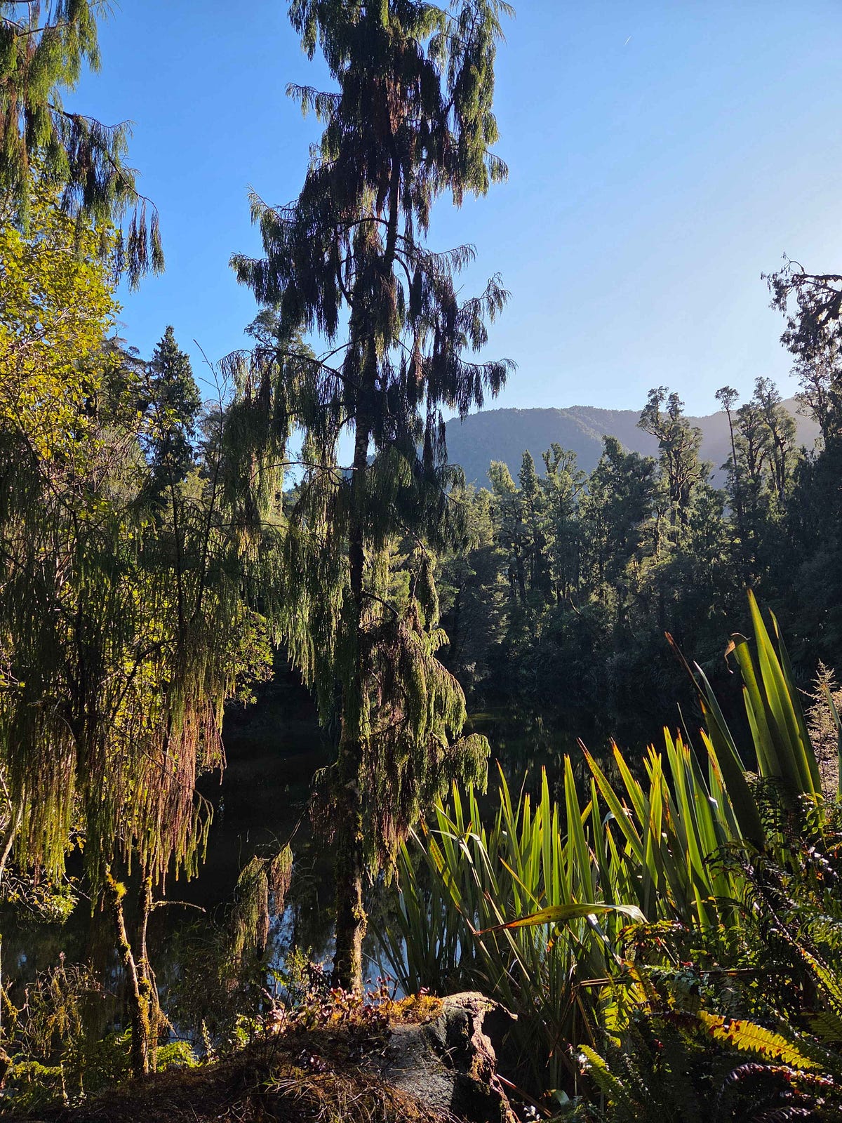
Here is a video of scenes from the Lake Ellery Track.
We could also see some pretty amazing whitebait stations around the mouths of the rivers here.
Unfortunately, because it was winter, the legendary Craypot in Jackson Bay township was closed as well. Otherwise, we would have carried on to Jackson Bay for some locally caught and oh-so-fresh seafood.
From Jackson Bay, you can also do a walk to the Stafford Hut. I heard about this hut at the Haast Visitor Centre. The route to the Stafford Hut and Back mainly comprises a loop, with one side inland and the other side on an exposed rocky coast accessible only at low tide and capable of being traversed only in one direction.
In fact, the coastal leg is so dodgy that the Department of Conservation advises people to avoid it altogether and just use the landward route both to the hut and back. Even the landward route is somewhat advanced, with no formed track for most of the way.
Here’s the promised list of Westland District camping sites: https://www.westlanddc.govt.nz/recreation/campgrounds-and-responsible-camping/
My experience was that Booking dot com had the cheapest places to stay in South Westland, around NZ $80 a night, with Airbnb more costly at NZ $160.
For more about this part of the world, you might want to check out some earlier blog posts of mine, including:
Green Jungles and Waters of Jade: The natural riches of the South Island’s wild West Coast
Big Country: The Haast Pass/Tīoripātea Highway (Part 1)
Big Country: The Haast Pass/Tīoripātea Highway (Part 2)
If you liked this post, check out my book about the South Island! It’s available for purchase from available from my website a-maverick.com.
Subscribe to our mailing list to receive free giveaways!
