Giveaways
THIS week, I follow up on last week’s post with some additional photos and videos of a trip from Titirangi to Whatipū at the end of April, and of the Mercer Bay Loop Track on a sunny day in June.
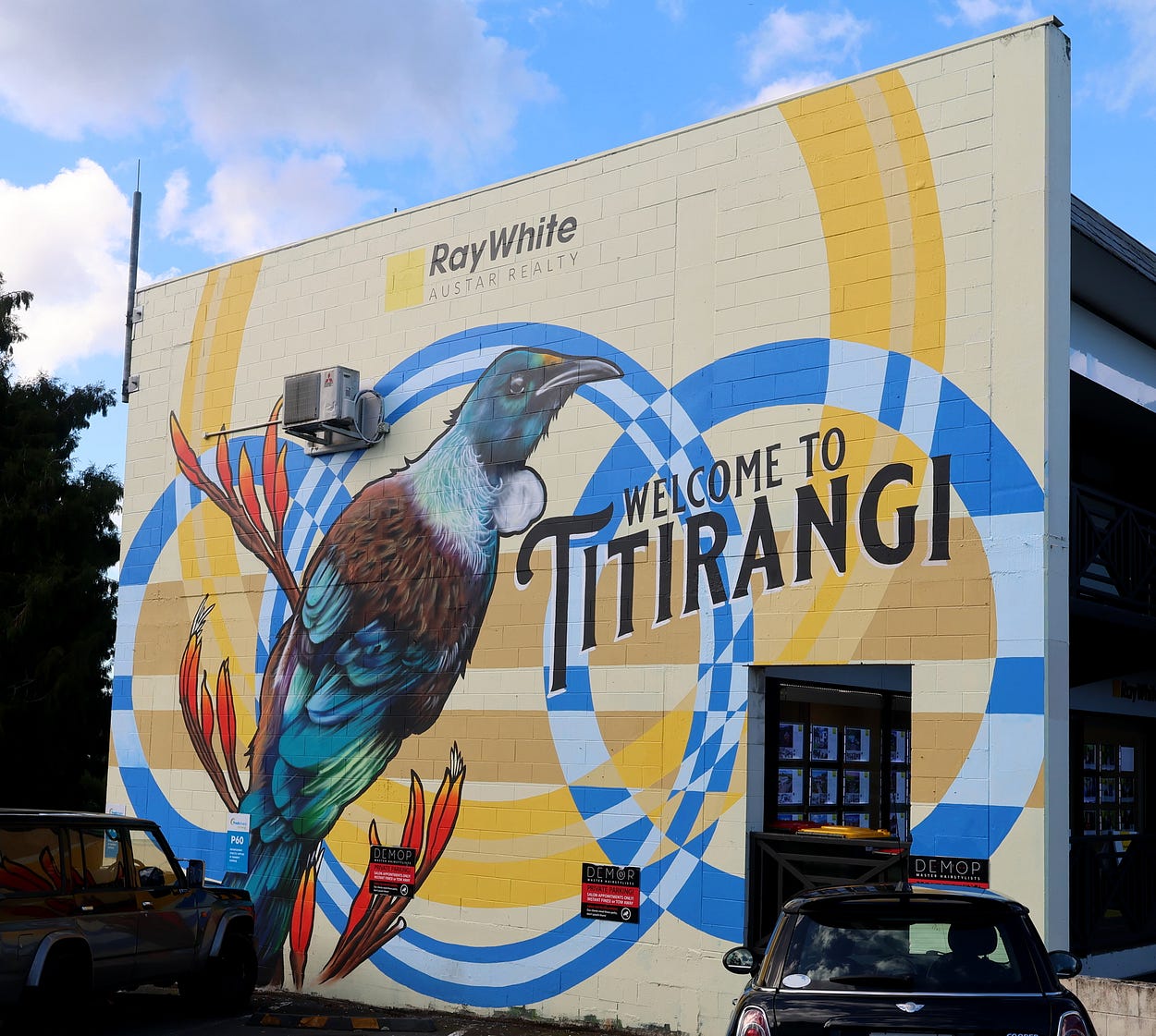
The amazing thing about Titirangi is that you are already into the primordial bush. Even some of the artificially planted street trees seem to be kauri!
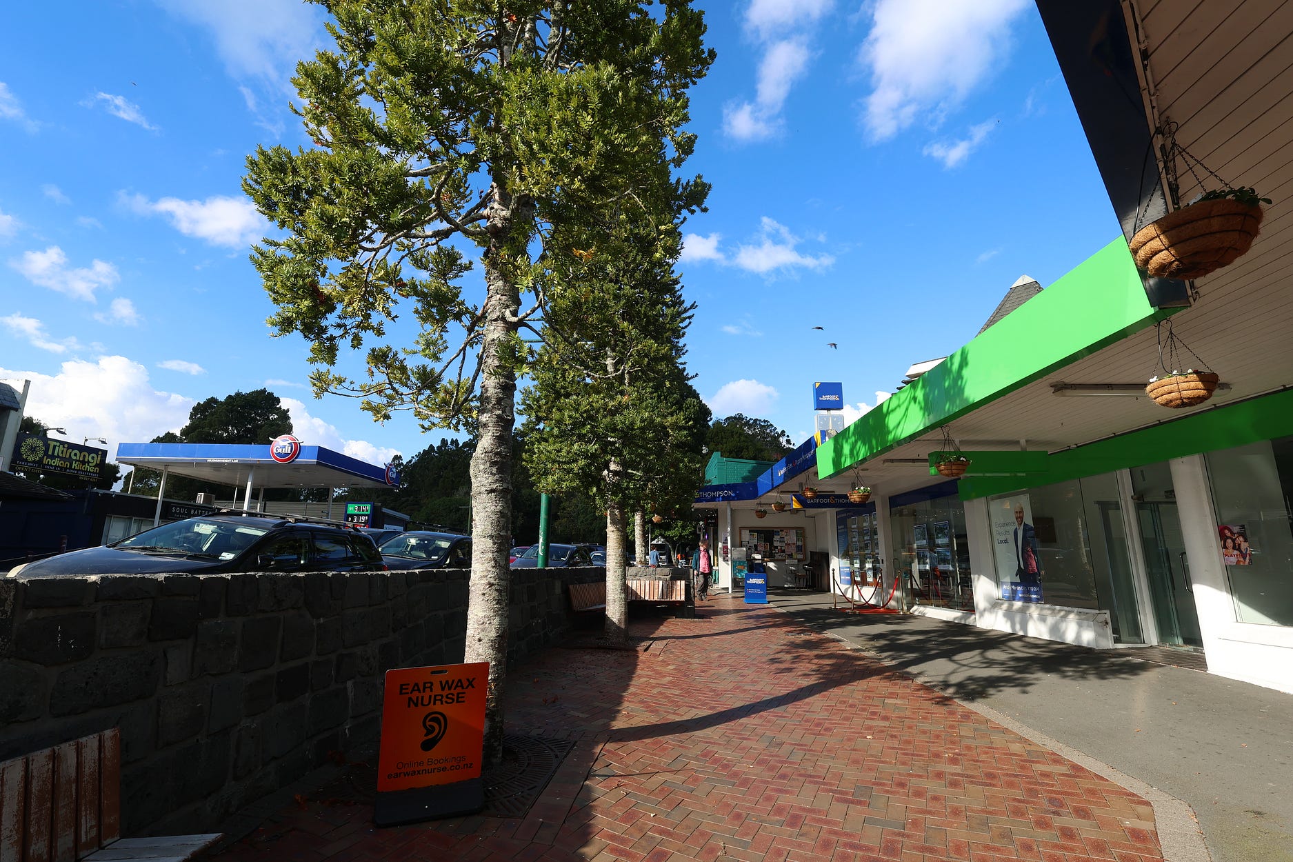
At the Titirangi Roundabout, you head on down the Huia Road, past Laingholm Beach and Cornwallis Beach, to the Huia Lookout.
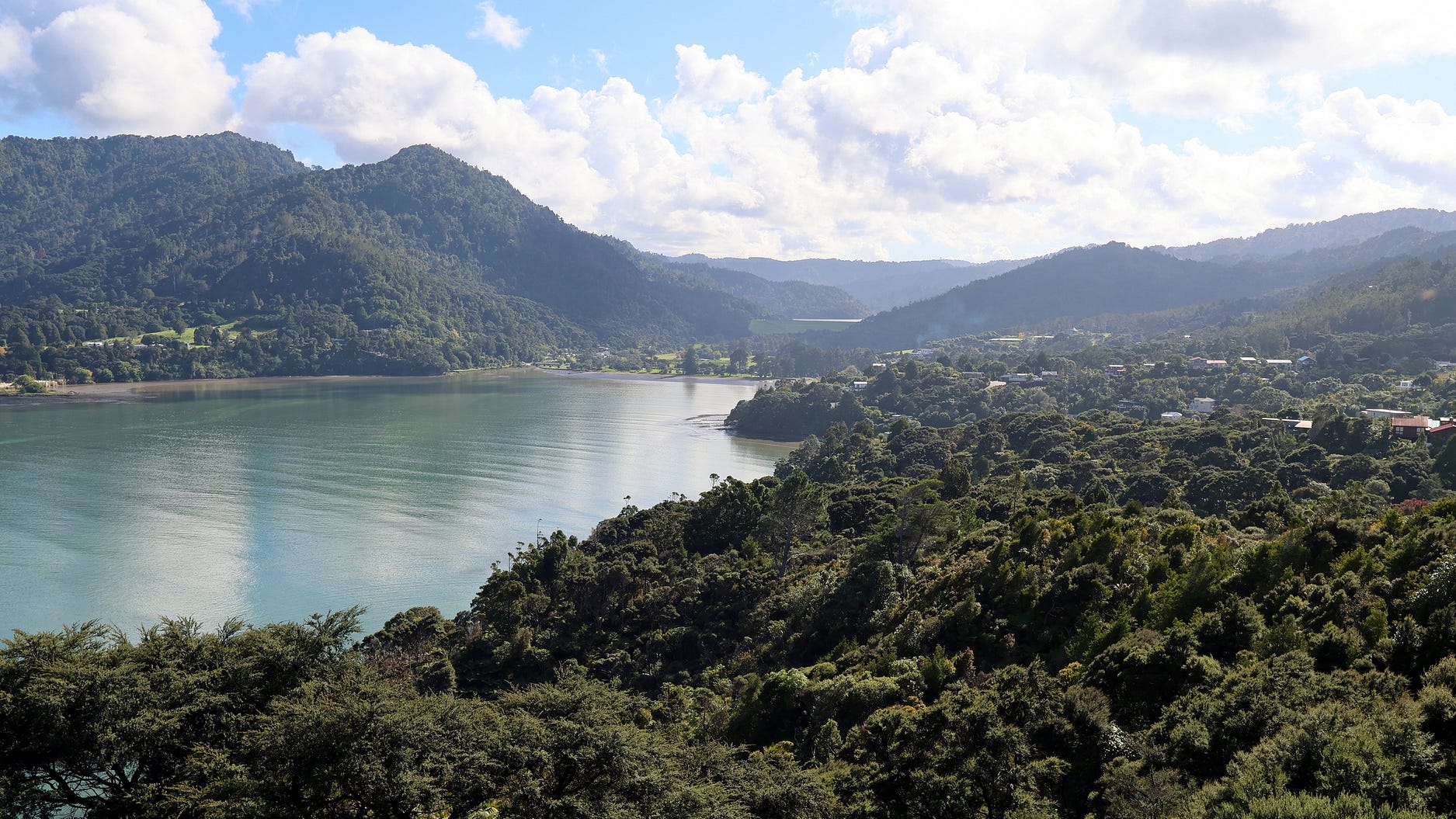
And then on to Huia and Little Huia.
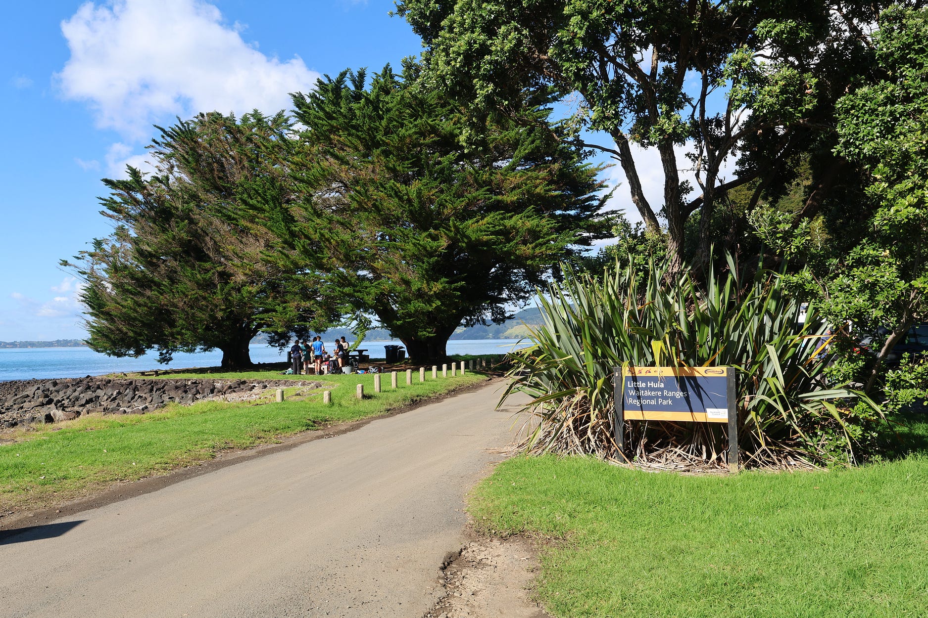
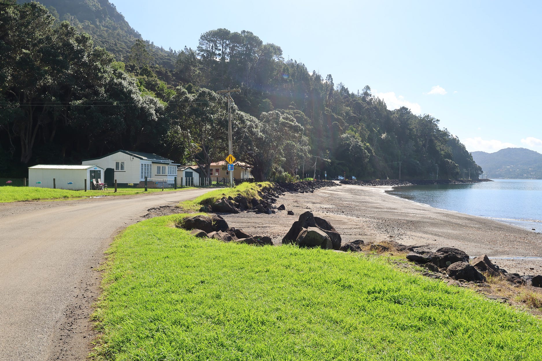
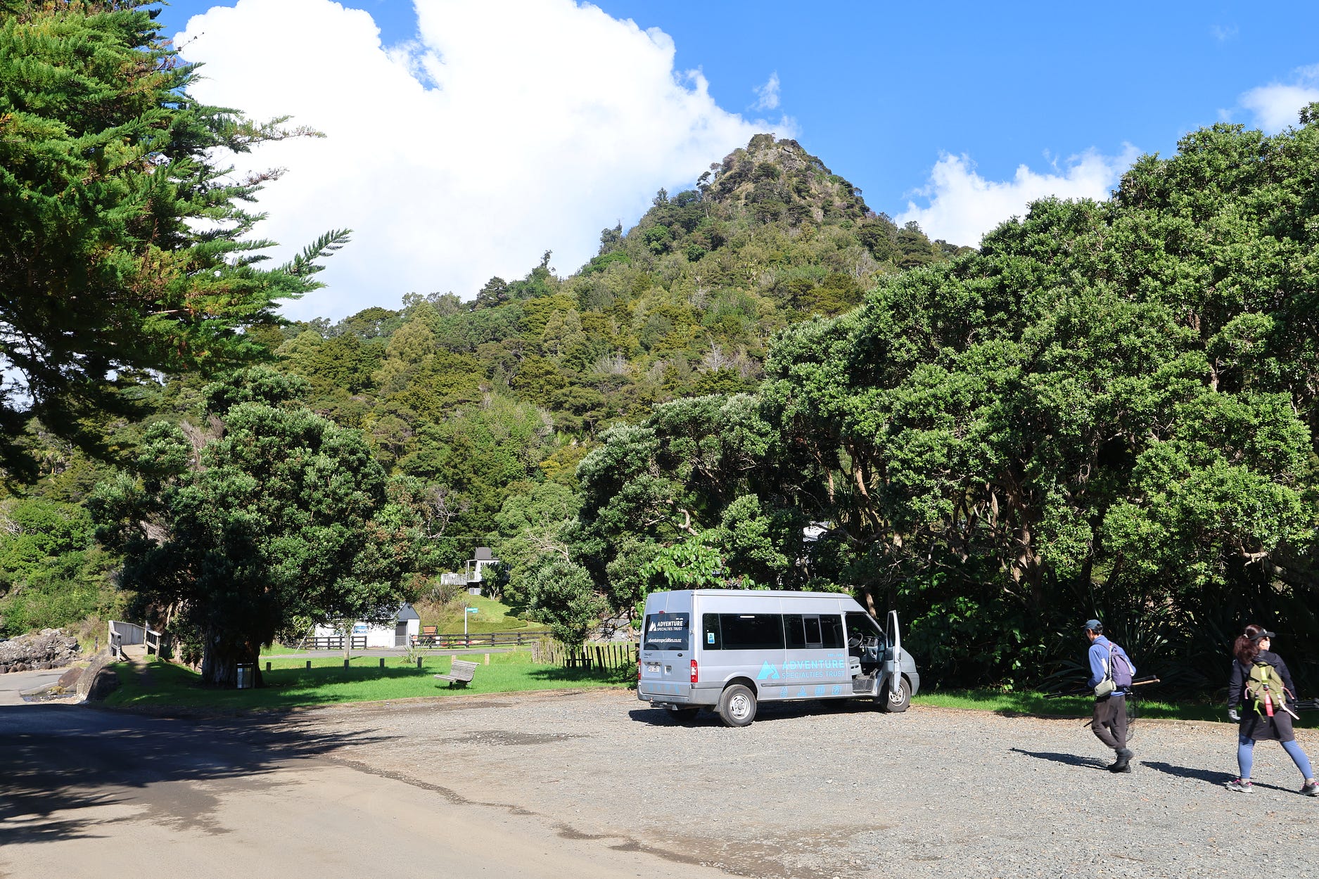
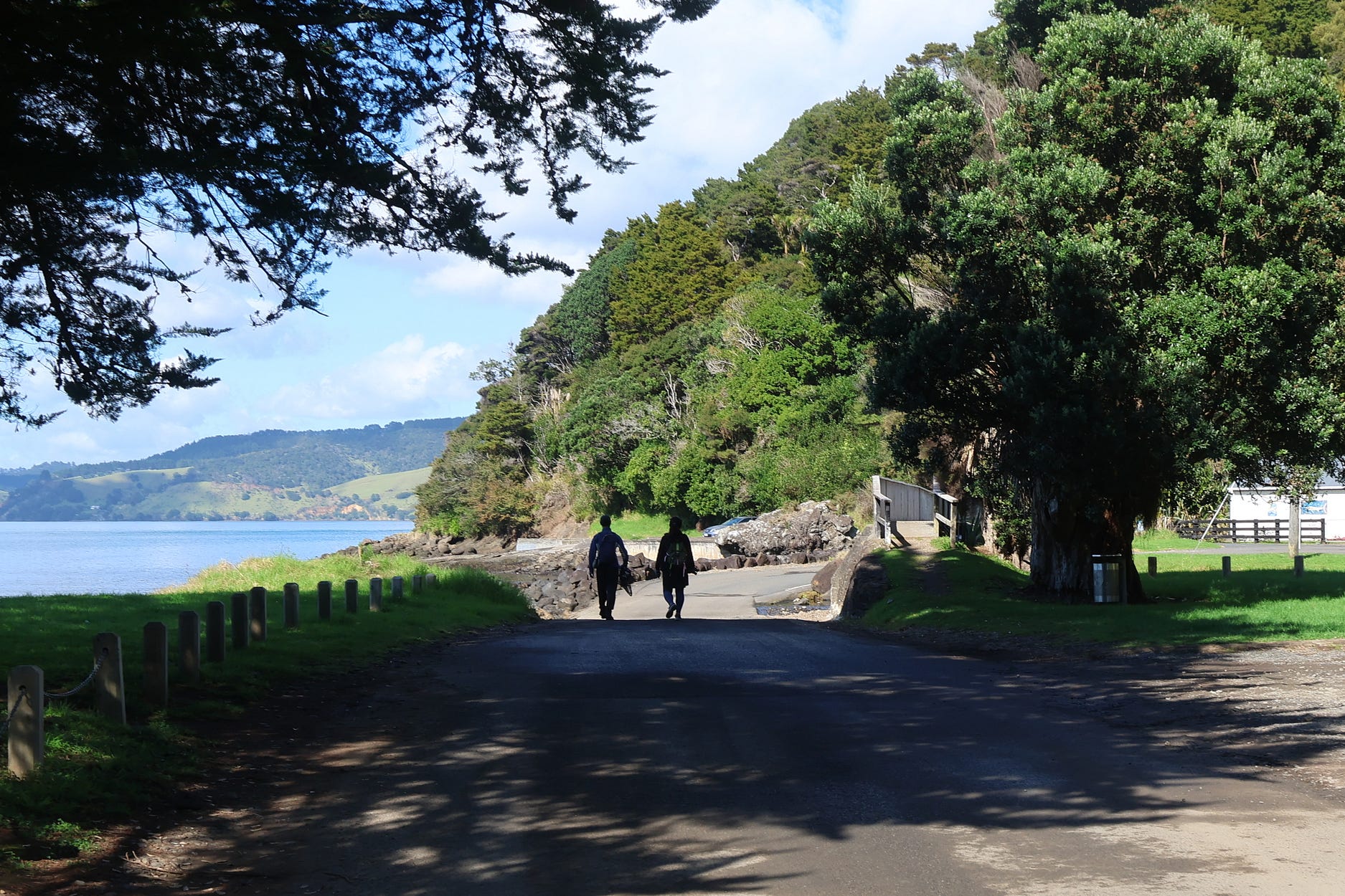
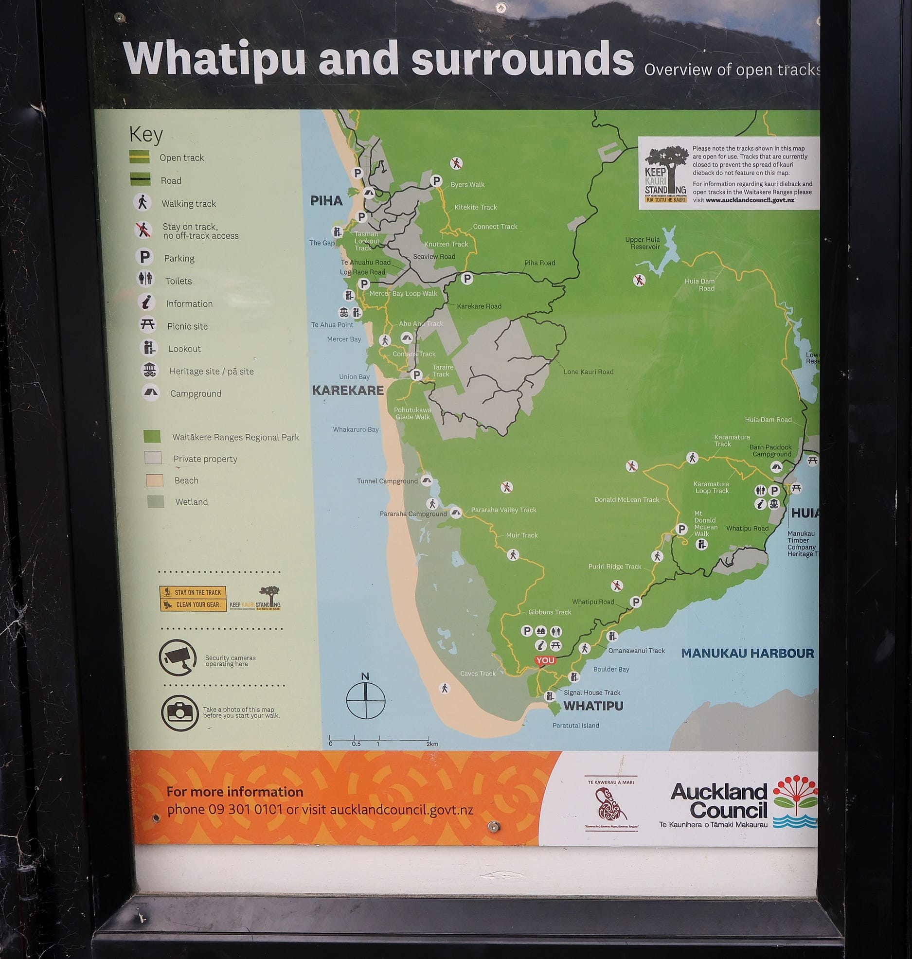
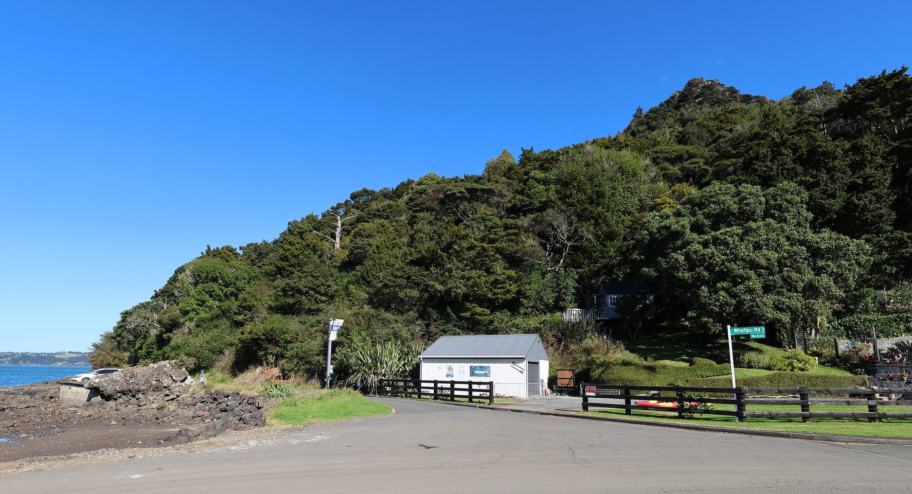
To carry on to Whatipū, you then turn down Whatipū Road. Just at the start of Whatipū Road, there’s a tiny home that you can hire, nestled into the bush behind a shed in the next photograph.
Here’s a view from the tiny home, which currently goes for NZ $150 a night.
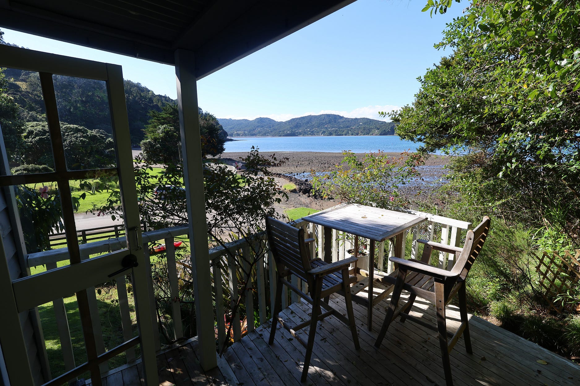
The canoe that you can see in both photos rents for NZ $20 an hour as well. Phone Karl Dewstow on 022–4811–211 if you are keen!
Heading on down Whatipū Road, it isn’t long before you get to Mt Donald McLean Road, on the right. This short, steep road leads up to Te Rau-o-te-Huia / Mt Donald McLean, which at 389 metres (1.276 feet) commands impressive views from a lookout at the top.
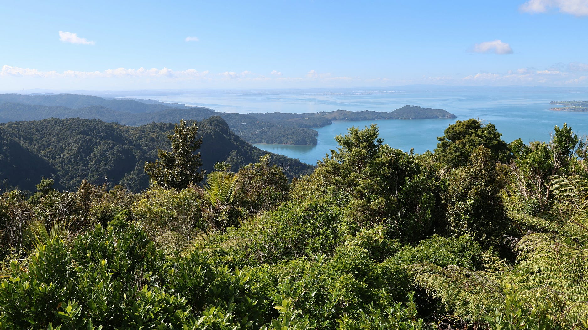
There’s a carpark, from which you can hike up to the lookout.
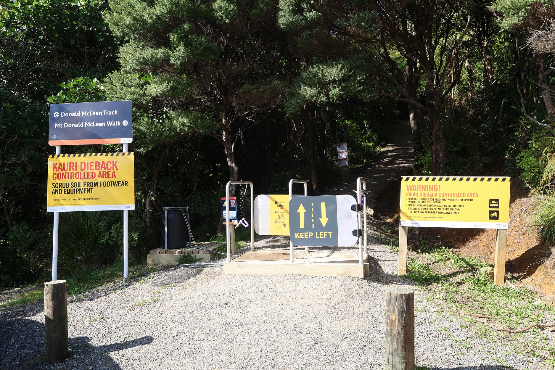
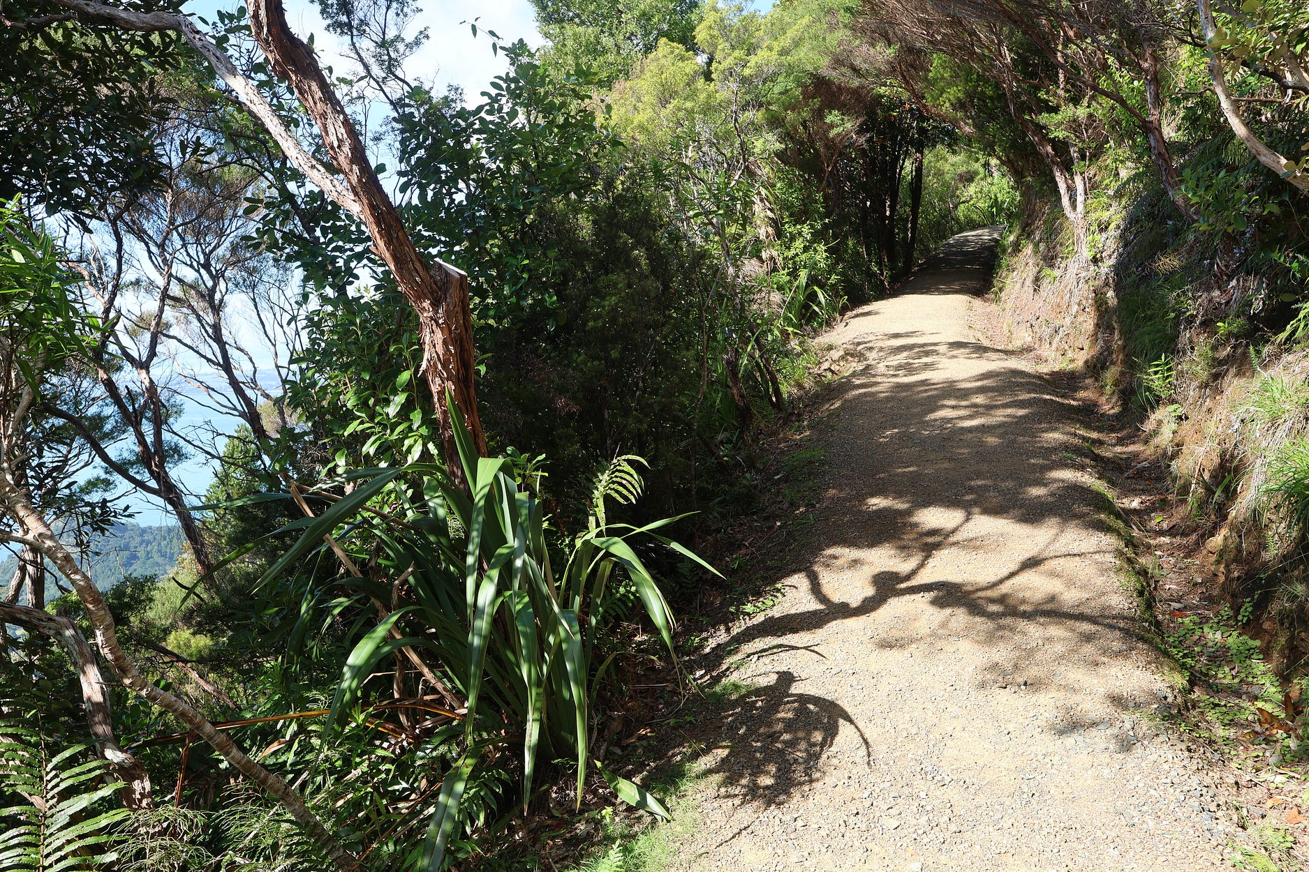
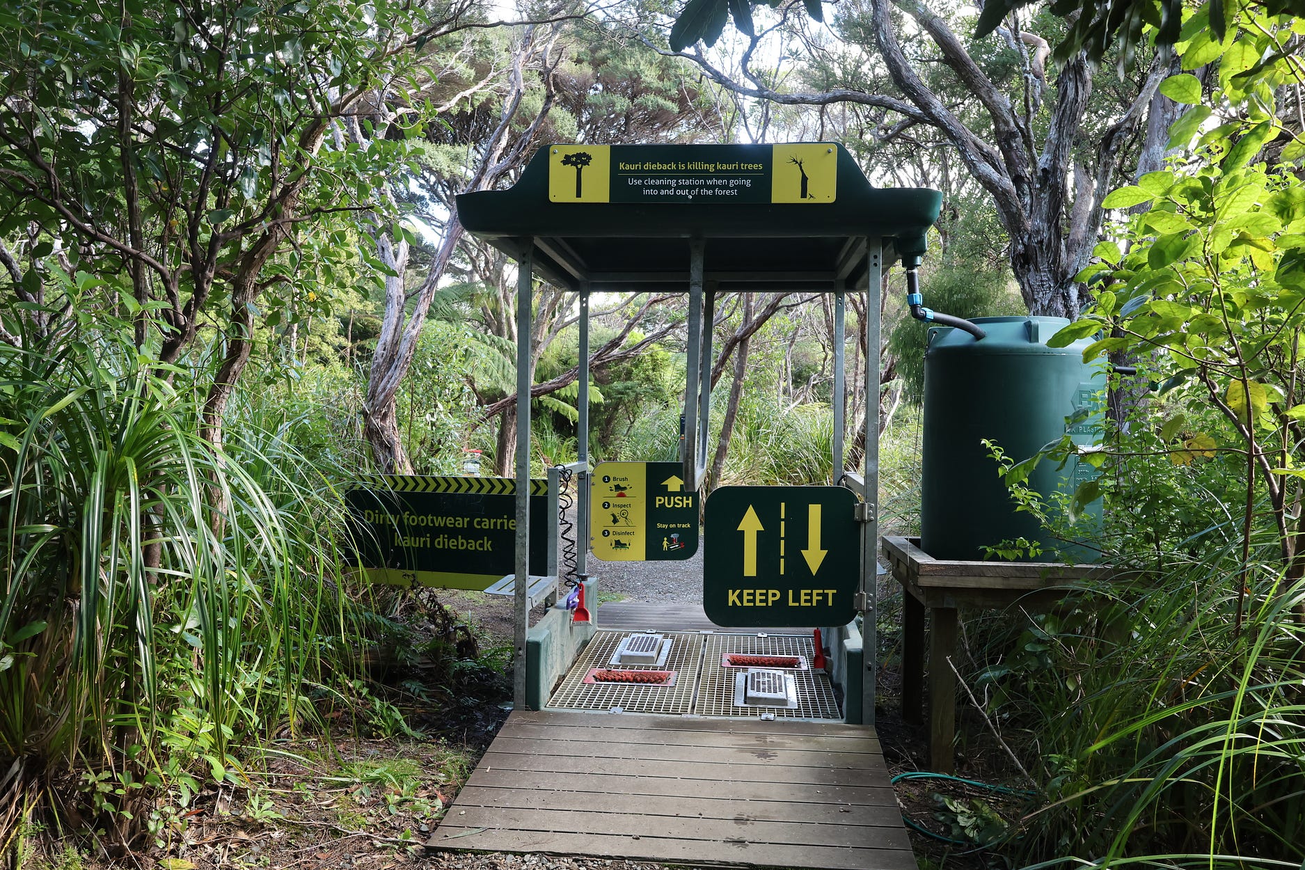
Boot cleaning stations, to try and limit the spread of kauri dieback spores, are everywhere.
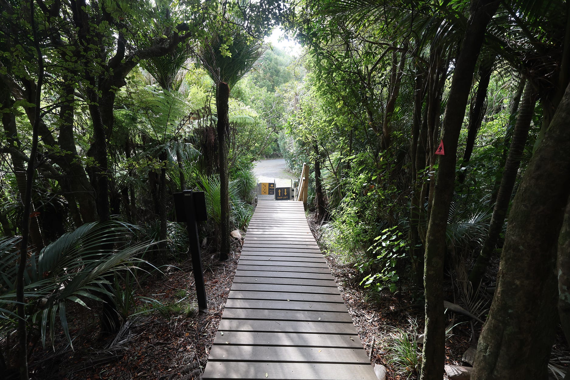
Further on down Whatipū Road, you come to the heavily boardwalked Ōmanawanui Track, with the obligatory boot-cleaning facilities at the start and finish.
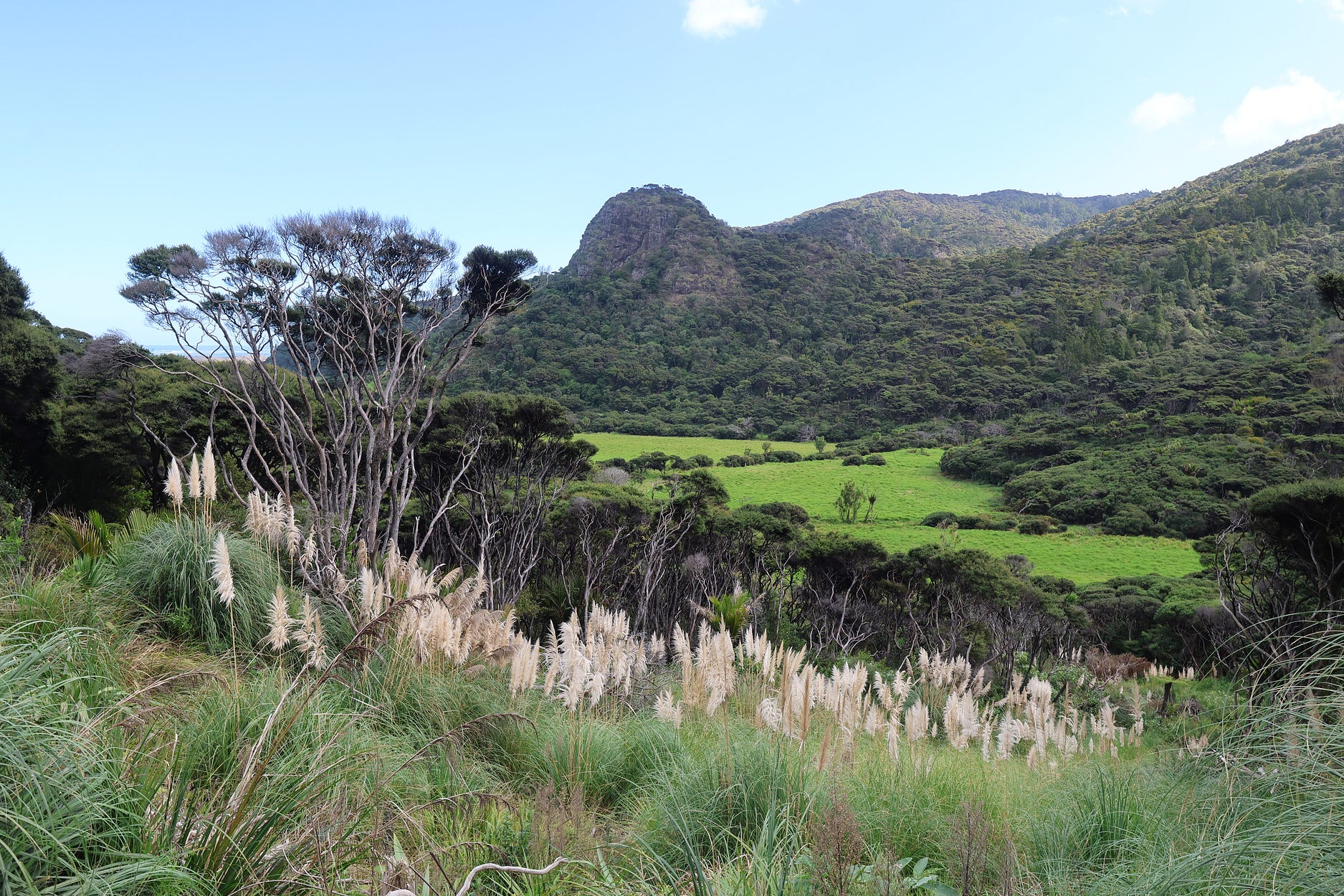
And so, down to Whatipū itself, a great area of sandy, swampy wilderness, created by a huge mass of sand slowly making its way northward.
In some versions of local Māori lore, Whatipū was the name of an ancient taniwha, or dragon-like water-spirit, which gathered with four others in this area. Another tradition holds that Whatipū means ‘last camp,’ the last resting place on a traditional food-gathering route.
Whatever its name first meant, there is a campground at Whatipū, which is handy to know.
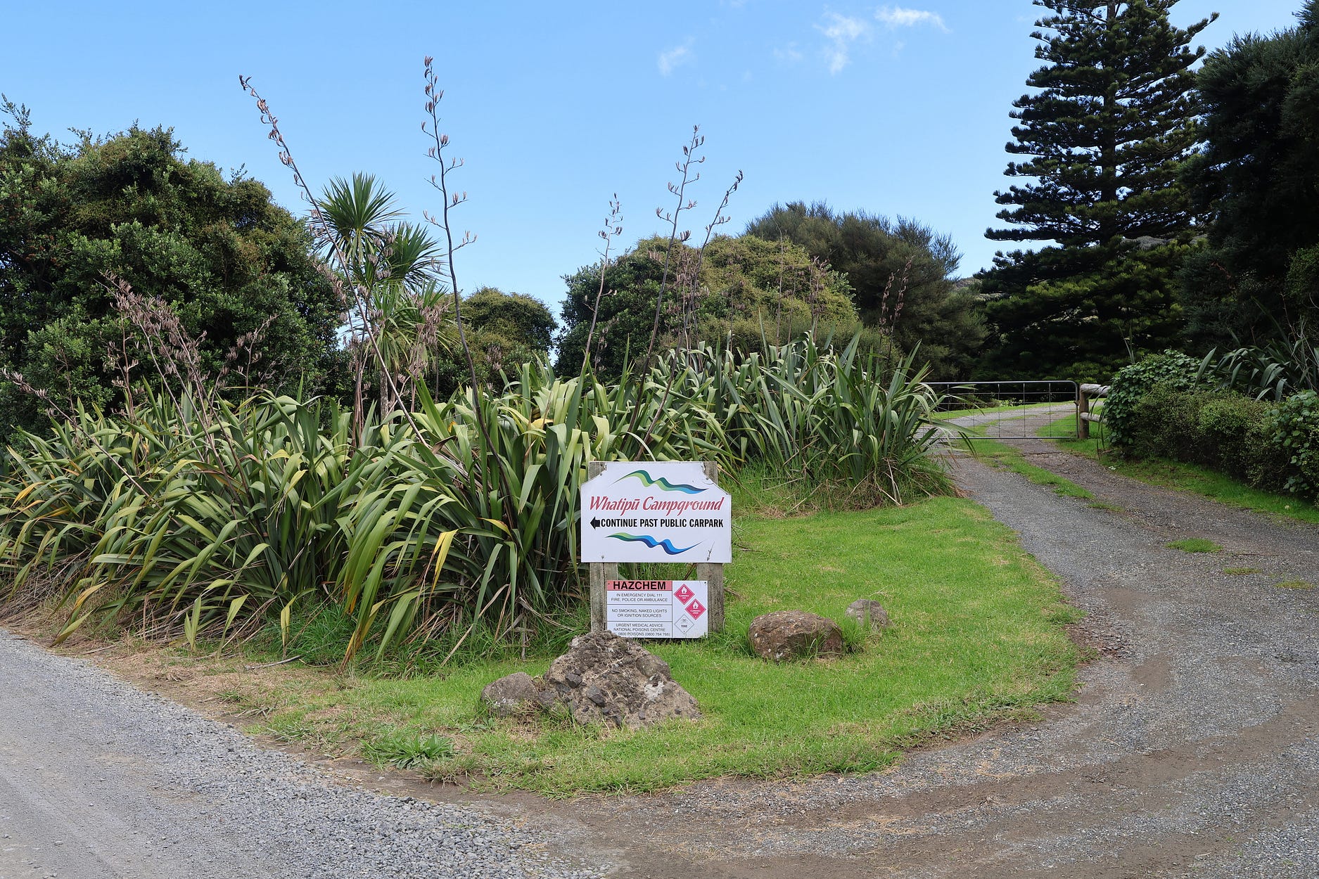
At the end of April, when these photos were taken, there didn’t seem to be anybody in the campground. Or maybe just one or two vehicles, perhaps.
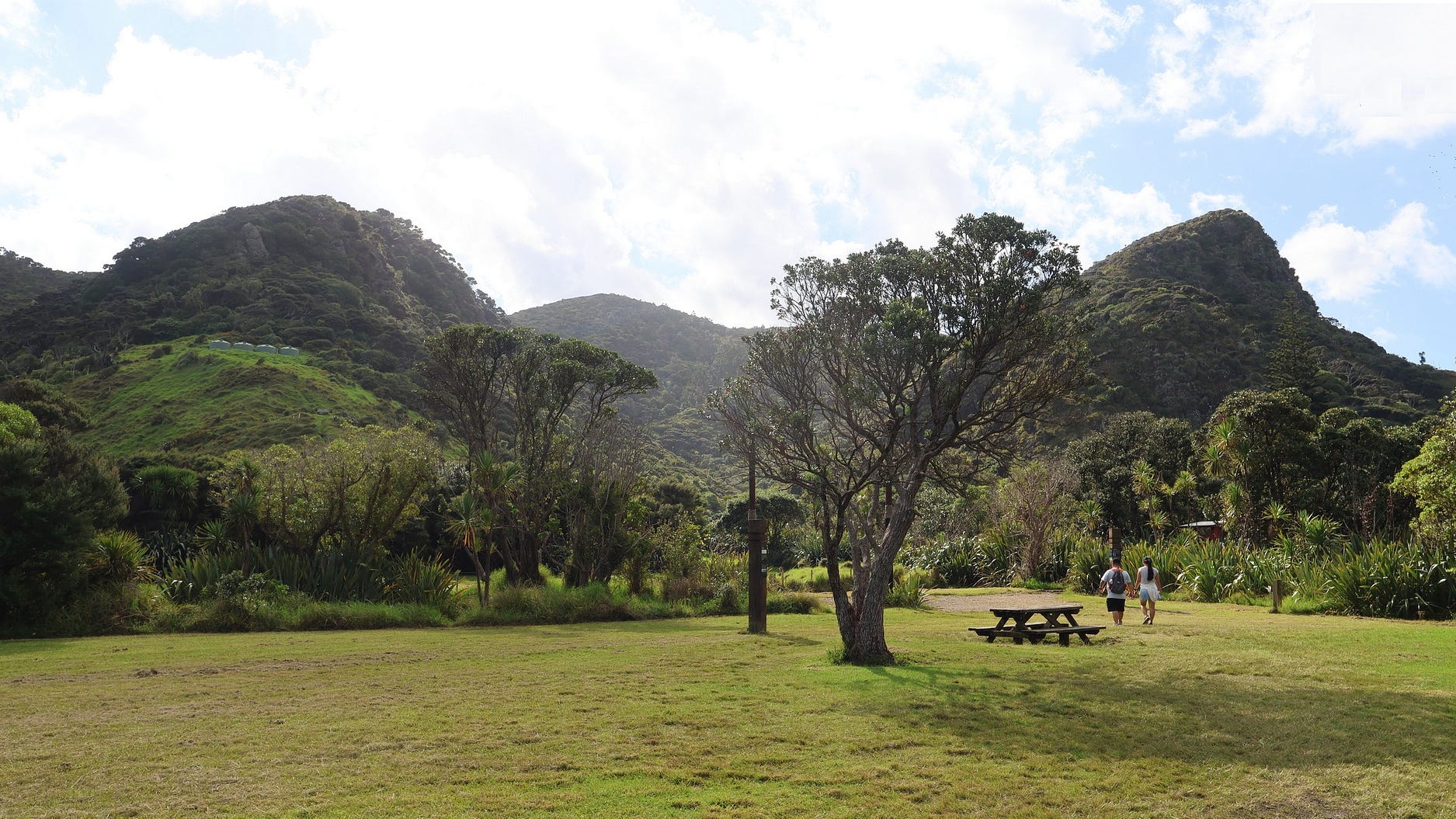
And so, to the beach.
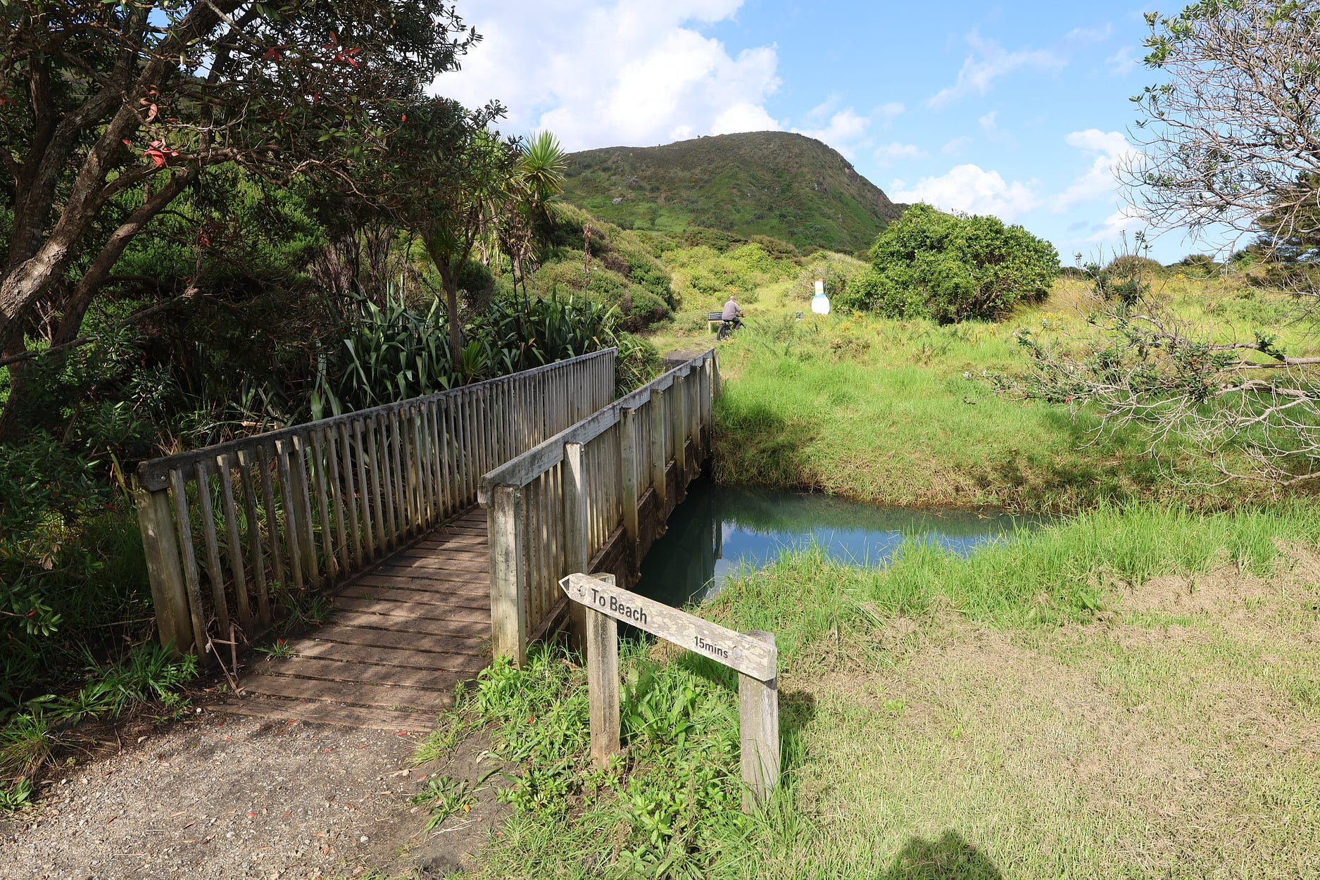
The sand in this area is a blend of golden beach sand and black magnetite, a magnetic oxide of iron that can be separated from the golden sand by a magnet.
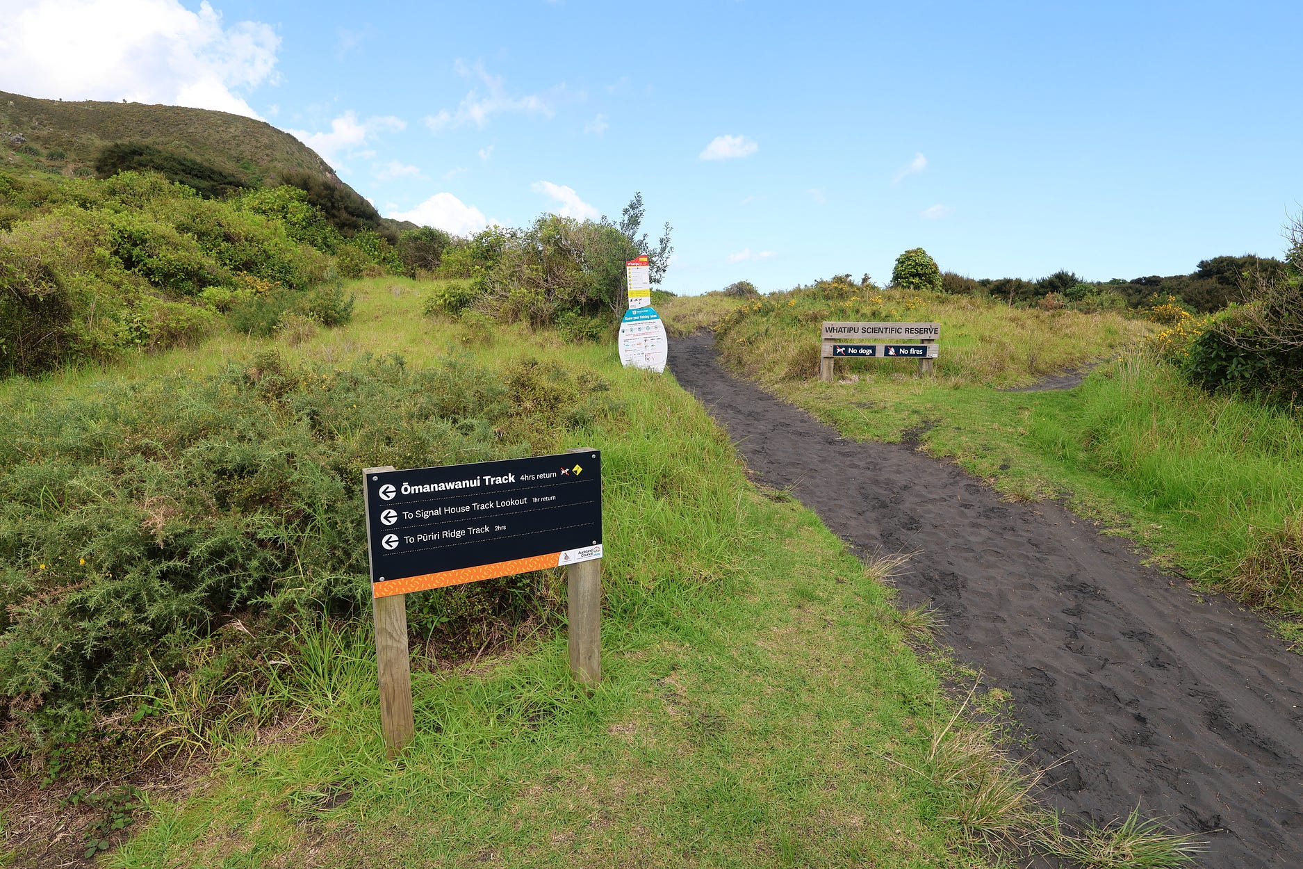
Magnetite mostly comes from volcanoes. So, whenever you see a black sand beach like this, it usually means that there are volcanoes nearby. In the case of Whatipū, the magnetite-bearing sand comes from Taranaki, where it began its long northward migration.
Just before the beach, in sight of it, there was a box full of rescue equipment next to an interpretive panel.
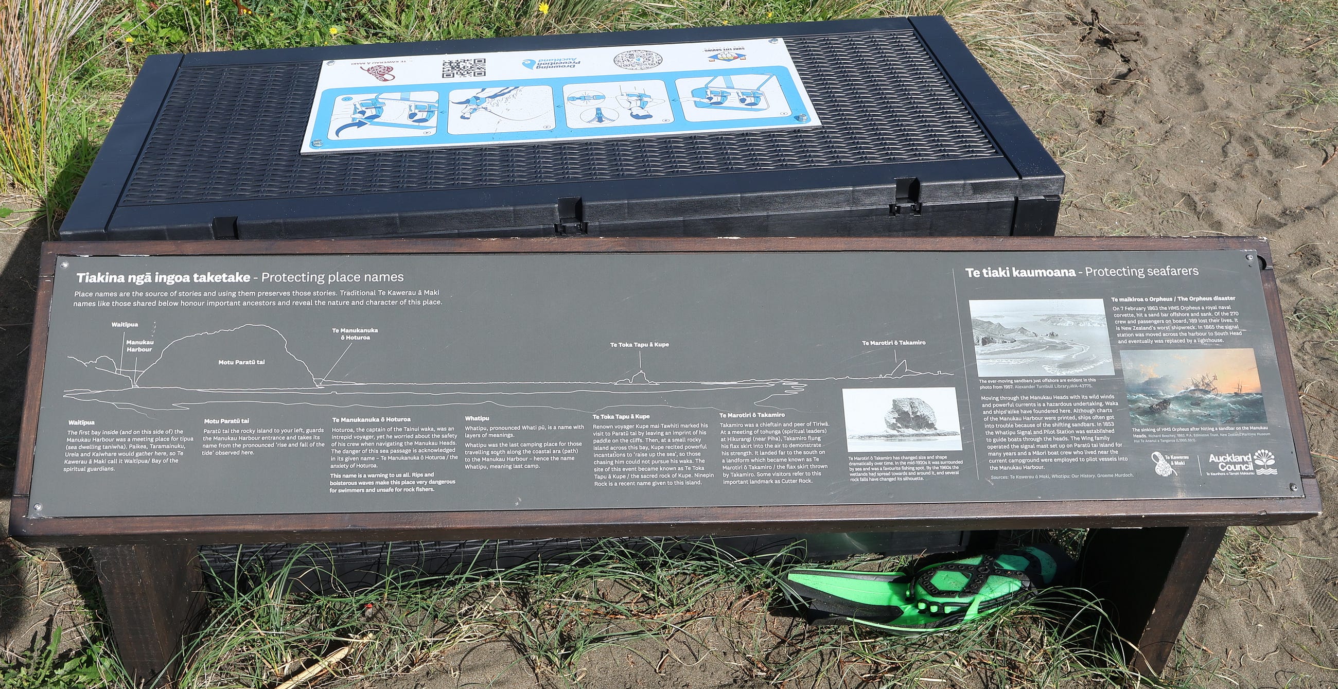
And so, after a little while, you get to the black-sand beach.
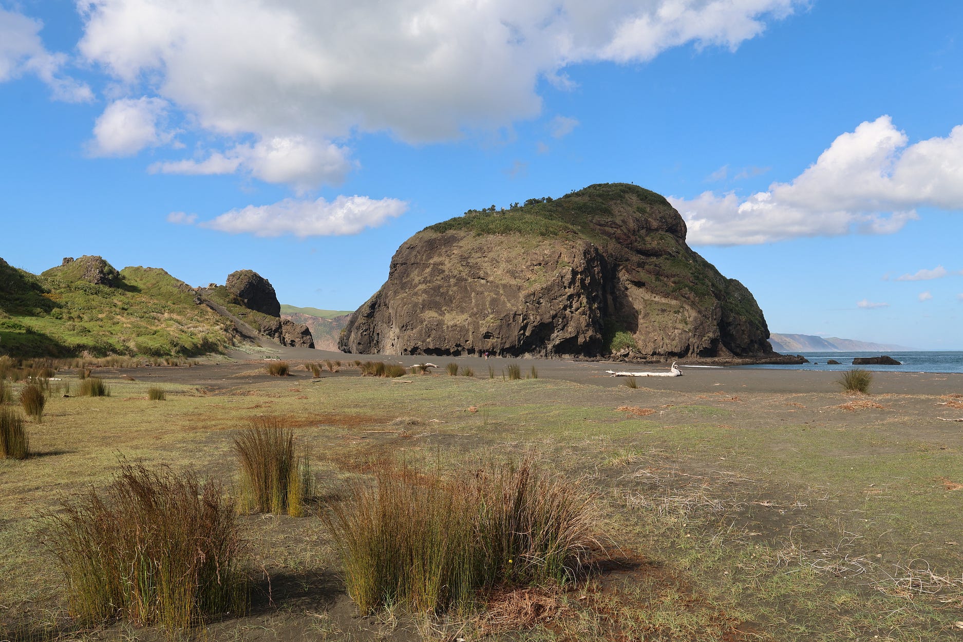
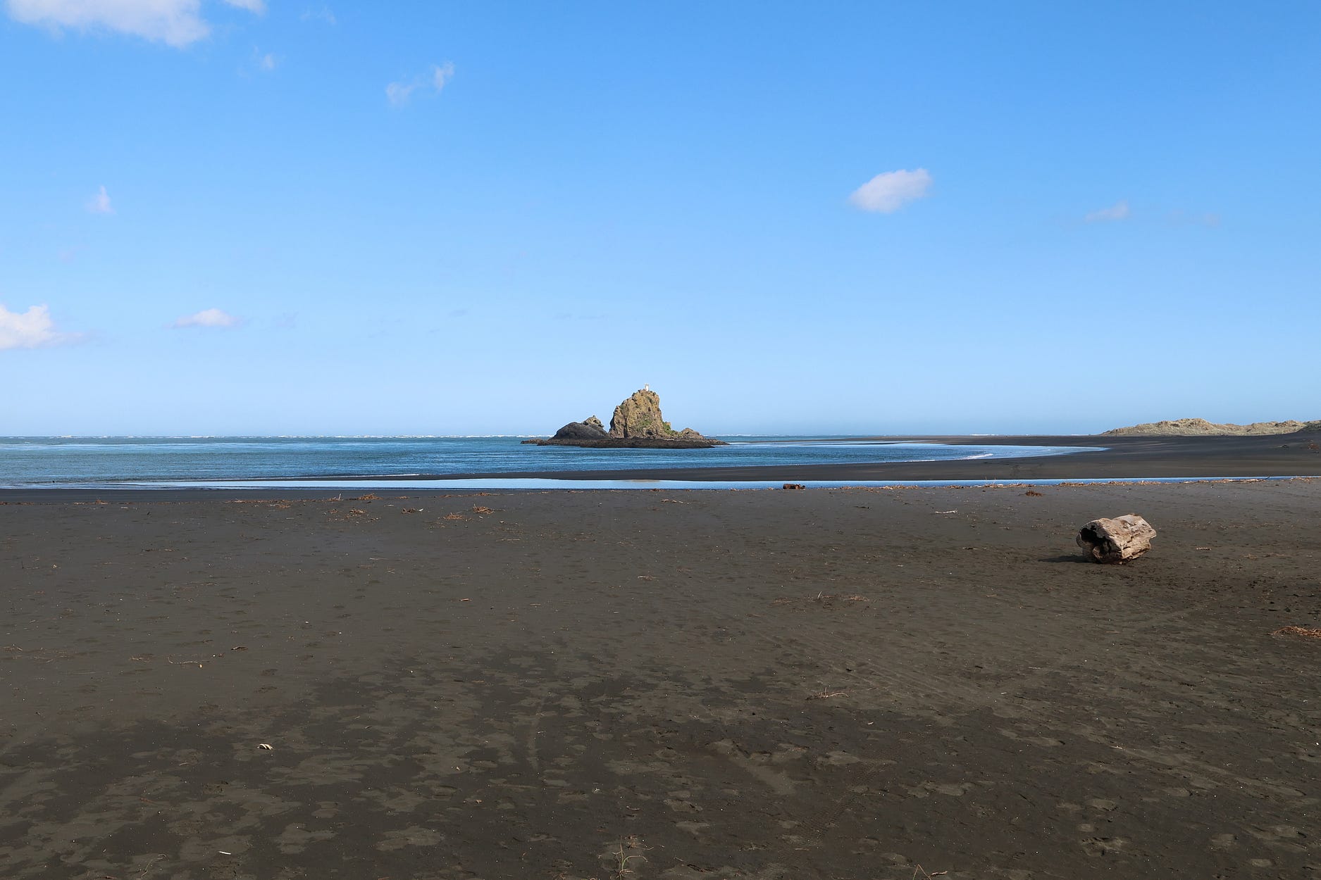
Te Toka Tapu ā Kupe means the ‘sacred rock of Kupe,’ the legendary discoverer of New Zealand. Pursued by foes, Kupe is said to have stood on this rock and recited a spell to raise the sea, thus foiling his pursuers. The sea here can be very treacherous, hence the box of modern-day rescue equipment. Wild seas probably made it easier for the spell to work, though they seemed calm when this photo was taken.
Here’s a video of scenes at the Huia Lookout, the Rau-o-te-Huia/Mt Donald McLean Lookout, the Ōmanawanui Track, and Whatipū. The thumbnail is of the Huia Lookout.
The rest of this post is about the Mercer Bay Loop Walk, well north of Whatipū and just south of Piha.
The great sand pulse of Whatipū hasn’t got this part of the coast yet. So the cliffs here mostly just plunge straight down into the Tasman Sea.
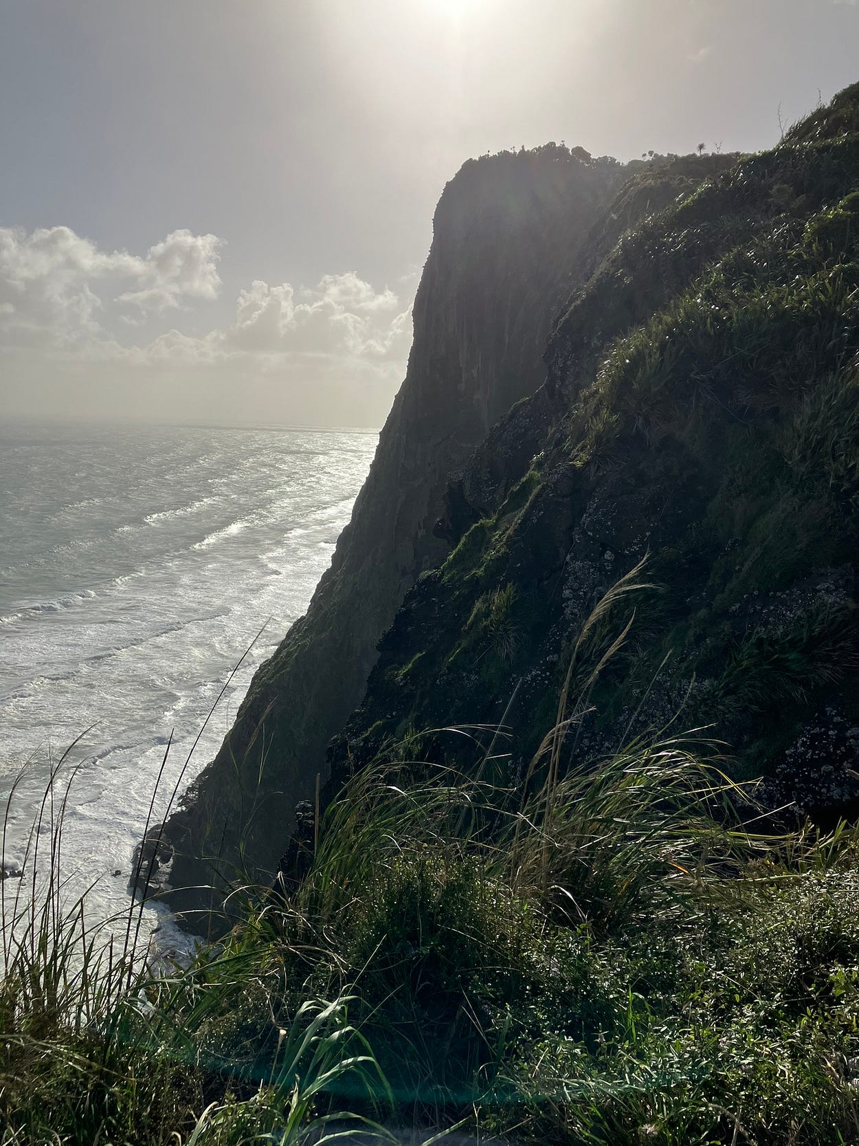
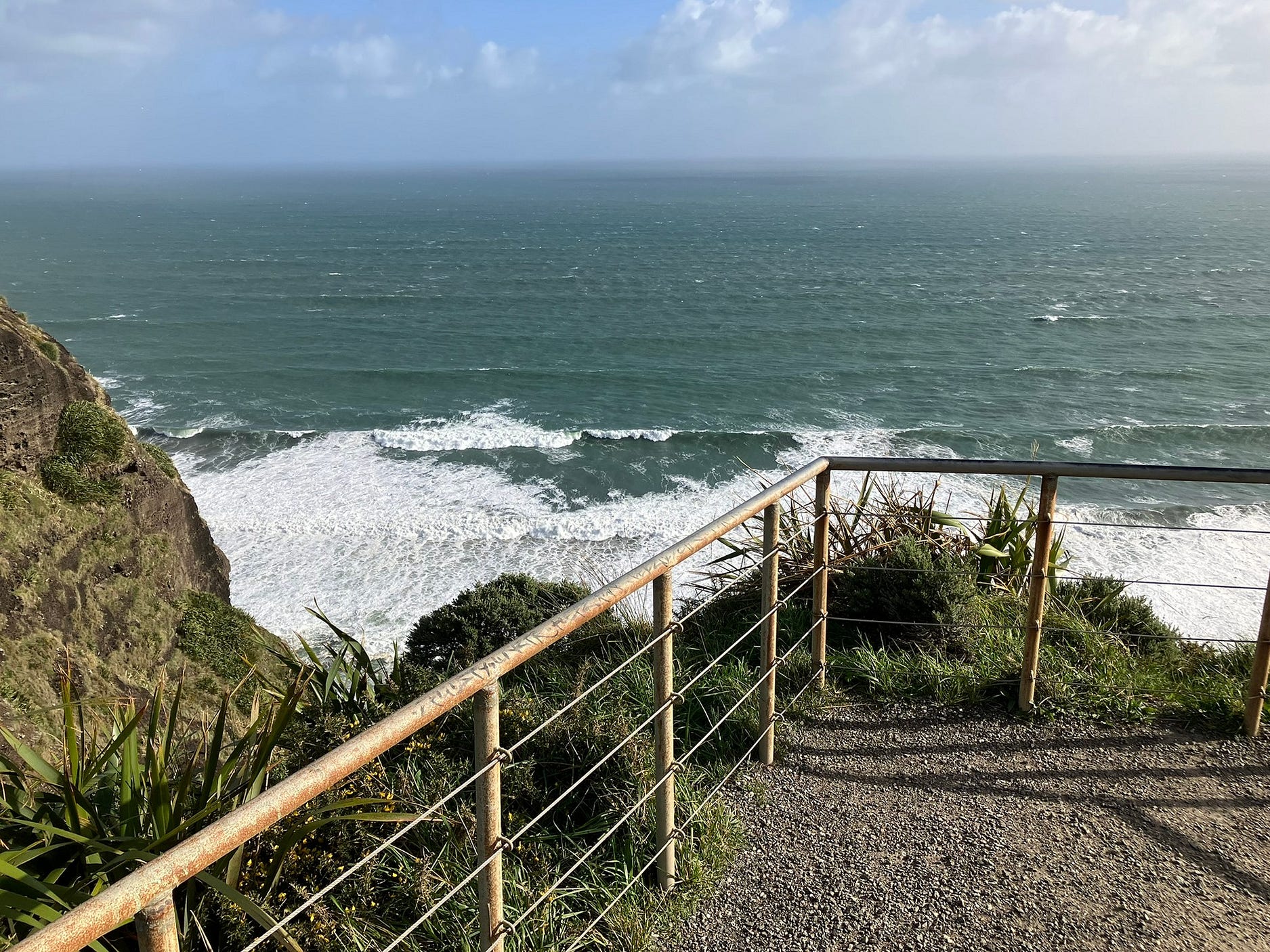
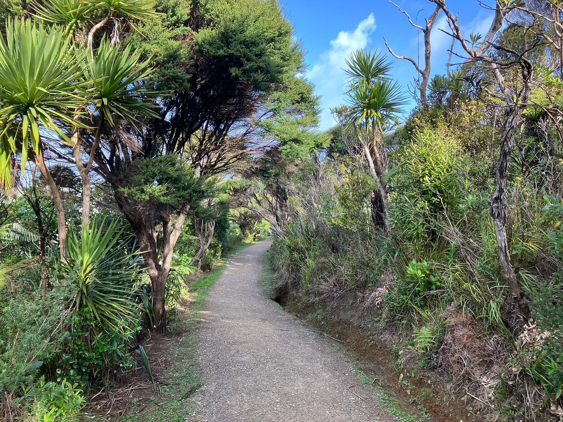
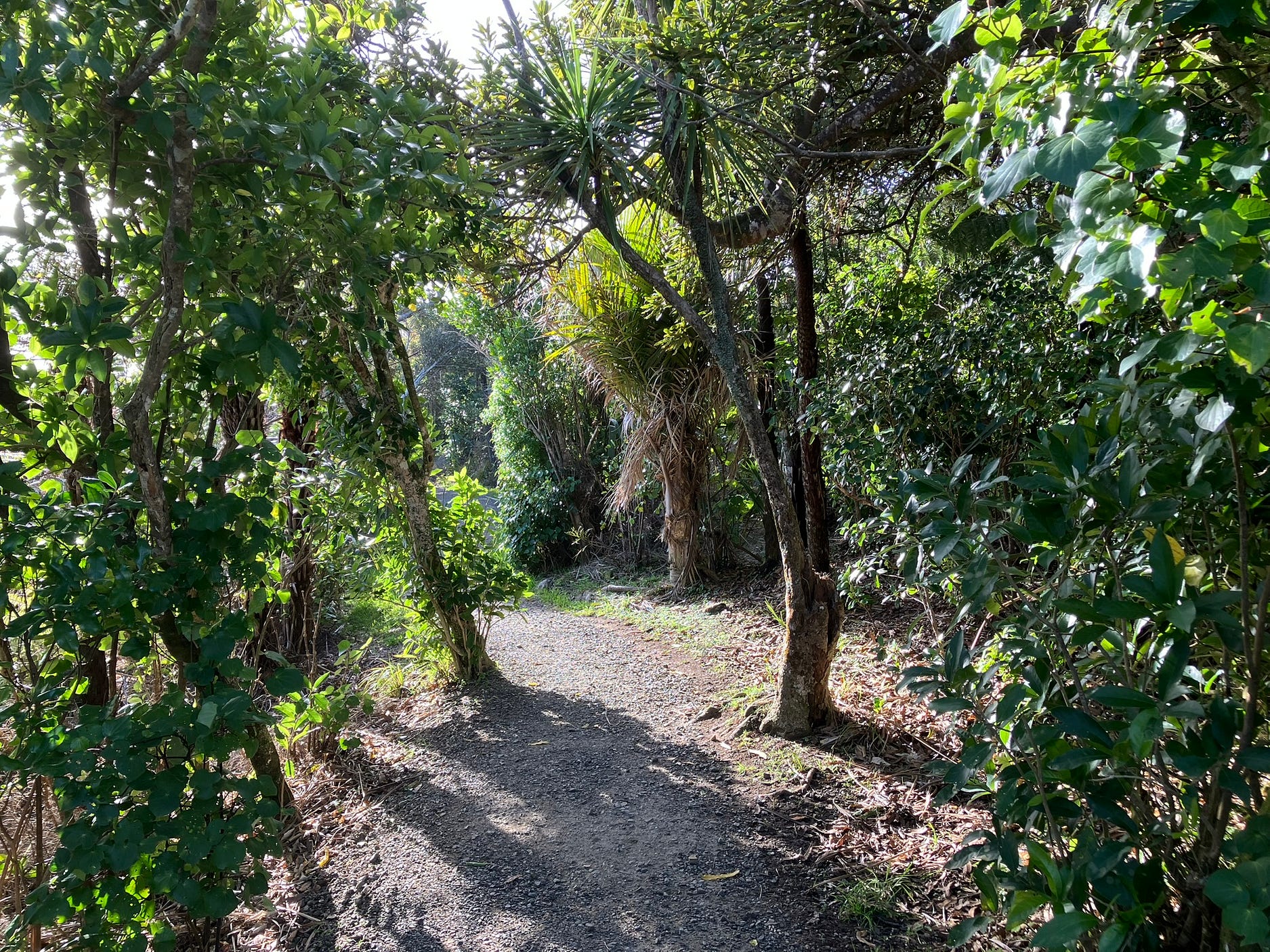
Here’s what the track is like on one of its forested sections.
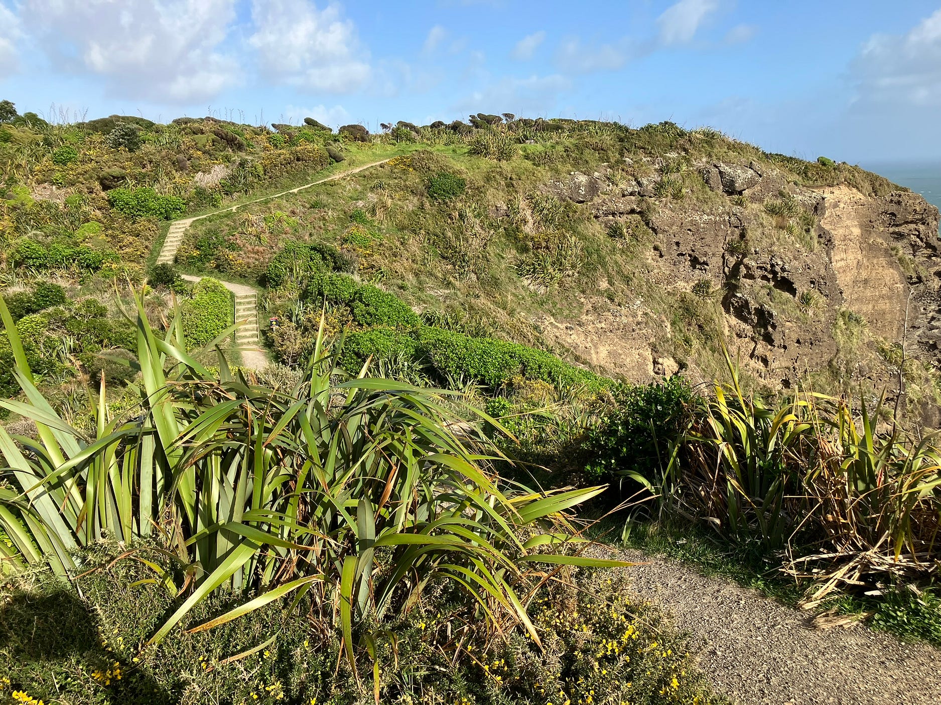
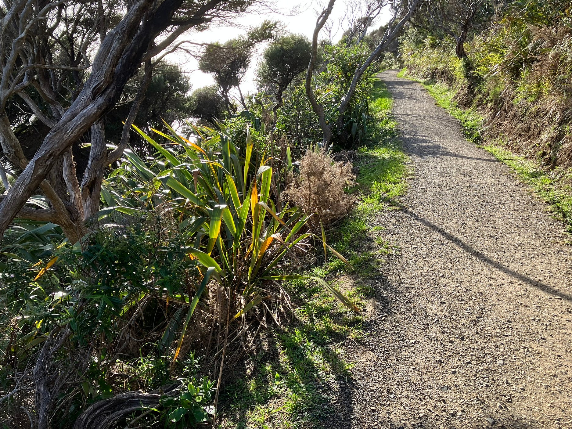
And on a boardwalked section between lookouts, hard-assaulted by sea gales.
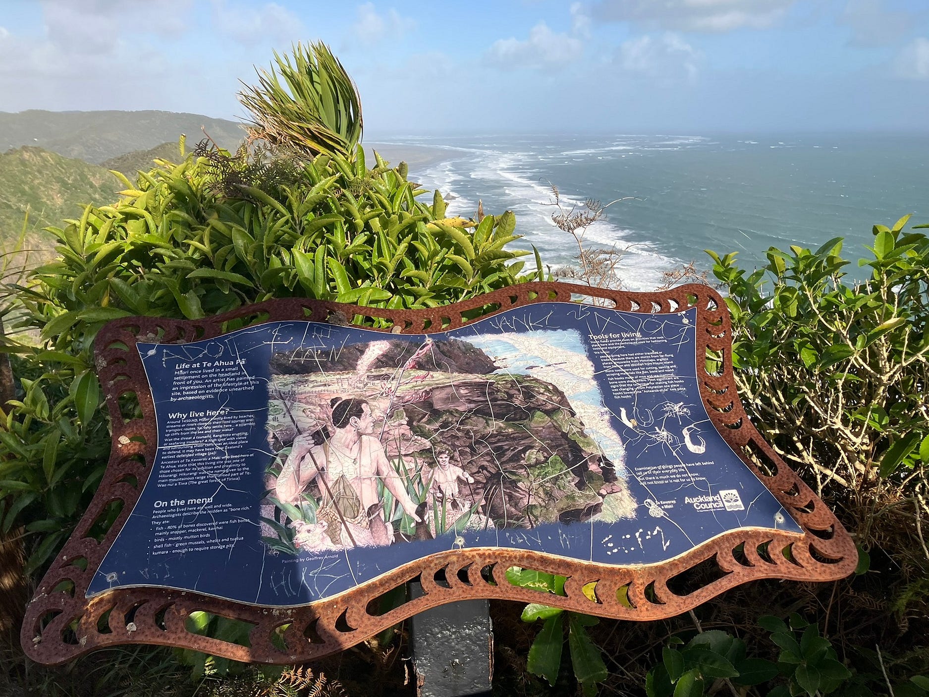
Here’s an interpretive plaque about the area’s significance to old-time Māori, who at one time had a village, Te Ahua Pā, on the flat area atop Te Ahua Point.
Here is another photo of a section of the path that runs through the forest. It can be a relief to get to these if the day is very windy. Life at Te Ahua Pā must have been bracing!
The low winter sun, which makes for the best photographs, was lighting up the plants from behind.
And here is a video of some scenes thus far, including some people making their way along the boardwalked path at the top of Te Ahua Point. You can see two or three of them in the thumbnail. But you have to look hard, as they are tiny compared to the cliffs.
Near the carpark, walking northward in the officially recommended clockwise direction on the loop, you come to a couple of spots where seats have been provided for people to sit and look out to sea.
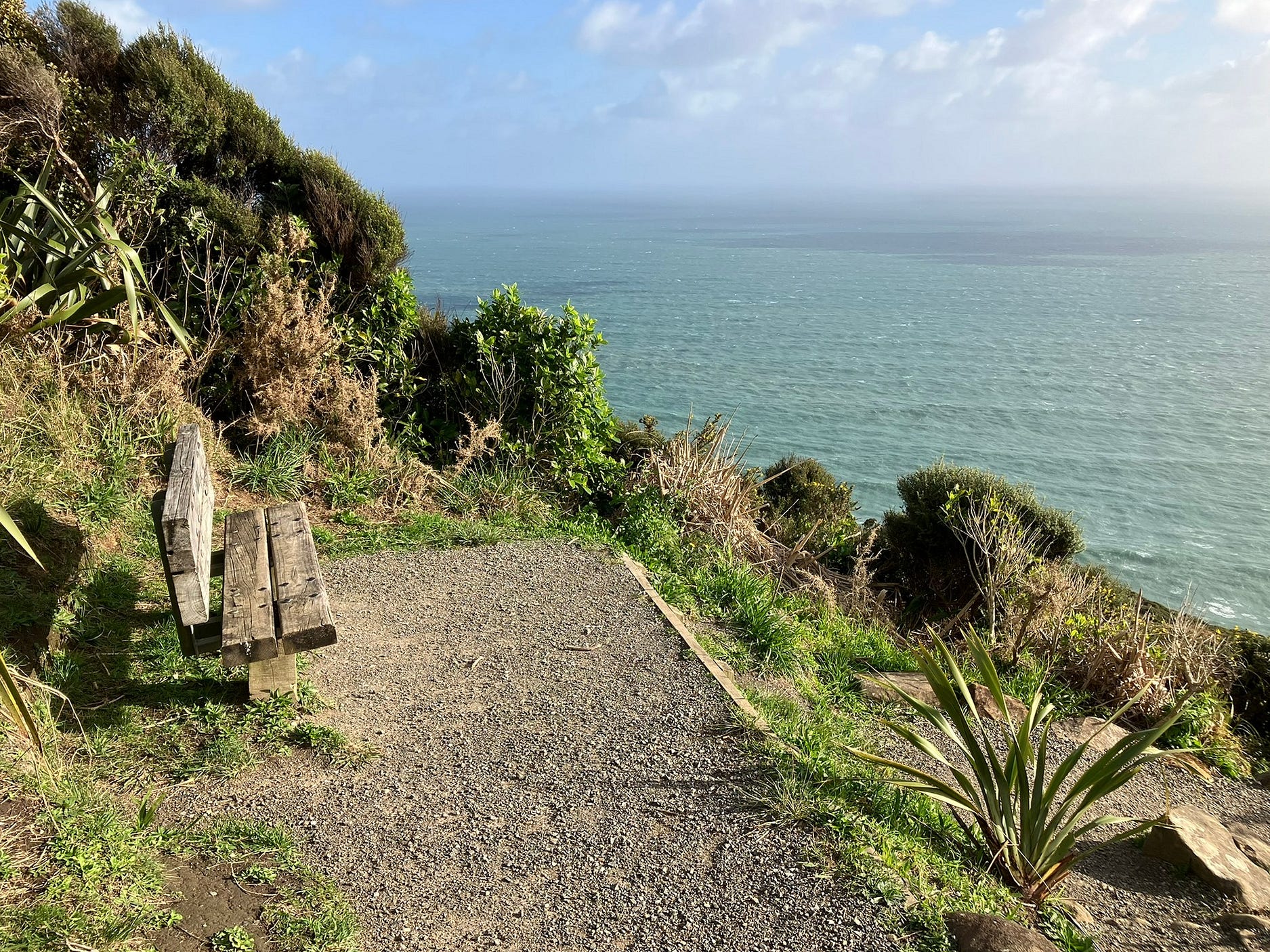
These seats must be especially useful on the way back if the walk has made people tired, I would imagine.
The next photo shows a northward view between the two seats.
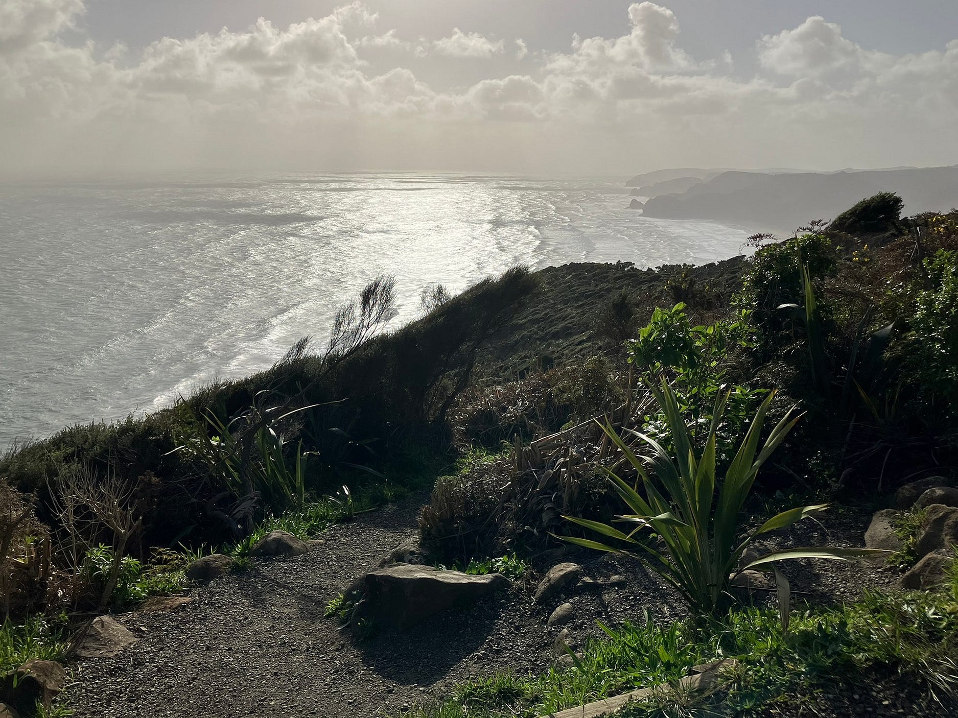
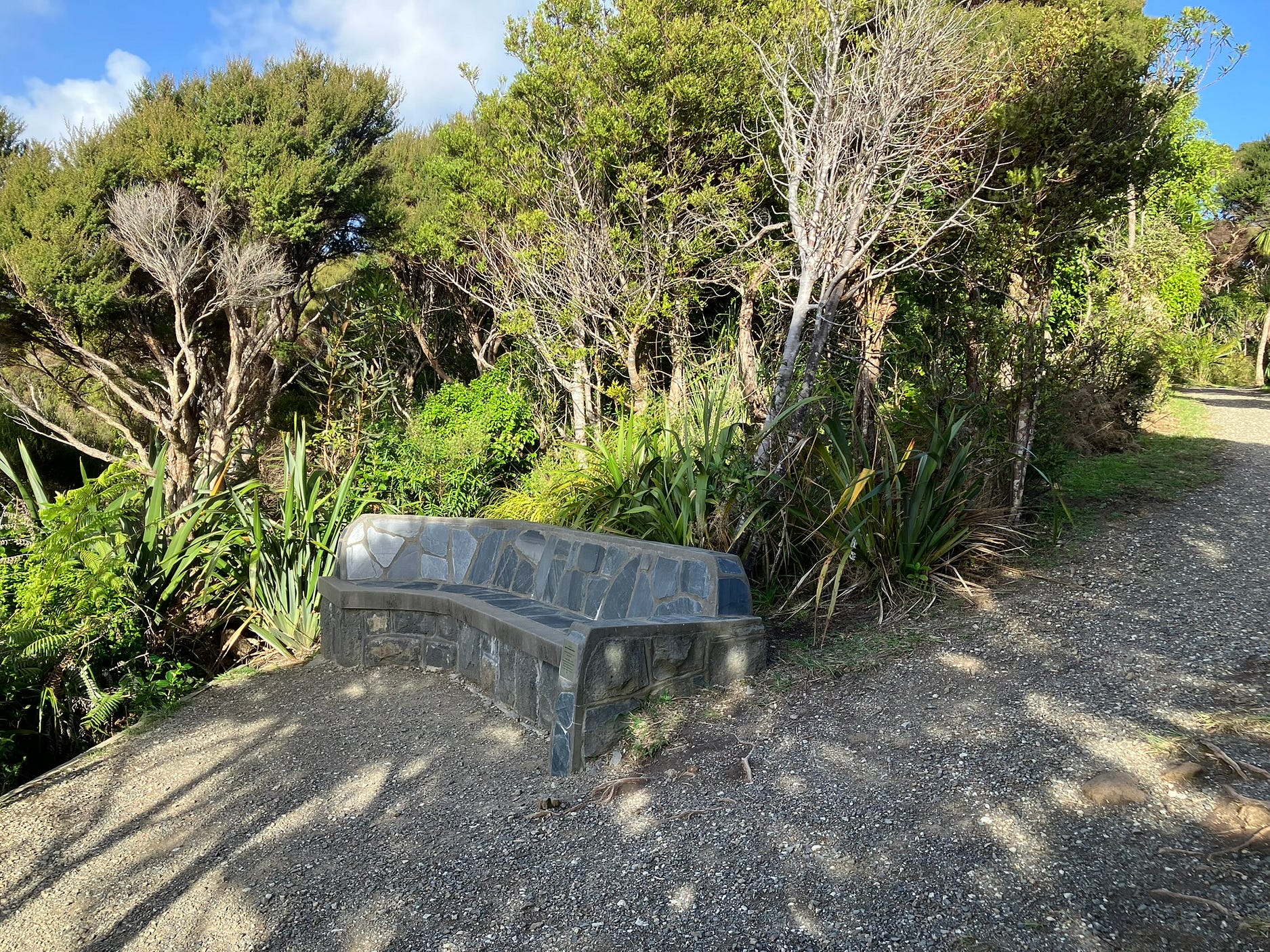
The second seat is made of concrete. This is just before the carpark.
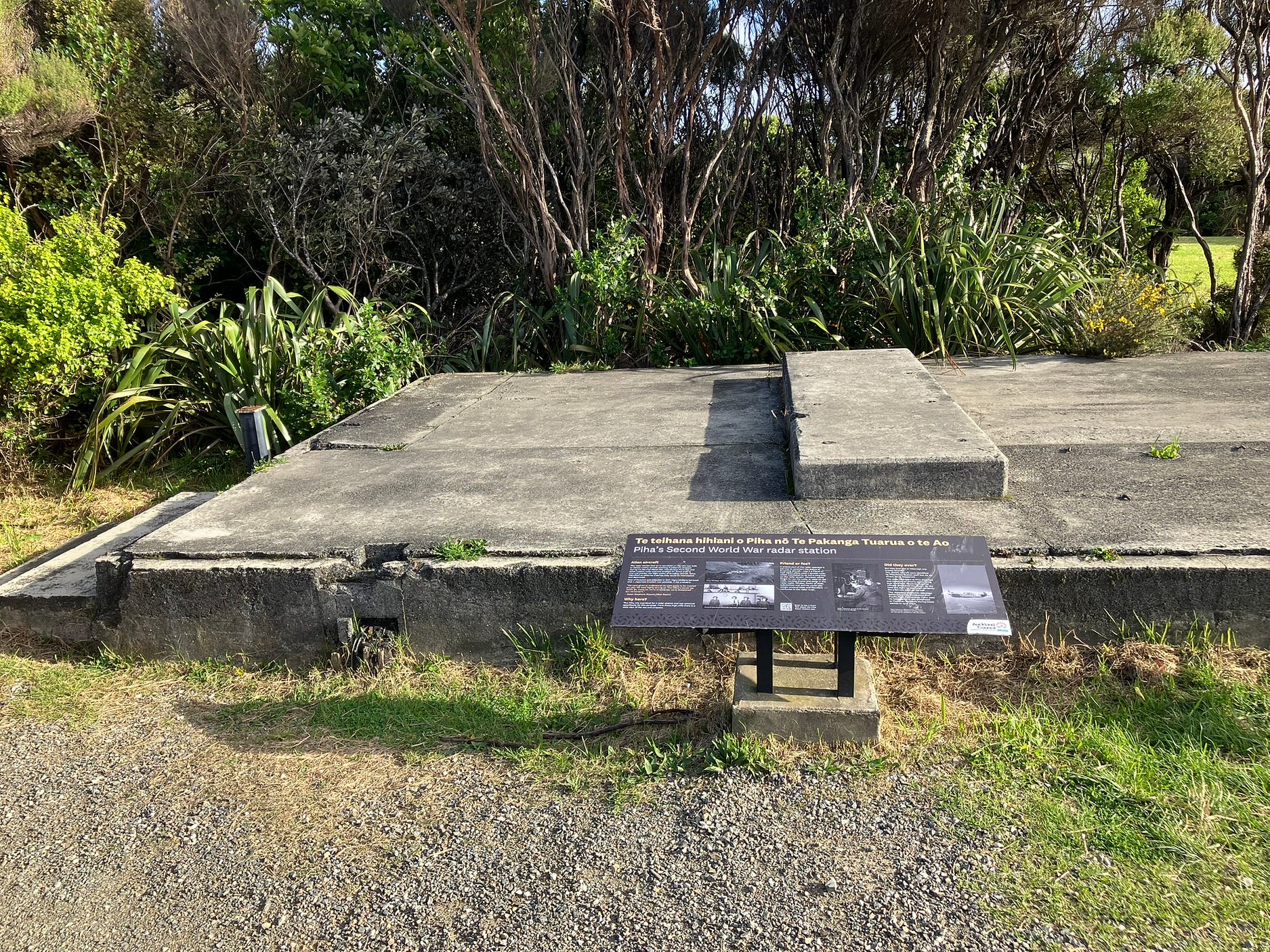
The carpark, located at the end of Log Race Road, is more than just a carpark. For one thing, it is at the top of another high cliff, 270 meters above the sea. A marine beacon and a modern-day communications tower both take advantage of this location.
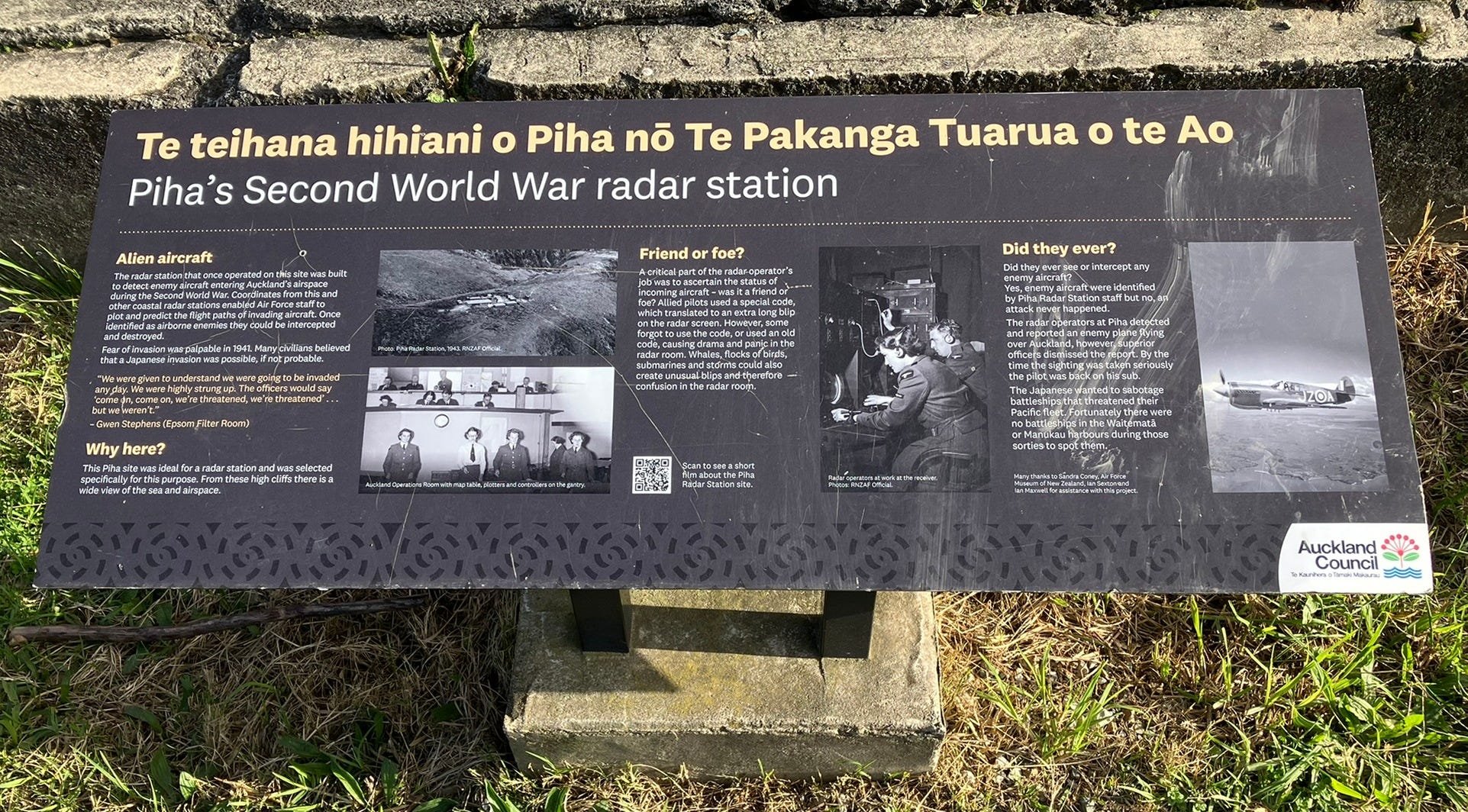
More interestingly, the same site hosts the crumbling remains of a World War II radar station, the Piha Radar Station, named after the beach community of Piha in the next bay to the north.
The next photo shows a close-up of the interpretive plaque in front of those foundations.
There’s a good 2015 YouTube video about the radar station, presented by local historian, politician, and activist, Sandra Coney, whose list of publications includes a 2013 book about the station called On the Radar.
(PS — Spot the sign saying ‘Hillary Trail’ at 2:53.)
Omitted from the video, though honoured in the information panels that may have been installed later, is the fact that the station was also the site of some important measurements made during the early days of radio astronomy by John Bolton, a British radar expert who had been posted to the Pacific in World War II and decided to make a new life in Australia after 1945, and the New Zealander Gordon Stanley.
Using a technique developed by Australia’s CSIRO called sea interferometry, which allowed the location of sources of radio waves to be pinpointed with radar-like accuracy even when those radio waves were being received in a purely passive sense, the pair took separate readings, from high points overlooking the sea on opposite sides of the Tasman, to try and pin down the location of some of the sources of cosmic radio emissions in the sky.
Sources that had been picked up on early radio equipment, and were powerful enough to account for some of the hiss between stations.
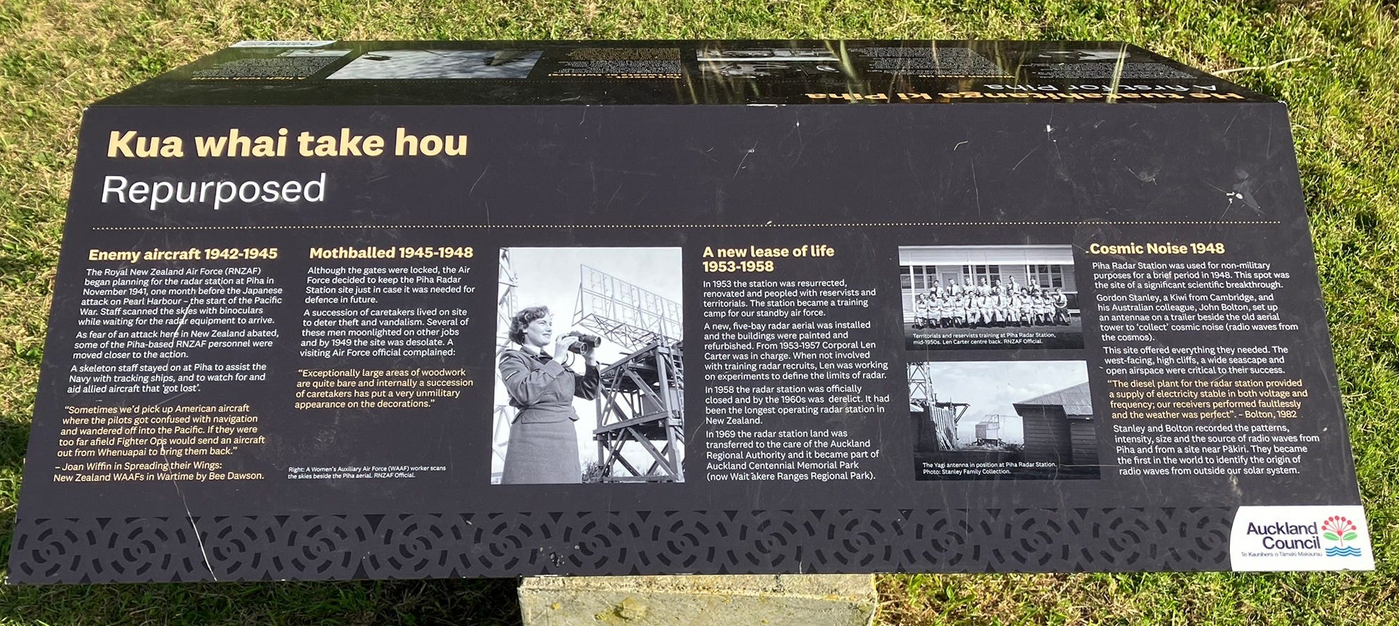
Bolton and Stanley’s measurements, several times more precise than any made before, showed that some of the most powerful sources of cosmic radio waves appeared very small, almost point-like, from Earth.
This then led to the question of how objects, so point-like that Bolton and Stanley called them ‘radio stars,’ could be showering us with enough energy to interfere with radios on Earth.
And that in turn triggered the search for compact sources of energy that could be powering these sources, such as black holes and neutron stars.
For more on the Bolton and Stanley experiments, you might want to check out two posts on the local piha.co.nz website called ‘On the trail of “cosmic noise” at Piha,’ and ‘Commemorative plaque of radio stars unveiled,’ and, on the same website, the PDF of a slightly more technical article called ‘John Bolton, Discrete Sources, and the New Zealand Field Trip of 1948.’
Both Bolton and Stanley subsequently joined the brain drain, obtaining distinguished positions at the California Institute of Technology (Caltech), where they set up and ran the Owens Valley Radio Observatory (OVRO).
Stanley served as the chief administrator of OVRO from 1961 to 1975, though it seems he was to be all but forgotten in his own country as a result, only to be remembered much later thanks to renewed interest in the Piha Radar Station.
Next week, I may return to blogging about my recent overseas trip.
Subscribe to our mailing list to receive free giveaways!

