Giveaways
LOCATED just a 30-minute drive west from downtown Auckland, in the Waitākere Ranges Regional Park, the Hillary Trail is one of Auckland’s best-kept secrets. It’s too well-kept a secret, really, as many Aucklanders have yet to experience it. Like me, they may take a long time to find it. Some Aucklanders, however, like the fact that it is a semi-secret.
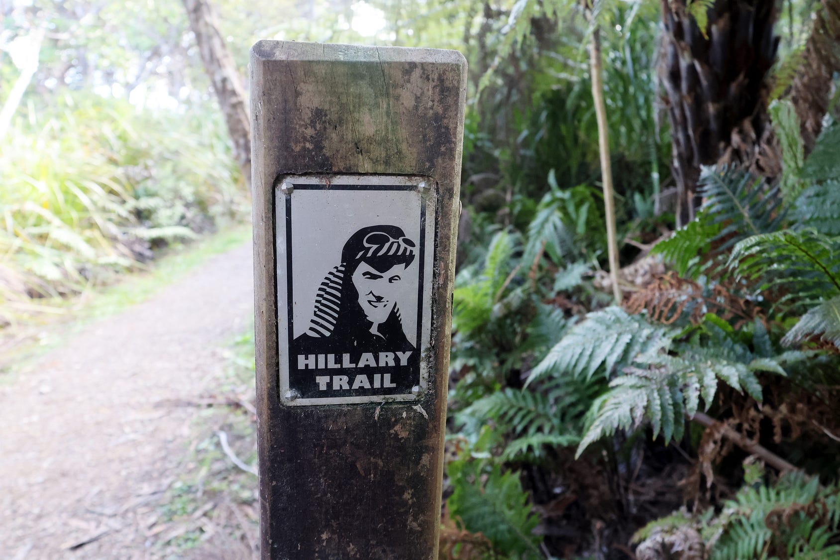
Originally named after New Zealand’s most famous mountaineer, Sir Edmund Hillary (depicted on the marker), the trail has also gained a Māori name, Te Ara Tūhura, meaning the path of discovery. It takes you along wild coastline, past countless waterfalls, and through ancient bush.
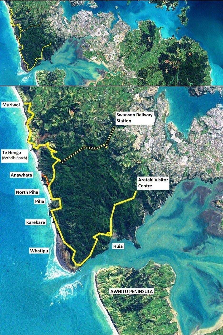
Because of the kauri dieback disease, which was killing many kauri in the North Island, and because of storm damage as well, much of the Hillary Trail was closed for years.
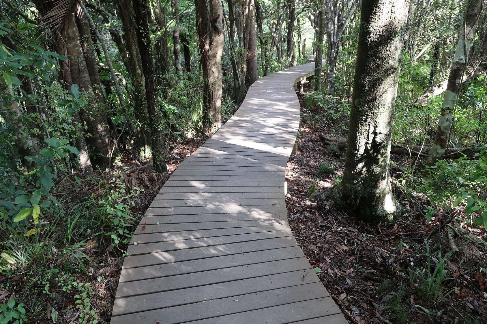
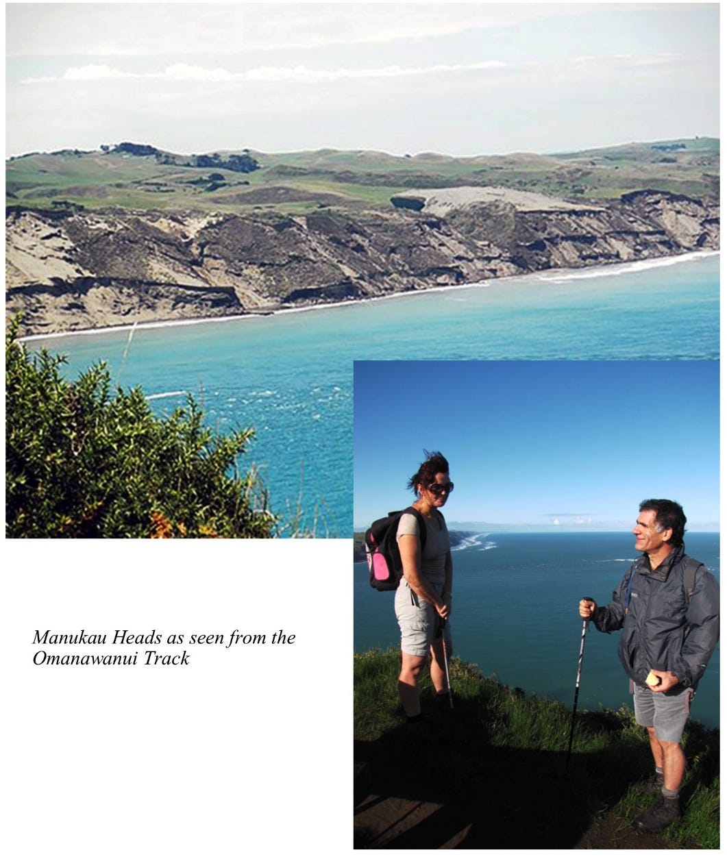
As a result, the trail is currently not advertised or publicised as such. Even so, many sections of the trail, such as the Ōmanawanui Track near its southern end, have reopened. The reopened sections often have extensive boardwalks to prevent contamination and damage to kauri roots.
Several roads into the bush begin at the Titirangi Roundabout.
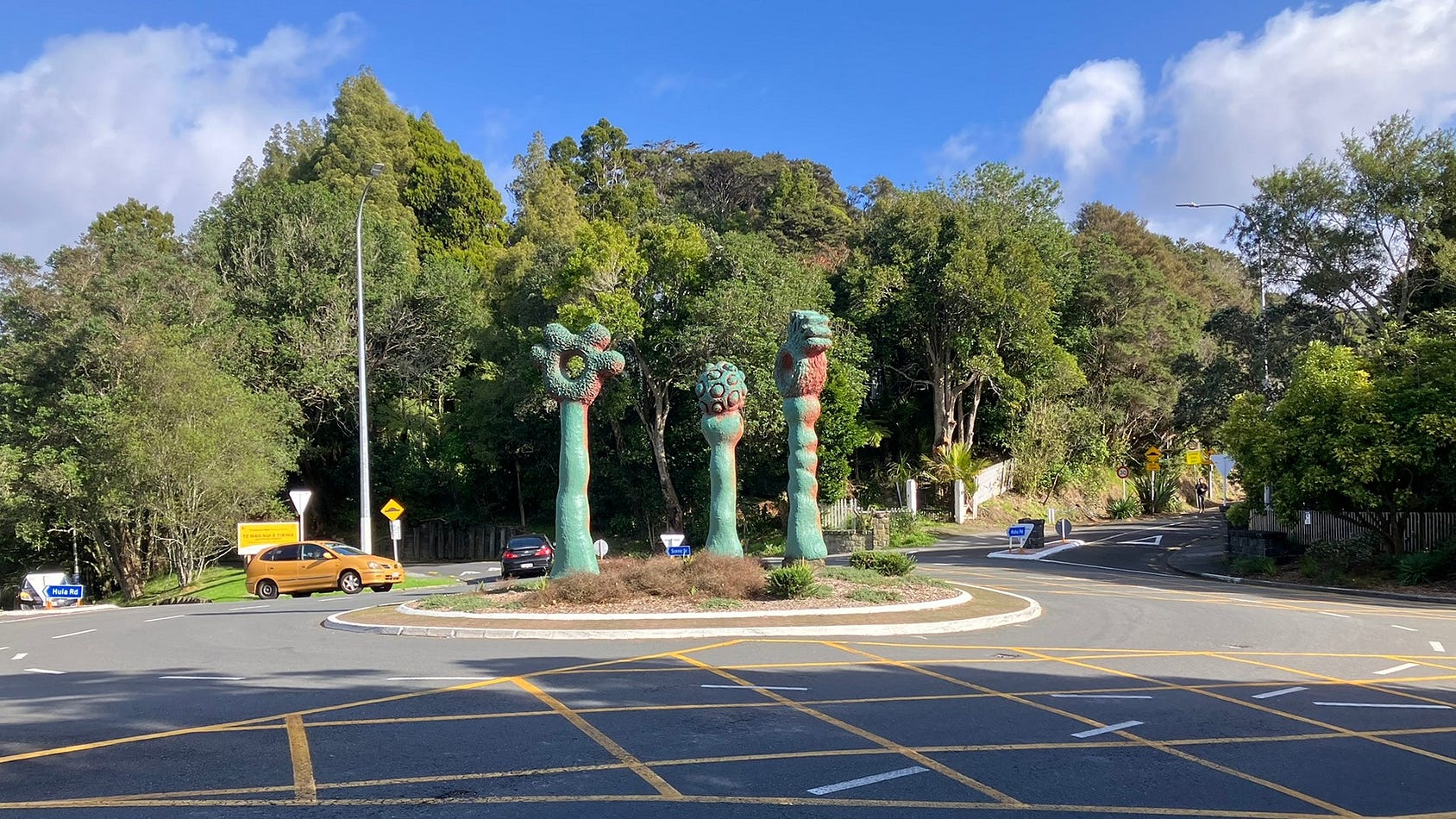
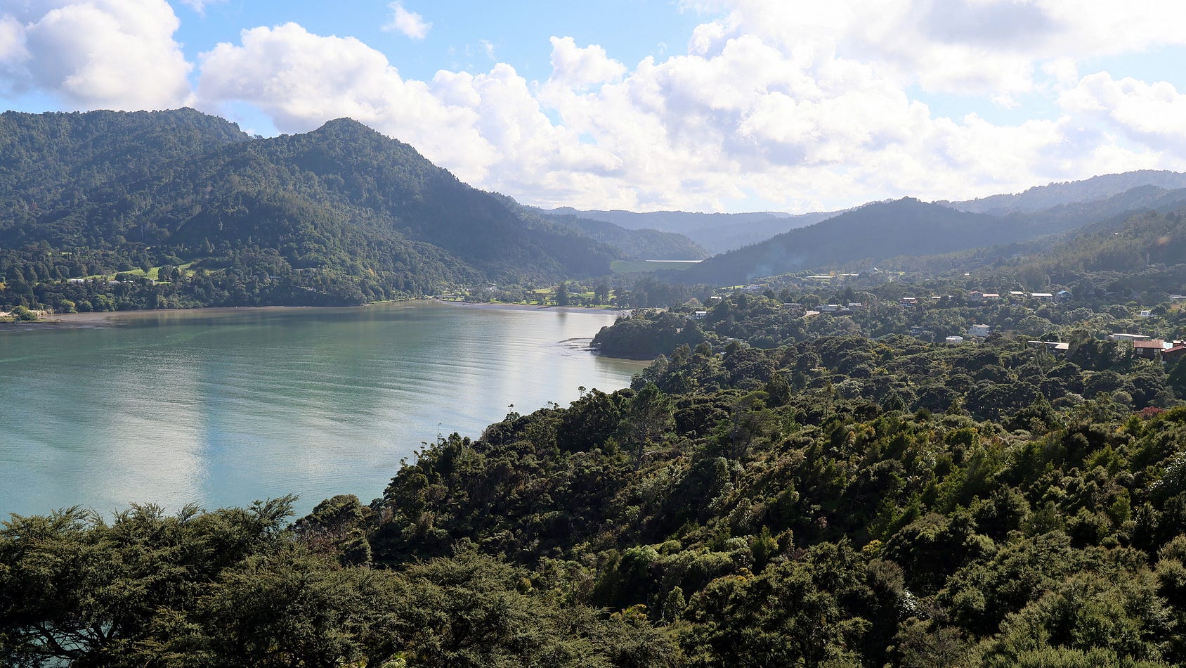
On the edge of the city, Titirangi is already well into the primordial rainforest of the west coast, with glimpses of the Manukau Harbour and its heads to be seen from some of the cafes in buildings in the Titirangi village, buildings such as Lopdell House, an Art Deco structure that opened in 1930 as the Hotel Titirangi, and eventually became an arts centre.
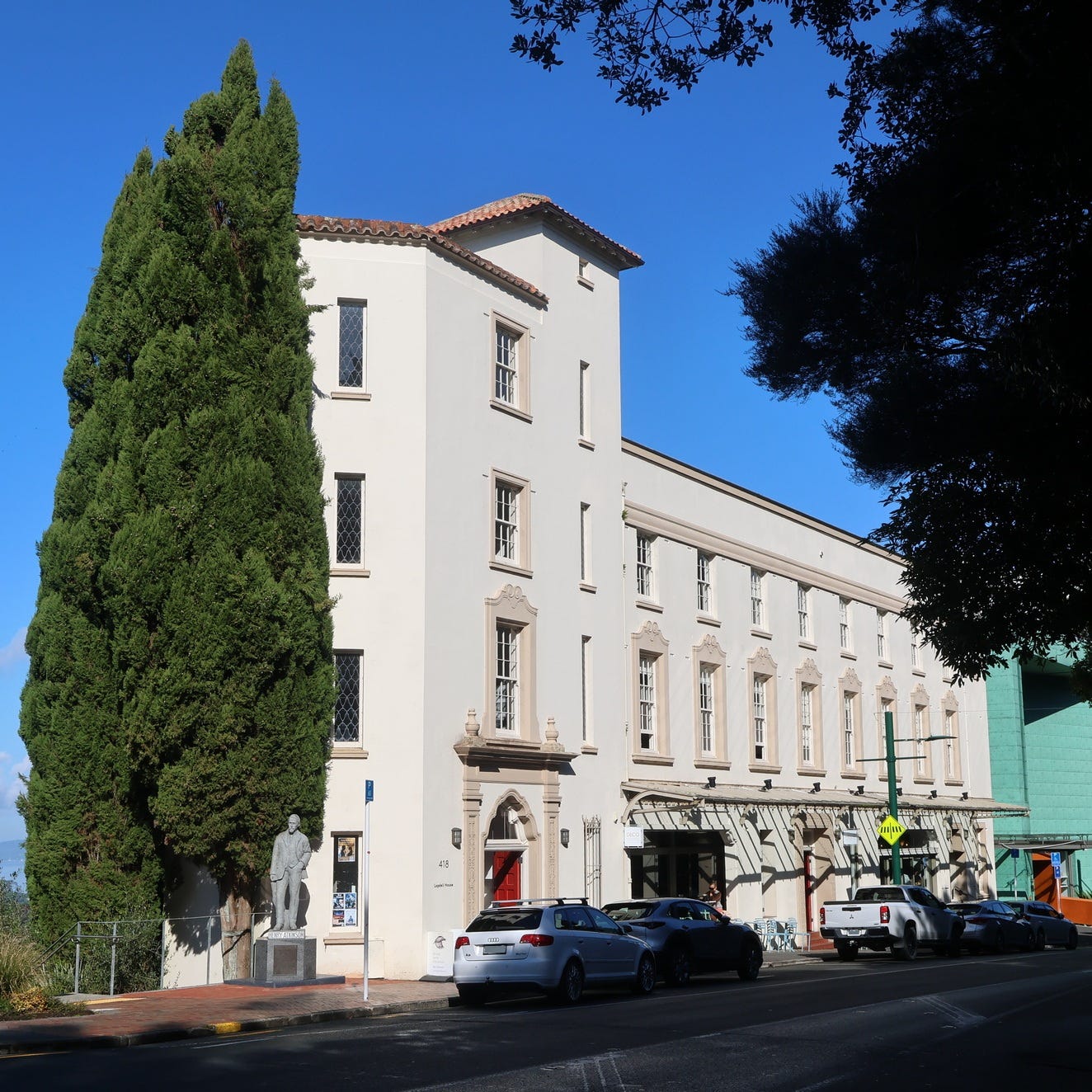
In front of Lopdell House is a statue of a noted early Auckland environmentalist and water engineer, Henry Atkinson. Atkinson acquired much of the wilderness west of Auckland on his own account, while laying out grand public waterworks in the same area, and then donated the surplus bush to Auckland for conservation purposes.
Up a steep hill and never served by tram in the days when most people used trams to get around, Titirangi was once a notable artists’ retreat — a bit like Heidelberg in Melbourne, for instance — and still has some of that vibe, as well as several rather Bohemian cafés, grand scenic views of the Manukau Harbour and a feeling of being on the edge of the bush: altogether, an ideal place to begin a nature ramble.
Titirangi is well worth stopping in for a cup of coffee before you start hiking at any one of several places that you can easily get to from Titirangi, such as Huia, the Karamatura Valley carpark, or Whatipū. There are also places to start hiking further north, though you would probably not drive through Titirangi to get to them.
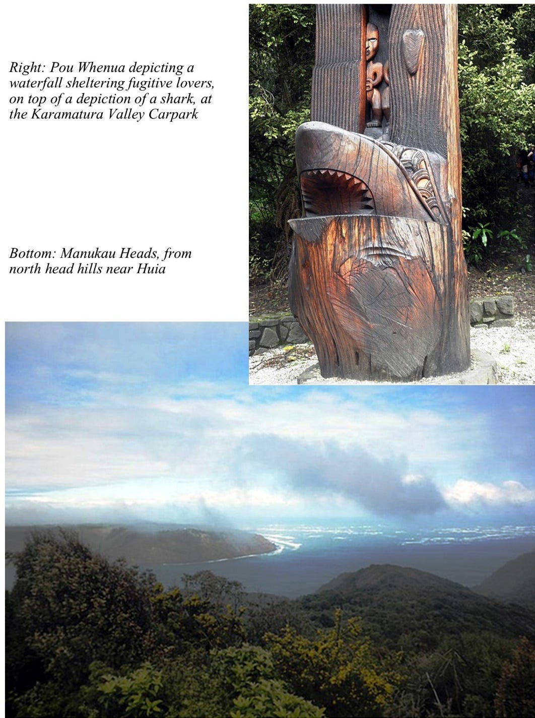
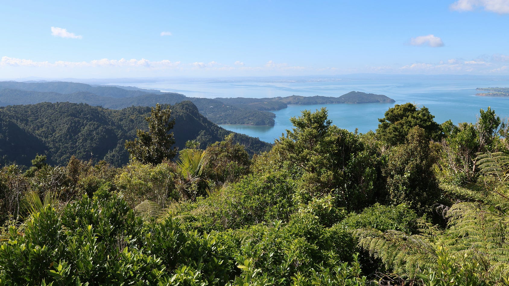
If you’ve seen the Victorian period drama The Piano, starring Holly Hunter, Anna Paquin, and Harvey Keitel, this is the very area where most of it was filmed, and set. Auckland’s wild west, battered by sea winds and spray from the Tasman Sea and dominated by hills and dunes covered in tough, leathery plants, is less touristy but at the same time more primeval than the east coast of the Auckland region, which is quite sheltered and faces the Pacific.
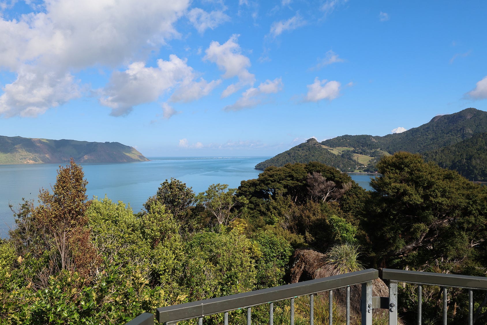
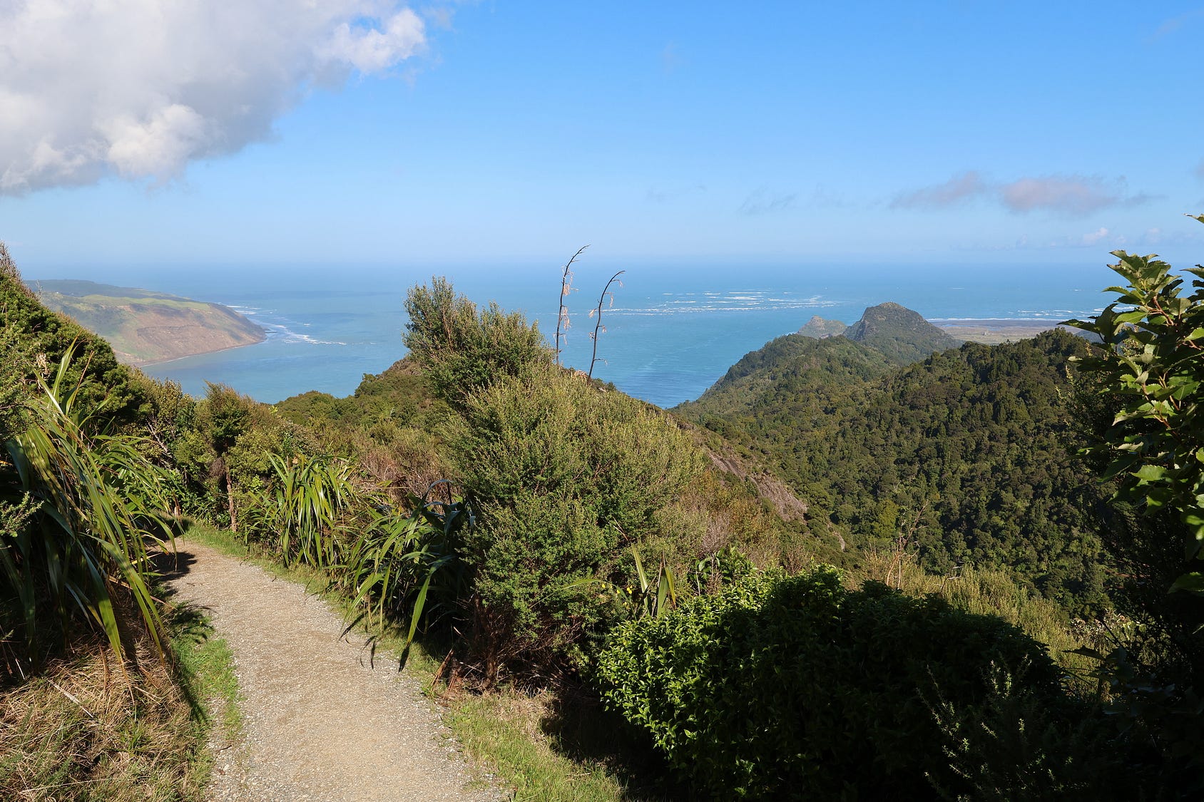
There are, indeed, few places so primordial and yet so close to a big city!
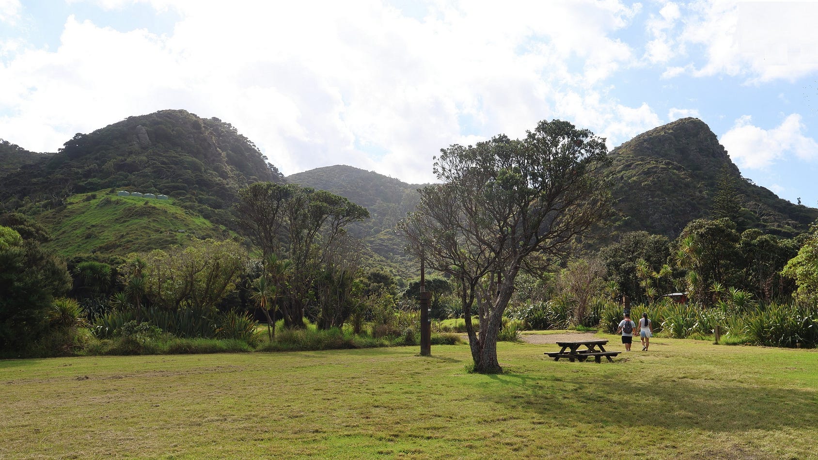
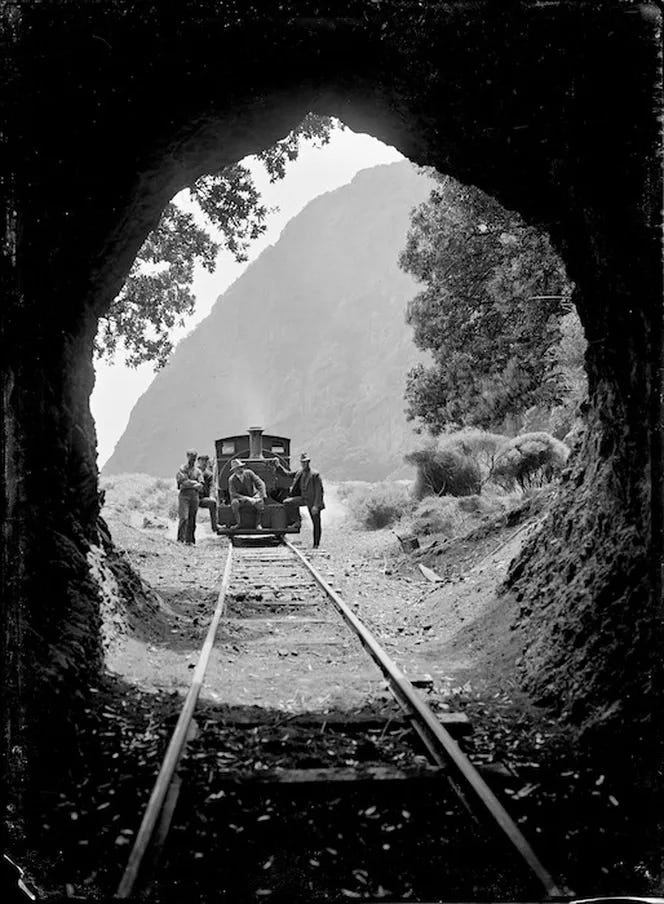
Just north of Whatipū, near Karekare, there is an old logging tramway tunnel, still much as it was when the following photo was taken.
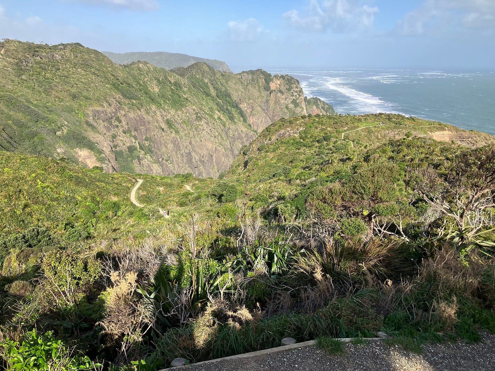
The next three photos were taken on the Mercer Bay Loop Track, nearer to Piha. You can see the track winding precipitously over clifftops.
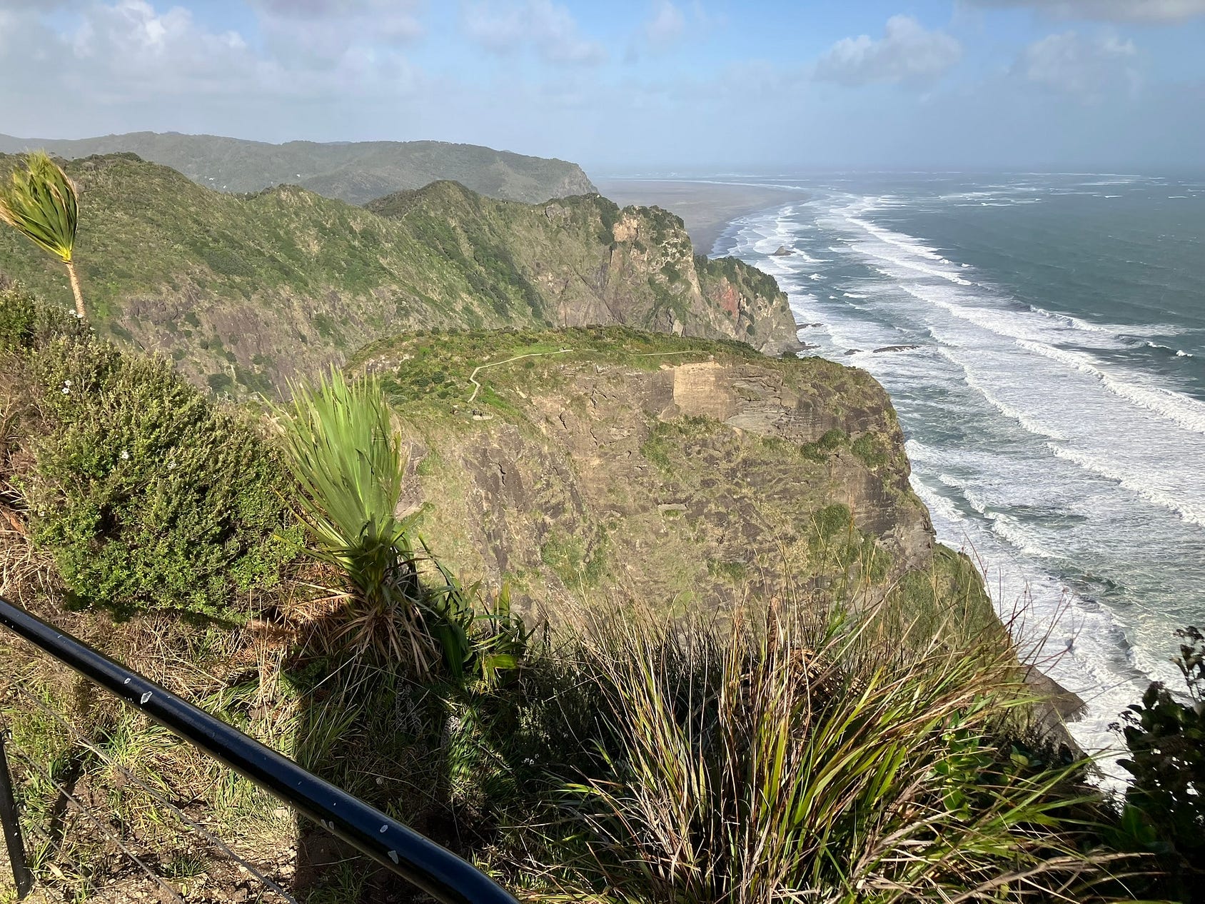
The next photo shows a similar view, but with a better glimpse of the great sandy expanse of Whatipū in the background.
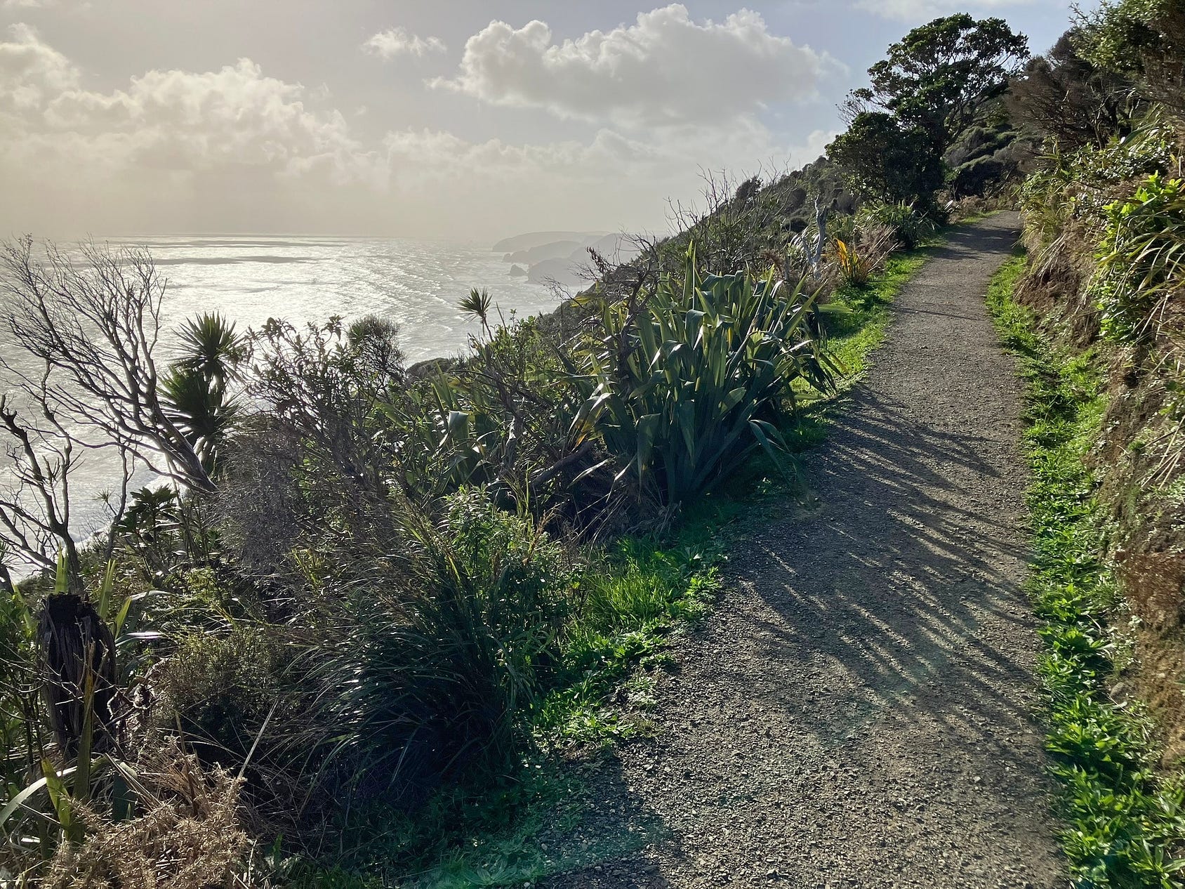
And looking northward, near the northern end of the track, with a westering sun.
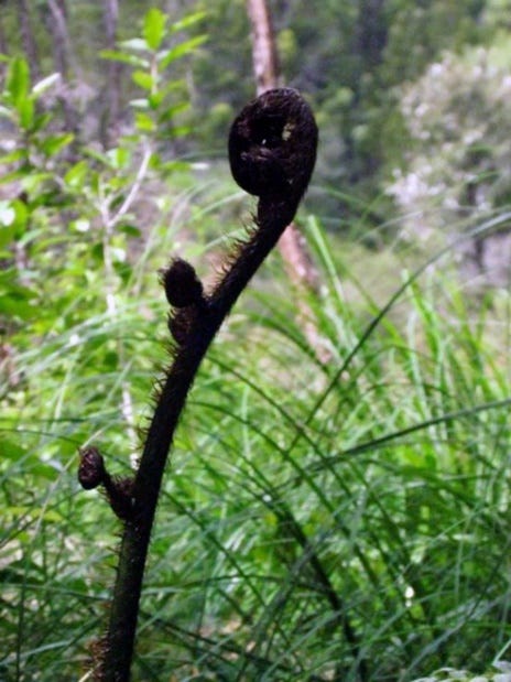
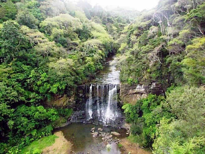
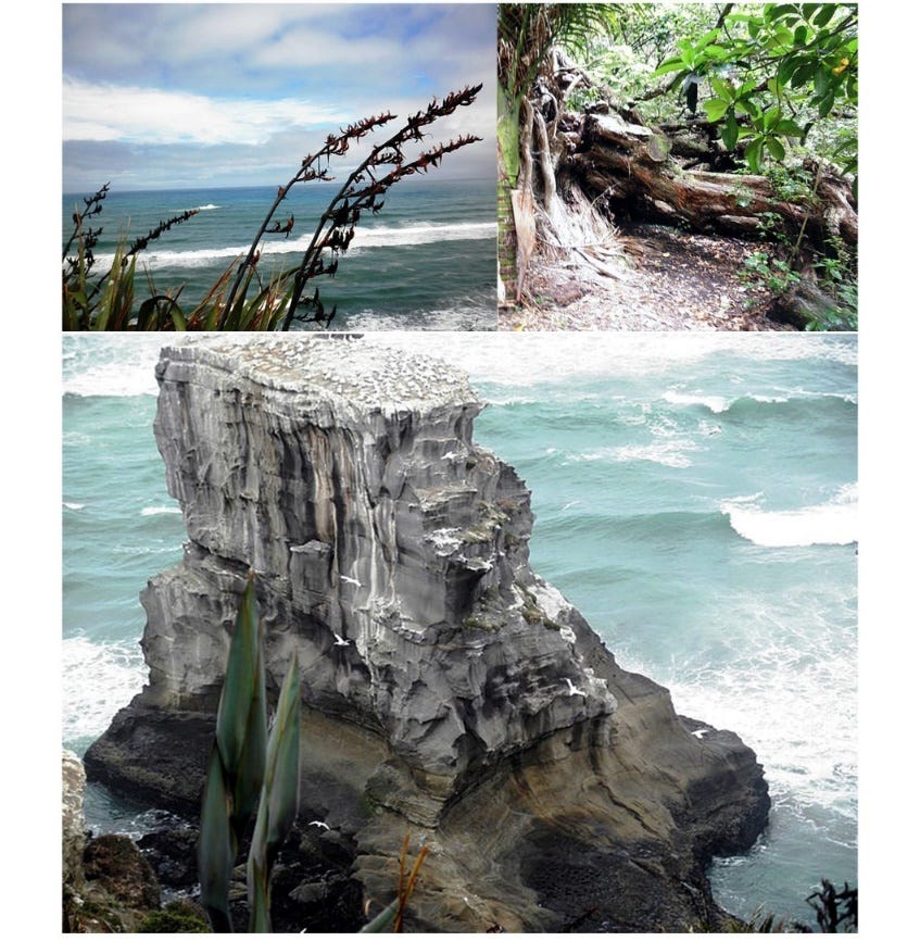
The following photographs were taken by a talented photographer with whom I’ve enjoyed several hikes, Nicki Botica Williams. The photographs are in a generally South-to-North order, starting at Whatipū and ending at Muriwai. I don’t have them in big file sizes, so they are all quite small here.
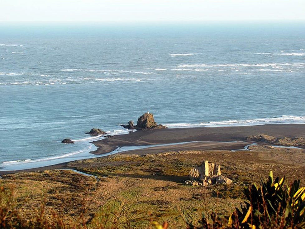
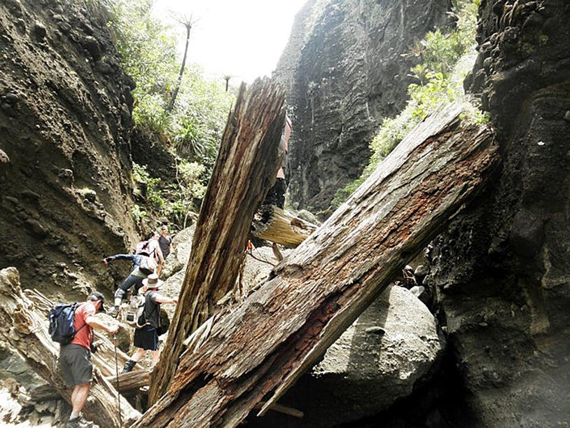
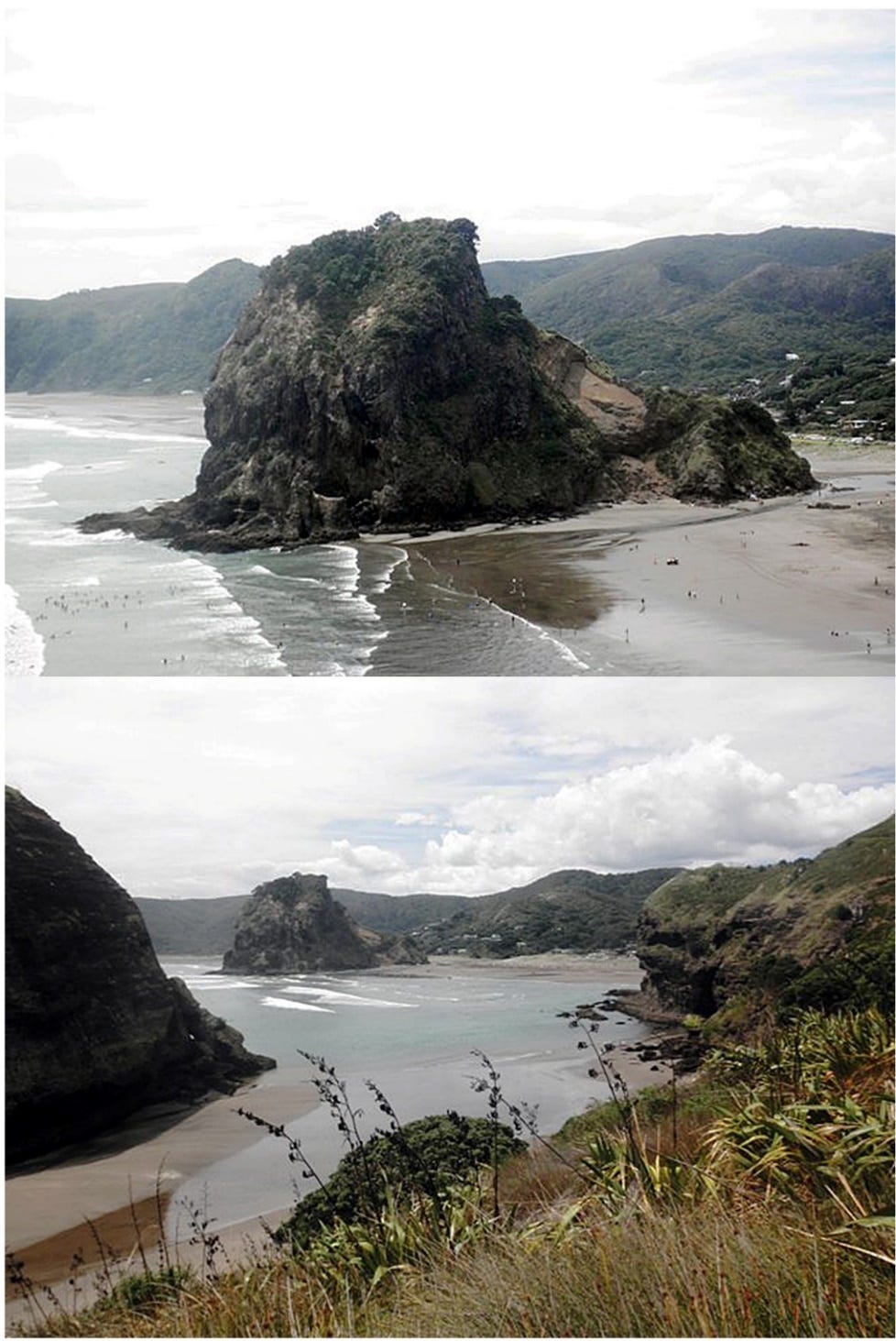
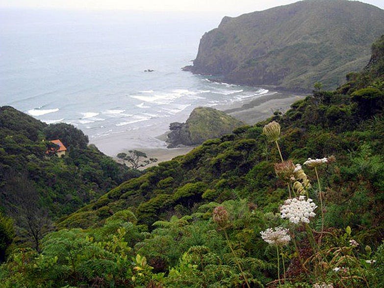
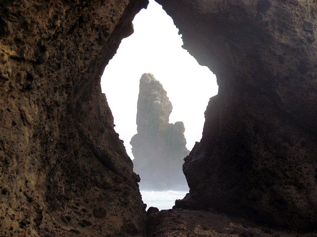
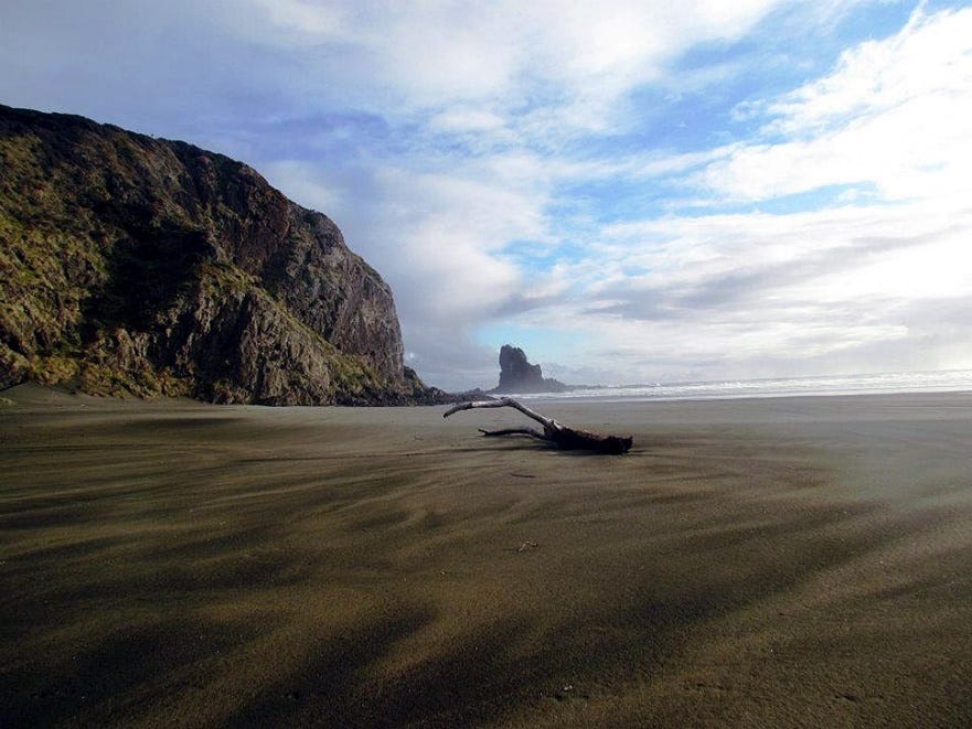
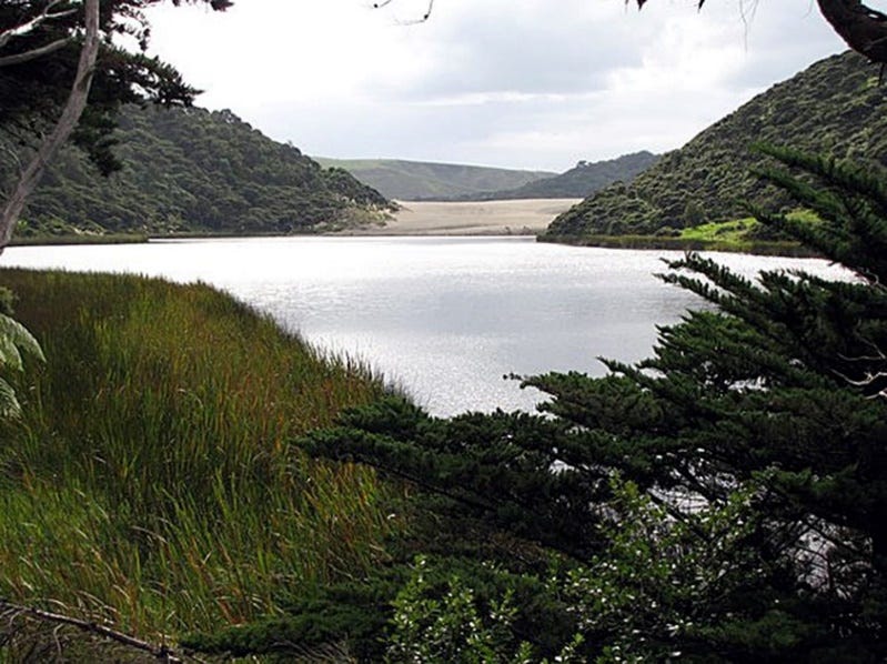
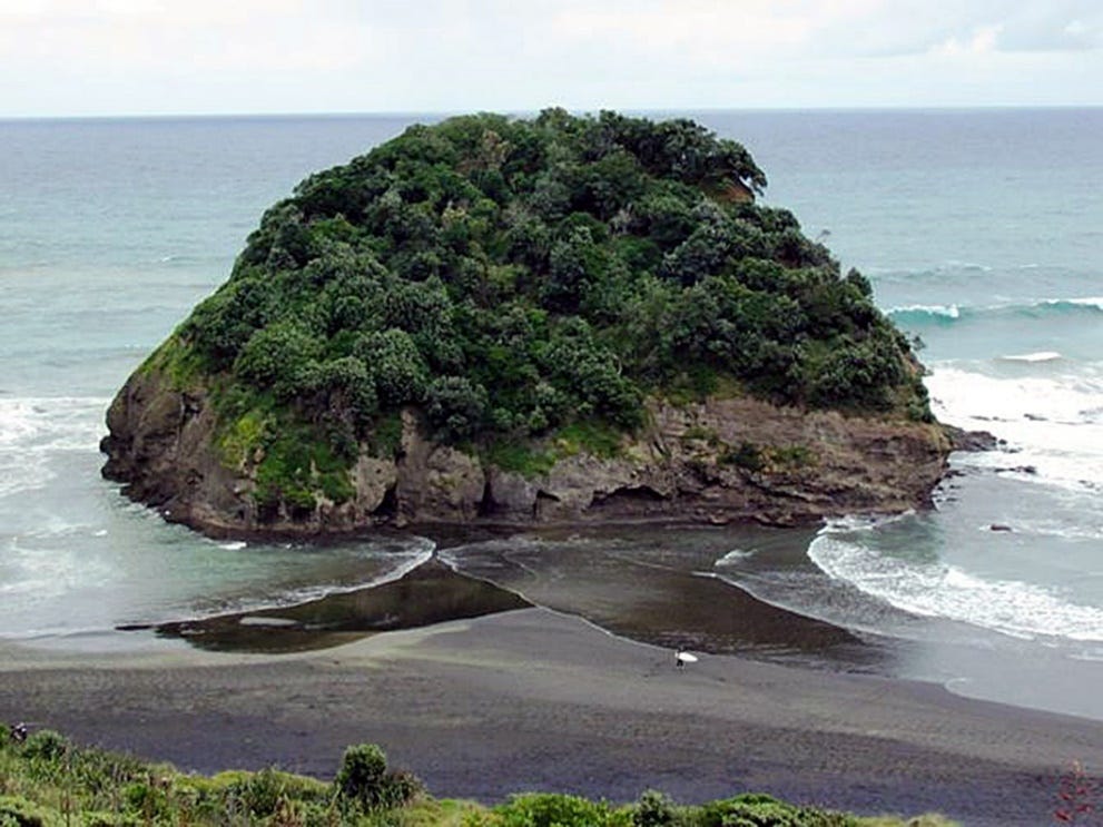
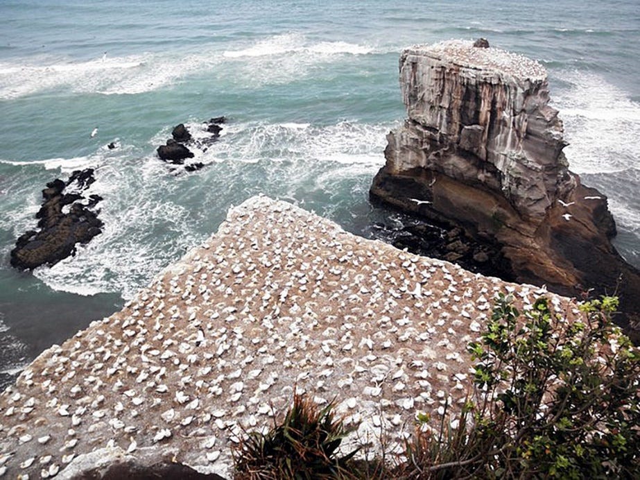
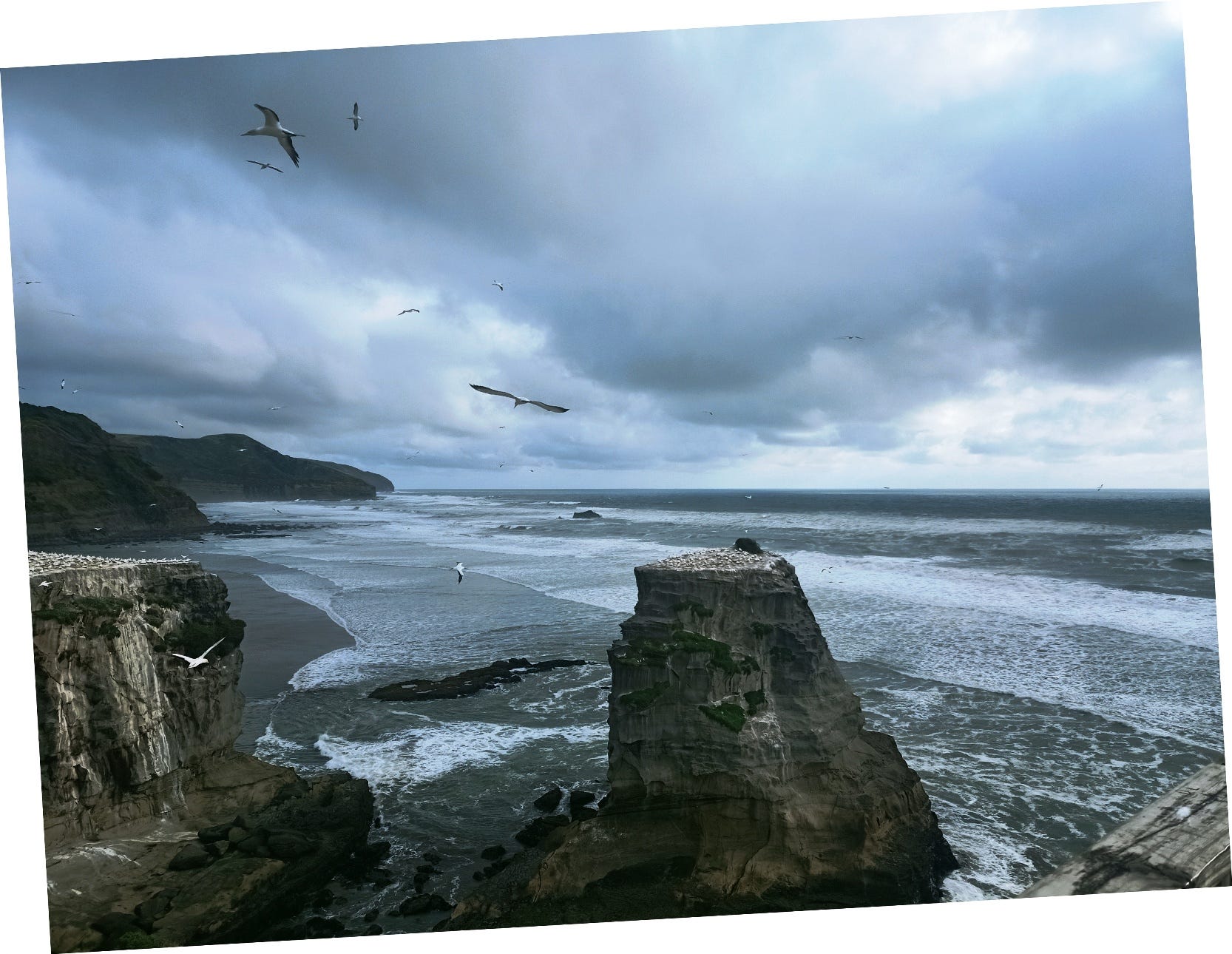
The next photo is one that I took at Muriwai myself.
Unfortunately, because of track closures, it may not currently be possible to visit every spot mentioned above, mapped above, or shown in the photos above.
For more on which trails are open or closed and how to prevent the spread of kauri dieback, visit the Waitākere Ranges Regional Park webpage.
If you are present locally, you can also visit the park rangers at Arataki Visitor Centre, or call them on 09–817–0077.
For more on Titirangi, see ‘Timespanner visits Titirangi Village,’ 19 June 2010, on the local history blog Timespanner. This link contains some more attractive photographs.
See, also, official information releases from OurAuckland, such as the following:
‘The Waitākere Ranges are calling — three popular tracks reopen out west’ (14 May 2026), and:
Next week, I will complete this update on Auckland’s Western Wilds, with additional photos and YouTube video content.
Subscribe to our mailing list to receive free giveaways!

