Giveaways
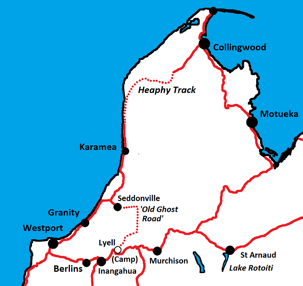
THIS post is about my most recent hike on the Heaphy Track, at the western end, and a new visit to the Ōpārara Basin Arches on the nearby Ōpārara River.
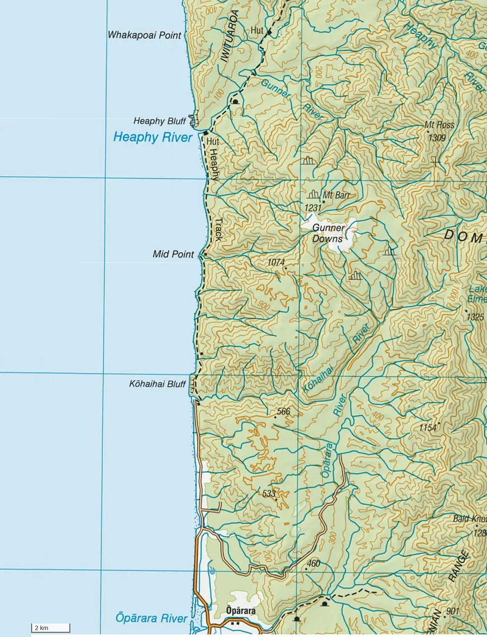
I have tramped the Heaphy Track, one of New Zealand’s Great Walks, several times now.
The Heaphy Track stretches through the Kahurangi National Park at the top of the South Island, west of the famous Abel Tasman Track, and winds its way through native bush and tussock downs to the wild Pacific Ocean on the West Coast.
The Heaphy Track can be walked in either direction, beginning at the eastern end at Brown Hut, or starting in Karamea on the West Coast by driving fifteen kilometres north to the Kōhaihai River campsite.
This July, my friend Grant and I hiked just over sixteen kilometres along the beautiful, yet rugged, coastline of the West Coast from the Kōhaihai River mouth, a lovely five-hour walk to the Heaphy Hut at the mouth of the Heaphy River, after which the track turns inland.
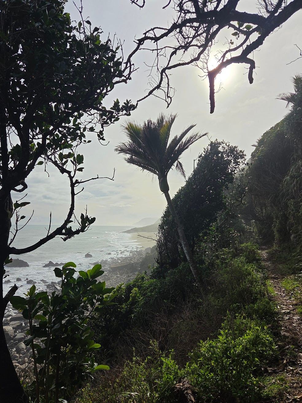
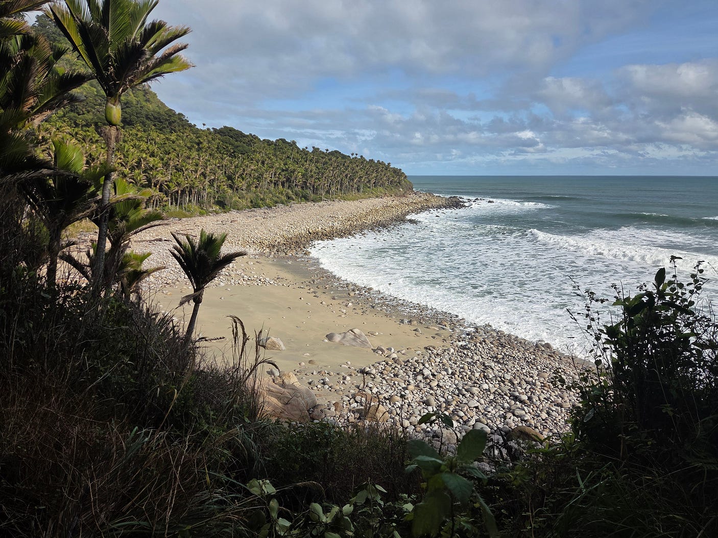
A profusion of nīkau, the world’s most southerly variety of palm tree, growing out of white sand, makes this area resemble part of an island in the South Pacific — but wait, it is part of an island in the South Pacific!
The angle of the South Island means that it’s not just Nelson that’s sheltered from biting Antarctic winds, but much of the West Coast as well. Whence the palm trees, and the comparatively mild winter conditions we encountered on this trip.
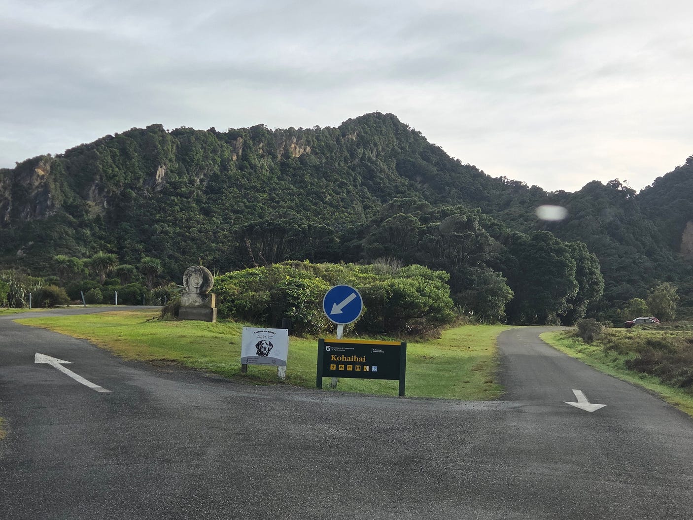
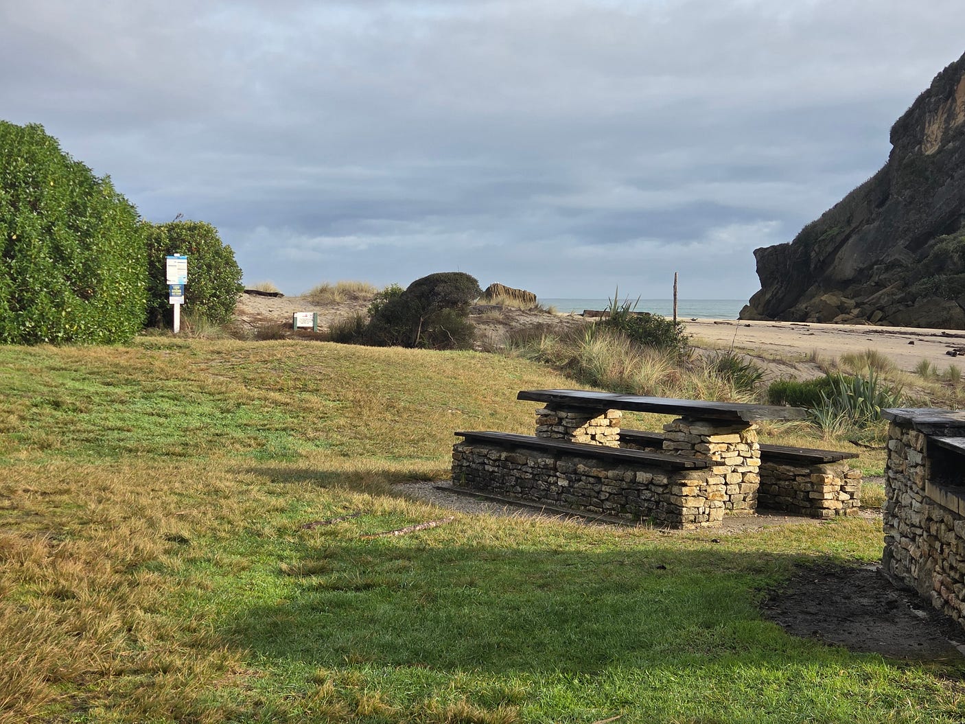
Here’s a video I made at Kōhaihai.
At the campsite, we saw cheeky weka, as you often do at Kiwi campsites in the bush. These sturdy, flightless birds are as curious about what humans might be up to as the kea, and quite fearless in their pursuit of crumbs and leftovers or, better still, backpacks left unattended with the flaps open.
Then we embarked on the track.
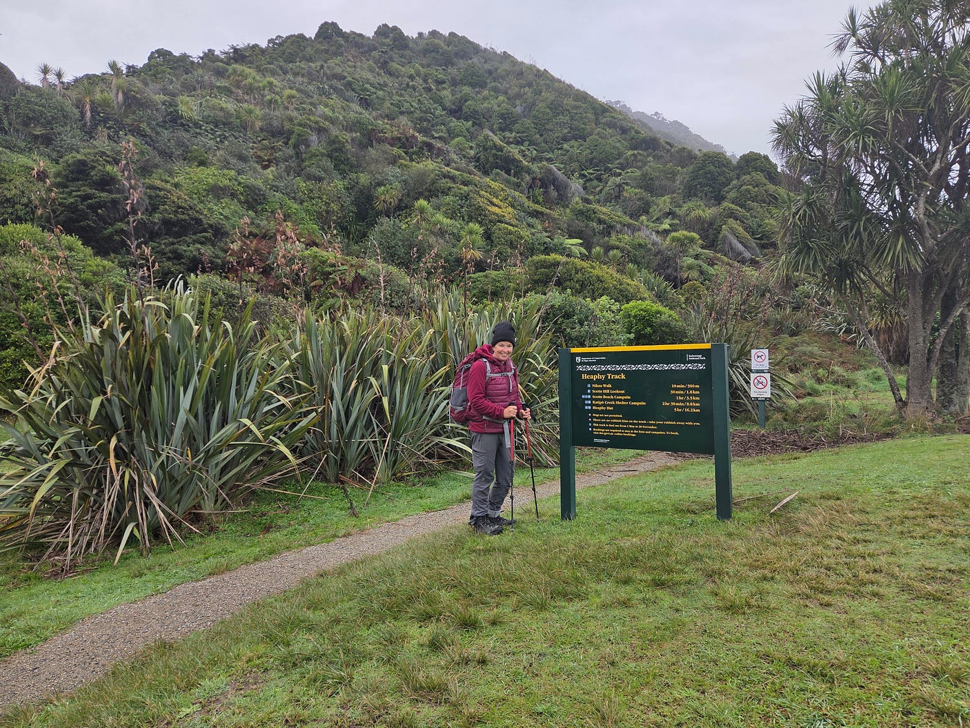
The track goes over the Kōhaihai River and inland past Kōhaihai Bluff, and then back onto the beach.
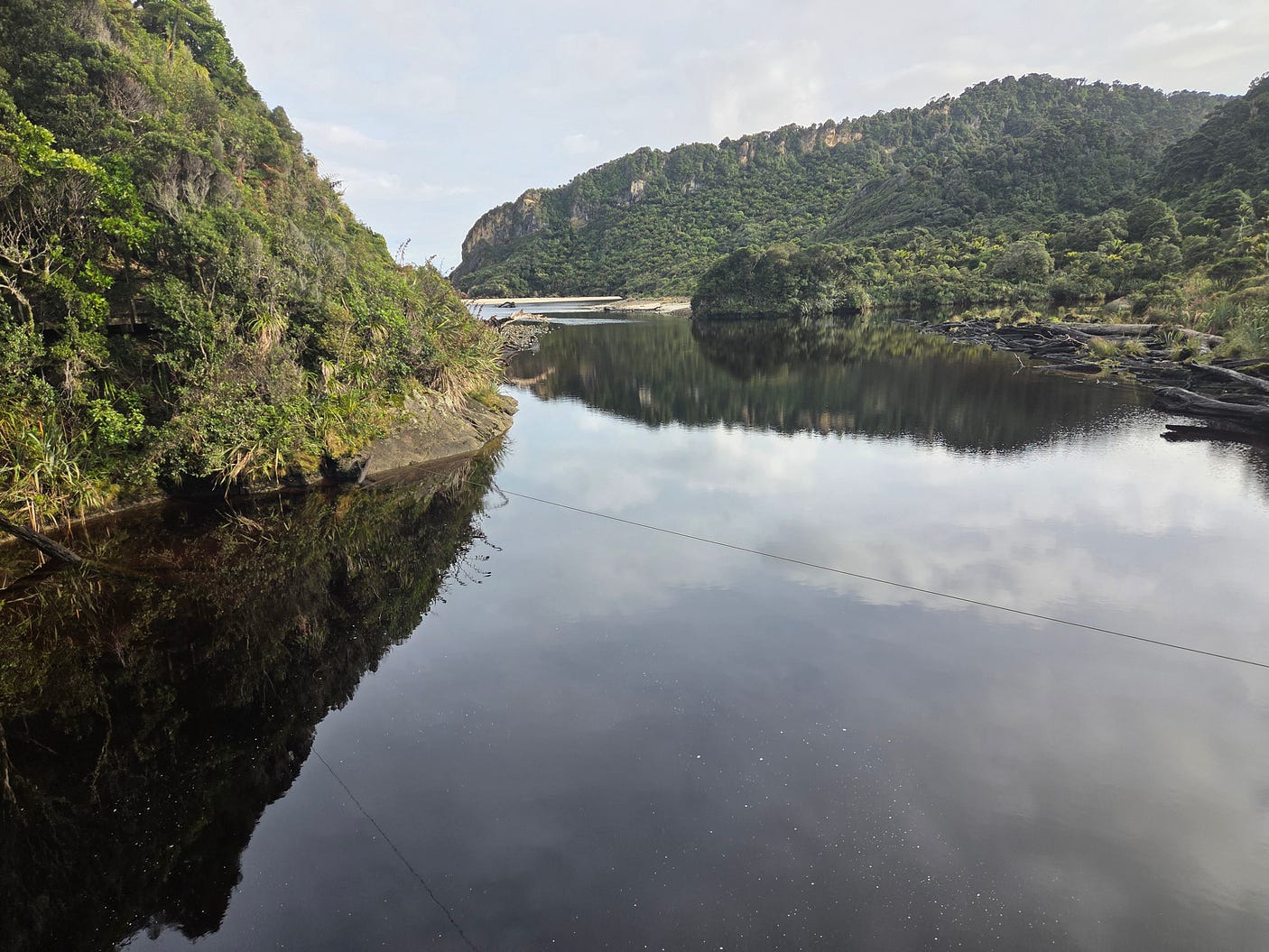
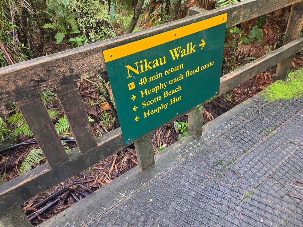
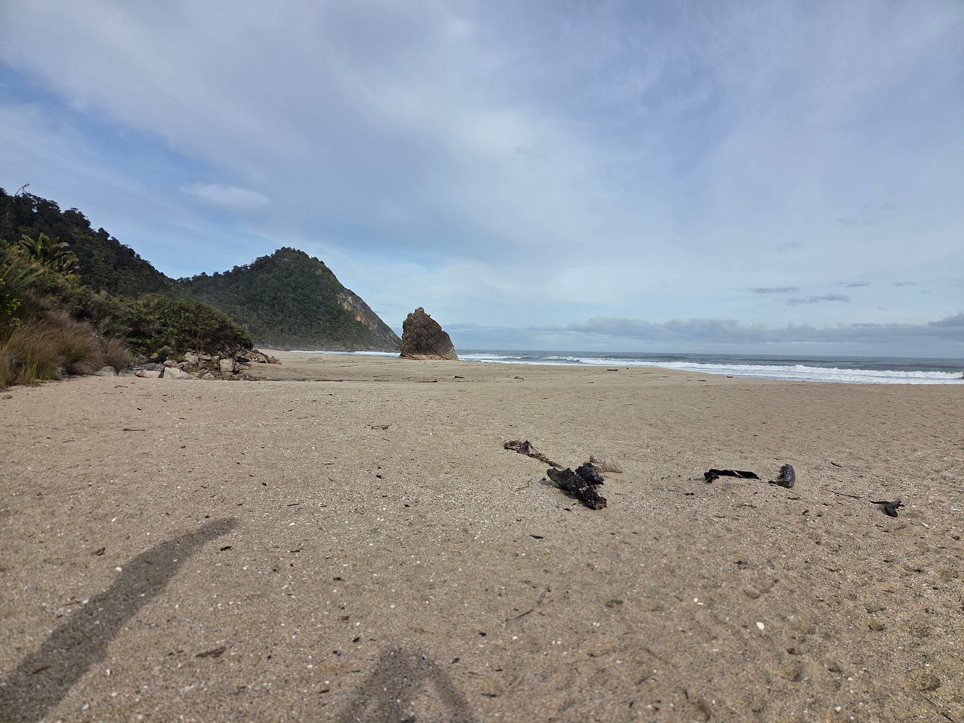
The beach just north of the Kōhaihai Bluff is known as Scotts Beach. It has a campsite as well. After that, you get to Big Rock Beach and Koura Beach.
The following video shows what the track is generally like in this area. The Wekakura Bridge is not close to Scotts Beach; it is actually quite a bit further along the coastal stretch, closer to the Heaphy River.
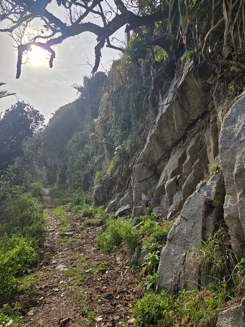
In places, the track goes partway up the cliffs, but still on the ocean side once past the Kōhaihai Bluff, so you get good views of the sea.
Some sections of the track used to be lower down, but were washed away by the big West Coast waves. So the track has been rebuilt higher up.
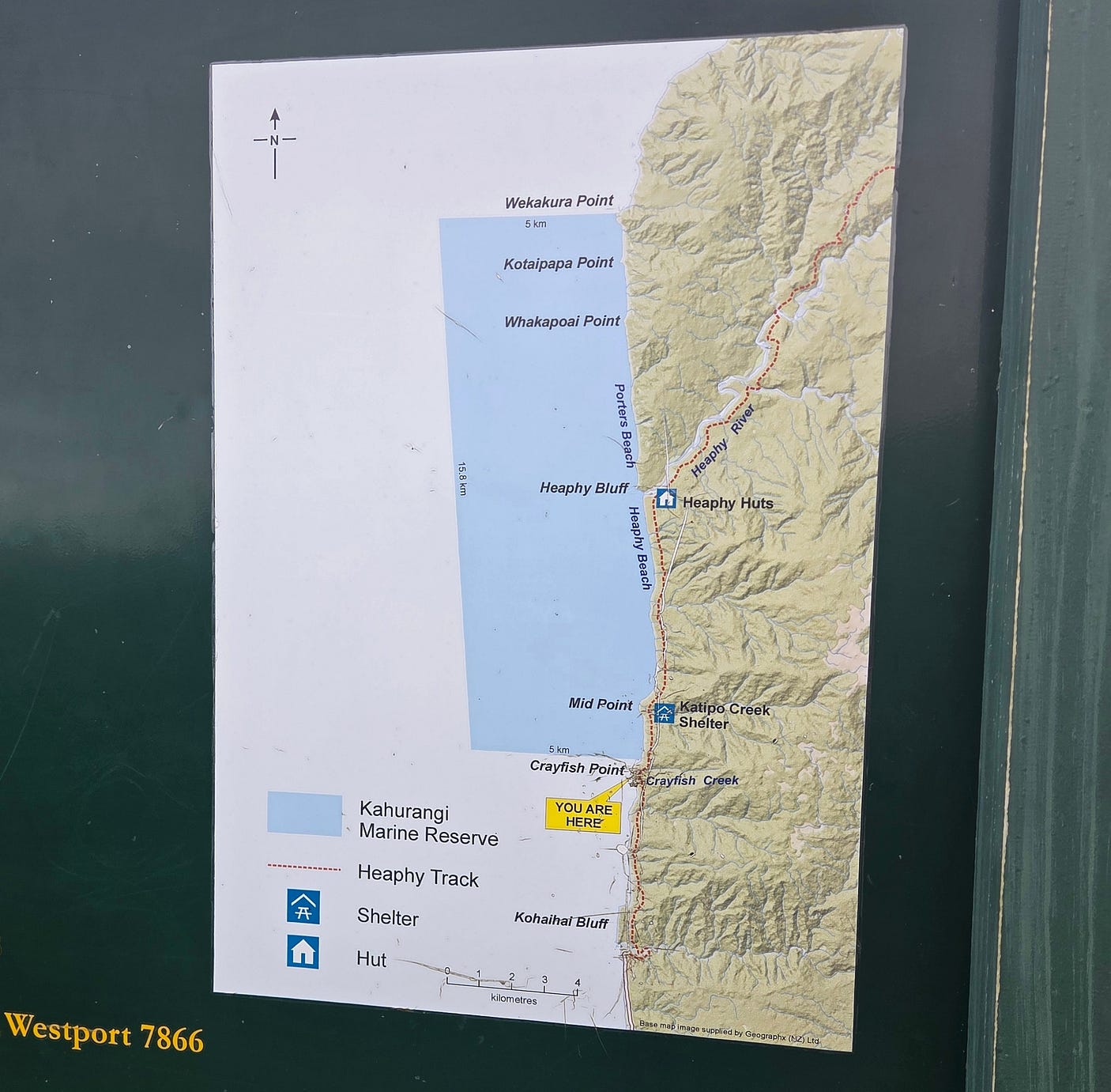
At Crayfish Point, we saw a map indicating the start of the Kahurangi Marine Reserve and the site of the Katipō Creek Shelter at Mid Point, just a little further on.
Here are some palms and a partly rocky beach, called Twin Beach, between Crayfish Point and Mid Point.
And then we came to the Katipō Creek Shelter, and Campsite.
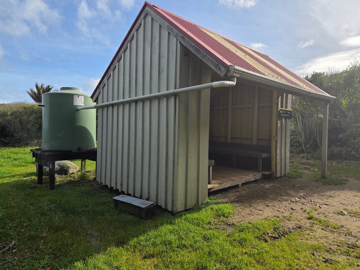
There was a sign warning of dangerous conditions along this western part of the Heaphy Track in wild weather, though it was pretty stable when we were there.
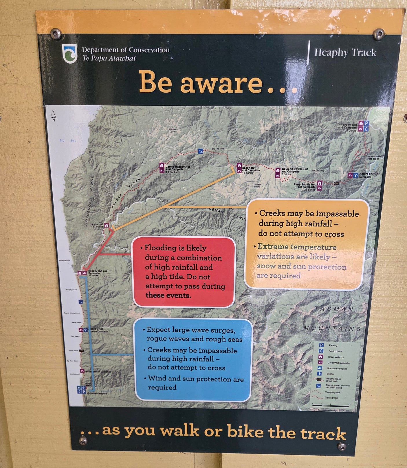
While we weren’t troubled with insects or excessively hot sun, as it was the middle of winter, it does pay to pack plenty of warm clothing and waterproofs. Plus suntan lotion, sun-hats, walking poles, and insect repellent!
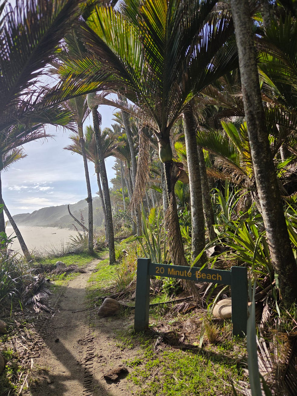
And then we got to Nettle Beach, and 20 Minute Beach.
And finally, after Heaphy Beach, the Heaphy Hut at the mouth of the Heaphy River.
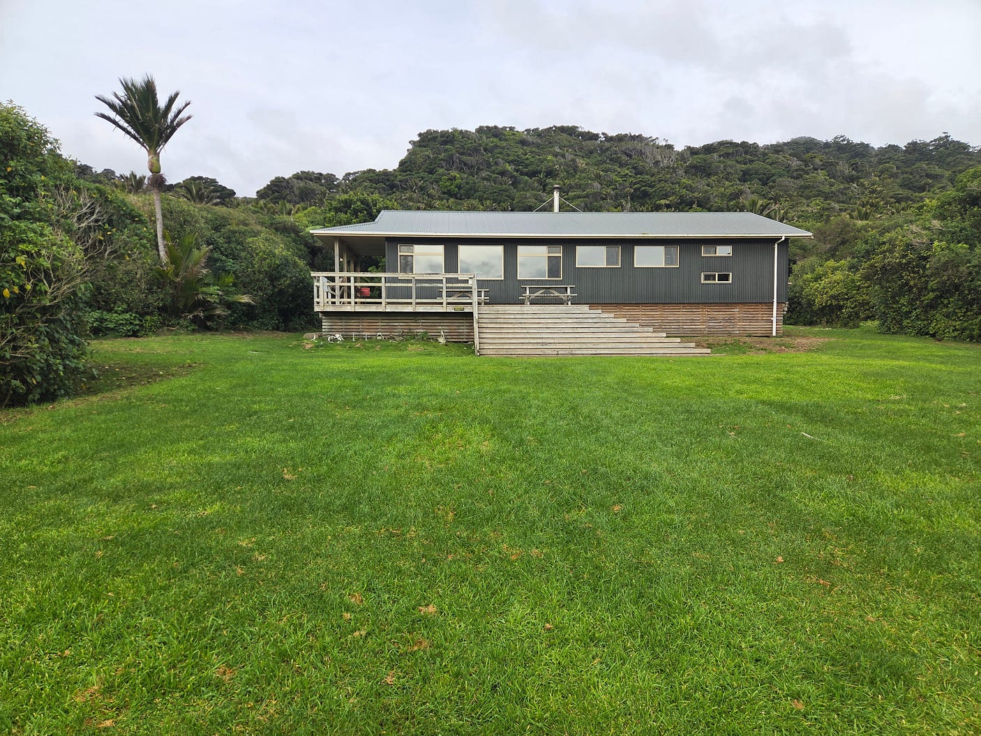
I found that there was still cellphone coverage from my provider at the Heaphy Hut, though, of course, it would pay to check with yours.
There were twenty people in the Heaphy Hut. So, quite a few people do hike this in winter!
We watched the sun go down over the beach.
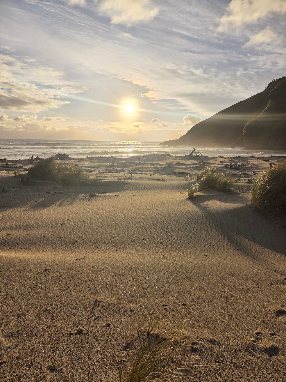
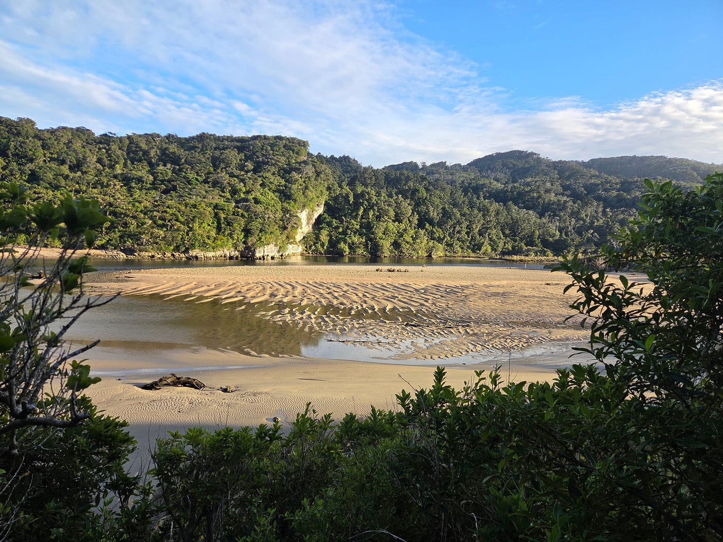
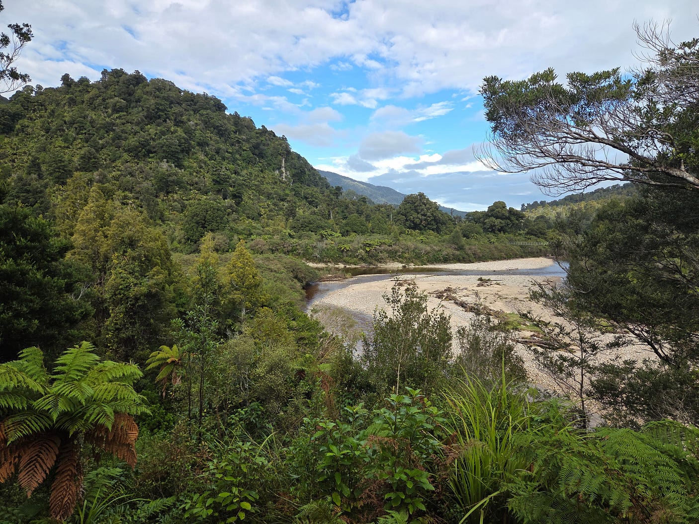
Here’s a lovely view of the same westering sun shining up the Heaphy River.
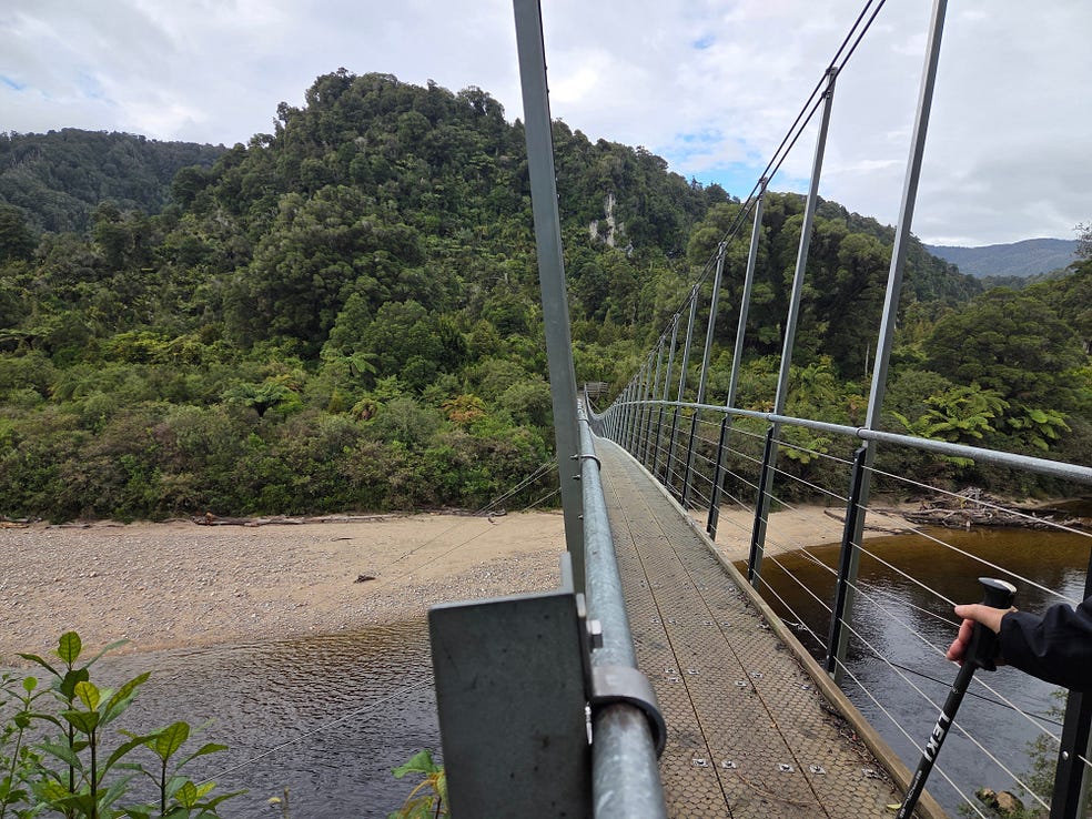
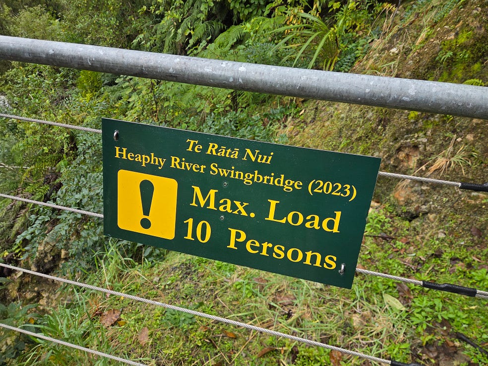
The next day, we crossed the Heaphy River on a comparatively new swingbridge and headed inland on the Heaphy Track to the Lewis Shelter.
Here’s a video I made in the bush, on the way to the Lewis Shelter, which was also fairly new, replacing the defunct Lewis Hut.
The old Lewis Hut was only ten metres from the flood-prone river and was going to be swept away by it, sooner or later, if nothing was done. The Lewis Shelter is perched high above the river.
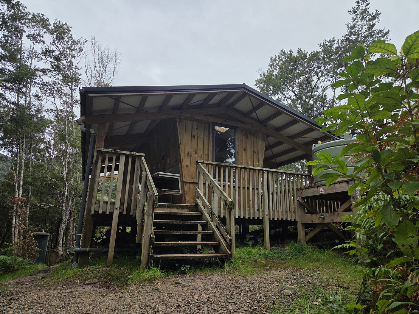
According to its Department of Conservation webpage, the Lewis Shelter is very good for birdwatching! And for looking out over the river generally.
However, you can’t normally sleep inside the Lewis Shelter, unless the river is up. It should have been a proper hut, because it is a long way from the Heaphy Hut to the James Mackay Hut, the next proper hut eastbound, all the more so as there is a steep climb to get to it from the west.
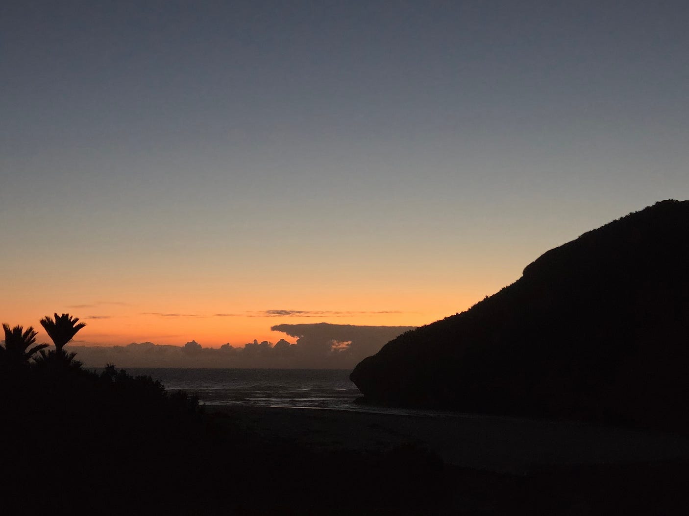
From the Lewis Shelter, we hiked back to the Heaphy Hut and Campsite, and enjoyed another sunset over the Tasman Sea.
After hiking back to the Kōhaihai Bluff carpark, we drove south to the Ōpārara Basin, through which the Ōpārara River flows to the sea.
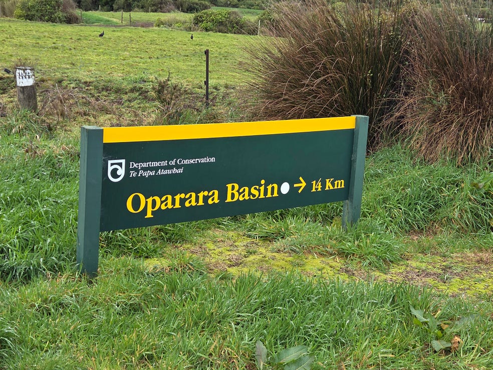
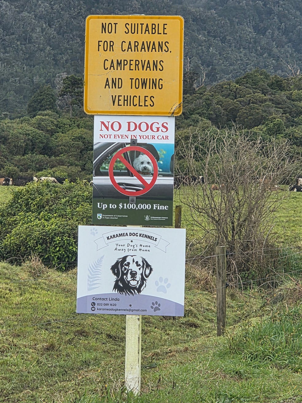
This is kiwi habitat, I believe, so there are no dogs allowed: not even in your car. Check out the fine!
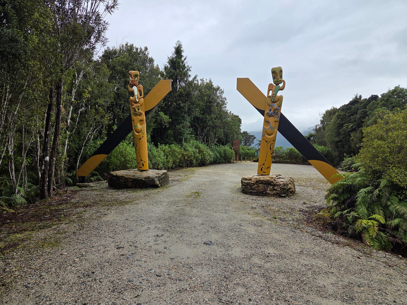
We came to a Waharoa, or ceremonial gateway, on the path leading to the Ōpārara Basin Arches, natural limestone features through which the Ōpārara River flows.
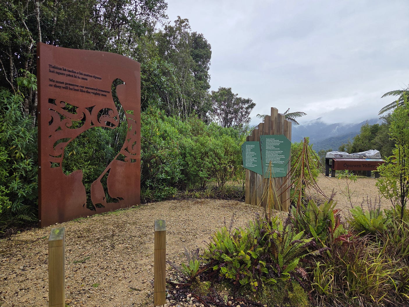
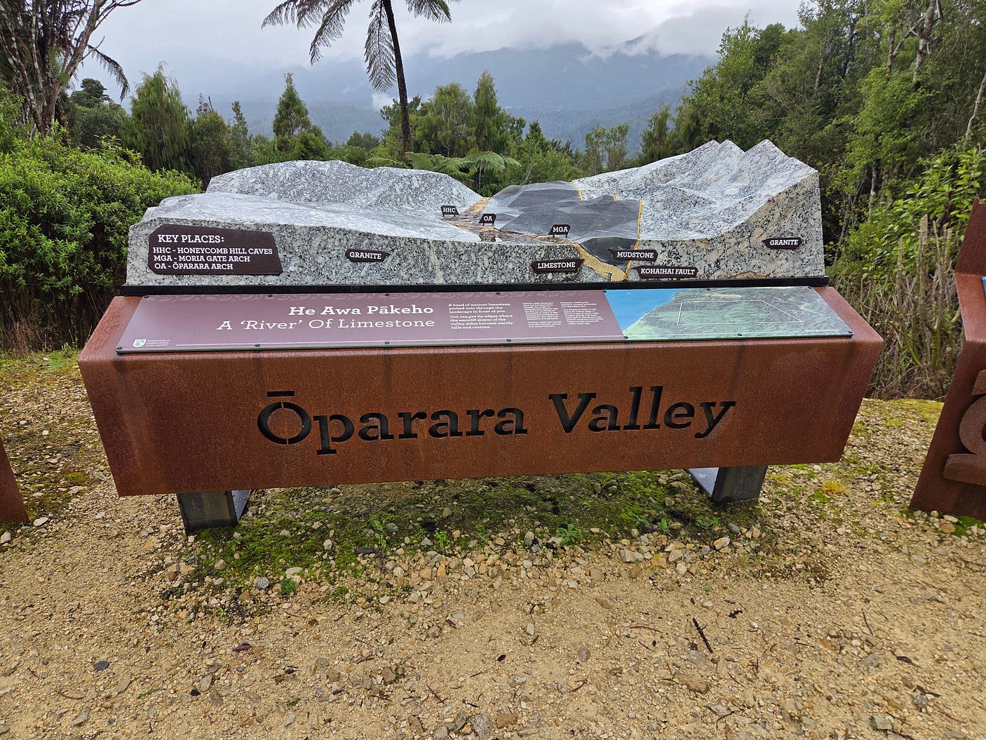
Right next to the limestone block, there was another information panel that described how creatures would fall into the limestone caves and become semi-fossilised.
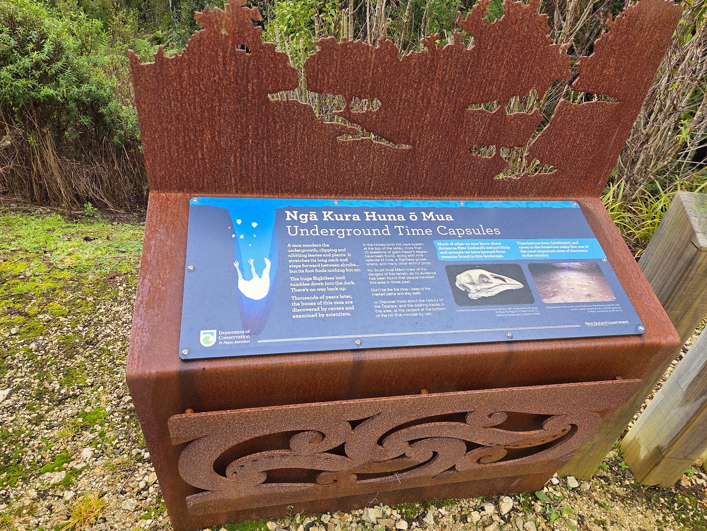
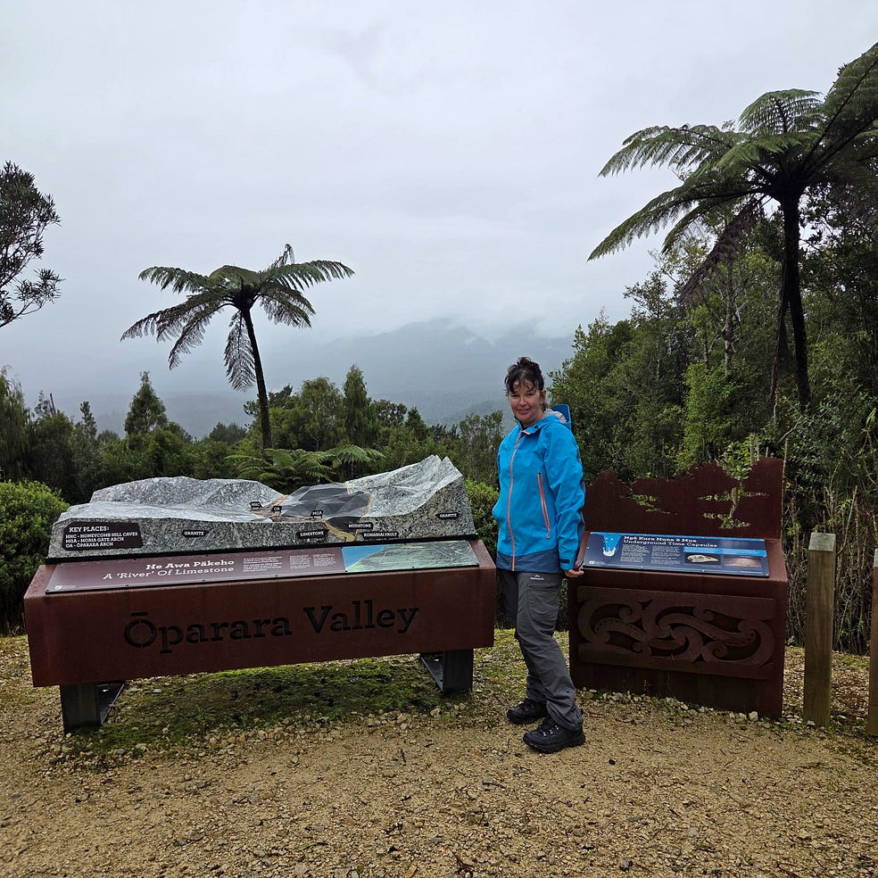
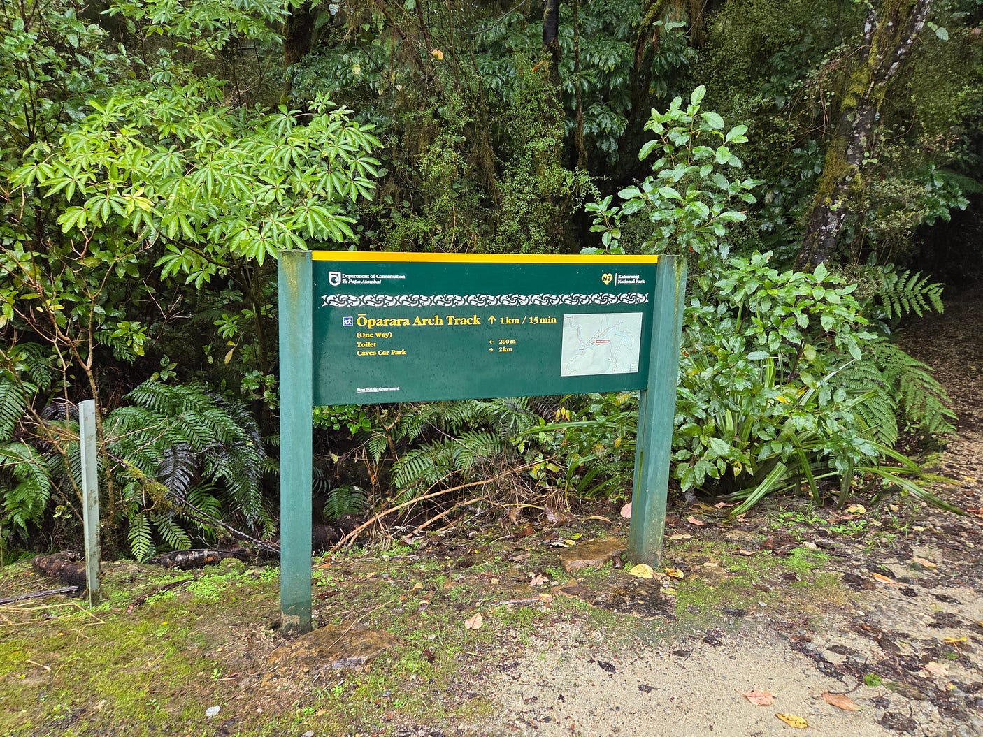
And so, finally, the last bit of the path, leading to the Arches.
Here are a couple of whio, or blue ducks, on the tea-coloured Ōpārara River.
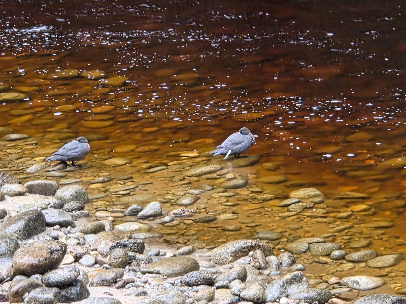
The whio only live on pure water: they will put up with it being tea-coloured, but abhor the stagnant ponds that other ducks are fine with. As such, the choosy whio are quite rare these days, and are only found in the hills.
Another unusual thing about whio, relative to other ducks, is that the male gives off a high-pitched whistle rather than a quack or a honk. This is where the name whio comes from: namely, the Māori word for ‘whistle.’ The female gives off a rattling sound, closer to the quacks and honks of normal waterfowl. You can hear those sounds in the following video:
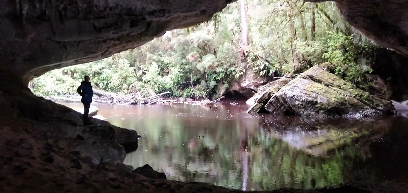
As you can see in the next couple of photos, the water is almost red.
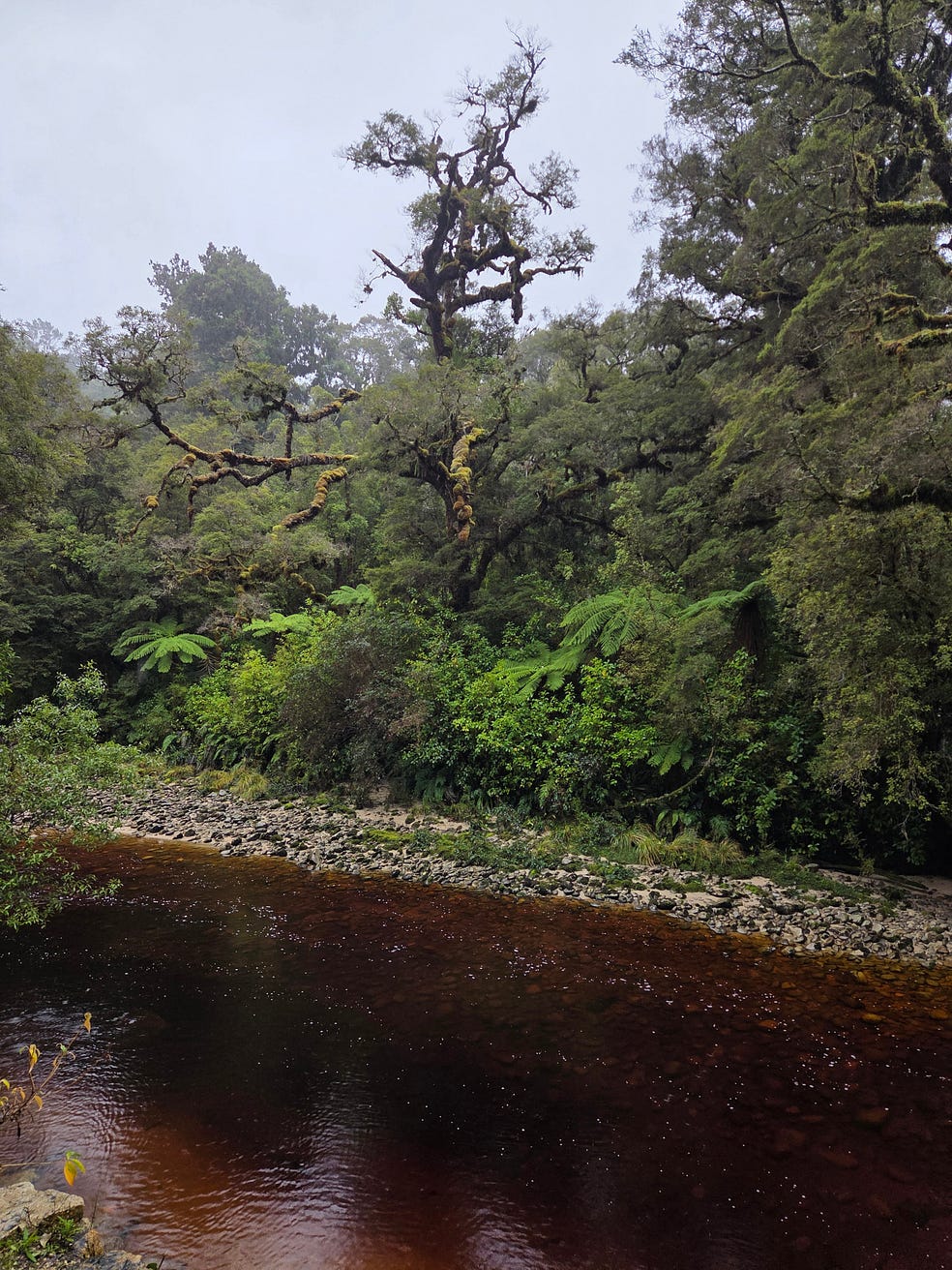
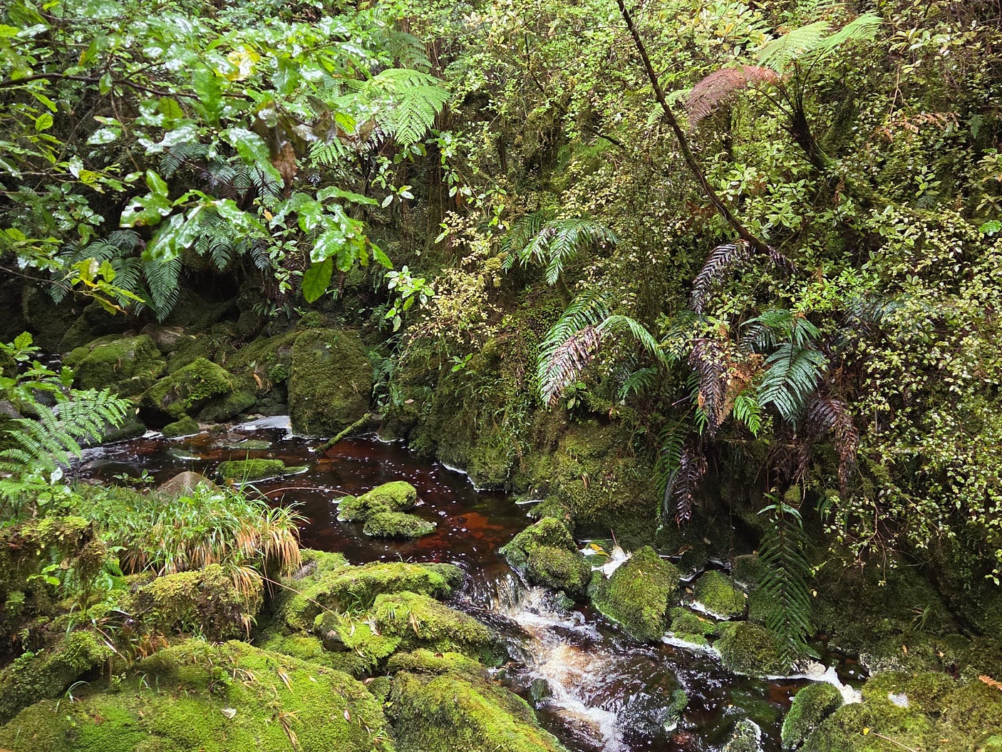
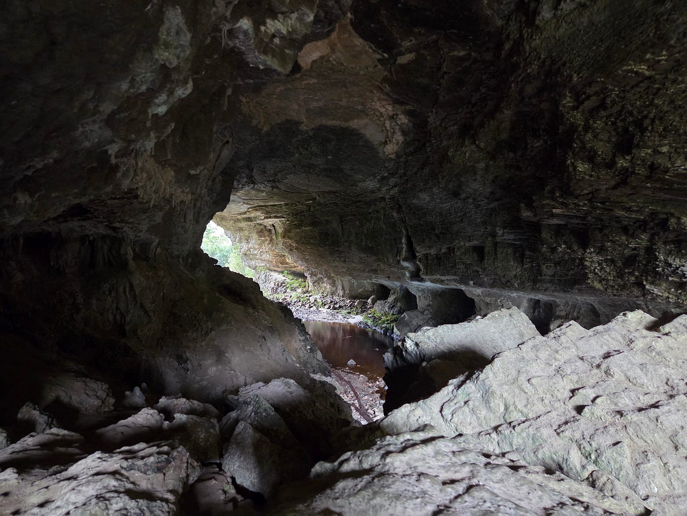
And here is a view from inside one of the Ōpārara Basin Arches, the Ōpārara Arch.
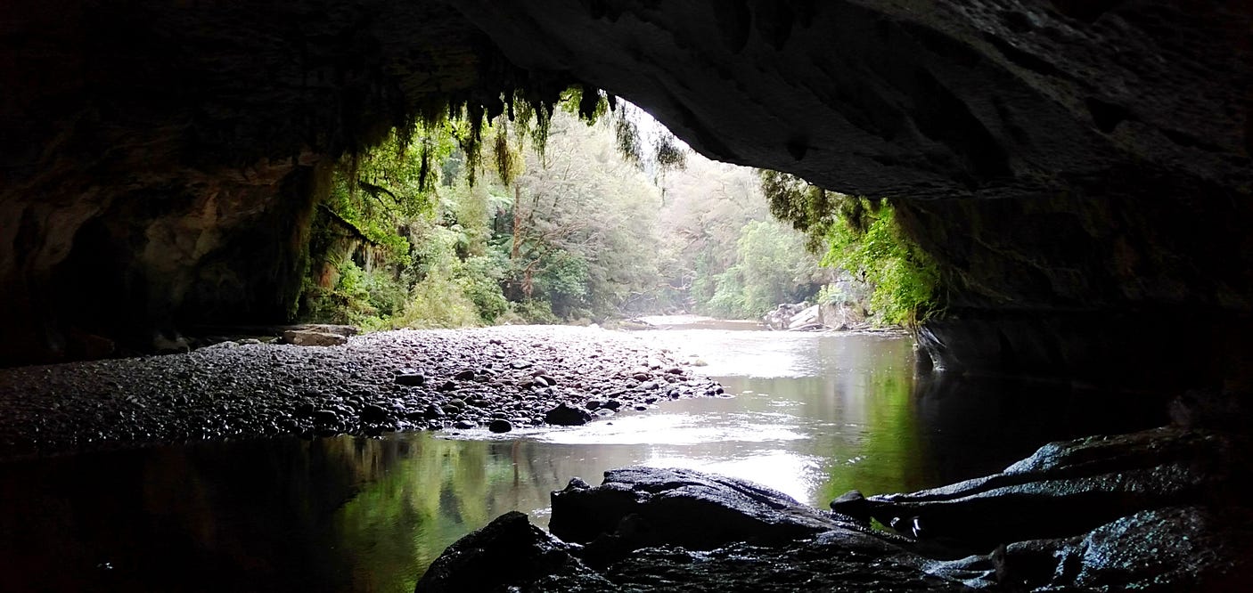
Here are a couple more photos of another Ōpārara Basin Arch called the Moria Gate Arch, from a previous trip.
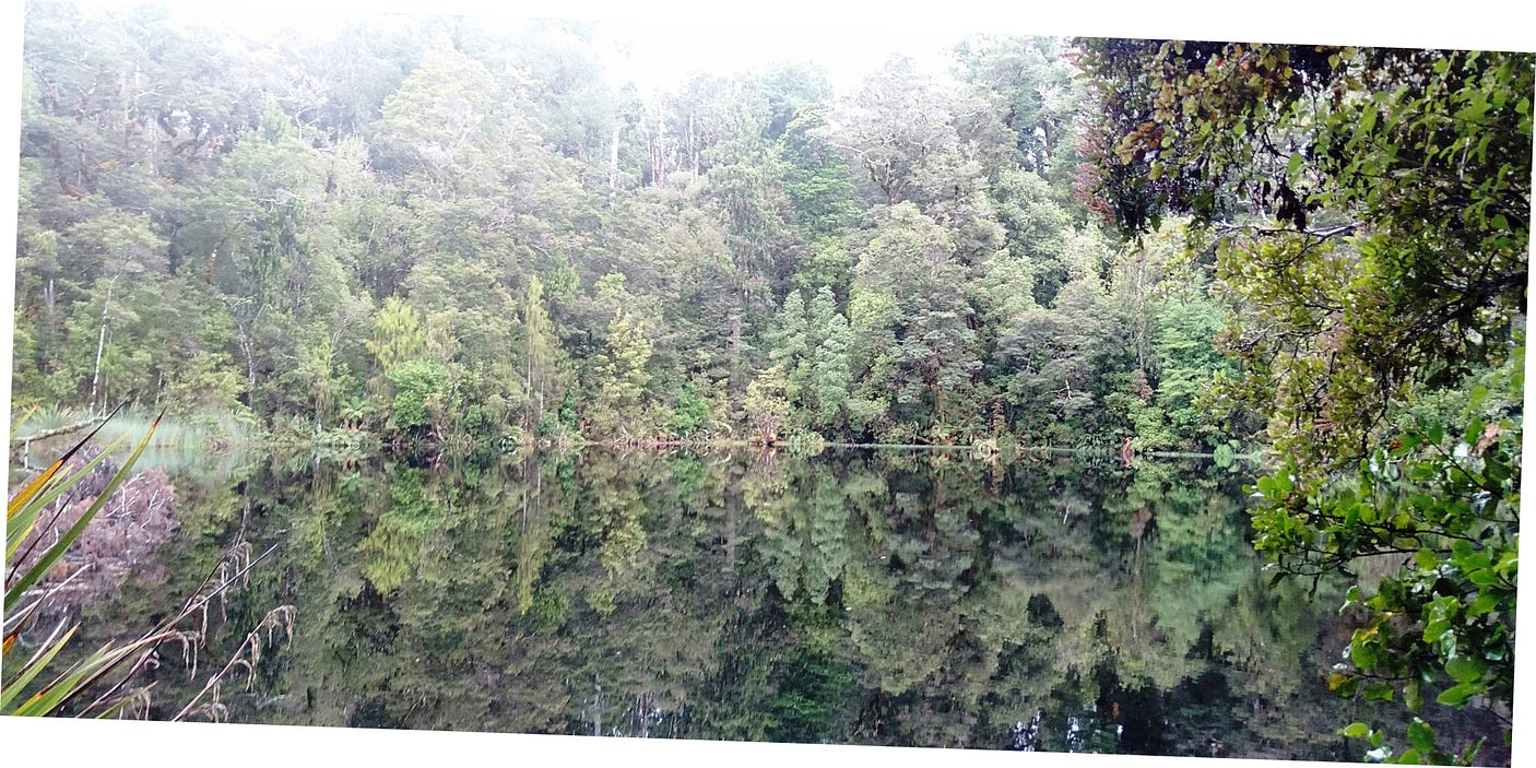
And here is the Ōpārara Mirror Tarn, in the same area.
All in all, doing the western part of the Heaphy Track and the Ōpārara Basin is a great one-car trip, devoid of the logistical complexities of hiking the entire Heaphy Track across the mountains. You can do it either by itself, or as the northern end of a longer West Coast trip!
I also have an earlier introductory post on the Heaphy Track, and a follow-up post, an update which also describes the amazing ‘Dragons’ Teeth’ of the Douglas Range, over which I flew on the way back.
Subscribe to our mailing list to receive free giveaways!

