Giveaways
ON 1 October this year (2025), the New Zealand Department of Conservation (DOC) announced that a new bridge across the Route Burn at the Sylvan Campsite had been opened to the public.
The old bridge had been damaged in a flood in 2020 and then closed and demolished after another flood in 2023. This cut off the Lake Sylvan Walk, a popular daywalk, from the lovely Sylvan Campsite, near the eastern end of the Routeburn Track.
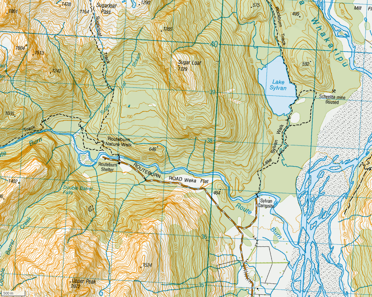
And, the possibility of doing a complete loop between the Routeburn Shelter and the Sylvan Campsite over the Sugarloaf Pass.

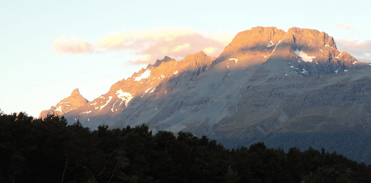
Here is a DOC webpage on the Rockburn and Sugarloaf Tracks; the next image in this post shows the view from Sugarloaf Pass.

The Rockburn Track also forms part of a larger loop called the Five Passes Route, which is mostly alpine and off-track. If you want to do something that is a bit like the Routeburn Track, but minus the tourists (and facilities!), this area is for you.
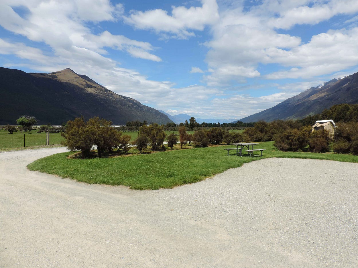
All this makes it more worthwhile to visit the Sylvan Campsite, which is a great place to get away from it all.
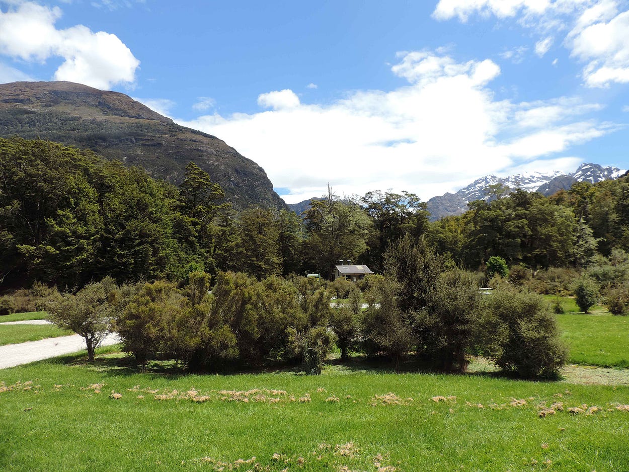
The Sylvan Campsite is overlooked from the north by Mount Earnslaw/Pikirakatahi, which is well over nine thousand feet high (2,819 metres to be precise), and thus higher than Mount Ruapehu, the highest mountain in the North Island, at 2,797 m.
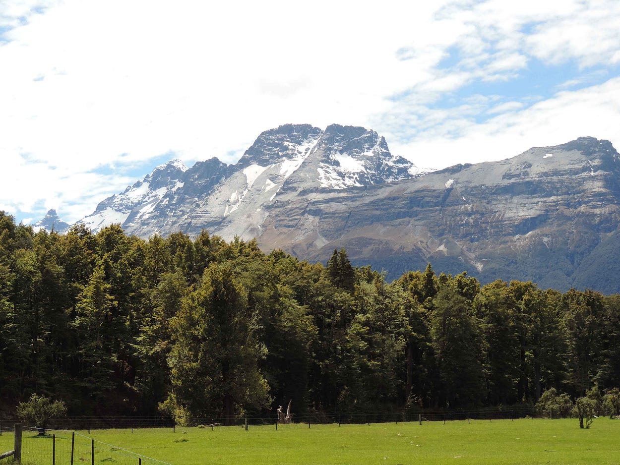
Mt Earnslaw looks like it belongs in the Rockies: a great massive chunk of rock with no particular shape, which the beautiful, conical Mount Taranaki of the North Island could probably be fitted inside several times over.
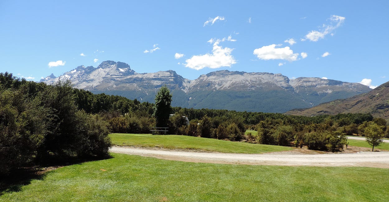
Yet by South Island standards, Mount Earnslaw is nothing special. There are 37 peaks higher than 2,900 metres in the South Island, and even among those with prominence (‘drop’) of 300 metres or more, Mount Earnslaw still only comes in at number 15 in order of height nationwide, with Ruapehu at number 19.
Even so, Mount Earnslaw and its neighbouring peaks form the rim of a canyon deeper than the Grand Canyon. That is perhaps the main reason why the scenery at the top of Lake Wakatipu is so spectacular.
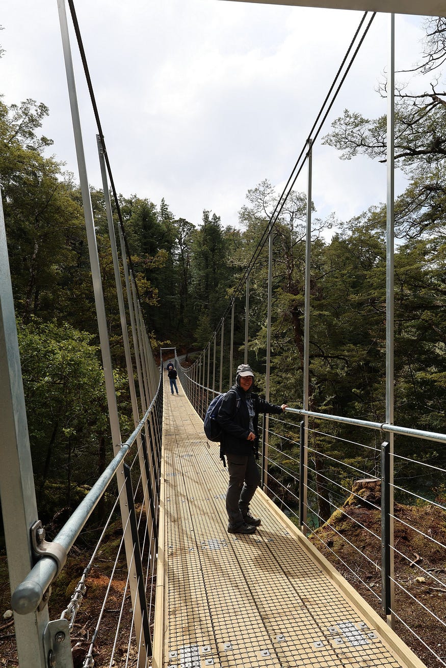
Here are some photos of the new bridge and of a hike I did to Lake Sylvan with some friends in October by way of the new bridge, and a new section of track.

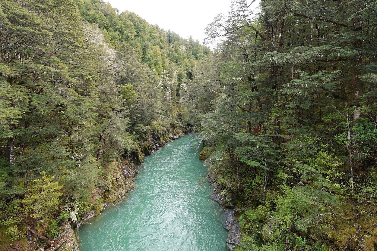
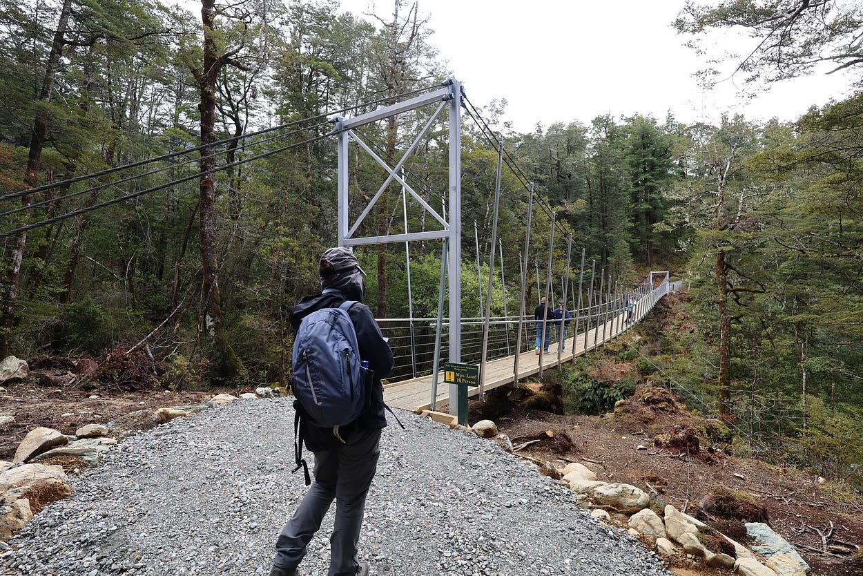
The next pair of photos, taken from the new bridge, shows the Route Burn, which was given its name by the explorer James McKerrow (there is a strong Scottish influence in Otago, and ‘burn’ is Scottish for a spring, stream or small river.)

Here’s a photo of part of the new track that was built to connect with the new bridge, which isn’t in the same place as the old one.

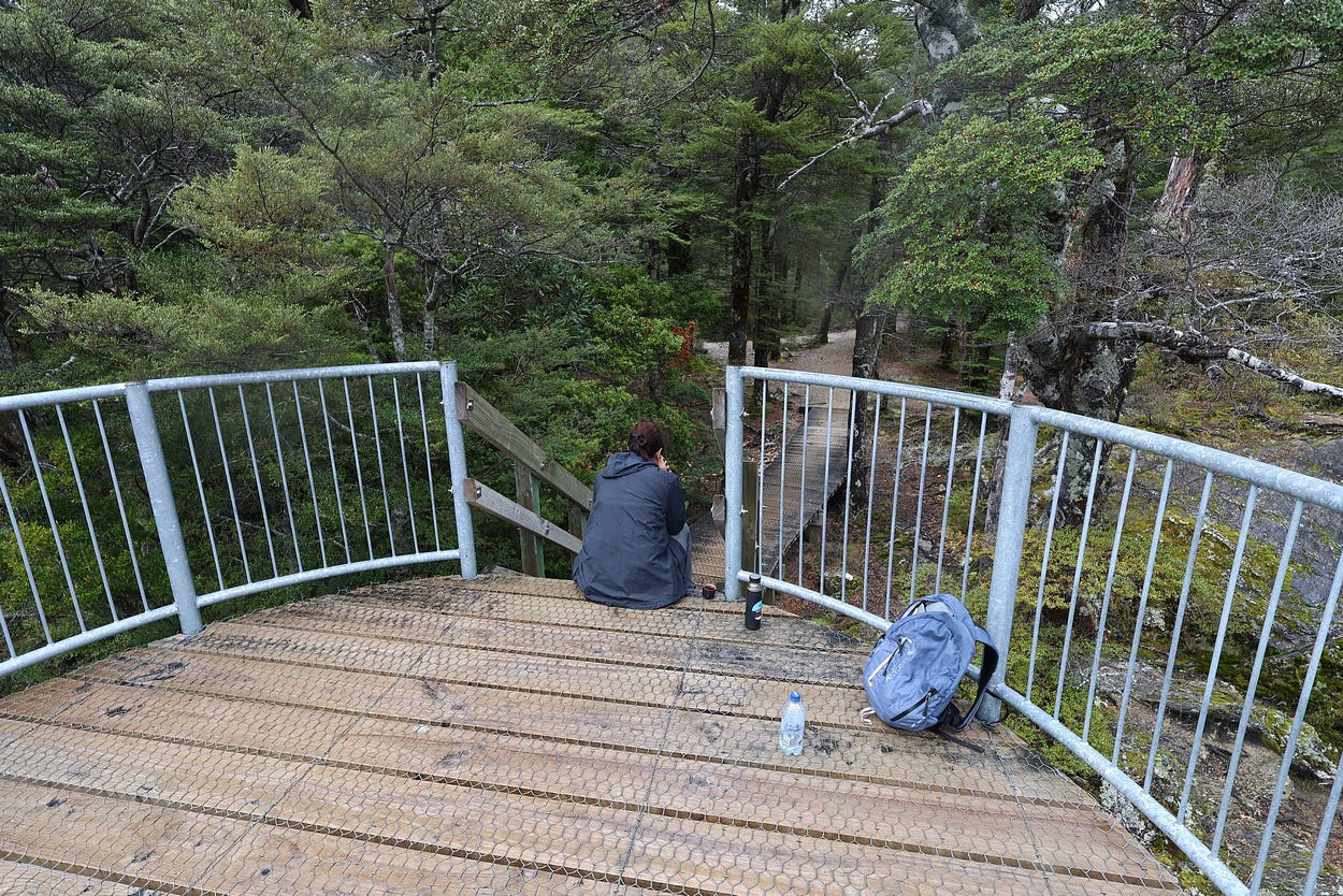
And some photos of Lake Sylvan and its lookout.
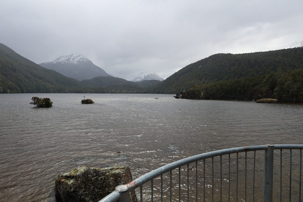

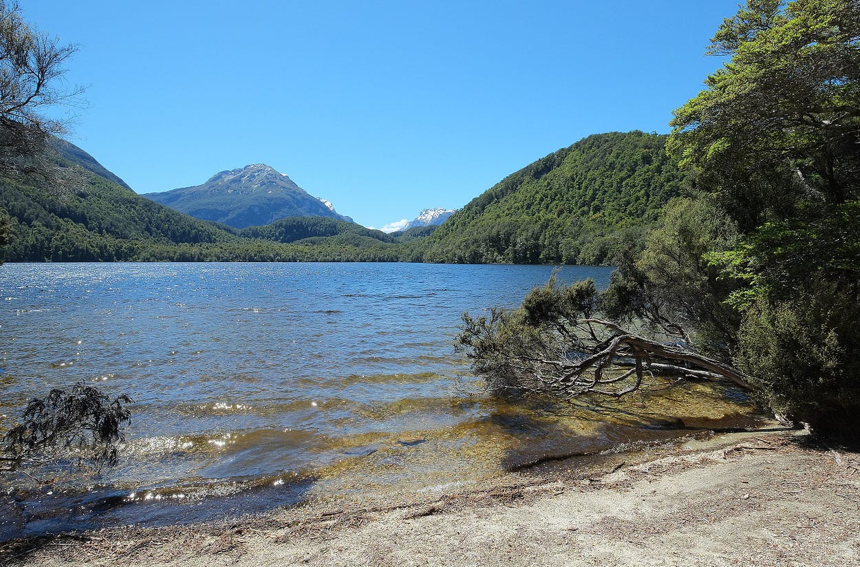
Unfortunately, I don’t have any photos of Lake Sylvan on a really good day. However, I did manage to find this one on Wikipedia:
And then heading back on the new bridge, which is 11 metres above the Route Burn and designed so that it cannot be washed out again.
At the western end of the Routeburn Road, which runs past the Sylvan Campsite’s short access road, you come to the Routeburn Shelter and the end of the Routeburn Track. On the day we were there last, this October, there were amazing cataracts, pouring off the mountains.
Here’s another video I made on an earlier trip, showing the same area and then a quick pan around Lake Sylvan from its lookout. I state that the bridge is out and that we had to wade across the Route Burn (much lower at that time), but of course, the bridge has since been restored.
If you liked this post, check out my book about the South Island! It’s available for purchase from this website, a-maverick.com.


Subscribe to our mailing list to receive free giveaways!
