Giveaways
THIS DECEMBER, I decided to go on a day walk up to Bowen Peak, above Queenstown, with an informal short-hike group called the Wakatipu Walkers.
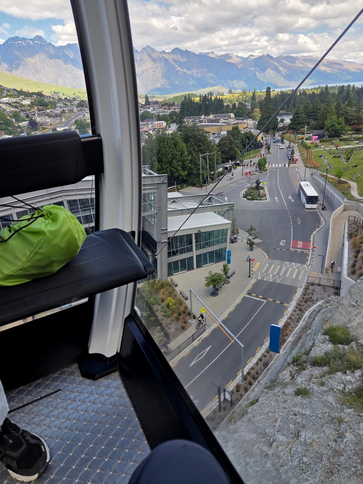
To begin the day, and join the trail, we took the gondola up to the Skyline Restaurant, and went back down the same way at the end of the day.
Queenstown, and a brief glimpse from the site of the Skyline Restaurant— in those days but a modest chalet or mountain tea-house — appear in the 1962 film Holiday for Susan at 13 minutes in, which is where the following clip starts.
In those days, you had to take a bus to get to the Skyline tea-house, on a gravel road that has since been incorporated into the walking and mountain bike track network.
I can’t really imagine driving a bus up those trails: the journey must have made the Skippers Canyon Road look like a motorway by comparison.
The restaurant’s famous gondola commenced operation in 1967: a far more relaxing way to get to the top, and a way of getting up that probably helped the old tea-house to evolve into the glitzy restaurant and conference centre of today.
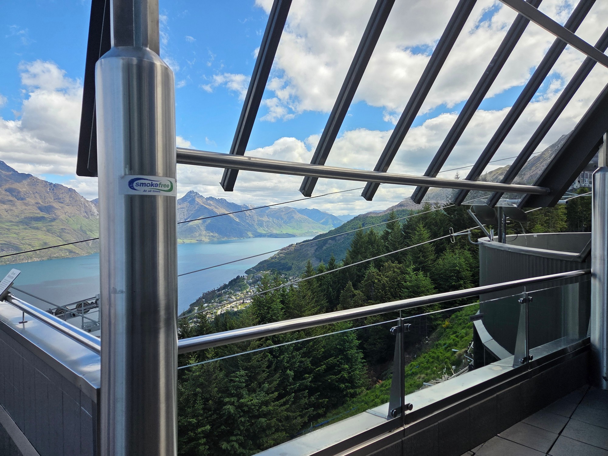
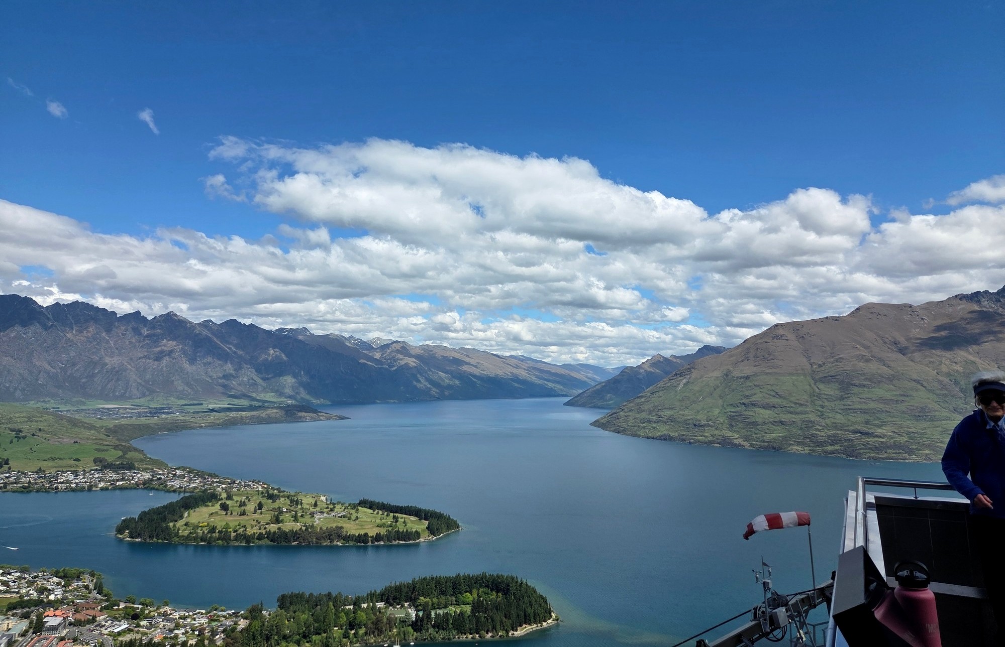
Here is a pair of views from the deck at today’s Skyline, which, though vast by the standards of the original tea-house, has once more been judged to be no longer big enough by its owners and is undergoing a further enlargement, costing NZ $200 million.
Along with a complete revamp of the gondola (now completed) and the luge at the top, a 2 December 2025 article in the New Zealand Herald recounts that:
All of this is expected to be finished in 2029. The contractor describes the job as epically challenging in view of the steep slope, difficult site access, and so on; though, as I say, in the old days they somehow managed to get a bus up there.
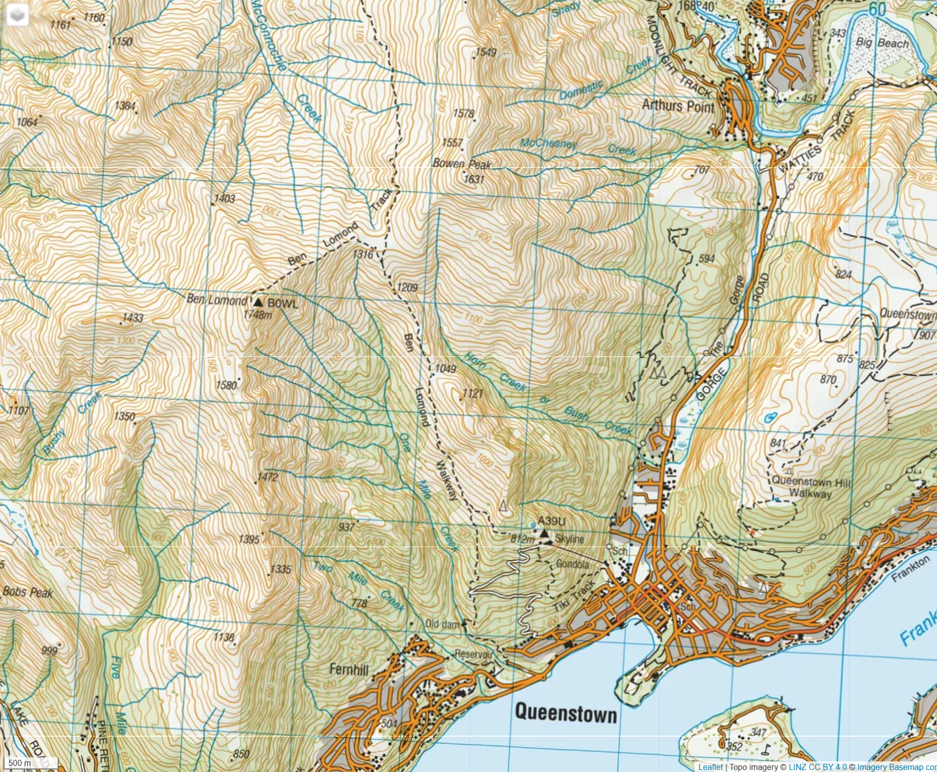
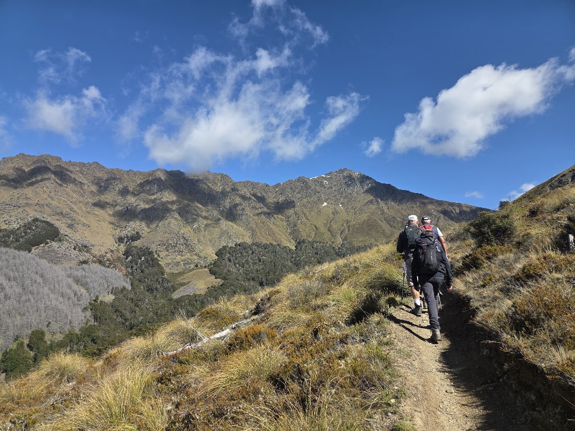
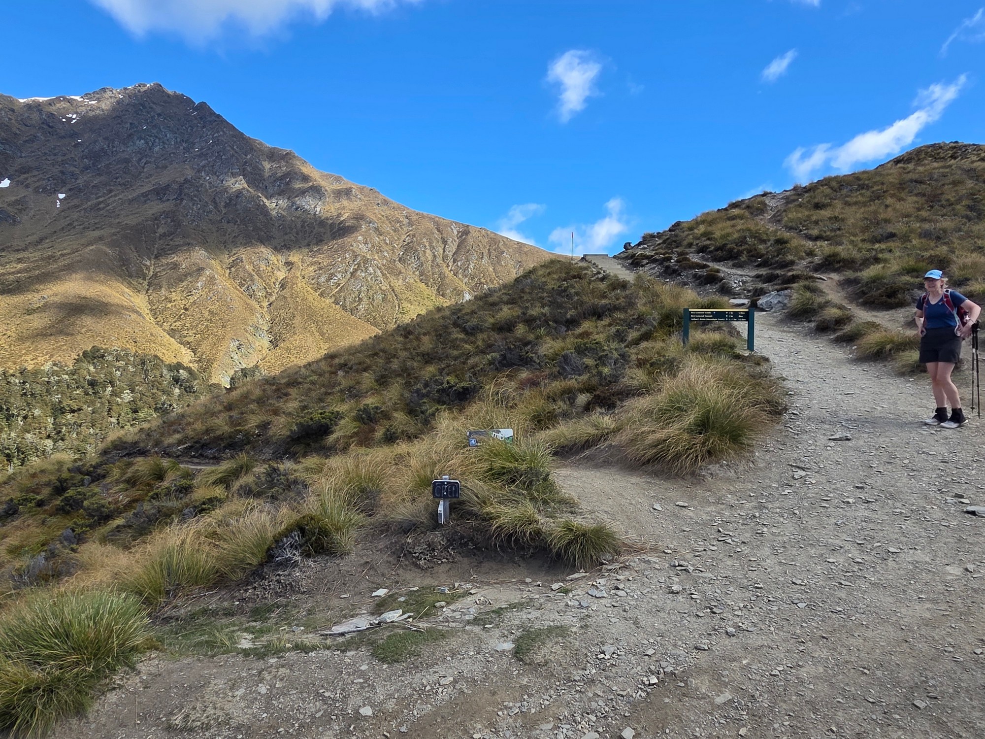
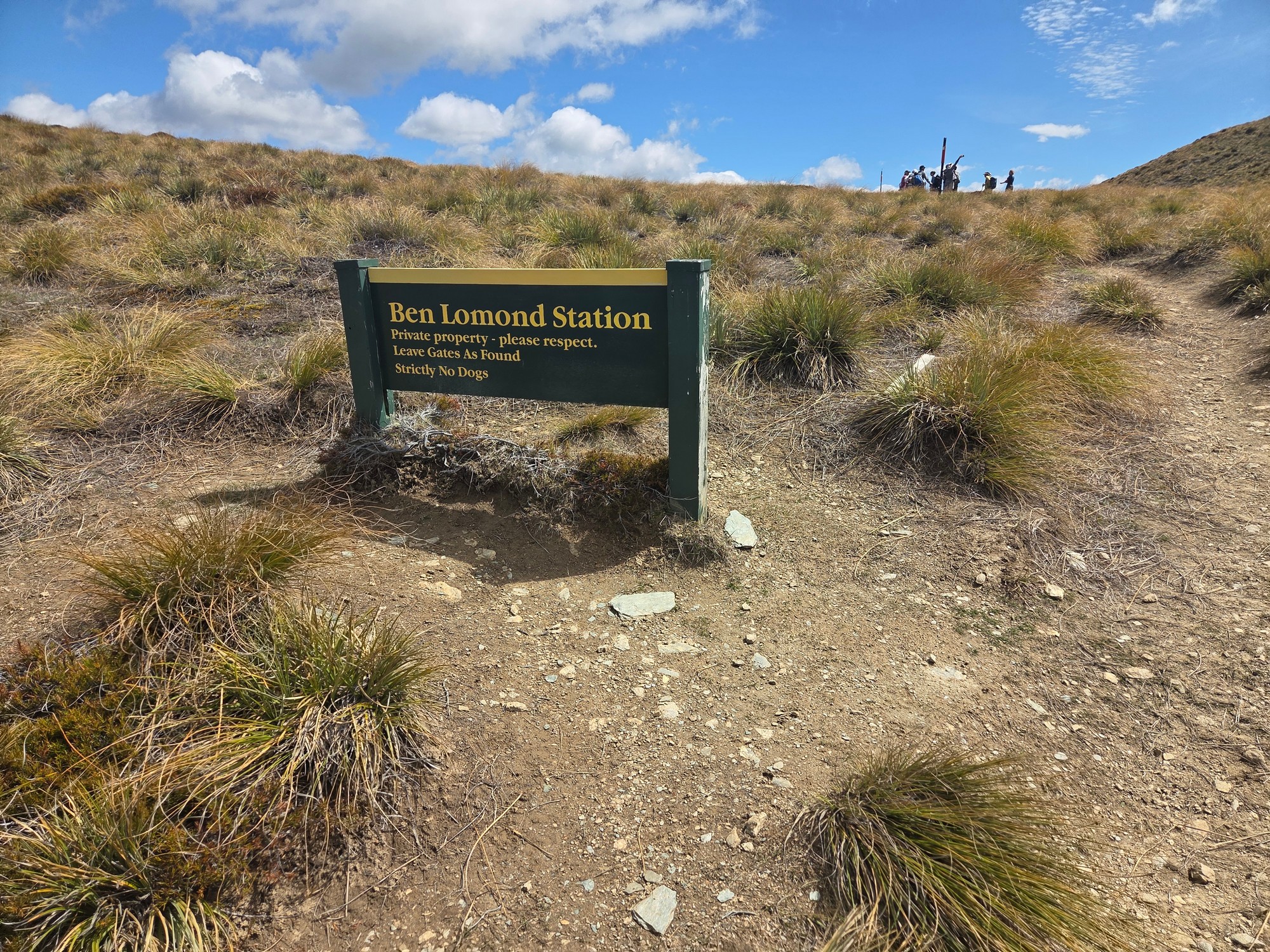
Anyhow, from the Skyline we hiked on up the Ben Lomond Walkway to the point where you could either head to Ben Lomond on the left, or Bowen Peak on the right.
Ben Lomond was given its name by a settler of Scots heritage, like many in Otago, after the Ben Lomond that overlooks Loch Lomond in Scotland.
Bowen Peak is named after the nineteenth-century Governor Sir George Ferguson Bowen, who is known, among other things of greater importance, for having approved the present design of the New Zealand flag in 1869.
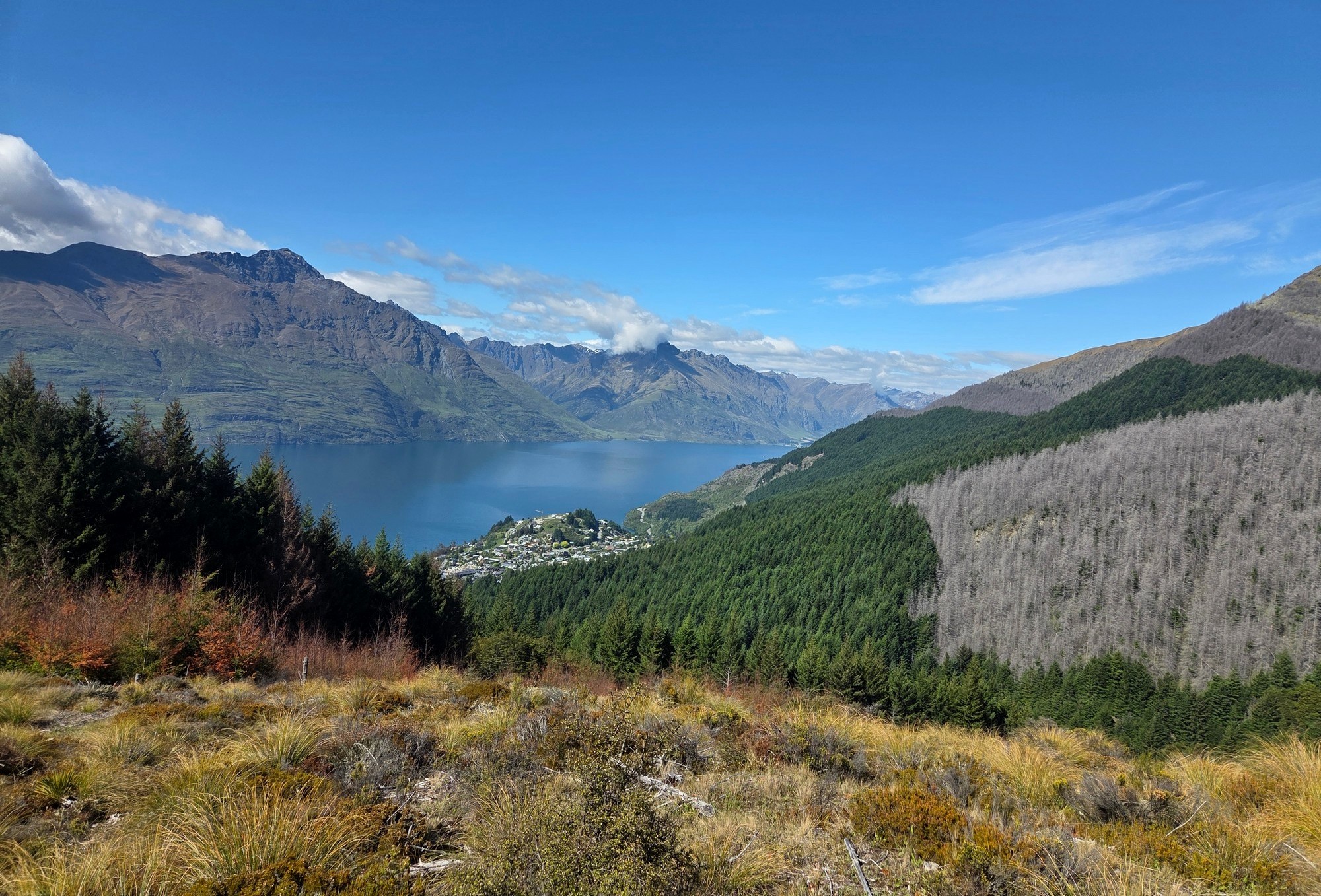
You can see some live pines in the photo above, and dead ones to the right. The pines are not native to New Zealand, and are slowly being killed off in favour of native vegetation, both by poisoning and felling the big trees, and chopping out wilding (self-seeded) pines while they are still small.
The Wakatipu Walkers have a designated area in the hills, in which they take take responsibility for detecting and chopping out any wilding pines. Many of the locals have agreed to take on such plots.
I did the hike with Wakatipu Walkers, about 14 of us. I didn’t feel very confident, because I hadn’t done an overnight hike for a while.
And the weather down here has been really cold, and I have been quite busy, working on my house and doing retaining walls.
I was the youngest and the last: everybody else from our party who made it to the top of Bowen Peak was in their seventies.
As I got up in the last group of three, they didn’t follow the trail but went over the tussocks. One member of the club celebrated his 75th birthday at the top.
But we were not the only ones. As you can see in one or two of the following photos, there were quite a few younger people doing the hike as well.

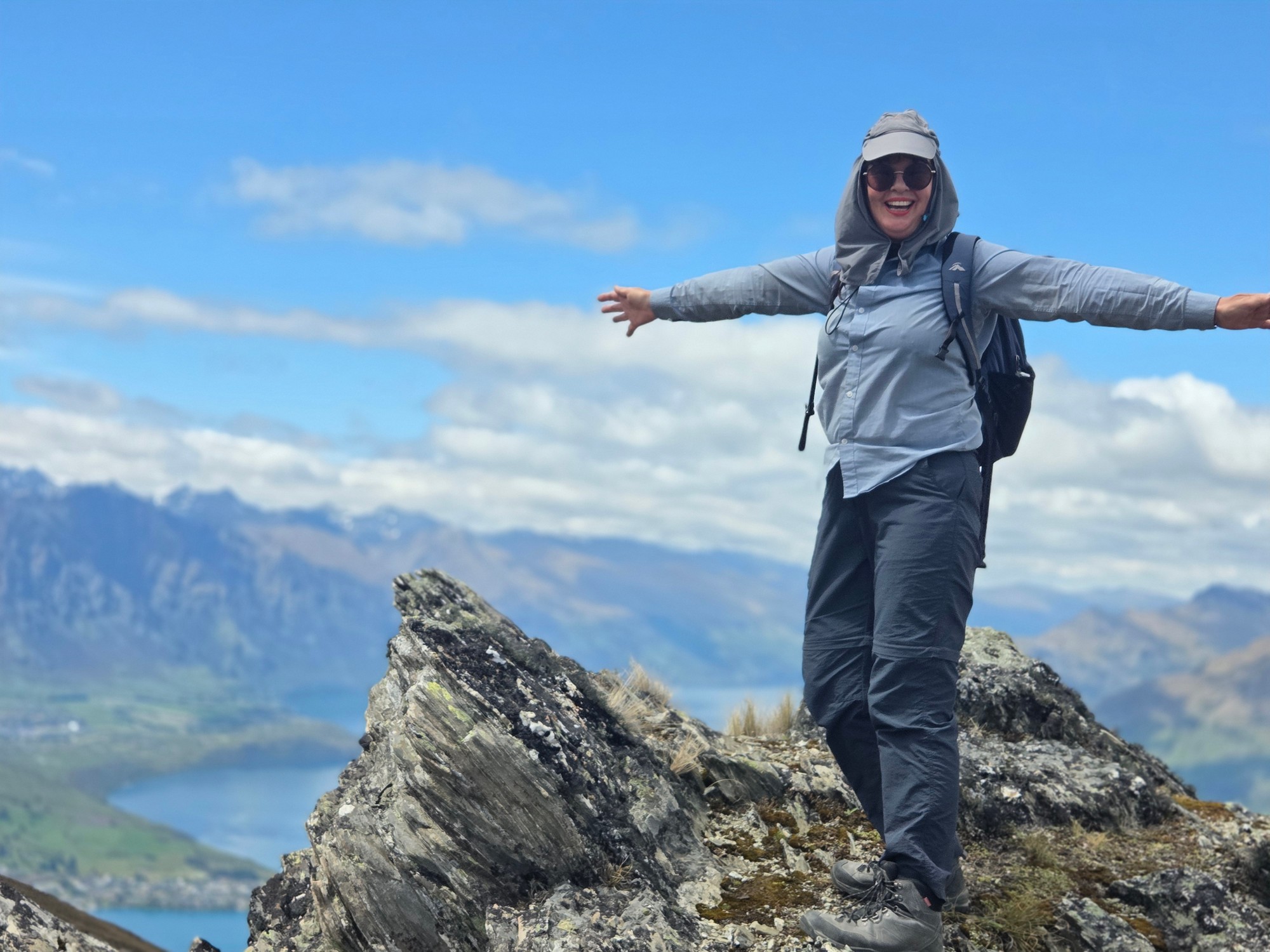
Here’s a photo of myself on a rock outcrop.
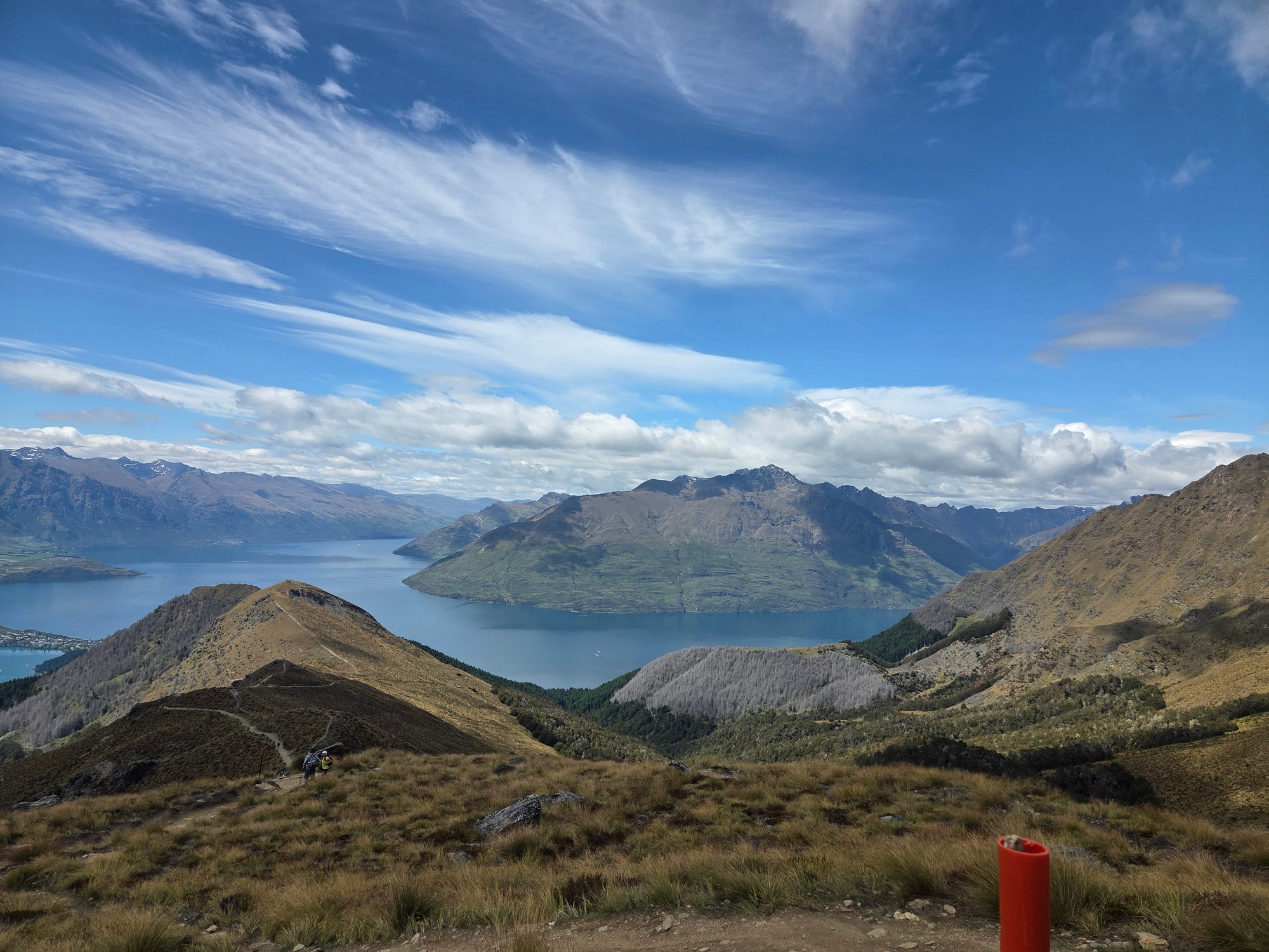
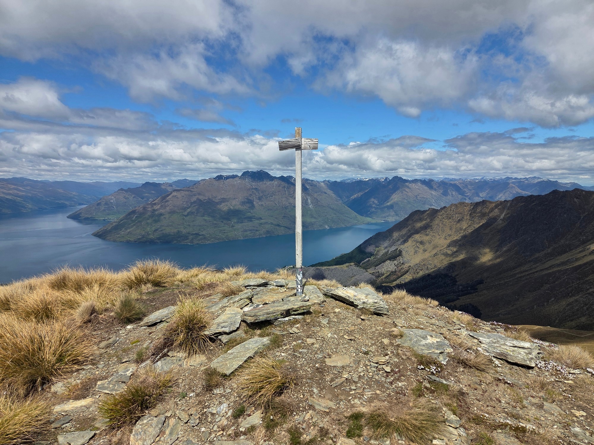
And here’s a view looking down toward the Shotover River, Arthurs Point, Queenstown Hill, Queenstown Airport, Frankton, and the Remarkables.

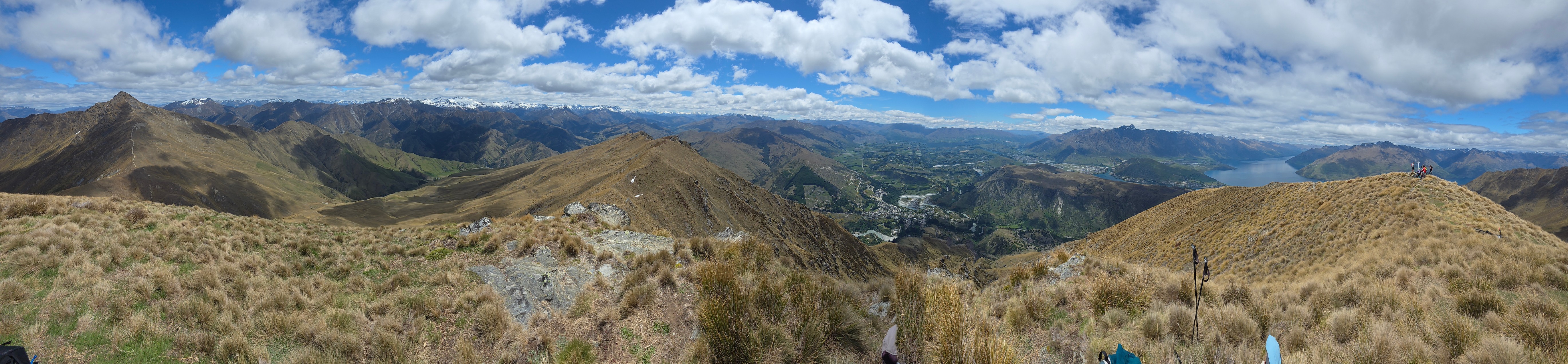
The next photo shows a panorama from Bowen Peak.
And what looks like someone phoning in the good news that they’ve made it to the top!

When we were near the top, a helicopter arrived and dropped off three mountain bikers and a guy from an adventure company.
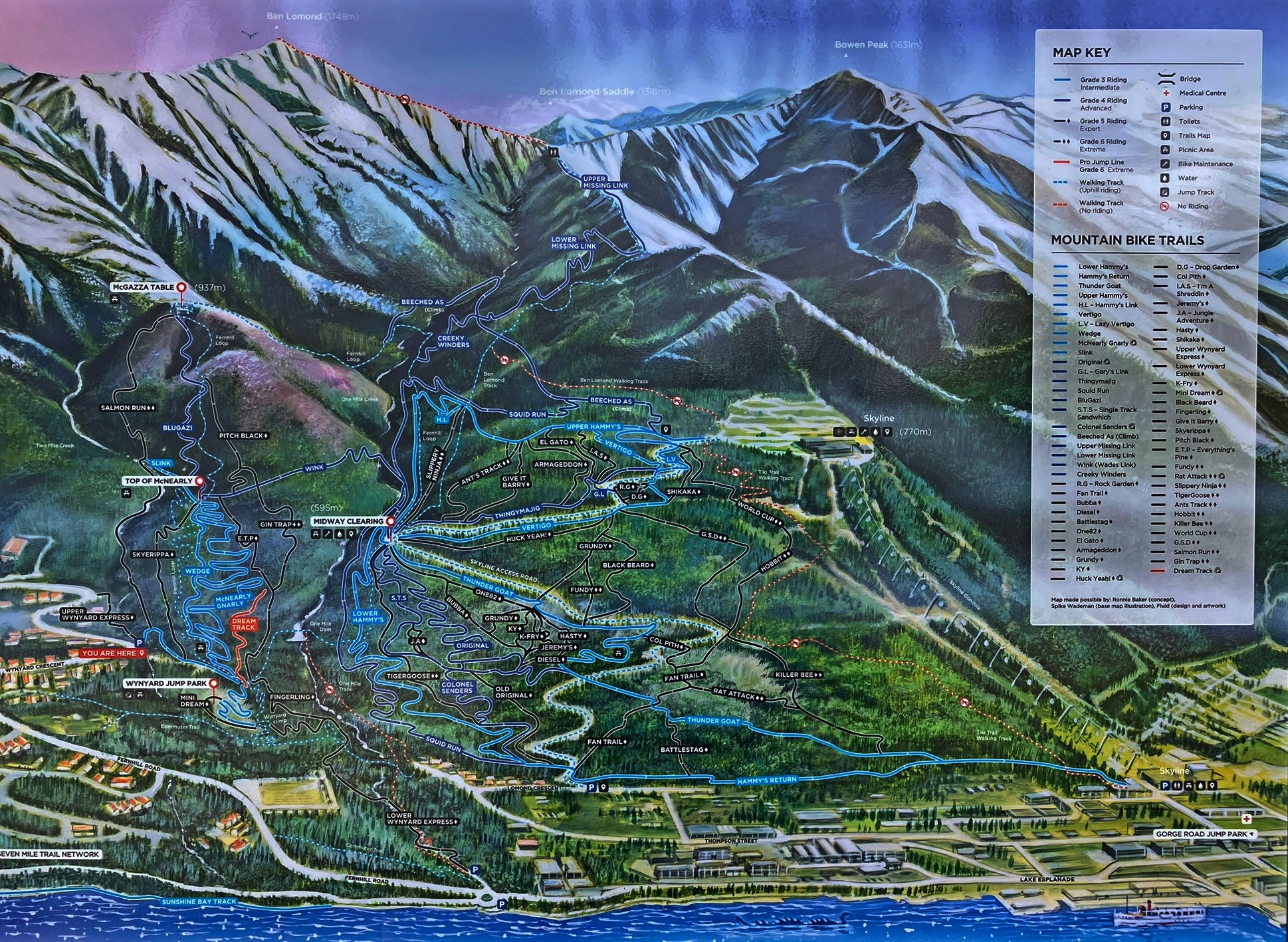
I think they were descending northward to the Moonlight Track and Arthurs Point, which you can see at the very top of the map above.
Here’s a video about heli-biking, with a thumbnail that looks as though it was shot exactly where we saw the helicopter.
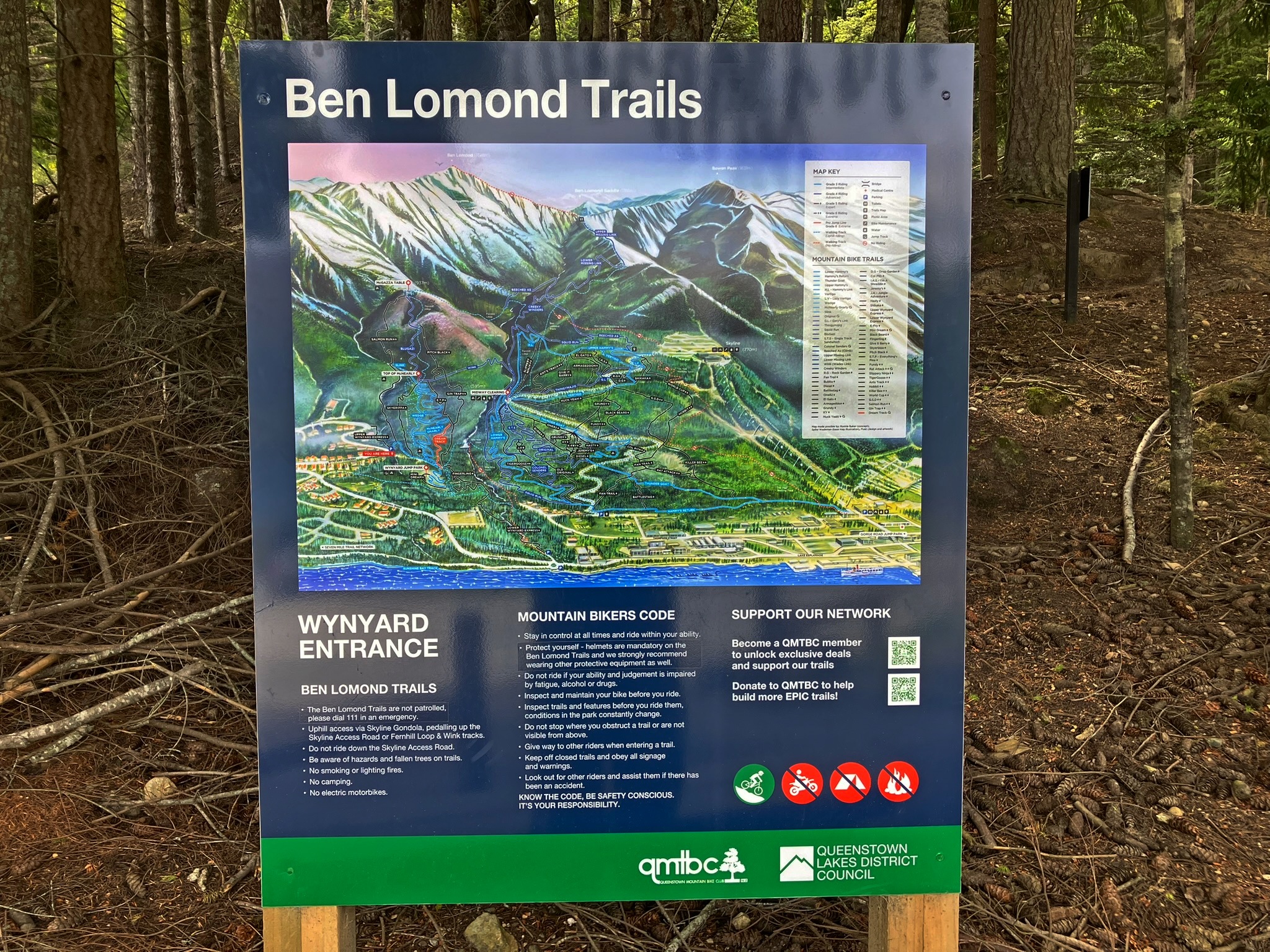
Queenstown seems to have turned into the mountainbiking capital of the world in recent years: you can find out more about its colourfully named trails on the website Queenstown By Bike.
There are heaps of trails just below Ben Lomond and Bowen Peak, for example.
Here’s a video that I made, ending with the dramatic departure of the helicopter, which tips over and dives into the ravine below the peaks. It looks like the one in the heli-biking video above, or certainly at any rate from the same company.
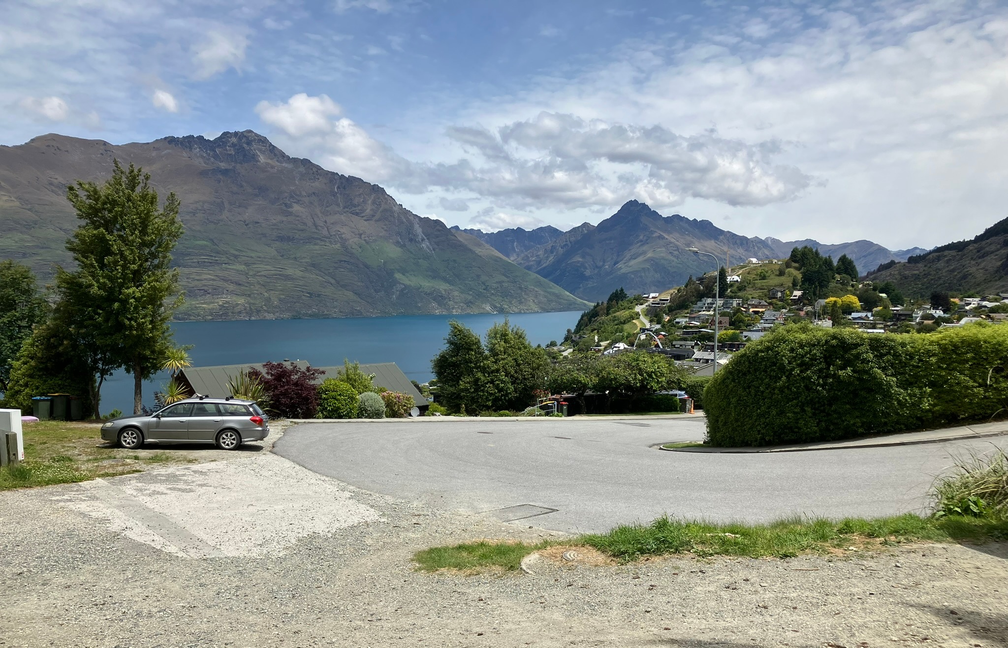
Although I went back down the way I came this time, which drops you off in the middle of town, it’s also possible to walk up and down from Wynyard Crescent in the suburb of Fernhill.
That way, you get to Ben Lomond and Bowen Peak, by way of the Fernhill Loop hiking track and the Beached As and Missing Link bike trails.
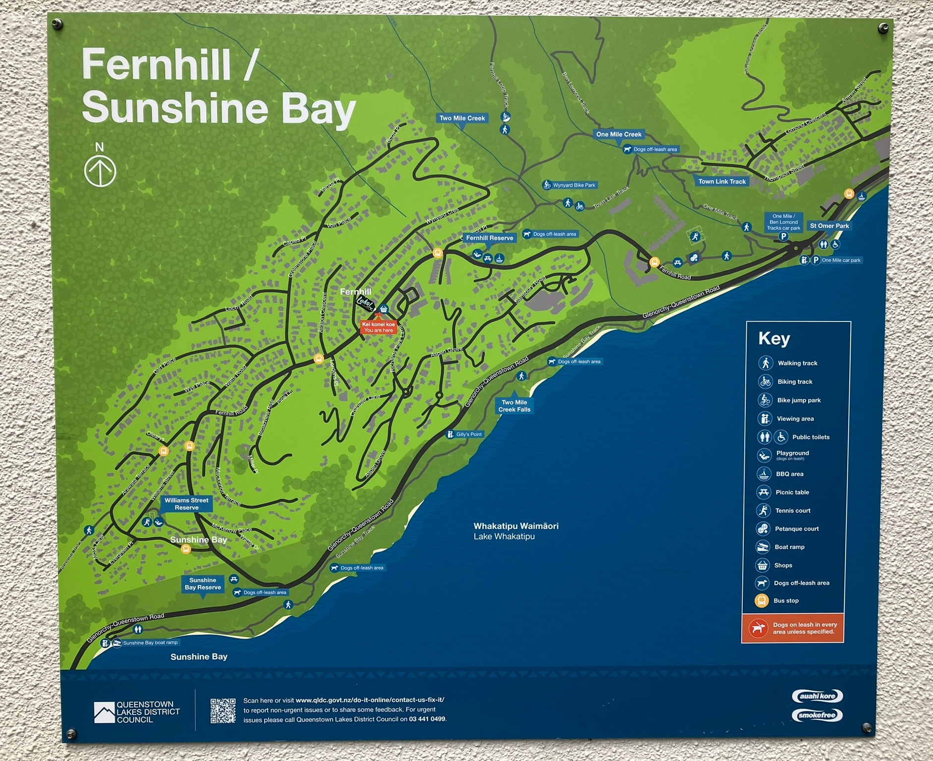

The Sunshine Bay Track, along the lakeshore, joins the One Mile Track between Fernhill and downtown. This also leads to the Ben Lomond Walkway.
For more, see the New Zealand Department of Conservation brochure, Queenstown day walks and bike trails.
If you liked this post, check out my book about the South Island! It’s available for purchase from my website, a-maverick.com.
Subscribe to our mailing list to receive free giveaways!
