Giveaways
EARLY this January, while the nation was still on holiday, I hiked from the Christchurch seaside suburb of Sumner to the beach known as Te Onepoto, or Taylors Mistake.

Sumner is famous for its beach on which castle-like rocks grow out of the sand, and many cafés that look out onto them.
Te Onepoto means short or little beach: it is indeed cosy. Its English name, Taylors Mistake, comes from an old-time sea captain who mistook it for the entrance to Lyttelton Harbour.
Between the two, there is a short hike over the cliffs of Sumner Head. You start either on the more gentle Scarborough Track, or the steeper Flowers Track, which leads to a dramatic view over the bay.
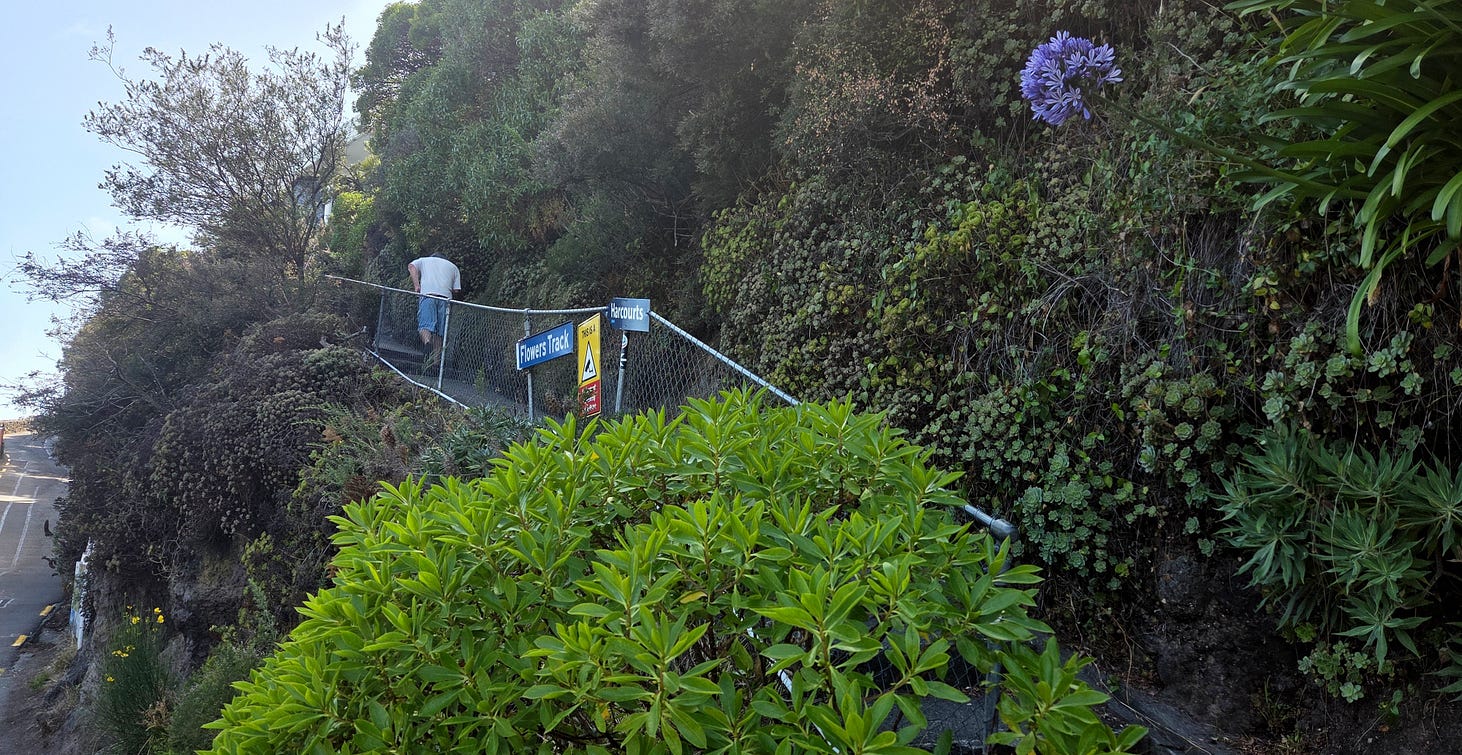

Flowers Track is gnarly in places; it gets slippery in bad weather. However, the weather was fine when I was up there!

Eventually, Flowers Track joins the Scarborough Track, at the junction shown in the next photo.

The Scarborough Track leads on to Nicholson Park, atop Sumner Head, 100 metres above the water, from which you take the Taylors Mistake Track to Te Onepoto/Taylors Mistake.
The next photo shows a view looking eastward, in the vicinity of an area known as Whitewash Head, toward another promontory called Giants Nose. Just before Giants Nose, you can see the zigzags of the Taylors Mistake Track.

The Taylors Mistake Track runs above some genuinely serious cliffs, and so the views are once more fantastic, though part of the clifftop track had been closed in favour of a detour when I was there.
I made a video of some seabirds flocking around one of the cliffs on the way.
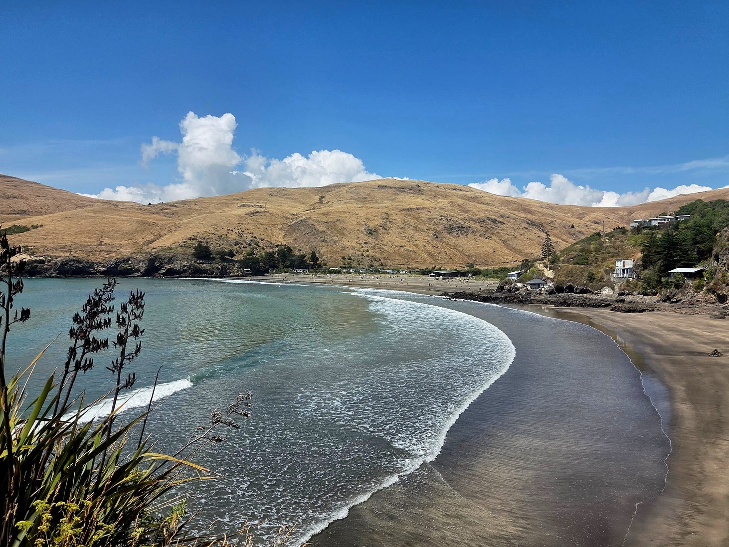
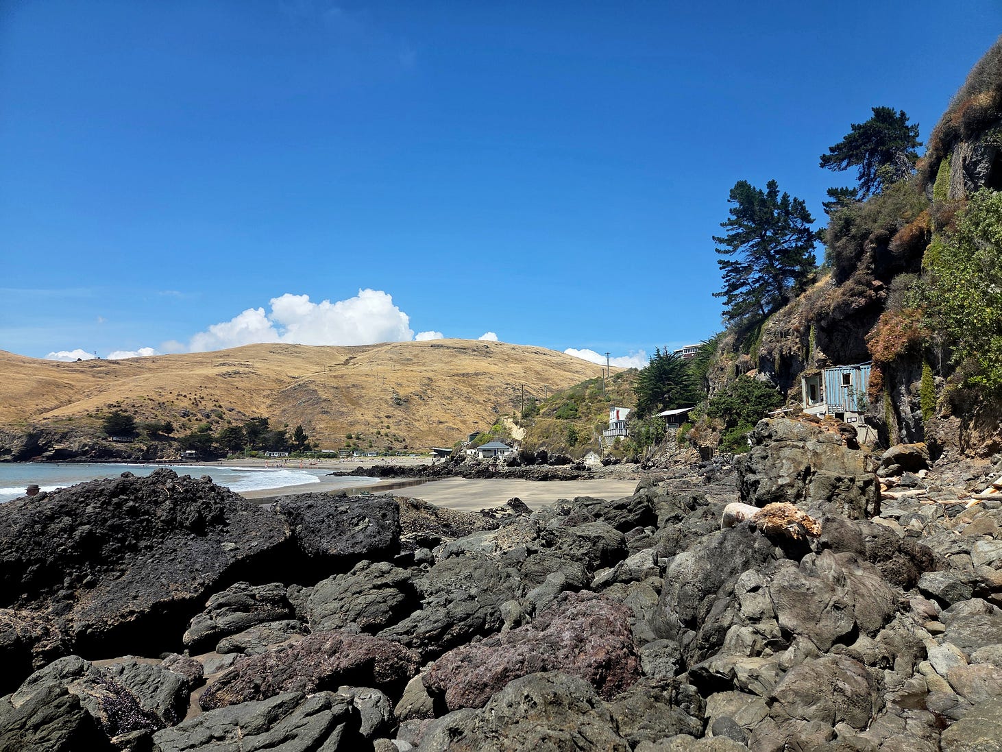
Before long, you get to Taylors Mistake itself, this little short beach, as the Māori name Te Onepoto also has it. It must have been a wild night when Captain Taylor mistook this for the entrance to Lyttelton Harbour.
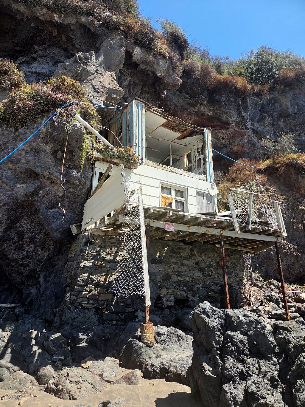
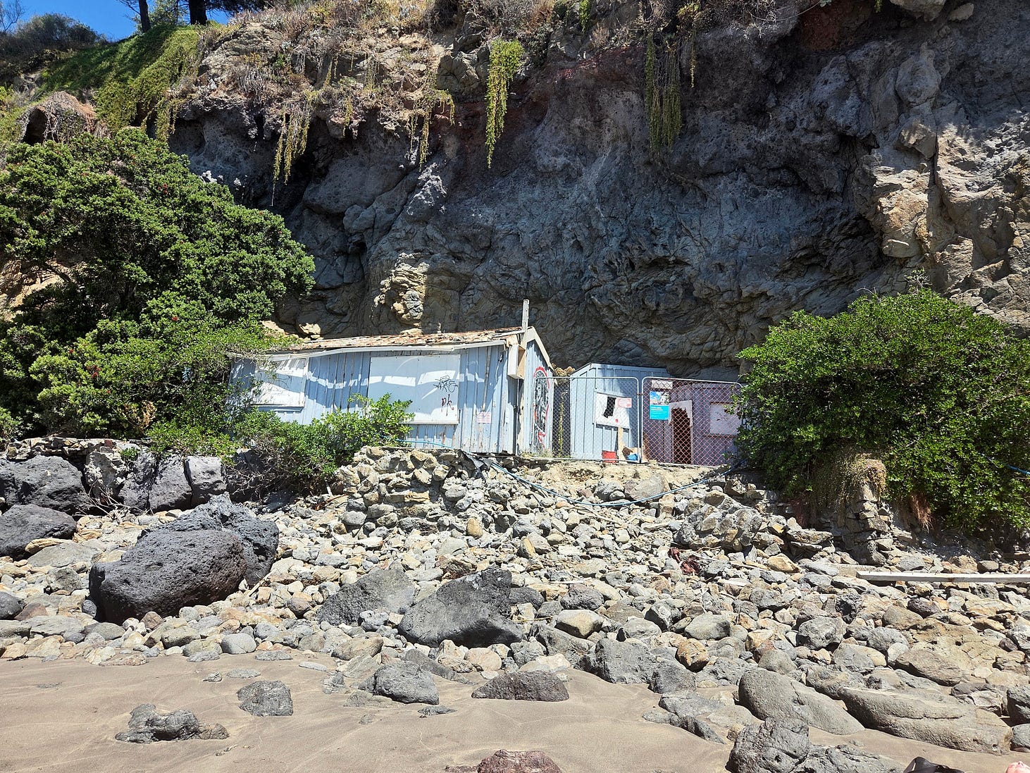
There are several dozen picturesque old baches, or seaside shacks, at Taylors Mistake, some of which you can see in the photo above, and with a bit more zoomed-in clarity in the next one.

There is a page on the website of Heritage New Zealand, ‘Rotten Row Baches,’ that describes the history of the baches at Taylors Mistake. Some have heritage status. Even so, according to an article published last year, four of the most badly deteriorated ones, in dodgy cliffside locations, are “soon to be demolished,”
I think the next few photos include the soon-to-be-demolished baches in question.
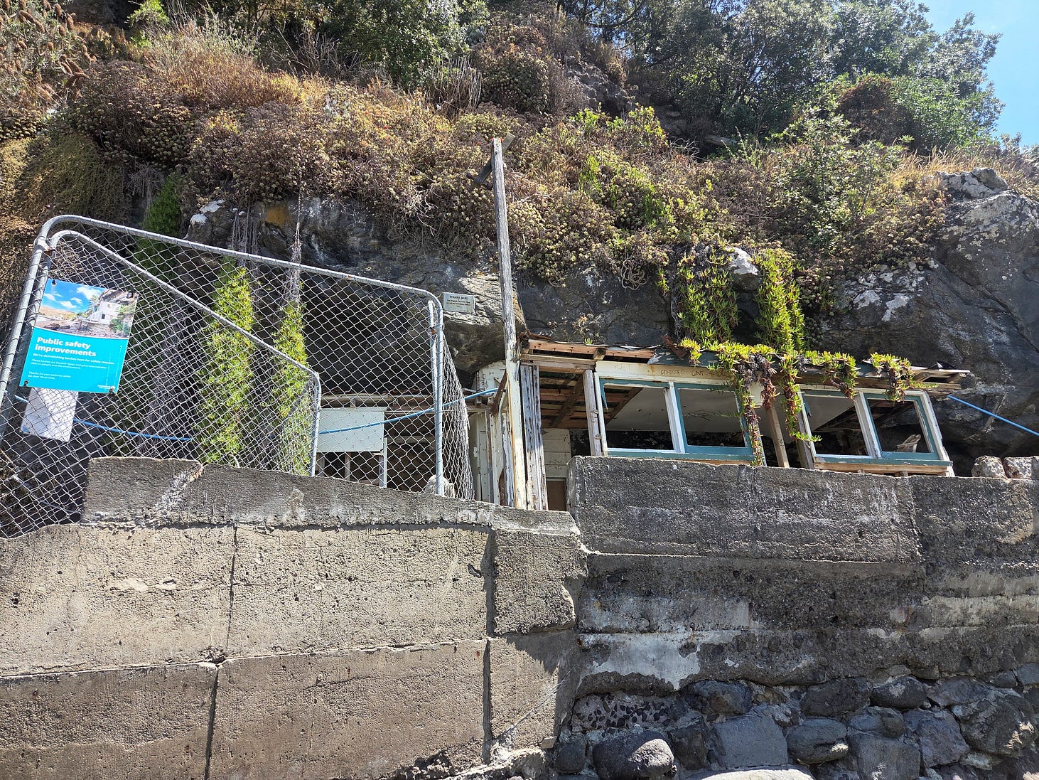


However, the powers that be are taking a long time to get around to it.
Apparently, there are practical difficulties involved, such as how to get a truck near them to receive the waste. And whether extra precautions are needed in case they contain asbestos. Or whether the cliffs might fall down on the workers once they start poking around.
Nobody worried about such things when the baches were being built, in the same way that nobody bothered to get planning permission either, nor pay rent on the public land on which they were erected.
From a certain point of view, those must have been the days!
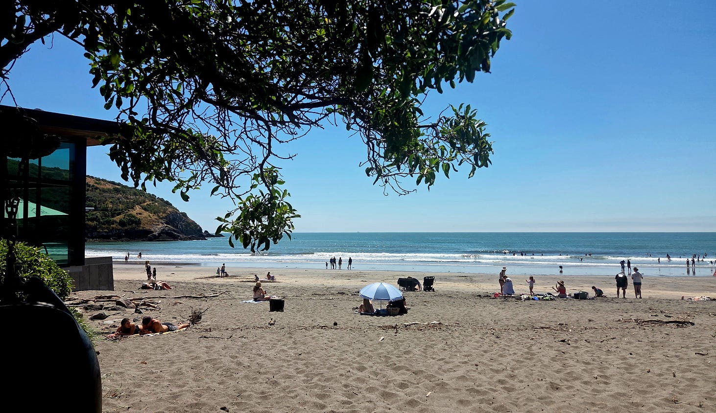
And here’s a view of the beach itself, which faces northward, into the sun.
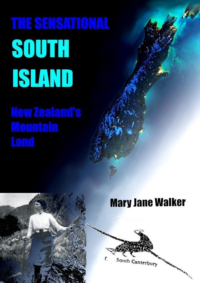
If you liked this post, check out my book about the South Island! It’s available for purchase from this website, a-maverick.com.
Subscribe to our mailing list to receive free giveaways!
